In early March we made a snowshoe trip to the new Annette Lake Sno-Park just east of Snoqualmie Pass. We loved being out in the beautiful winter scenery with deep fresh powder everywhere, and had a great time. We first walked a portion of the Palouse to Cascades State Park Trail, a historic rail trail, and later followed the Asahel Curtis Nature Trail. We particularly enjoyed the several footbridges en route that gave views to the snow-covered creeks below and provided a great setting for photographs.
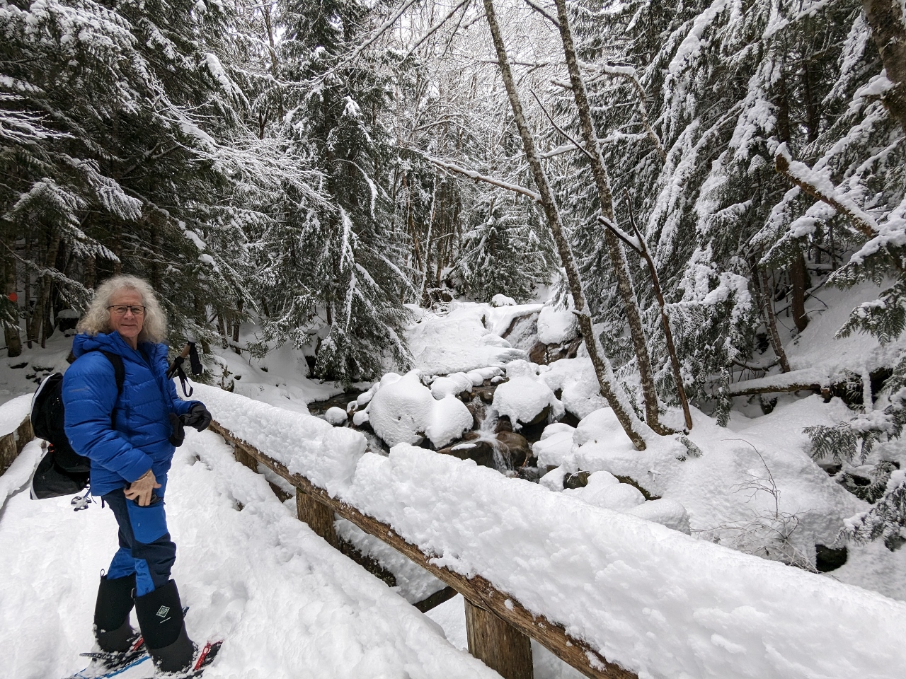
We normally wear hiking boots with gaiters when out snowshoeing. The gaiters are effective at preventing snow from getting into our boots over the top, but our feet still can get quite wet and cold through the hiking boots. We recently purchased some Muck Arctic Sport winter boots for surf landings on our trip to Antarctica. The boots are warm, waterproof and comfortable to walk in, so we decided to try them snowshoeing instead of hiking boots. They worked very well, but after several subsequent trips, we found the support wasn’t as good as our hiking boots and our feet still were getting cold. So we later switched back to hiking boots and will try foot warmers instead.
Below are highlights from March 4th, 2023. Click any image for a larger view, or click the position to view the location on a map. And a map with our most recent log entries always is available at mvdirona.com/maps.
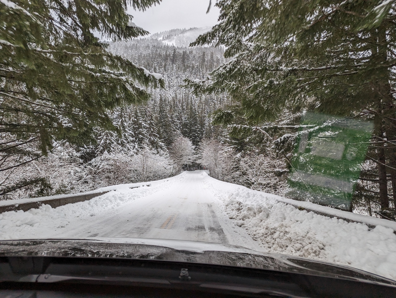 |
NF-55
Position: 47°23.73’N, -121°28.89’W
A snowy winter scene along National Forest Road 55 on our way to the Annette Lake Sno-Park.
|
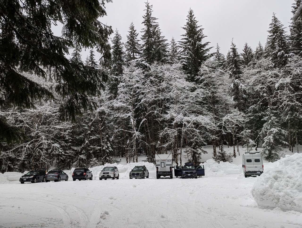 |
Parking
Position: 47°23.56’N, -121°28.62’W
The parking lot at the Annette Lake Sno Park was lightly occupied at 08:40 on a Saturday morning.
|
 |
Snow Boots
Position: 47°23.56’N, -121°28.45’W
We normally wear hiking boots with gaiters when out snowshoeing. The gaiters are effective at preventing snow from getting into our boots over the top, but our feet still can get quite wet and cold through the hiking boots. We recently purchased some Muck Arctic Sport winter boots for surf landings on our trip to Antarctica. The boots are warm, waterproof and comfortable to walk in, so we decided to try them snowshoeing instead of hiking boots. They worked very well, but after several subsequent trips, we found the support wasn’t as good as our hiking boots and our feet still were getting cold. So we later switched back to hiking boots and will try foot warmers instead.
|
 |
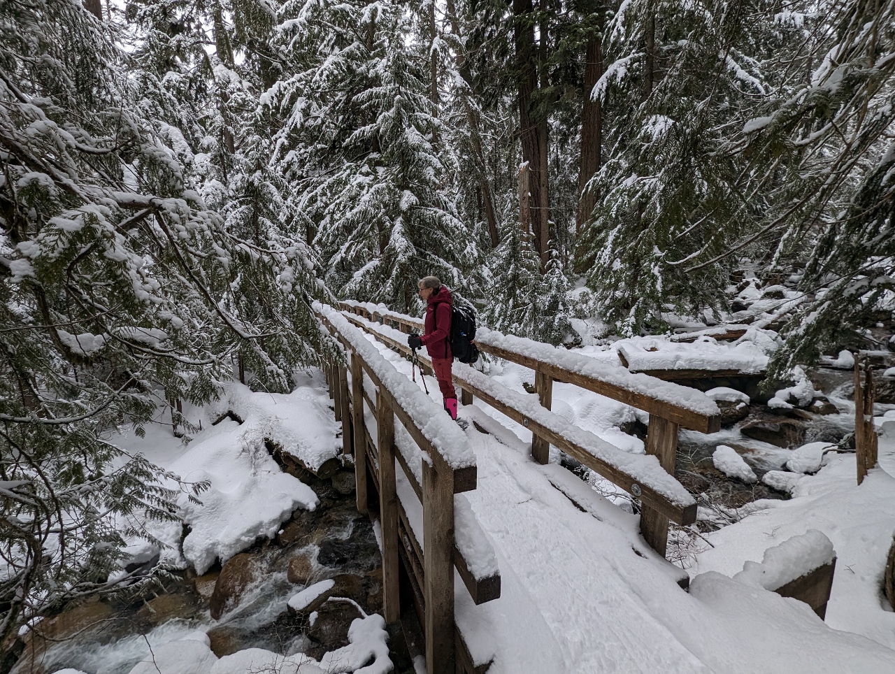
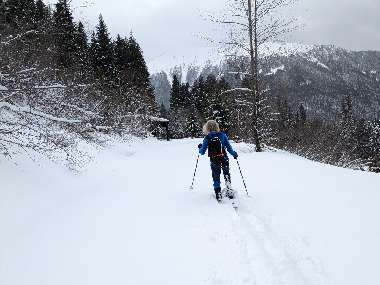
Humpback Creek
Position: 47°23.45’N, -121°28.45’W
Crossing a small bridge over Humpback Creek. We’re loving being back out in the beautiful winter setting.
|
 |
PtoC
Position: 47°23.06’N, -121°28.29’W
Walking a section of the Palouse to Cascades State Park Trail. The historic rail trail follows a portion of the route of the Chicago, Milwaukee, St. Paul, and Pacific Railroad, in operation between 1908 to 1980.
|
 |
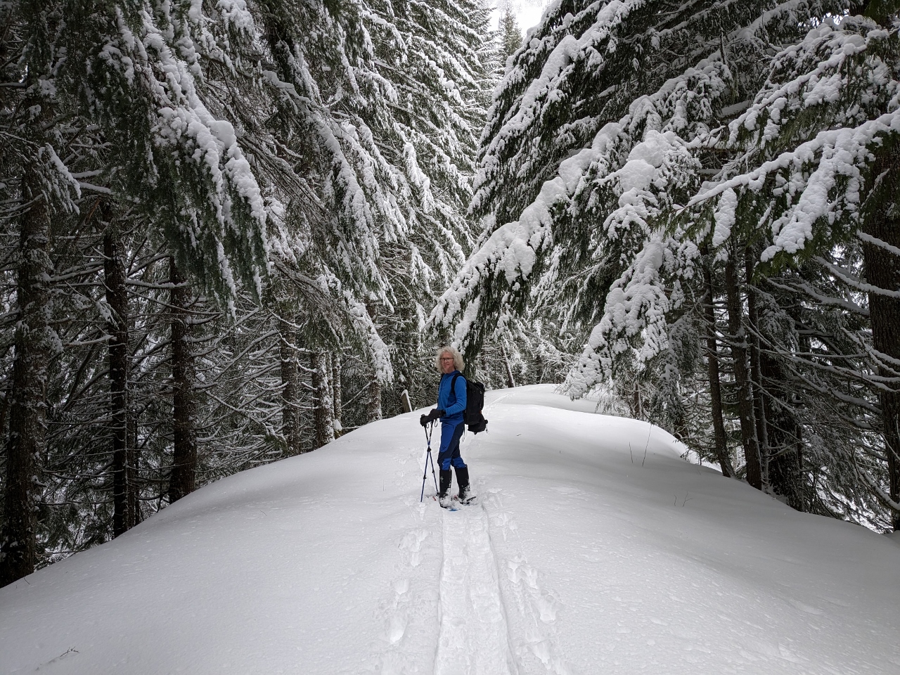
Breaking a Trail
Position: 47°23.15’N, -121°28.50’W
Several inches of snow had fallen in the past few days and we soon reached unbroken snow.
|
 |
Changing Lead
Position: 47°23.15’N, -121°28.50’W
Breaking a new trail through deep powder is tiring, so we frequently swap position to give the leader a break.
|
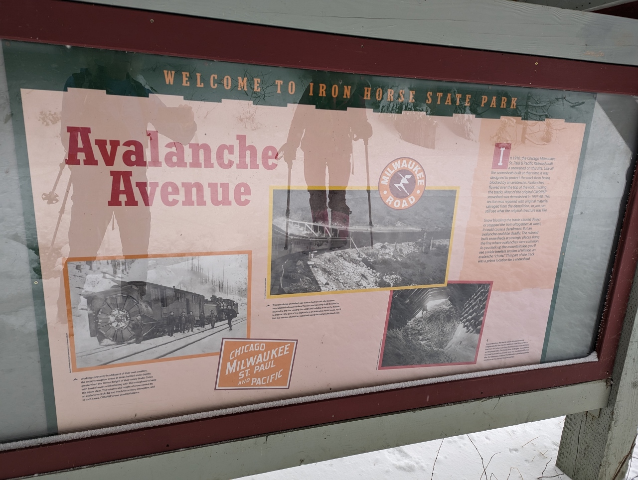 |
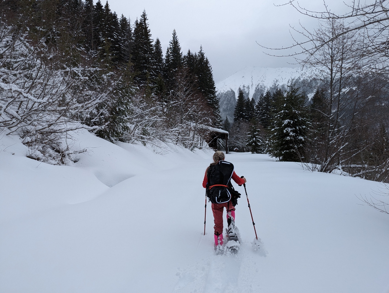
Avalanche Avenue
Position: 47°23.23’N, -121°28.52’W
Avalanches are a major problem for railroads operating through mountain passes. A 1910 avalanche in Stevens Pass killed 96 people and destroyed 2 trains. To protect the tracks, the railroad companys built snowsheds in avalanche-prone areas such as the one we are walking through, known as “Avalanche Avenue”. Most of the sheds were demolished in the 1990s, but the one we’re walking toward in the previous photos was rebuilt for historical record.
|
 |
Whiteout
Position: 47°23.27’N, -121°28.54’W
Just past Avalanche Avenue, gusty winds filled the air with snow blown off the trees and slopes. It was like being in a sudden miniature blizzard.
|
 |
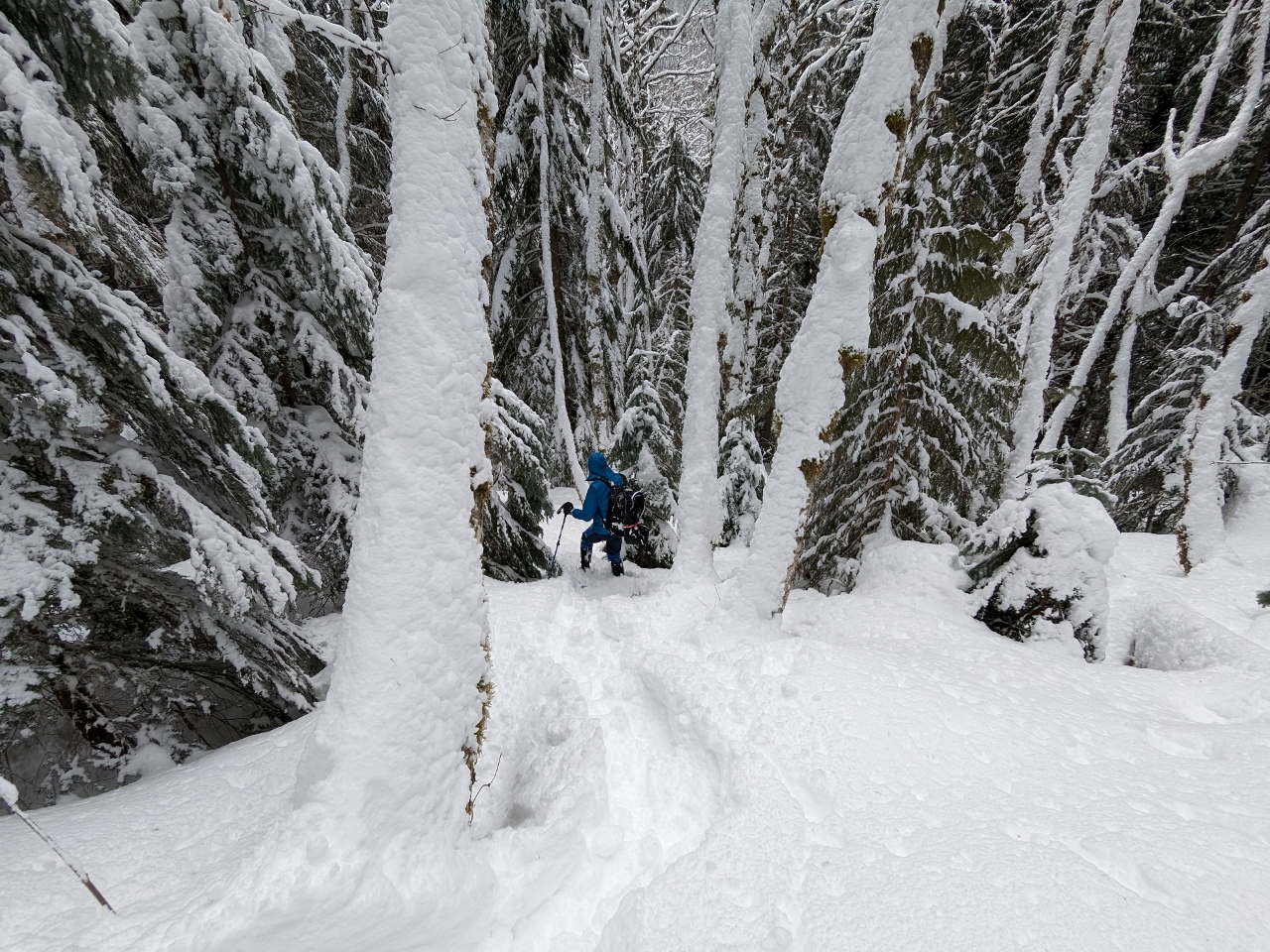
Shortcut
Position: 47°23.38’N, -121°28.64’W
Rather than return the way we came, we took a shortcut down through the trees. Here James is disappearing into the trees.
|
 |
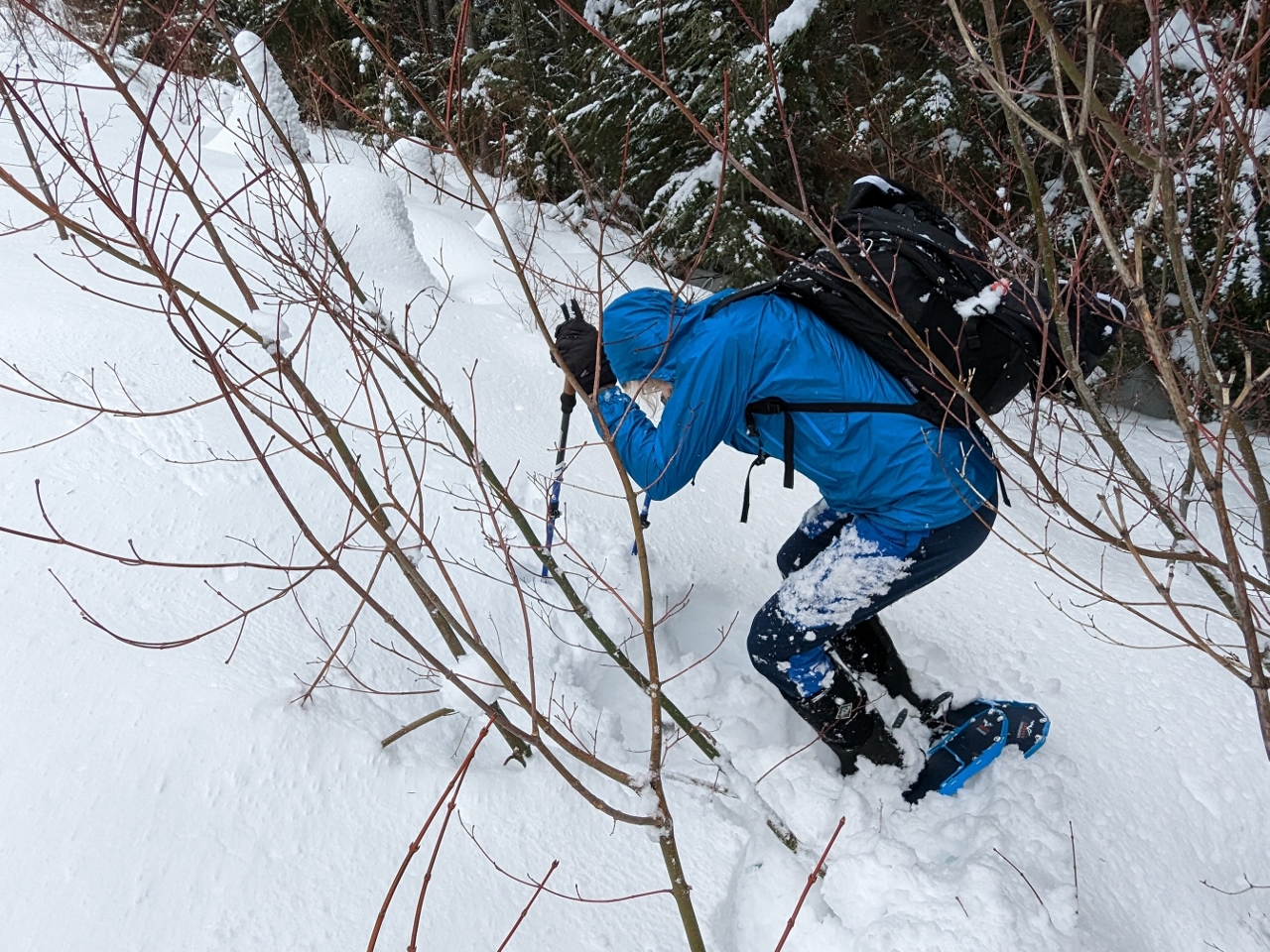
Steep
Position: 47°23.41’N, -121°28.64’W
The shortcut we’re taking is quite steep. Jennifer is just visible up the hill during another snow gust.
|
 |
Deep Powder
Position: 47°23.42’N, -121°28.64’W
The snow here is a very deep light powder, and we’re sinking in a long way. But going downhill through unbroken snow is much easier than walking on even ground.
|
 |
Standing Up
Position: 47°23.48’N, -121°28.64’W
James righting himself with his poles after catching a snowshow on a branch and tipping over.
|
|
|
Nature Trail
Position: 47°23.56’N, -121°28.43’W
Crossing a second bridge over Humpback Creek to walk along the Asahel Curtis Nature Trail. This bridge was completed in 2014, the work of Washington Trail Association volunteers who moved more than 200,000 pounds (90,718 kg) of rock, gravel, and dirt over the course of 300 volunteer days.
|
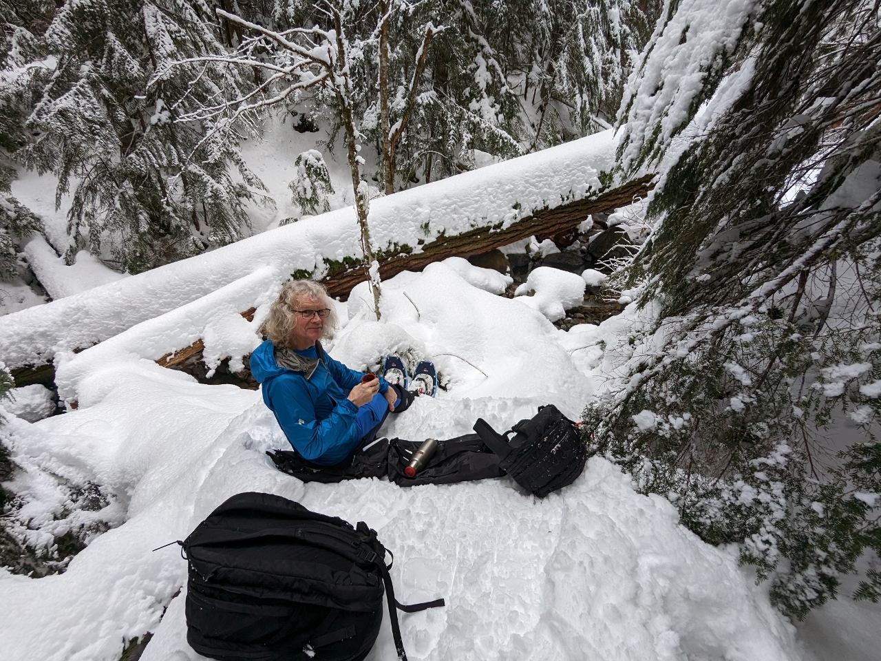 |
Snack
Position: 47°23.54’N, -121°28.41’W
Enjoying some hot tea and a snack overlooking a creek along the Asahel Curtis Nature Trail.
|
 |
Interpretive Sign
Position: 47°23.48’N, -121°28.25’W
One of the few beautiful interpretive signs along the Asahel Curtis Nature Trail that isn’t buried in the snow.
|
 |
McClellan Butte
Position: 47°24.29’N, -121°33.98’W
The view to snow-covered 5,162 ft (1,573 m) McClellan Butte as we head back towards Seattle from our snowshoe trip.
|
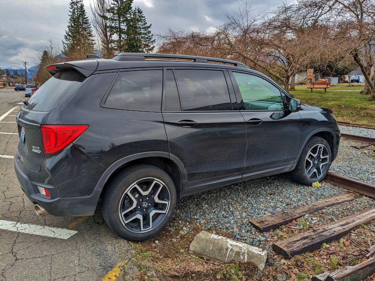 |
North Bend
Position: 47°29.62’N, -121°47.07’W
Our trusty Honda Passport parked by the railroad tracks while we have lunch at the North Bend Bar and Grill.
|
 |
Click the travel log icon on the left to see these locations on a map. And a map of our most recent log entries always is available at mvdirona.com/maps. |
If your comment doesn't show up right away, send us email and we'll dredge it out of the spam filter.