Government Camp, Oregon is the main settlement near the ski resorts at Mt. Hood. The town’s name derives from a government convey of munitions destined for Oregon forts that camped there in 1849. The convoy was following the Barlow Road, a toll road that was the last overland segment of the Oregon Trail before reaching the Willamette Valley. Prior to the construction of Barlow Road in 1846, pioneers had to disassemble their wagons to build rafts with them in order to float down the Columbia River, a perilous journey with long delays. The Barlow Road was itself difficult, but so much faster and safer than the river option that in the first year over a thousand emigrants in 150 wagons traveled the road and paid the $5 toll (about a week’s wages back then and $150 today).
We followed a portion of the route of the original Barlow Road as we neared Government Camp for a weekend of snowshoeing on Mt. Hood. We enjoyed our cabin at Stone Creek Lodge near Mt. Rainier a month ago so much that we decided to try VRBO (Vacation Rental By Owner), and it worked out super-well. The picture above shows Jennifer on the porch of our cabin, Tom Creek Haus, at Government Camp. The cabin even allowed pets, so Spitfire came along for his first road trip since we drove across the country from Charleston to Seattle.
Below are highlights from April 27th, 2022. Click any image for a larger view, or click the position to view the location on a map. And a map with our most recent log entries always is available at mvdirona.com/maps.
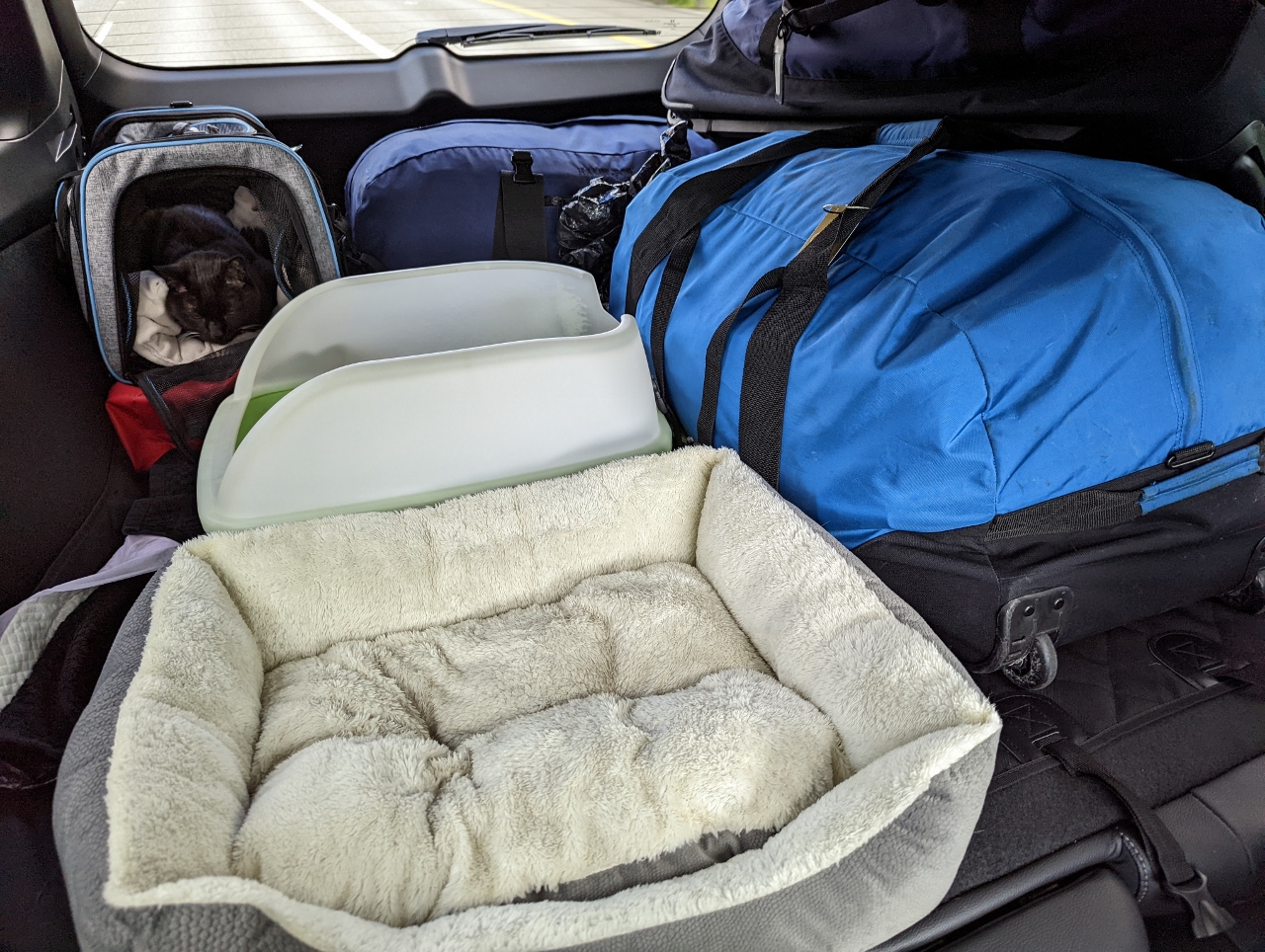 |
Kitty Central
Position: 47°31.97’N, -122°17.74’W
Kitty Central “Mobile Edition” back in use as we head to Government Camp, Oregon.
|
 |
Tacos Guaymas
Position: 47°13.34’N, -122°28.39’W
Delicious street tacos at Tacos Guaymas in Tacoma en route to Government Camp, Oregon.
|
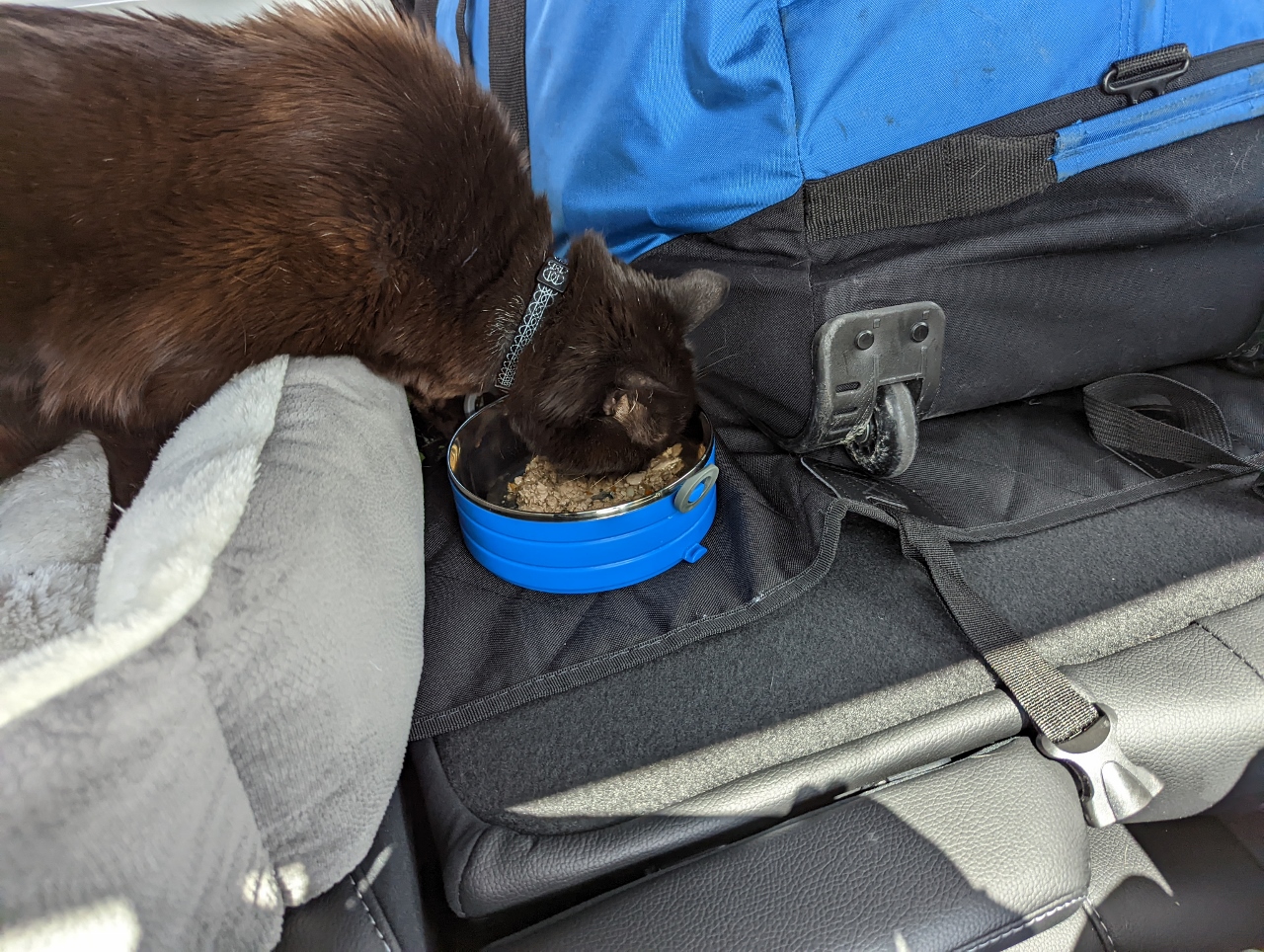 |
Bento
Position: 46°13.10’N, -122°53.47’W
Spitfire eating lunch from his Go Pet Bento travel food bowls as we drive south towards Government Camp, Oregon. We bought the stacking food bowls for the road trip across the US, and they worked out super-well to allow us to easily feed him underway and move any uneaten food between the vehicle and the hotel.
|
 |
Somarakis
Position: 45°59.17’N, -122°49.84’W
The large blue building in the foreground is the Somarakis manufacturing plant at Kalama, WA. Somarakis makes liquid ring vacuum pumps, where a ring of liquid forms the compression chamber seal, that are shipped around the world. In the background is with Temco grain export terminal. Located along the Columbia River, the Temco terminal exports about 250 million bushels of grain per year, where a typical grain ship carries about 2.2 million bushels.
|
 |
Columbia River
Position: 45°34.84’N, -122°32.64’W
Crossing the Columbia River from Washington State into Oregon.
|
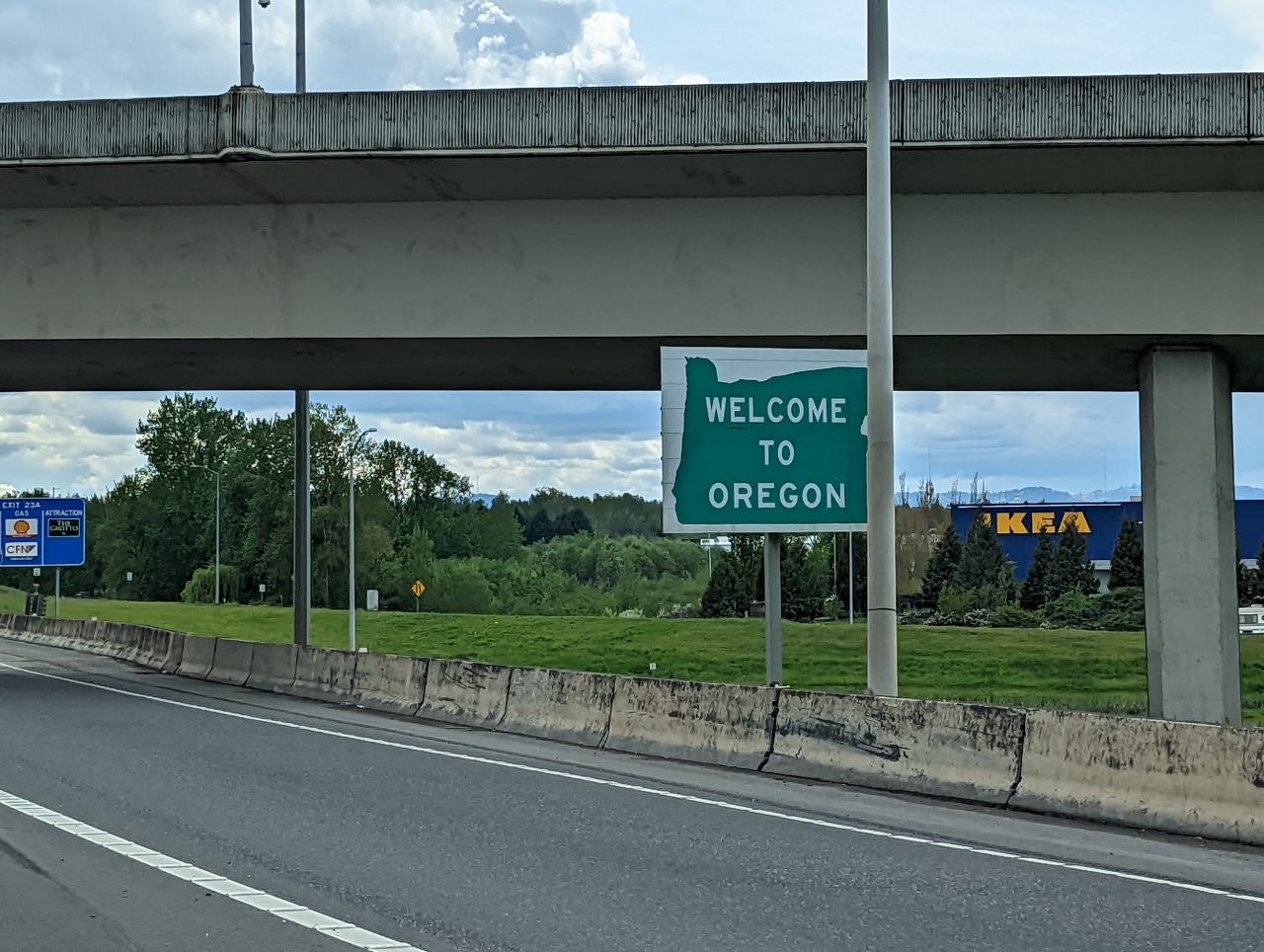 |
Oregon
Position: 45°34.84’N, -122°32.64’W
We’re back in Oregon for the first time since arriving back in Seattle last summer.
|
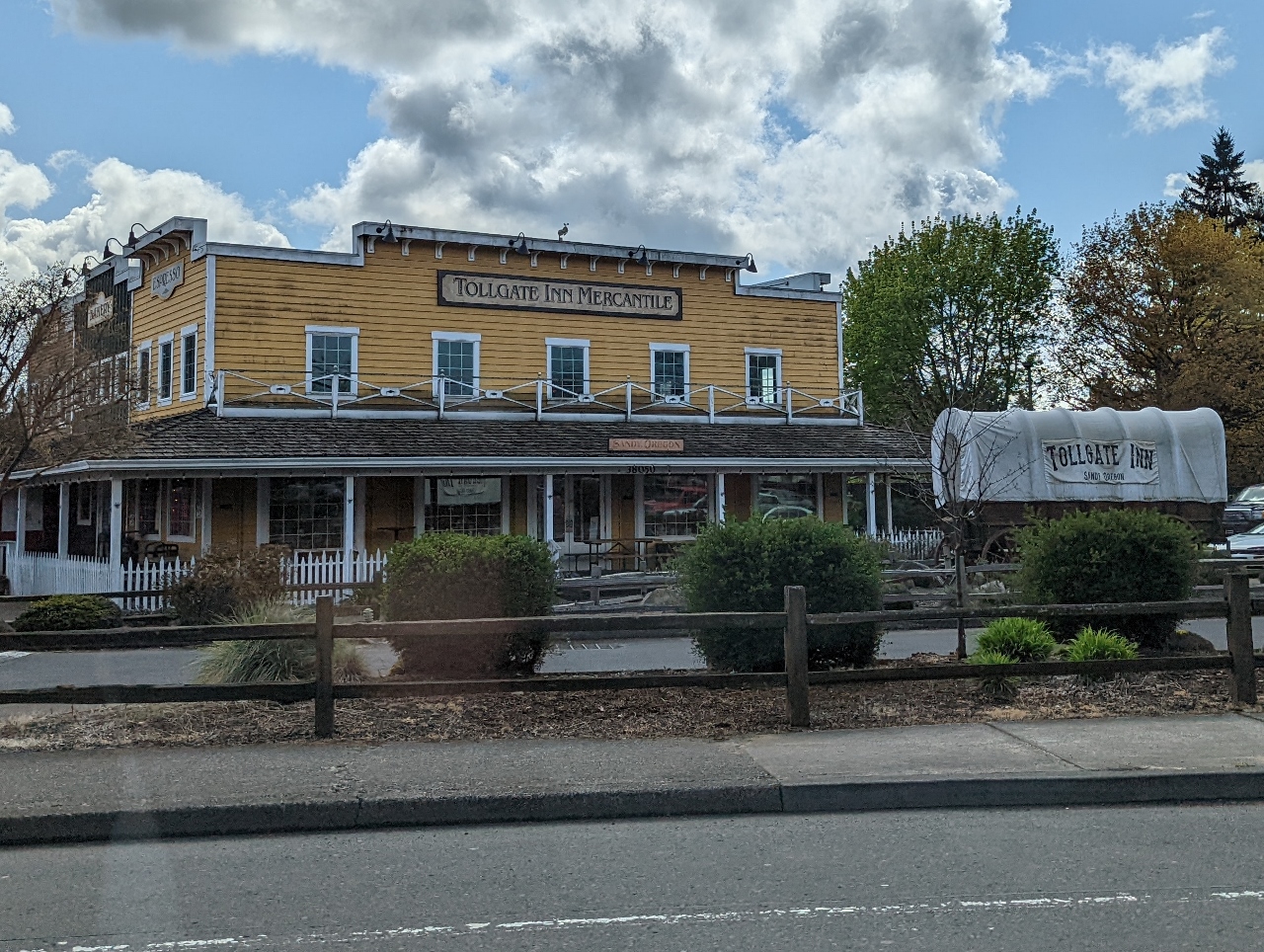 |
Tollgate Inn
Position: 45°23.87’N, -122°16.31’W
Passing the Tollgate Inn in Sandy, Oregon along US Route 26. We’re following the route of Barlow Road, a toll road that was the last overland segment of the Oregon Trail before reaching the Willamette Valley. Prior to the construction of Barlow Road in 1846, pioneers had to disassemble their wagons to build rafts with them in order to float down the Columbia River, a perilous journey with long delays. The Barlow Road was itself difficult, but so much faster and safer than the river option that in the first year over a thousand emigrants in 150 wagons traveled the road and paid the $5 toll (about a week’s wages or $150 in today’s money).
|
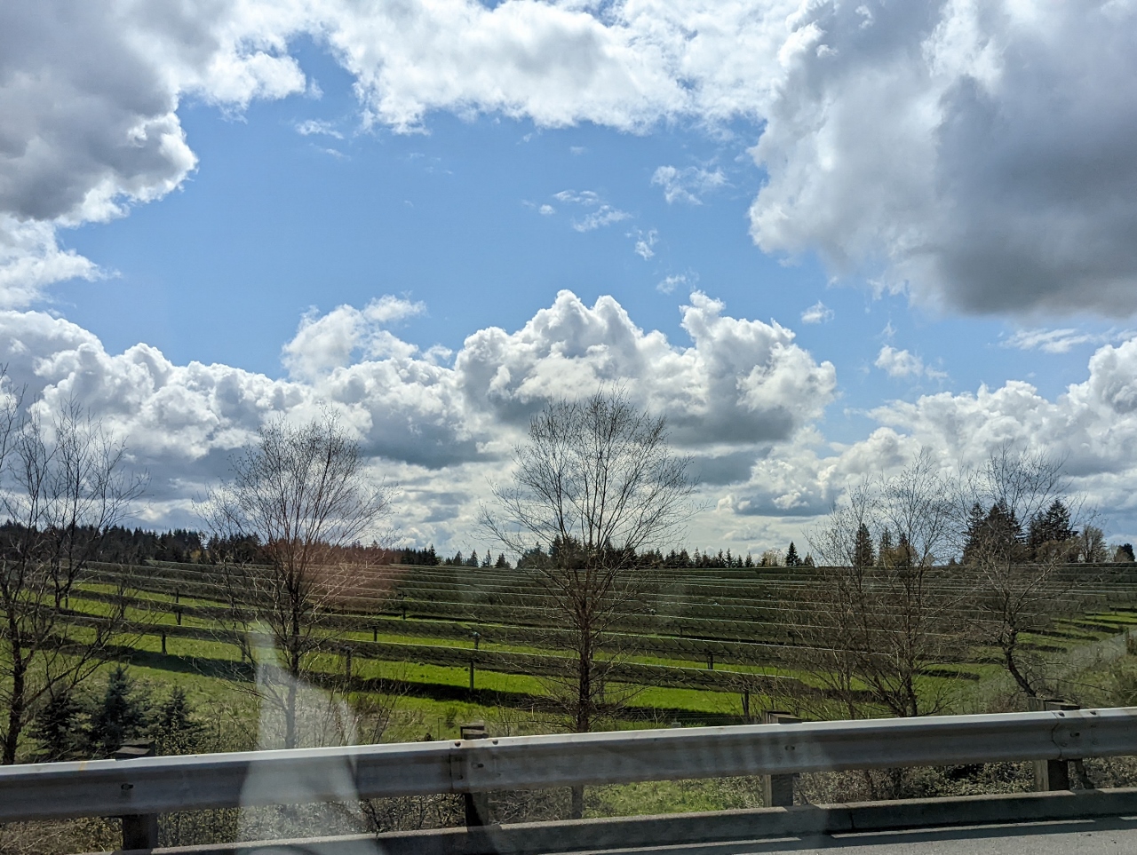 |
Firwood Solar Farm
Position: 45°22.94’N, -122°13.77’W
The Firwood solar farm just outside Sandy, Oregon produces 15.2 MWdc of renewable energy.
|
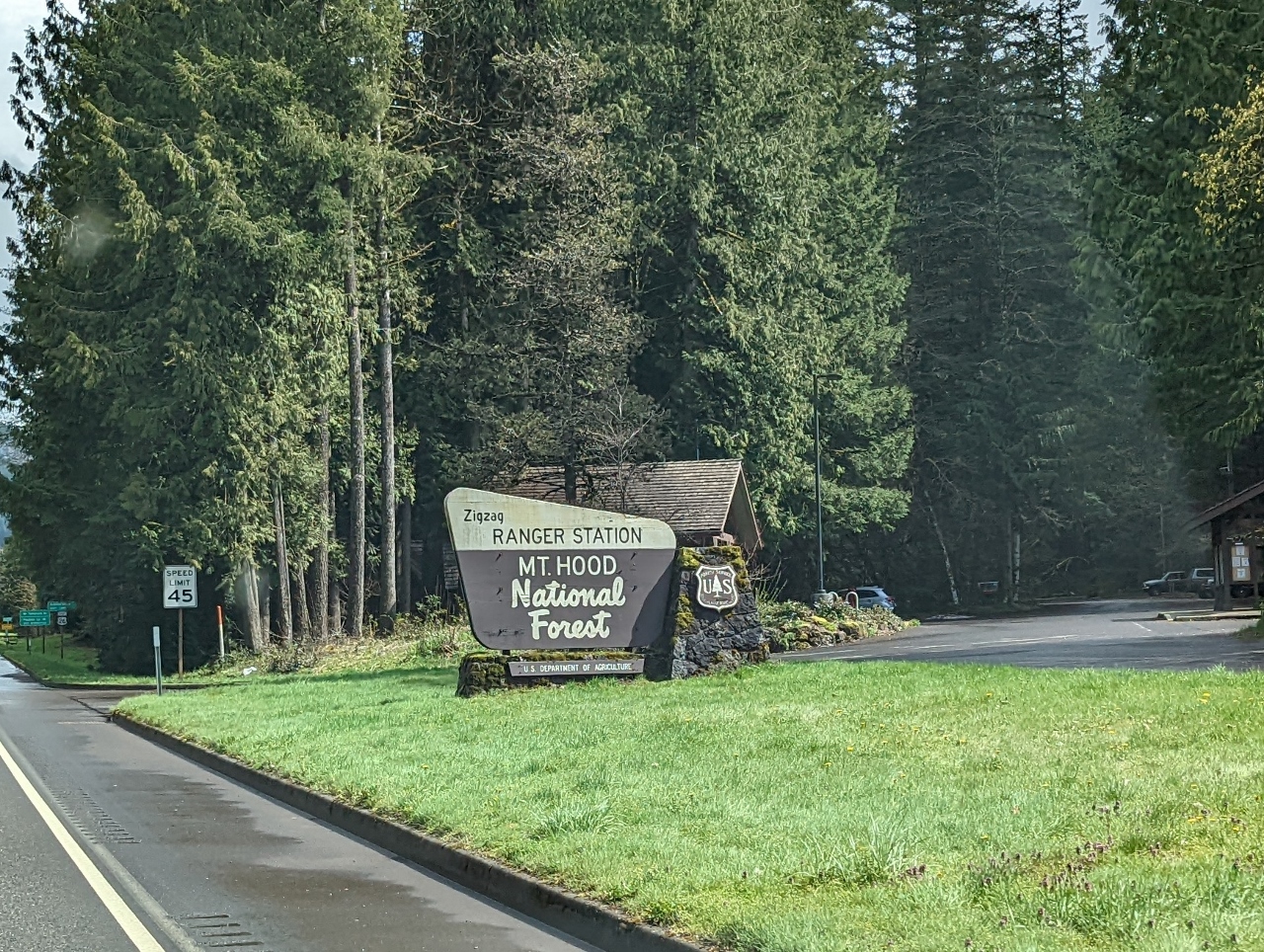 |
Mt. Hood NF
Position: 45°20.63’N, -121°56.57’W
Entering Mount Hood National Forest.
|
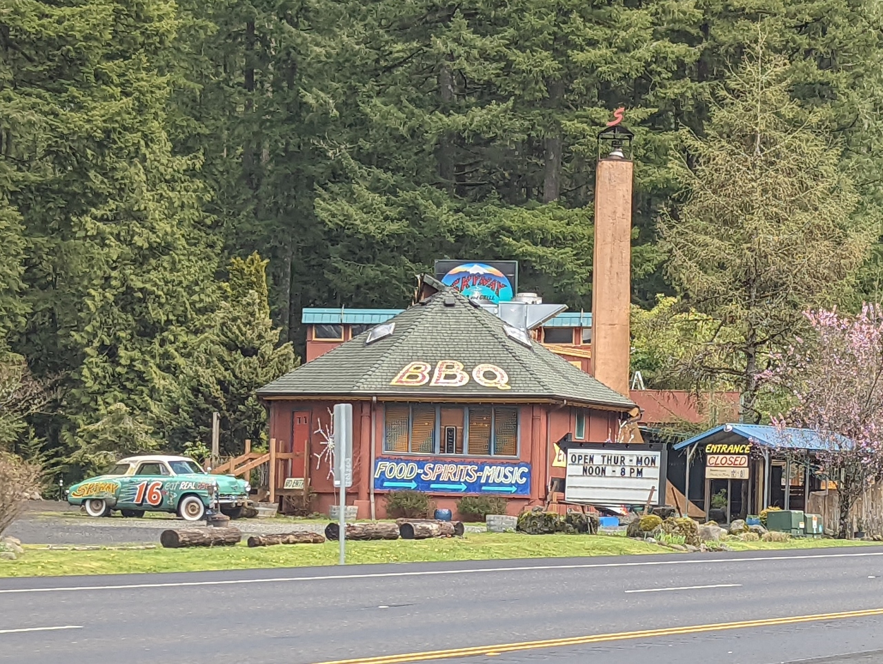 |
Skyway Restaurant
Position: 45°20.63’N, -121°56.57’W
Since the 1970s, the Skyway Restaurant has been serving the after-ski crowd heading back to Portland from Mt. Hood.
|
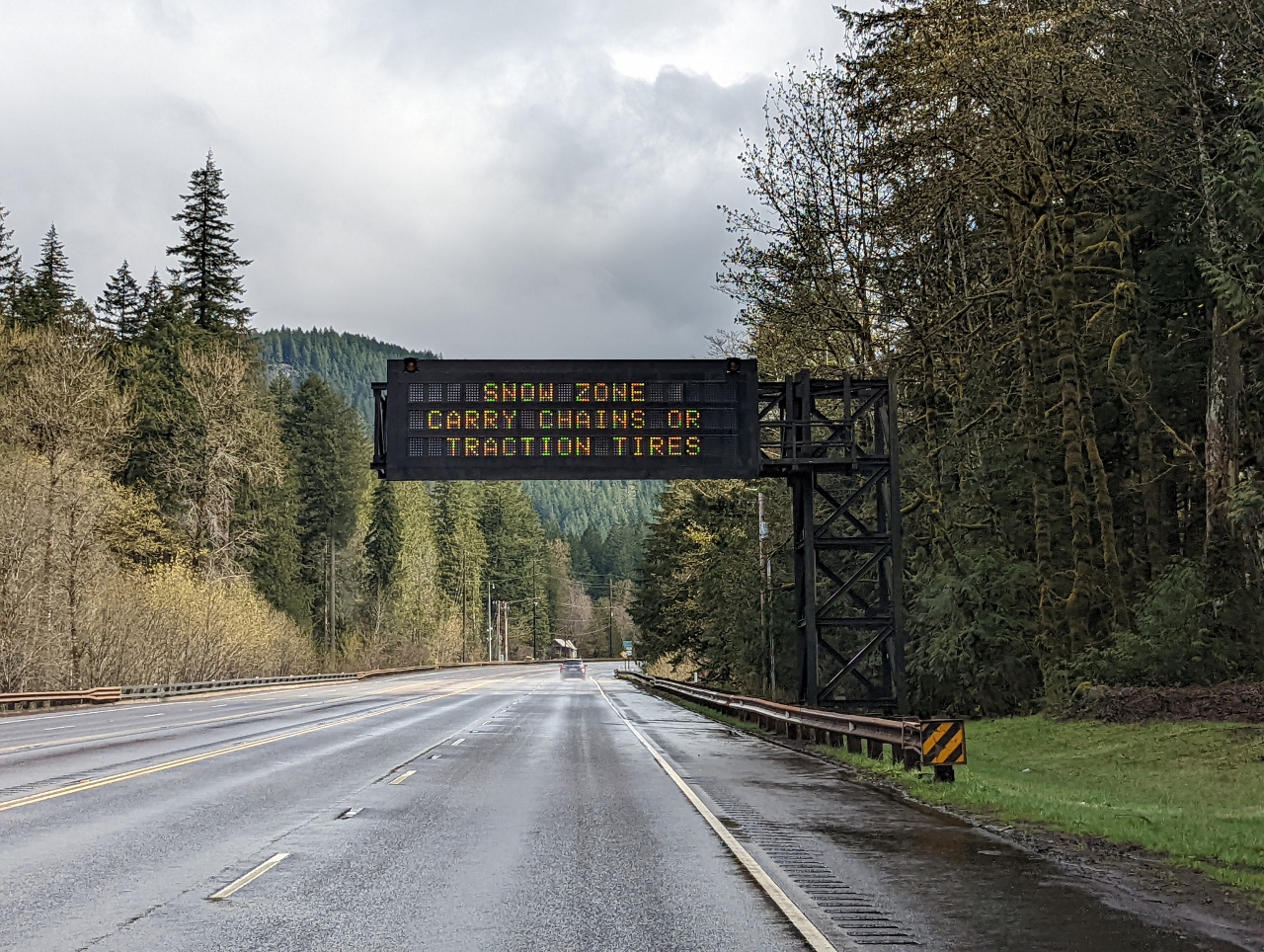 |
Snow Zone
Position: 45°20.15’N, -121°55.26’W
There’s no snow here at 1,429 ft (436 m), but we’re entering a snow zone as we ascend towards Mt. Hood.
|
 |
Trees
Position: 45°19.27’N, -121°54.28’W
Beautiful tree-lined stretch of road along US Route 26.
|
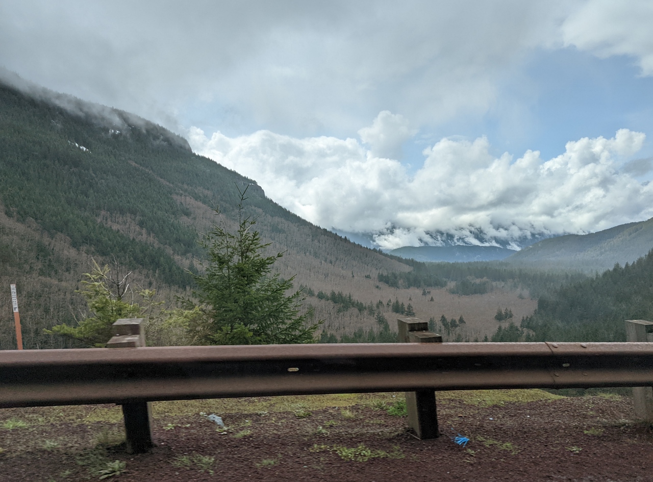 |
Wind Creek Basin
Position: 45°18.37’N, -121°49.52’W
View to the Wind Creek Basin from the Rockwood Viewpoint at altitude 2,643 ft (806 m) on US Route 26 near Government Camp.
|
 |
Snow
Position: 45°18.67’N, -121°48.13’W
Snow still on the ground at altitude 3,052 ft (930 m) on Mt. Hood.
|
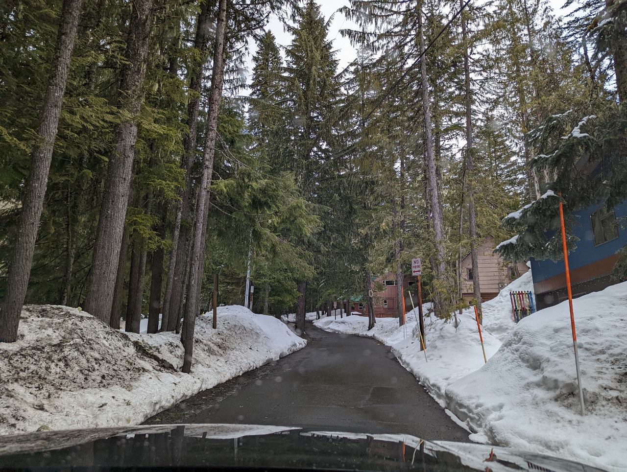 |
E Wyeast Trail
Position: 45°18.26’N, -121°45.41’W
Heading up E Wyeast Trail towards our cabin at Government Camp, the main settlement at Mt. Hood. The town was so named when a government convey of munitions destined for Oregon forts camped here along the Barlow Road in 1849.
|
|
|
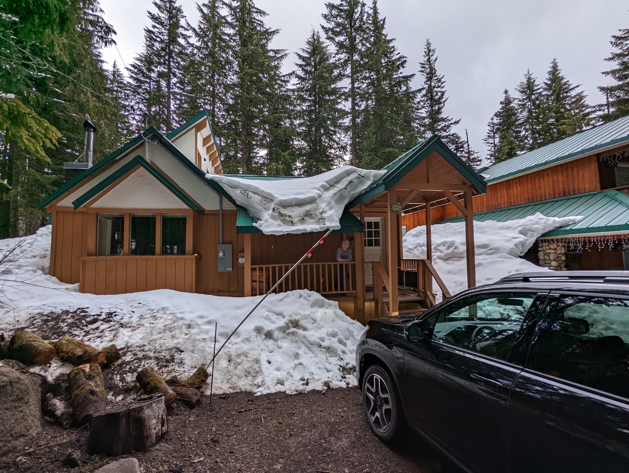
Tom Creek Haus
Position: 45°18.35’N, -121°45.32’W
Jennifer on the porch of our cabin, Tom Creek Haus, at Government Camp. The is our first time renting through VRBO (Vacation Rental By Owner). We quite enjoyed the cabin we stayed in at Stone Creek Lodge near Mt. Rainier, so are trying something similar in renting a much larger, stand-alone cabin.
|
 |
Spitfire
Position: 45°18.34’N, -121°45.32’W
Spitfire making an exploratory pass through our cabin at Government Camp. At this house, he’s not allowed on the furniture, and it looks like he knows it. He fairly quickly got used to the rules. In the hotels we stayed in on our road trip across the US, it usually took him under an hour to get comfortable and relax. But the cabin was so much bigger that he didn’t really seem at home until a couple of days in.
|
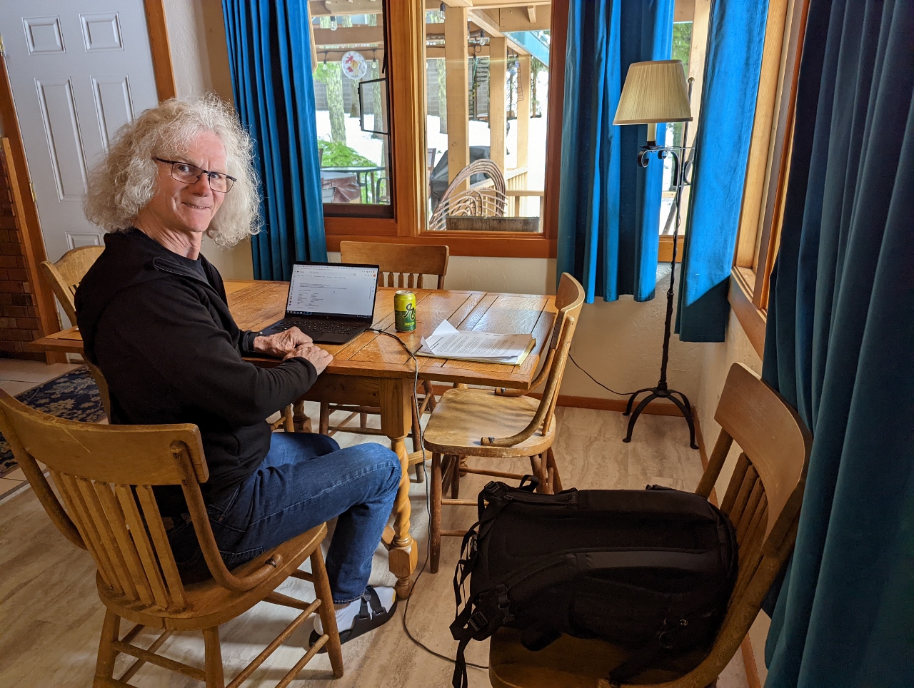 |
Office
Position: 45°18.34’N, -121°45.31’W
James getting a little work done in our cabin at Government Camp.
|
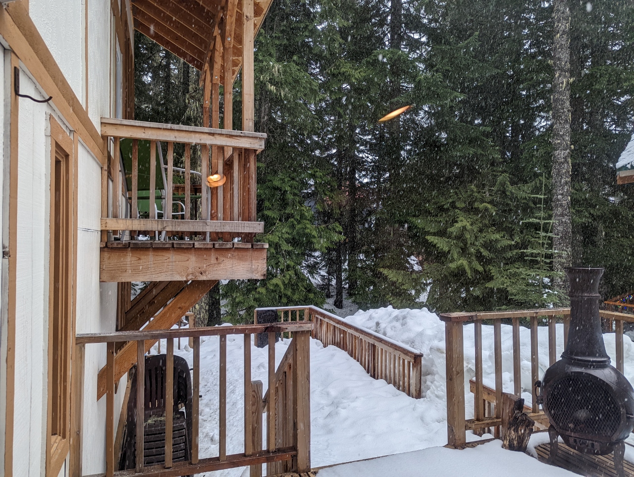 |
Snowing
Position: 45°18.34’N, -121°45.31’W
It’s late April and snow is falling, with plenty still built up on the deck of our cabin at Government Camp.
|
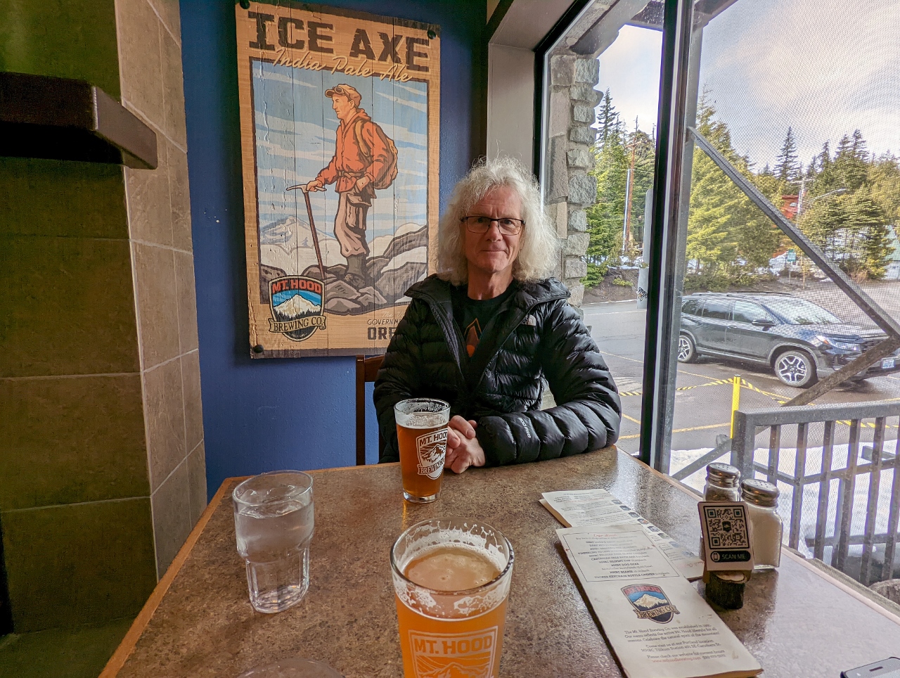 |
Mt. Hood Brewing
Position: 45°18.20’N, -121°45.97’W
An enjoyable dinner at Mt. Hood Brewing company in front of the poster for Ice Axe IPA that we are drinking, with our Honda Passport visible out the window.
|
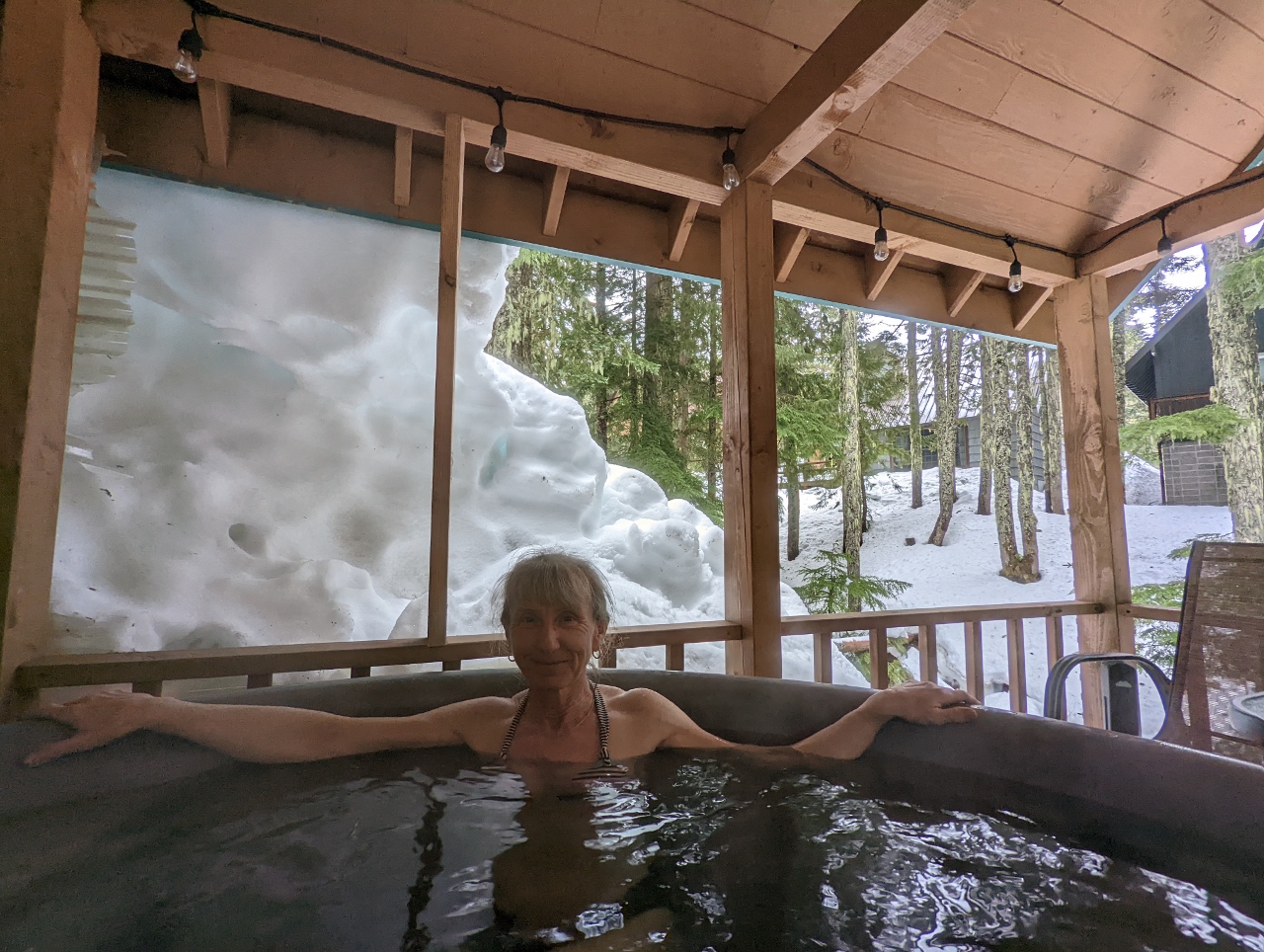 |
Hot Tub
Position: 45°18.33’N, -121°45.30’W
A relaxing soak in the hot tub in our cabin at Government Camp with snow piled high behind.
|
 |
Click the travel log icon on the left to see these locations on a map. And a map of our most recent log entries always is available at mvdirona.com/maps. |
Nice views crossing the columbia river and wind greek basin thank you for sharing