The Deer Island Treatment Plant is the second largest sewage treatment plant in the country, treating 350 million gallons per day with a peak capacity of 1,310 million gallons per day. The $3.8-billion plant is the centerpiece in the successful Boston Harbor cleanup effort. The plant’s unusual egg-shaped digesters are distinctive landmarks on entering Boston Harbor—we sure noticed them on our way into the harbor. Our tour of the plant provided an in-depth history of sewage treatment technology in Boston and a walk through the entire facility. We even got to stand beneath one of those giant eggs.
This post is the 16th in the Technology Series. Past posts have included USS California Distinguished Visitor Embark, Metal Shark Aluminum Boats, Johnny Sessa Bulldozing, the heavy-equipment manufacturer Bell Equipment, and the 2015 Moth World Championships.
Trip highlights from our trip to Deer Island follow. Click any image for a larger view, or click the position to view the location on a map. And a live map of our current route and most recent log entries always is available at http://mvdirona.com/maps
 |
Pumping Station
Position: -70 57.51, 42 20.94
The historic Steam Pumping Station at the Deer Island Treatment Plant where we will start our tour of the facility. Prior to the construction of the treatment plant, Deer Island housed one of several sewage pumping stations that since the 1800s simply pumped raw sewage the sea, giving Boston Harbor a reputation as one of the dirtiest in the country.
|
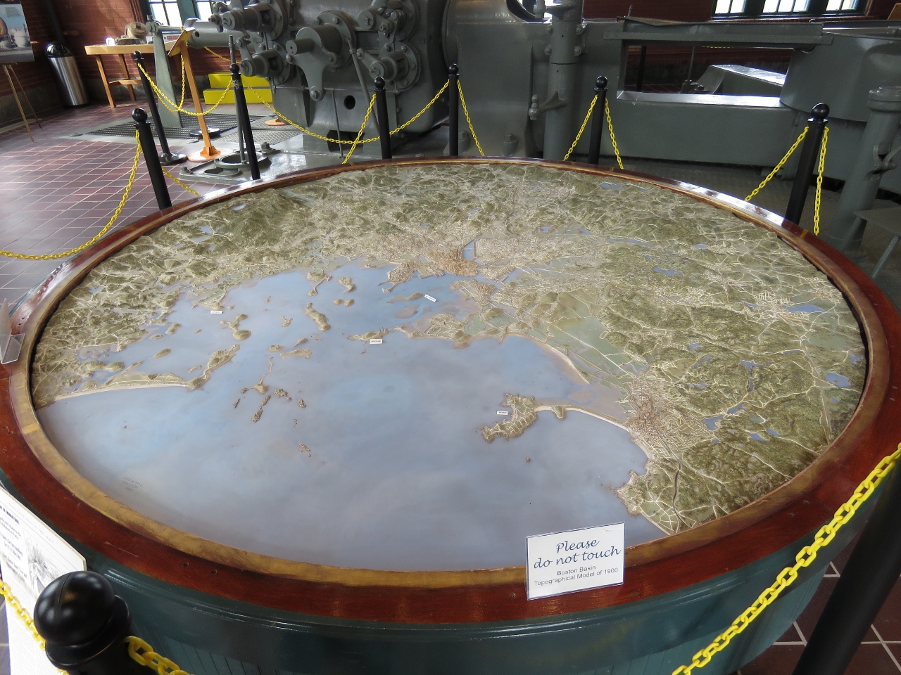 |
Relief map
Position: -70 57.50, 42 20.94
This 1:14,000 relief map inside the pumping station shows Boston in astonishing detail, down to every tree, and was created for the 1900 Paris Exposition. At the time, Deer Island (labelled in the center of the map) still was an island. A 1938 hurricane filled in the land between Winthrop and the island.
|
 |
Pump
Position: -70 57.50, 42 20.94
One of the old multi-stage steam pumps used to pump raw sewage to sea before the treatment plant came online.
|
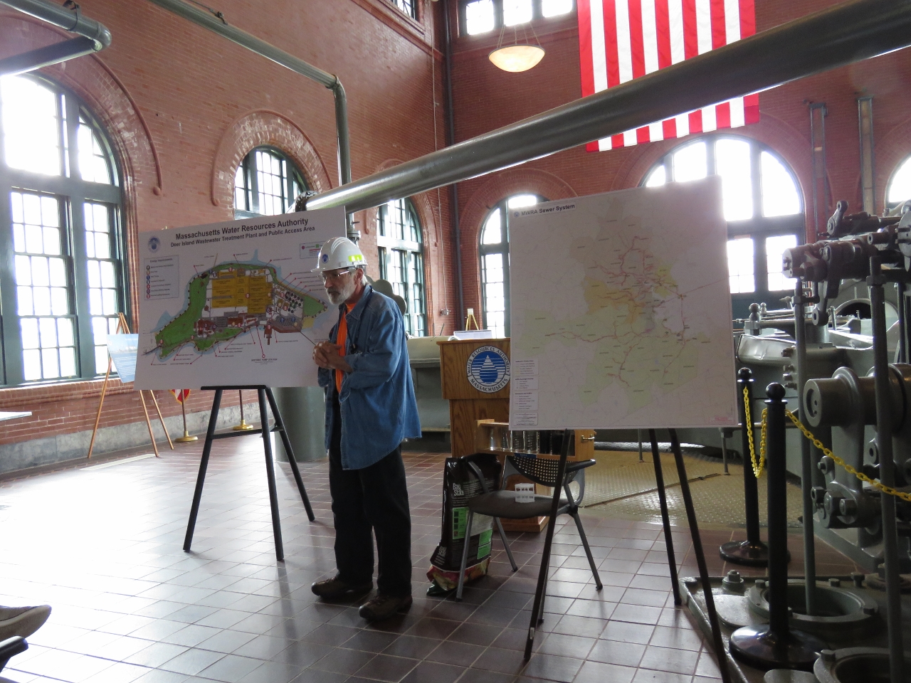 |
Tour
Position: -70 57.50, 42 20.94
The plant tour started with an overview of the treatment process and a history of the island. Our guide is a plant engineer who is incredibly knowledgeable and enthusiastic about all aspects of operation.
|
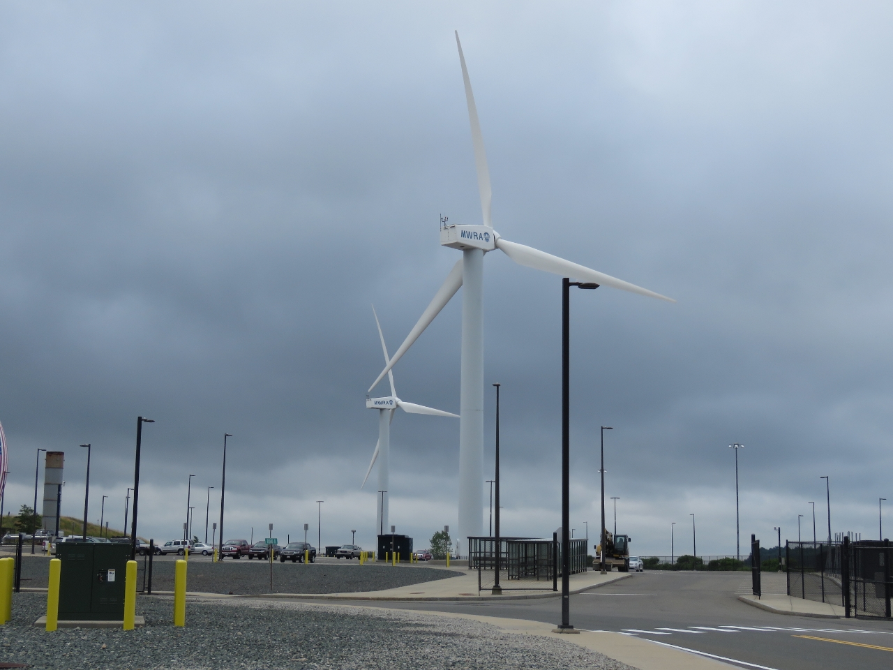 |
Wind Turbine
Position: -70 57.47, 42 20.91
These two 600kW wind turbines are 190 ft tall and generate over 2M kWh per year. Deer Island currently generates 20% of its electricity, with on-site renewable energy supplying over half of the the plant’s energy usage. As large as these turbines are, in the wind turbine world they’re actually fairly small. The allowable turbine height is limited due to the nearness of nearby Logan Airport.
|
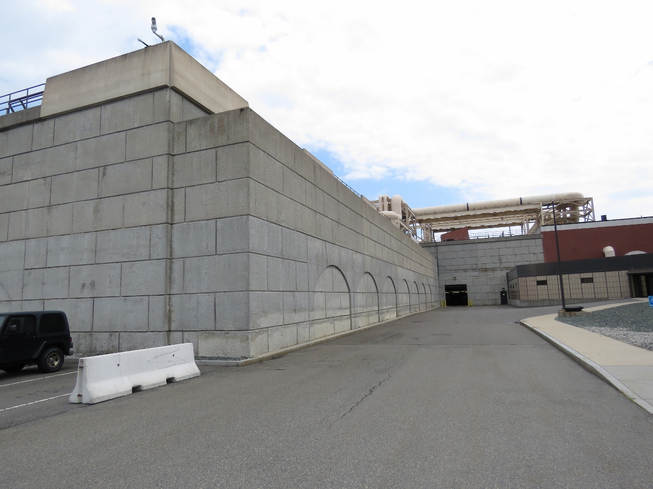 |
Primary clarifiers
Position: -70 57.46, 42 20.90
Outside one of the 48 primary clarifiers. Each clarifier is 186 feet long by 41 feet wide by 24 feet deep. Raw sewage first flows through grit chambers that remove grit for disposal in an off-island landfill and then into the primary treatment clarifiers where gravity separates sludge and scum from the wastewater. This step removes about half of the pollutants brought to the plant in typical wastewater.
|
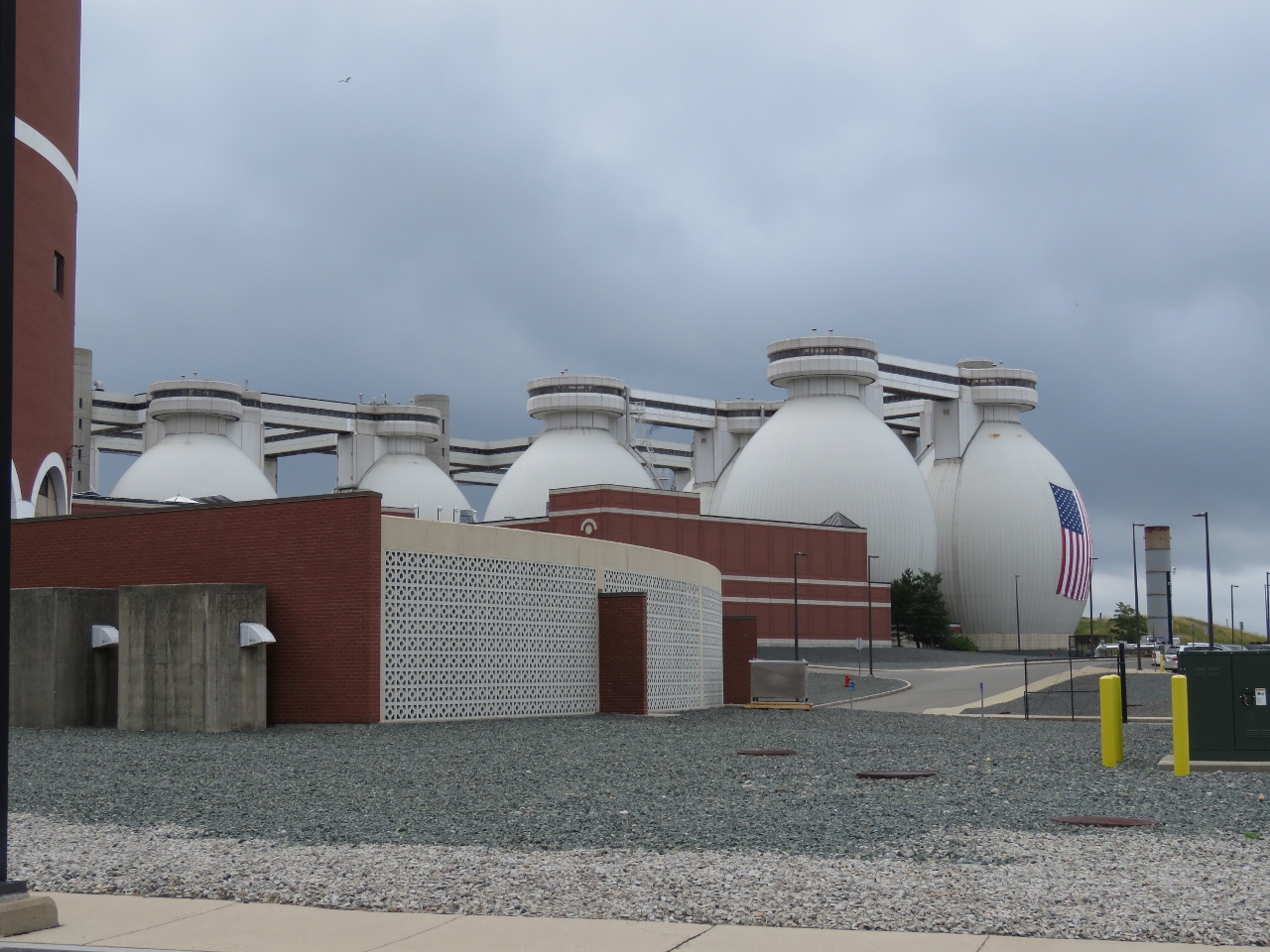 |
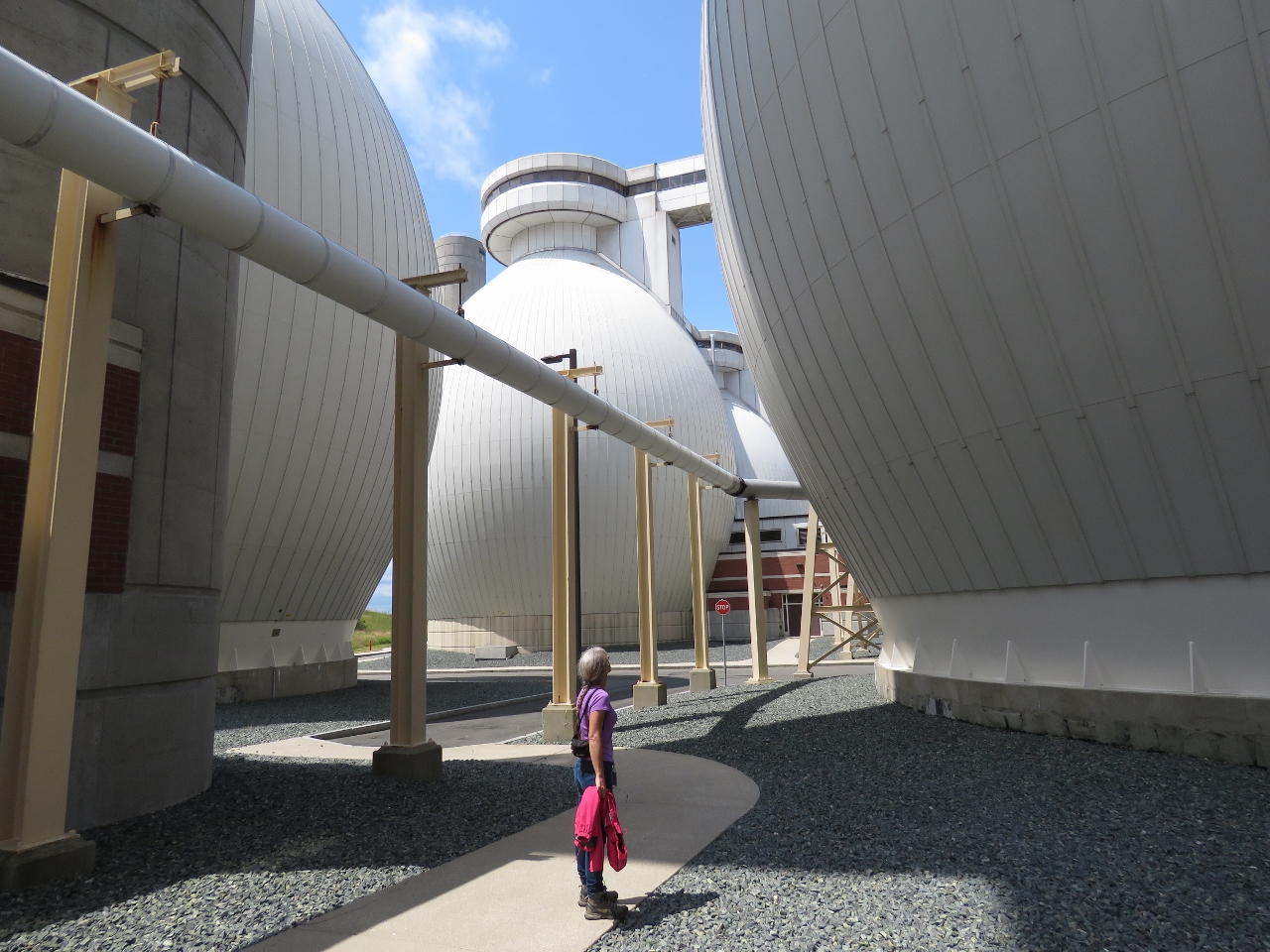
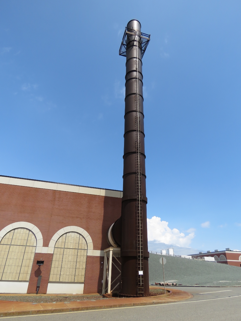
Digesters
Position: -70 57.47, 42 20.91
Sludge separated from wastewater in primary and secondary treatment is pumped into the distinctive egg-shaped digesters, where the fluid is maintained at 98°F. Microorganisms naturally present in the sludge break it down into methane gas, carbon dioxide, solid organic byproducts, and water. The methane gas by-product is used to fuel a steam boiler that produces heat and electricity for the plant. The remaining sludge, which is 94% water, is piped off site, dewatered and turned into fertilizer pellets.
|
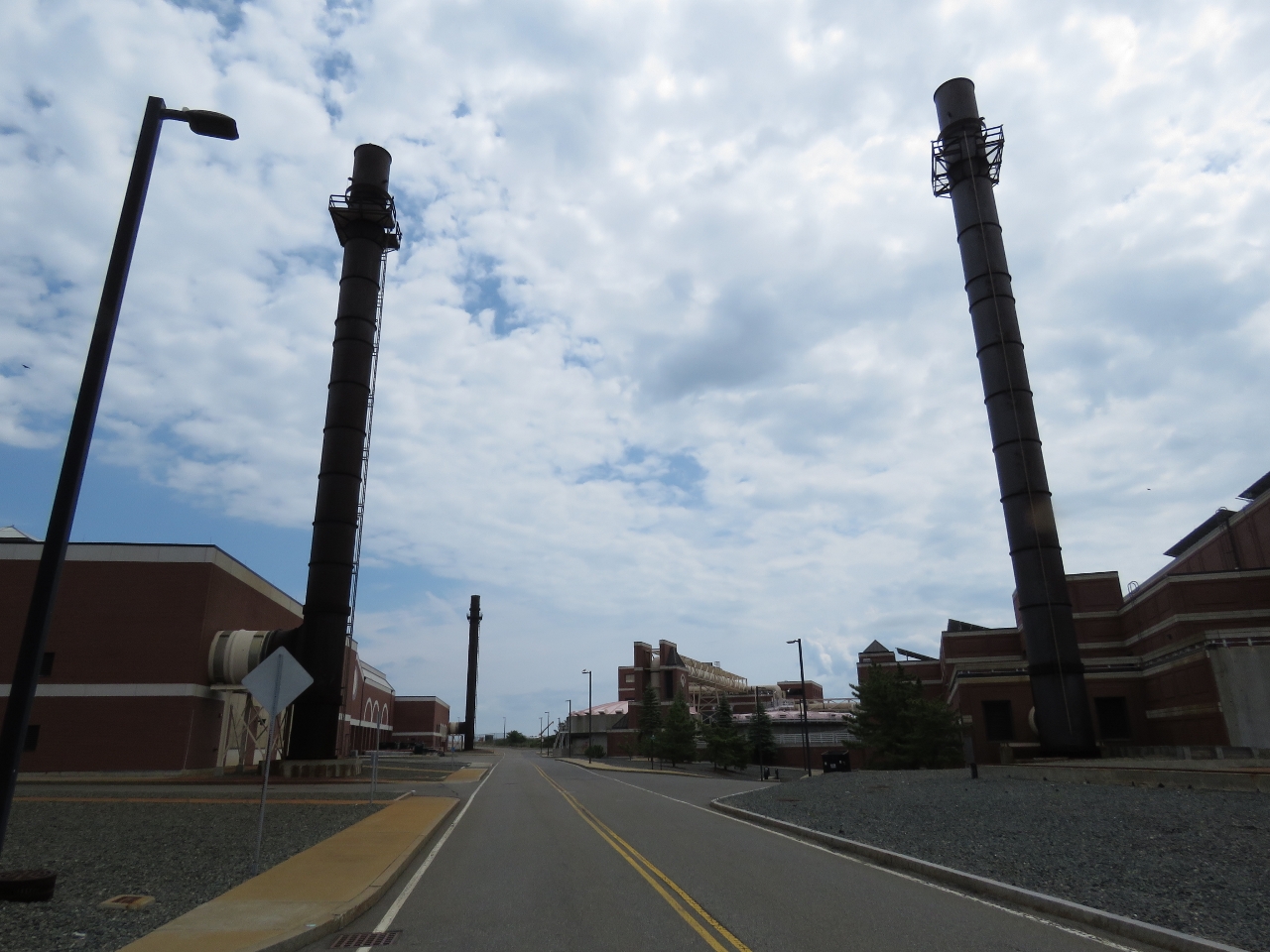 |
Towers
Position: -70 57.41, 42 20.88
Two of several air scrubbers around the facility, used to remove odors and volatile organic compounds from treatment process off-gases. For a sewage treatment plant, the place was surprisingly clean-smelling.
|
|
Under the Digesters
Position: -70 57.37, 42 20.87
Much of the facility is underground. We’d just walked through airport terminal-sized hallways with huge pipes running throughout and stood beneath one of the massive digesters, then exited between the digesters. (Photographs aren’t allowed inside the facility, so we only have pictures from the outside.) The egg shape is more expensive to build, but helps prevent concentrated build-up at the top and bottom of the digesters.
|
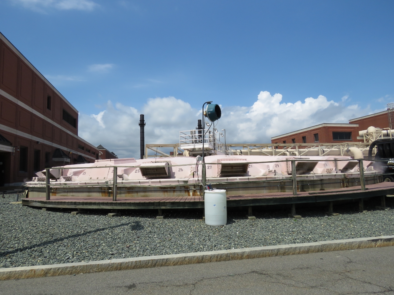 |
Gravity thickeners
Position: -70 57.26, 42 20.88
Sludge and scum from primary treatment are thickened in gravity thickeners prior to transfer to the egg-shaped digesters.
|
 |
Tower
Position: -70 57.27, 42 20.95
Another air scrubbing tower near the eastern end of the plant. Many of the plants buildings are new, but look historic as part of a requirement to blend in with the historic pumping station.
|
 |
Cryogenic Plant
Position: -70 57.26, 42 20.99
Over one hundred tons of pure oxygen are manufactured each day at Deer Island’s cryogenic plant to support the biological treatment process.
|
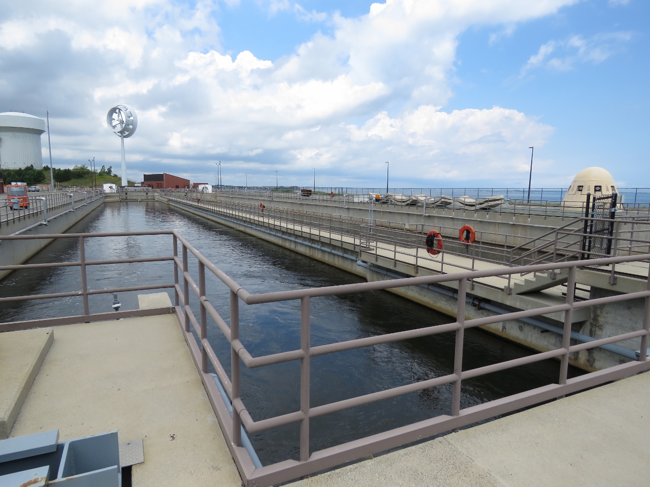 |
Disinfection Basin
Position: -70 57.39, 42 21.15
We walked over the secondary reactors, one of the few places where an odor was apparent, and over to one of two 4-million gallon 500-ft long disinfection basins at the northeast corner of the plant. Here wastewater is disinfected with sodium hypochlorite to kill bacteria. Sodium bisulfite is then added to dechlorinate the water, at which point the effluent is ready to be discharged.
|
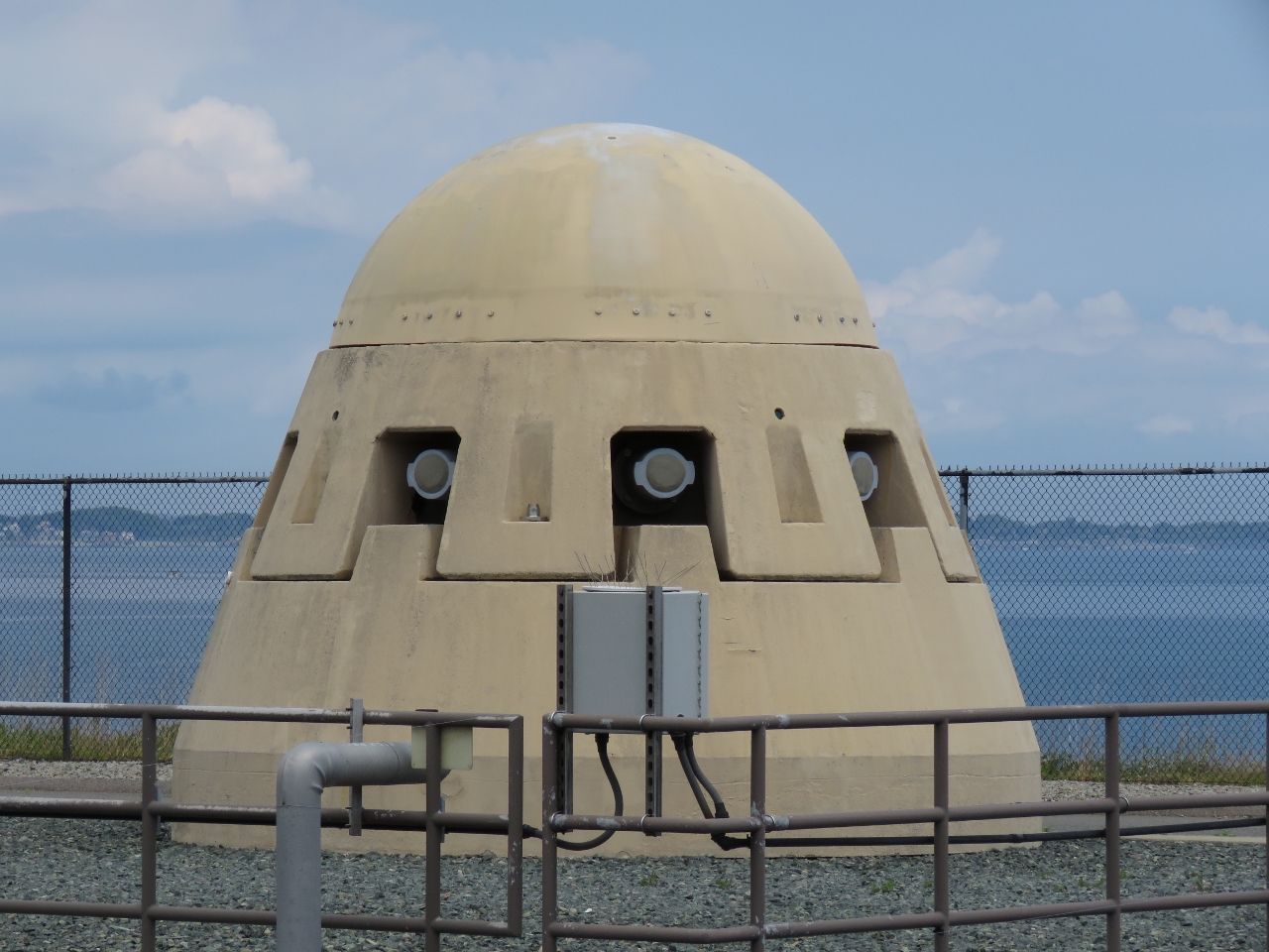 |
Diffuser
Position: -70 57.38, 42 21.15
A 9.5-mile 24-foot-diameter outfall tunnel transports effluent from the disinfection basins into 100-foot deep waters of Massachusetts Bay where it is discharged through more than 50 individual diffusers such as the one pictured. Each diffuser has eight small ports, so that rapid and thorough mixing into surrounding water is achieved.
|
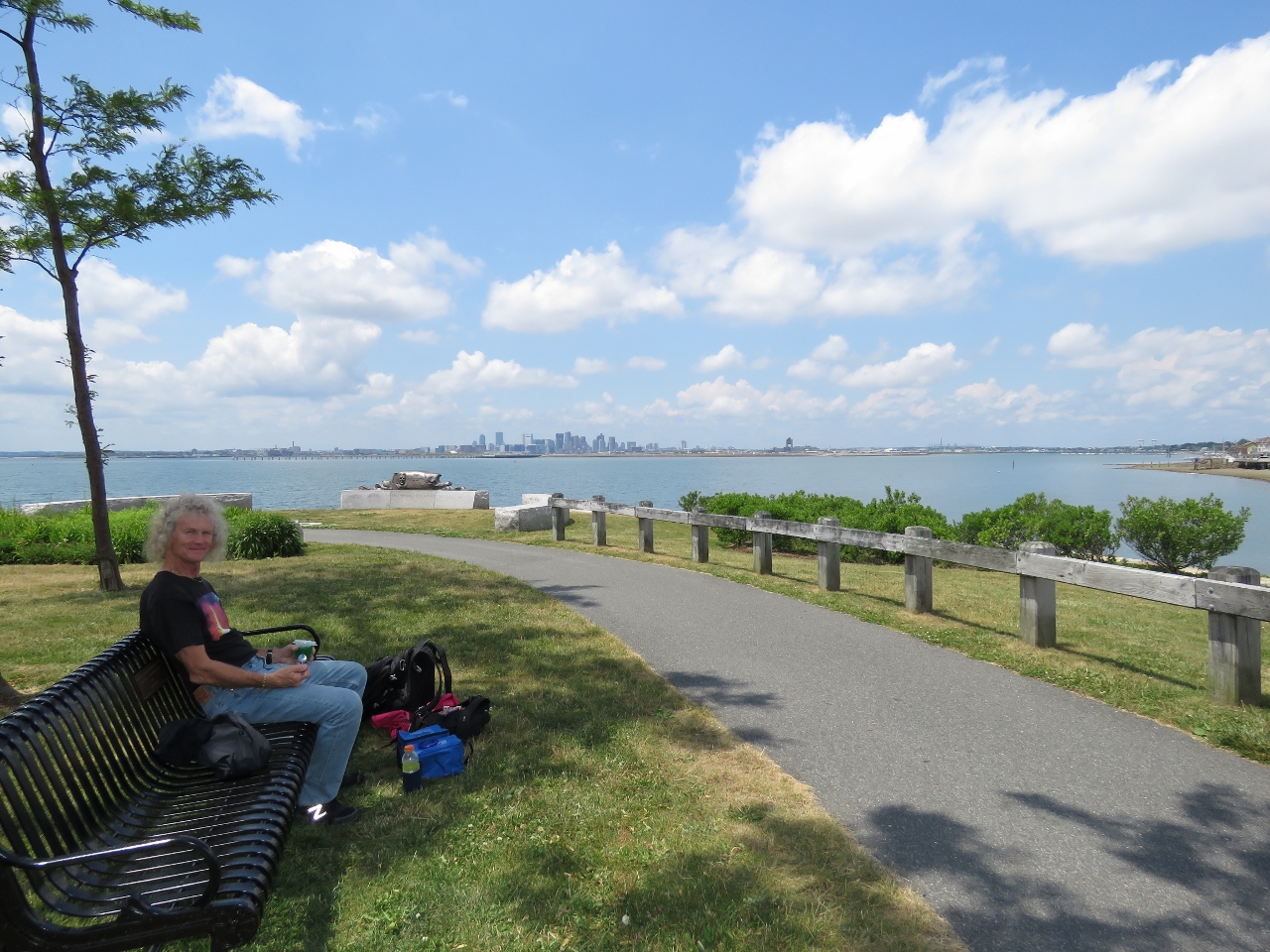 |
Lunch
Position: -70 58.10, 42 21.29
Lunch overlooking Boston Harbor and Logan Airport following our tour.
|
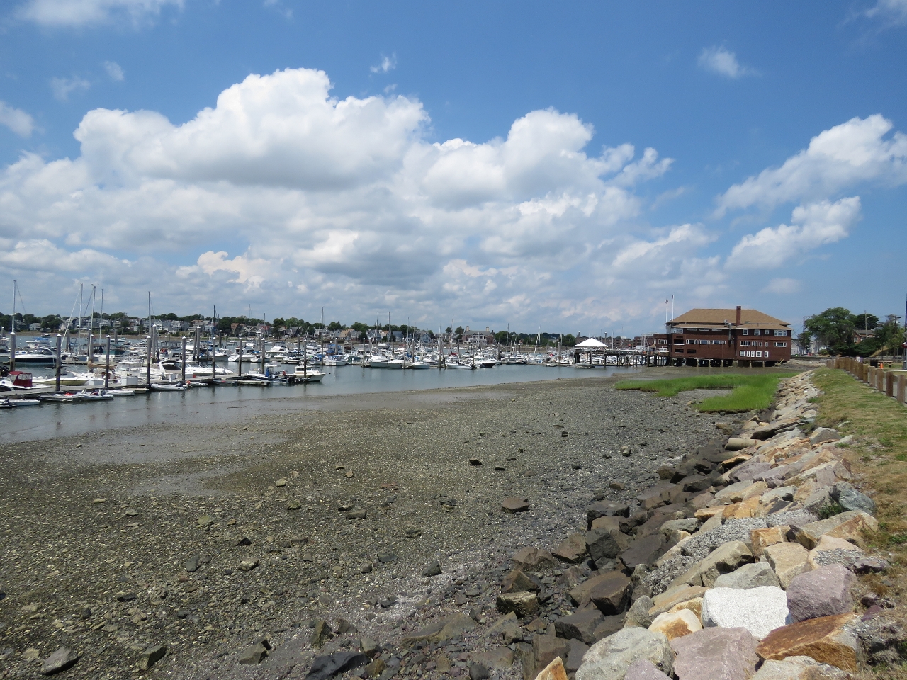 |
Winthrop
Position: -70 58.34, 42 22.00
We made a brief stop at the harbor in Winthrop on our way home for a good view of the landing path into Boston’s Logan Airport.
|
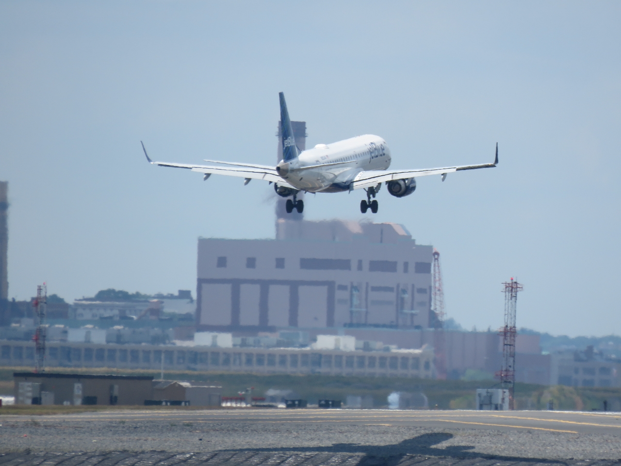 |
JetBlue
Position: -70 58.34, 42 22.00
A JetBlue fight landing at Logan Airport.
|
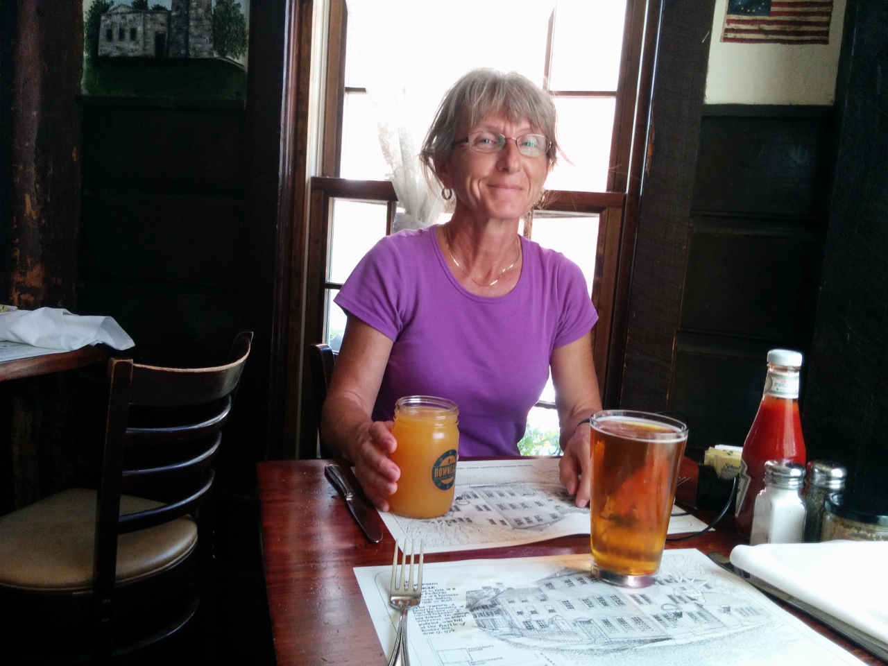 |
Warren Tavern
Position: -71 3.79, 42 22.45
We’d taken a Zipcar to Deer Island and the drop-off point was close to historic Warren Tavern so we stopped in for a drink on the way home.
|
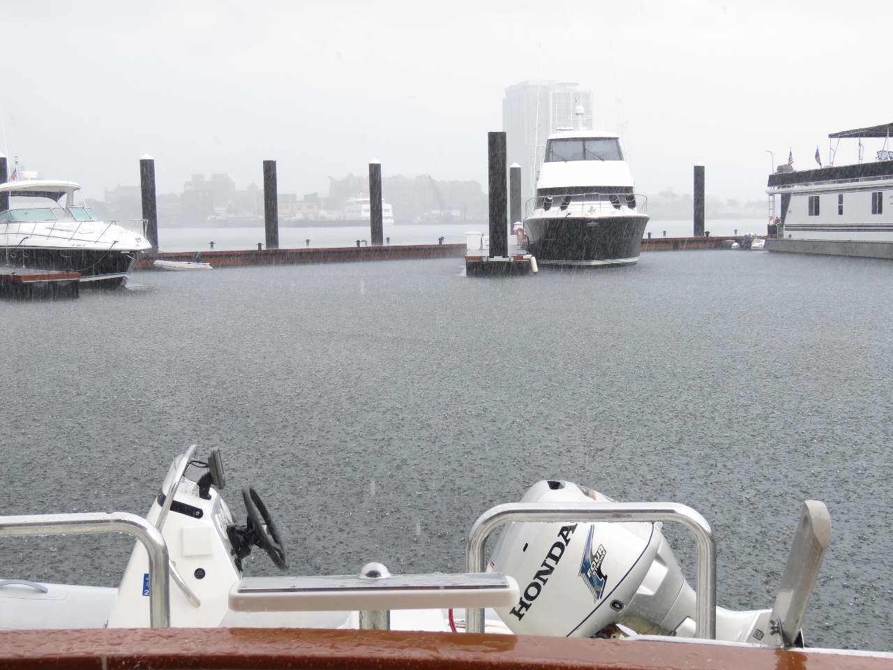 |
Rain
Position: -71 2.90, 42 22.52
We got home in time to avoid a soaking in a major downpour.
|
 |
Click the travel log icon on the left to see these locations on a map, with the complete log of our cruise.
On the map page, clicking on a camera or text icon will display a picture and/or log entry for that location, and clicking on the smaller icons along the route will display latitude, longitude and other navigation data for that location. And a live map of our current route and most recent log entries always is available at http://mvdirona.com/maps. |
If your comment doesn't show up right away, send us email and we'll dredge it out of the spam filter.