We didn’t require much preparation for our run across the North Sea from Stavanager, Norway to Denmark. All we really wanted was fuel and some good weather. We got the fuel soon after arriving, but not the weather. A major storm system passed through, bringing strong northerly winds and generating large waves in the north-exposed harbour. Conditions at sea were still rough a day later, but calm enough in the harbour to go for a tender tour and check out some of the impressive ships moored in the area.
Below are trip highlights from October 2nd and 3rd in Stavanger, Norway. Click any image for a larger view, or click the position to view the location on a map. And a live map of our current route and most recent log entries always is available at mvdirona.com/maps
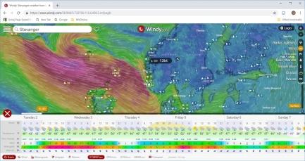 |
Forecast
Position: 58°58.26’N, 5°43.82’E
The forecast doesn’t look great for a crossing to Denmark during the week, but the weekend looks promising.
|
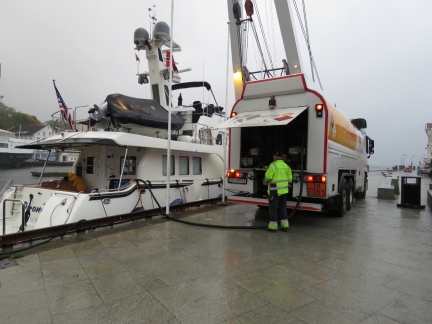 |
Fueling
Position: 58°58.26’N, 5°43.82’E
Bunker Oil delivered 1,193 gallons (4,518 L) of diesel this morning. This is our second fill in Norway—the previous was at Tromso. We still had 557 gallons (2,1083L) left, but pricing in Norway was better than Denmark, our next port-of-call, so we filled up here.
|
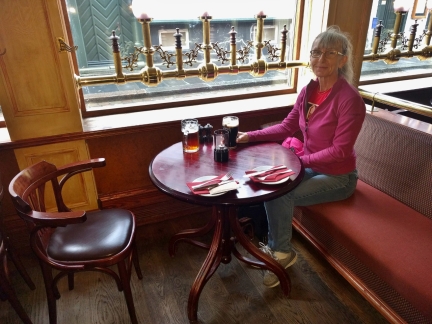 |
Phileas Fogg
Position: 58°58.30’N, 5°43.84’E
An enjoyable lunch streetside at Phileas Fogg. The pub is named after the main character in Jules Verne’s novel Around the World in Eight Days and is full of 19th-century steamship memorabilia. Jennifer is having a pint of Murphy’s stout, something we’ve not seen on tap since leaving southwest Ireland.
|
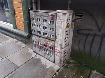 |
Street Art
Position: 58°58.30’N, 5°43.84’E
We’d seen a photograph of this street art and were delighted to notice it outside the window across from the Phileas Fogg pub.
|
 |
Follow-up Lever
Position: 58°58.25’N, 5°43.82’E
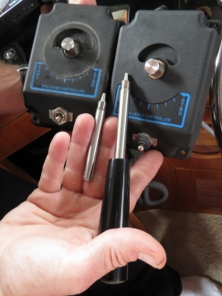
When we hand-streer the boat for close-quarters operation it’s always on the follow-up lever. The wheel is there only as an emergency backup. A couple of times during the Lysefjord trip it would not turn to starboard so we replaced it with a spare. This was made more complicated by the fact that we’ve shortened and machined down the lever itself (left), and increased its range of motion (allowing more rudder angle). We replaced the follow-up lever, used the old, shortened handle, and carefully opened up the range of motion using a Dremel.
|
 |
Barometer
Position: 58°58.26’N, 5°43.82’E
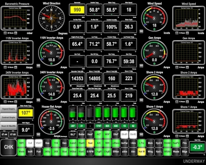
The barometer has plunged in the past 24 hours and the winds are picking up as the storm arrives.
|
 |
Waves
Position: 58°58.26’N, 5°43.82’E
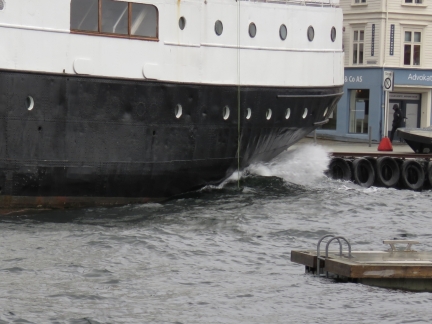
Stavanger harbour is exposed to the north, where the winds and waves are coming from. 3-5ft waves are sweeping down into the harbour and cracking against the stern of Rogaland moored on the opposite side from us. We’re glad Tronds Lift 7 returned and gave us a bit of shelter.
|
 |
Rough
Position: 58°58.26’N, 5°43.82’E
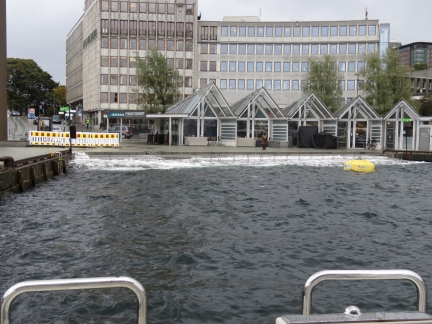
Waves are continually washing over the steps at the head of the harbour.
|
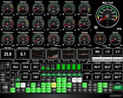 |
Boat Motion
Position: 58°58.26’N, 5°43.83’E
Conditions have settled now, but at the height of the storm we were rolling up to 4.8 degrees and pitching 1.2 degrees. This is why the Boreviga i Stavanger is the preferred harbor for pleasure craft—it has better protection from northerly winds. Lighter boats would really be tossing here in the conditions we just saw. But we really like the spot right downtown and it was a convenient place to fuel.
|
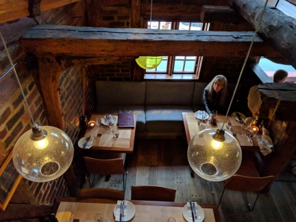 |
Skagen
Position: 58°58.26’N, 5°43.85’E
An exceptional dinner at Skagen, in an early 18th-century building steps from Dirona.
|
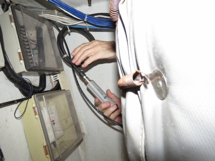 |
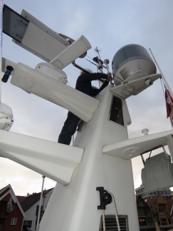
Ubiquity Bullet
Position: 58°58.26’N, 5°43.82’E
We’ve been having troubles recently with reception on the Ubiquity Bullet that we use for WiFi. It’s mounted inside the stack with an external antenna on top. Here James is attaching a test antenna.
|
 |
Wifi Antenna
Position: 58°58.26’N, 5°43.82’E
The test antenna got much better reception, so we replaced the WiFi antenna atop the stack with a spare. No wonder it was struggling—it was full of water.
|
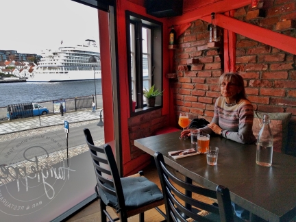 |
Harry Peppers
Position: 58°58.35’N, 5°43.81’E
An excellent lunch at Harry Peppers Mexican restaurant overlooking the harbour.
|
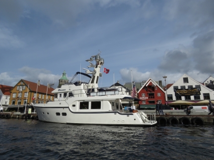 |
Dirona
Position: 58°58.25’N, 5°43.83’E
Looking back to Dirona moored at Stavanger on a tender tour of the area.
|
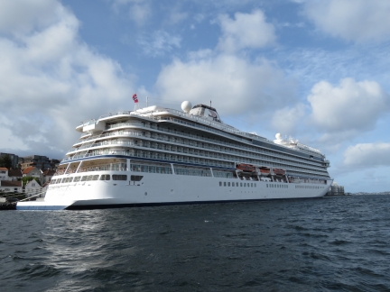 |
Viking Sun
Position: 58°58.34’N, 5°43.73’E
The Bergen-based cruise ship Viking Sun arrived into Stavanger this morning.
|
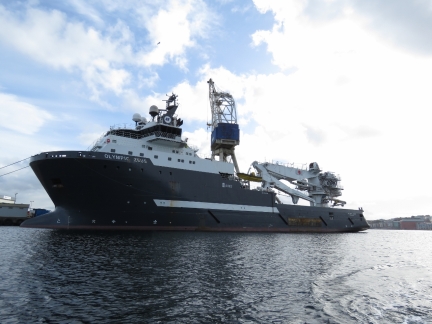 |
Olympic Zeus
Position: 58°59.07’N, 5°43.45’E
The anchor handling tug supply ship Olympic Zeus moored in Stavanger.
|
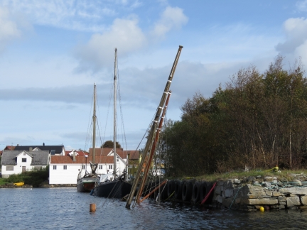 |
Sunk Boat
Position: 58°58.92’N, 5°44.00’E
Tiny Knudaskjeret is ringed with boats, one of which is sunk.
|
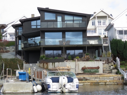 |
House
Position: 58°59.49’N, 5°44.02’E
Beautiful house overlooking Galeivagen north of Stavanger.
|
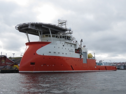 |
Despina
Position: 58°58.41’N, 5°44.76’E
Another another X-Bow ship, the offshore support vessel Despina, at near the ferry docks at Stavanger. The crew were taking on supplies craned down to the open hatch mid-way along the port side.
|
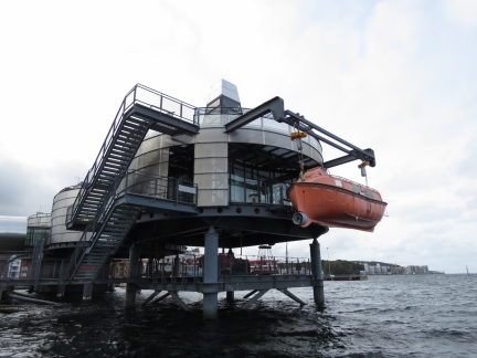 |
Liferaft
Position: 58°58.43’N, 5°44.15’E
Liferaft on display at the Norwegian Oil Museum.
|
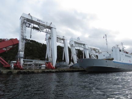 |
Cranes
Position: 58°58.72’N, 5°44.39’E
Stored deck cranes, likely from offshore supply vessels.
|
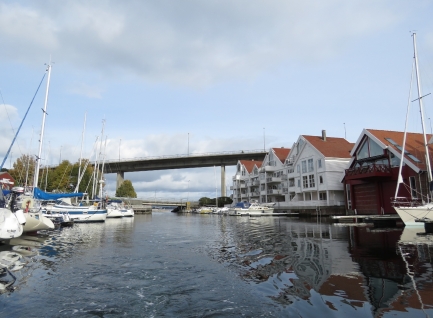 |
Grasholmsundet
Position: 58°58.60’N, 5°44.68’E
Passing through boat-filled Grasholmsundet between the islands of Grasholmen and Solyst.
|
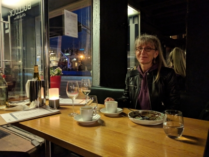 |
Bullock
Position: 58°58.26’N, 5°43.82’E
We an an exceptional tapas meal at Bullock, followed by an equally delicious chocolate dessert.
|
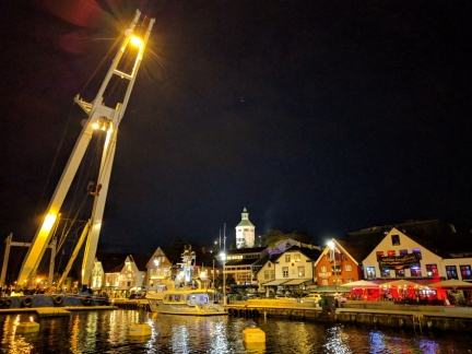 |
Evening
Position: 58°58.26’N, 5°43.82’E
Stavanger harbour aglow at night.
|

|
Click the travel log icon on the left to see these locations on a map, with the complete log of our cruise.
On the map page, clicking on a camera or text icon will display a picture and/or log entry for that location, and clicking on the smaller icons along the route will display latitude, longitude and other navigation data for that location. And a live map of our current route and most recent log entries always is available at mvdirona.com/maps. |

If your comment doesn't show up right away, send us email and we'll dredge it out of the spam filter.