Starting September 2, the Hurtigruten coastal ferries switch from their summer run to Geirangerfjord to a cruise down Hjorundfjord. On the first day of that switch we were excited to see “our ‘Gruten” the Kong Harald appear at the mouth of Norangsfjorden, an arm of Hjorundfjord. (This is the ship we travelled on from Kirkeness to Tromso in late June.) We ran the tender out to take a look, and later made a trip to view the dramatic scenery at the head of Hjorundfjord.
Below are trip highlights from September 1st and 2nd in Hjorundfjord, Norway. Click any image for a larger view, or click the position to view the location on a map. And a live map of our current route and most recent log entries always is available at mvdirona.com/maps
 |
Stad
Position: 62°11.69’N, 6°38.87’E
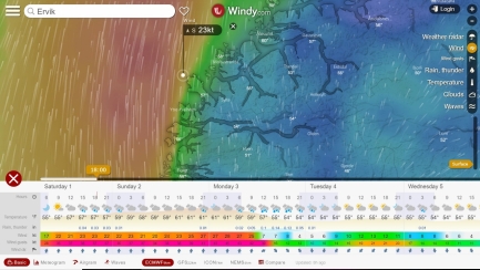
We’ve been watching the weather for a good time to round the infamous headland Stad. Conditions there can be so dangerous that an escort service is provided for small boats and funds have been approved to build the world’s first full-scale ship tunnel through the headland. The winds are looking pretty high for the next few days, but it looks like we might be able to round early on Tuesday, three nights from now.
|
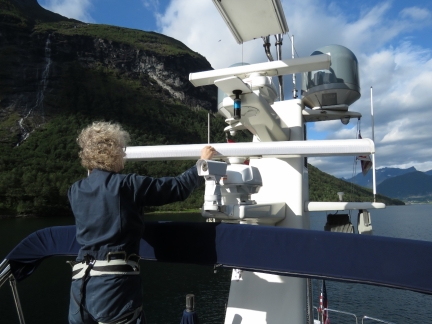 |
Reflective Tape
Position: 62°11.69’N, 6°38.83’E
We’ve noticed that in heavy fog and other conditions of restricted visibility the first we see of another boat often is the reflection from the moving open array RADAR. So we decided to put reflective tape on the back side of our open arrays. The rotating RADAR antenna will catch any ambient light and a moving reflection catches attention effectively.
|
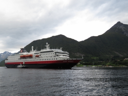 |
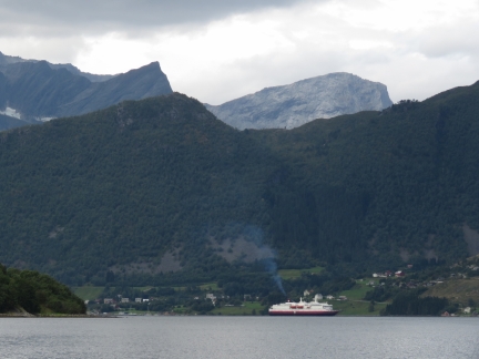
Our ‘Gruten
Position: 62°12.40’N, 6°34.68’E
“Our ‘Gruten” the Kong Harald at the mouth of Norangsfjorden.
|
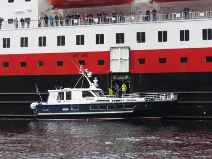 |
Disembarking
Position: 62°12.40’N, 6°34.68’E
Shortly after the Kong Harald arrived, the Hjorundfjord moored alongside and began taking on passengers.
|
 |
Kong Harald
Position: 62°11.69’N, 6°38.83’E
Once the first load had set off for shore, the Kong Harald anchored a short distance up Norangsfjorden and stayed there for several hours while passengers disembarked or just enjoyed the view from on board. The 13m bar just east of their anchorage likely blocks the ships from travelling all the way to the head of Norangsfjorden.
|
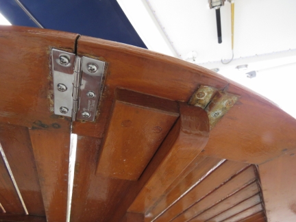 |
Replacement Hinge
Position: 62°11.70’N, 6°38.87’E
One of the hinges on our folding teak patio table corroded and broke a few weeks ago. We replaced it with a stainless steel one brought back from Seattle.
|
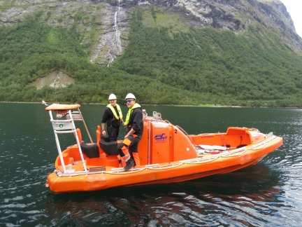 |
Utility Boat
Position: 62°11.70’N, 6°38.85’E
A utility boat from the Kong Harald was at the head of Norangsfjorden on a training exercise and the crew stopped by to say hello.
|
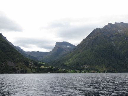 |
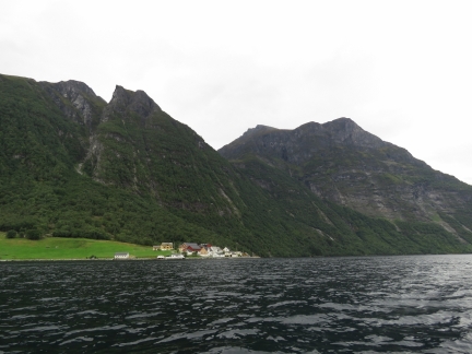
Viddal
Position: 62°8.31’N, 6°35.01’E
Out on a tender tour of of the area, this is the view to the village Viddal nestled beneath high mountains along the east shore of Hjorundfjord.
|
 |
Kjerringkjeftane
Position: 62°6.60’N, 6°33.31’E
3,372ft (1,028m) Kjerringkjeftane soaring above the village of Finnes along the west shore of Hjorundfjord.
|
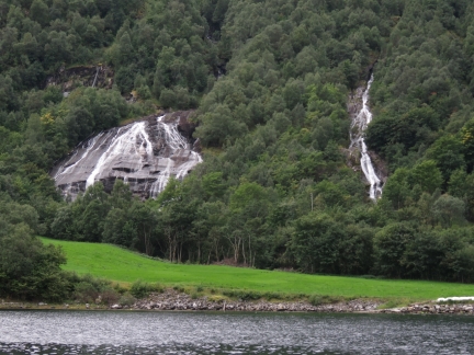 |
Waterfalls
Position: 62°6.54’N, 6°33.41’E
Twin waterfalls near the head of Hjorundfjord.
|
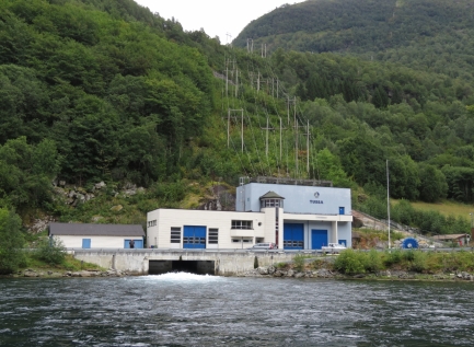 |
Power Station
Position: 62°6.49’N, 6°33.32’E
A high volume of water flowing through the hydorelectic power station at the head of Hjorundfjord.
|
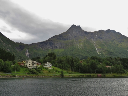 |
Notabreidsta
Position: 62°6.33’N, 6°33.15’E
The village of Notabreidsta at the head of Hjorundfjord. Norway has no shortage of spectacular scenery.
|
 |
Saebovika
Position: 62°12.57’N, 6°29.54’E
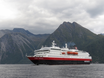
The Hurtigruten Kong Harald made a pass through Saebovika before departing the area.
|
 |
Slogen
Position: 62°11.55’N, 6°38.79’E
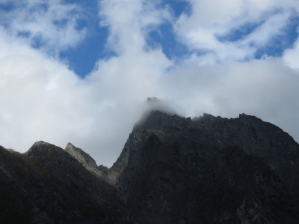
Clouds catching on the summit of Slogen. Looking at it from down here, it’s amazing we were above the bottom of those clouds two days ago.
|

|
Click the travel log icon on the left to see these locations on a map, with the complete log of our cruise.
On the map page, clicking on a camera or text icon will display a picture and/or log entry for that location, and clicking on the smaller icons along the route will display latitude, longitude and other navigation data for that location. And a live map of our current route and most recent log entries always is available at mvdirona.com/maps. |

If your comment doesn't show up right away, send us email and we'll dredge it out of the spam filter.