Dirona crossed the Arctic Circle just north of Træna on an open-ocean run to the famed Lofoten group of islands. Conditions were calm enough to anchor and launch the tender for a picnic lunch at the lighthouse on Skomvær, the southernmost island in the chain. As we continued north to anchor for the night in the Røst group of islands, we got a taste for the dramatic scenery that makes the Lofotens one of the prime cruising grounds in Norway.
Below are trip highlights from May 22, 2018 in the southern Lofoten islands, Norway. Click any image for a larger view, or click the position to view the location on a map. And a live map of our current route and most recent log entries always is available at mvdirona.com/maps
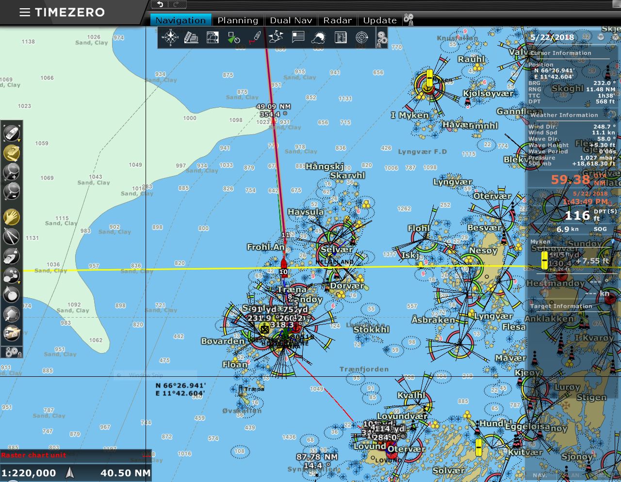 |
Arctic Circle
Position: 12 5.15, 66 33.97
We’ve just crossed the Arctic Circle, the yellow line on our chart, at latitude 66°33’47.2N. We’ll remain north of this point for almost two months until we return back south to Trondheim in July.
|
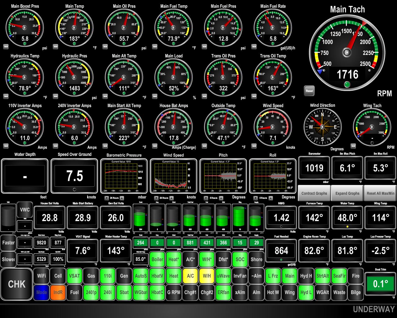 |
Connectivity
Position: 12 3.14, 66 44.39
For the first time since we’ve arrived in Norway we’re out of cellular connectivity for more than a few minutes because we are far offshore. But away from the steep fjords with an unimpeded view to the satellites, our KVH V7hts mini-VSAT is working well.
|
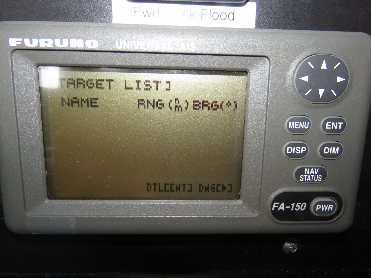 |
AIS Targets
Position: 11 56.87, 67 10.01
Also for the first time since arriving in Norway, we have no AIS targets visible. We’ve always seen something so far.
|
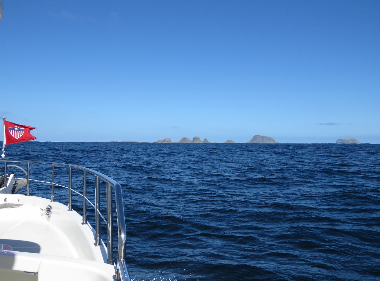 |
Nearing Røst
Position: 11 53.82, 67 22.12
The distinctive peaks of the Røst group of islands, and the lighthouse on Skomvær at left, visible in the distance.
|
 |
Skomvær
Position: 11 52.60, 67 24.46
A temporary anchorage off Skomvær at the southern tip the Lofoten Islands, to run the tender in for lunch at the lighthouse. Even in today’s relatively settled weather a substantial swell is running through the anchorage. We’re glad conditions are calm enough to be able to launch the tender. We wanted to stop at the first island in the chain as we did at Berneray Island at the southern tip of the Outer Hebrides in Scotland.
|
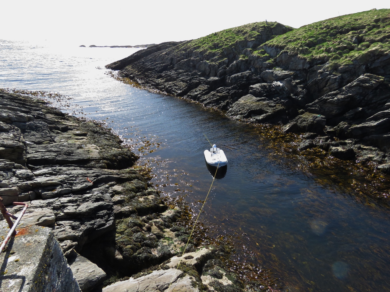 |
Tender
Position: 11 52.27, 67 24.58
The tender moored with bow line to shore and the stern held in place with an Anchor Buddy to keep the swell from tossing it against the shore.
|
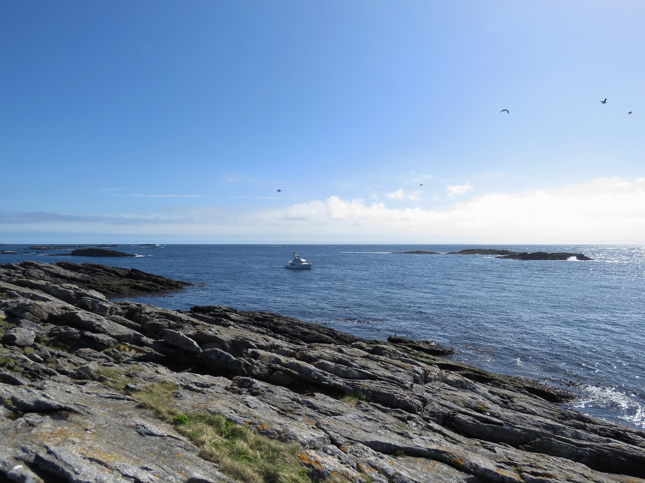 |
Exposed
Position: 11 52.34, 67 24.55
Dirona at anchor off the south side of Skomvær. The anchorage is as exposed as it looks.
|
 |
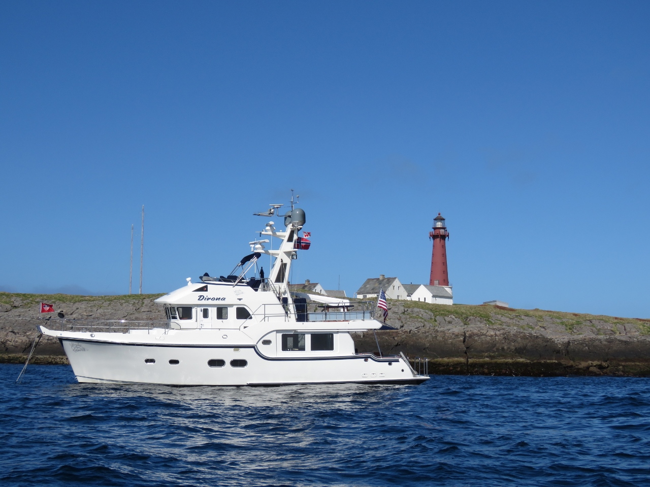
Skomvær Lighthouse
Position: 11 52.43, 67 24.57
The Skomvær Lighthouse was built in 1887, automated in 1978 and closed in 1988.
|
 |
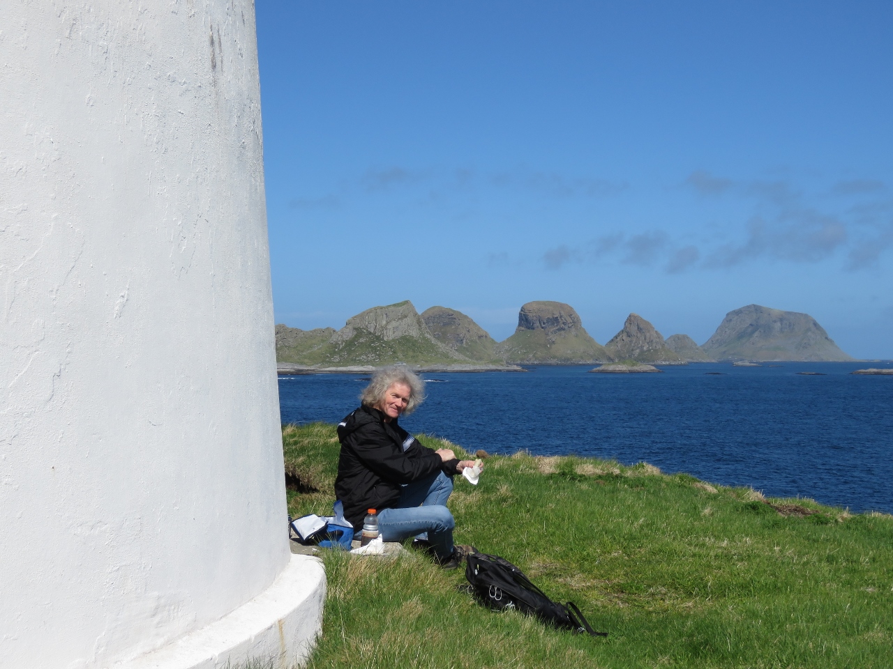
Lunch
Position: 11 52.50, 67 24.65
Lunch at the base of Skomvær Lighthouse with a view north to the unusual peaks of the Røst islands.
|
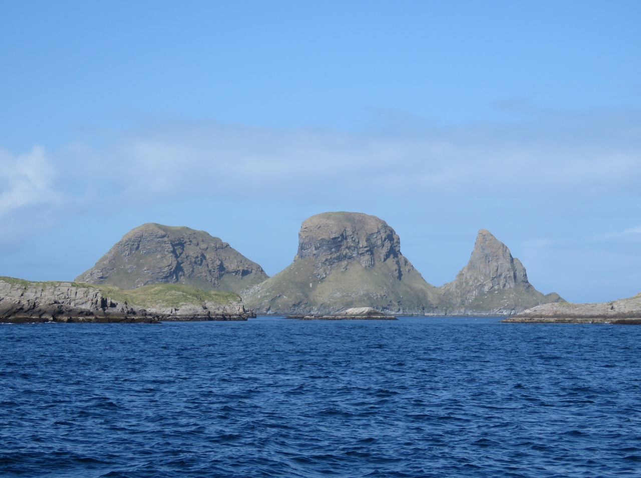 |
Trenyken
Position: 11 53.93, 67 24.77
Triple-peaked Trenyken just north of Skomvær in the Røst group of islands
|
 |
Statue
Position: 12 3.49, 67 30.03
Fish statue at the entrance to Røst Harbour.
|
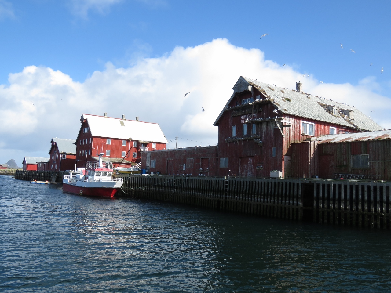 |
Rost Harbour
Position: 12 4.60, 67 30.31
Old commercial buildings along the Røst Harbour packed with nesting Kittiwakes.
|
 |
Cod Drying
Position: 12 4.98, 67 30.46
We were impressed at the size of this cod drying rack. But it turned out to be quite small compared to others we saw later.
|
 |
More Cod Drying
Position: 12 4.98, 67 30.57
Dried cod is a major export from Røst. Racks and racks are everywhere in the village and outskirts.
|
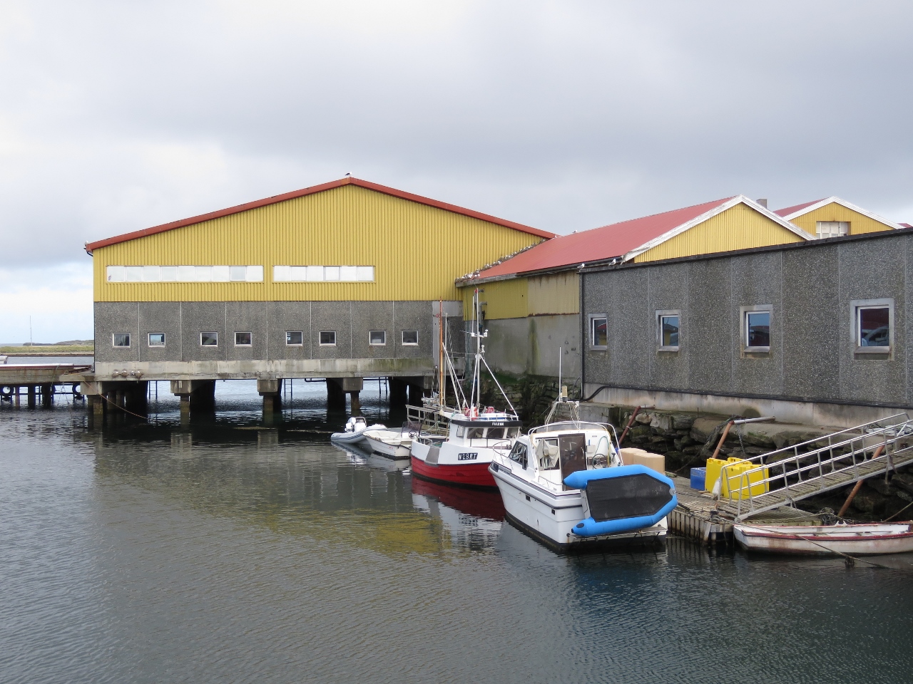 |
Tender Moored
Position: 12 4.88, 67 30.45
The tender moored at Røst for a walk ashore.
|
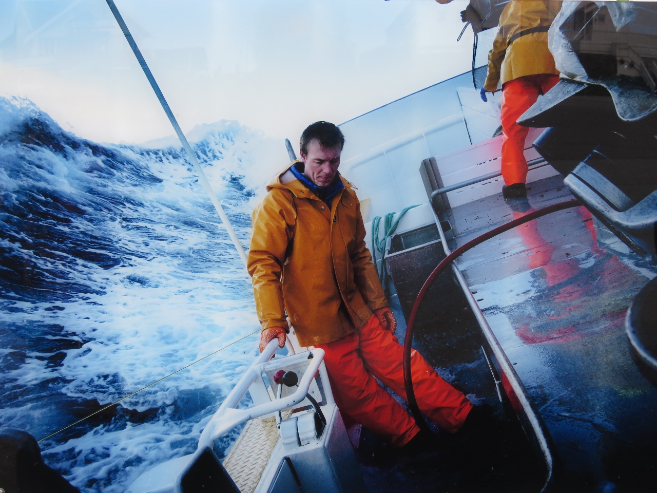 |
Rough Conditions
Position: 12 4.82, 67 30.43
Several outdoor photographs were mounted on a fence at Røst, including this dramatic shot of a fish boat working in very rough conditions.
|
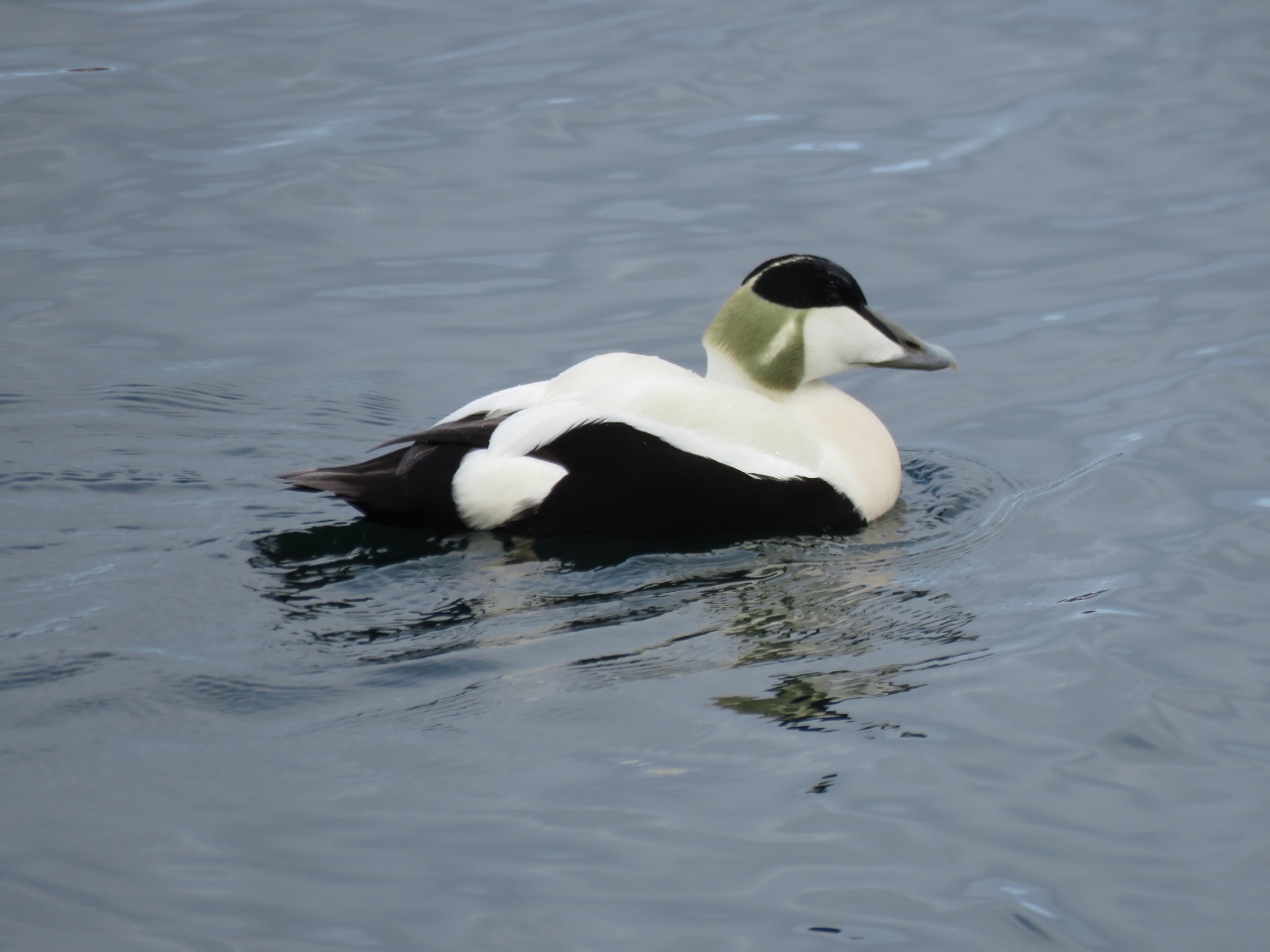 |
Seabird
Position: 12 4.94, 67 30.41
A great-looking seabird off Røst.
|
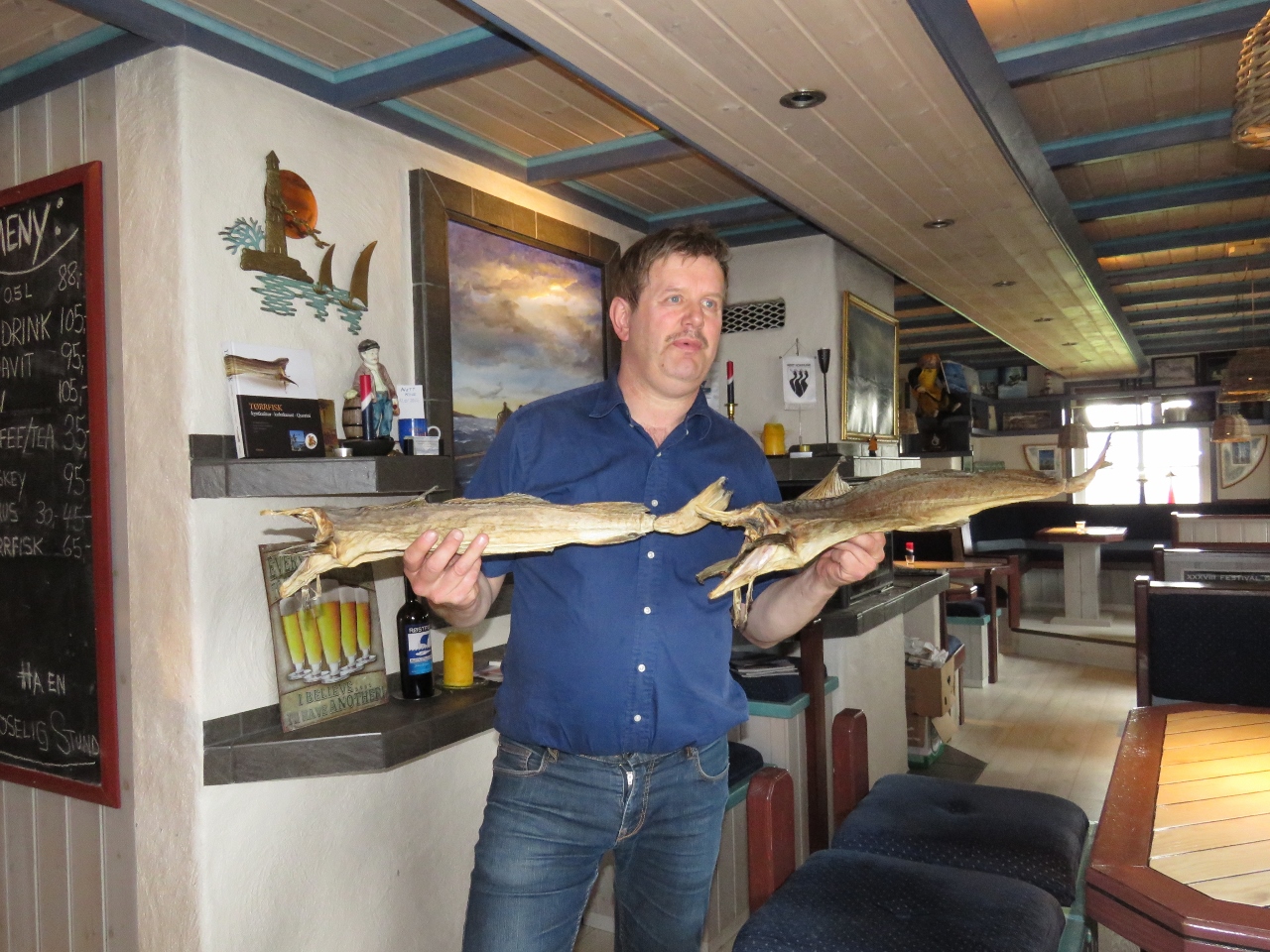 |
Steinar Greger
Position: 12 4.91, 67 30.46
Jonh Greger AS is a third-generation family run business on Røst specializing in stockfish export. Steinar Greger and his two brothers run the business, which also includes the restaurant and bar Skomværkroa. We stopped in for a beer and had a great time with Steinar and one of his brothers learning about the history of Røst and its stockfish.
|
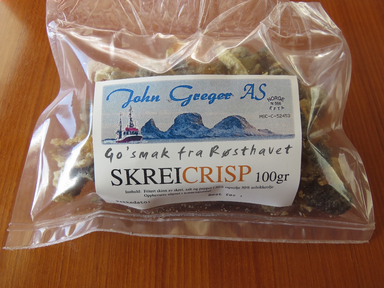 |
Skrie Crisp
Position: 12 4.91, 67 30.46
At Skomværkroa we sampled some Skrie Crisp, fish skins fried in olive oil and seasoned with salt and pepper. They were delicious and we bought two packages to bring back to the boat.
|
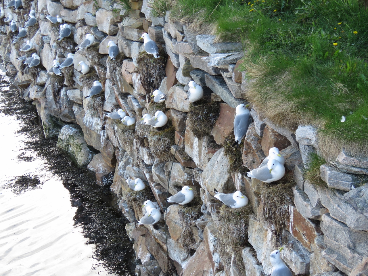 |
Kittiwakes
Position: 12 4.93, 67 30.46
Nesting Kittiwakes in the wall behind Skomværkroa.
|
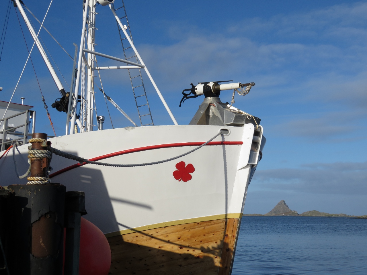 |
Whaler
Position: 12 5.00, 67 30.44
Someone mentioned the whaler moored along the wall and we both assumed they were referring to the Boston Whaler brand of boats. Nope—that’s a harpoon on the bow.
|
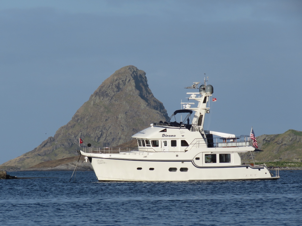 |
At Anchor
Position: 12 4.93, 67 30.38
Dirona anchored at Røst with the 560-ft (140m) peak of Stavøya in the background.
|

|
Click the travel log icon on the left to see these locations on a map, with the complete log of our cruise.
On the map page, clicking on a camera or text icon will display a picture and/or log entry for that location, and clicking on the smaller icons along the route will display latitude, longitude and other navigation data for that location. And a live map of our current route and most recent log entries always is available at mvdirona.com/maps. |
congrats – looks awesome
Norway continues to be incredible. Yesterday we climbed up 4,800′ above a massive glacier for 360 degree views for miles around with the Glacier and our boat way down below.