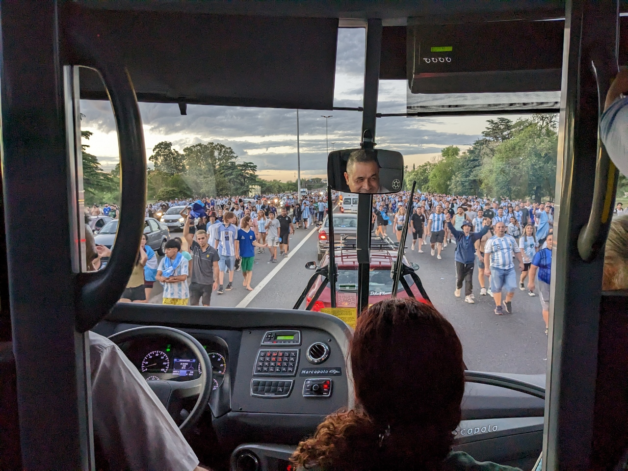
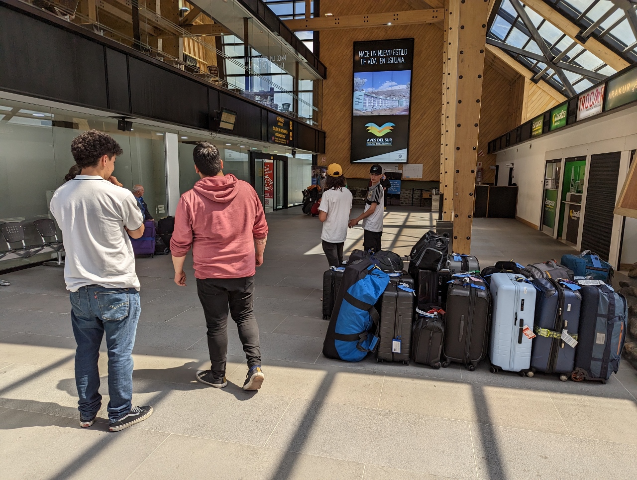
Ushuaia, at the southern tip of Argentina, is the departure point for the majority of Antarctic cruises. Our flight there from Buenos Aires was delayed by the overnight return of the victorious Argentinian World Cup team. Over a million fans had traveled to the airport to greet the players, abandoning their cars and walking when they could proceed no further. The highway to the airport was near completely-blocked plugged with cars and people, and the normally one-hour trip took nearly three. But we made the flight, and it was an memorable experience to be surrounded by throngs of people streaming back to their vehicles.
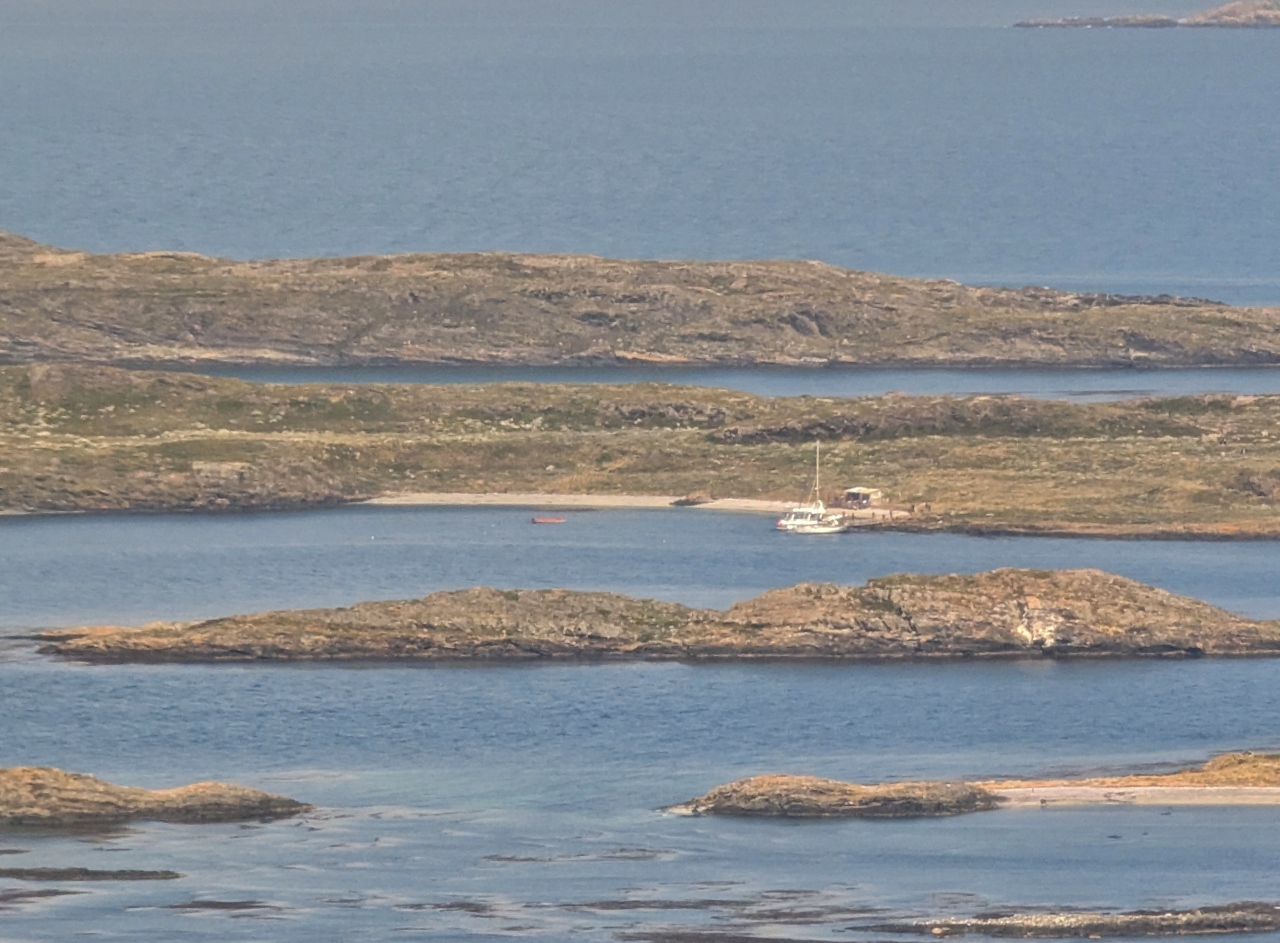
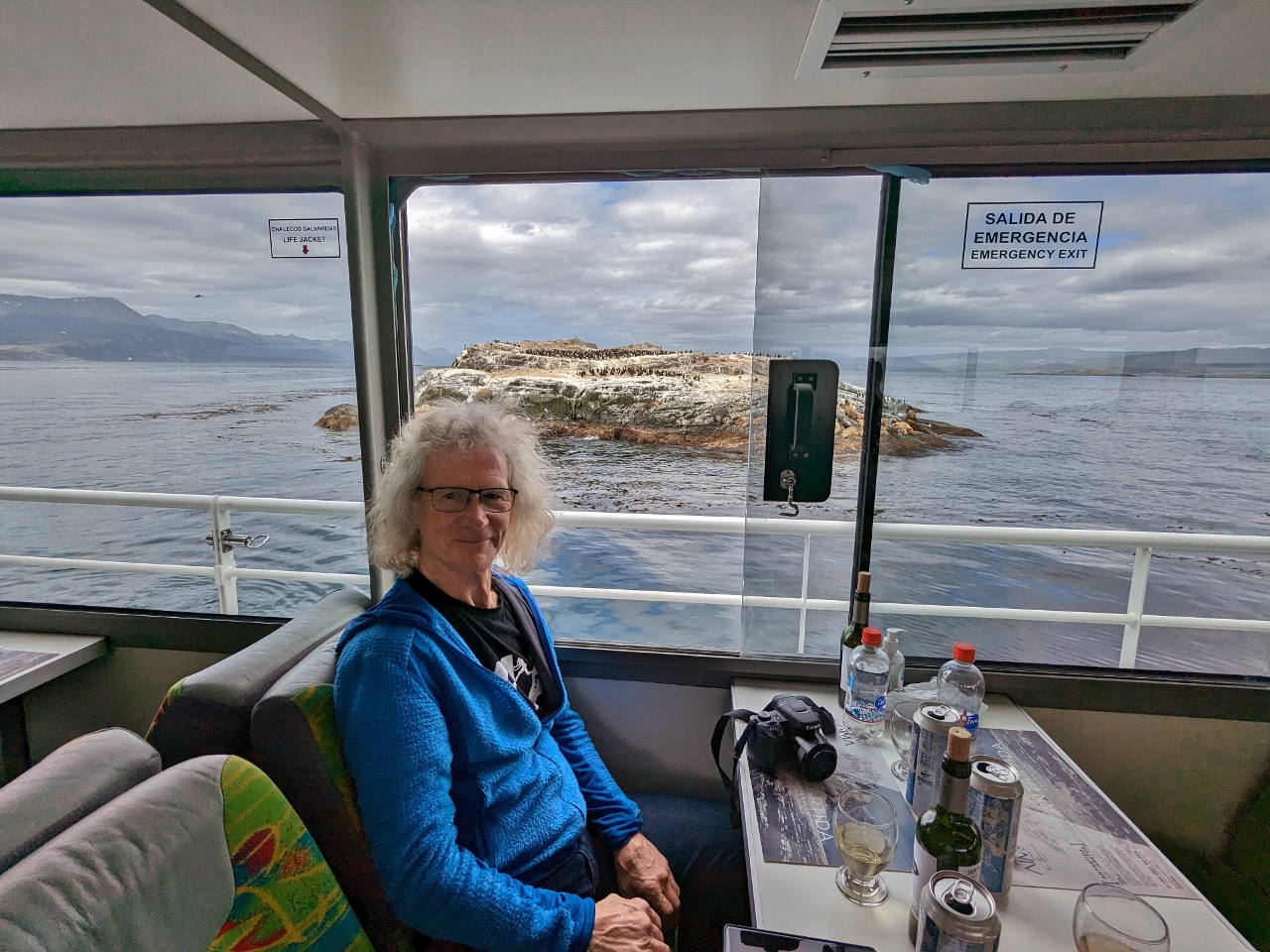
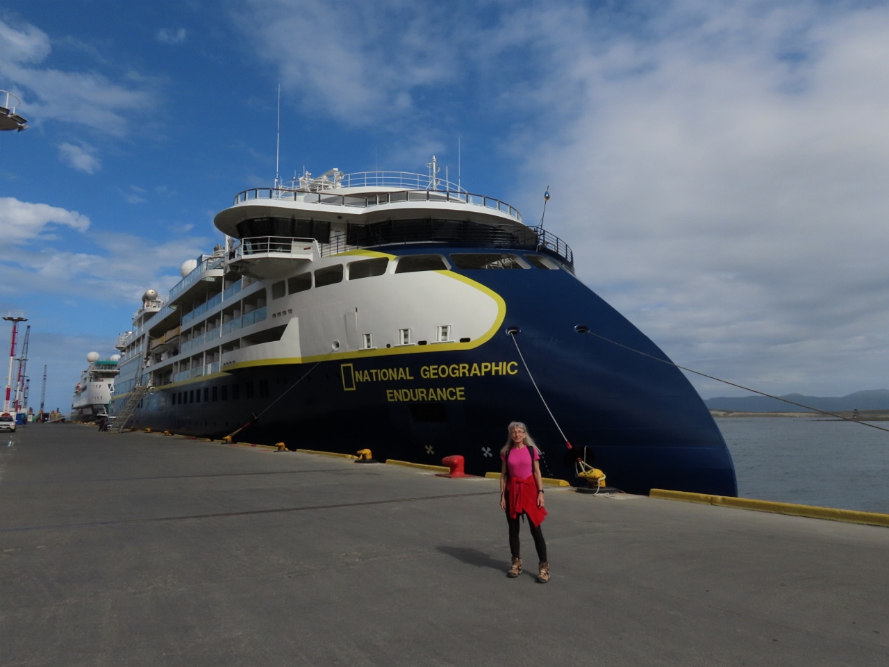
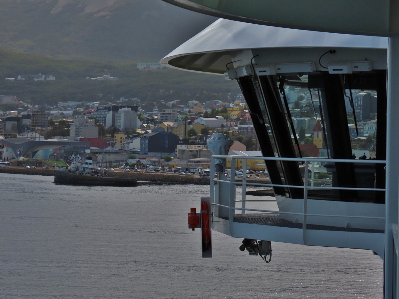
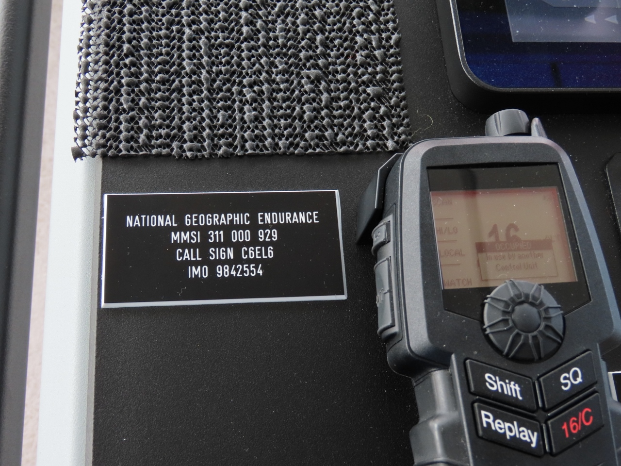
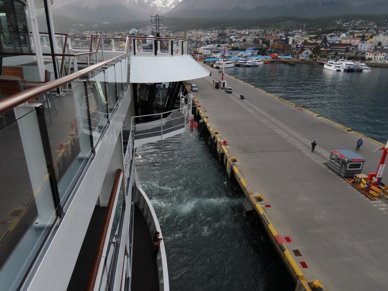
Ushuaia lies on Isla Grande de Tierra del Fuego along the Beagle Channel and beneath the dramatic Martial Mountains. On arrival, we took a short harbor cruise over lunch, then boarded the National Geographic Endurance. That evening, we departed Ushuaia and watched the sun set over the Beagle Channel en route to the infamous Drake Passage and, ultimately, Antarctica.
Below are highlights from December 20th, 2022. Click any image for a larger view, or click the position to view the location on a map. And a map with our most recent log entries always is available at mvdirona.com/maps.
Left: Leaving Buenos Aires for the airport and driving through crowds of World Cup fans streaming back to their cars along the highway. Right: We departed the hotel at 3am and arrived at 6:00am in time for our 7:40am flight. But our flight crew was several hours late and we didn’t actually take off until past 10am.
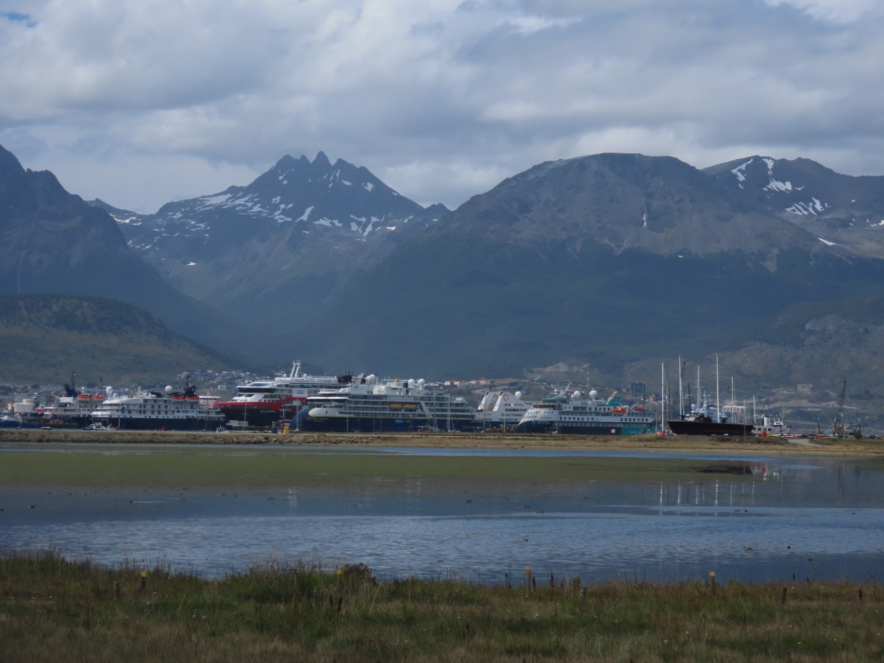
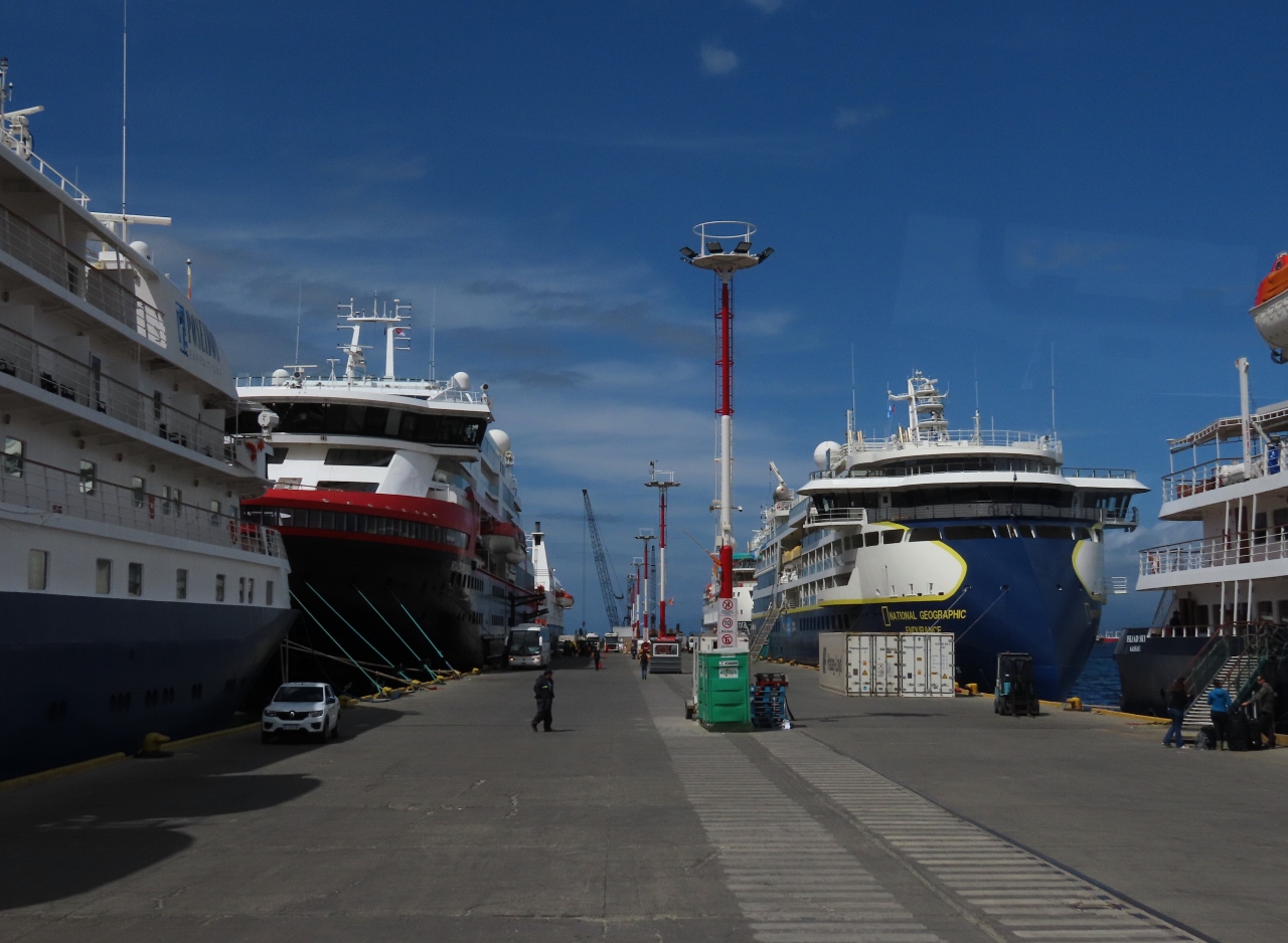
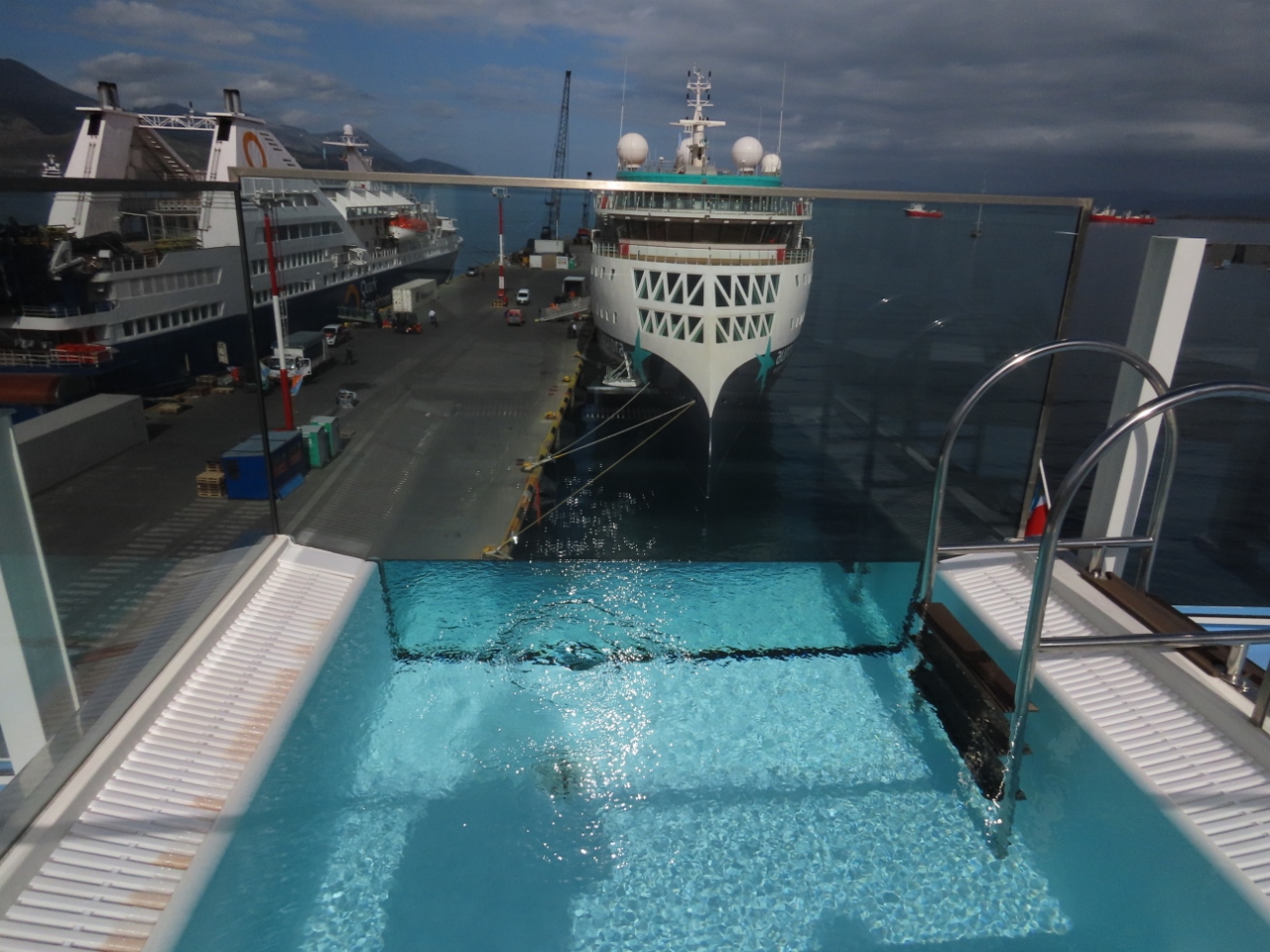
View across Ushuaia harbor to the cruise ship dock and the Martial Mountains en route from the airport. Our ship, the National Geographic Endurance, is at center in the first picture.
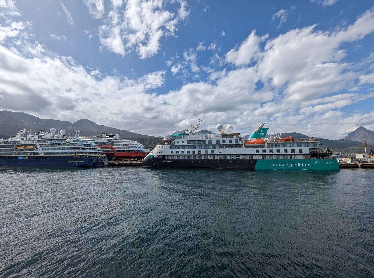
Looking across the harbor to the Martial Mountains, left, and another X-BOW cruise ship, this one Aurora Expedition’s Sylvia Earle, moored behind the Nat Geo Endurance
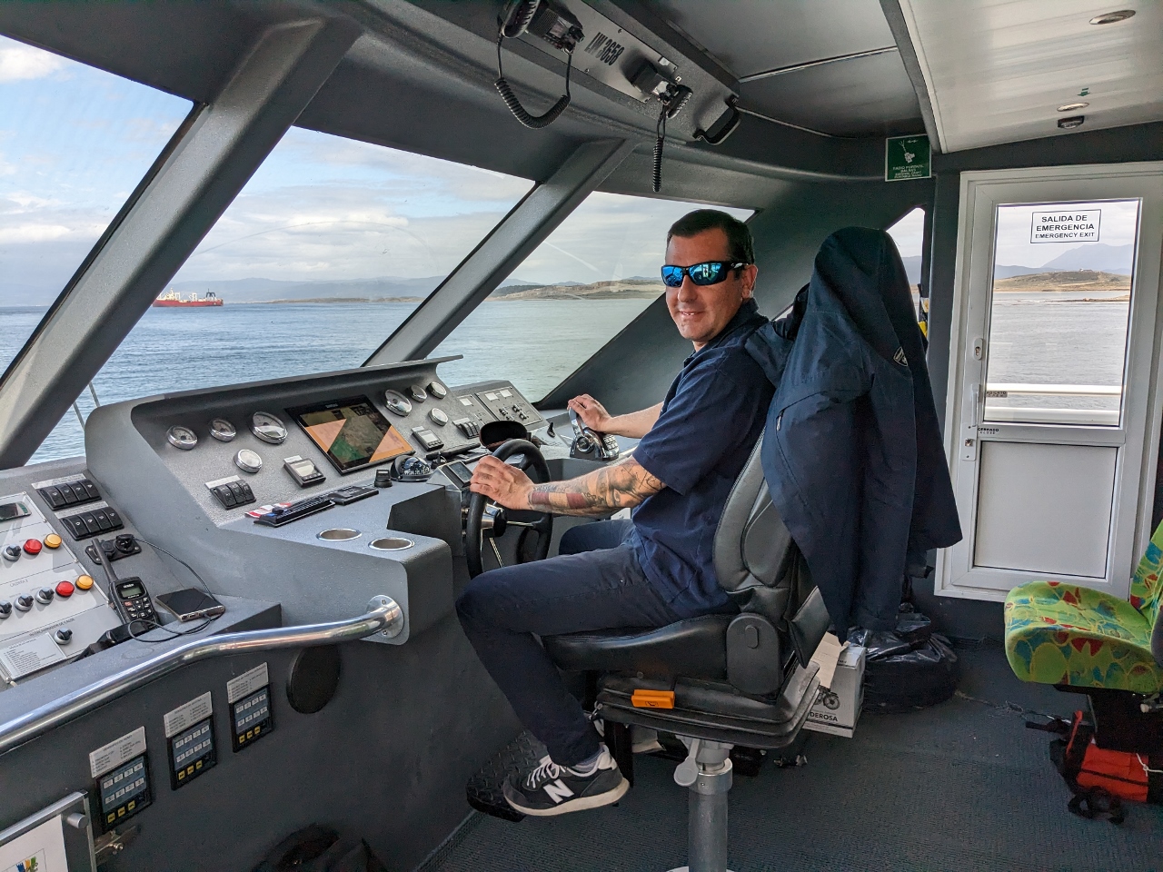
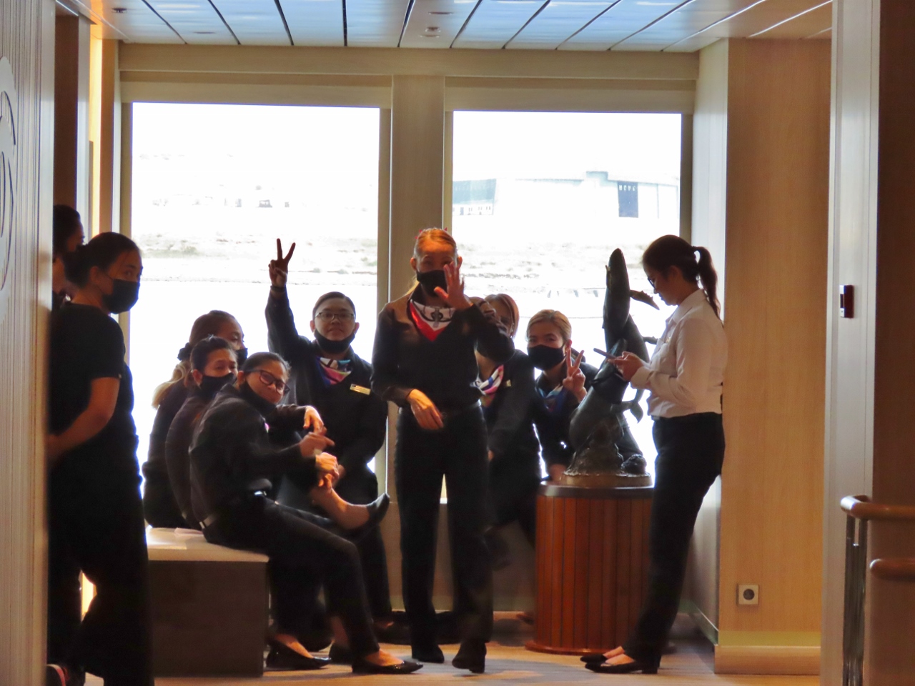
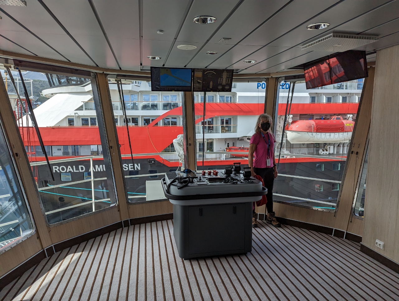
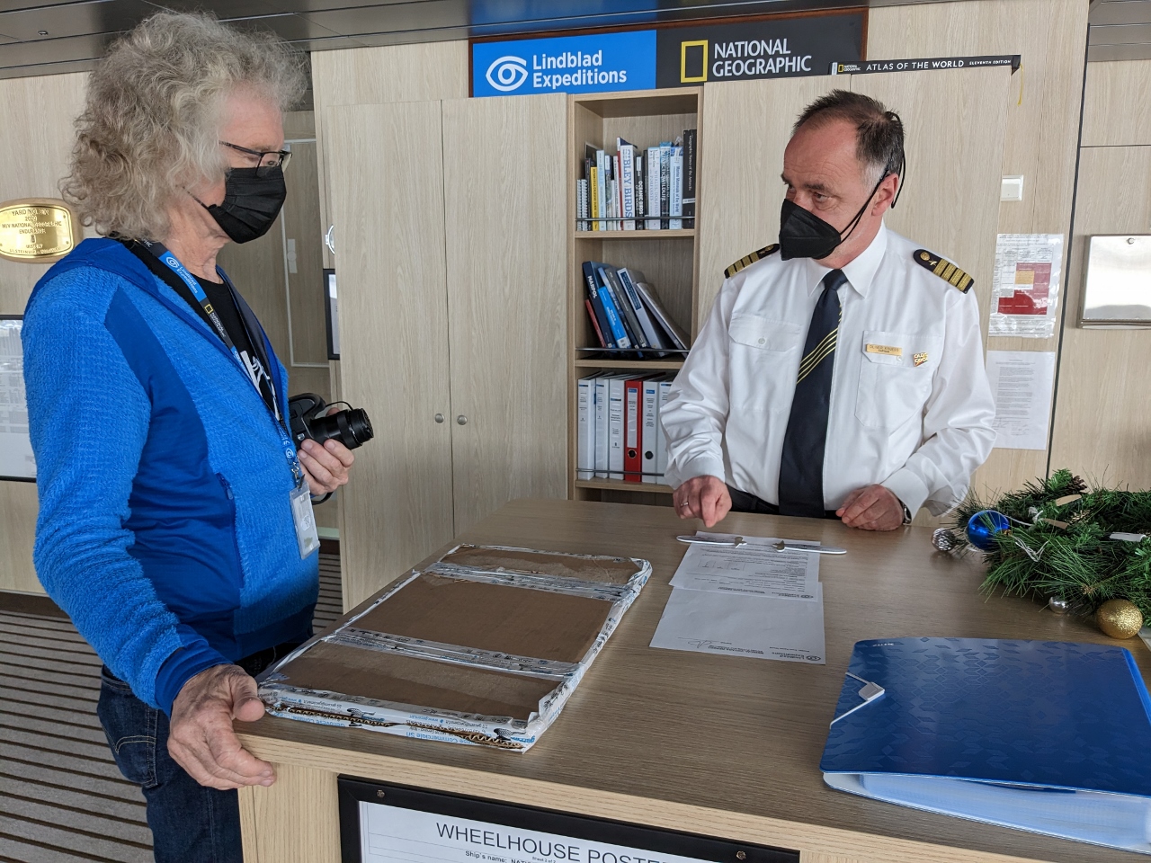
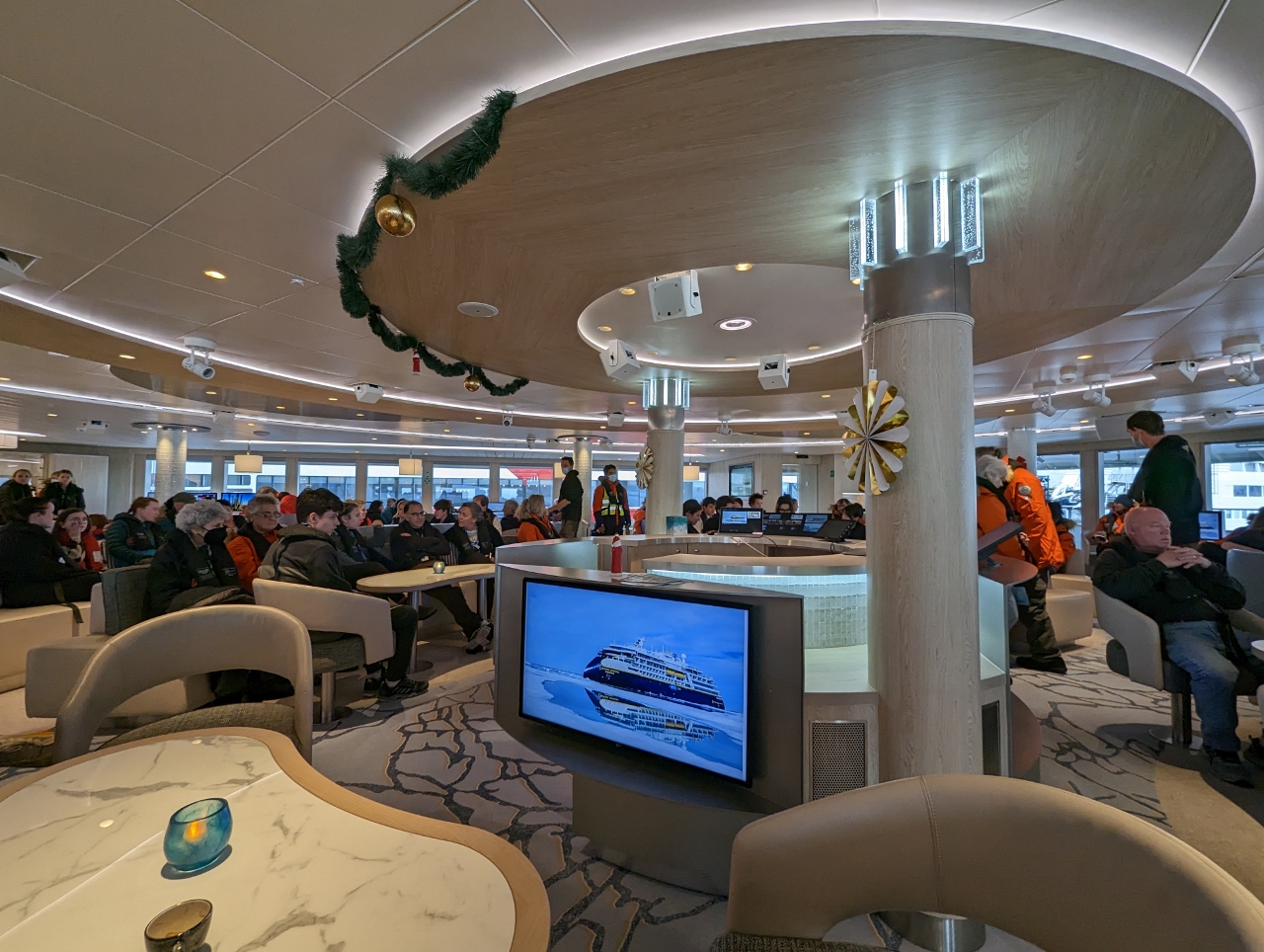
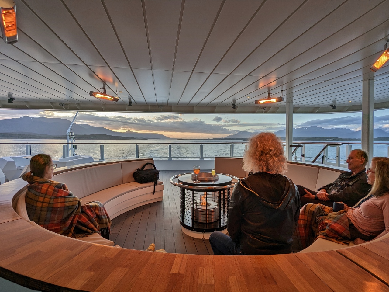
One of the many aspects of the Nat Geo Endurance cruise that we really liked was the open bridge policy. Except during more involved maneuvers such as docking, passengers were always welcome on the bridge.
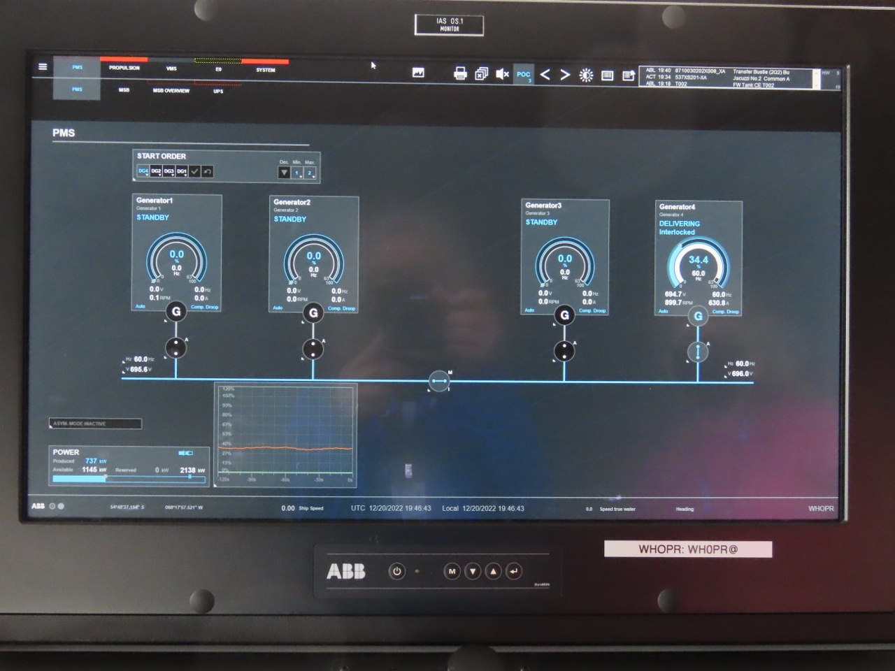
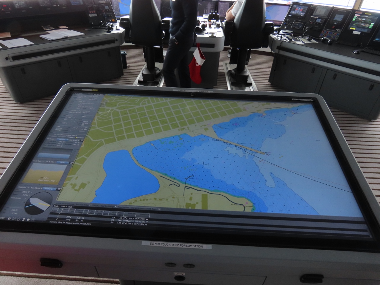
Left: Nat Geo Endurance engine state display. It’s a diesel-electric ship with four generators on board, and the hotel loads azipods and thrusters are all electrically powered. They start and stop generators as needed to meet the requirements of the current load. Here you can see, at the dock, they are running on a single engine. Right: The largest of several navigation displays, this one close to 100-in in diameter.
Captain Oliver Kreuss explains how the Endurance‘s azipods work. James had asked if it was possible to move the boat sideways without using thrusters due to the 360° control of the aft-mounted azipods.
James and Captain Oliver Kreuss going through the details of the Nat Geo Endurance specifications before departing. The captain, and many members of the crew, were remarkably generous with their time.
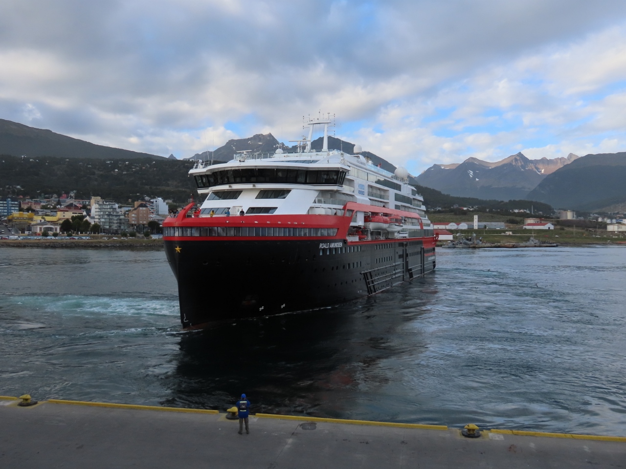
The Hurtigruten ship Roald Amundsen departing at 7pm, just before we’re scheduled to leave. On the right, our ship, the Nat Geo Endurance is getting underway.
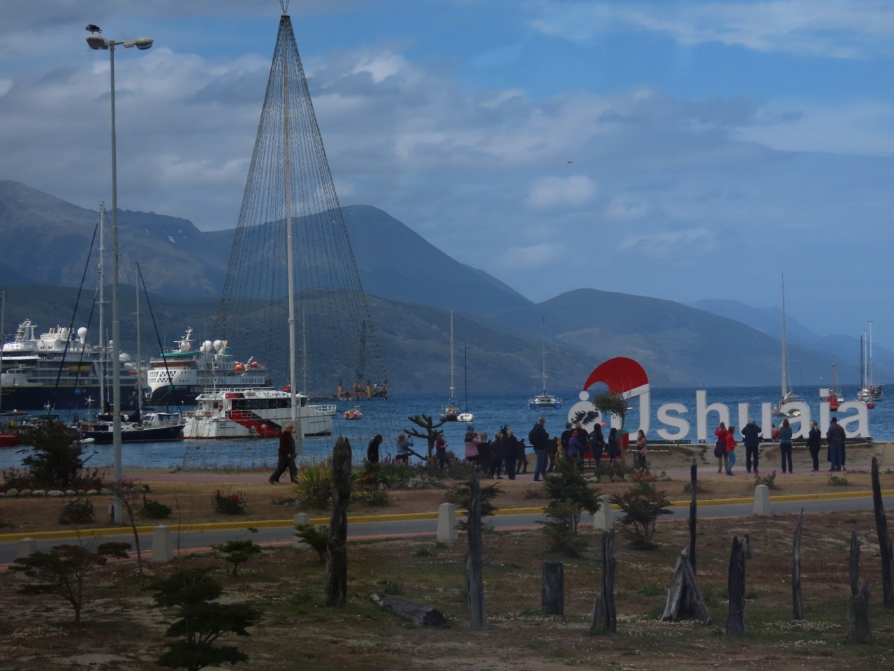
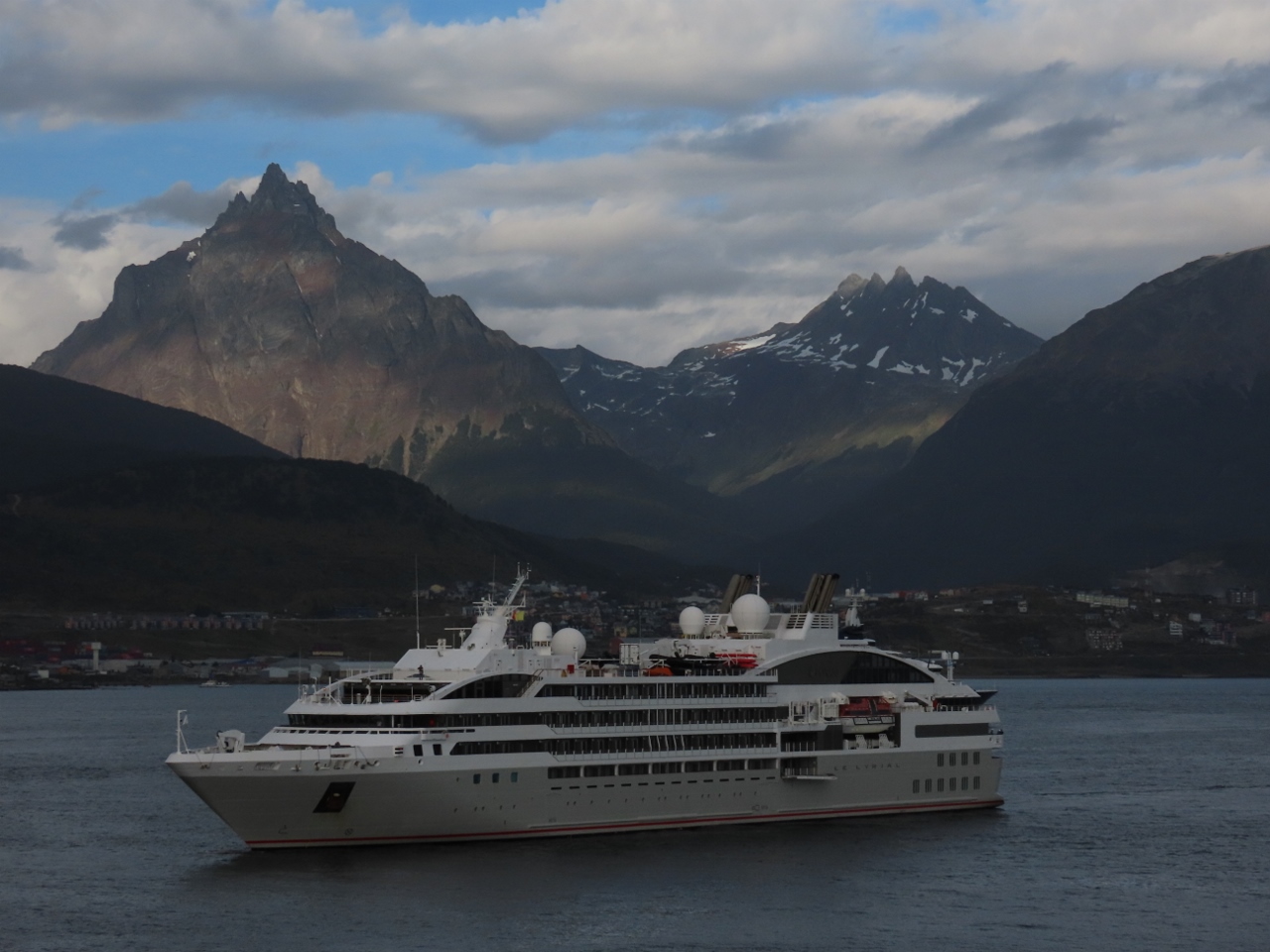
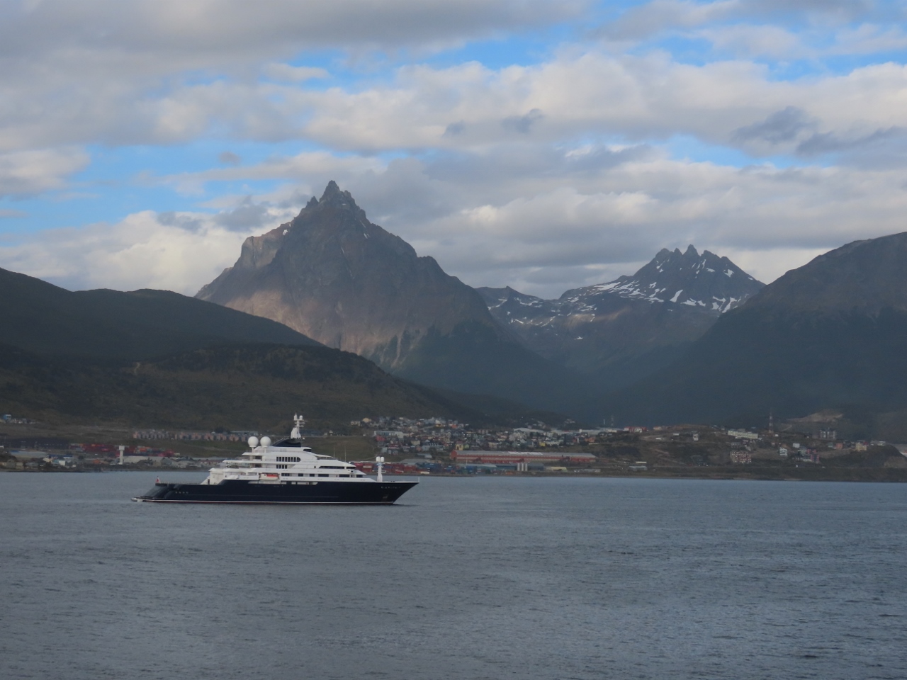
The Ponant ship Le Lyrial, and the privately-owned Octopus, at anchor off Ushuaia. This is our fourth sighting of Octopus around the world. We’ve seen it in San Francisco, Hawaii, and Sidney, Australia, and just missed it in Cairns, Australia.
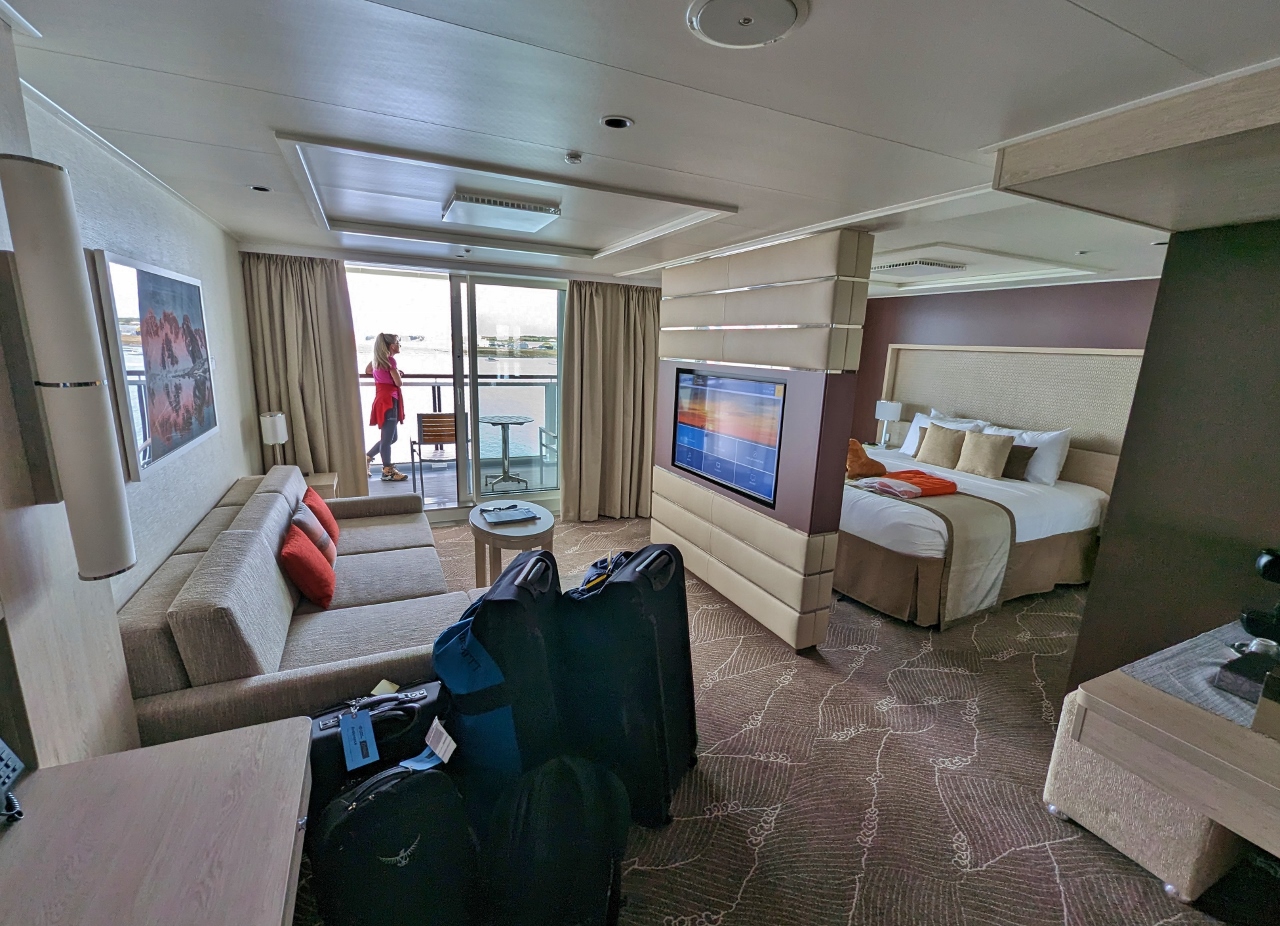
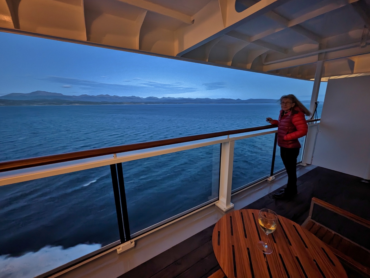
A nightcap on the balcony of our cabin as the sky darkens near 11pm.
Click the travel log icon on the left to see these locations on a map. And a map of our most recent log entries always is available at mvdirona.com/maps.
Those X-bow expedition ships look strange but I guess the bows work well.
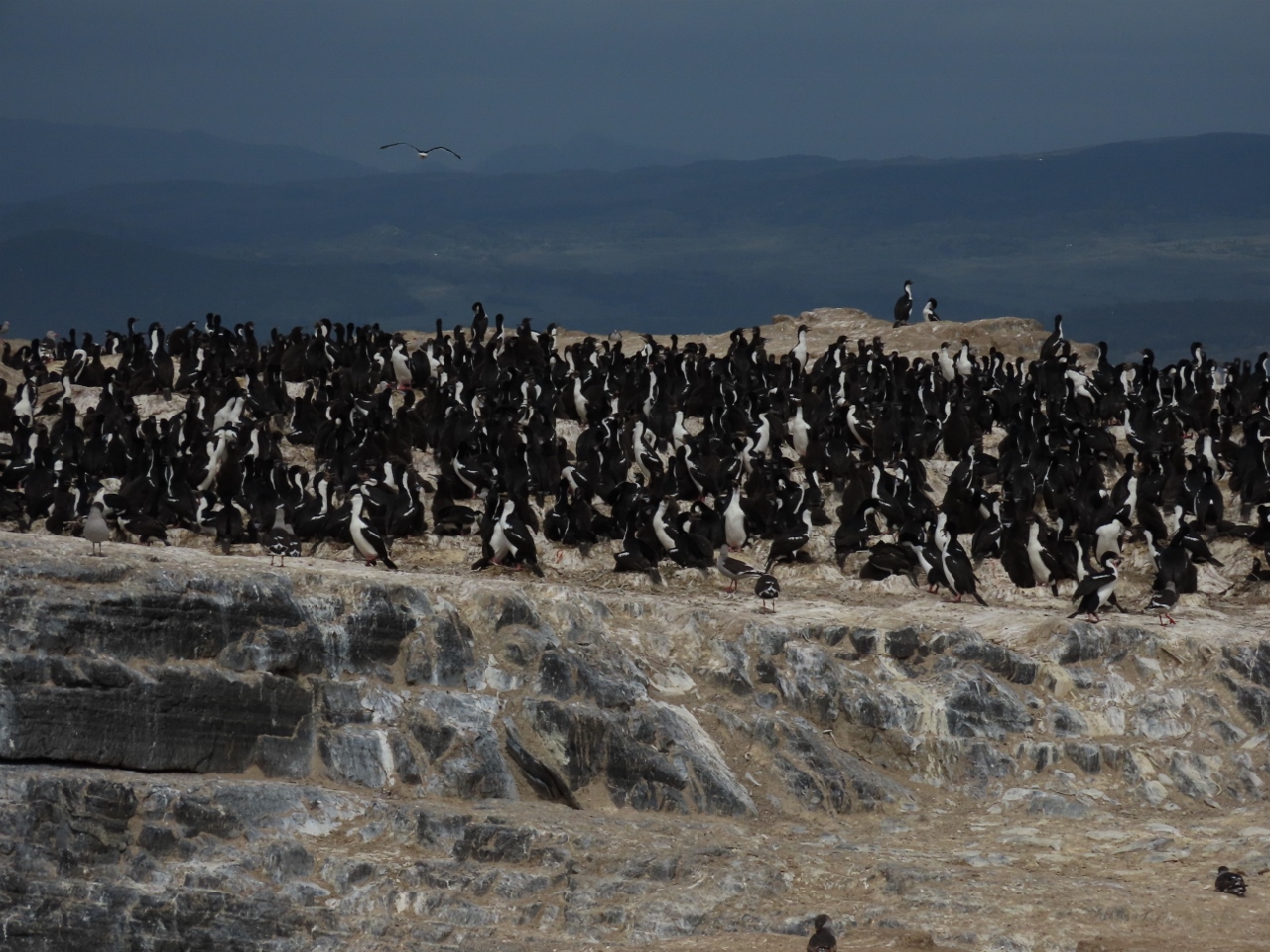
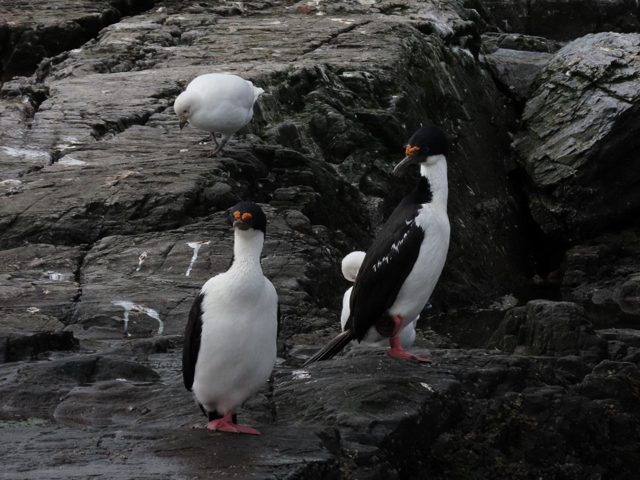
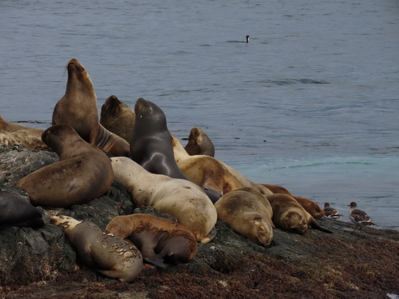
James is so curious to learn about new technologies I’m glad the captain and crew were happy to discuss everything with him. Wow, all the sea creatures before you are even underway. Looking forward to reading about the cruise and looking at all the photographs you take so well.
Thanks for the feedback John and, yeah, your right. Lots more great sea creatures coming up on the web site soon. Antarctica has a lot to offer and we had a great time.


Those X-bow expedition ships look strange but I guess the bows work well.
James is so curious to learn about new technologies I’m glad the captain and crew were happy to discuss everything with him. Wow, all the sea creatures before you are even underway. Looking forward to reading about the cruise and looking at all the photographs you take so well.
Thanks for the feedback John and, yeah, your right. Lots more great sea creatures coming up on the web site soon. Antarctica has a lot to offer and we had a great time.