The vista from the summit of 7,687-ft (2,342 m) Mannlichen is known as the Royal View, where on a clear day Jungfrau, Monch and Eiger dominate the skyline. The theme extends to the short hike up from Mannlichen station, called the Royal Walk, with waypoints along the way carrying names such as the King’s Gate, the Treasury, Royal Ties, and the Secret Sovereign. And Mannlichen station can be reached from Wengen via the Royal Ride, an open-air balcony atop the enclosed cable cars.
On our third full day in Bernice-Oberland region, we traveled to Wengen by train and took the Royal Ride followed by the Royal Walk, and then continued on foot to Kleine Scheidegg, where we took the same train back as when we visited Jungfraujoch. The weather was pretty socked in for most of the day, so we didn’t get much of the Royal View, but we did enjoy the various mode of travel and the walks in between.
Below are highlights from July 1st, 2022. Click any image for a larger view, or click the position to view the location on a map. And a map with our most recent log entries always is available at mvdirona.com/maps.
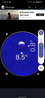 |
8.5 Degrees
Position: 46°35.72’N, 7°54.83’E
We’re on an 8.5-degree incline as our train climbs from Lauterbrunnen towards Wengen. We’re traveling on the Wengeralpbahn, the longest cog railway in the world at 12 miles (19 km) between Lauterbrunnen and Grindelwald, with a maximum incline of 25%.
|
 |
Pasta & More
Position: 46°36.34’N, 7°55.26’E
An enjoyable lunch by the window at Pasta & More in Wengen.
|
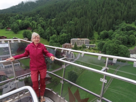 |
Open-Air Balcony
Position: 46°36.38’N, 7°55.30’E
A new cableway between Wengen and Mannlichen opened in 2018 with an open-air upper balcony on the cars. We loved it.
|
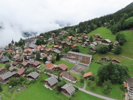 |
Wengen
Position: 46°36.38’N, 7°55.30’E
The view down to the town of Wengen as we ascend in the cable car to Mannlichen.
|
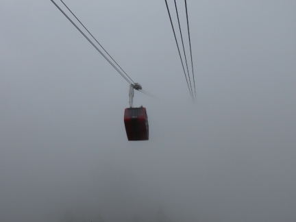 |
Into the Clouds
Position: 46°36.43’N, 7°55.46’E
A cable car descending from the clouds envoloping Mannlichen as we ascend from Wengen. Unfortunately the day is quite overcast, so we aren’t likely to get much of a view at the top.
|
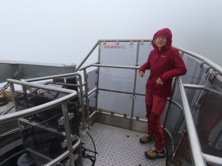 |
Still Fun
Position: 46°36.52’N, 7°55.71’E
We’re in the clouds now as we continue to ascend to Mannlichen. We can’t see much, but we’re still having fun.
|
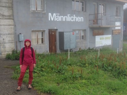 |
Mannlichen
Position: 46°36.81’N, 7°56.47’E
In the fog at Mannlichen station.
|
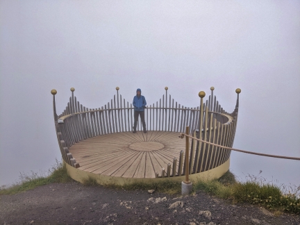 |
The Royal View
Position: 46°37.04’N, 7°56.31’E
A short hike from Mannlichen station leads to the summit of 7,687-ft (2,342 m) Mannlichen and the “Royal View”, where on a clear day Jungfrau, Monch and Eiger dominate the skyline. But in today’s overcast weather, we can barely see the crown that surrounds the viewpoint.
|
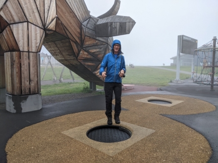 |
Trampoline
Position: 46°36.29’N, 7°57.92’E
James enjoying the trampoline at a playground in Mannlichen as we walk down to Kleine Scheidegg.
|
 |
Reservoir
Position: 46°36.61’N, 7°56.59’E
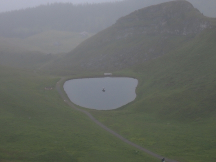
The clouds cleared a bit to reveal sections of the valley below Mannlichen. The reservoir pictured is used for making snow in the winter. This is a popular ski area with several ski lifts operating in the winter.
|
 |
Alpenrose
Position: 46°36.16’N, 7°57.14’E
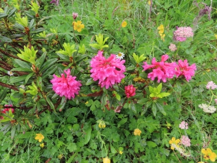
Colorful alpenrose growing alongside the trail from Mannlichen to Kleine Scheidegg. The alpenrose is a member of the Rhododendron family, and looks like a miniature version of the larger plants that are common in the Pacific Northwest.
|
 |
Viewing Tower
Position: 46°35.35’N, 7°57.66’E
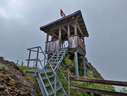
On a clear day, this tower above Restaurant Grindelwaldblick has a wonderful view down into Kleine Scheidegg.
|
 |
9.5 Degrees
Position: 46°34.54’N, 7°56.35’E
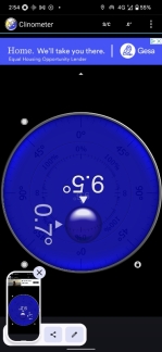
From Kleine Scheidegg, where we had lunch after visiting Jungfraujock, we took the train back down to Lauterbrunnen. We are at an angle of 9.5° as we descend through Wengeralp. 9.5° degrees in a train feels very steep indeed.
|
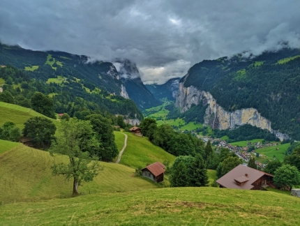 |
Lauterbrunnen Valley
Position: 46°36.43’N, 7°55.09’E
A great view to the Lauterbrunnen Valley as we pop back out from below the clouds just past Wengen en route to Lauterbrunnen.
|
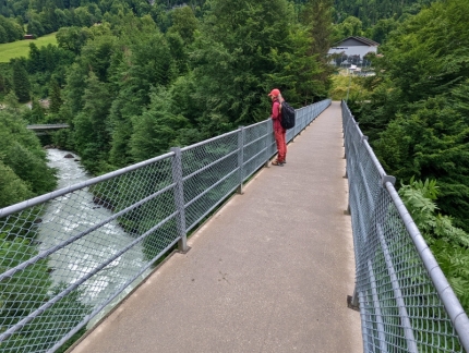 |
Footbridge
Position: 46°35.86’N, 7°54.52’E
We’d been to Lauterbrunnen station several times en route to and from Murren, but hadn’t walked around town yet. We particularly wanted to check out this footbridge over the White Lutschine, one of two tributaries of the Lutschine River.
|
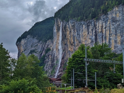 |
Staubbach Falls
Position: 46°35.86’N, 7°54.53’E
The Staubbach Falls just outside Lauterbrunnen spill 974 ft (297 m) down a sheer cliff face.
|
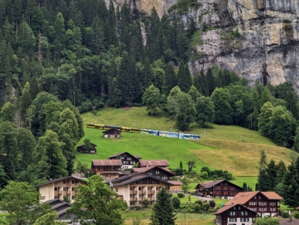 |
Train Descending
Position: 46°35.85’N, 7°54.45’E
A train from Wengen, descending the slope down into Lauterbrunnen along the route we just took.
|
 |
Swiss Travel Pass
Position: 46°35.93’N, 7°54.43’E
We bought a 15-day Swiss Travel Pass that covers most train, bus and boat trips to and within cities and villages in Switzerland, with a discount on other forms of travel such as funicular, cable way or cog railway. Not having to decide on our routing in advance or waste time purchasing last-minute tickets at kiosks has been super-convenient. The conductors simply scan the ticket on our phones when they make their rounds.
|
 |
BASE Jumpers
Position: 46°34.90’N, 7°53.76’E
A group of BASE jumpers were on our train to Murren. The label on the black pack of the man standing at center reads adrenalineBASE, a French company that makes BASE jumping gear. Their web site has some exciting photographs and video.
|
 |
Snow Blower
Position: 46°33.59’N, 7°53.66’E
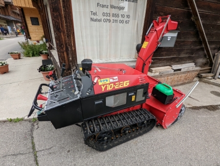
An impressive-looking Yanase Y10-22G snow thrower parked in Murren. Depending on conditions, the machine can throw snow up to 82 ft (25 m) operating on a Briggs and Stratton 22 HP 2-cylinder engine.
|
 |
Happy Hour
Position: 46°33.59’N, 7°53.66’E
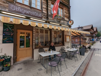
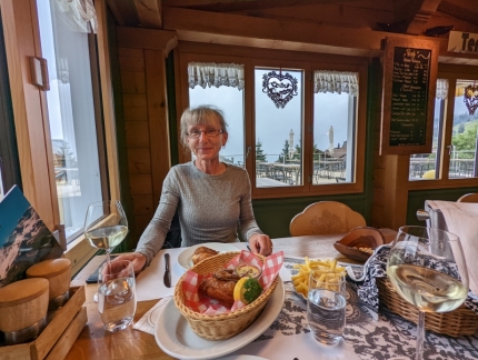
Happy Hour street-side on the terrace of the Restaurant Stagerstubli in Murren.
|
 |
Hotel Bellevue
Position: 46°33.62’N, 7°53.65’E
For our fourth and final dinner in Murren, we returned to the Hotel Bellevue for their delicious crisp fried chicken.
|
 |
Click the travel log icon on the left to see these locations on a map. And a map of our most recent log entries always is available at mvdirona.com/maps. |

If your comment doesn't show up right away, send us email and we'll dredge it out of the spam filter.