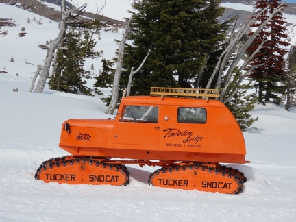
Distinctive bright-orange Tucker Sno-Cats have been operating at Timberline on Mt. Hood since the beginning of skiing in the area. They are so synonymous with the ski resort that the local Mt. Hood Brewing Company named a beer after the pair: the Timberline Tucker Double IPA. Featured on the label, and above, is a refurbished 1959 model that Timberline brought back to Mt. Hood as a show of appreciation and nostalgia.
Tucker Sno-Cat Corp of Medford, Oregon was founded in the early 1900s by E. M. Tucker, Sr. He grew up in a log cabin near Grants Pass, Oregon, and commonly walked through deep snow on his way to school. That inspired him to invent machines for cost-effective transportation over deep, soft snow and the firm he founded is the oldest successful manufacturer of snow vehicles in the world. The bright orange Tucker Sno-Cats are common in ski areas, but have also been in used in Arctic and Antarctic expeditions. While the typical truck-sized snow vehicle, or snowcat, has two sets of tracks, most Tucker Sno-Cats have four independent tracks. A few early models, such as the smaller Tucker Kitten, did use dual tracks.
After a day of snowshoeing at Timberline, we spent the following day on a driving tour of the Mt. Hood area. We stopped in at Mt. Hood Meadows, the second ski resort at Mt Hood. The ski runs there have a maximum elevation of 7,300 ft (2,225 m) and would soon close for the end of the winter season. Timberline, in contrast, has a maximum elevation of 8,540 ft (2,600m), and would keep running through August. We returned to Timberline to have a drink at the second-floor Ram’s Head Bar in beautiful Timberline Lodge, since it was closed when we were there yesterday. While there, the skies cleared for a great view to Mt. Hood, and we later spied the historic 1959 Tucker SnoCat.
Below are highlights from April 29th, 2022. Click any image for a larger view, or click the position to view the location on a map. And a map with our most recent log entries always is available at mvdirona.com/maps.
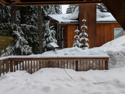 |
Starlink Position 2
Position: 45°18.34’N, -121°45.32’W
We tried another position for our Starlink antenna, but still couldn’t reliably connect due to interference from the trees.
|
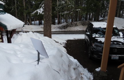 |
Starlink Position 3
Position: 45°18.34’N, -121°45.32’W
We moved the Starlink antenna to the front yard, but the trees still got in the way. We’re learning the Starlink isn’t invincible, but we’ve found it quite tolerant of blockage and overall an amazing value.
|
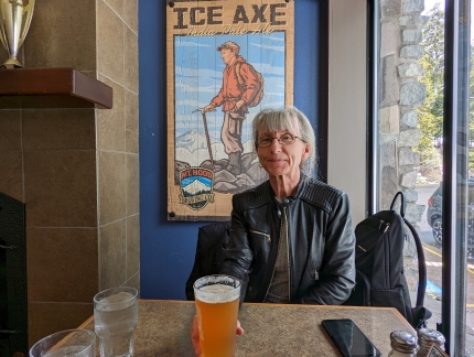 |
Mt. Hood Brewing Co
Position: 45°18.20’N, -121°45.97’W
Back at Mt. Hood Brewing Company, this time for lunch. We’re at the same table, but to mix it up a bit, we did swap seats :-).
|
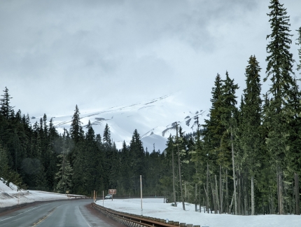 |
Route 35
Position: 45°17.40’N, -121°40.25’W
On Oregon Route 35 heading towards Mt. Hood Meadows ski area on a driving exploration of the area, with Mt. Hood partially visible ahead.
|
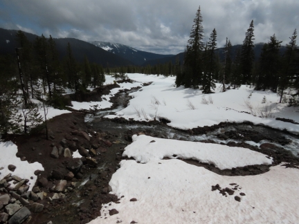 |
White River
Position: 45°18.24’N, -121°40.24’W
Crossing over the snow-edged White River. Oregon Trail pioneers following the Barlow Road had to fjord this river.
|
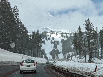 |
Snow
Position: 45°19.49’N, -121°39.48’W
Snow falling, with another partial view to Mt. Hood, as we near Mt. Hood Meadows.
|
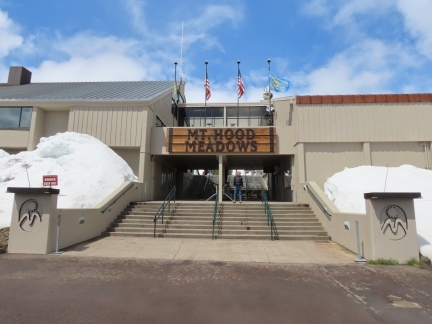 |
Mt. Hood Meadows
Position: 45°19.88’N, -121°39.81’W
At Mt. Hood Meadows, the second ski area on Mt. Hood. The ski runs here have a maximum elevation of 7,300 ft (2,225 m) and will soon close for the end of the winter season. Timberline, where we hiked yesterday, has a maximum elevation of 8,540 ft (2,600m) and will keep running through August. This is the longest ski season in North America.
|
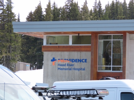 |
Hospital
Position: 45°19.89’N, -121°39.92’W
It’s surprising there are enough ski accidents in the area to support an on-site hospital.
|
 |
Back to Timberline
Position: 45°19.53’N, -121°42.67’W
Heading back up to Timberline ski area with a partial view to Mt. Hood.
|
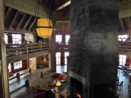 |
Ram’s Head Bar
Position: 45°19.88’N, -121°42.67’W
We’d returned to Timberline to have a drink at the second-floor Ram’s Head Bar in Timberline Lodge, since it was closed when we were there yesterday. James is visible in silhouette just to the left of the chimney along the second floor railing.
|
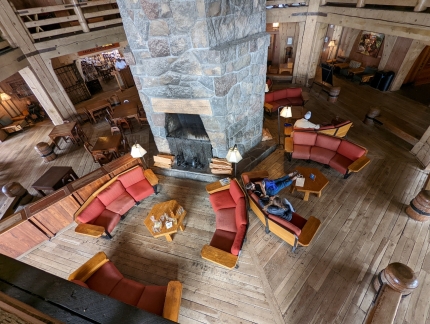 |
Lounge
Position: 45°19.88’N, -121°42.67’W
Looking down to the lounge area around the chimney at Timberline Lodge. Yesterday we sat at the table at upper left.
|
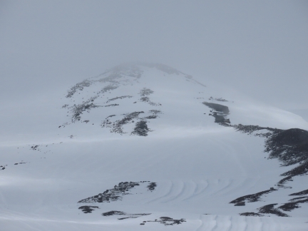 |
Overcast
Position: 45°19.88’N, -121°42.67’W
One of the draw of Ram’s Head Bar is a great view to Mt. Hood. But it’s not too great right now with overcast conditions.
|
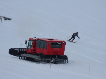 |
Snowcat
Position: 45°19.88’N, -121°42.67’W
We can’t see the mountain right now, but there’s still interesting things to see out the window at Ram’s Head Bar. Here a snowcat is heading up with a load of passengers, while a skier is heading downhill.
|
 |
Skiers
Position: 45°19.88’N, -121°42.67’W
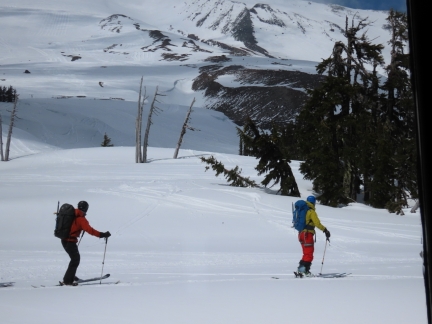
A couple of skiers passing the window outside Ram’s Head Bar in Timberline Lodge.
|
 |
Clearing
Position: 45°19.87’N, -121°42.67’W
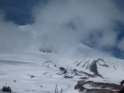
The sky is starting to clear and everyone in the bar is getting excited about a good view.
|
 |
Mt. Hood
Position: 45°19.88’N, -121°42.67’W
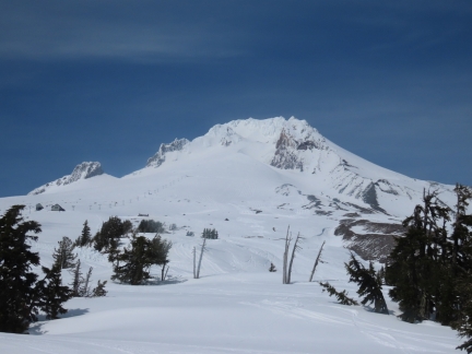
After nearly an hour, the skies suddenly cleared to reveal spectacular 11,250-ft (3,429 m) Mt. Hood. Everyone in the bar cheered. The Palmer Express chairlift, starting at altitude 6,799 ft (2,073 m), is visible at upper left.
|
 |
Window Brace
Position: 45°19.88’N, -121°42.67’W
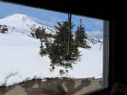
The winds can blow so strongly up here that the large panes have metal braces to prevent them from blowing in.
|
 |
Barlow Room
Position: 45°19.89’N, -121°42.67’W
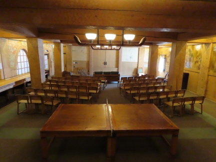
An historic ping-pong table in the Barlow Room at Timberline Lodge.
|
 |
Tucker Sno-Cat
Position: 45°19.85’N, -121°42.66’W
One of several varieties of tracked vehicles made by Tucker Sno-Cat corporation of Medford Oregon, established in the early 1900s. The bright orange Tucker Sno-Cats are common in ski areas, but have also been in used in Arctic and Antarctic expeditions. While the typical truck-sized snow vehicle, or snowcat, has two sets of tracks, most Tucker Sno-Cats have four independent tracks. A few early models, such as the smaller Tucker Kitten, did use dual tracks.
|
 |
Snowcat & Mt. Hood
Position: 45°19.82’N, -121°42.63’W
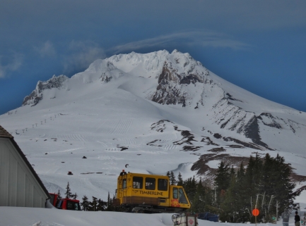
A traditional two-track snowcat beneath Mt. Hood.
|
 |
John Deere
Position: 45°19.73’N, -121°42.56’W
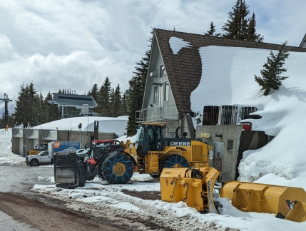
Dirona had a John Deere engine and we still love seeing a John Deere in the wild.
|
 |
Summit Pass
Position: 45°18.16’N, -121°44.78’W
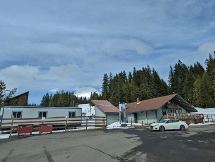
The chairlift for Summit Pass, the lower ski area at Timberline. The beginner-level property was recently acquired by the Timberline Lodge, who plan to build a gondola directly from here to their main ski area.
|
 |
Starlink Position 4
Position: 45°18.34’N, -121°45.32’W
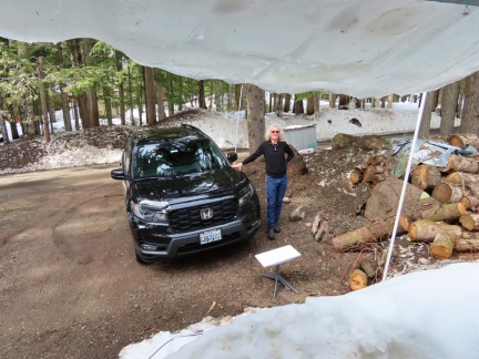
Trying out another position for the Starlink antenna, but we can’t escape the obstruction of the trees. The Starlink has been amazing at hooking up in difficult and highly obstructed locations. But this is the fourth attempt at Government Camp and the antenna has met its match. The gaps in the trees just aren’t big enough for it to hook up more than briefly.
|
 |
Spitfire
Position: 45°18.33’N, -121°45.30’W
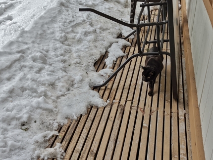
Spitfire is getting more comfortable in our cabin at Government Camp, enough to take a brief walk outside.
|
 |
Click the travel log icon on the left to see these locations on a map. And a map of our most recent log entries always is available at mvdirona.com/maps. |

If your comment doesn't show up right away, send us email and we'll dredge it out of the spam filter.