In 1893, Norwegian ship captain Richard With founded the Hurtigruten coastal ferry service in Stokmarknes, where he lived and worked. At that time, no year-round scheduled ferry existed in northern Norway. The Hurtigruten pioneered the service and became a vital link between northern Norway and the rest of the country.
A century later, when the Hurtigruten vessel Finnmarken was retired in 1993, it was brought to Stokmarknes and became the first exhibit in the Hurtigruten Museum that followed. The museum does a great job of presenting the Hurtigruten story. From Trollfjord, we continued north to Stokmarknes where we spent an enjoyable night at anchor following a visit to the museum and a walk through town.
Below are trip highlights from June 1, 2018 in Sotkmarknes, Norway. Click any image for a larger view, or click the position to view the location on a map. And a live map of our current route and most recent log entries always is available at mvdirona.com/maps
 |
Fallvika
Position: 15 6.15, 68 23.97
The waterfall Fallvika, right, with mountain peaks just visible behind the clouds as we continue north through Raftsund to Stokmarknes.
|
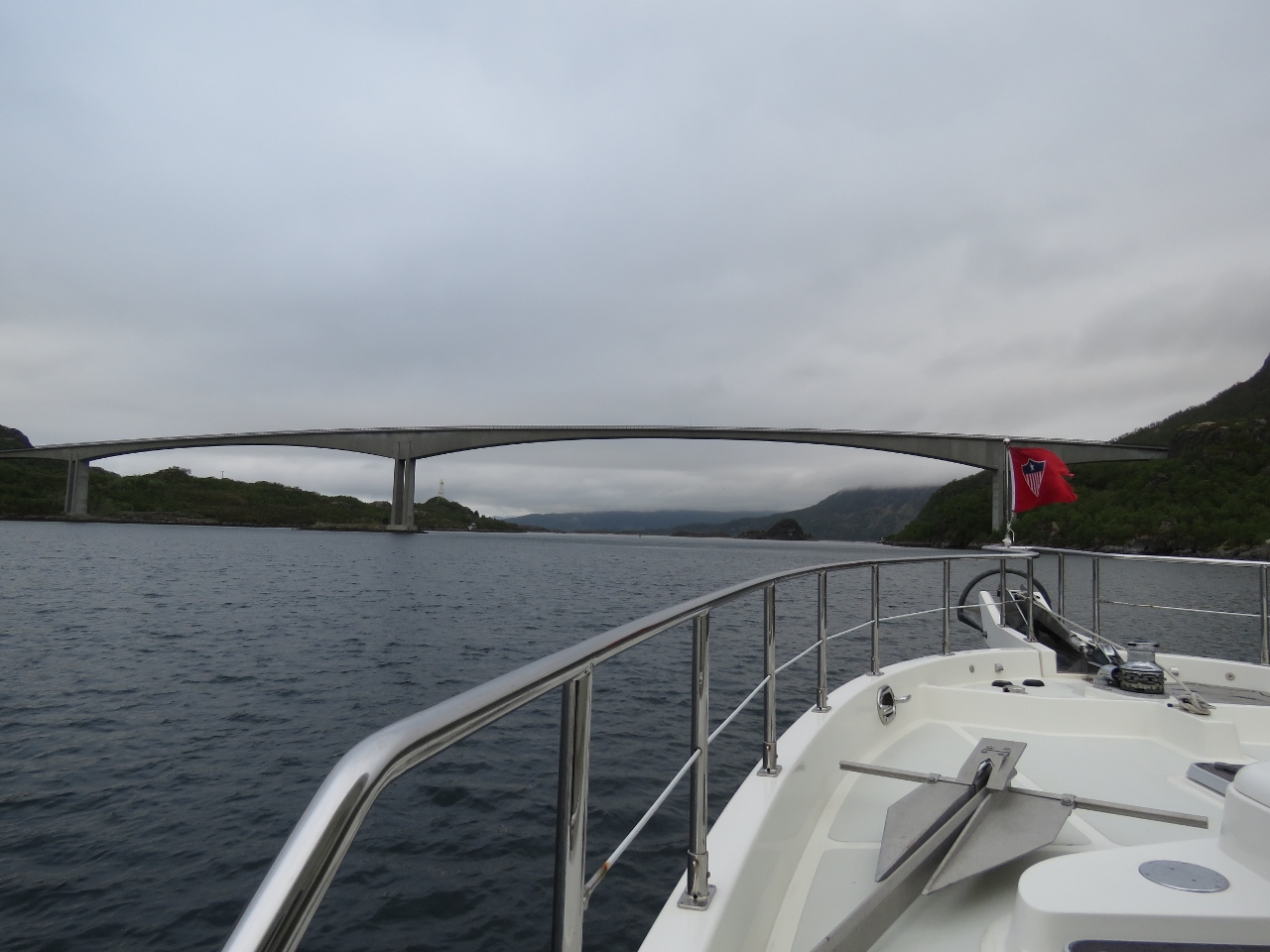 |
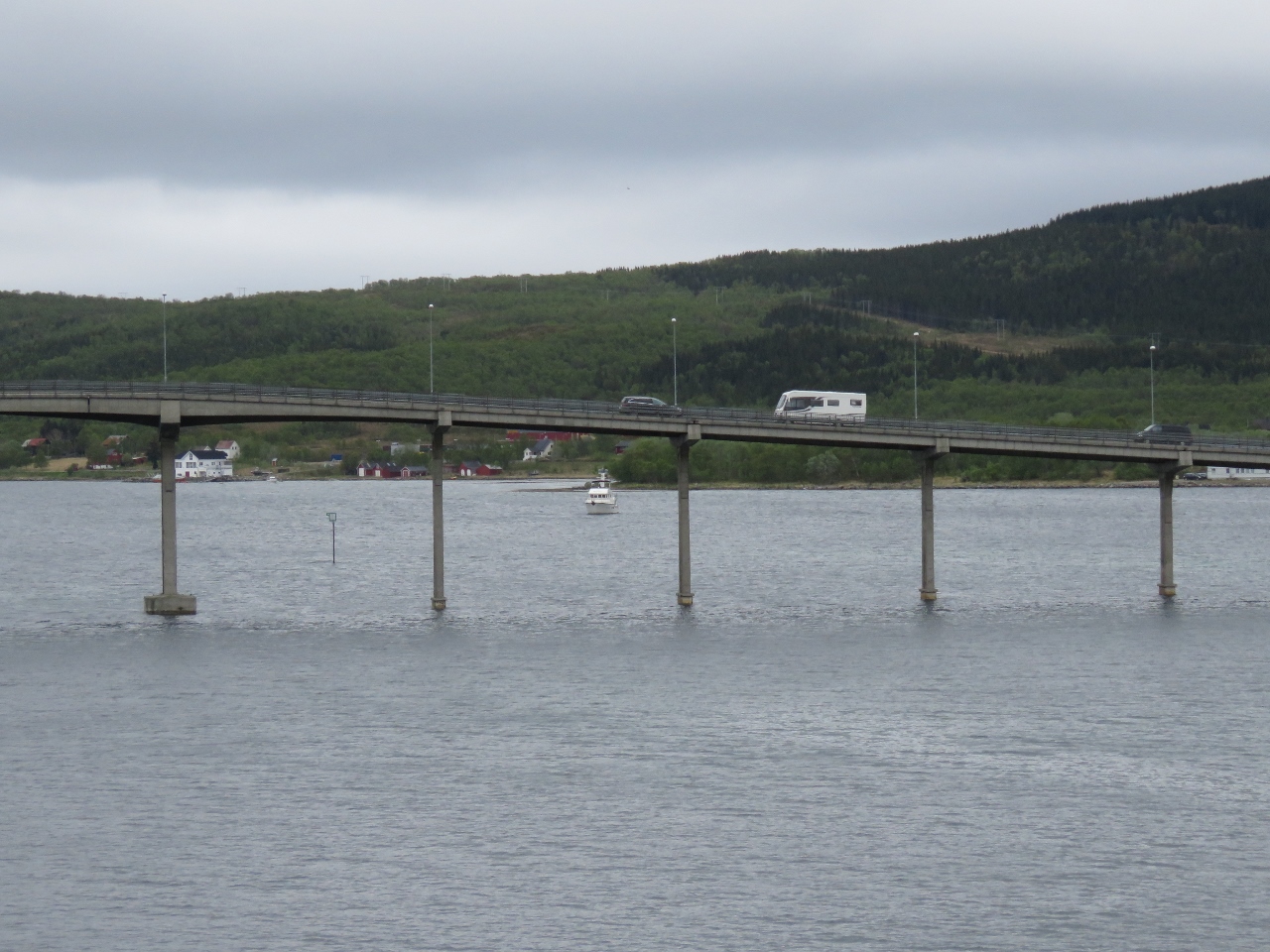
Raftsund Bridge
Position: 15 11.47, 68 27.27
About to pass under Raftsund Bridge at the north end of Raftsund.
|
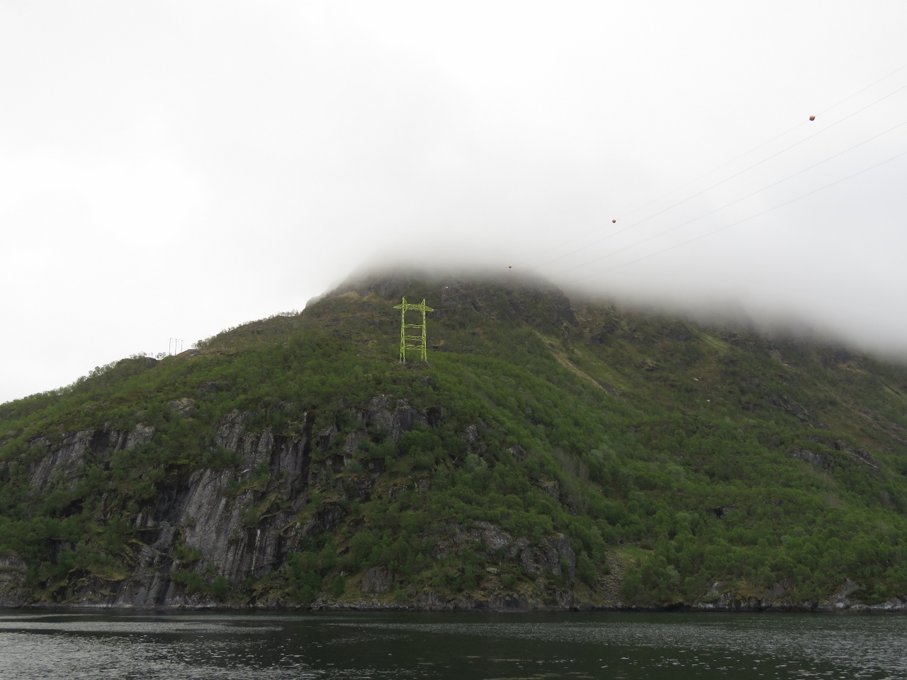 |
Power Lines
Position: 15 12.10, 68 28.05
Power lines crossing Raftsund as we exit the channel.
|
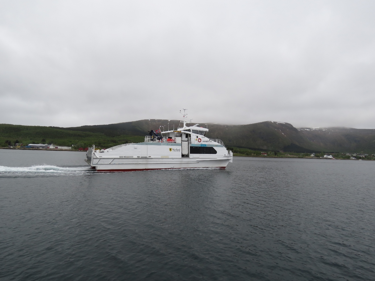 |
Hanøy
Position: 14 57.09, 68 33.80
The fast ferry Hanøy passing us as we enter the harbour off Stokmarknes.
|
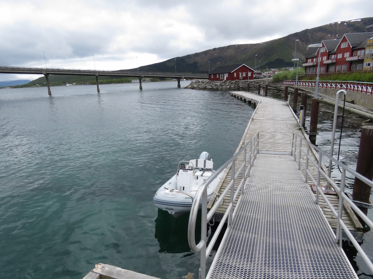 |
Tender
Position: 14 55.52, 68 33.84
The tender tied off at the guest dock in Stokmarknes.
|
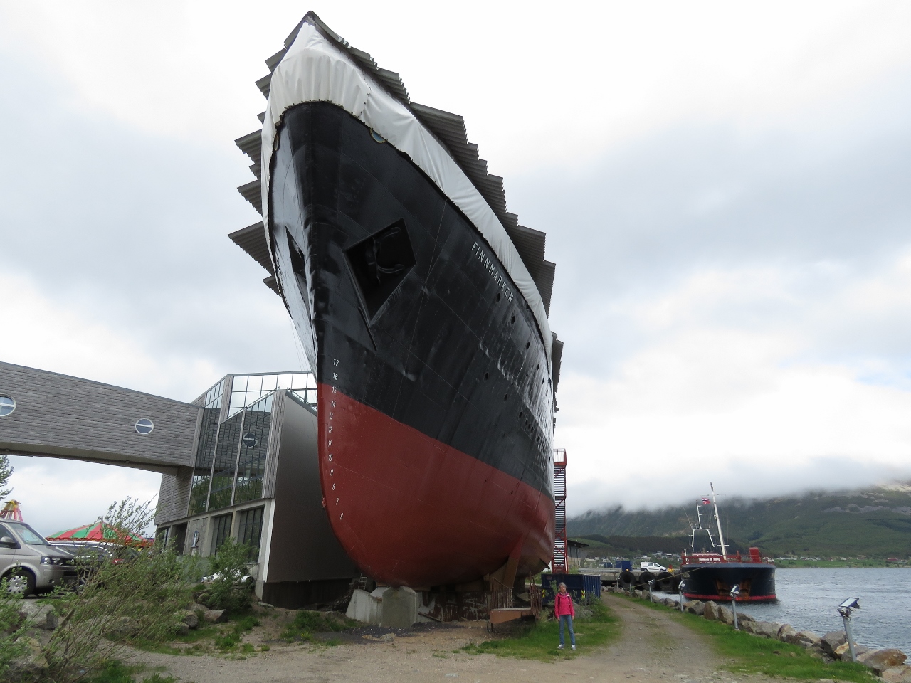 |
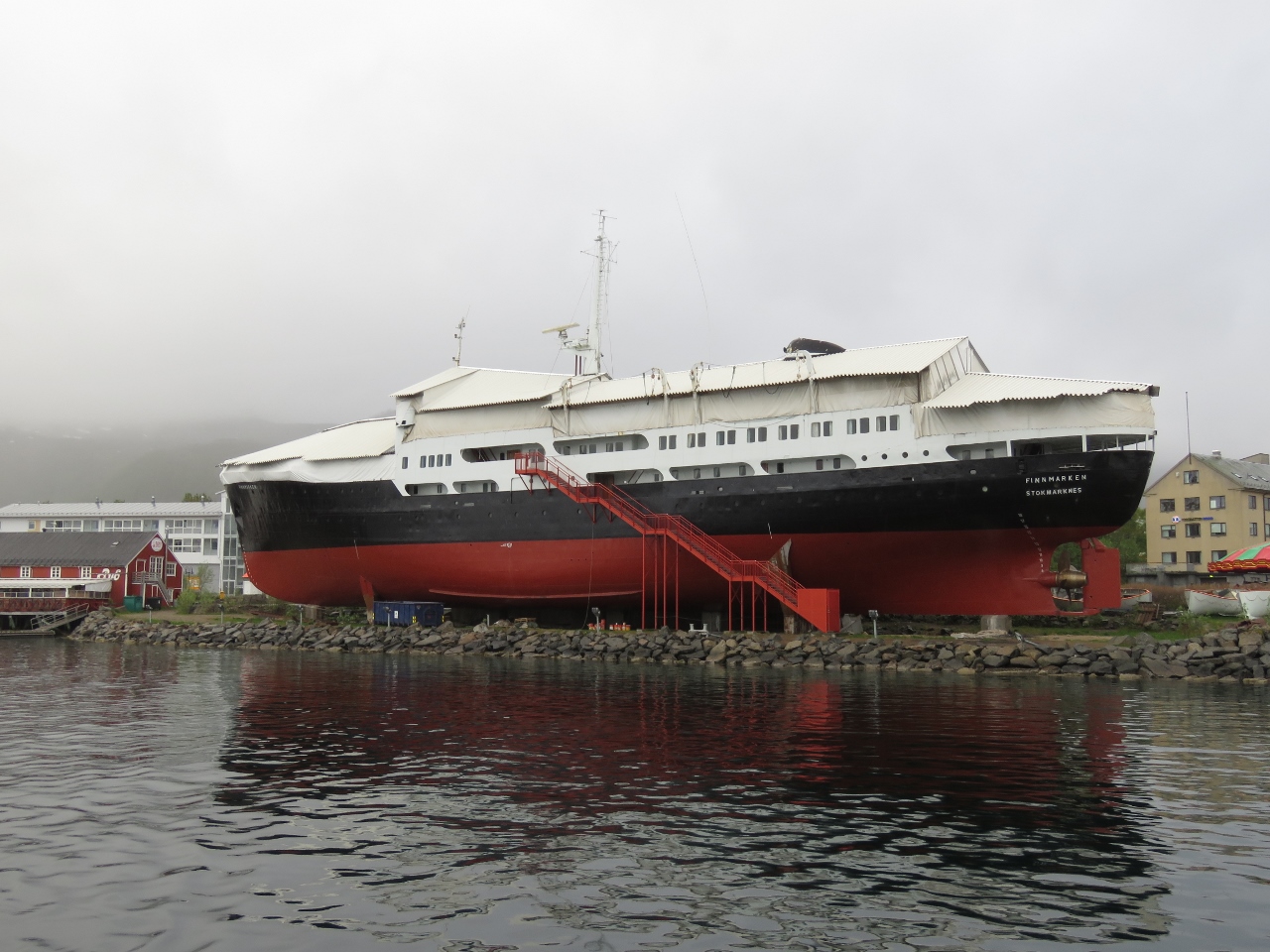
Finnmarken
Position: 14 55.51, 68 33.84
When the Hurtigruten vessel Finnmarken was retired in 1993, it was brought to Stokmarknes and became the first exhibit in the Hurtigruten Museum that followed. Plans are in place to build a dramatic new museum in a huge glass enclosure completely surrounding the Finnmarken.
|
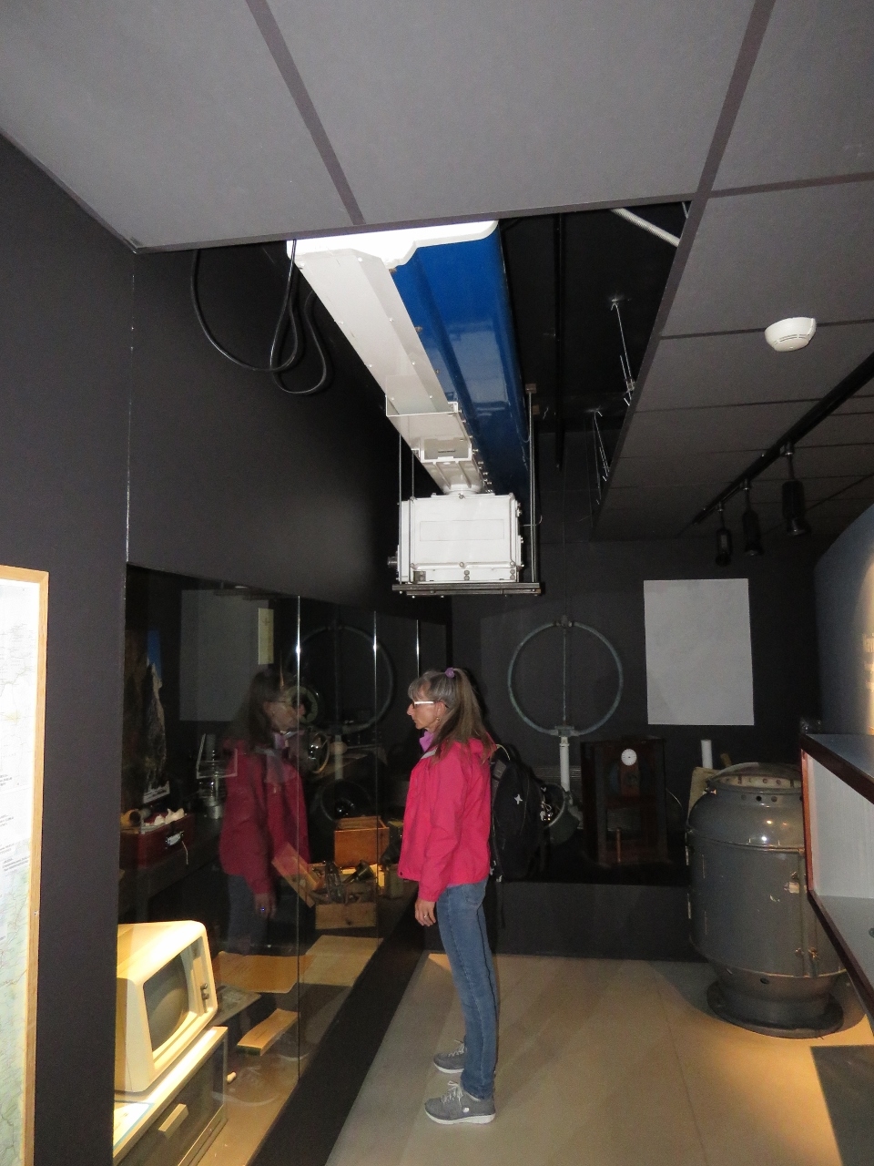 |
Radar
Position: 14 55.52, 68 33.84
A display on ship’s electronics inside the Hurtigruten Museum. Jennifer is standing underneath a huge Furuno radar that would sink Dirona.
|
 |
Transfer
Position: 14 55.52, 68 33.84
This photograph shows how goods and people were transfered in earlier days when a dock wasn’t available for the large coastal steamers. A small boat came alongside to shuttle between ship and shore.
|
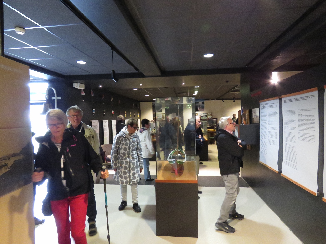 |
Crowds
Position: 14 55.51, 68 33.84
When we arrived, the museum was pretty much empty. As we watched an excellent movie detailing the history of the coastal steamer service in Norway, the museum quickly filled up. The daily Hurtigruten had arrived.
|
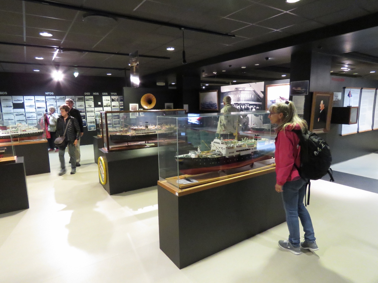 |
Model Ships
Position: 14 55.52, 68 33.84
The Hurtigruten Museum has an excellent display of model ships. We were overall quite impressed with the museum and really enjoyed our visit.
|
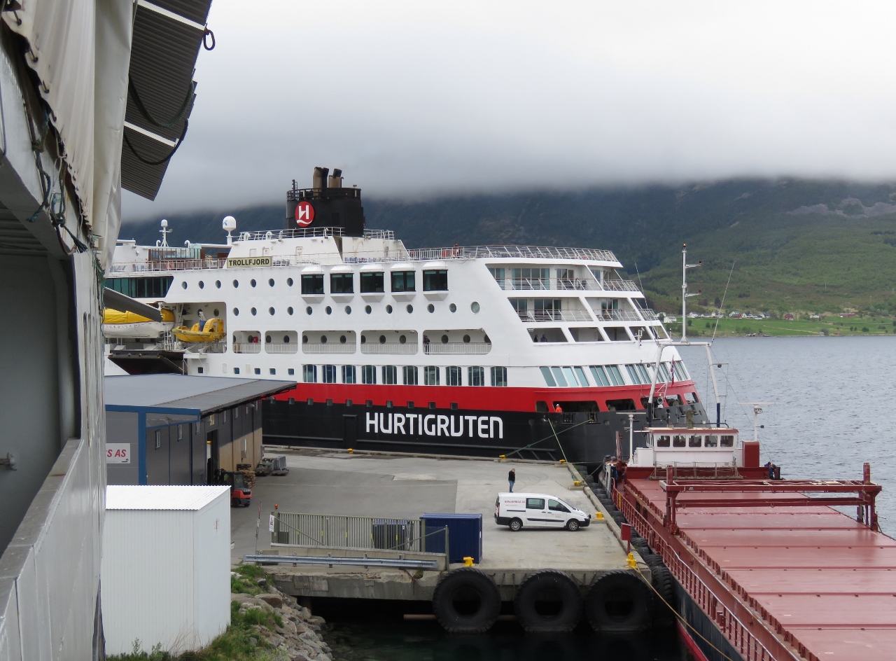 |
Trollfjord
Position: 14 55.51, 68 33.84
On board the Finnmarken we had a view to the Hurtigruten Trollfjord that was docked in town. That’s where all the people came from.
|
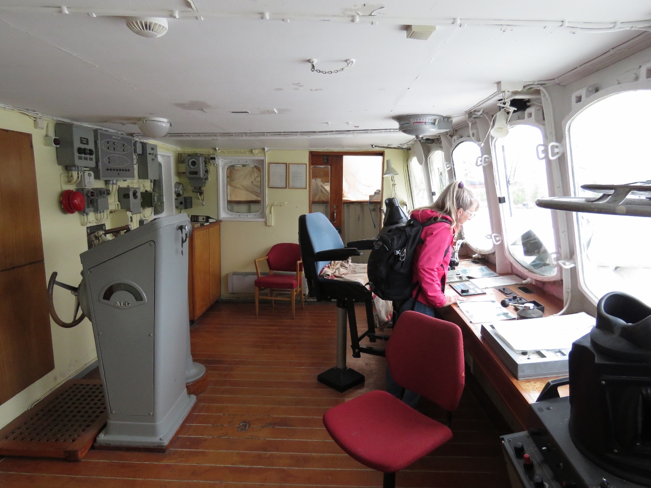 |
Bridge
Position: 14 55.51, 68 33.84
At the bridge of the Finnmarken, with much of the electronics still in place. We had access to most of the Finnmarken except for the engine room. Too bad, as we would have loved to see it.
|
 |
Anchorage
Position: 14 55.52, 68 33.84
A view to our anchorage off Stokmarknes from the bridge of the Finnmarken. It was an easy and convenient stop with reasonable depths, good holding and plenty of swing room.
|
 |
Helm
Position: 14 55.52, 68 33.84
Jennifer at the helm of the Finnmarken.
|
 |
Sailor
Position: 14 55.52, 68 33.84
Piles of old Sailor satellite communications equipment piled on the Finnmarken.
|
 |
Spare Bank
Position: 14 55.51, 68 33.84
After visiting the Hurtigruten Museum, we walked through Stokmarknes. We’re big believers in redundancy, so appreciate the idea of a spare bank. :) They even have a backup mini-bank too.
|

|
Click the travel log icon on the left to see these locations on a map, with the complete log of our cruise.
On the map page, clicking on a camera or text icon will display a picture and/or log entry for that location, and clicking on the smaller icons along the route will display latitude, longitude and other navigation data for that location. And a live map of our current route and most recent log entries always is available at mvdirona.com/maps. |
If your comment doesn't show up right away, send us email and we'll dredge it out of the spam filter.