Naval Submarine Base Kings Bay is the the east coast home to the US Navy’s Ohio-class nuclear submarines. Nearby St. Marys has a museum packed with submarine memorabilia and even a working periscope. The attractive town also is the gateway to the popular Cumberland Island National Seashore. Following a half-day run from Brunswick, Georgia we anchored off Cumberland Island and ran the tender up the St. Marys River to have lunch ashore and check out the museum and the rest of the town.
Trip highlights from January 31s, 2017 in St. Marys, Georgia follow. Click any image for a larger view, or click the position to view the location on a map. And a live map of our current route and most recent log entries always is available at http://mvdirona.com/maps
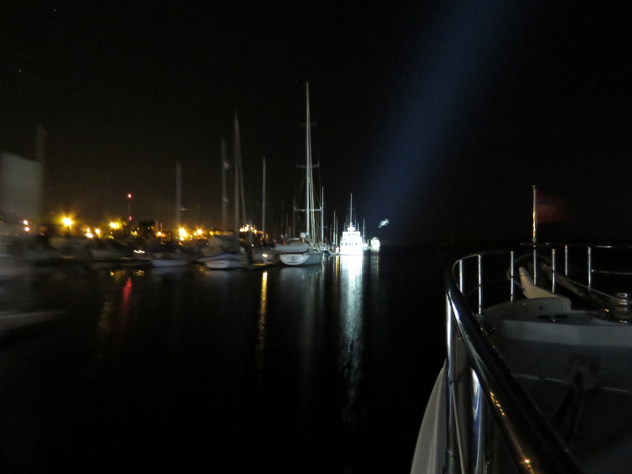 |
Pre-Dawn Departure
Position: -81 30.00, 31 9.25
We left Brunswick Landing shortly after 5am this morning to arrive at Cumberland Island with time to enjoy the afternoon there. The tide was low, not leaving enough room to turn around in the channel, so we backed out of our end berth and into the fairway behind us to turn around. This is the view down the East River just after we departed our berth. The video at youtu.be/cLm3TsVuG8A shows us pulling away from the dock and heading out to sea.
|
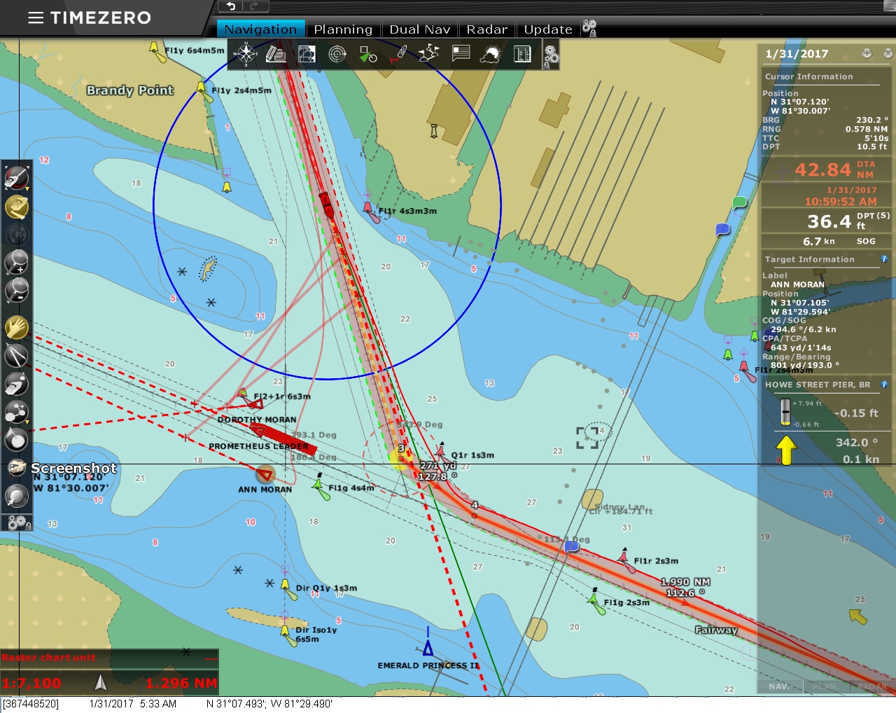 |
Prometheus Leader
Position: -81 29.55, 31 7.67
Shortly after we left the marina, the tugs Dorothy Moran and Ann Moran departed the dock and headed towards the F J Torras Causeway Bridge to meet the incoming 623ft (190m) RO/RO Prometheus Leader. At 1:10 into the video of our departure, one of the tugs can be seen leaving the dock in the distance on the left and crossing to the right. At 1:39 in the video, the lights of the Prometheus Leader come into view on the left as the ship passed under the F J Torras Causeway Bridge and crosses in front of us. And at 2:02 the Dorothy Moran is up against the ship’s bow. After we passed under the F J Torras Causeway Bridge ourselves, we passed the 350ft (107m) dredger Stuyvesant that we saw on the way into Brunswick a week earlier.
|
 |
Sunrise
Position: -81 19.36, 31 5.64
Sunrise as we’re almost through the channel from St. Simons Sound.
|
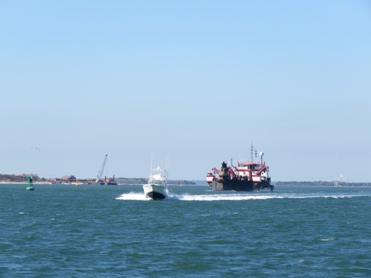 |
St Marys Entrance
Position: -81 25.40, 30 42.58
St Marys Entrance is a deep and wide ship channel that is easy to transit. But like many east coast channels, it only stays that way with a lot of dredging. Here we are passing the 295ft (90m) dredger Bayport as we enter.
|
 |
Coast Guard
Position: -81 27.62, 30 42.74
As we entered Cumberland Sound, we could see several Coast Guard vessels running at speed near the channel. It appeared they were practicing pursuit maneuvers where one boat would try to escape and the other would run it down.
|
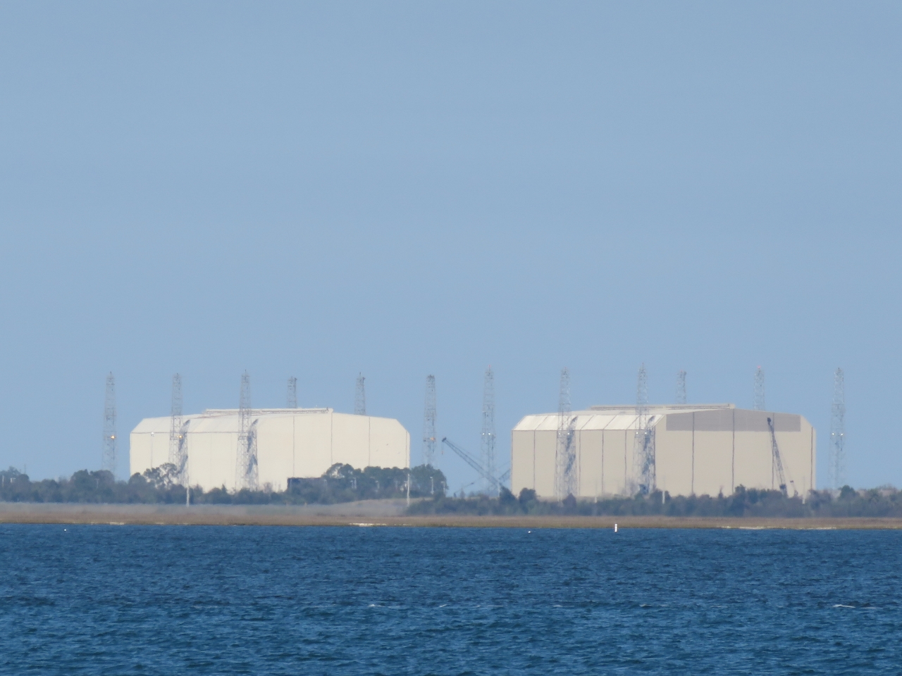 |
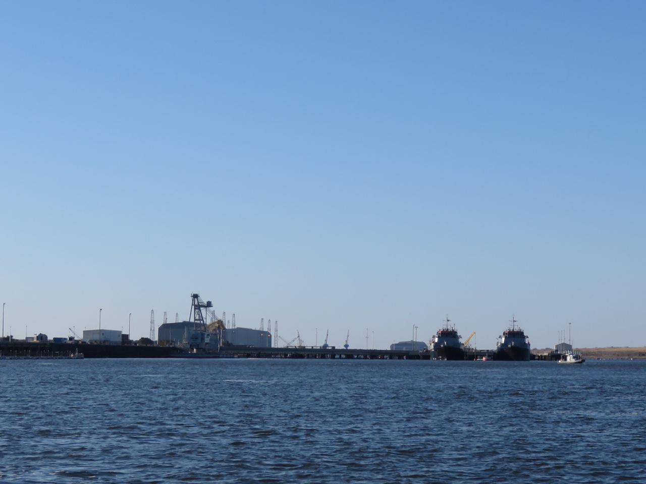
Kings Bay
Position: -81 29.03, 30 44.32
The 16,000-acre Naval Submarine Base Kings Bay is the east coast home to the US Navy’s Ohio-class nuclear submarines. The first Ohio-class submarines were based in the west coast counterpart in the Hood Canal at Bangor, Washington. We’ve passed by the Bangor base many time by boat. Inside these tall buildings 44ft (13.4m) Trident inter-continental ballistic missiles can be lifted vertically in and out of the submarines.
|
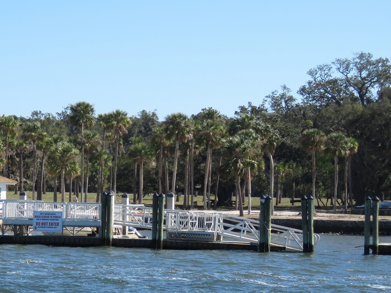 |
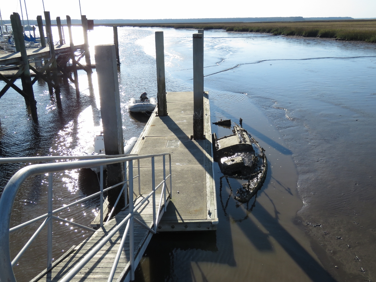
Dungeness Dock
Position: -81 28.52, 30 45.27
Ferries from nearby St. Marys typically land at Dungeness Dock to carry visitors to and from popular Cumberland Island National Seashore. But the dock is closed due to damage from Hurricane Mathew. The ramp at the right side of the picture should be attached to a floating dock, but is hanging into the water.
|
 |
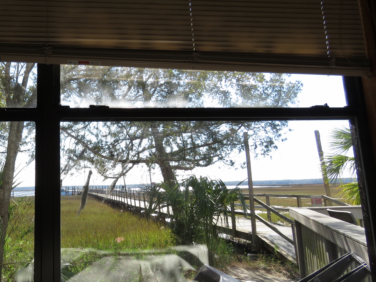
Lang’s Marina
Position: -81 33.15, 30 43.16
We ran the tender up St. Marys River to the town of St. Marys for lunch. Here it is tied off on the dinghy dock at Lang’s Marina.
|
 |
Lunch
Position: -81 33.12, 30 43.24
This is the view from our table at Lang’s Marina restaurant. We had great meal there.
|
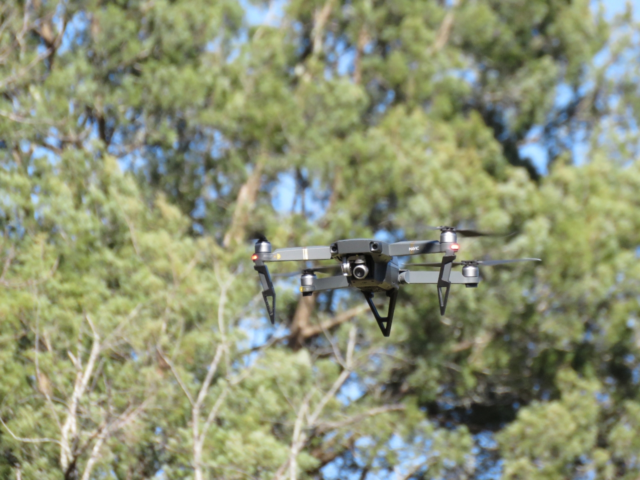 |
Mavic Pro
Position: -81 32.80, 30 43.21
While walking through a park at the east end of St. Marys we heard a drone and went to check it out. In our limited experience with flying drones, they require a fair bit of attention to control and what really caught our attention here was the person with the controls had his back to the drone and wasn’t even looking at it as the drone followed behind. It was a DJI Mavic Pro that had some really impressive features, including the ability to fold up into a small, portable package and a mode where you could set the drone to follow a certain object or person. We ordered one immediately.
|
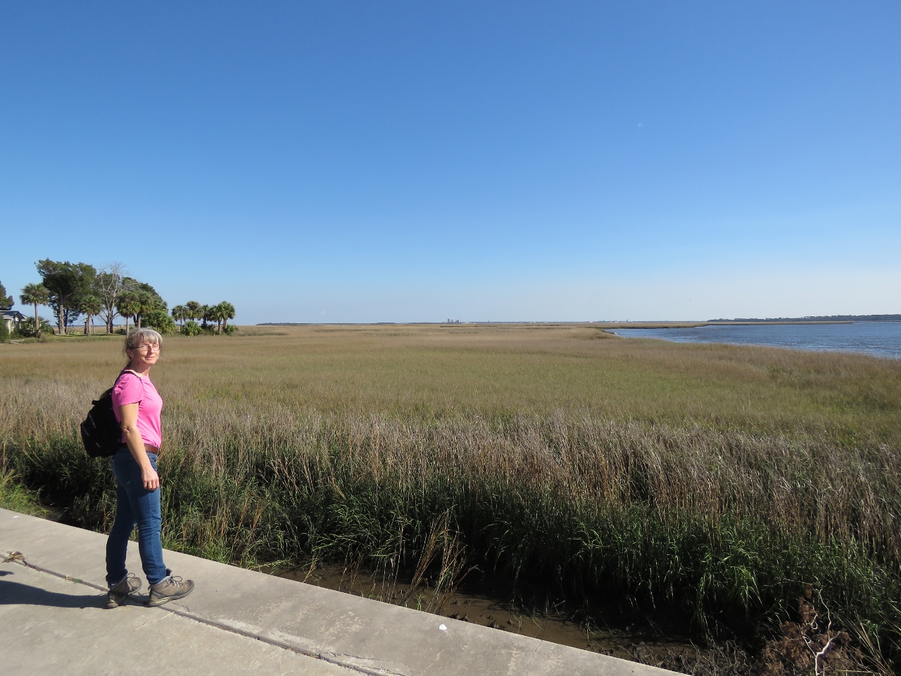 |
St. Marys River
Position: -81 32.74, 30 43.21
Looking east across the St. Marys River. The border between Georgia and Florida runs along the river. We’re standing in Georgia, but the land visible in the distance is in Florida.
|
|
|
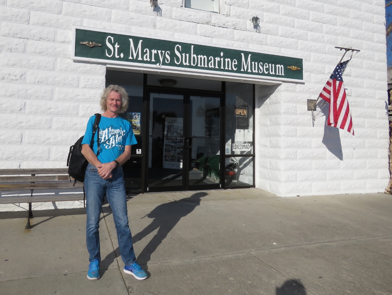
Submarine Museum
Position: -81 32.96, 30 43.23
The St. Marys Submarine Museum is packed with submarine memorabilia and many excellent photographs.
|
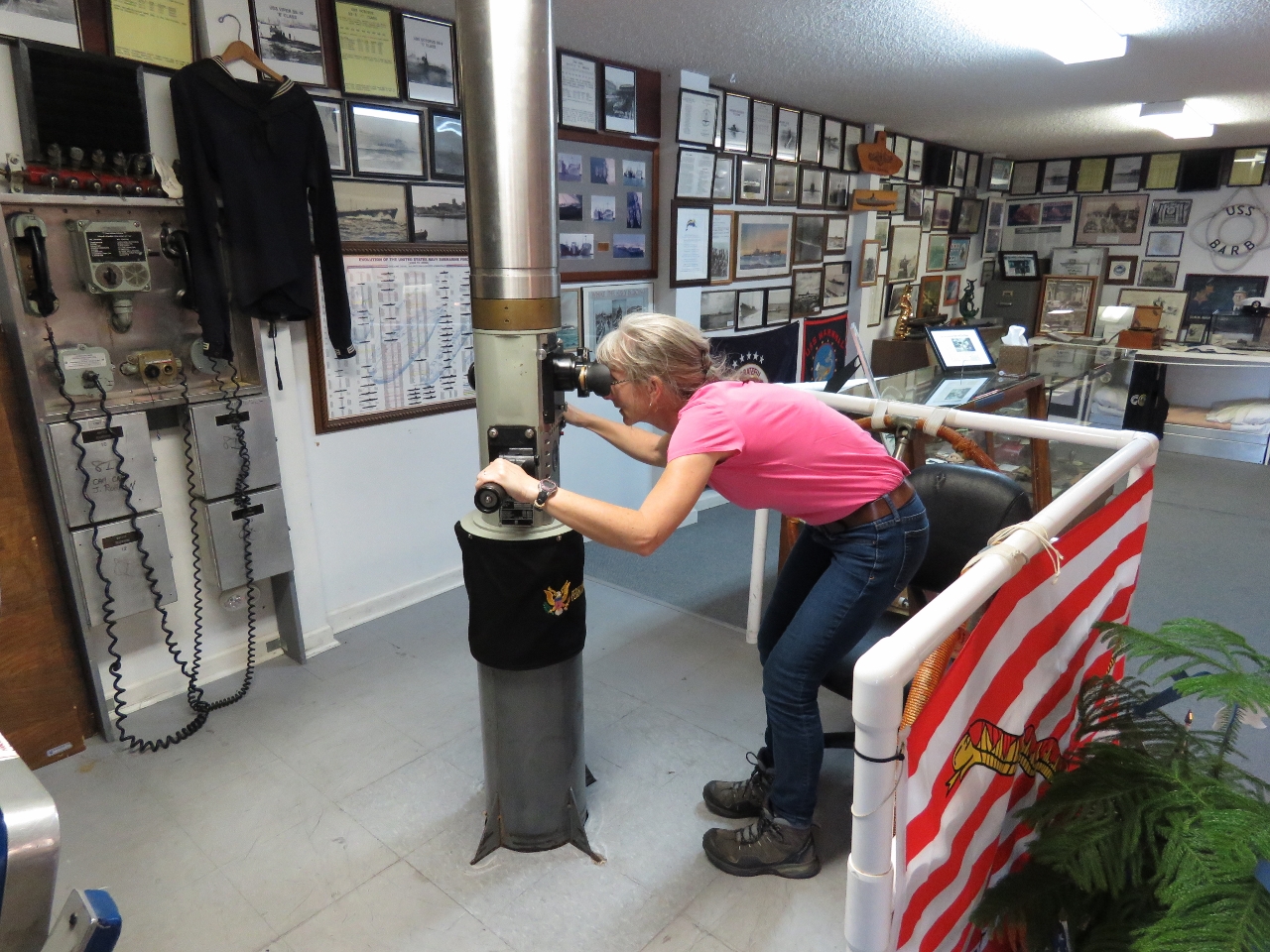 |
Periscope
Position: -81 32.95, 30 43.24
The pride of the St. Marys Submarine Museum is a working submarine periscope. Jennifer could clearly see the dinghy moored at Lang’s Marina at the west end of town.
|
 |
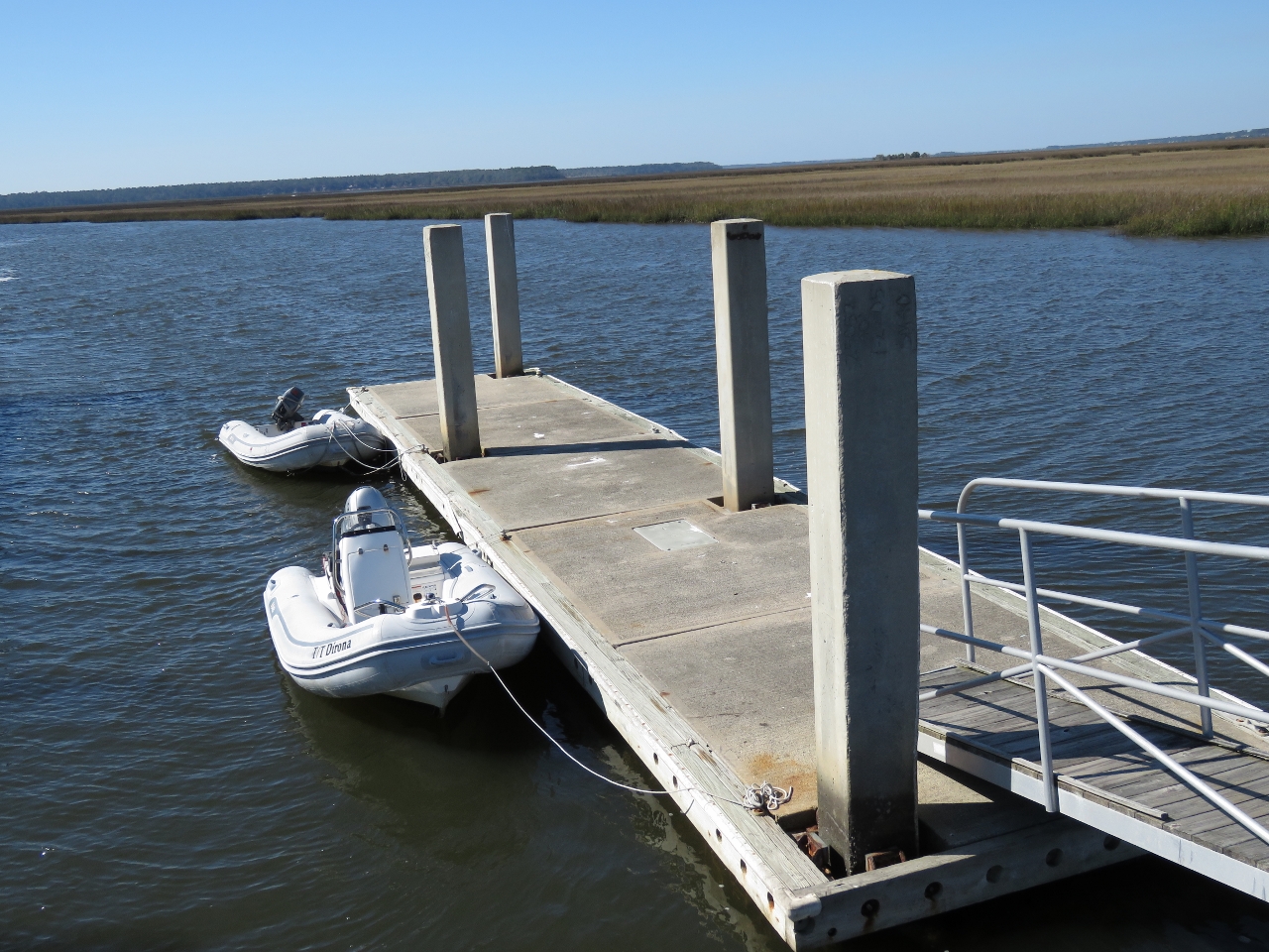
Low Tide
Position: -81 33.15, 30 43.15
Good thing we paid attention to the tides and moored the tender on the outside of the float. Had we tied off on the inside, we would be aground on this wreck that was invisible at high tide.
|
 |
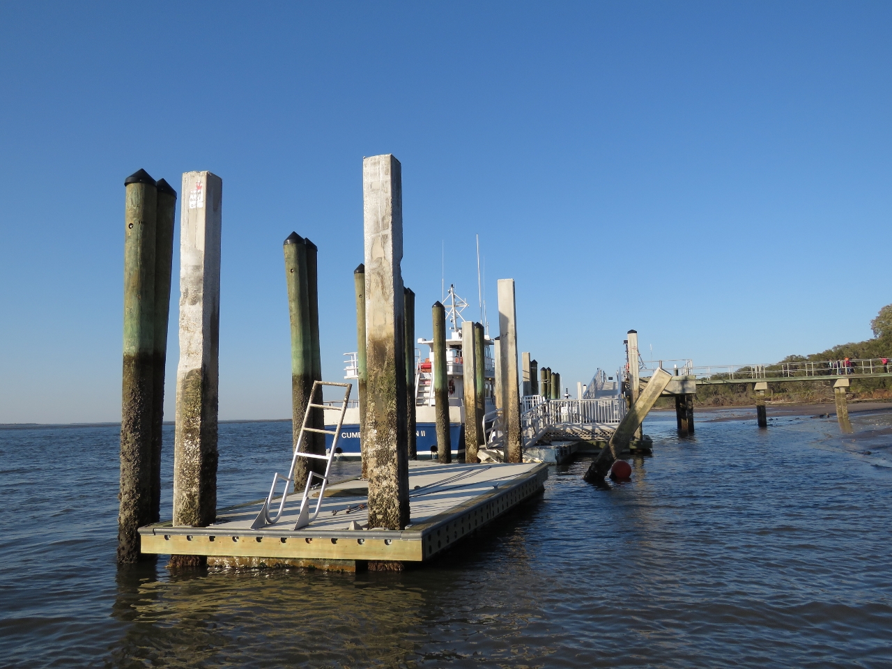
Patrol
Position: -81 29.45, 30 46.97
From St. Marys, we ran the tender to the Kings Bay Submarine Base, but couldn’t get very close. The Navy Patrol boat visible at the right of the picture made sure we kept our distance.
|
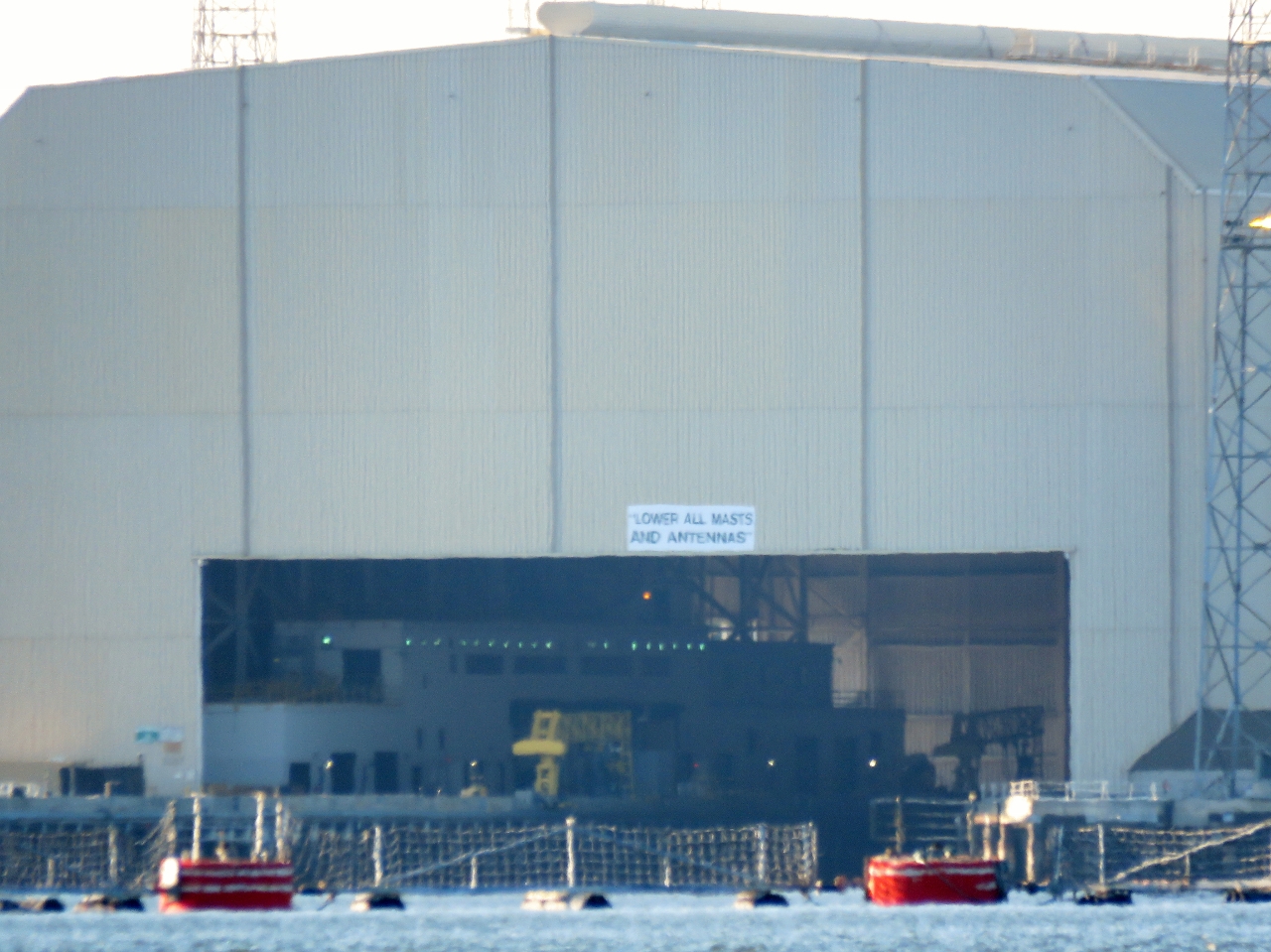 |
Submarine Building
Position: -81 29.55, 30 47.28
A long-lens close-up to one of the buildings where the 44ft (13.4m) Trident inter-continental ballistic missiles can be vertically lifted in and out of an Ohio-class submarine.
|
 |
Sea Camp Dock
Position: -81 28.29, 30 45.83
Sea Camp Dock on Cumberland Island is where pleasure craft operators usually can moor for access to the island. But the dock suffered damage in Hurricane Mathew and is temporarily the designated ferry dock, so no public access is allowed. The only dock where we can land a tender is miles to the north at Plum Orchard Dock.
|
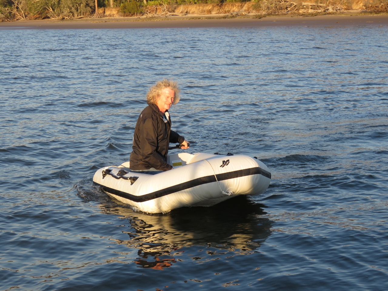 |
Micro-Tender
Position: -81 28.49, 30 45.37
Mudflats extend a long way from the beach at low tide, making landing the larger tender a challenge. So we got out the micro-tender to go ashore at Cumberland Island tomorrow. With a 29-lb, 2.3HP motor, the whole package weights just over 60 lbs. We can easily carry it between us to to and from the water in places where the tide goes out a long way.
|
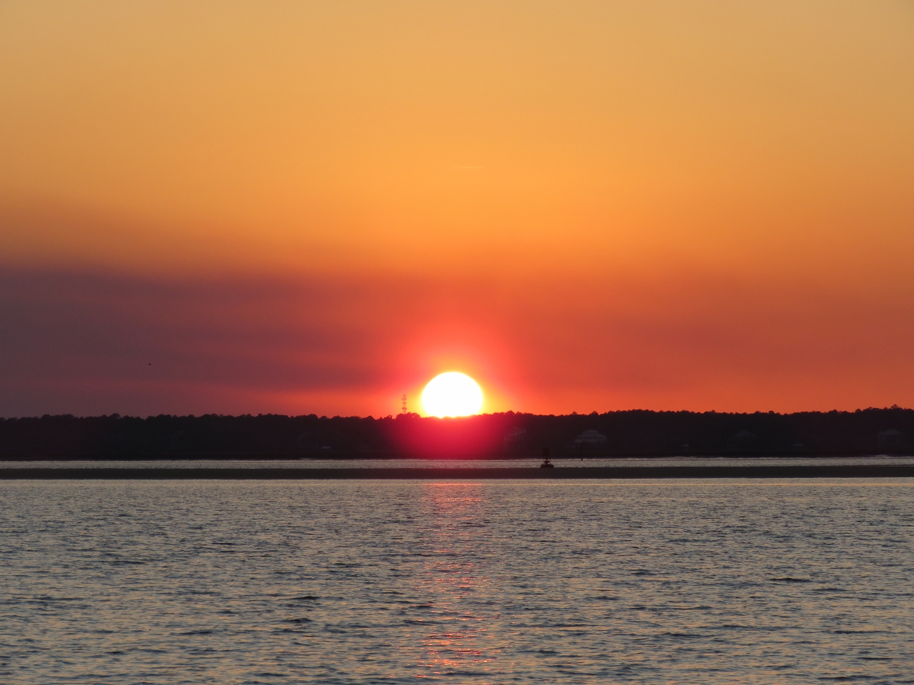 |
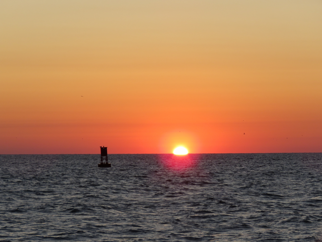
Sunset
Position: -81 28.49, 30 45.38
A beautiful sunset from the anchorage off Cumberland Island.
|

|
Click the travel log icon on the left to see these locations on a map, with the complete log of our cruise.
On the map page, clicking on a camera or text icon will display a picture and/or log entry for that location, and clicking on the smaller icons along the route will display latitude, longitude and other navigation data for that location. And a live map of our current route and most recent log entries always is available at http://mvdirona.com/maps. |
If your comment doesn't show up right away, send us email and we'll dredge it out of the spam filter.