From Piccaire we travelled around the east side of Long Island into Bay d’Espoir through scenic, but aquaculture-filled Little Passage. We stopped for the night at Jack Damp Cove with great views into Bay d’Espoir. The next day we ran through even more scenic Lampidoes Passage and anchored at beautiful and sheltered Middle Goblin Bay at the mouth of Northern Arm.
Trip highlights from August 11th and 12th follow. Click any image for a larger view, or click the position to view the location on a map. And a live map of our current route and most recent log entries always is available at http://mvdirona.com/maps
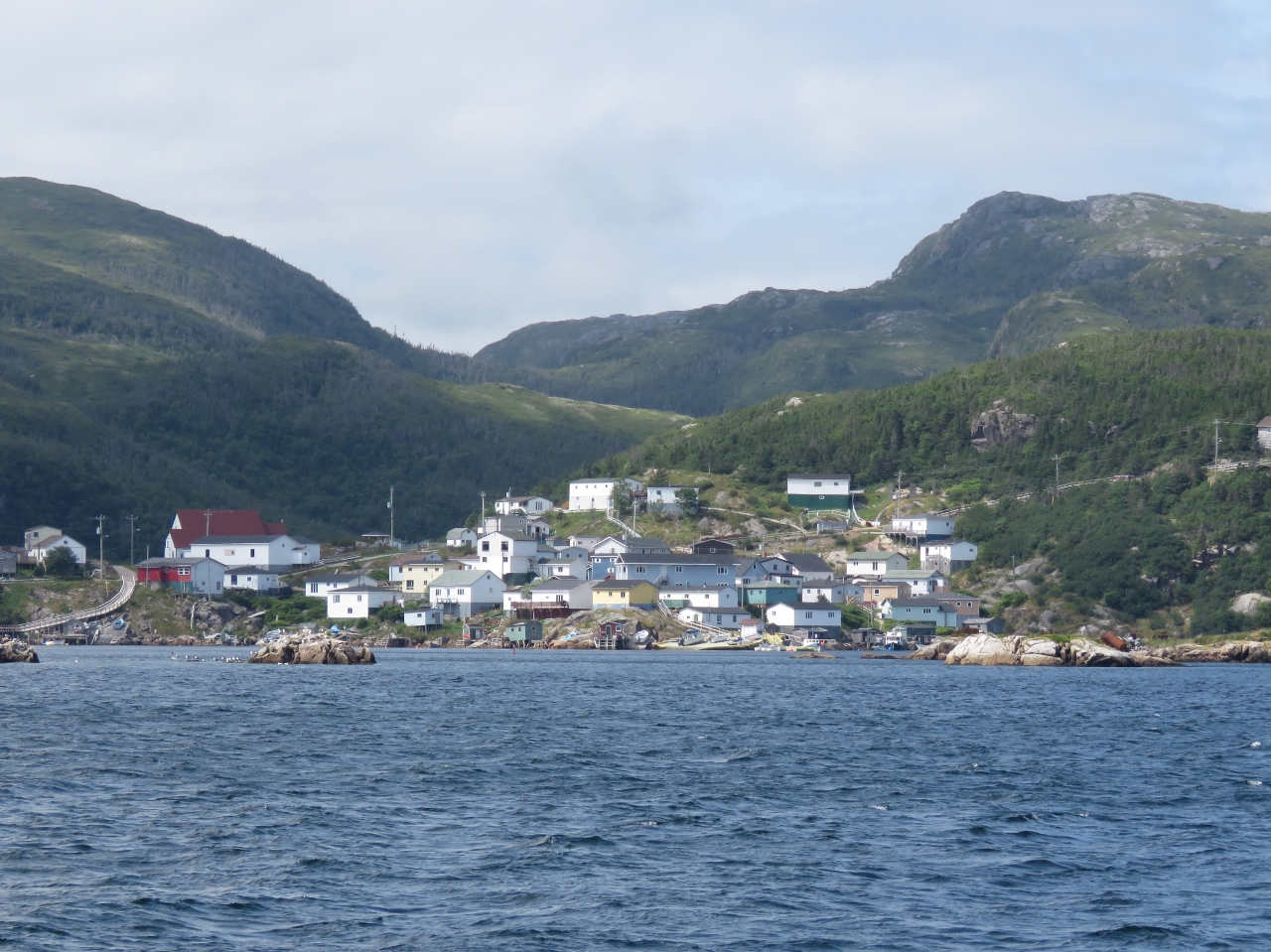 |
Gaultois
Position: -55 53.75, 47 36.14
The view to Gaultois from sea as we approach Little Passage. The houses on the hill are the same ones we photographed yesterday looking across their boat ramps.
|
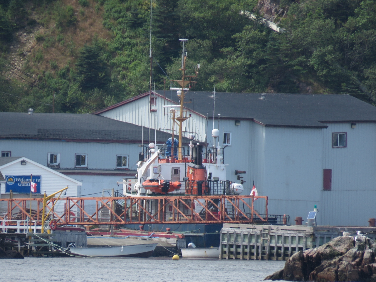 |
Terra Nova
Position: -55 53.75, 47 36.14
The Hermitage-Gaultois ferry MV Terra Nova docked at Gaultois. The ferry carries passengers and freight (no cars) between Hermitage and Gaultois several times a day, year-round.
|
|
|
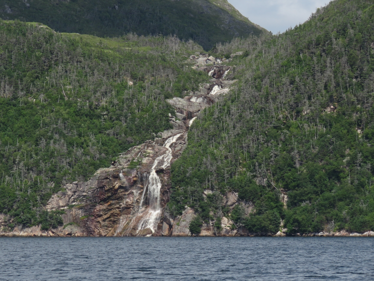
Waterfall
Position: -55 53.10, 47 37.39
This waterfall on the east side of Little Passage looks like it can really flow a torrent in the wetter spring season.
|
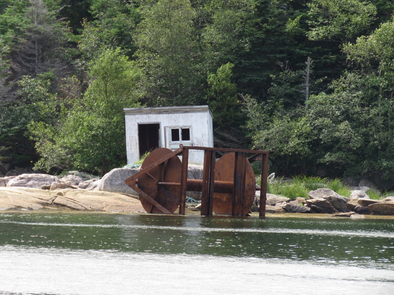 |
L’Anse a Flamme
Position: -55 53.55, 47 37.28
A small shack behind what looks like the spool from a fishing trawler at south end of L’Anse a Flamme cove along Little Passage. Aquaculture filled the north end of the cove.
|
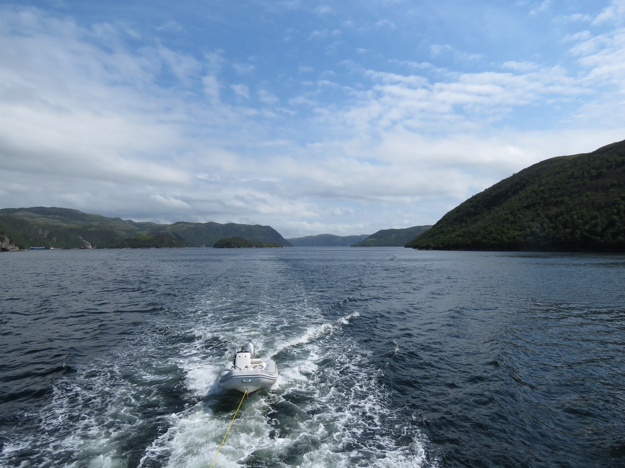 |
Little Passage
Position: -55 54.18, 47 37.99
The view looking south into Little Passage as we near Seal Cove. We generally don’t tow the tender, but have been in these sheltered waters to save a little time in transferring it back and forth from the boat deck.
|
 |
Cape Mark
Position: -55 52.46, 47 44.37
The light on the end of Cape Mark. We were considering anchoring in Little Passage, but most of the coves were filled with aquaculture. We did check out Cold Harbour as a potential anchorage, but it felt rather open and not very appealing.
|
 |
Jack Damp Cove
Position: -55 49.49, 47 46.76
We toured through Roti Bay looking for an anchorage, but as with Little Passage, most of the bay was filled with aquaculture. Strickland Cove along the southwest shore was open and could have worked, but didn’t hold enough appeal. We continued around to the east side of Riches Island and found an beautiful anchorage at Jack Damp Cove with a view north over several islets and reasonable southwesterly wind and wave protection.
|
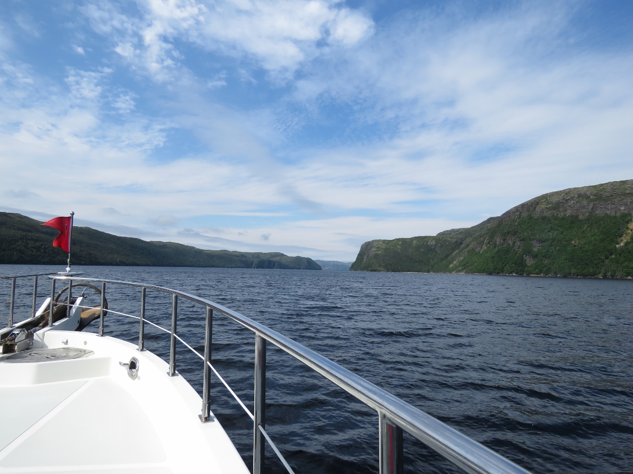 |
Lampidoes Passage
Position: -55 53.66, 47 46.12
Heading southwest through scenic Lampidoes Passage north of Bois Island.
|
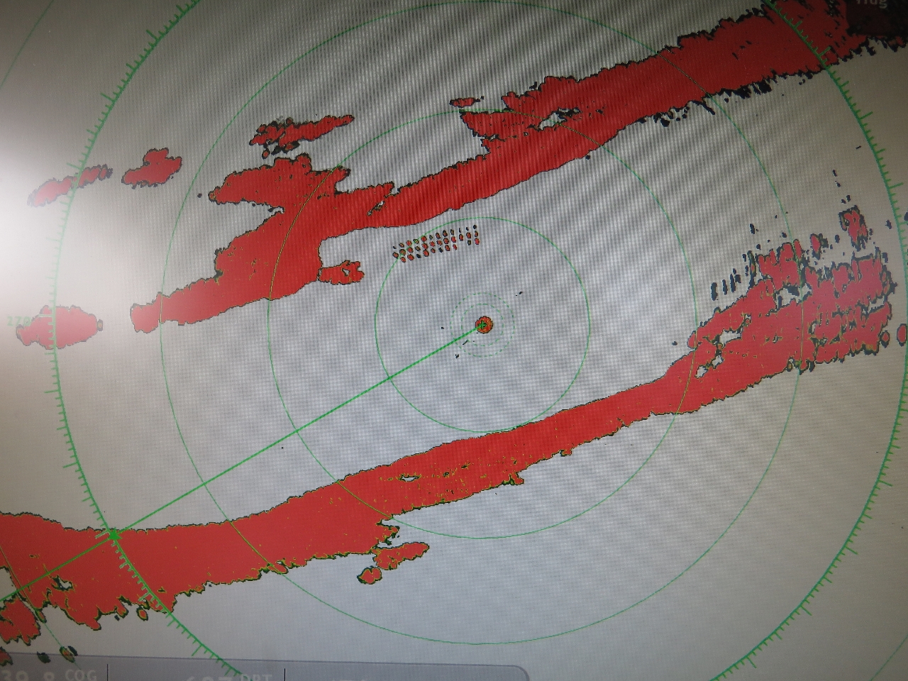 |
Radar
Position: -55 54.15, 47 45.93
Modern radar is just amazing. Each buoy on the fish farm to our north is clearly visible on the display.
|
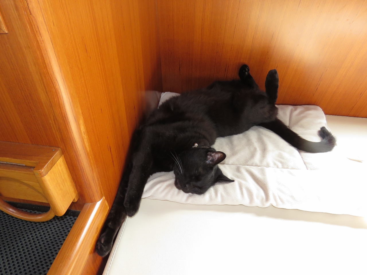 |
Relaxed
Position: -55 56.11, 47 45.62
Spitfire relaxing underway.
|
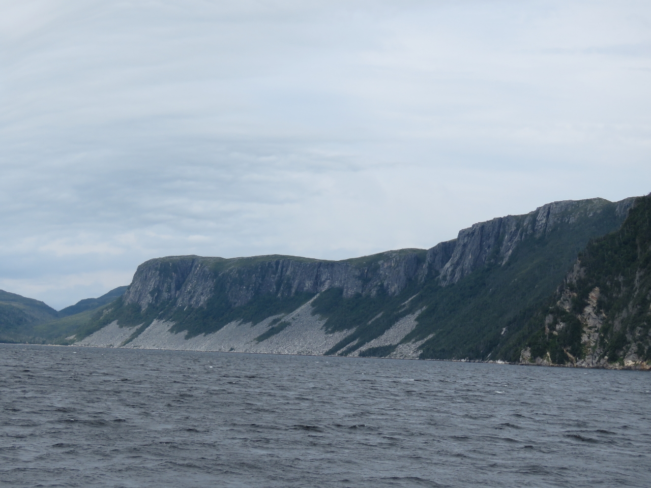 |
Bluffs
Position: -55 57.95, 47 45.46
The steep bluffs along the north shore of Lampidoes Passage have produced a lot of rock slides.
|
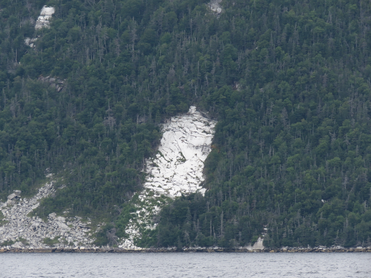 |
White rock
Position: -55 59.30, 47 44.88
From a distance these white rock deposits, possibly marble, look just like snow.
|
 |
Caves
Position: -56 3.67, 47 41.63
As we approach Goblin Head, the shoreline to our north is riddled with caves.
|
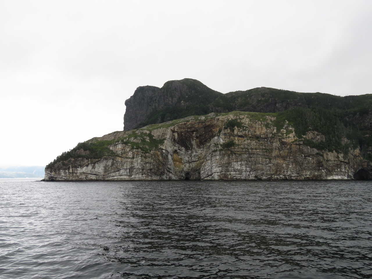 |
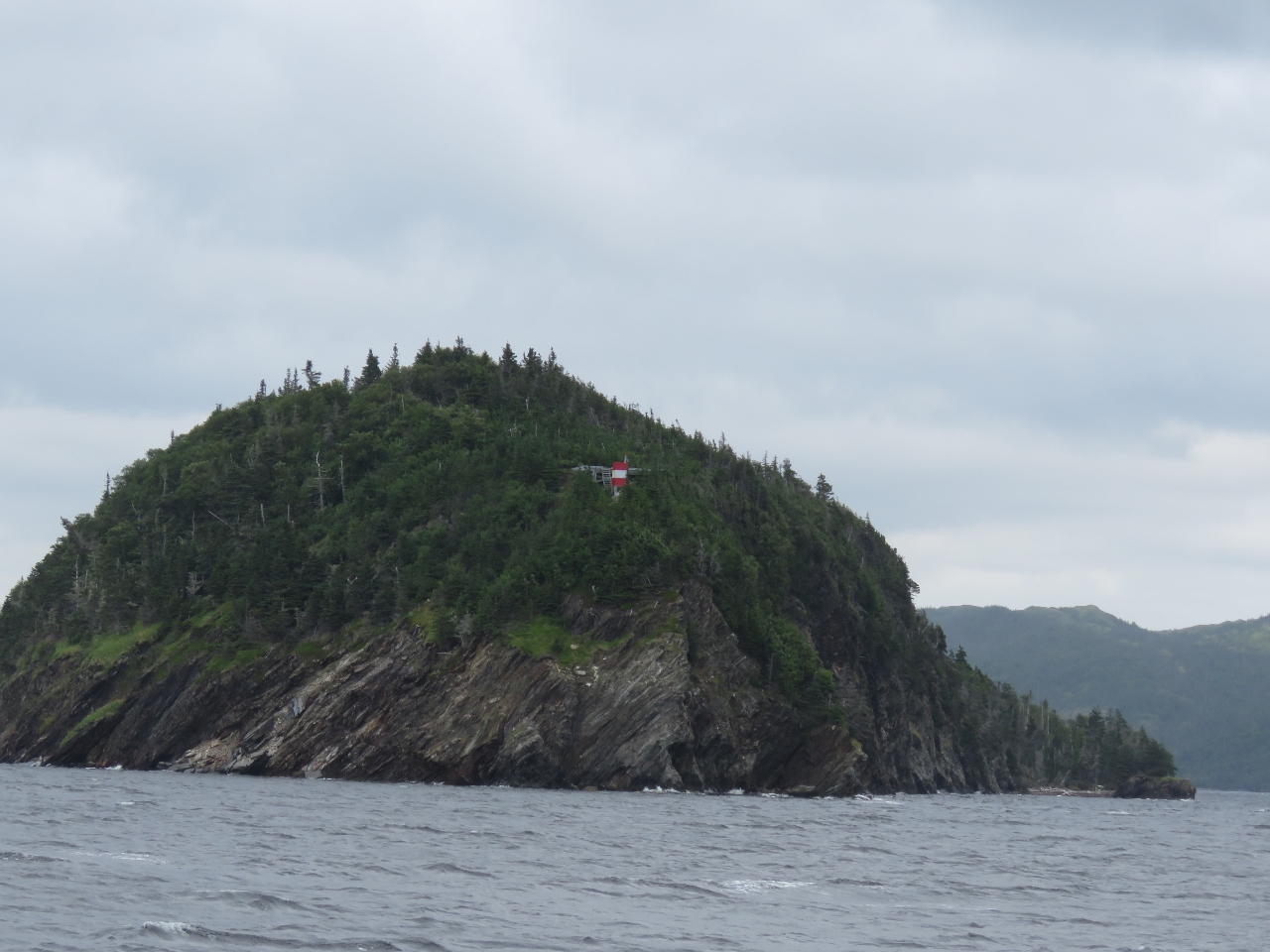
Goblin Head
Position: -56 6.69, 47 41.31
Goblin Head soars several hundred feet straight up.
|
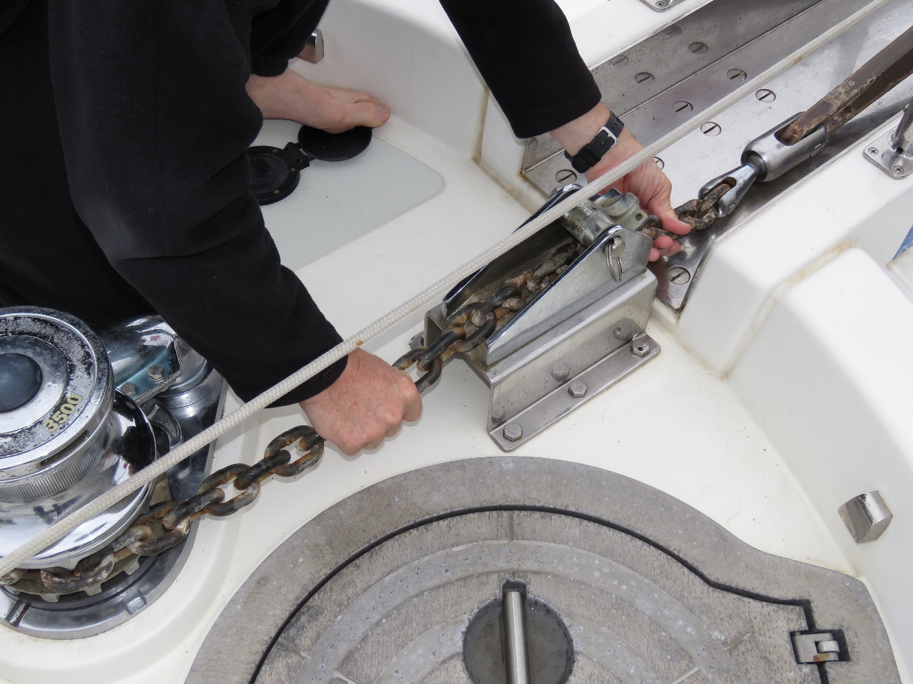 |
Anchor chain
Position: -56 7.24, 47 41.46
Our anchor chain had developed a twist in it, so James spun the twist out. He also lubricated the anchor swivel that connects the anchor to the chain so that it will spin more freely. We’ve used the same Ultra Swivel since getting the boat and have been quite happy with it.
|
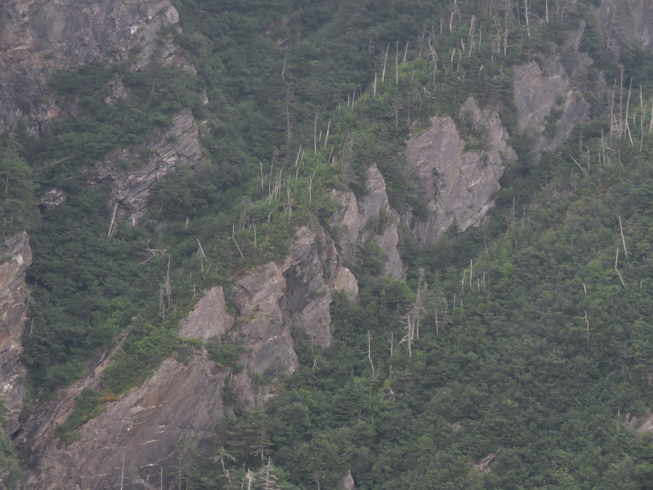 |
Goblins
Position: -56 7.40, 47 41.69
We’d read that “The Goblins” were a series of cuts into the rock on the eastern side of Northern Arm. We couldn’t see anything obvious, but perhaps this diagonal line of cuts in Goblin Head with a face-like appearance are them.
|
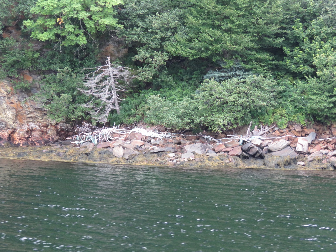 |
Line
Position: -56 5.38, 47 43.15
We considered anchoring along the north short of Little Harbour, but the depths there were much deeper than charted. We noticed two long lines a distance apart alongshore and guessed that someone ties their boat by the bow and stern, parallel to shore, to hide from big storms.
|
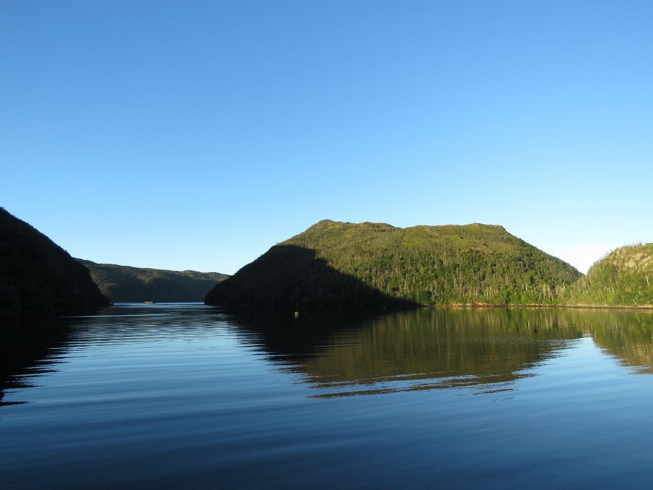 |
Middle Goblin Bay
Position: -56 6.10, 47 43.21
We ended up finding a great anchorage in Middle Goblin Bay. A mooring buoy had been installed near the entrance, but we still had just enough room to swing in 71ft with 225ft of rode out. This is much less scope (ratio of anchor rode deployed to depth) than we normally use, but the holding was excellent. Visibility worsened in the evening to where we could hardly see beyond the cove entrance, but was sunny and clear the next morning. The entrance to the cove, to our south, is at the left of the photo.
|

|
Click the travel log icon on the left to see these locations on a map, with the complete log of our cruise.
On the map page, clicking on a camera or text icon will display a picture and/or log entry for that location, and clicking on the smaller icons along the route will display latitude, longitude and other navigation data for that location. And a live map of our current route and most recent log entries always is available at http://mvdirona.com/maps. |
If your comment doesn't show up right away, send us email and we'll dredge it out of the spam filter.