Point Ruston in Tacoma, the inspiration for Frank Herbert’s epic science-fiction novel Dune, was once one of the most polluted superfund sites in the world. In writing the first best-selling science-fiction novel with an environmental theme, Tacoma-born Herbert was influenced by the foul-smelling smoke that spewed from the ASARCO copper smelter at Point Ruston.
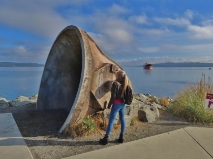
After several decades of cleanup, the area has recently been redeveloped with restaurants, apartments, waterfront parks, public art and hotels. Little evidence remains of the once-toxic site, save for some interpretive signs and a few artifacts from the plant, such as the molten metal ladle pictured above.
In late October, we made the hour’s drive south from Seattle to spend the weekend at Point Ruston. We stayed at the new Silver Cloud Hotel, in a room with sweeping views to Commencement Bay and over Dune Peninsula Park, named in honor of Frank Herbert. We really enjoyed our visit, and spent our time sampling the local restaurants, walking the waterfront parks, enjoying the public art, and taking in those great views to Commencement Bay.
Below are highlights from October 22 and 23rd, 2022. Click any image for a larger view, or click the position to view the location on a map. And a map with our most recent log entries always is available at mvdirona.com/maps.
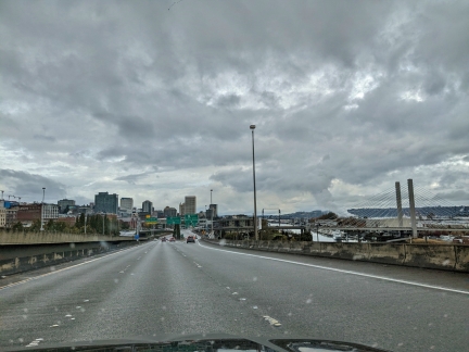 |
Tacoma
Position: 47°14.37’N, -122°25.96’W
Arriving into Tacoma, about an hour’s drive south of Seattle by car, for a weekend at Point Ruston.
|
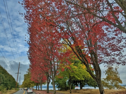 |
Fall Colors
Position: 47°17.40’N, -122°29.54’W
Bright red fall colors in the trees along Ruston Way.
|
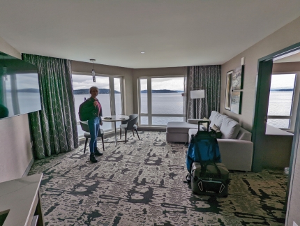 |
Silver Cloud Hotel
Position: 47°18.06’N, -122°30.35’W
Our room at the new Silver Cloud Hotel at Point Ruston, with a great view to Commencement Bay.
|
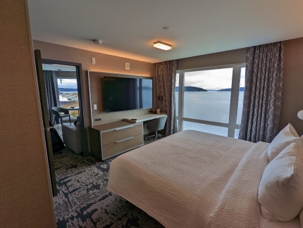 |
Bedroom
Position: 47°18.06’N, -122°30.35’W
The bedroom in our hotel room at the Silver Cloud has a pretty nice view too.
|
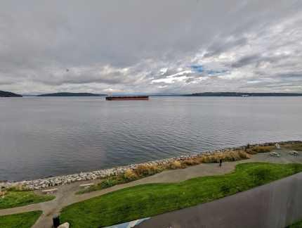 |
Cymona Gemini
Position: 47°18.05’N, -122°30.35’W
The bulker Cymona Gemini moored in Commencement Bay, viewed from our room at the Silver Cloud hotel at Point Ruston.
|
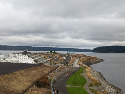 |
Point Ruston
Position: 47°18.05’N, -122°30.35’W
Looking west along Point Ruston with the Tacoma Yacht club at left and a ferry arriving from Vashon Island in the distance.
|
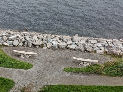 |
Cleat Seat
Position: 47°18.05’N, -122°30.35’W
We loved the cleat-shaped seats along the Point Ruston waterfront promenade.
|
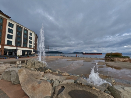 |
Ruston Spraypark
Position: 47°18.00’N, -122°30.32’W
The fountains at the Ruston Spraypark in front of our hotel. The entire area was once an industrial site and over the past decade or so has been developed with restaurants, apartments, waterfront parks and hotels.
|
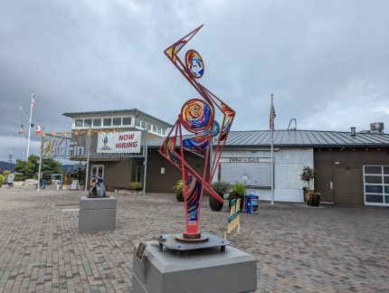 |
Ole
Position: 47°17.98’N, -122°30.30’W
The sculpture Olé by artists John Casey and Anita Schuller is one of many public art display at Point Ruston.
|
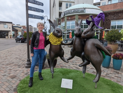 |
Hip-Hop
Position: 47°17.93’N, -122°30.28’W
Jennifer and the bunnies in the statue Hip-Hop by Georgia Gerber at Point Ruston.
|
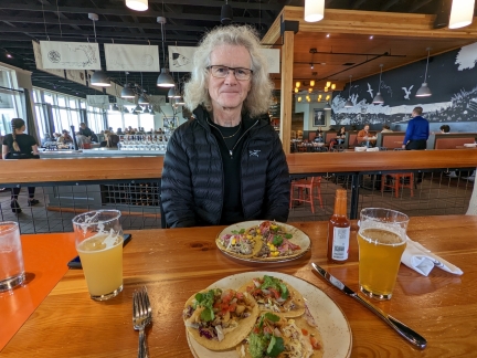 |
WildFin
Position: 47°17.99’N, -122°30.29’W
Yummy street tacos for lunch at WilfFin Grill along the waterfront at Point Ruston.
|
 |
Port of Tacoma
Position: 47°18.00’N, -122°30.29’W
The view southeast to the Port of Tacoma from Point Ruston.
|
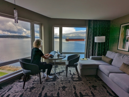 |
The Office
Position: 47°18.05’N, -122°30.35’W
James getting a little work done before dinner in our weekend hotel room.
|
 |
RORO
Position: 47°18.05’N, -122°30.35’W
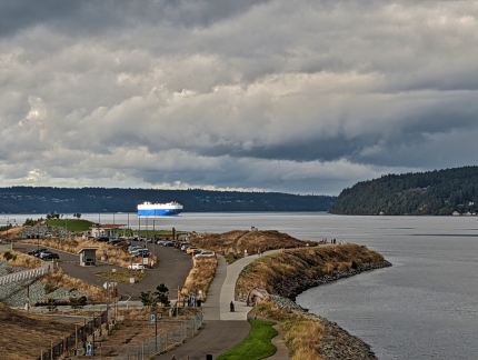
A RORO (roll-on/roll-off) vehicle-carrying ship arriving into the Port of Tacoma.
|
 |
Jet Skis
Position: 47°18.05’N, -122°30.35’W
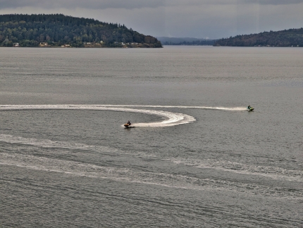
Jet skis at play in Commencement Bay off our hotel room.
|
 |
Copper & Salt
Position: 47°18.03’N, -122°30.32’W
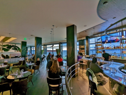
We stopped for a drink in bar at the hotel restaurant, Copper & Salt, before dinner. It has a great view to Commencement Bay.
|
 |
BoRan
Position: 47°17.99’N, -122°30.34’W
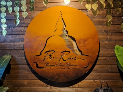
At BoRan across the road from our hotel to pick up some take-out Thai food to enjoy in our room.
|
 |
Dusk
Position: 47°17.99’N, -122°30.34’W
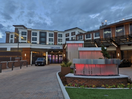
Fountains lighting up the entrance to our Point Ruston hotel at dusk.
|
 |
Cymona Gemini
Position: 47°18.04’N, -122°30.32’W
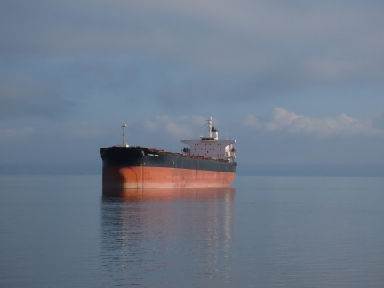
The bulker Cymona Gemini still moored in Commencement Bay as we head out for a walk around Point Ruston on Sunday morning.
|
 |
Ladle
Position: 47°18.14’N, -122°30.40’W
A molten metal ladle from the old ASARCO copper smelting plant at Point Ruston.
|
 |
Frank Herbert Trail
Position: 47°18.20’N, -122°30.44’W
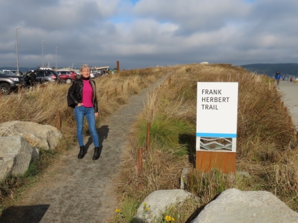
Point Ruston was once one of the most polluted superfund sites in the world and was the inspiration for Tacoma-born author Frank Herbert’s epic science-fiction novel Dune. In writing the first best-selling science-fiction novel with an environmental theme, Herbert was influenced by the foul-smelling smoke that spewed from the ASARCO smelter.
|
 |
Dune Peninsula Park
Position: 47°18.28’N, -122°30.49’W
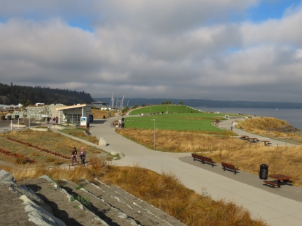
Looking west along Dune Peninsula Park, named in honor of local author Frank Herbert.
|
 |
Tacoma Yacht Club
Position: 47°18.34’N, -122°30.60’W
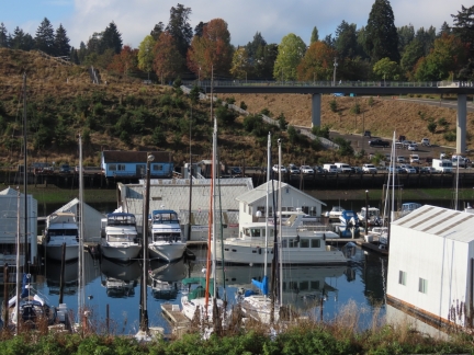
The main facilities of the Tacoma Yacht Club, established in 1890.
|
 |
Lunch
Position: 47°16.79’N, -122°28.48’W
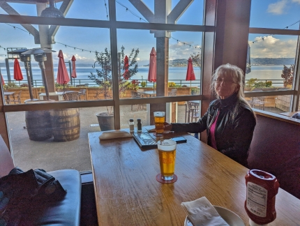
Lunch along the water at RAM Brewery on our way back home to Seattle. We used to come here often a couple of decades ago after scuba diving in the area.
|
 |
Click the travel log icon on the left to see these locations on a map. And a map of our most recent log entries always is available at mvdirona.com/maps. |

I grew up in Tacoma and my first jobs were in the maritime industrial areas and, as a highschooler, frequented Ruston. I moved away to the desert southwest many years ago but remember ASARCO in operation all the way to when the smokestack was demolished. And honking all the way through the tunnel that connected Ruston way to the Point Defiance area.
The area has changed for the better and is now a beautiful escape. I enjoy seeing the changes when I come to visit.
It’s not often you see a superfund site transformed to a beautiful resort community. We love it today and we like it’s history as well. Thanks for passing along your first hand experiences.