The hike to Granite Mountain Lookout is not far at just under four miles (6.2 km) one-way. But with an altitude gain of 3,738 ft (1,139 m), a maximum grade of 39%, and an average grade of 18%, the hike is considered challenging. The trail is very popular though, with wonderful scenery along the way. And the summit has sweeping views, particularly northeast to the dramatic peaks of the Alpine Lakes Wilderness and south across the Cascade Range to Mt. Rainier and beyond.
We did the hike early on a Sunday that started out foggy but ended up clear and sunny. We enjoyed the walk through the cooler woods at the start, then popped out into the sunshine above the cloud line for ever-improving views as we continued to ascend. We first glimpsed the lookout about three-quarters of the way up and gradually closed in on it for the last mile of hiking.
The views from the summit were exceptional. Mt. Rainier dominated the sky to the south and we especially enjoyed the view to the craggy tooth of Kaleeten Peak that we’d seen earlier in the year, covered in snow, when we snowshoed to Skyline Lake.
Below are highlights from Aug 28, 2022. Click any image for a larger view, or click the position to view the location on a map. And a map with our most recent log entries always is available at mvdirona.com/maps.
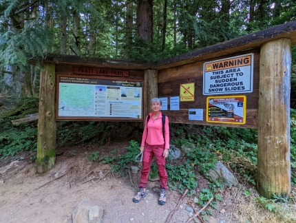 |
Granite Mountain Trailhead
Position: 47°23.87’N, -121°29.18’W
At the trailhead for the Granite Mountain Lookout just west of Snoqualmie Pass at altitude 1,805 ft (550 m). The hike is popular, so we’ve arrived shortly before 7:30am to be sure to get a parking spot.
|
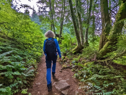 |
Trail
Position: 47°24.01’N, -121°28.83’W
Walking through shady woods along the wide and well-maintained trail to the Granite Mountain Lookout.
|
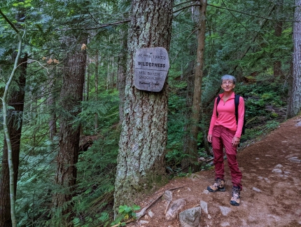 |
Alpine Lake Wilderness
Position: 47°24.13’N, -121°29.03’W
We’ve just crossed into the Alpine Lakes Wilderness, a 414,161-acre (167,605 ha) protected area within the Mt. Baker-Snoqualmie and Wenatchee national forests. It is one of the most popular outdoor recreation areas in the state, with over 150,000 visitors per year, despite the fact that no motorized or mechanical transport is allowed within a Wilderness area, including bicycles.
|
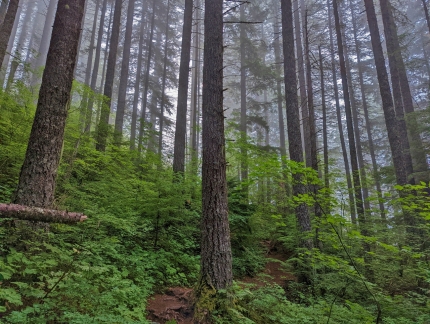 |
Woods
Position: 47°24.36’N, -121°28.85’W
The trail to Granite Mountain ascends quickly. In a half-hour we’ve already gained 1,300 ft (400m) and are hitting the cloud line at altitude 3,102 ft (946 m).
|
 |
Clouds
Position: 47°24.43’N, -121°28.79’W
Not much of a view at altitude 3,214 ft (980 m), but we expect it will clear later in the day.
|
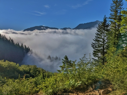 |
Above Clouds
Position: 47°24.49’N, -121°28.83’W
Getting above the clouds at altitude 3,413 ft (1,040 m) on the trail to Granite Mountain.
|
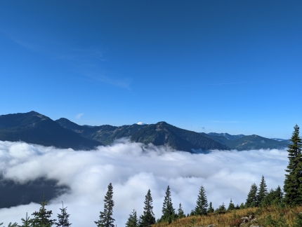 |
Valley
Position: 47°24.60’N, -121°28.17’W
Clouds still fill the I-90 corridor, but we’re well above them now at altitude 4,347 ft (1,325 m) and can see a bit of Mt. Rainier in the distance.
|
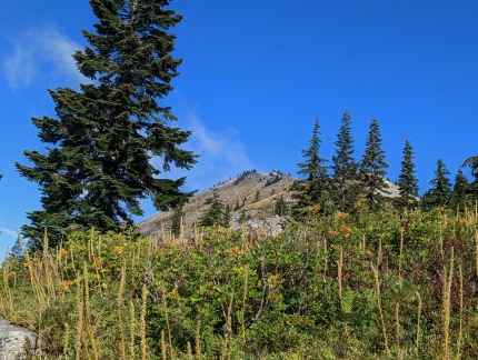 |
Destination
Position: 47°24.72’N, -121°28.20’W
Our destination, the Granite Mountain Lookout, visible in the distance. We’ve got to ascend another 878 ft (247m) to reach it though (click image for a larger view).
|
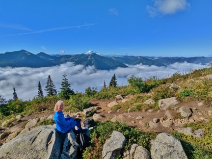 |
Snack
Position: 47°24.80’N, -121°28.39’W
Taking a break for a snack with a view to Mt. Rainier at altitude 4,813 ft (1,467 m).
|
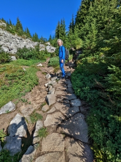 |
Stepping Stones
Position: 47°24.92’N, -121°28.46’W
Stepping stones along a newly-completed section of the trail.
|
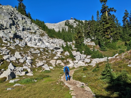 |
Ever Closer
Position: 47°24.98’N, -121°28.66’W
We’re getting ever closer to the lookout, but still have another 380 feet (115m) of altitude gain to reach it.
|
 |
Break
Position: 47°25.08’N, -121°28.82’W
Taking a break at altitude 5,368 ft (1,637 m). The climb is quite steep and tiring in today’s hot weather.
|
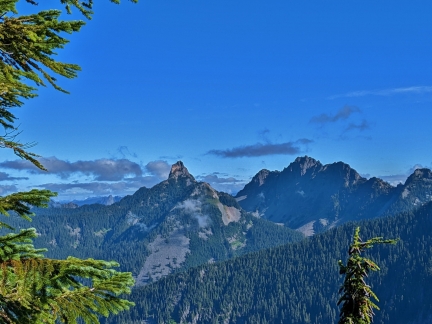 |
Kaleeten Peak
Position: 47°25.08’N, -121°28.84’W
The craggy tooth of Kaleeten Peak to our north. We got a closer view to this mountain, covered in snow, when we snowshoed to Skyline Lake earlier in the year.
|
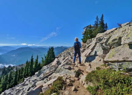 |
Almost There
Position: 47°25.05’N, -121°28.87’W
We’re near the bottom of the lookout now and almost at the top of Granite Mountain.
|
 |
View West
Position: 47°25.03’N, -121°28.87’W
The sweeping view west from Granite Mountain. I-90 is visible at left and right, and Mt. Rainier is prominent in the distance at right.
|
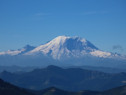 |
Mt. Rainier
Position: 47°25.03’N, -121°28.87’W
We can never get too many pictures of or views to Mt. Rainier.
|
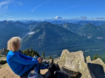 |
Enjoying View
Position: 47°25.03’N, -121°28.87’W
Enjoying the view from beneath the Granite Mountain Lookout.
|
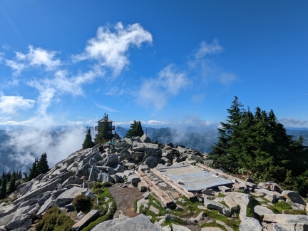 |
Summit
Position: 47°25.06’N, -121°28.88’W
The view west to the lookout from the summit of Granite Mountains. Whisps of clouds are starting to drift in.
|
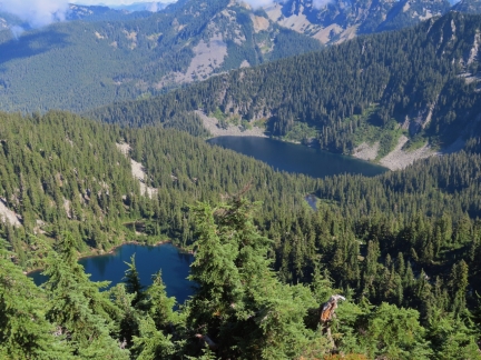 |
Granite Mountain Lakes
Position: 47°25.05’N, -121°28.89’W
Two of the Granite Mountain Lakes, Crystal in the foreground and Tuscohatchie beyond, viewed from Granite Mountain.
|
 |
View East
Position: 47°25.05’N, -121°28.88’W
Another sweeping view from Granite Mountain, this one to the northeast across the Alpine Lakes Wilderness (click image for a larger view).
|
 |
Descending
Position: 47°25.01’N, -121°28.86’W
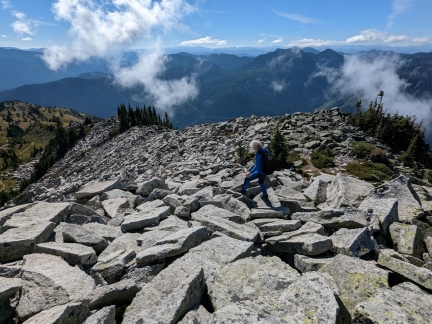
Descending from Granite Mountain on the old trail along a rock scree.
|
 |
Looking Back
Position: 47°24.96’N, -121°28.76’W
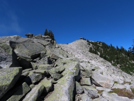
A final view to the lookout as we descend.
|
 |
Trail Up
Position: 47°24.95’N, -121°28.71’W
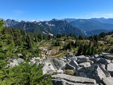
Looking down from the old trail to the newer trail that we followed to reach the lookout.
|
 |
Parking Lot
Position: 47°23.93’N, -121°29.20’W
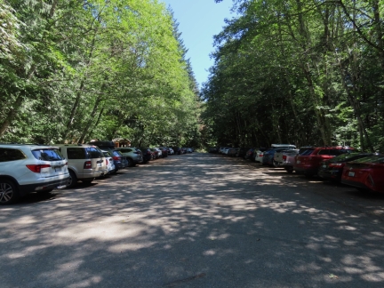
The parking lot was pretty empty when we arrived at 7:30 this morning, but getting quite full by the time we returned five hours later.
|
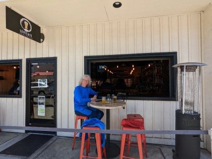 |
Levitate
Position: 47°31.94’N, -122°2.20’W
Cold beer and a great lunch streetside at Levitate Gastropub in Issaquah after our hike up Granite Mountain.
|
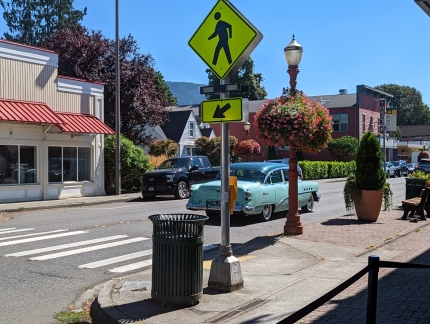 |
Classic Car
Position: 47°31.94’N, -122°2.20’W
A group of classic cars paraded down Front Street in Issaquah as we had lunch at Levitate Gastropub.
|
 |
Click the travel log icon on the left to see these locations on a map. And a map of our most recent log entries always is available at mvdirona.com/maps. |

Nice views