
Trondheim was Norway’s capital during the Viking era and currently is the country’s third-largest city with a population of just under 200,000. Our arrival there represented the mid-way point of our six-month trip through Norway, where we would return to Seattle for a couple of weeks before continuing south to explore the rest of the west coast.
We arrived in Trondheim after a 185-nm, 3-night run from Svartisen Glacier through Norway’s sheltered inner lead. During the trip, we passed south of the Arctic Circle, nearly two months after first crossing en route to Røst from Træna. It’s been a fabulous adventure so far and we’re looking forward to the second half.
Below are trip highlights from July 7th to 10th en route to and in Trondheim, Norway. Click any image for a larger view, or click the position to view the location on a map. And a live map of our current route and most recent log entries always is available at mvdirona.com/maps
 |
Vesterålen
Position: 66°36.80’N, 13°3.99’E
The Hurtigruten Vesterålen running north.
|
 |
Arctic Circle
Position: 66°34.06’N, 13°4.34’E
We’ve been north of the Arctic Circle (the yellow line on the chart) for nearly two months north, after first crossing en route to Røst from Træna. What a fabulous adventure.
|
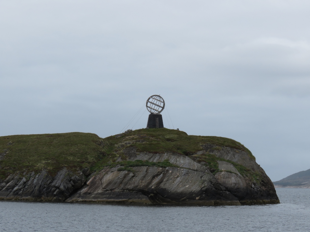 |
Arctic Circle Monument
Position: 66°31.92’N, 12°58.52’E
An Arctic Circle Monument, similar to the one on Træna, for those in the inner lead route north.
|
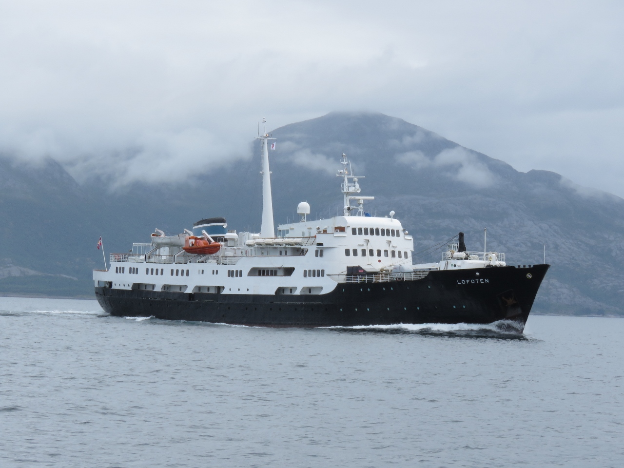 |
Lofoten
Position: 66°17.15’N, 12°55.13’E
The Hurtigruten Lofoten heading south. We ended up seeing the ship two more times today as they made stops and we caught up again.
|
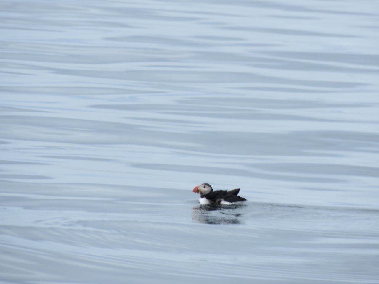 |
Puffin
Position: 66°10.11’N, 12°50.00’E
We’re southwest of the island of Lovund, a major puffin breeding ground, and spotted one in the water.
|
 |
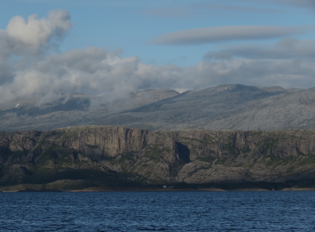
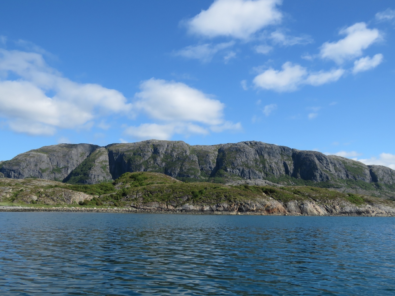
Seven Sisters
Position: 65°58.81’N, 12°28.59’E
The 1,000m Seven Sisters mountain range. It’s hard to believe we hiked even higher than that, to 1545m on Helgelandsbukken.
|
 |
Hamnøya
Position: 65°40.17’N, 12°10.56’E
The view east to the island of Hamnøya and the mountains beyond from our anchorage off Vega. We passed just west of this anchorage on our route north two months ago, but we’ve yet to actually intersect.
|
 |
Vega
Position: 65°40.17’N, 12°10.53’E
View west from the anchorage to the ferry docked at Vega as we get underway just after 5am.
|
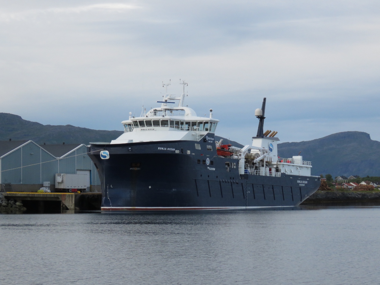 |
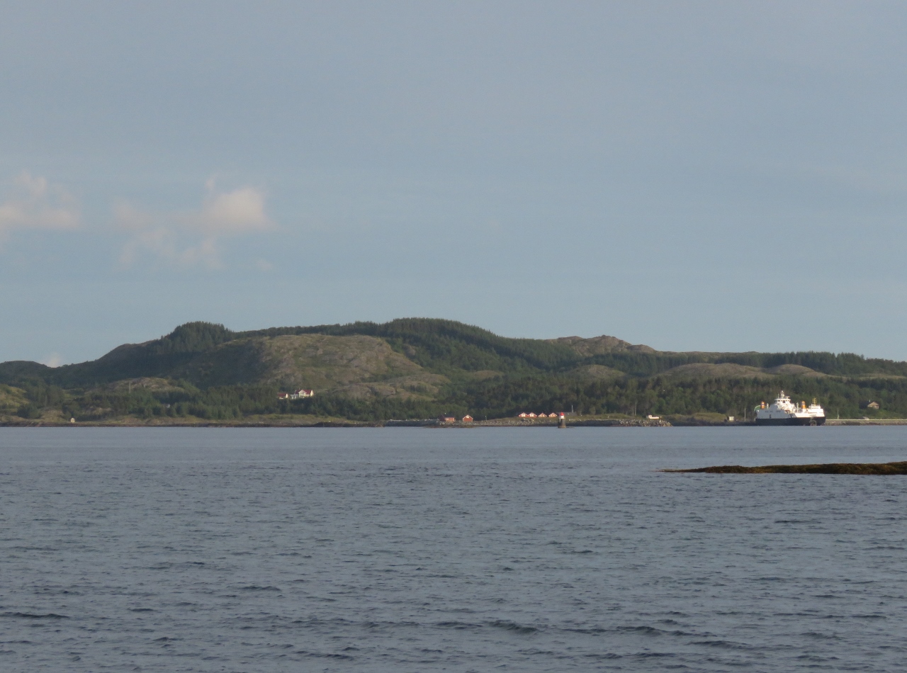
Ronja Ocean
Position: 65°29.60’N, 12°13.23’E
The fish carrier Ronja Ocean moored just outside Brønnøysund. We’ve seen several Ronja ships during our time in Norway.
|
 |
Waterway
Position: 65°28.58’N, 12°12.54’E
Beautiful calm waters in the channel along Brønnøysund.
|
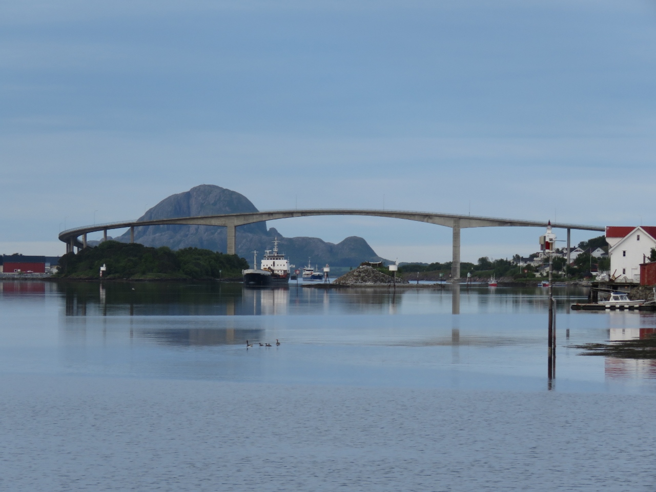 |
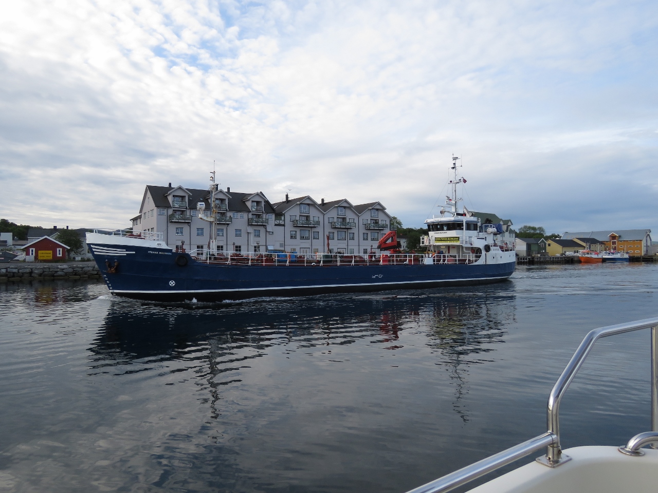
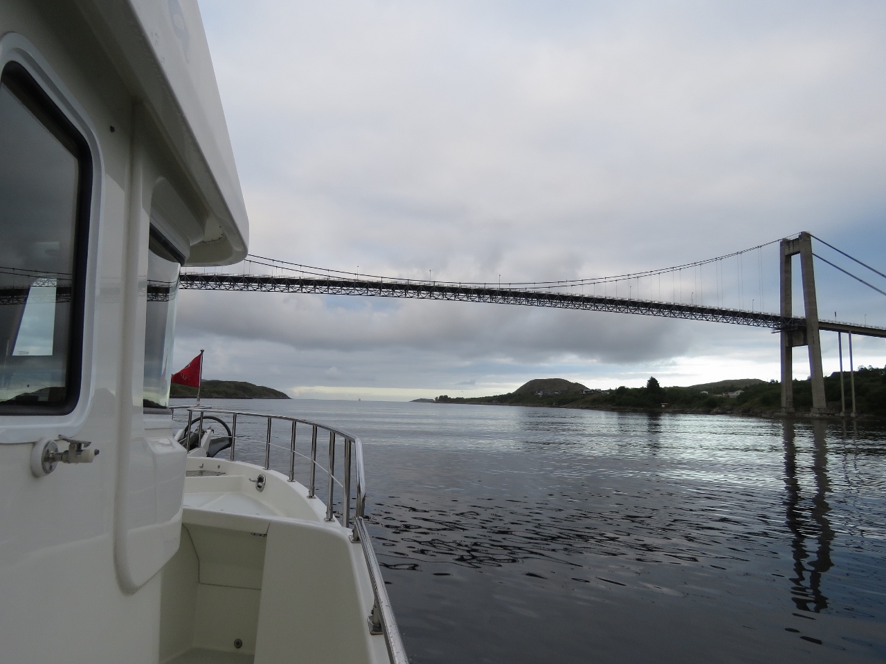
Brønnøysund Bridge
Position: 65°28.58’N, 12°12.54’E
In the distance, we could see opposing traffic approaching under the Brønnøysund Bridge. In the distance is with the mountain with the hole through it, Torghatten.
|
 |
Guest Dock
Position: 65°28.39’N, 12°12.22’E
Brønnøysund looked so appealing that we considered stopping at the guest dock, but it was only 7am, so a little early to call it a day.
|
 |
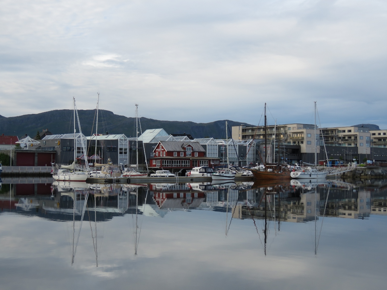
Reflections
Position: 65°28.20’N, 12°11.93’E
Traditional-looking buildings reflected in the calm waters off Brønnøysund.
|
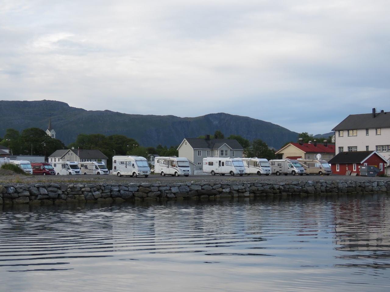 |
RVs
Position: 65°28.20’N, 12°11.93’E
We’ve often seen RVs as we’ve cruised Norway—it’s a popular way to explore the country.
|
 |
Close Quarters
Position: 65°28.12’N, 12°11.75’E
Passing the oncoming traffic off Brønnøysund, with not much space to give.
|
 |
Torthaggen
Position: 65°25.01’N, 12°8.66’E
From this side, we can only barely see the hole through the mountain Torghatten.
|
 |
Rejoining Route
Position: 65°20.25’N, 12°2.16’E
We’re finally rejoining our route north from May 14th along Norway’s sheltered inner lead.
|
 |
Bungee
Position: 65°4.00’N, 11°45.08’E
The bungee in one section of our canvas cover for the tender needed replacing, so we built a new piece from bulk bungee.
|
 |
Database Error
Position: 64°56.13’N, 11°26.03’E
In Bodø we realized that the OS hard drive in our navigation computer was failing. We’ve got a new computer on order that we’ll pick up in Seattle, so aren’t keen on investing a lot of time on the old system and have been trying to keep it limping along until we reach Trondheim. To reduce the stress on that disk, we moved our main database onto an external USB drive. We thought the transfer had gone smoothly until we attempted to backup the database underway and got this message indicating data corruption. Fortunately we were able to recover the data from backups and get things running again, but it took more time than we wanted to invest.
|
 |
Kråkøysundet
Position: 64°53.20’N, 11°17.49’E
The view south as we depart that anchorage at Kråkøysundet, just north of Rørvik. On our charts and the satellite imagery, the channel appears exposed to the north and south. But the newer charts show a breakwater across the north end, creating a snug and protected anchorage.
|
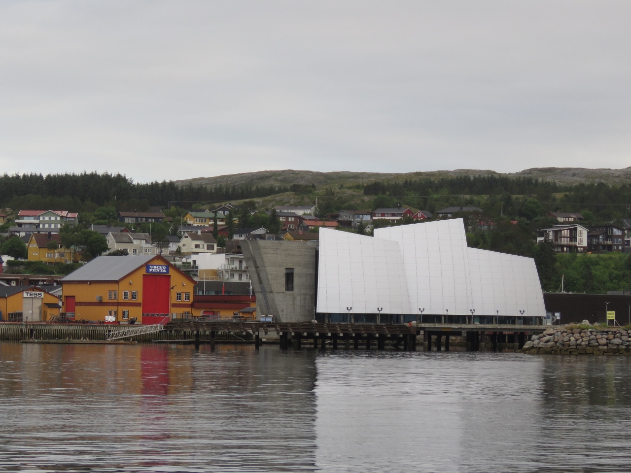 |
Coastal Museum Norveg
Position: 64°51.32’N, 11°14.00’E
Rorvik’s award-winning coastal heritage museum.
|
 |
Nærøysund Bridge
Position: 64°50.98’N, 11°13.03’E
Passing back under the Nærøysund Bridge just south of Rorvik.
|
 |
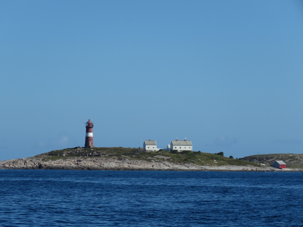
Villa Lighthouse
Position: 64°33.85’N, 10°40.14’E
The old coal-fired lighthouse on the island of Villa was in operation from 1839 to 1890.
|
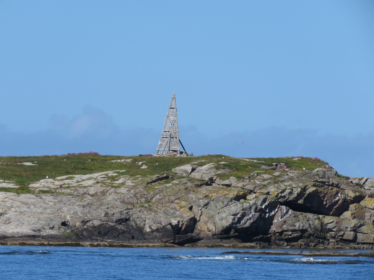 |
Navigation Aid
Position: 64°24.82’N, 10°26.37’E
Old-style navigation aid on an islet to our west.
|
 |
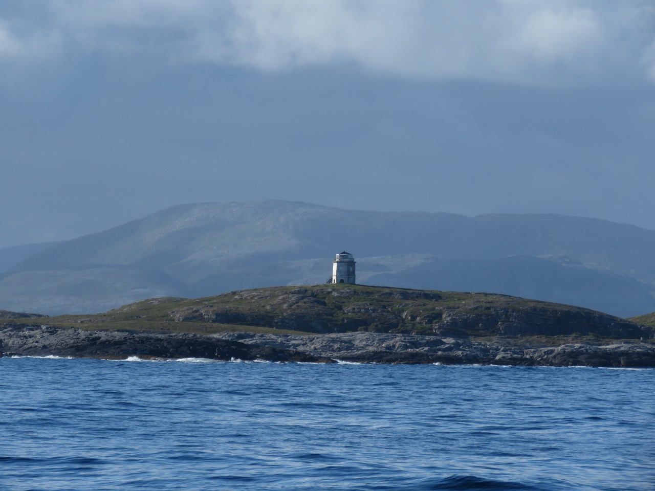
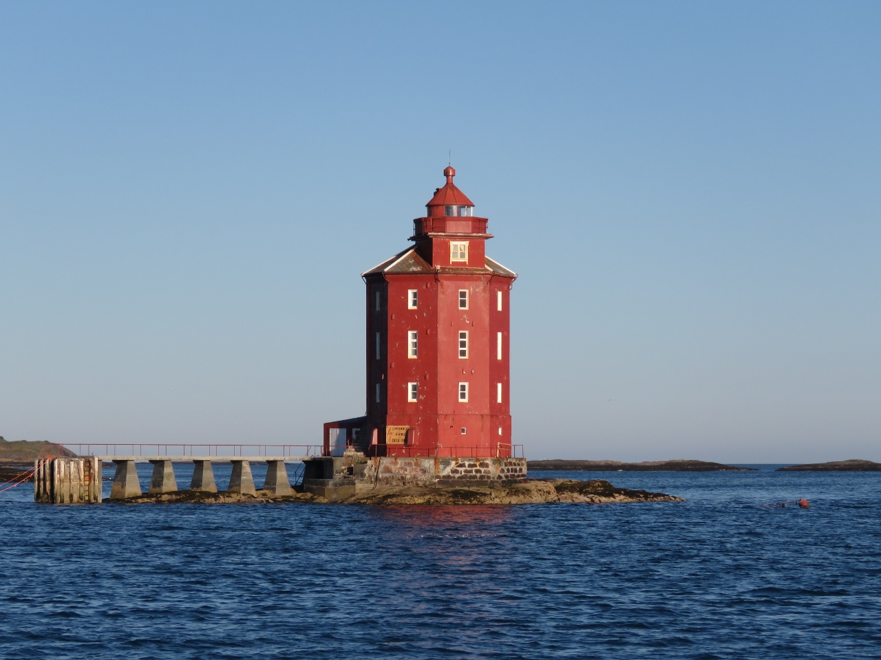
Sønnaholmen Lighthouse
Position: 64°23.03’N, 10°26.89’E
The red-and-white striped tower of the Sønnaholmen Lighthouse to our north.
|
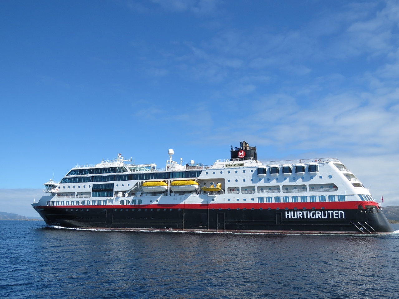 |
Trollfjord
Position: 63°53.92’N, 9°45.79’E
The Hurtigruten Trollfjord running north. Now that we’ve spent some time on one, we’re noticing that they have a wide variety of ship designs.
|
 |
Anchorage View
Position: 63°47.72’N, 9°36.42’E
The view east from our anchorage at Hellesvika. Tomorrow we arrive into Trondheim.
|
 |
Tjeungskjær
Position: 63°43.49’N, 9°32.04’E
The Tjeungskjær lighthouse, that we also passed on the way north, nearly fills the small islet it is built upon.
|
 |
Spitfire
Position: 63°40.70’N, 9°29.27’E
Spitfire enjoying a nice calm cruise.
|
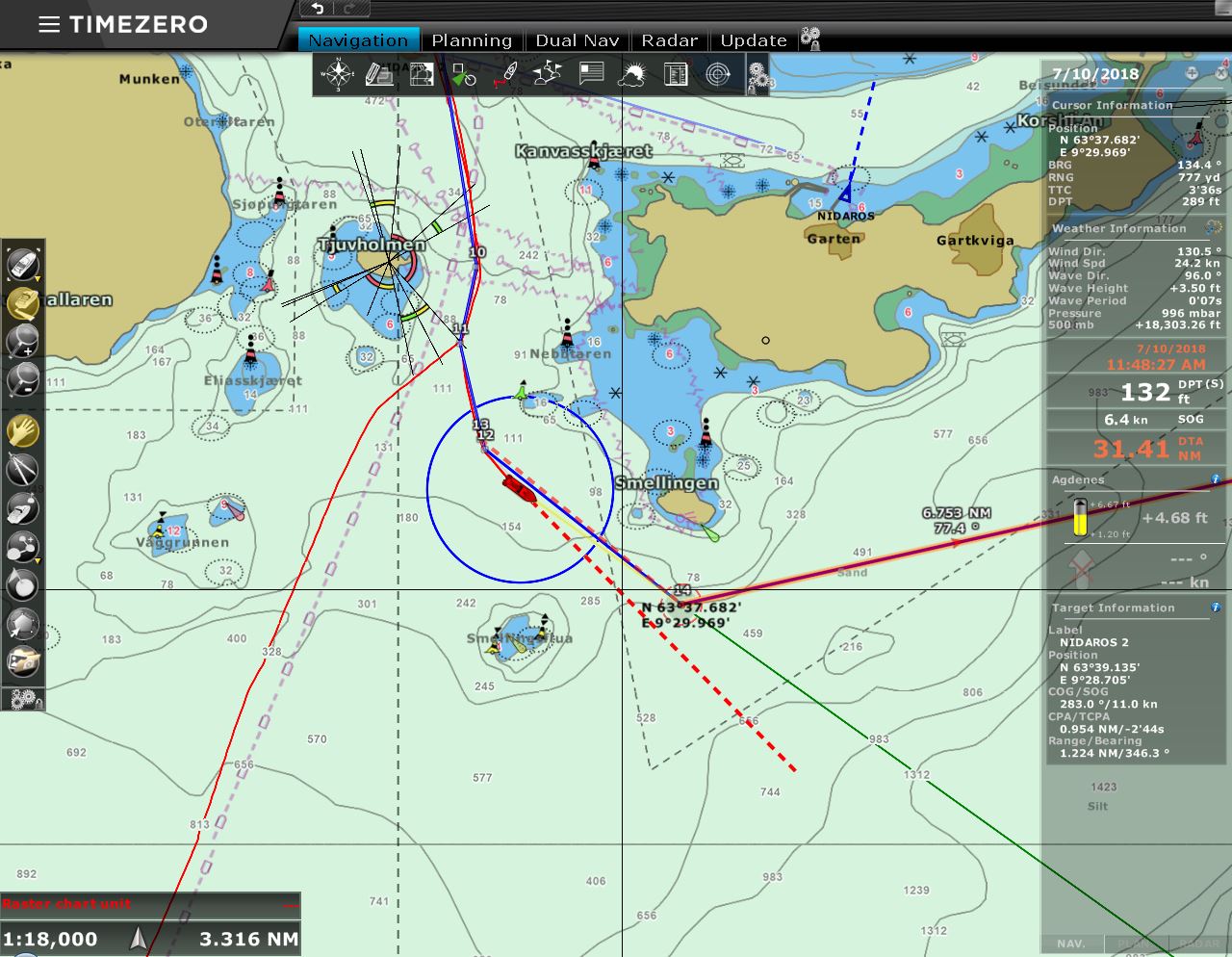 |
Leaving Route
Position: 63°37.95’N, 9°29.35’E
We’re now diverging from our route north as we turn east toward Trondheim.
|
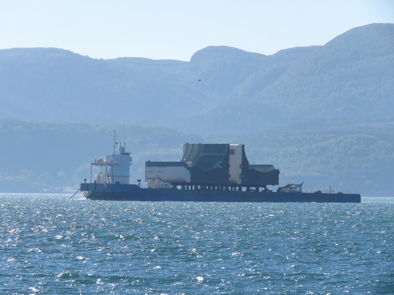 |
Tow
Position: 63°38.88’N, 9°45.53’E
A tug was pulling this unusual tow down Trondheimsfjorden.
|
 |
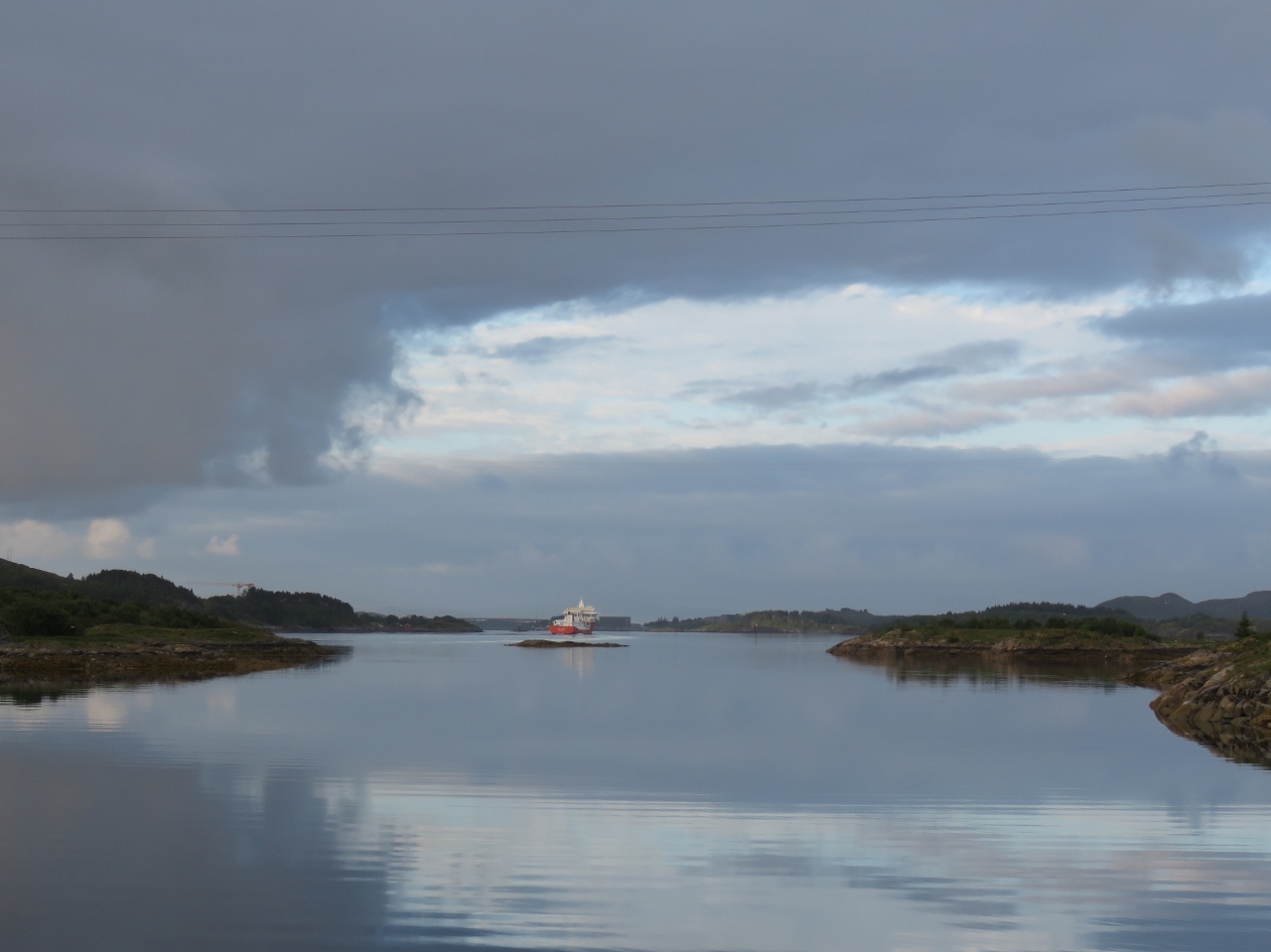
Nordlys
Position: 63°28.16’N, 10°8.70’E
The Hurtigruten Nordlsys heading south from Trondheim
|
 |
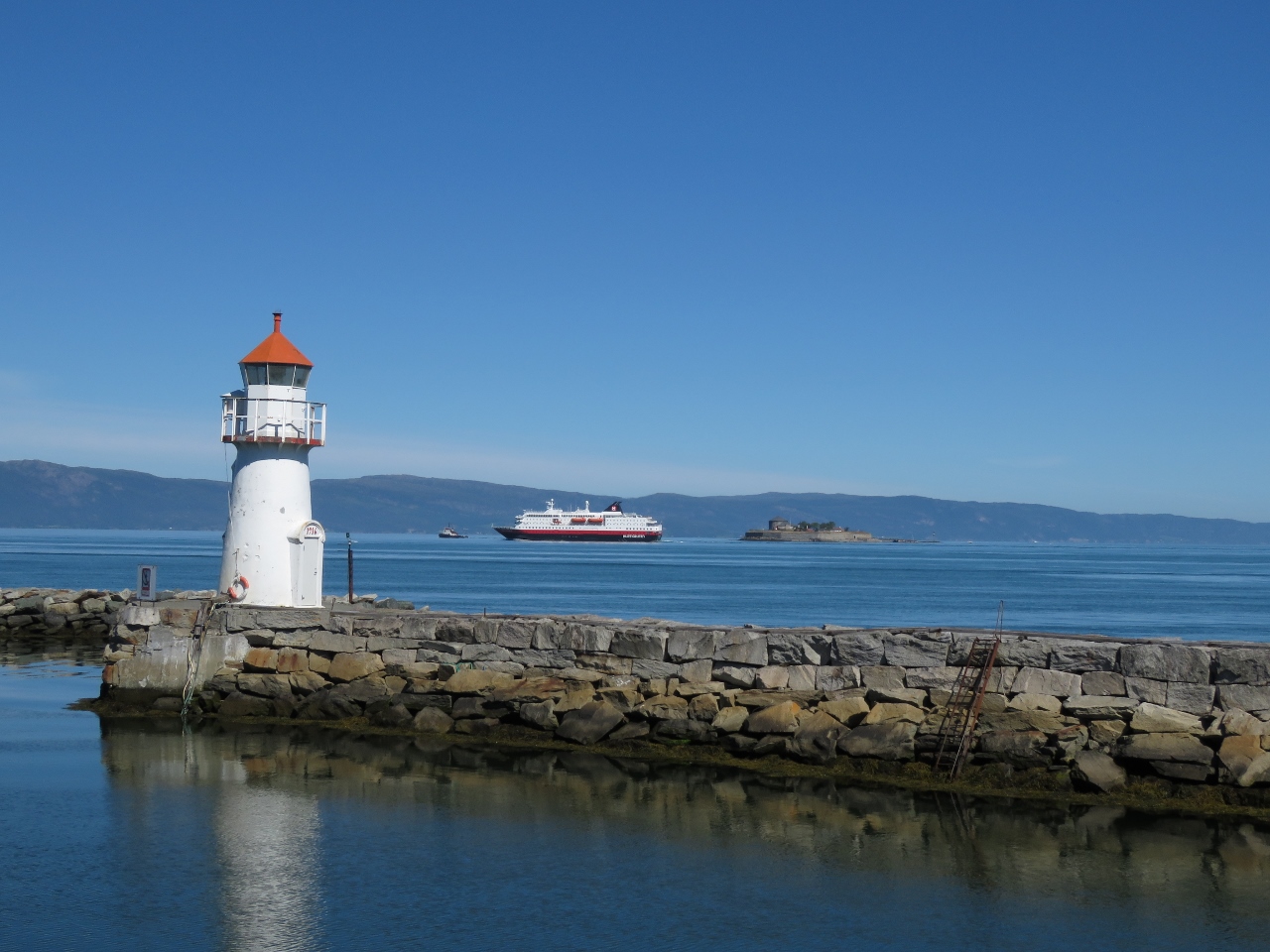
Trondheim Harbour
Position: 63°26.01’N, 10°21.95’E
Passing behind the breakwater at Trondheim harbor.
|
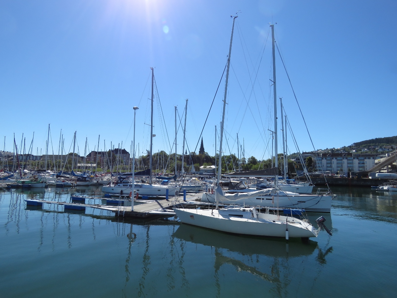 |
Skansen Gjestehavn
Position: 63°25.98’N, 10°22.51’E
Skansen Gjestehavn to starboard as we pass along the breakwater. The main short-term guest pontoons are located here. But we’ve got a berth for a month farther along.
|
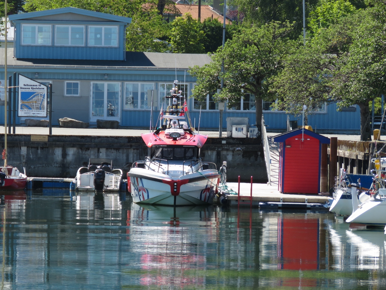 |
Redningsselskapet
Position: 63°25.98’N, 10°22.59’E
Redningsselskapet vessel moored at their Trondheim base. Redningsselskapet, abbreviated RS, is the Norwegian Search and Rescue Service,
|
 |
Kong Harald
Position: 63°25.95’N, 10°22.67’E
Our ‘gruten, the Kong Harald, departing Trondheim northbound. Trondheim is one of several cities along their route where the Hurtigruten ferry stops overlap.
|
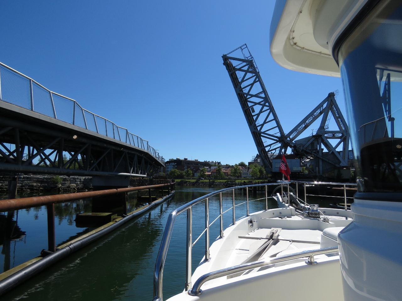 |
Skansen Bridge
Position: 63°25.90’N, 10°22.89’E
Passing through the Skansen railway bridge. The bridge opens only at set times to allow railway traffic to pass—we’d timed our arrival for the 12:05 opening..
|
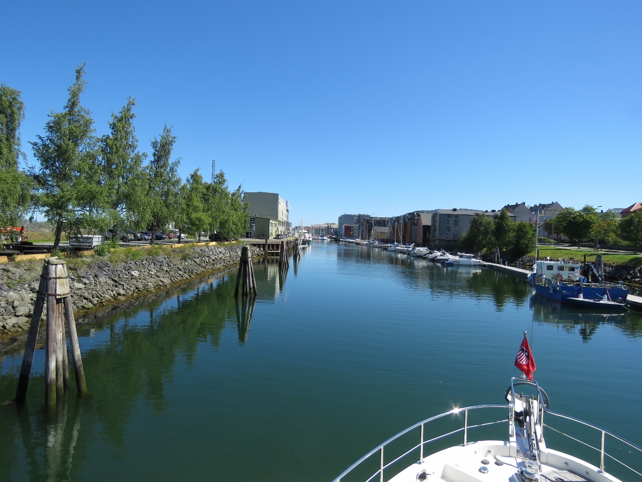 |
Kanalhavn
Position: 63°25.92’N, 10°23.01’E
Entering Kanalhavn, the canal that runs from Skansen Bridge to the Nidelva River.
|
 |
Vestre Kanalhavn
Position: 63°26.00’N, 10°23.29’E
Moored at our home for the next month, Vestre Kanalhavn. We’re on a fixed, rather than floating dock, so have deployed long lines to allow for the 6ft tidal range. We’re using a 75-foot line off the bow, another as a forward spring, two 25-ft lines tied together as an aft spring line, and a 35-ft line off the stern. The shorter line off the stern keeps the boat relatively stable fore-and-aft with respect to a ladder that we’ll use to reach shore.
|
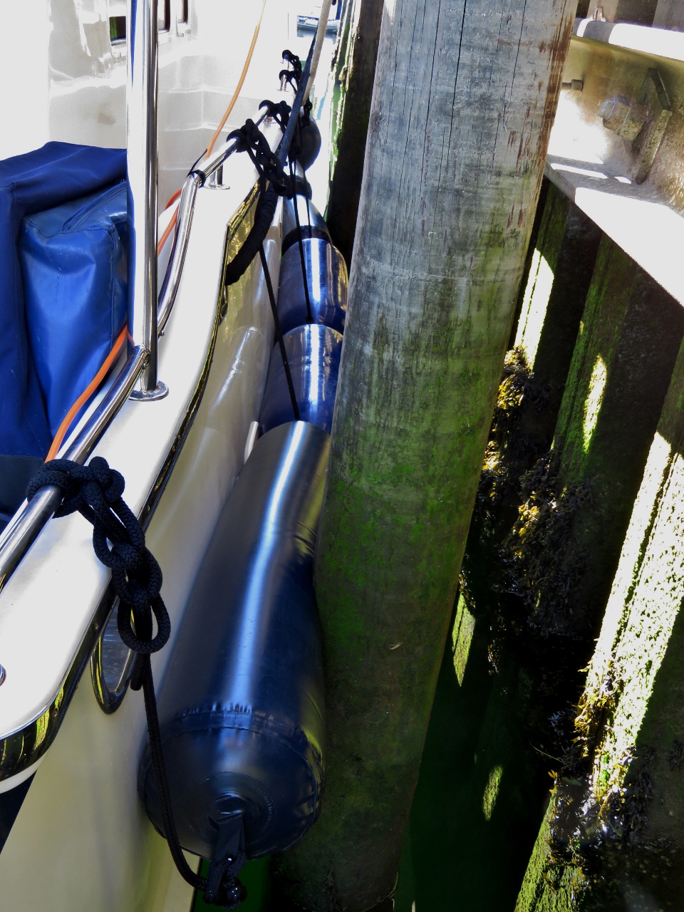 |
Fenders
Position: 63°26.01’N, 10°23.30’E
The fixed dock we’re on has widely-spaced pilings. Dirona rests against only two pilings and the boat can more fore-to-aft due to the tidal range, so we’ve strung a row of fenders down the side of the boat. These include our two new Polyform F8 fenders and four of what we call “sausage” (1-f by 5-ft) inflatable fenders.
|
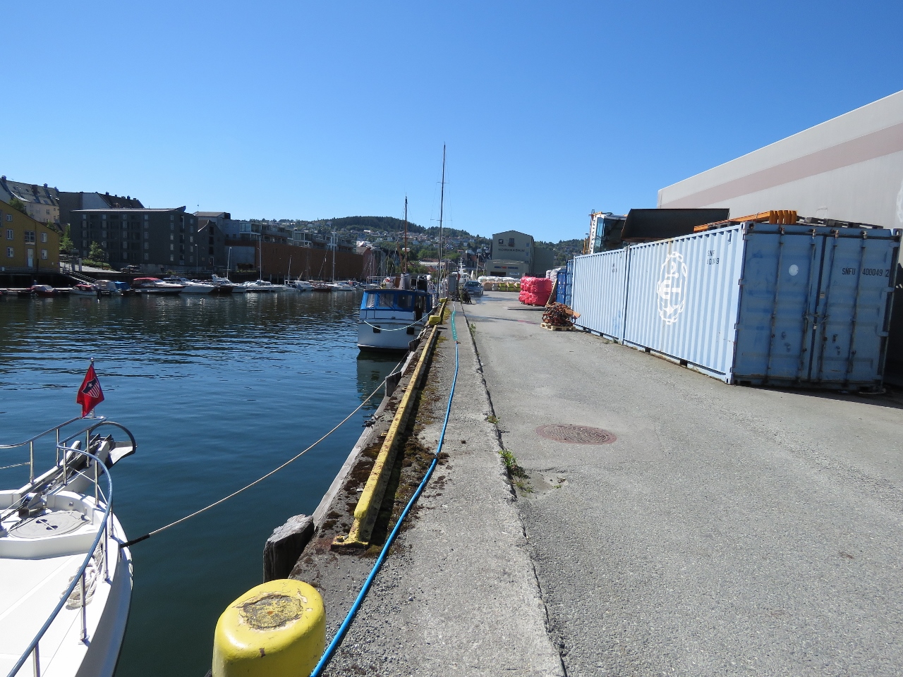 |
Freshwater
Position: 63°26.00’N, 10°23.29’E
Shorepower is only 25ft behind the boat, but the water is 120ft away (adjacent to MY Spiti seen forward of Dirona). No problem—we just joined two 50-foot hoses and a coiled 25-foot hose and are now filling our tank.
|
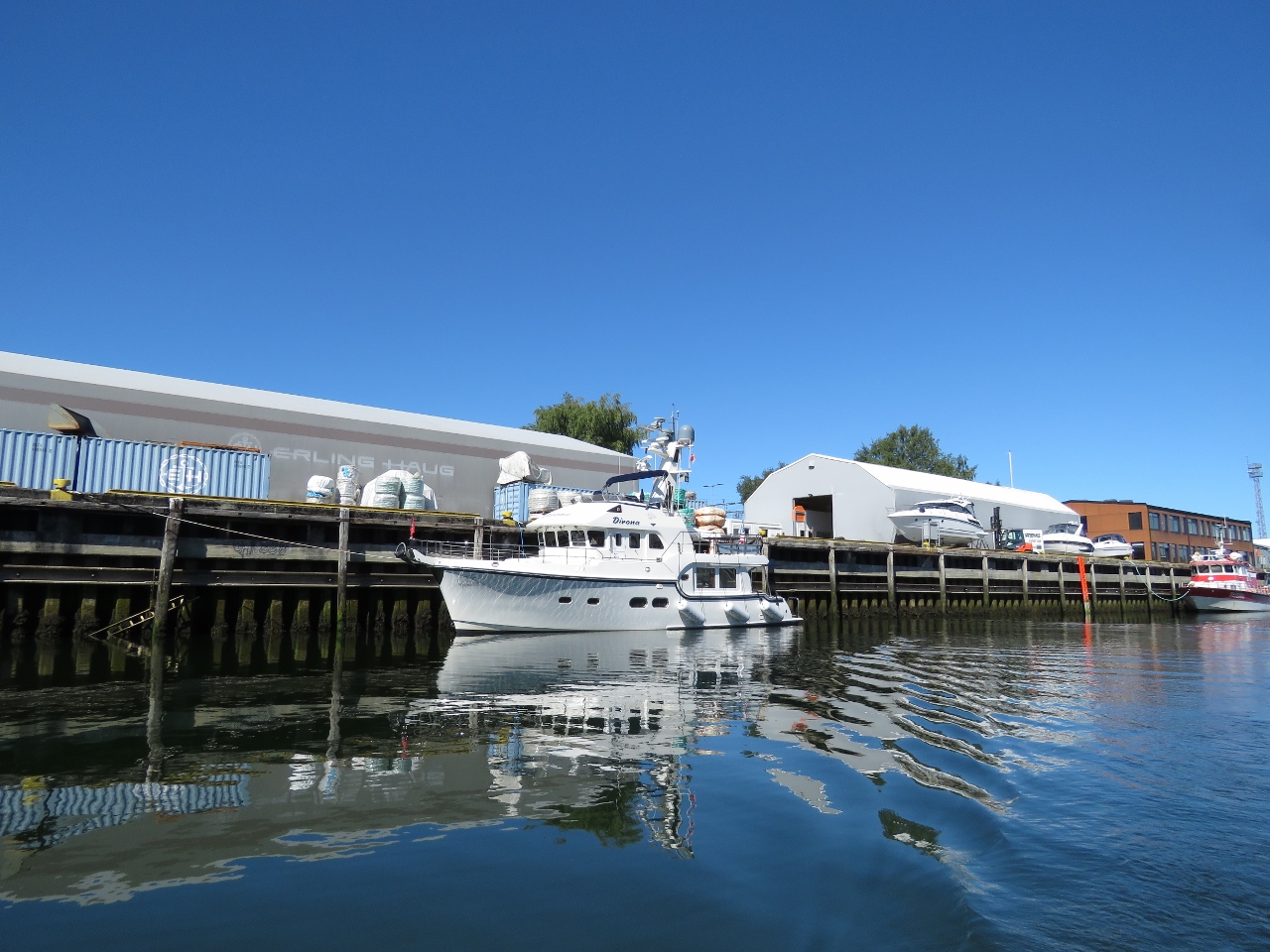 |
Dirona
Position: 63°25.98’N, 10°23.31’E
We dropped the tender in for a tour of the Trondheim waterways. This is the view to our new home.
|
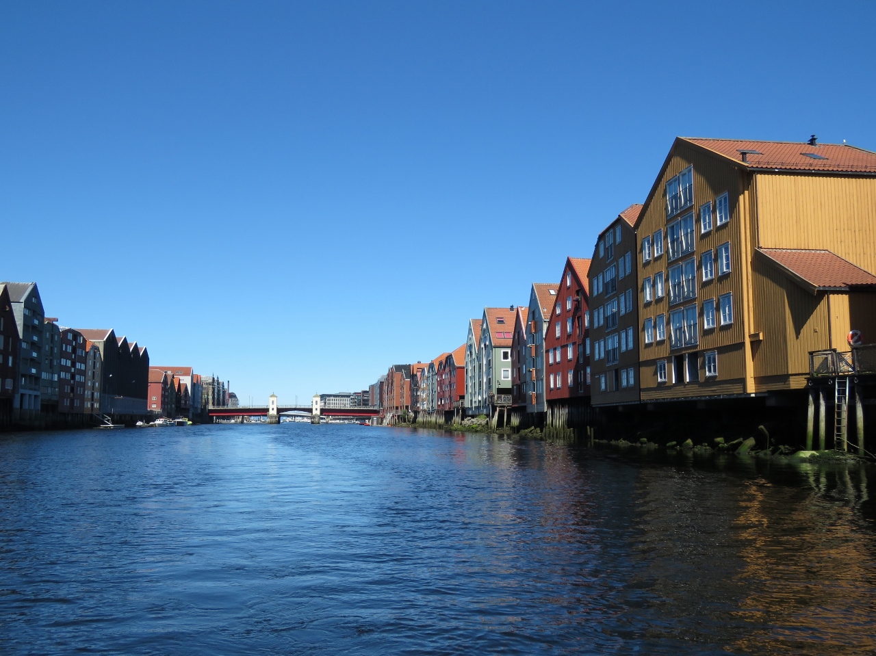 |
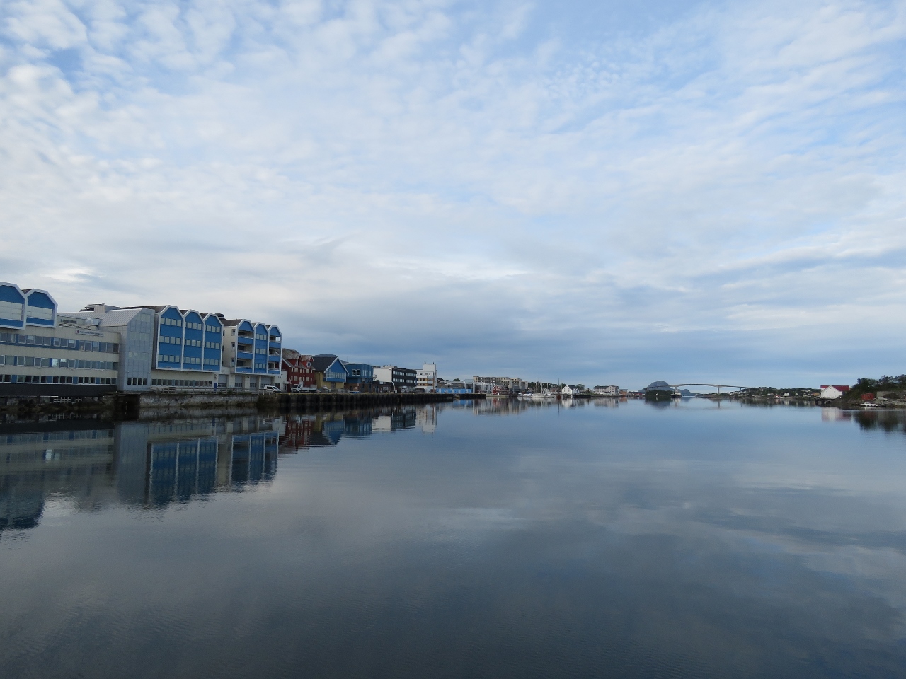
Bryggen
Position: 63°25.70’N, 10°24.10’E
Colorful 18th- and 19th-century riverfront warehouses on the river Nidelva that runs through Trondheim.
|
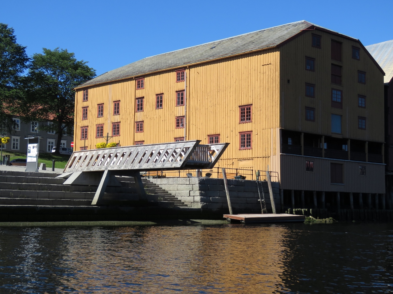 |
Deck
Position: 63°25.75’N, 10°24.14’E
Viewing deck over the Nidelva River.
|
 |
Apartments
Position: 63°26.09’N, 10°24.45’E
Beautiful apartments overlooking the Nidelva River south of the junction with Kanalhavn.
|
 |
Tender Moored
Position: 63°26.12’N, 10°24.54’E
We moored the tender on a floating dock along the Nidelva River, just north of the junction with Kanalhavn.
|
 |
Egon
Position: 63°26.08’N, 10°24.68’E
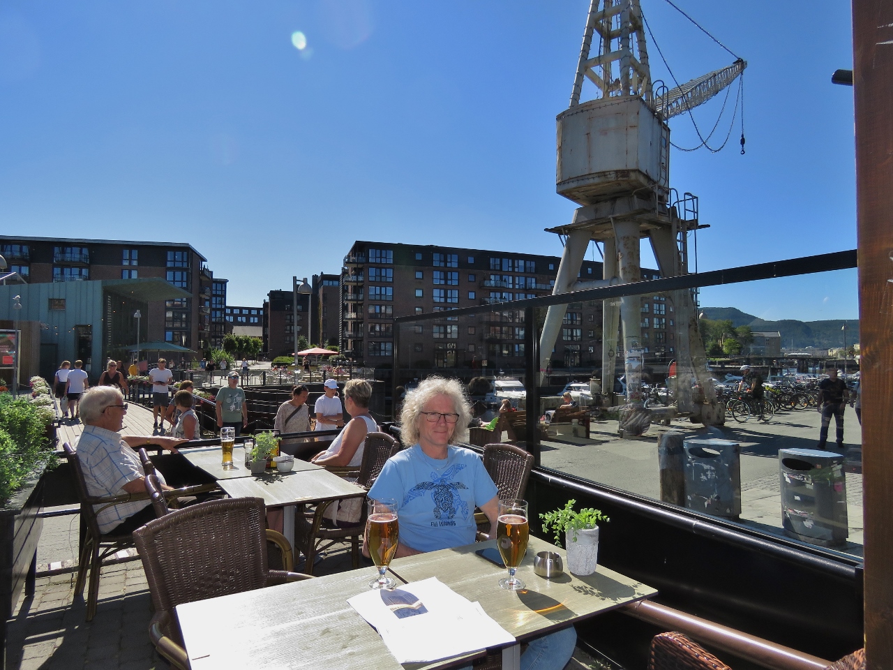
A great lunch on the patio at Egon, one of a dozen waterfront restaurants on Trondheim’s popular Solsiden district. The area was packed on this beautiful sunny day. In the background are relics from Trondheim’s old working waterfront.
|
 |
Solsiden
Position: 63°26.08’N, 10°24.75’E
The glass-enclosed Solsiden mall is an upscale and popular shopping area.
|
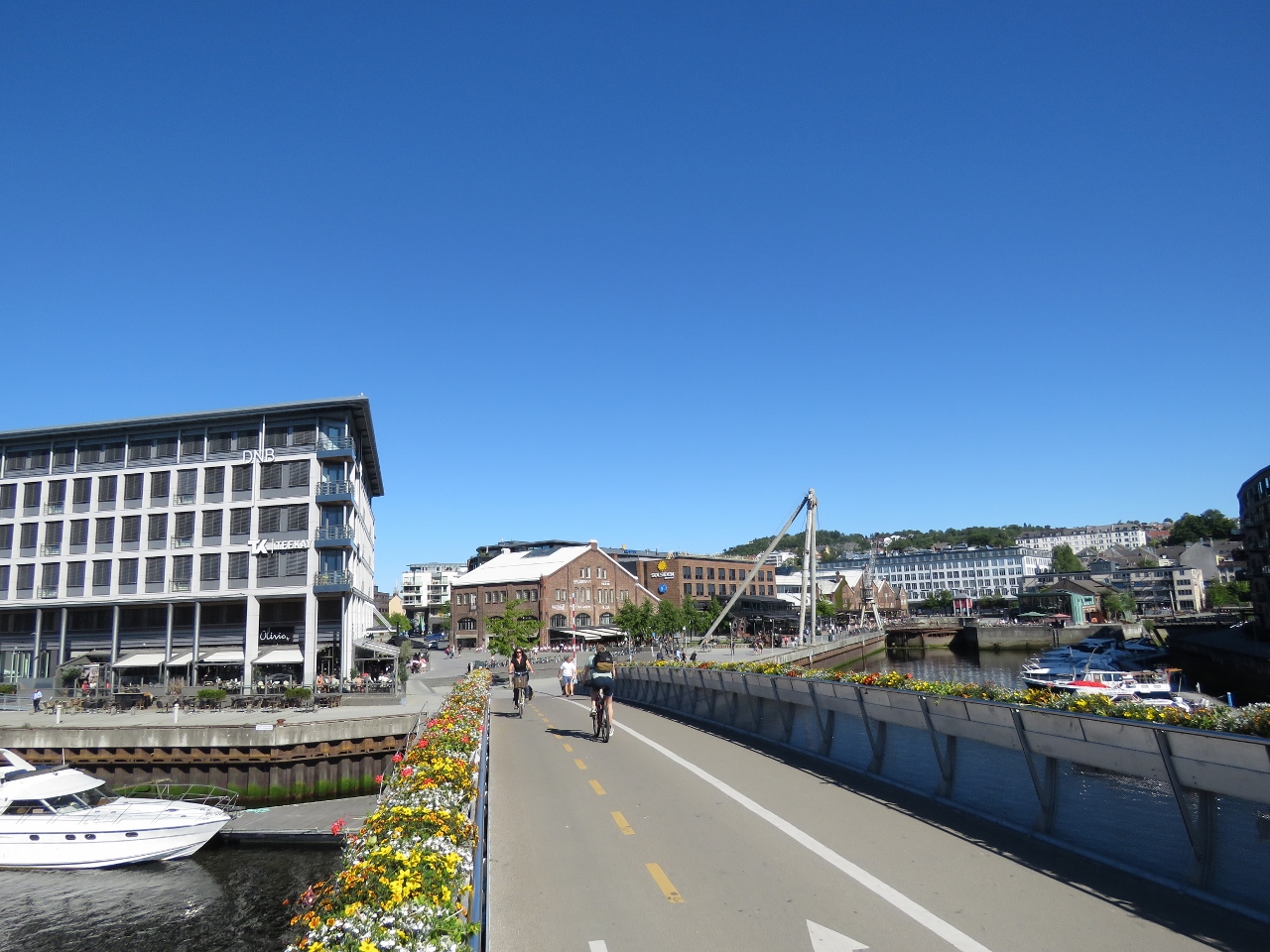 |
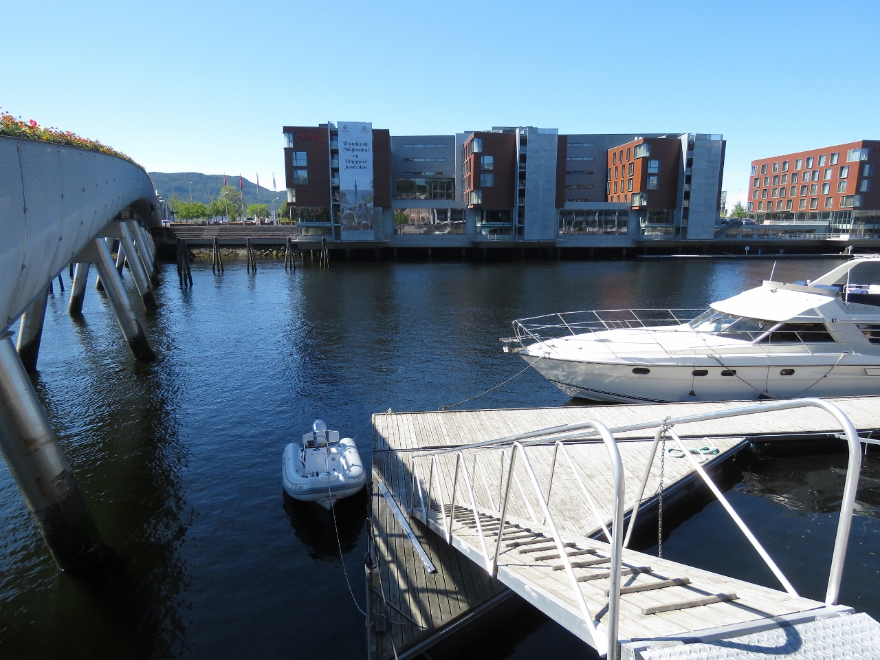
Overpass
Position: 63°26.12’N, 10°24.37’E
Pedestrian and bicycle overpass over the Nidelva River. The tender is moored off the bow of the boat at the left. The old crane near Egon, where we had lunch, is visible in the distance.
|
 |
Dinner
Position: 63°26.07’N, 10°24.72’E
We returned on foot to the Solsiden district for an excellent pizza dinner at Selma. We’re really liking Trondheim so far.
|

|
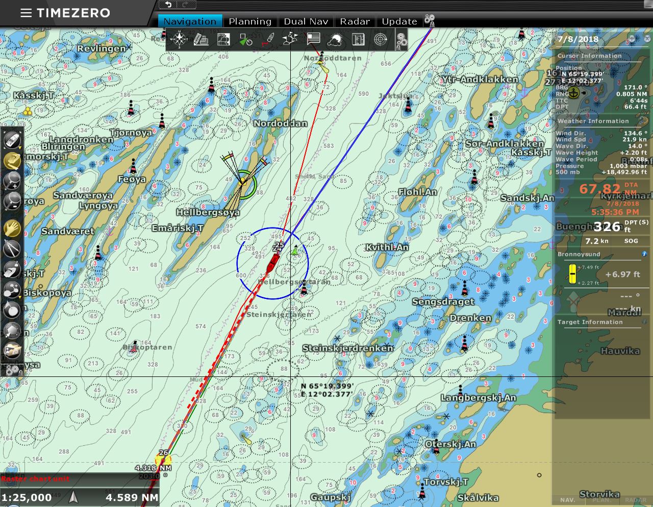
Click the travel log icon on the left to see these locations on a map, with the complete log of our cruise.
On the map page, clicking on a camera or text icon will display a picture and/or log entry for that location, and clicking on the smaller icons along the route will display latitude, longitude and other navigation data for that location. And a live map of our current route and most recent log entries always is available at mvdirona.com/maps. |
If your comment doesn't show up right away, send us email and we'll dredge it out of the spam filter.