Nærøyfjord was named a UNESCO World Heritage site in 2005 for being among the most scenically outstanding in the world. At its narrowest the fjord is only 820ft (250m) across with sheer cliffs on either side. Dozens of dramatic waterfalls plunge down the steeply-sloped shores. A standout is Kjelsfossen, one of the highest waterfalls in Norway and the 18th tallest in the world, with a total fall height of 2,477 ft (755 m). After returning to Flåm and dropping off our rented Twizy, we set off for Nærøyfjord on a tender tour.
Below are trip highlights from May 7th in Sognefjord, Norway. Click any image for a larger view, or click the position to view the location on a map. And a live map of our current route and most recent log entries always is available at mvdirona.com/maps
 |
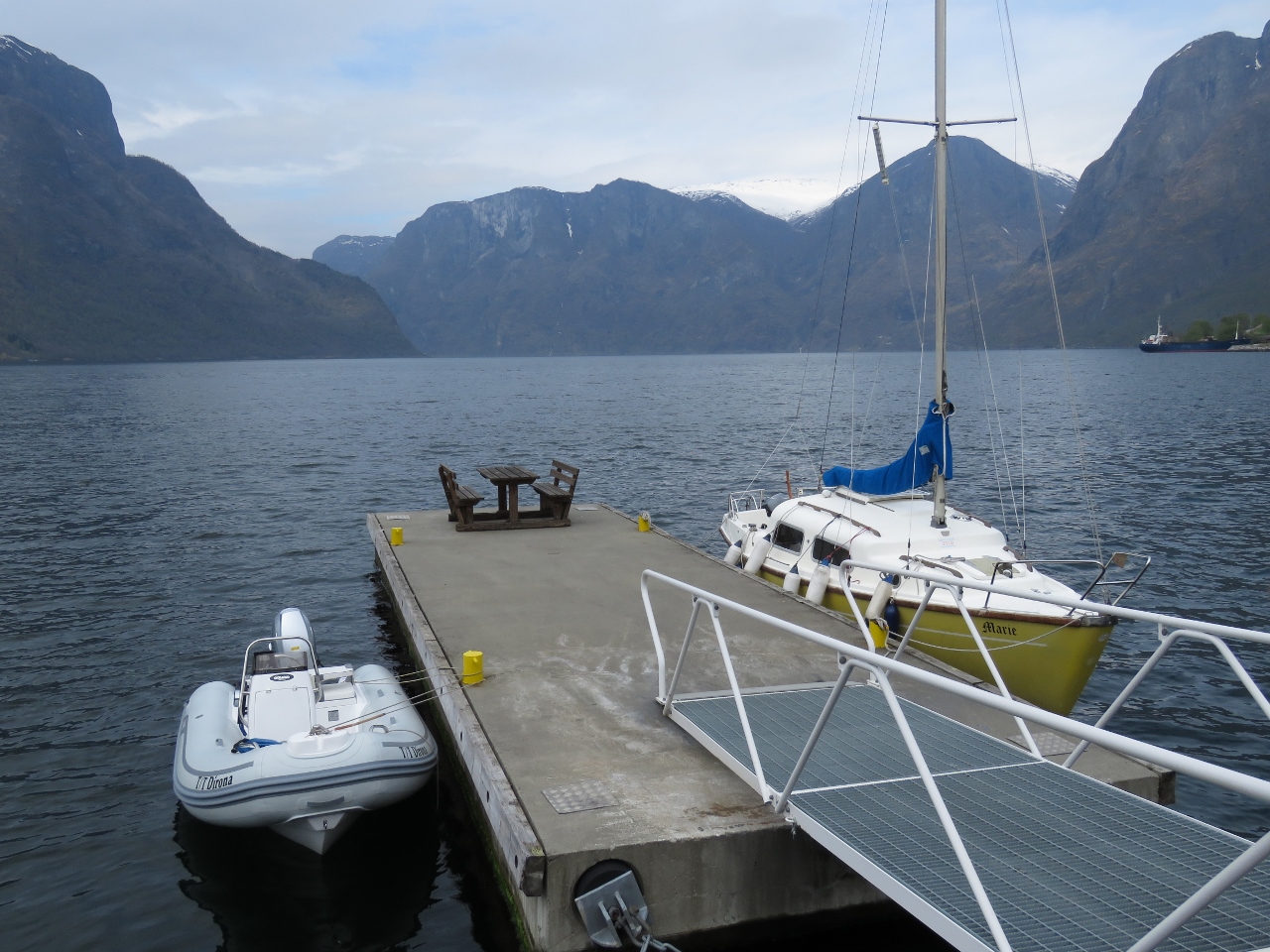
Dirona
Position: 7 7.20, 60 51.66
Our berth at Flåm viewed from the tender.
|
 |
Aurlandsvangen
Position: 7 11.12, 60 54.39
We would have stopped in Aurlandsvangen for lunch on the way back from the power station, but we only had the car for two hours so didn’t have time. Instead, we came over by tender.
|
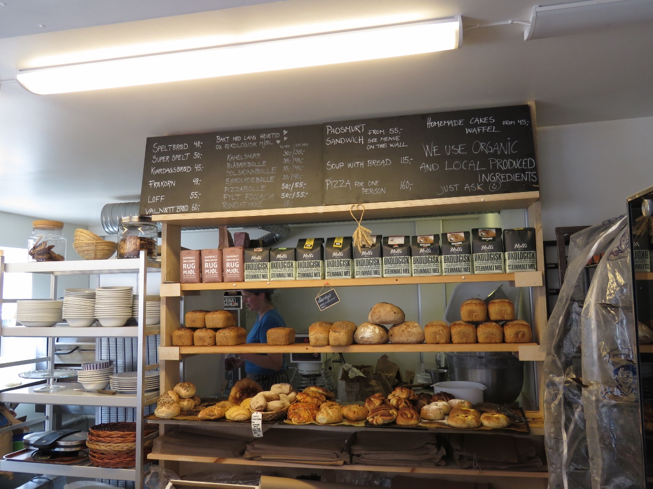 |
Marianne
Position: 7 11.21, 60 54.33
We had an excellent pizza for lunch at Marianne Bakery and Cafe in Aurlandsvangen.
|
 |
Vertical
Position: 7 9.61, 60 56.15
A vertical cliff as we round a bend toward Nærøyfjord.
|
 |
Undredal
Position: 7 6.86, 60 57.06
The village of Undredal.
|
 |
Kayaks
Position: 7 4.18, 60 58.23
At least a dozen kayaks were piled up on shore here, with no people in evidence. We could see a trail snaking up the near-vertical cliffside, so the only likely explanation is they hiked up somewhere out of sight.
|
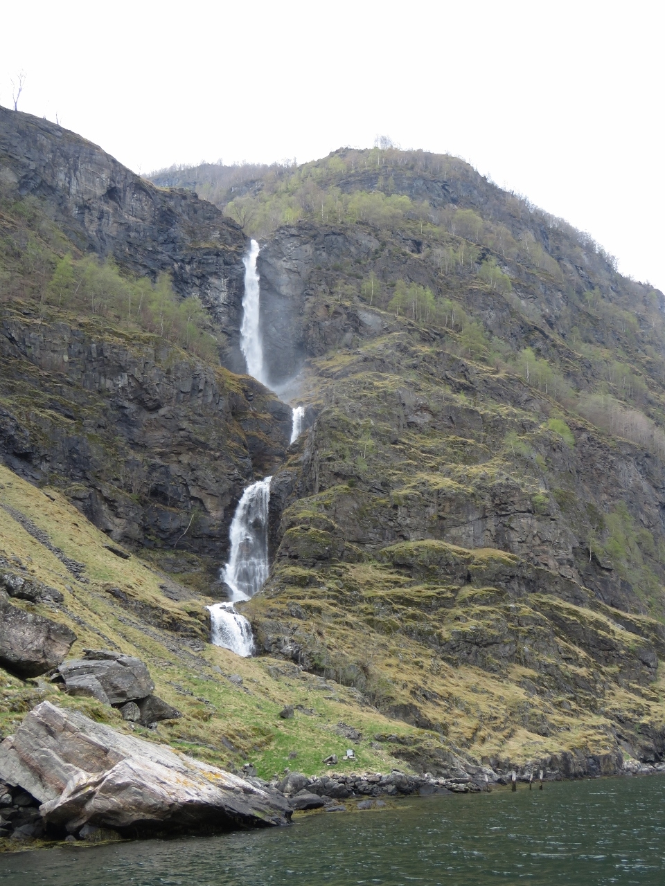 |
Waterfall I
Position: 7 3.98, 60 58.47
We saw literally dozens of waterfalls today. Here is one of the better ones.
|
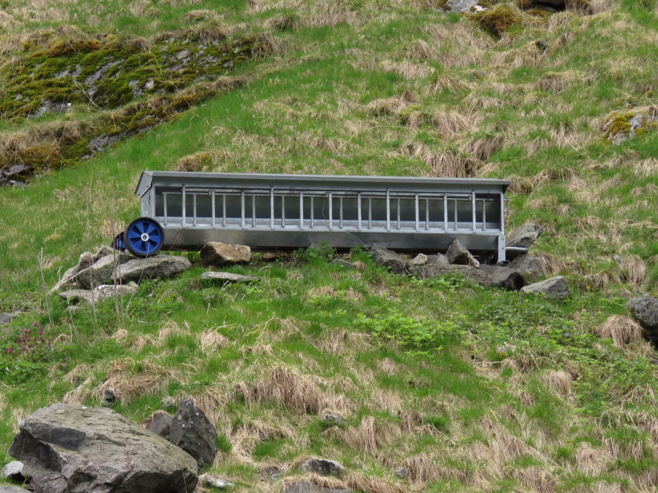 |
Unknown
Position: 7 3.91, 60 58.51
This box was mounted on a point about twenty feet above the water line. We didn’t come up with any solid theories for its application.
|
 |
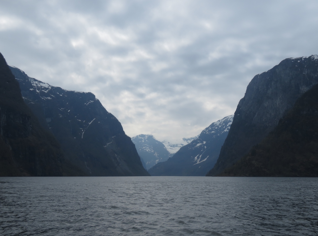
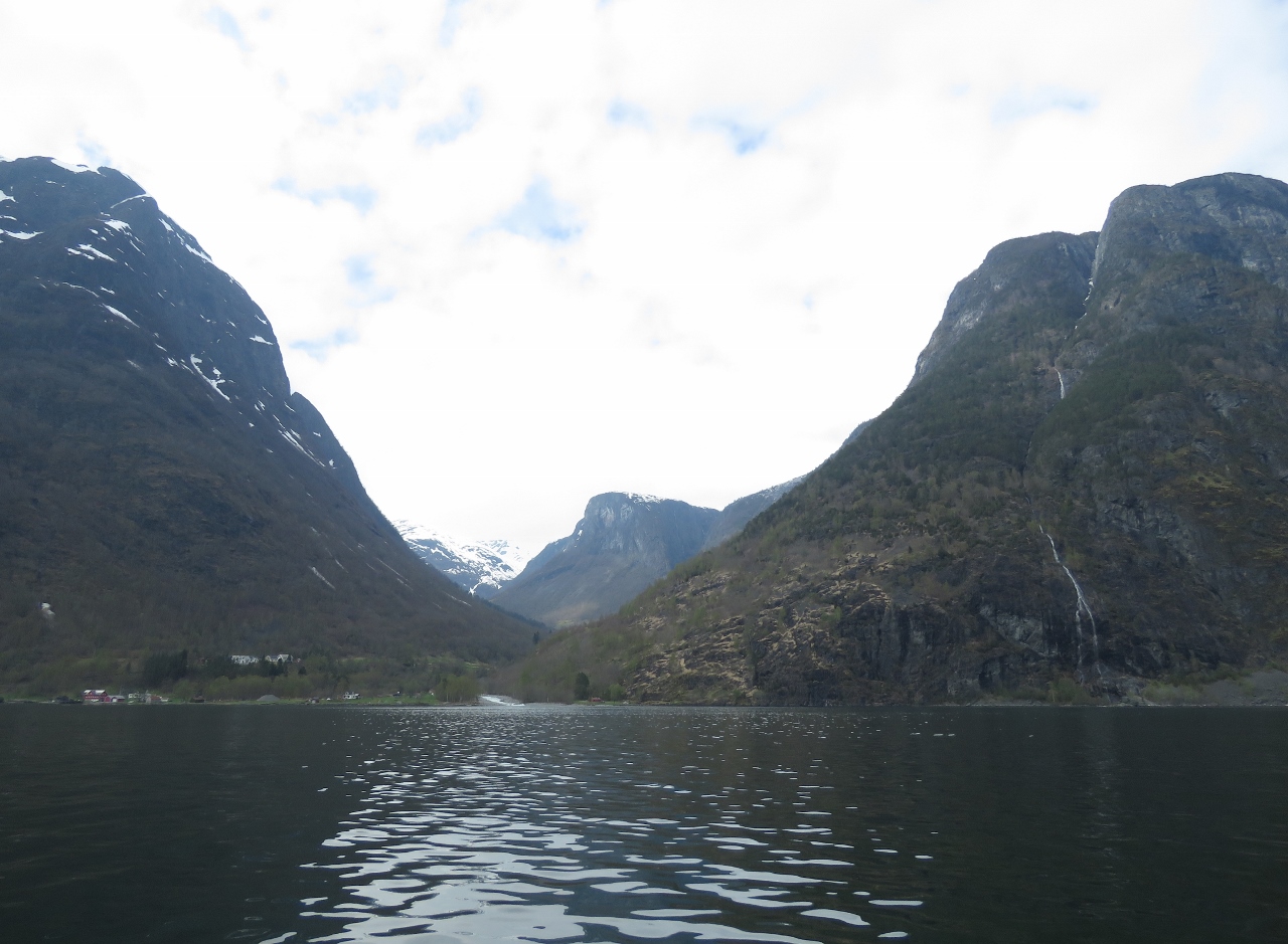
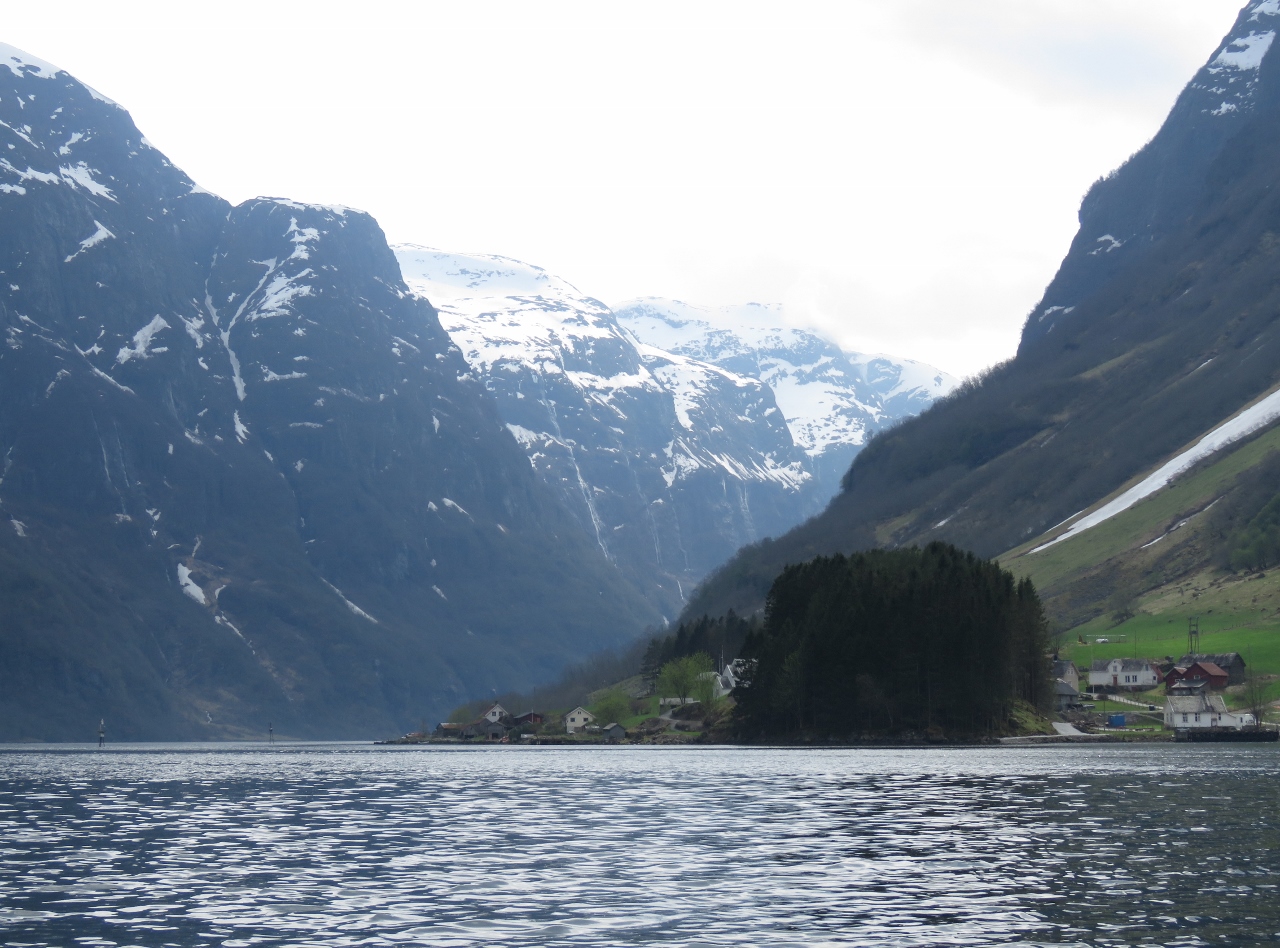
First View
Position: 7 2.71, 60 59.17
A first view down Nærøyfjord. The fjord was named a UNESCO World Heritage site in 2005 for being among the most scenically outstanding in the world.
|
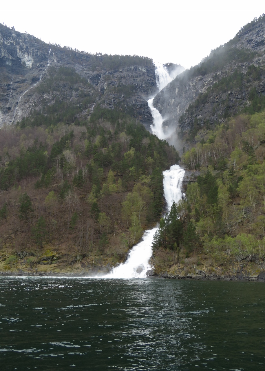 |
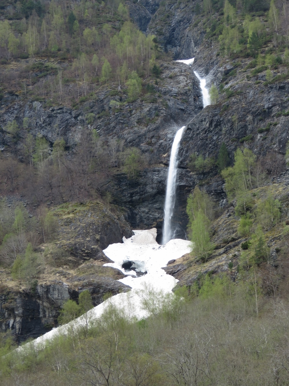
Lægdafossen
Position: 7 0.76, 60 58.66
Lægdafossen waterfall plunges nearly 2,000ft (600m) in four tiers.
|
 |
Waterfall III
Position: 6 58.59, 60 58.07
.
|
 |
Drydal
Position: 6 57.01, 60 57.30
Looking east into the valley behind the hamlet of Drydal.
|
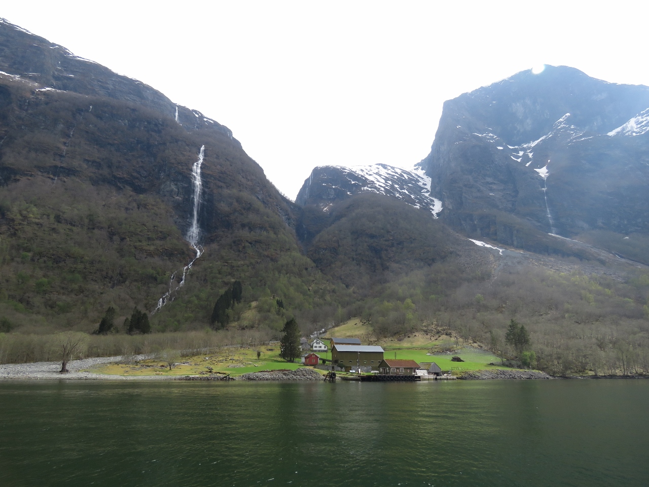 |
Styvi
Position: 6 56.06, 60 56.63
Outside the Styvi farm is a ferry dock where passengers can be picked up or dropped off on request. The farm museum there has artifacts dating back to prehistoric times.
|
 |
Waterfall IV
Position: 6 54.34, 60 56.33
.
|
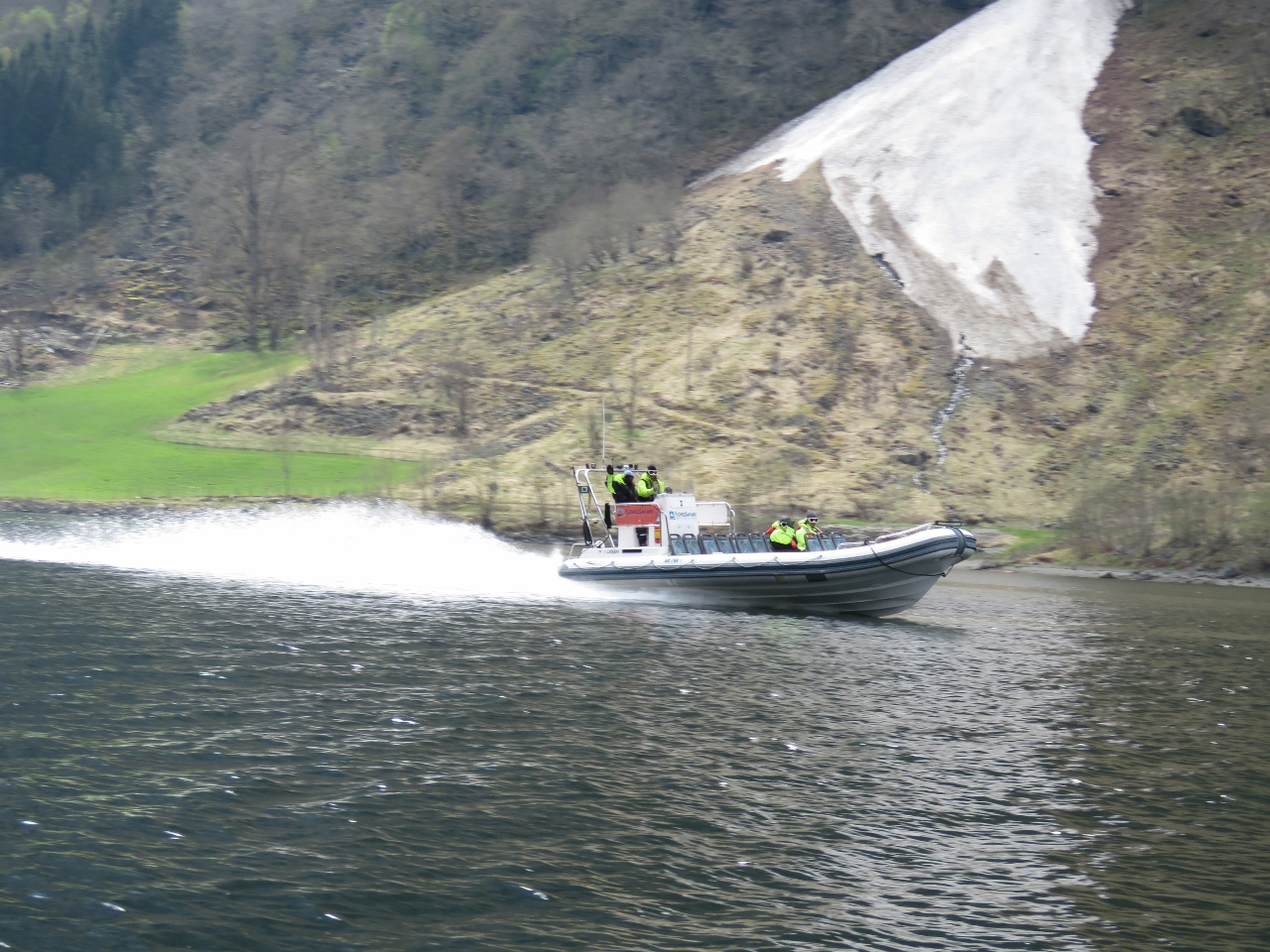 |
Tour boat
Position: 6 52.31, 60 55.47
Tour boats of all sizes and speeds operate in Nærøyfjord.
|
 |
Narrows
Position: 6 52.38, 60 55.30
At its narrowest Nærøyfjord is only 820ft (250m) across with sheer cliffs on either side.
|
 |
Head
Position: 6 52.40, 60 54.94
Gudvangen village at the head of Nærøyfjord.
|
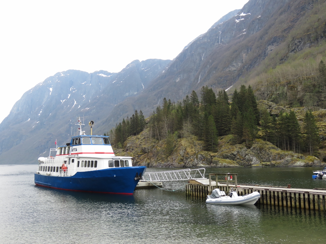 |
Gudvangen
Position: 6 50.60, 60 52.80
We were going to land the tender in a small cove and clamber up some rocks to get ashore, but the dock master called us over and “assigned us” this much nicer landing spot on the main dock.
|
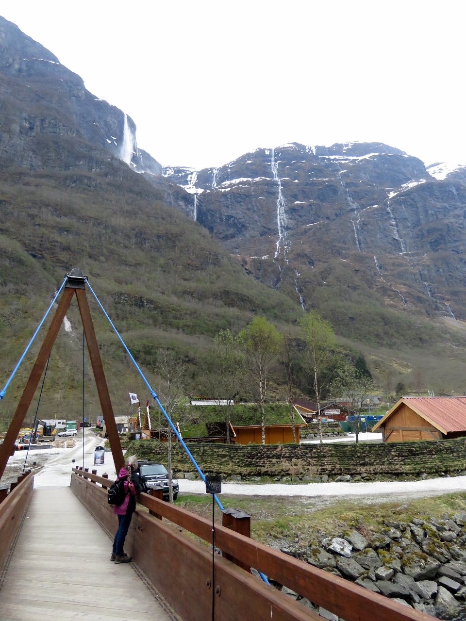 |
Footbridge
Position: 6 50.52, 60 52.80
Footbridge over the river Nærøydalselvi in Gudvangen with more waterfalls visible in the distance.
|
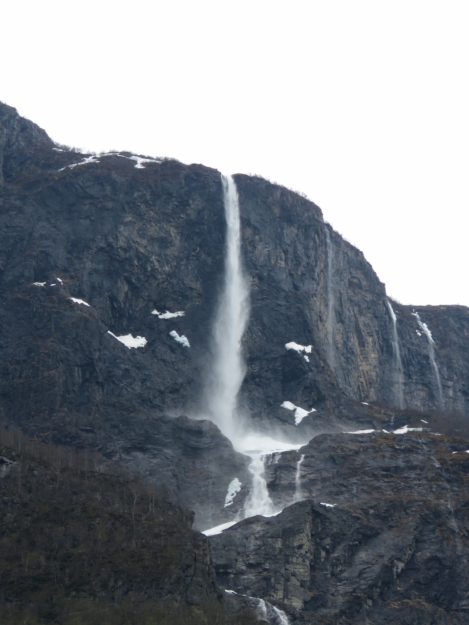 |
Kjelsfossen
Position: 6 50.37, 60 52.68
The Kjelsfossen waterfall at Gudvangen has a total fall height of 2,477 ft (755 m). It’s the one of the highest waterfalls in Norway and the 18th tallest in the world.
|
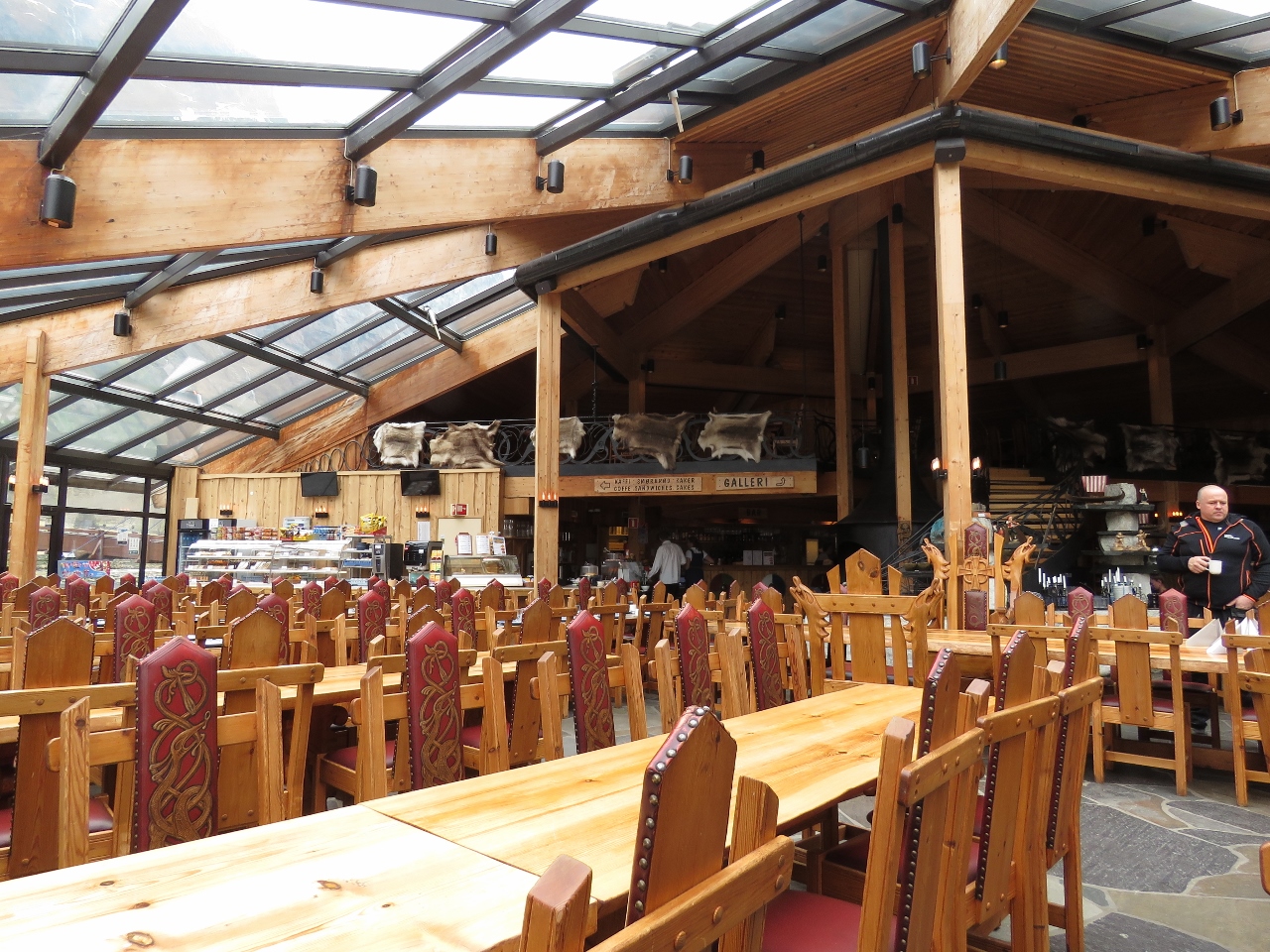 |
Cafe
Position: 6 50.51, 60 52.85
The Viking-inspired cafe at the Gudvangen visitor center. Big cruise ships visit here and the village is setup for large groups of tourists. It was thankfully quiet when we were there.
|
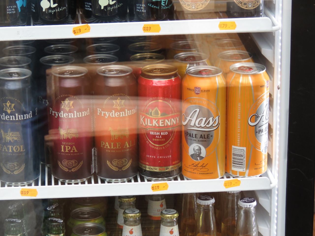 |
Kilkenny
Position: 6 50.51, 60 52.85
We noticed the cafe stocked Kilkenny— one of Jennifer’s favourite Irish beers. We haven’t seen it for sale for a long time.
|
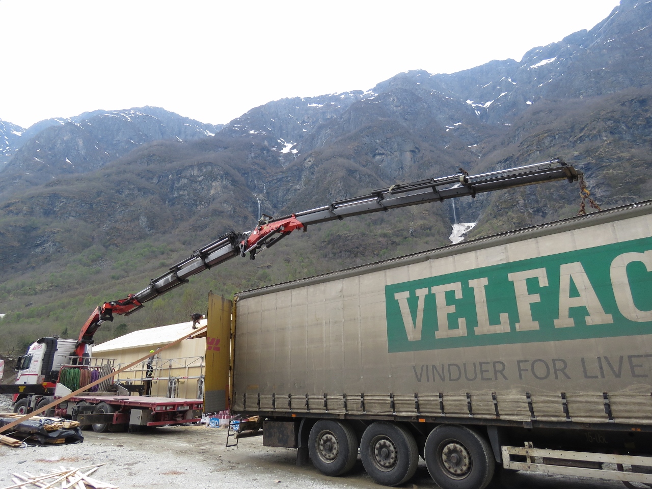 |
Knuckle Crane
Position: 6 50.55, 60 52.71
We love the reach of the knuckle cranes and would love to have one on Dirona.
|
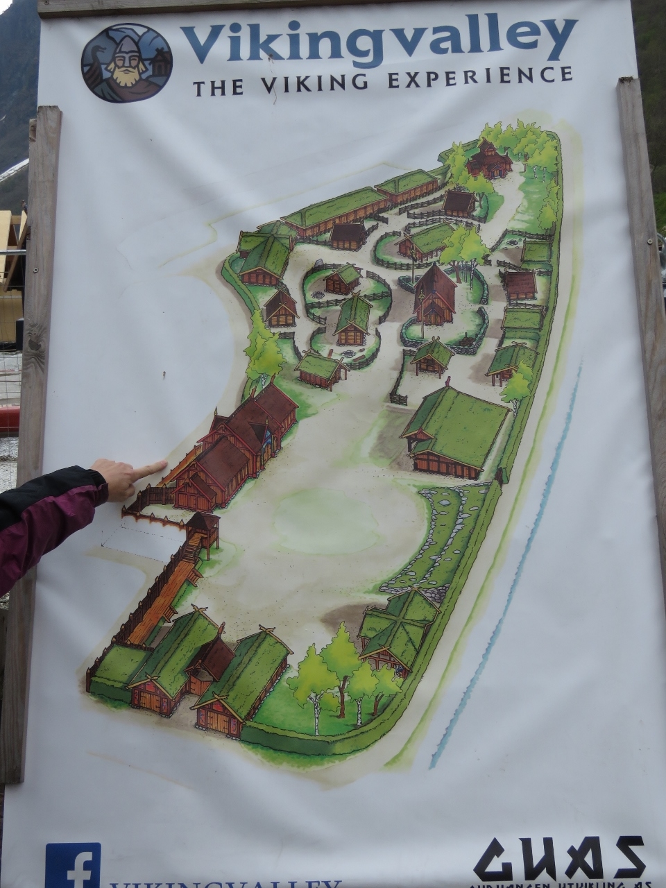 |
Vikingvalley
Position: 6 50.57, 60 52.74
The construction we saw earlier was to extend the Vikingvalley Viking Experience. Portions already were open, but looked designed to appeal to the cruise ship crowd and didn’t tempt us to visit.
|

|
Click the travel log icon on the left to see these locations on a map, with the complete log of our cruise.
On the map page, clicking on a camera or text icon will display a picture and/or log entry for that location, and clicking on the smaller icons along the route will display latitude, longitude and other navigation data for that location. And a live map of our current route and most recent log entries always is available at mvdirona.com/maps. |
I’m fairly sure that the “unknown box” is a portable sheeps feeder stall…
Ahh, that makes sense. Thanks Rikard.