The Stegastein Viewpoint juts 100ft (30m) out from the mountain 1,250ft (650m) above Aurlandsfjord. While in Flåm, we rented a car to visit the viewpoint and explore a few other attractions around Aurlandsfjord by road.
Below are trip highlights from May 7th in Flåm, Norway. Click any image for a larger view, or click the position to view the location on a map. And a live map of our current route and most recent log entries always is available at mvdirona.com/maps
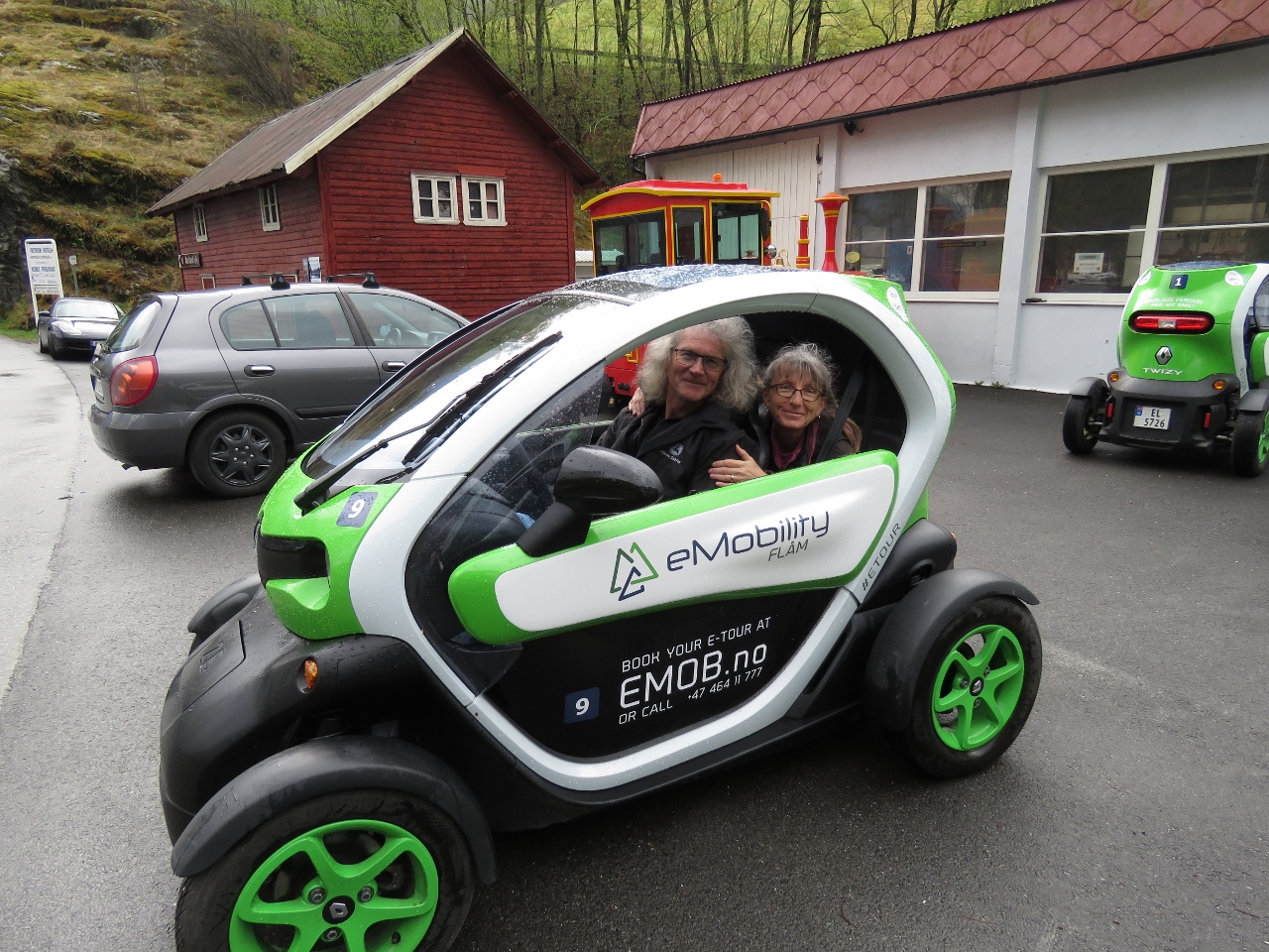 |
eMobility
Position: 7 6.90, 60 51.69
In a bid to minimize the environmental impact of tourism, the main form of rental car in Flåm are these Renault Twizy electric cars from eMobility. Here’s us in our Twizy, ready to go.
|
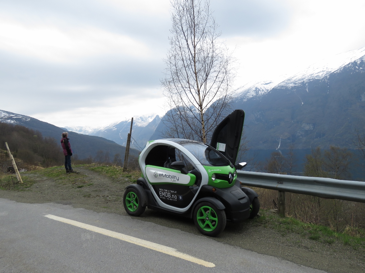 |
Twizy
Position: 7 12.77, 60 55.13
Taking in the view over Aurlandsfjord partway up to the Stegastein Viewpoint. You can see the Twizy has gull-wing doors and the left door is open.
|
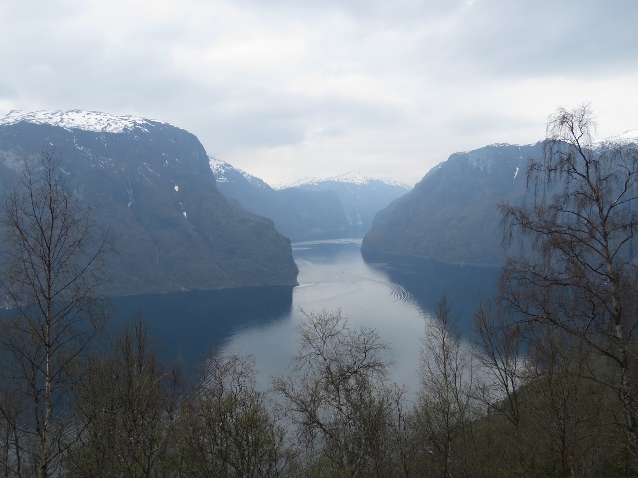 |
Aurlandsfjord
Position: 7 12.84, 60 55.02
Looking down Aurlandsfjord toward the junction with Nærøyfjord.
|
 |
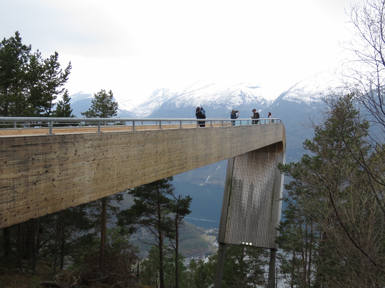
Stegastein Viewpoint
Position: 7 12.74, 60 54.52
The Stegastein Viewpoint juts 100ft (30m) out from the mountain 1,250ft (650m) above Aurlandsfjord.
|
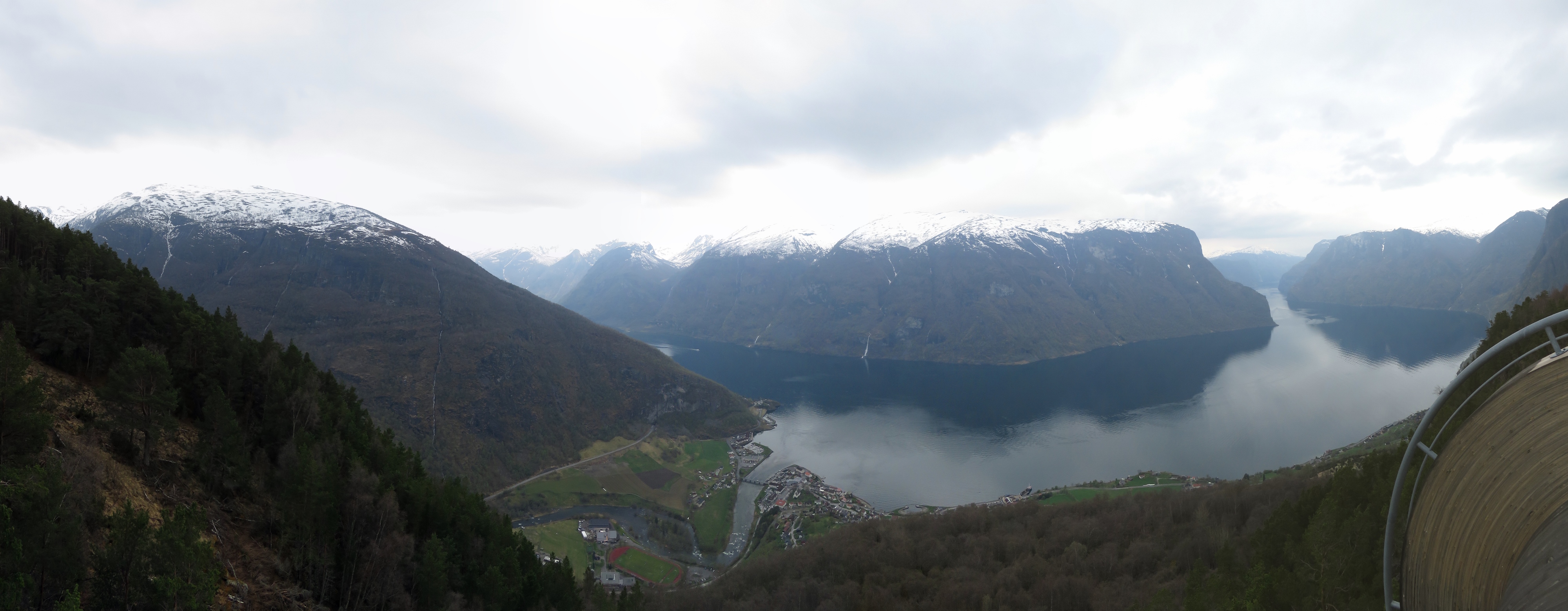 |
Platform View
Position: 7 12.71, 60 54.52
The sweeping view from Stegastein Viewpoint across Aurlandsfjord with the town of Aurlandsvangen directly below.
|
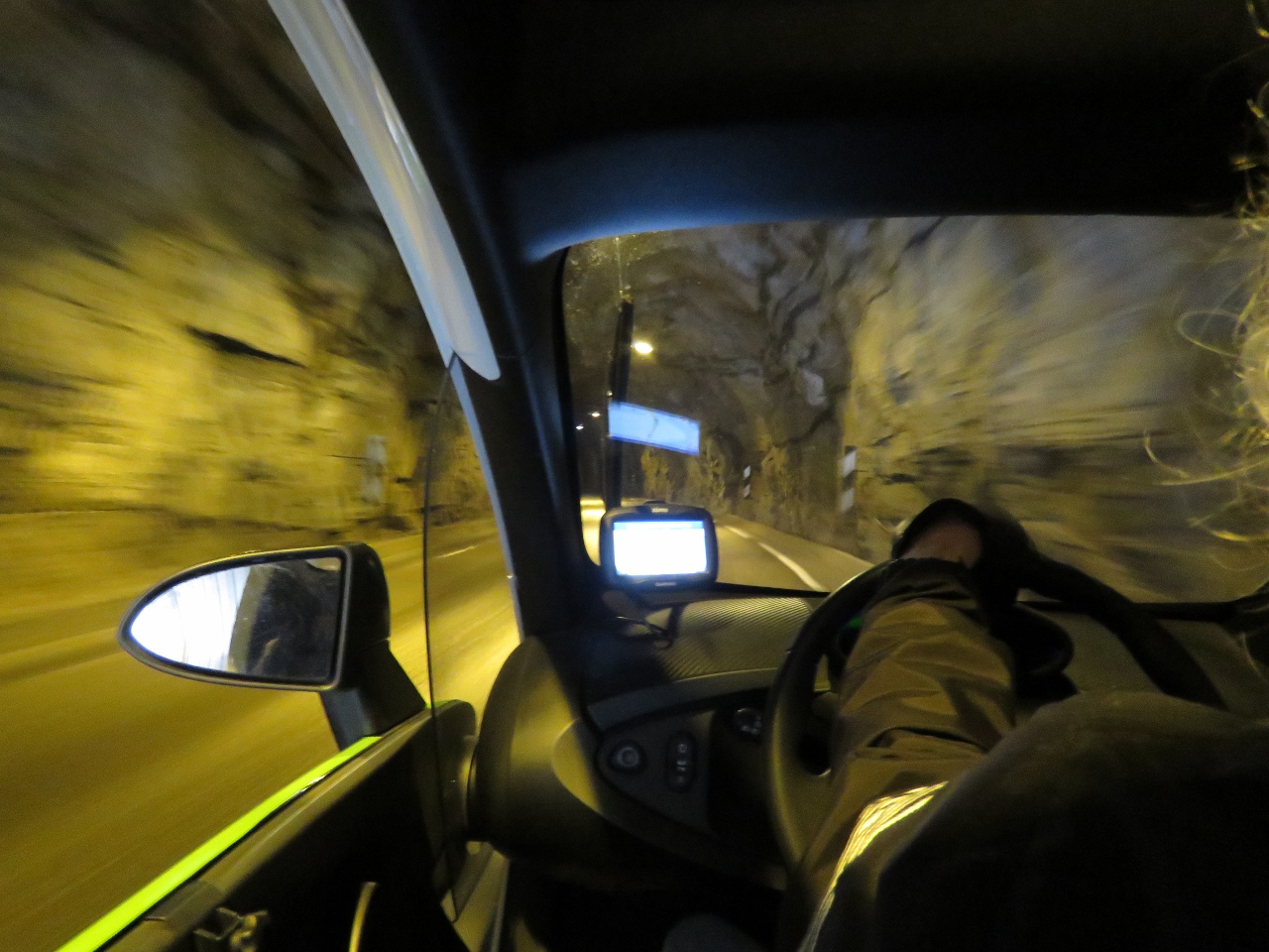 |
Tunnel
Position: 7 16.42, 60 52.32
Heading into a tunnel in our Twizy on our way up the river valley east of Aurlandsvangen.
eMobility offers two two-hour tours, one to the Stegastein Viewpoint and the other up the valley to the village of Vassbygdi just past the Aurland III power station. If you conserve power extremely carefully, it looked possible to be able to do both. So James was at his best driving behaviour ever. We did them both and were still one power indicator bar from the bottom when we returned to Flåm. |
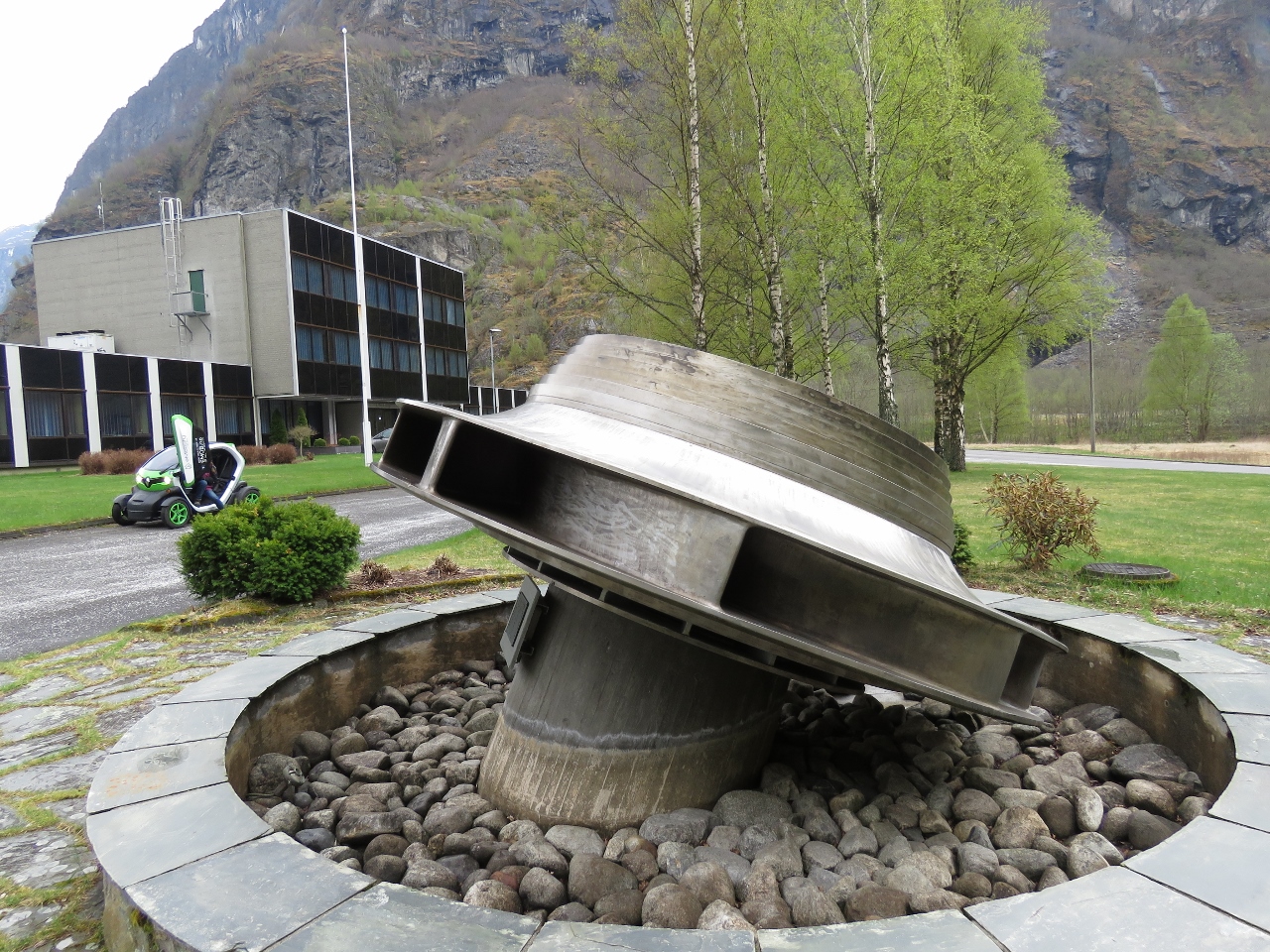 |
Turbine
Position: 7 19.31, 60 52.43
At the Aurland III power station. The facility isn’t open for tours, but they did have an impressive turbine mounted out front.
|
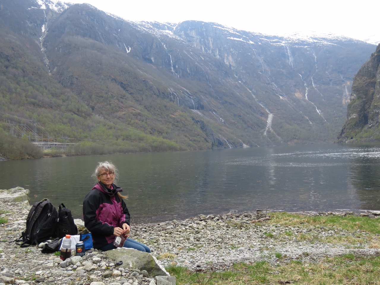 |
Vassbygdi Lake
Position: 7 18.68, 60 52.06
A quick lunch at the edge of the Vassbygdi Lake before returning back to Flåm.
|
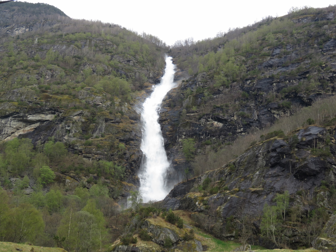 |
Turlifossen
Position: 7 13.07, 60 53.82
Turlifossen waterfall on the road back toward Aurlandsvangen.
|

|
Click the travel log icon on the left to see these locations on a map, with the complete log of our cruise.
On the map page, clicking on a camera or text icon will display a picture and/or log entry for that location, and clicking on the smaller icons along the route will display latitude, longitude and other navigation data for that location. And a live map of our current route and most recent log entries always is available at mvdirona.com/maps. |
If your comment doesn't show up right away, send us email and we'll dredge it out of the spam filter.