Inverness was a great stop before our trip down the Caledonian Canal. In our last few days there we toured the beautiful Ness Islands and more of the canal by bike, stocked up on provisions, and got some local knowledge on cruising the canal from Paisley residents Pamela and Neil White.
Below are trip highlights from October 10th through 13th in Inverness, Scotland. Click any image for a larger view, or click the position to view the location on a map. And a live map of our current route and most recent log entries always is available at http://mvdirona.com/maps
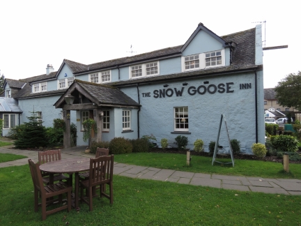 |
The Snow Goose
Position: -4 11.06, 57 28.97
We biked out to the Snow Goose pub and had an excellent lunch there. Our original plan was to continue north to visit Fort George, but the sidewalk that we’d hoped would extend the entire way ended and we found ourselves on the edge of a major highway inches from cars running at speed. The risk vs reward ratio didn’t balance out well so we returned back to Inverness to cycle through the Ness Islands south of town.
|
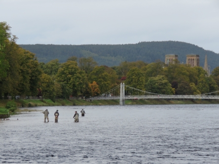 |
Fishers
Position: -4 13.71, 57 27.95
Fishers along the River Ness with Inverness Cathedral visible beyond the footbridge.
|
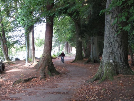 |
Ness Islands
Position: -4 13.84, 57 27.85
Biking through the beautiful Ness Islands park just outside Inverness. A series of pedestrian bridges connect the small islands that straddle the River Ness.
|
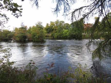 |
River Ness
Position: -4 13.86, 57 27.82
Swift current in the River Ness viewed from the Ness Islands.
|
 |
Bridge
Position: -4 14.14, 57 27.71
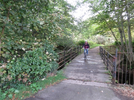
Jennifer crossing one of the many pedestrian bridges in and around the Ness Islands.
|
 |
Tomnahurich Bridge
Position: -4 14.65, 57 27.87
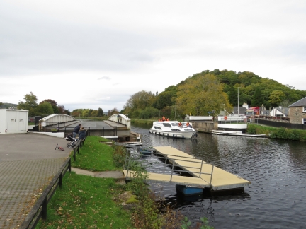
From the Ness Islands, we continued west to see more of the Caledonian Canal. This is the Tomnahurich Bridge, the third bridge in the Inverness area. The boat passing through is a charter boat—chartering is extremely popular on the Caledonian Canal.
|
 |
Groceries
Position: -4 10.55, 57 29.02
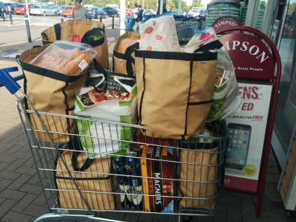
When you only shop once a month, you buy a lot of groceries. Our last grocery purchase was four weeks ago in Stornoway.
The brown grocery bags are Earthtote Reusable Bags from reuseit.com. We love them–they last super-well (we’ve never replaced one yet), we can pack them right to the top, and they can handle very heavy loads. When transferring groceries to the boat (and sometimes to the dinghy first), it’s much more convenient to have a few large sturdy bags than many smaller ones that might rip and risk dropping items in the water. They’re also great for loading up our folding cart to maximum capacity. |
 |
Maintenance
Position: -4 14.06, 57 29.67
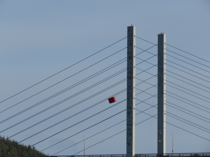
From our berth at Inverness Marina, we noticed this red box suspended from the Kessock Bridge. An interesting approach to bridge wire maintenance where a two-person car rides on the suspension wire and can be pulled up to the top or lowered down to the bottom.
|
 |
UK Customs
Position: -4 14.06, 57 29.67
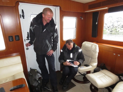
A friendly visit from UK Customs. They were patrolling the coast on their vessel Seeker, noticed the US flag and came over to ensure we’d properly cleared through into the UK. This we’d done at Rathlin Island three months ago over the phone via the UK’s National Yachtline.
|
 |
RNLB Macquarie
Position: -4 14.06, 57 29.67
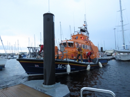
The RNLB Macquarie heading out. We were wondering where they’d gone after the boat didn’t come back that night, and it turns out they were only here temporarily. The main RNLI station here is at Kessock under the Kessock Bridge.
|
 |
Castle Tavern
Position: -4 13.51, 57 28.50
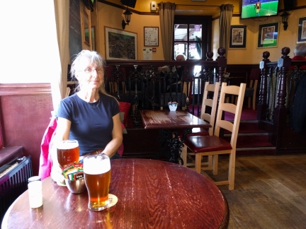
An excellent lunch at the Castle Tavern overlooking the River Ness.
|
 |
EE
Position: -4 13.27, 57 28.76
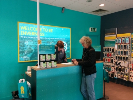
We stopped in at the Inverness Mall to purchase a new UK SIM card. The package we’d purchased with O2 in Greenock supported data only and we couldn’t renew it online with a non-UK credit card. We decided instead to get a package with EE that would allow us to make local calls and renew online with our US credit card.
|
 |
Pamela and Neil White
Position: -4 14.06, 57 29.67
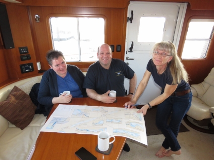
Pamela and Neil White stopped by to visit, and shared some local knowledge about the Caledonian Canal. They live in Paisley, near Greenock, and noticed Dirona at James Watt Dock Marina earlier this year. Neil’s company, Saltire Marine Services, provides a variety of marine services such as boat delivery and captain services. He’s recently been skippering the Glen Tarson through the Caledonian Canal and the Inner Hebrides and is docked nearby at Muirtown Basin just inside the Caledonian Canal.
|

|
Click the travel log icon on the left to see these locations on a map, with the complete log of our cruise.
On the map page, clicking on a camera or text icon will display a picture and/or log entry for that location, and clicking on the smaller icons along the route will display latitude, longitude and other navigation data for that location. And a live map of our current route and most recent log entries always is available at http://mvdirona.com/maps. |

Shame about not making it to Fort George(but that road is crazy), its impressive and still an active army barracks that I spent far too much time at over the years. Looks like its going to be sold in the latest round of cutbacks which is sad as it has a regimental museum there.
Hey Euan, good hearing from you. We got part way out the road to Fort George expecting a nice bike ride but, as you said, the road is nuts. There is zero shoulder and super heavy traffic — we ended up deciding to take a our bikes in a different and safer direction and never did make the trip to Ft George. But, we enjoyed Inverness and the Caledonian Canal was awesome.