Vatersay Island is known for its sweeping sand beaches, with a popular and roomy anchorage at Vatersay Bay. From our anchorage at Berneray Island, we took an indirect route north to Vatersay Bay to take in the seascape on the exposed sides of Berneray and Mingulay, among the most dramatic in the British Isles.
Trip highlights from August 24th, 2017 follow. Click any image for a larger view, or click the position to view the location on a map. And a live map of our current route and most recent log entries always is available at http://mvdirona.com/maps
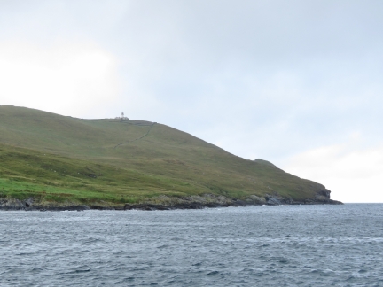 |
Lighthouse
Position: -7 37.71, 56 47.42
View to the lighthouse on Berneray Island from our anchorage.
|
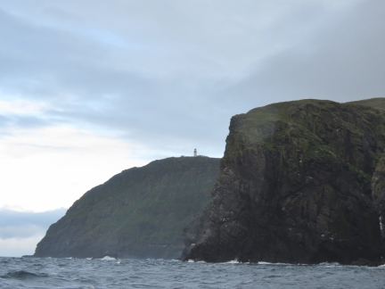 |
Barra Head
Position: -7 37.97, 56 46.51
We took an indirect route north to Vatersay Bay to take in the seascape on the exposed sides of Berneray and Mingulay, among the most dramatic in the British Isles. In the foreground is Barra Head, the most southern point in the Outer Hebrides, with the lighthouse visible high on the cliff beyond.
|
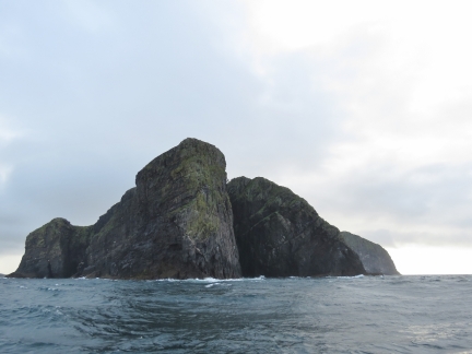 |
Skate Point
Position: -7 39.83, 56 47.09
Looking east across the 623ft (190m) sheer cliffs at Skate Point on the western end of Berneray Island. The lighthouse is just barely visible between the two foreground cliffs.
|
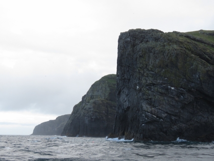 |
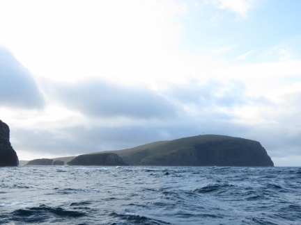
Dun Mingulay
Position: -7 40.09, 56 47.84
Looking north from the southwest corner of Mingulay, with the promontory of Dun Mingulay in the foreground and Arnamul behind.
|
 |
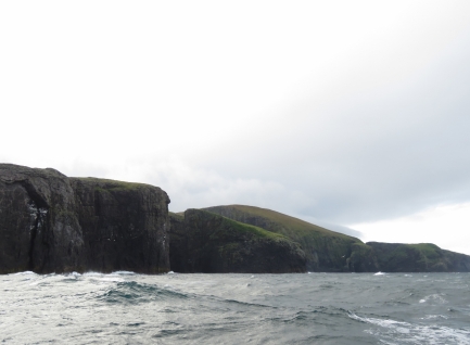
Berneray
Position: -7 40.40, 56 48.07
Berneray Island to our south, viewed across Geirum Mor and Geirum Beag off Mingulay.
|
 |
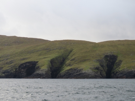
Lianamul
Position: -7 39.76, 56 49.34
Looking south along Mingulay with Guarsa Mor in the foreground, wedge-shaped Lianamul Island at center, and the 705ft (215m) cliffs of Biulacraig beyond. Islanders once scaled those treacherous cliffs to collect seabird eggs.
|
 |
Bay Sletta
Position: -7 39.33, 56 49.65
Vibrant green hillsides fed by frequent rains and cut deeply by the run-off east of Bay Sletta on the northwest coast of Mingulay.
|
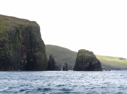 |
Ram Head
Position: -7 37.60, 56 50.07
Spires and small off-lying rocks at Ram Head on the northern tip of Mingulay. The exposed coast definitely lived up to its reputation as one of the most dramatic in the British Isles. From here, we ran east through the Sound of Mingulay to reach Vatersay Bay.
|
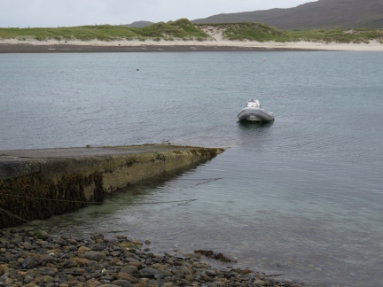 |
Ramp
Position: -7 31.85, 56 55.25
Our tender tied off at the boat ramp at Vatersay Bay near low tide.
|
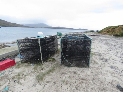 |
Traps
Position: -7 31.85, 56 55.25
Large traps stacked on the shore near the Vatersay Bay boat ramp.
|
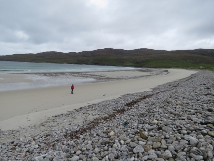 |
Bagh Siar
Position: -7 32.63, 56 55.28
Jennifer walking the beautiful sand beach at Bagh Siar on the outer coast of Vatersay Island.
|
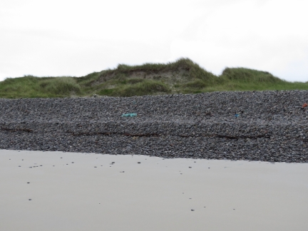 |
Rock Wall
Position: -7 32.62, 56 55.33
The force of storms has worn these rocks smooth and thrown them up into an ten-foot rock wall. This must be an impressive place to watch a westerly blow.
|
 |
Net Debris
Position: -7 32.56, 56 55.37
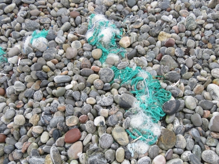
Net debris among the rock wall at Bagh Siar. We hope never to catch something like that in our propeller while at sea.
|
 |
Sandcastle
Position: -7 32.49, 56 55.55
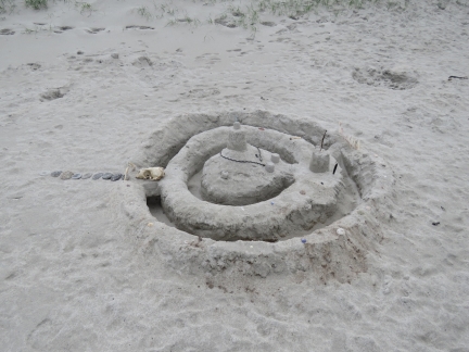
An impressive sandcastle, complete with moat and drawbridge, on the outer beach at Vatersay Island.
|
 |
Heishival Mor
Position: -7 32.30, 56 55.81
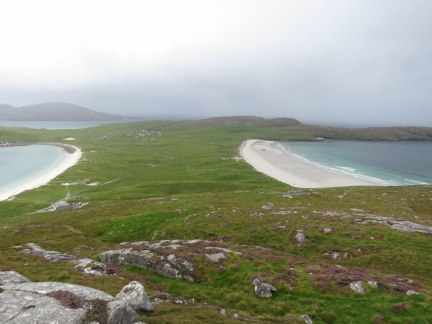
Looking north from partway up 625ft (190m) Heishival Mor across the isthmus between Vatersay Bay (left) and Bagh Siar (right) with Sandray Island visible in the distance across the Sound of Sandray. Dirona is anchored in Vatersay Bay, out of the picture to the left.
|
 |
Hot Chocolate
Position: -7 32.16, 56 55.64
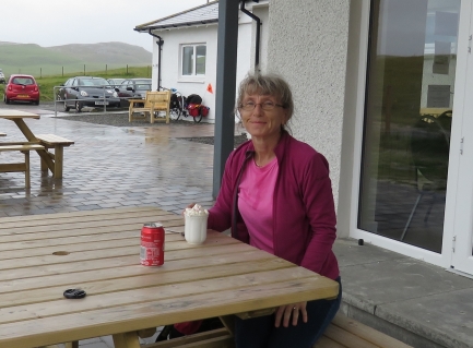
On reaching the top of Heishival Mor, we turned around and saw a dark raincloud rapidly approaching. We hoofed it down the hill to the small cafe visible at the bottom left of the previous photo, getting a bit soaked in the process. Jennifer is enjoying a hot chocolate with marshmallows and whipped cream while we wait out the rain.
|

|
Click the travel log icon on the left to see these locations on a map, with the complete log of our cruise.
On the map page, clicking on a camera or text icon will display a picture and/or log entry for that location, and clicking on the smaller icons along the route will display latitude, longitude and other navigation data for that location. And a live map of our current route and most recent log entries always is available at http://mvdirona.com/maps. |

If your comment doesn't show up right away, send us email and we'll dredge it out of the spam filter.