The Intracoastal Waterway continues south past Charleston through Wappoo Creek. We returned briefly to the ICW on a tour of the area by tender that included a run up the Ashley River beyond our marina, and a pass by the Port of Charleston where we watched the tugs Moira McAllister and Patrick McAllister assist the Maersk Missouri into port.
Trip highlights from January 12th, 2017 in Charleston, SC follow. Click any image for a larger view, or click the position to view the location on a map. And a live map of our current route and most recent log entries always is available at http://mvdirona.com/maps
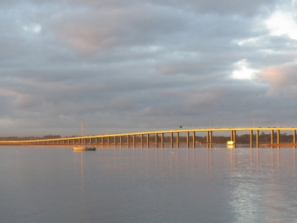 |
Sunrise
Position: -79 57.03, 32 46.57
Sunrise lighting up the James Island Expressway Bridge.
|
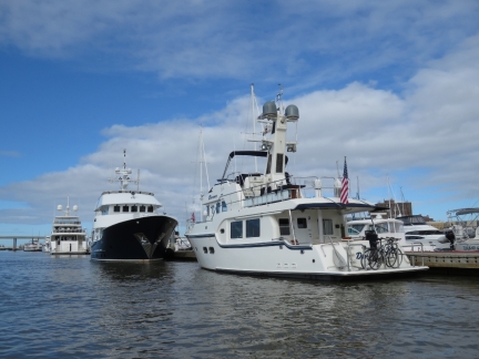 |
Hercules
Position: -79 57.03, 32 46.57
Out in the tender looking back to Hercules and Dirona on the Charleston City Marina dock.
|
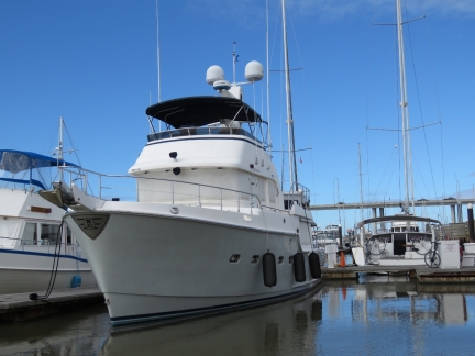 |
Wayfinder
Position: -79 57.22, 32 46.72
Nordhavn 47 Wayfinder at the Harborage at Ashley Marina.
|
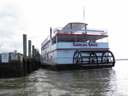 |
Carolina Queen
Position: -79 57.23, 32 46.70
The outgoing Ashley River current pushing the very loosely-tied Carolina Queen off the dock.
|
 |
Heart Beat
Position: -79 57.47, 32 46.97
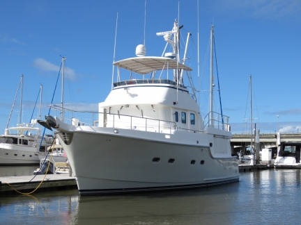
Heart Beat is the third Nordhavn 47 we’ve seen in Charleston.
|
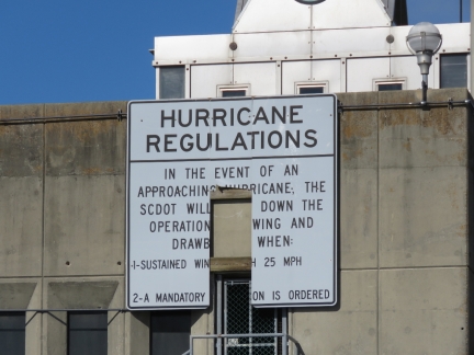 |
Hurricane Regulations
Position: -79 57.59, 32 47.00
Looks like a strong winds might have damaged the hurricane regulations sign.
|
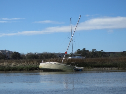 |
Aground
Position: -79 57.70, 32 46.88
More vessels aground along the Ashley River. Several have orange markers on them.
|
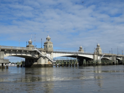 |
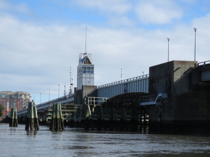
Ashley River Memorial Bridge
Position: -79 57.72, 32 46.95
The historic Ashley River Memorial Bridge was opened in 1926 and is one of four drawbridges in South Carolina.
|
 |
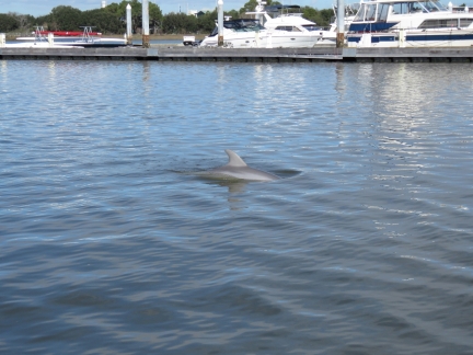
Ashley River Bridge
Position: -79 57.72, 32 46.95
A second bridge was added across the Ashley River in the 1960s to handle increased traffic.
|
 |
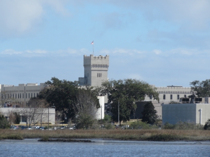
Dolphin
Position: -79 57.73, 32 47.04
The Ashley River is full of dolphins. We see them all the time from our berth.
|
 |
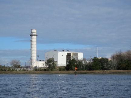
The Citadel
Position: -79 58.37, 32 47.81
View to the Ashley River of The Citadel military college. Established in 1842, the Citadel is one of six Reserve Officers’ Training Corps (ROTC) colleges in the United States.
|
 |
Hagood Power Station
Position: -79 57.93, 32 49.17
The Hagood natural gas turbine power station can generate up to 122 MW.
|
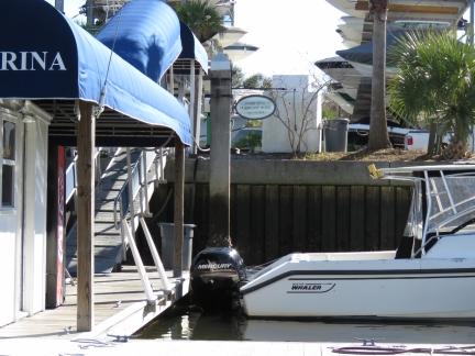 |
Hurricane Hugo
Position: -79 57.85, 32 46.59
The circular sign directly above the stern of this boat at Ripley Light Marina shows where the water level reached during Hurricane Hugo.
|
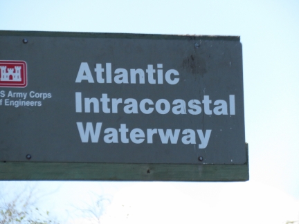 |
Back on the ICW
Position: -79 57.24, 32 46.34
We’re back on the Intracoastal Waterway, but this time just in the tender. The ICW continues south from Charleston along the Wappoo Creek.
|
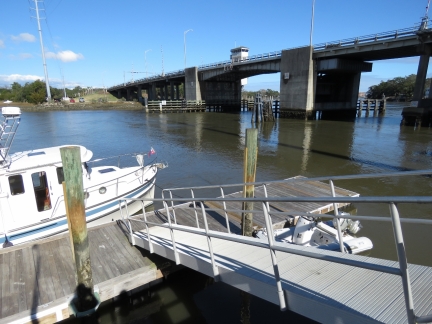 |
Charleston Crab House
Position: -79 58.48, 32 45.95
The tender tied off on the Charleston Crab House dock for lunch.
|
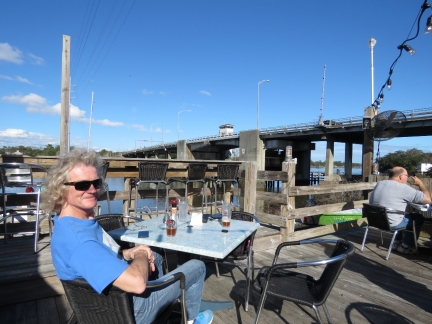 |
Lunch
Position: -79 58.49, 32 45.94
An excellent lunch on the deck at the Charleston Crab House with a view to the Folly Road Blvd Bridge. With a bridge view along the ICW, we felt like we were back at the Waterside Cafe in Palm Beach.
|
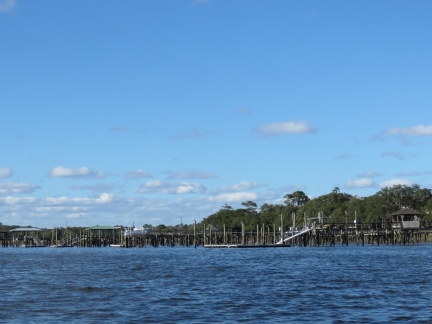 |
Docks
Position: -80 0.17, 32 46.02
A mass of pilings from docks extended out across the shallows along the Stono River. The docks are clearly visible in satellite imagry of the area.
|
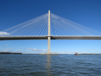 |
Bridge
Position: -79 55.09, 32 48.09
A great view to the Arthur Ravenel Jr. Bridge from the tender. The tug Moira McAllister is passing under.
|
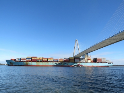 |
Maersk Missouri
Position: -79 55.06, 32 48.27
The Maersk Missouri has plenty of room to pass under the 186ft Arthur Ravenel Jr. Bridge, but it still looks tight.
|
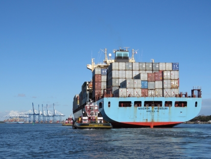 |
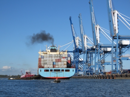
Moria McAllister
Position: -79 54.58, 32 49.01
The tugs Moira McAllister and Patrick McAllister assisting the Maersk Missouri into port.
|
 |
Wando Welch Terminal
Position: -79 53.65, 32 49.77
A big puff of black smoke from the Maersk Missouri as it nears the berth at the Wando Welch Terminal in the Port of Charleston.
|
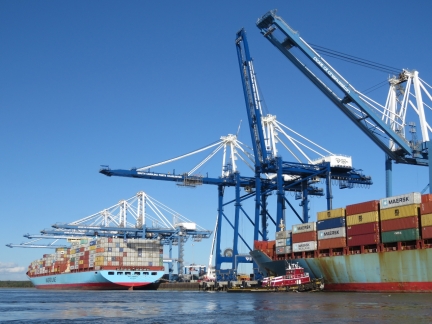 |
Cranes
Position: -79 53.59, 32 49.98
Last year the Port of Charleston took delivery of two new super post-Panamax cranes to handle the oversized container ships arriving via the expanded Panama Canal. (The new cranes are a darker blue than the rest and are standing between the Maersk Missouri and the Axel Maersk.) The $27 million cranes are 155 feet tall with a 200-ft outreach. The Port of Charleston also has plans to dredge the channel to a depth of 52ft by 2019.
|
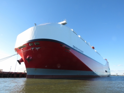 |
Orion Highway
Position: -79 55.54, 32 47.65
The Roll-On/Roll-Off (RORO) vehicle carrier Orion Highway at the North Charleston Terminal. The ship was built in 2016 with a modern hull shape to maximize vehicle carrying capacity. The bridge on the Orion Highway is right above the bow rather than the more common, and more protected, amidships or aft.
|
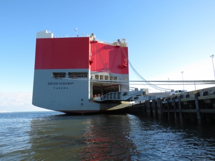 |
Loading
Position: -79 55.64, 32 47.81
New vehicles from the nearby BMW plant being loaded onto the Orion Highway. That sure is a boxy-looking ship.
|
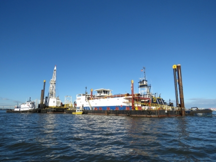 |
Dredger
Position: -79 55.38, 32 46.94
That dredger we saw a few days earlier is still at work.
|

|
Click the travel log icon on the left to see these locations on a map, with the complete log of our cruise.
On the map page, clicking on a camera or text icon will display a picture and/or log entry for that location, and clicking on the smaller icons along the route will display latitude, longitude and other navigation data for that location. And a live map of our current route and most recent log entries always is available at http://mvdirona.com/maps. |

Chris my husband and I used to own Wayfindwr. We commissioned it and waited 2 years for it to be built. I have lots of pictures of it being built and where we traveled. If you want any just contact me
I just bought that N47, Wayfinder! It was right where you left it.
It’s a nice looking boat.
Hey Chris – Wayfinder was originally my grandparents’ boat back in 04-08, any chance you’d have an updated photo?
Thanks!