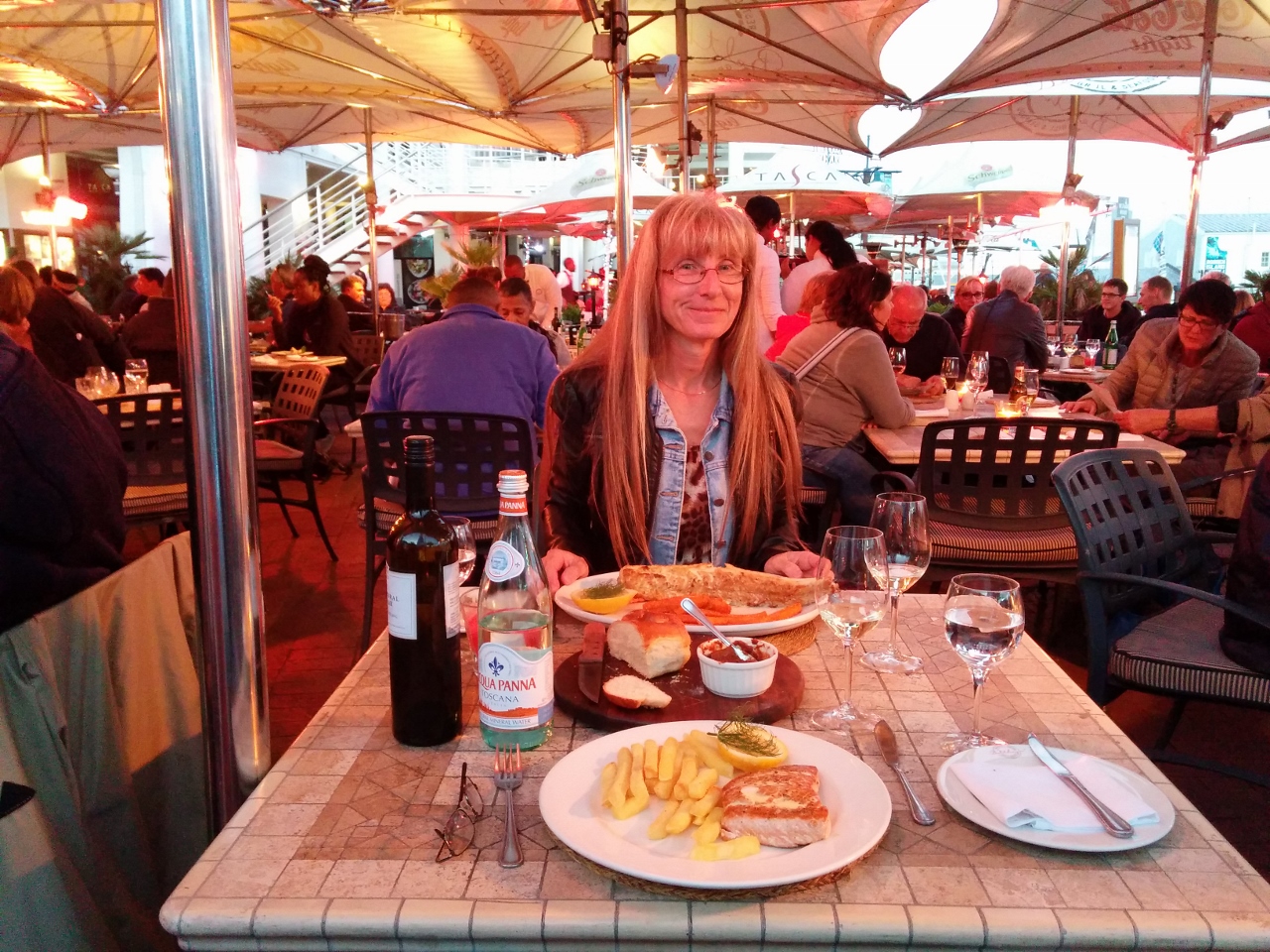
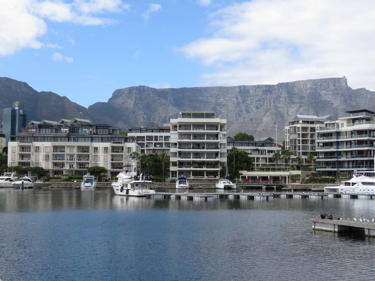
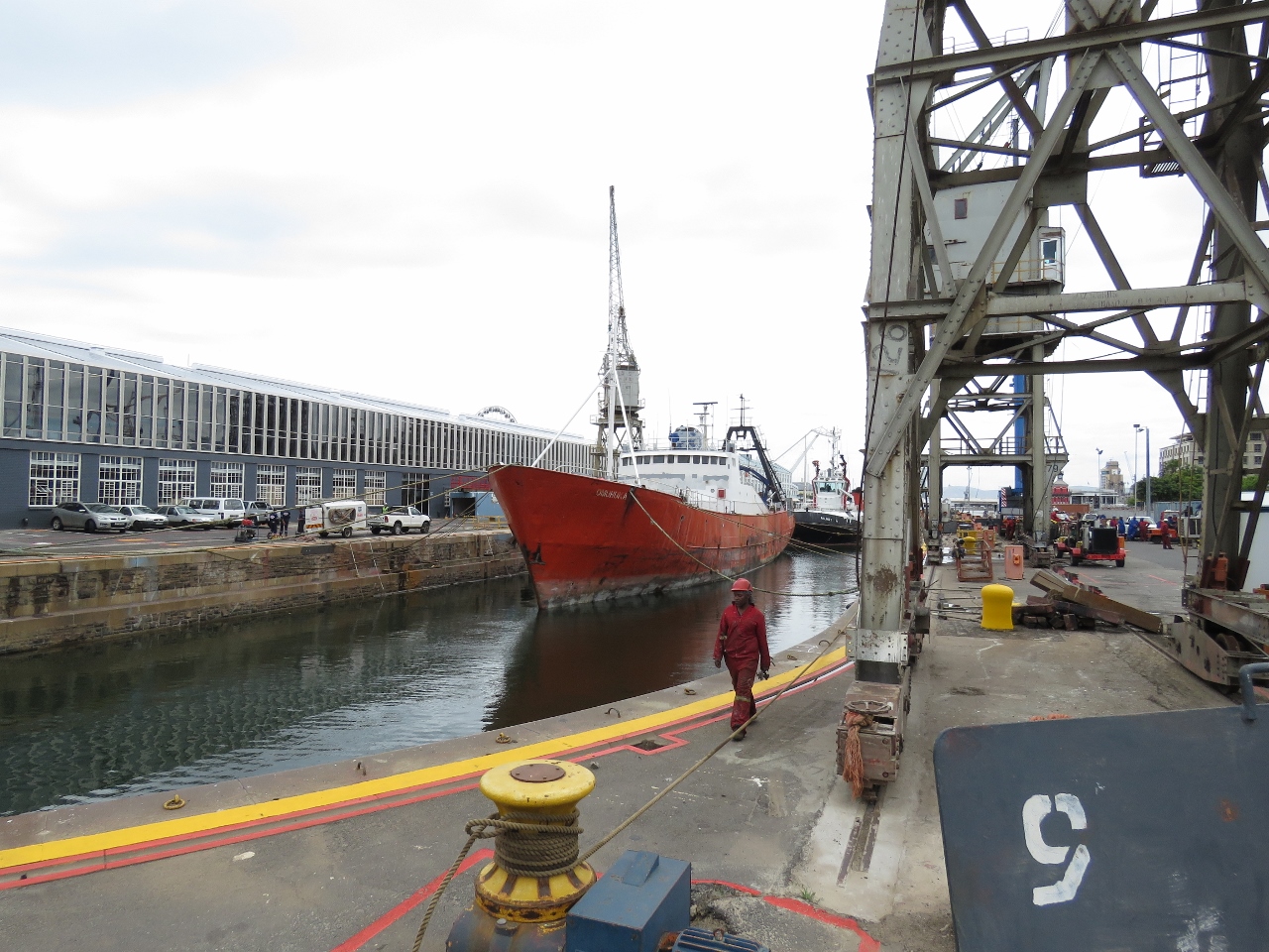
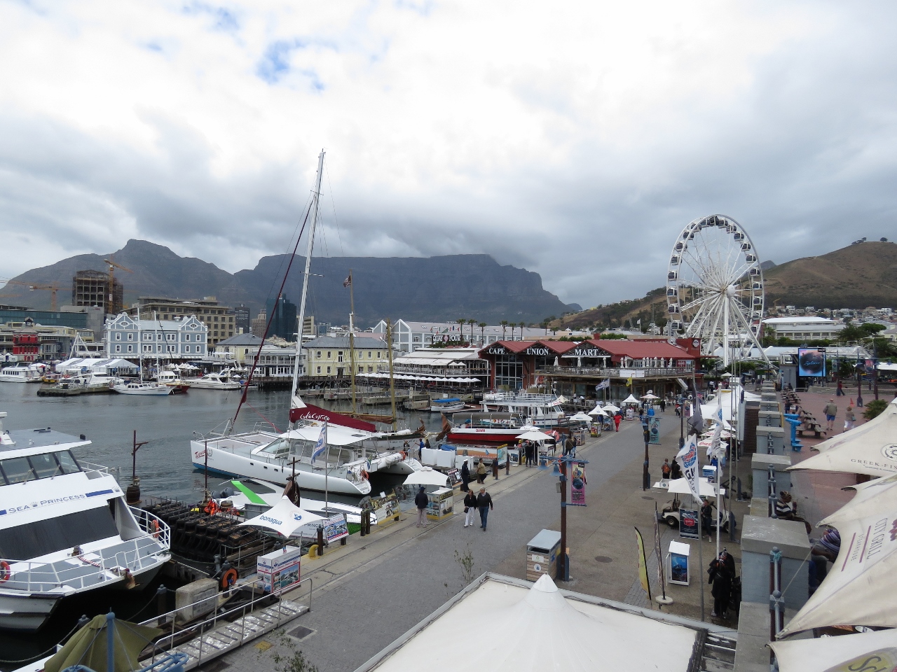
The Victoria and Alfred (V&A) Waterfront is a major South-African tourist attraction that draws over 23 million visitors per year. The property was transformed from a largely derelic and underutlized commercial wharf and storage area in the 1970s to a fabulous selection of restaurants, shops and tourist venues, plus condos and hotels while remaining a working waterfont. Also included in the development was the beautiful V&A Waterfront Marina, where we are moored within easy walking distance of all the attractions. We spent our first couple of days in Cape Town exploring the V&A Waterfront and enjoying some excellent meals.
Trip highlights from Nov 20th and 21st follow. Click any image for a larger view, or click the position to view the location on a map. And a live map of our current route and most recent log entries always is available at http://mvdirona.com/maps
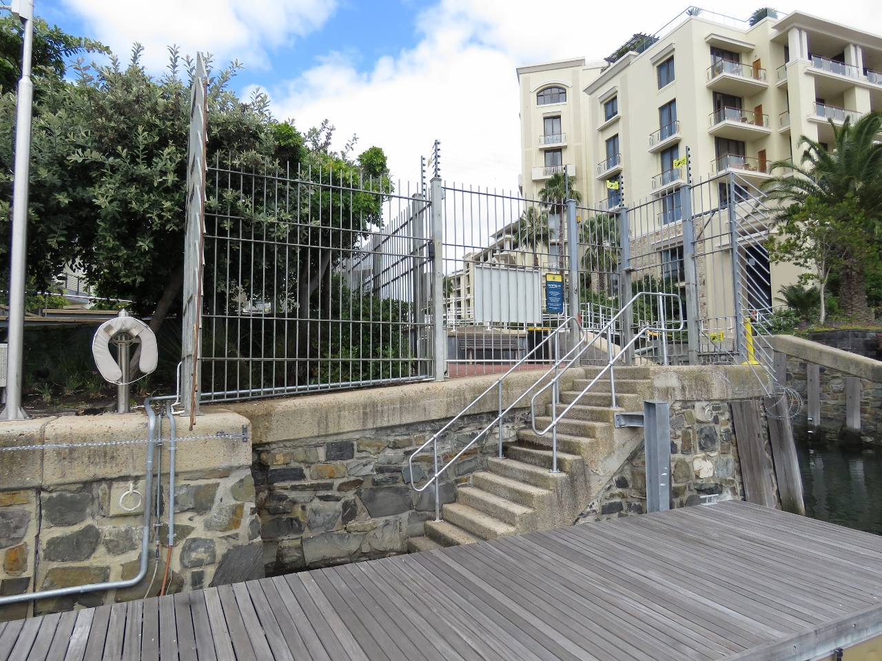 |
Entry gate
Position: 18 25.07, -33 54.54
The marina basin was built in the 1800s and later converted into the V&A waterfront complex. These might be original steps that lead ashore from our dock. It’s a little unusual for a dock to be accessible only through stairs–hopefully we won’t need to transport anything heavy or wheeled.
|
 |
Lock
Position: 18 25.05, -33 54.53
This small lock leads to a canal between residential buildings behind the marina basin.
|


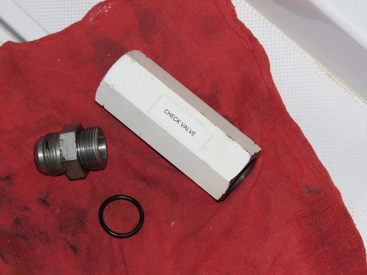

Looks like you’ve both been having a splendid time. Trust your Thanksgiving was wonderful too. Glad you caught those leaks. I’ve heard some nightmare stories about hydraulic lines bursting!
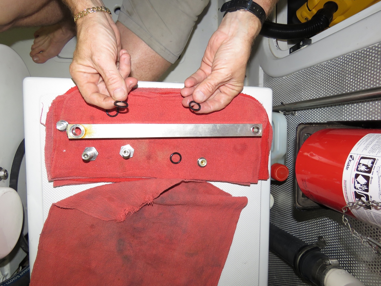
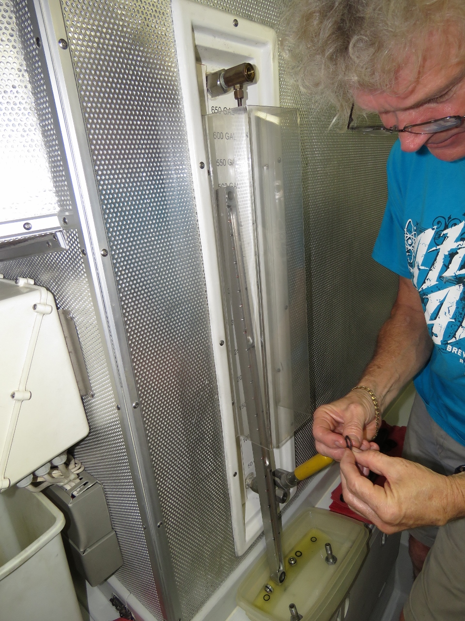
This leak was really more dampness on the outside of the hose rather than a leak but my take is if I keep everyting dry, then I see most problems early. And, if I see problems early, we are much less likely to get one of the big hydraulic problems you have heard about. I suppose A blown line can come from nowhere but we try to catch as many potential issues as we can early before they have a chance to develop into a big problems later.
Yes, as they say, “An ounce of prevention is worth a pound of cure” :)