
After 10 days in Rodrigues, we made a 3-night, 467-nm trip to Reunion. Port Louis, Mauritius is the typical next port for most pleasure craft–we don’t know of a single other pleasure craft that’s gone to Reunion directly from Rodrigues. If we didn’t have to clear out and clear back in again at Port Louis, we might have gone there first. But we didn’t see enough appeal to warrant the clearance overhead and opted to stay longer in Rodrigues and then head straight for Reunion and spend more time there enjoying the scenery Reunion is famous for.
Trip highlights from Sept 22nd through 25th follow. Click any image for a larger view, or click the position to view the location on a map. And a live map of our current route and most recent log entries always is available at http://mvdirona.com/maps
|
|
Certificate of Clearance
Position: 63 25.21, -19 40.85
We cleared out of Rodrigues this morning on a 467nm run to Reunion. Port Louis, Mauritius is the typical next port for most pleasure craft leaving Rodrigues and the paperwork customs brought reflected that. They corrected it by hand to read Reunion Island.
|
 |
Traffic
Position: 61 59.49, -19 52.17
As when we neared Rodrigues, we’re seeing a lot of shipping traffic west of the island as well. The ships are all passing between South Africa and the Strait of Malacca. Conditions have been a little rough, with 10ft seas on the beam. 10 feet actually is not a problem at all, it’s the 7-second wave frequency. Long-duration waves just slowly lift the boat up and lower it back down again and you hardly notice it. Short duration waves are steep and cause the boat to roll much more.
|
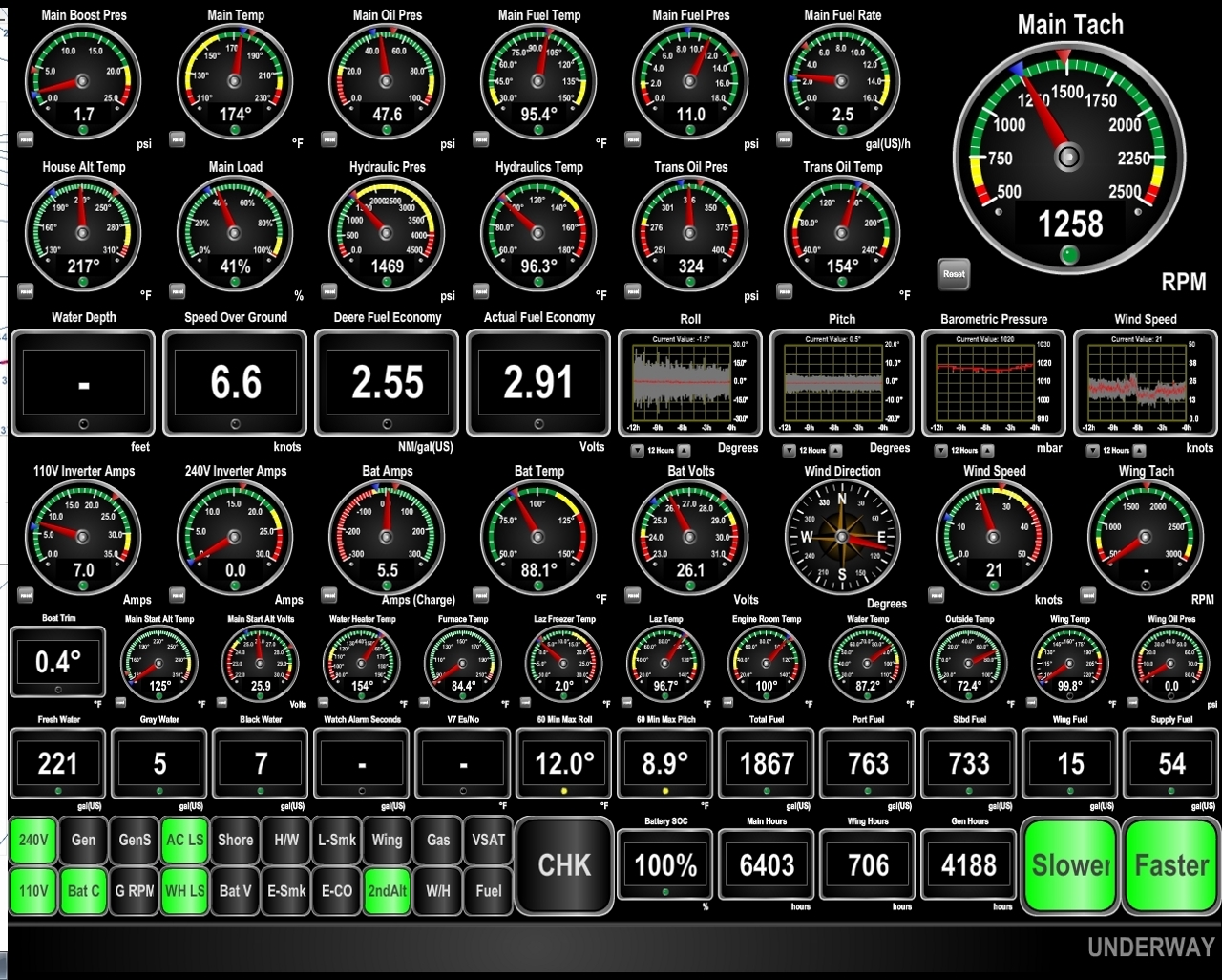 |
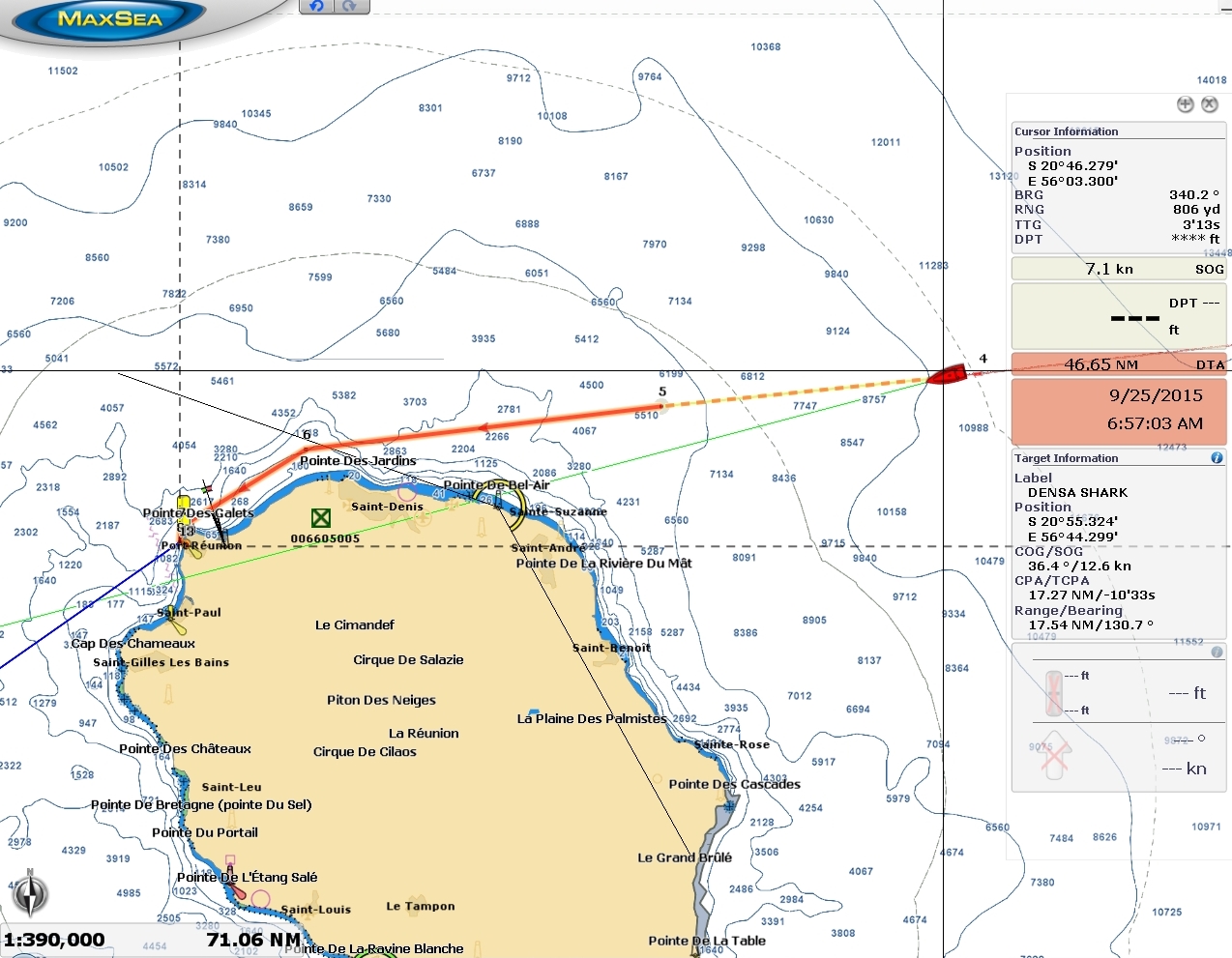
Current
Position: 60 48.59, -20 4.16
We left Rodrigues with 2,013 gallons of diesel and South Africa is about 1,835 miles from Rodrigues via Reunion. So we have far more fuel than we will need for this run. We could easily be running 8 or 9 knots, but are running at 6.5-6.8 in order to arrive into Reunion at first light rather than the middle of the night. We’re in one of the strongest positive currents we’ve ever been in and are getting a fuel economy of 2.91 nm/gallon. You can see from the roll guage directly right of the 2.91 nm/g fuel economy reading that sea conditions have improved as expected. The waves are now 8-9ft on 8-9 seconds and have shifted more to the stern. These conditions aren’t bad-we’ll cook and do everything as usual–but the boat is moving enough you still have to keep an eye on things as you move around.
|
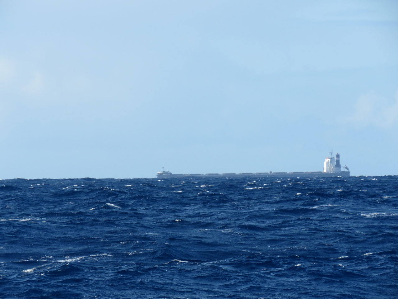 |
Ship
Position: 60 47.33, -20 4.37
Most of the shipping traffic we’ve encountered has been at night, but we actually did see one in daylight too. It looks huge.
|
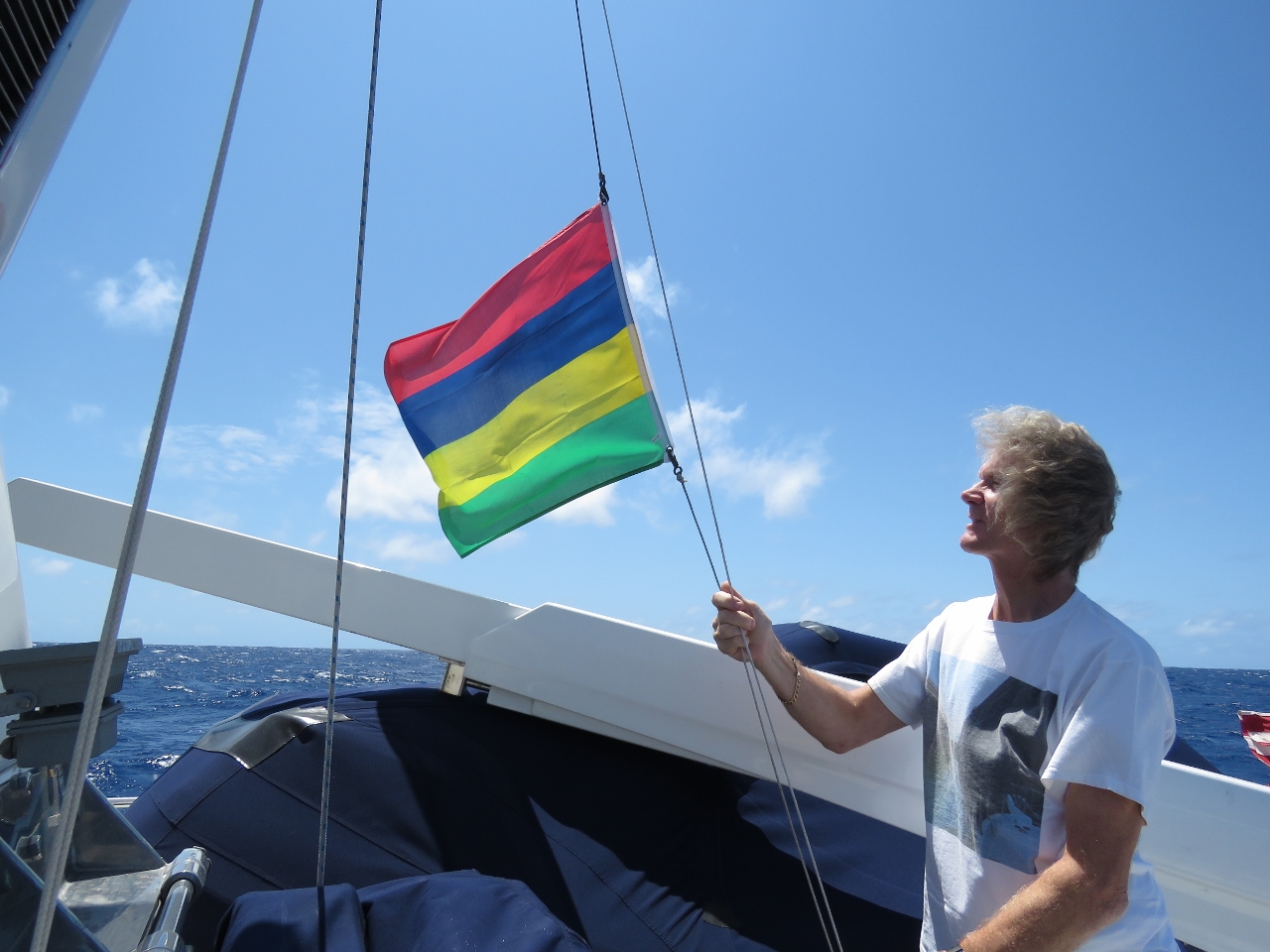 |
Courtesy flag
Position: 60 17.94, -20 9.35
Taking down our Mauritian courtesy flag.
|
 |
Fuel economy
Position: 58 2.79, -20 32.13
We’re still running in a strong positive current as we near Mauritius, with excellent fuel economy. Conditions have continued to settle, and we’re rolling much less than 24 hours earlier.
|
 |
Halfway around
Position: 57 32.95, -20 37.16
As we pass south of Mauritius, we’re exactly halfway around the world from Seattle.
|
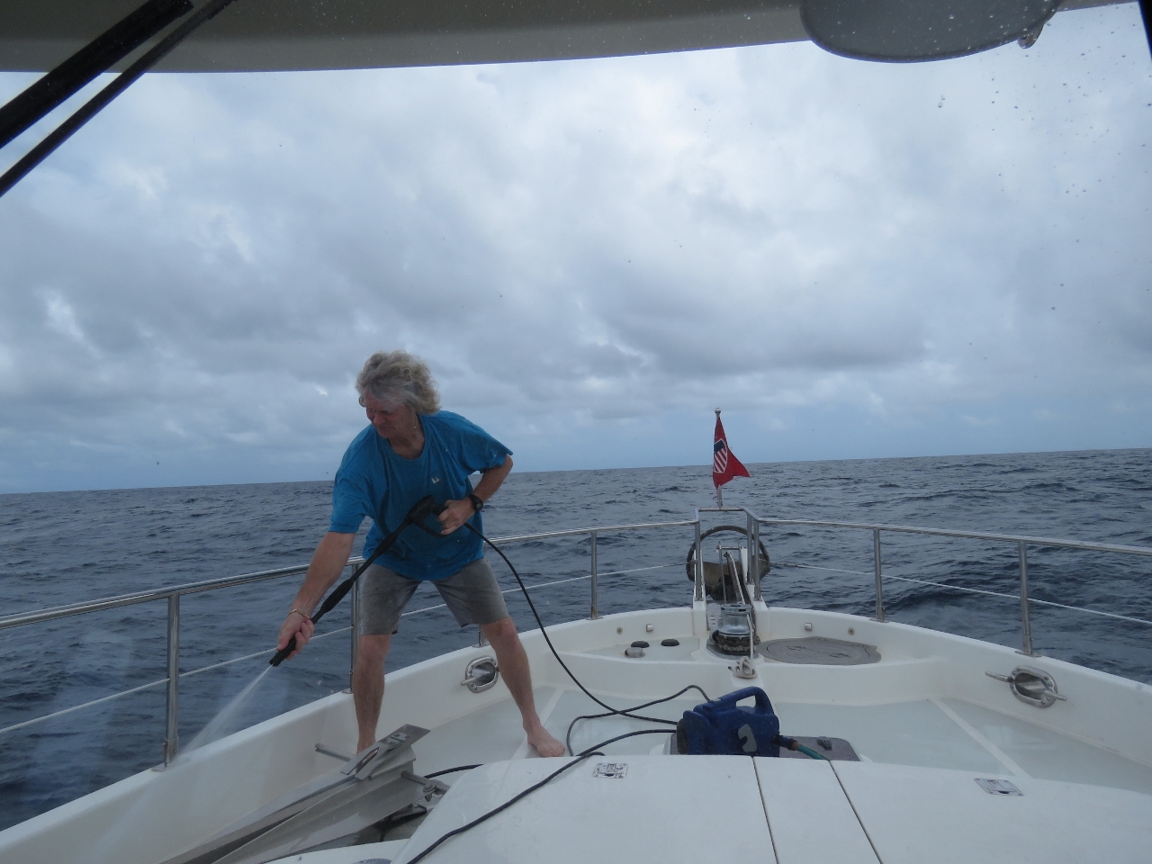 |
Boat wash
Position: 57 31.75, -20 37.34
The boat was pretty dirty from being moored off the commercial port at Rodrigues, and we got quite salty on the first day of our run to Reunion. We haven’t had much rain to rinse us off, so James gave it a quick power wash.
|
 |
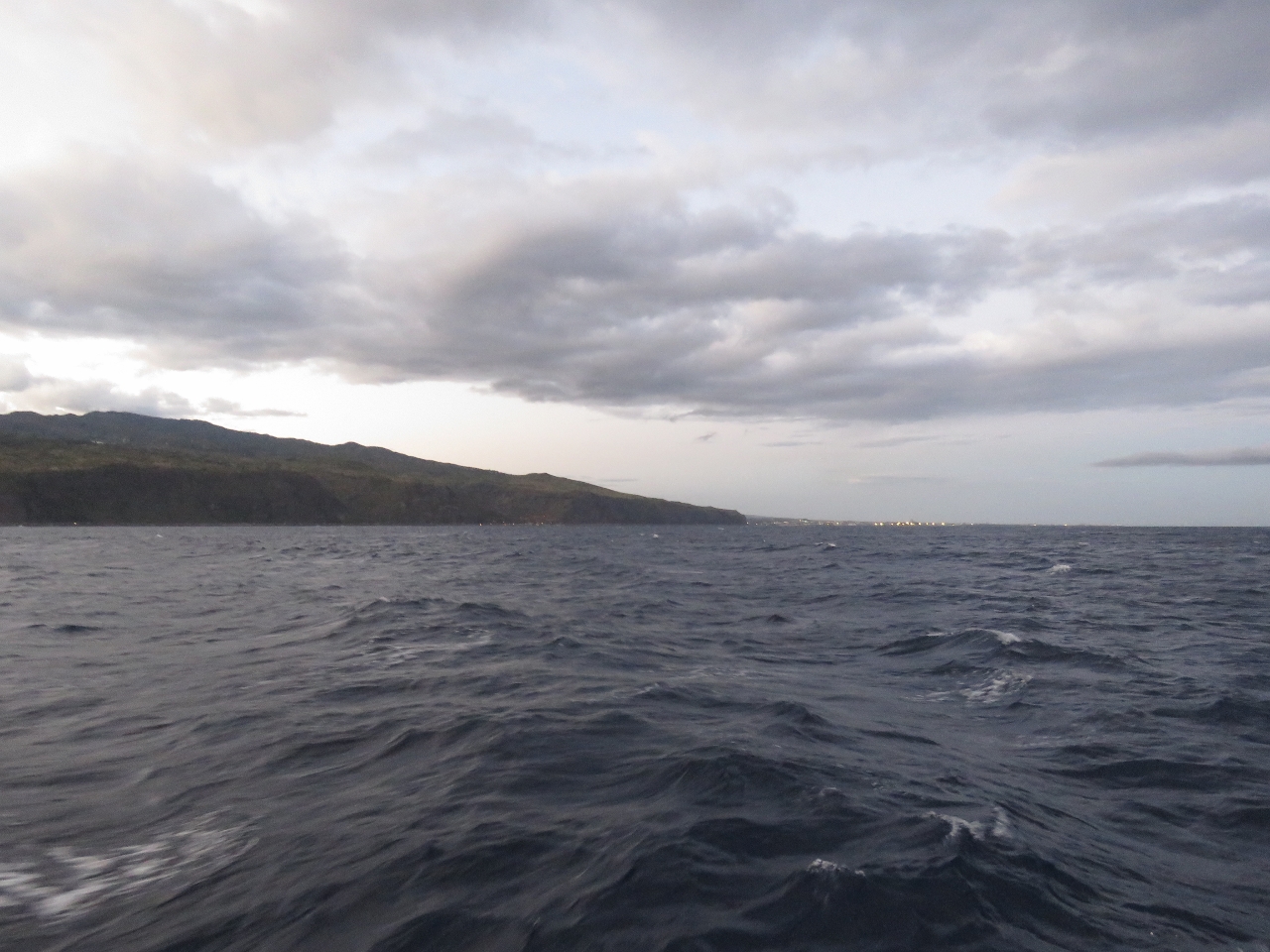
Lights
Position: 56 3.33, -20 46.67
It’s just past midnight and 25 miles out we can just start to see city lights on Reunion and the navigation light on Pointe de Bel-Air.
|
 |
Le Port
Position: 55 23.29, -20 51.45
The city lights of Le Port, our destination, are just visible in the distance shortly past dawn. We’re about an hour out at this point.
|
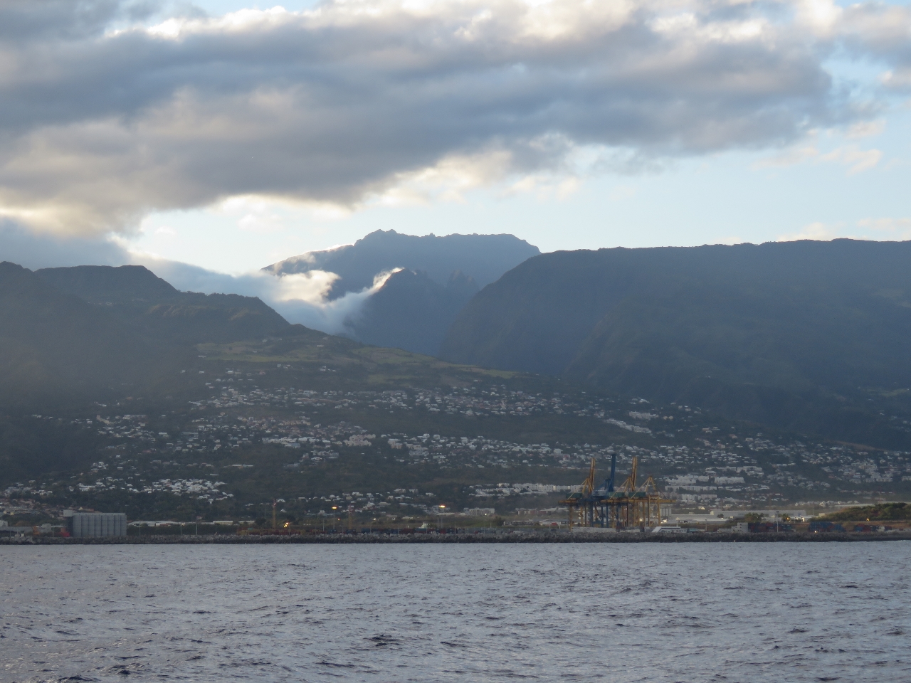 |
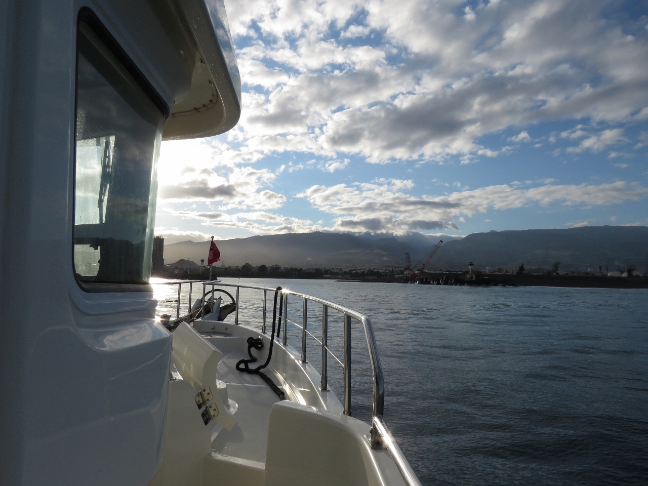
Est Port
Position: 55 17.88, -20 54.61
Looking southeast through the commercial harbour, Est Port, into Reunion’s dramatic mountainous interior.
|
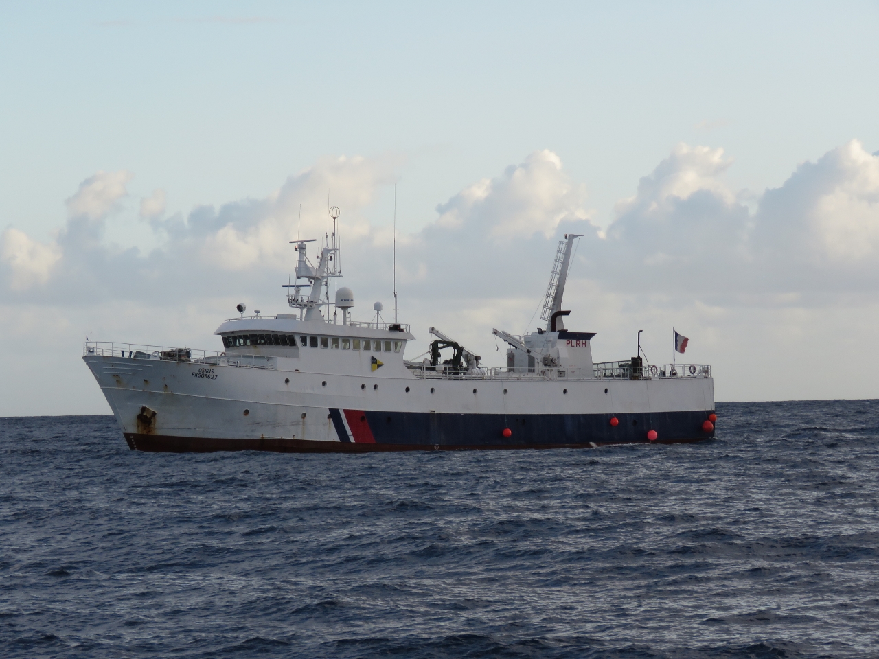 |
Osiris
Position: 55 17.78, -20 54.67
The French fisheries patrol vessel Osiris approached when we were still several miles out and closely monitored our progess until we entered the port. Perhaps we do look a bit like a commercial troller.
|
 |
Port Ouest
Position: 55 16.79, -20 56.15
Approaching Port Ouest. We’d contacted Port Control on channel 12 as we passed Est Port, who gave us permission to enter Port Ouest and directed us to moor on the sea wall inside the south basin to clear through.
|
 |
Basin Pere Gueze
Position: 55 17.10, -20 56.30
Entering Basin Pere Gueze. Ahead of us is the 191ft expedition yacht Pangaea, with an incredible assortment of toys on board.
|
 |
Seawall
Position: 55 16.99, -20 56.37
En route to Reunion, we’d been in contact via email with the two Port Captains, Jerome Belhuerne and Pierre Dalele, and given them our ETA. They given us a Declaration de D’Entree to fill out in advance and notified Customs of our arrival. We landed shortly after 7am, Customs arrived around 9am, and we were cleared through before 9:30.
|
 |
Entering Port de Plaisance
Position: 55 16.98, -20 56.51
Port Captain Pierre Dalele stopped by while we were clearing through and said we’d be berthed in the new marina closer to town. The office is in the old marina, which is a bit of a walk from either the seawall or the new marina. So Pierre suggested we bring Dirona into Port de Plaisance and moor briefly in front the office to pickup keys etc. before heading over to our berth in the new marina.
|
 |
Port de Plaisance
Position: 55 16.99, -20 56.54
Moored off the marina office in Port de Plaisance.
|
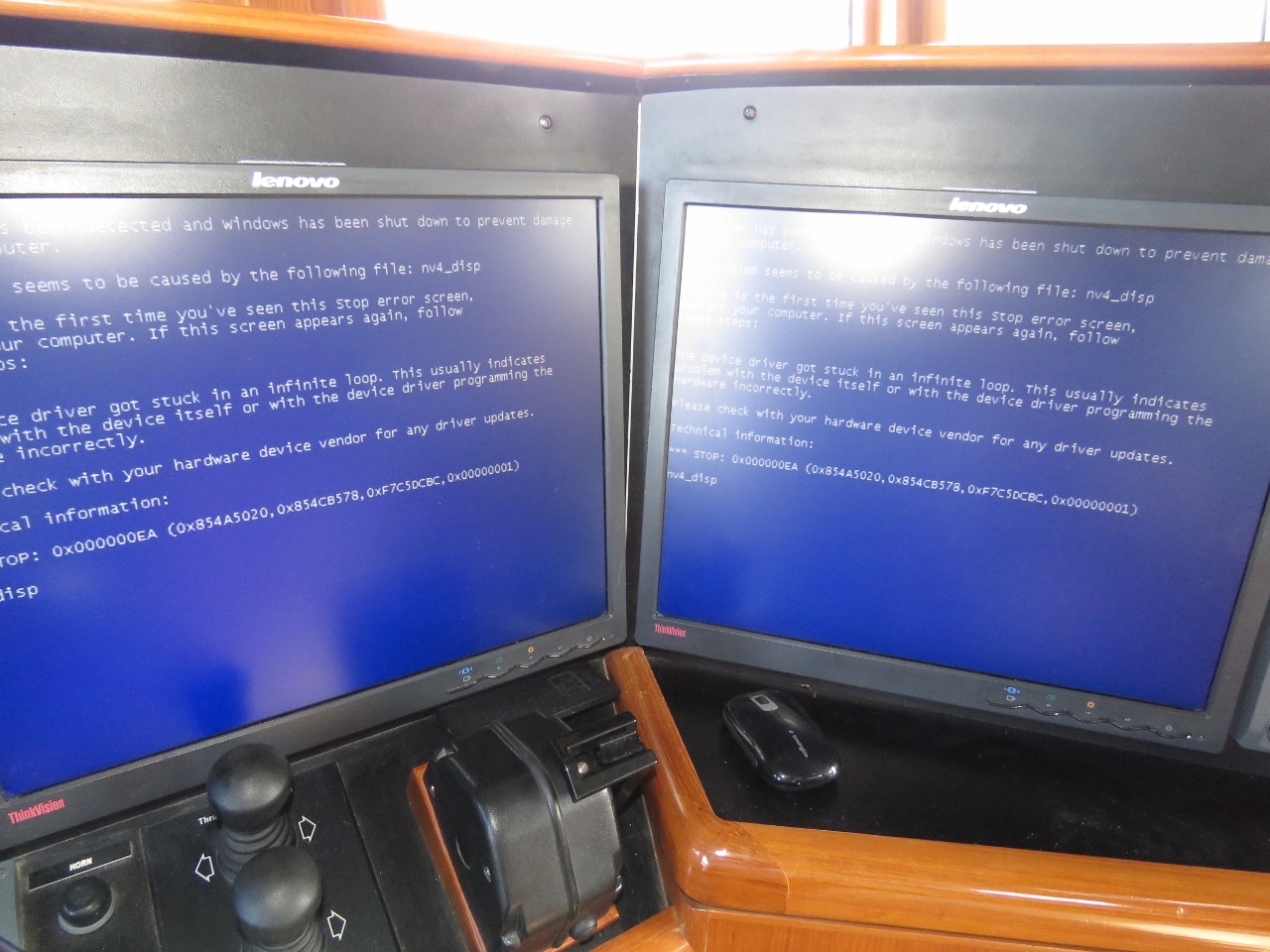 |
Blue screen
Position: 55 16.99, -20 56.54
Our NavNet 3D system had been having flickering screen issues on the last day into Reunion. It runs on an embedded Windows XP operating system and this morning we got a blue screen indicating the video driver had gone into an infinite loop. Looks like we’ve got an issue there to deal with.
|
 |
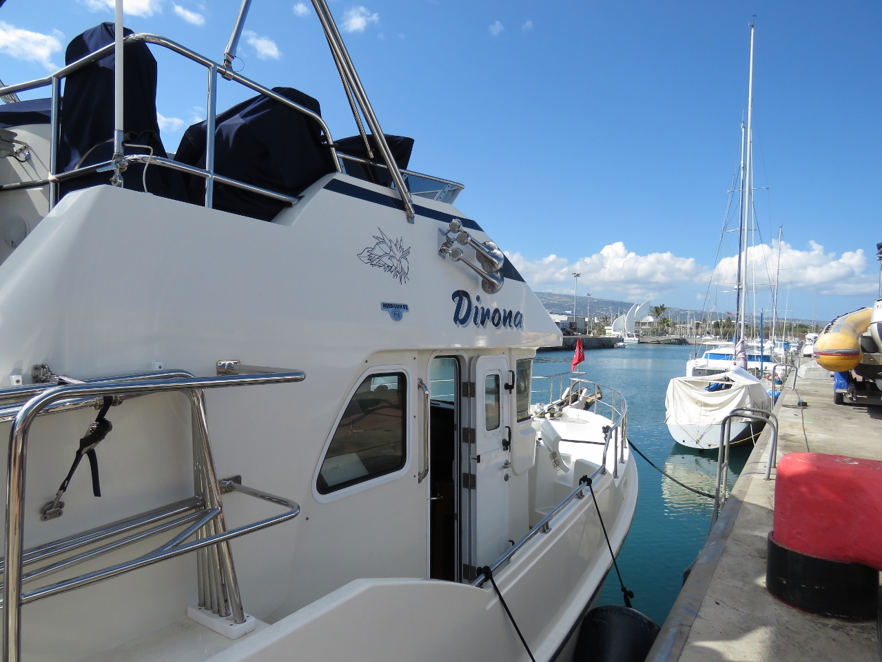
Plugged in
Position: 55 17.26, -20 56.37
Plugged into the power at our berth in the new marina Grand Port Maritime. We’re again using the same power adapter that we built in Papeete and used in Fiji and New Zealand.
|
 |
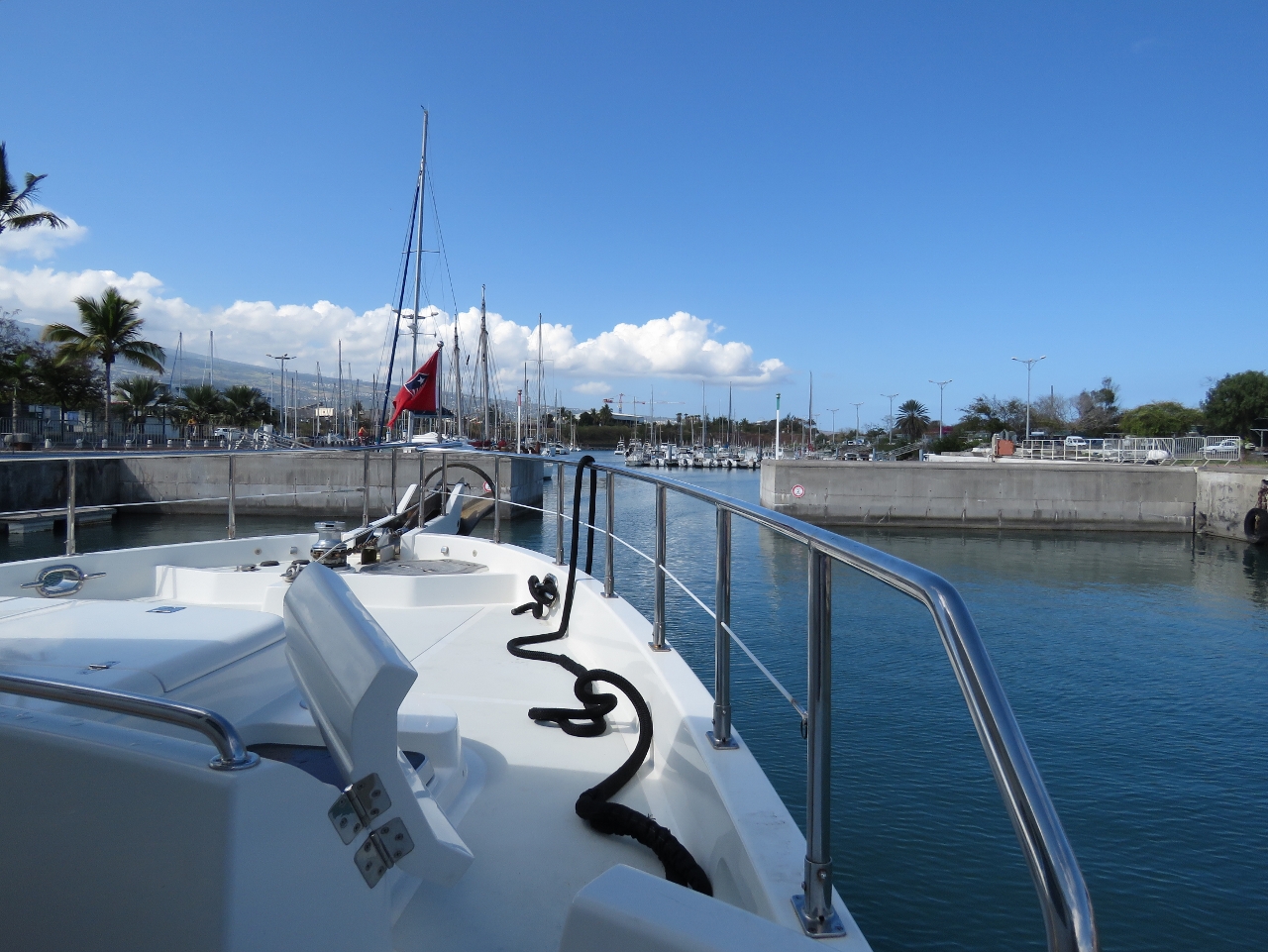
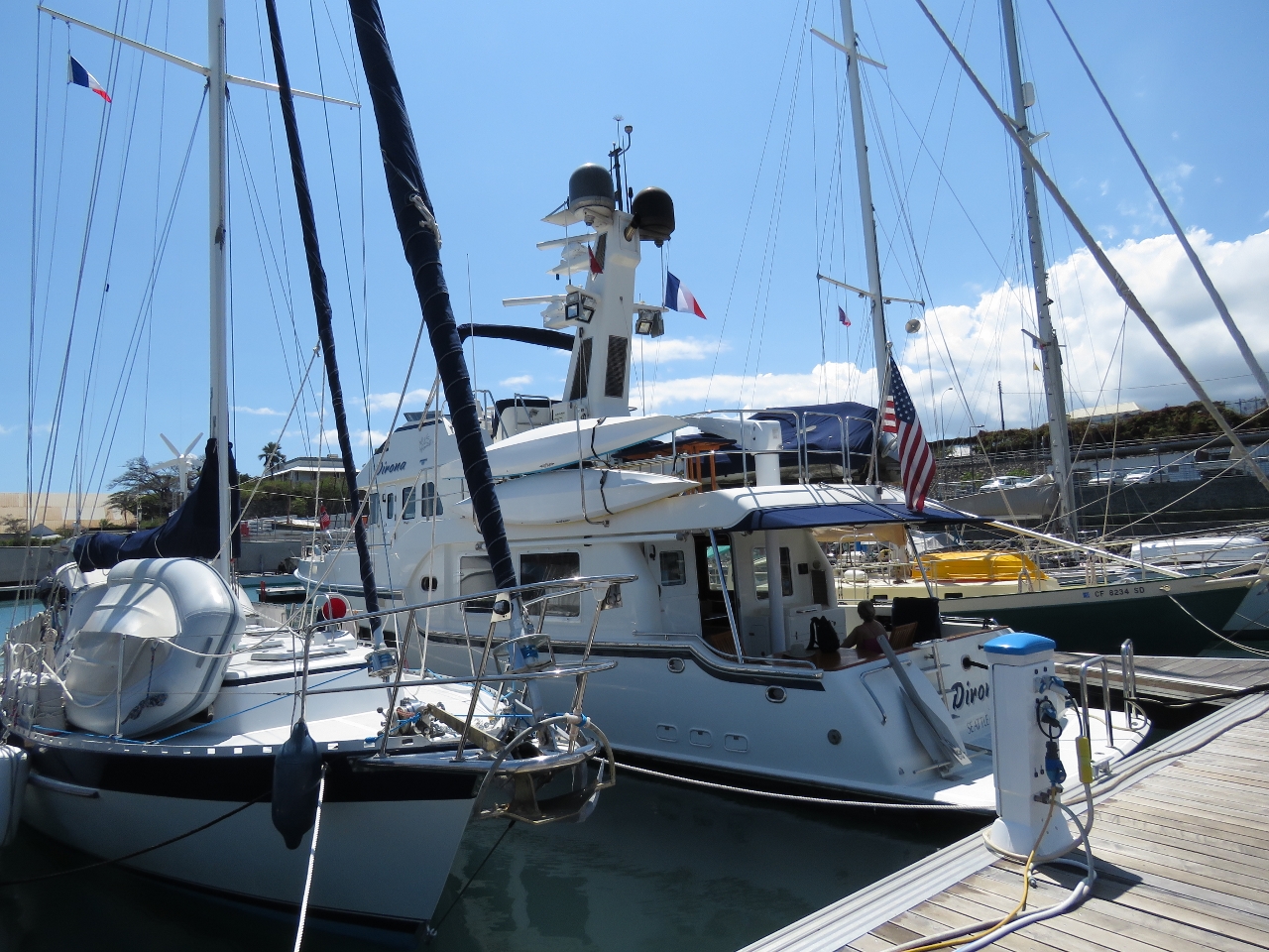
Grand Port Maritime
Position: 55 17.27, -20 56.44
The new marina, Grand Port Maritime, opened only recently and still has plenty of space.
|
|
|
American boats
Position: 55 17.29, -20 56.36
Given we’re so far from home, we’re surprised to find ourselves moored between two other American boats, Traveler of California and Apogee of Alaska.
|
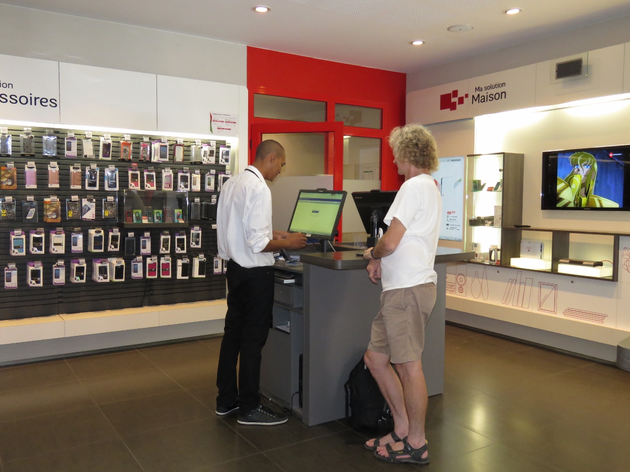 |
SFR
Position: 55 17.41, -20 56.26
We picked up a SIM card from SFR. The best option available was 5 days for 4 Euros. This included 100meg at 3G, then connectivity dropped to 2G after that. We quickly burned through the initial allocation, but the slower speed supported after seems perfectly workable.
|
 |
La Petite Brasserie
Position: 55 17.41, -20 56.20
We had an excellent lunch streetside at La Petite Brasserie. We’d arrived on a Friday and by noon many of the stores were closing. We were lucky to get our SIM card, as they closed up at 12:30 just as we were leaving. Many re-opened again around 2pm. Lunch appears to be an important meal here.
|
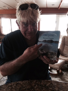 |
Secret Coast
Position: 55 17.26, -20 56.37
We had James Ellingford’s advice in exploring Australia and James is going to use some of ours in exploring our home cruising ground of British Columbia. Here’s James aboard Pendana in Hawaii with our British Columbia cruising guide, Cruising the Secret Coast.
|
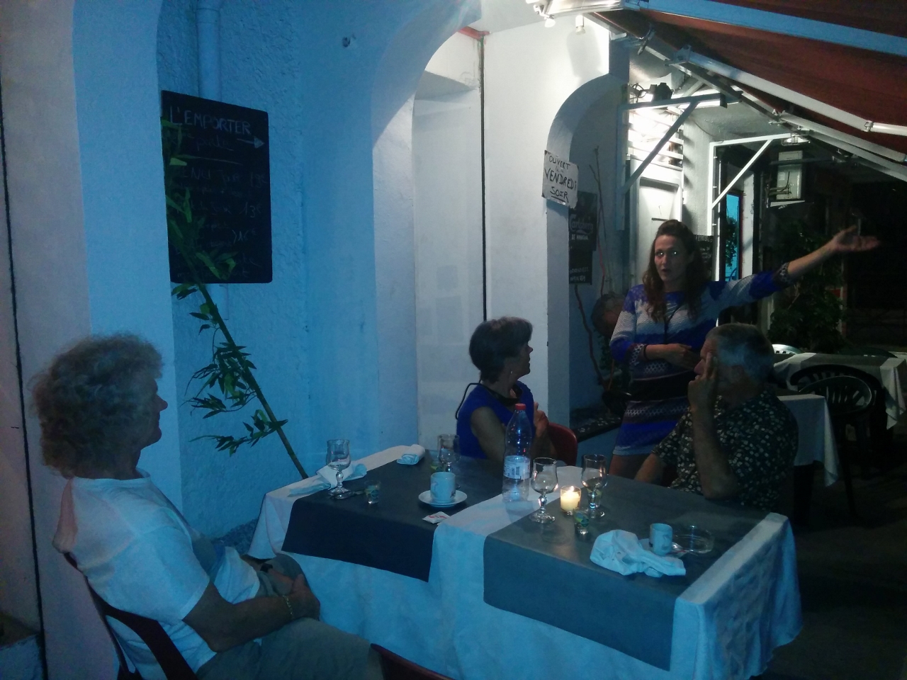 |
Le Hangar
Position: 55 17.37, -20 56.18
We had a delicious meal at Le Hangar with Lori and Rob from neighbouring boat Apogee of Alaska. Standing is our animated and friendly host, who runs the restaurant with her chef husband.
|

|
Click the travel log icon on the left to see these locations on a map, with the complete log of our cruise.
On the map page, clicking on a camera or text icon will display a picture and/or log entry for that location, and clicking on the smaller icons along the route will display latitude, longitude and other navigation data for that location. And a live map of our current route and most recent log entries always is available at http://mvdirona.com/maps. |
If your comment doesn't show up right away, send us email and we'll dredge it out of the spam filter.