From Cape York we ran 750 miles over 4 days direct to Darwin in the Northern Territory. The first day or so through the Gulf of Carpentaria was surprisingly rough with strong tidal currents opposing the southeasterly trade winds. The winds were a little bit stronger then normal running in the 20-30kt range. Conditions eventually settled down and we had a particularly smooth run through Van Diemen Gulf and into Darwin. We stopped in Darwin for less than 24 hours to fuel, stock up on fresh produce and have a nice restaurant meal, with plans to set off the following morning to begin the final stage of our Australia tour: the Kimberly region in Western Australia.
Trip highlights from May 25th through May 29th follow. Click any image for a larger view, or click the position to view the location on a map. And a live map of our current route and most recent log entries always is available at http://mvdirona.com/maps
 |
Endeavour Strait
Position: 142 23.01, -10 43.14
Tidal streams in Torres Strait can exceed seven knots on large exchanges. It is one of only three tidal current stations in all of Australia (the others are The Rip at Melbourne and Oom Shoal at Mackay). According to the Australian Bureau of Meteorology, “From the tidal point of view, Torres Strait is probably the most complex area in the world. Its narrow and shallow channels connect two oceans with different mean sea levels caused by the general oceanic circulation patterns. This difference introduces a westward equalising current. In addition, tidal regimes on both sides of the Strait are completely different, with diurnal tides to the west and semi diurnal to the east. The contrast in regimes is caused by the difference of semi diurnal components of tide at either entrance, the diurnal part being generally uniform in the area. At some phases of the moon it can be high water at one entrance when it is low water at the other. In consequence, marked differences between the levels at the entrances occur resulting in strong tidal streams. While the tides may have a large diurnal component (especially at the western entrance), the tidal streams are predominantly semi diurnal.”
Endeavour Strait has the same characteristics as Torres Strait, but is about 30% of the flow strength. According to the tidal stream tables, we’ll be transiting against a minor ebb flow of less than a knot. But according to our speed, the current is with us, as we are making 9.5 knots at 1750 RPM where normally we’d be doing about 7.5 knots. |
 |
Teeth brushing
Position: 142 15.81, -10 48.40
Spitfire has seen a lot of vets in the past couple of years as we transit through different countries, and each one has recommended that his teeth be cleaned as his gums were quite red and inflamed. We’re somewhat reluctant to do this, as the full anesthesia required for this procedure is riskier the older the animal is. We did eventually have his teeth cleaned in Brisbane, and decided to start brushing them ourselves afterwards. We’ve been using a Petosan electric toothbrush that does an excellent job and is much faster than a standard pet toothbrush. Spitfire isn’t thrilled about the process, but he tolerates it. And his teeth sure are clean and white, with healthy-looking gums.
|
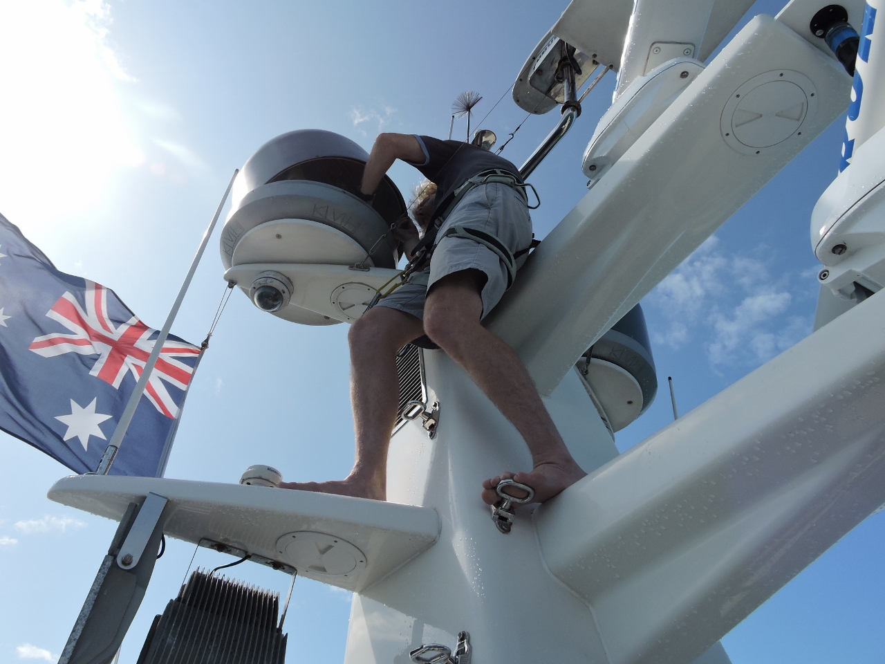 |
LNB skew
Position: 142 2.42, -10 49.66
We’ve only had to adjust the LNB skew once since getting our satellite TV system running in Australia. The last time was in Sydney. We’ve not been watching much recently and discovered that we’ve moved way out of range and couldn’t record the Grand Prix of Monaco. Conditions were reasonably calm in Endeavour Strait, so James climbed up the mast to make the adjustment and we got reception again.
|
 |
On to Darwin
Position: 141 58.02, -10 49.76
We’re on a 750-mile, 4-day passage to Darwin to begin the final stage of our Australia tour: the Kimberly region in Western Australia.
|
 |
Conditions
Position: 140 23.61, -10 51.11
Winds are blowing a steady 25 knots from the southeast and the seas are about ten feet and tightly spaced due to a fairly strong opposing current. The seas were behind us, which helped, but the boat was moving more than we would expect for these conditions.
|
 |
Reciprocal course
Position: 140 5.26, -10 51.30
The winds now are blowing a steady 30 knots from the southeast. We’ve only seen one other boat so far, and it was on a reciprocal course around 2am. We adjusted course to pass about two miles to the north. The ship looked to be a trawler about 100 feet or so in length running about 3-4 knots and pitching wildly in these big seas. It looks like running east yields an even rougher ride.
|
 |
Max roll
Position: 138 25.56, -10 53.22
We’ve added a new piece of telemetry to our Maretron screen: max roll and max pitch over the last hour. In the picture, this data is graphed over a 12-hour period and you can see how the conditions quickly ramped up to a maximum roll of 29 degrees and has since fallen of to a more comfortable maximum ten or less. The pitching motion throughout has been minimal.
|
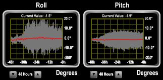 |
Roll
Position: 137 16.40, -10 53.90
Conditions have settled down considerably in the last 12 hours compared to the previous 12. We’re now rolling closer to 10 degrees on average, compared to well over 20 earlier. Wave heights are still around ten feet, but the period is a little longer. We shot some video https://youtu.be/gzElyc7hDTk (3:01) in these relatively moderate conditions showing how the boat handles it from the bow, from the stern and then from up top.
|
 |
Plane
Position: 133 5.52, -10 51.86
We’ve picked up planes on radar before, but this is the first time we’ve seen an airplane-specific AIS target displayed.
|
 |
New Year Island
Position: 133 2.39, -10 51.84
Our charts label this New Year Island, but Google maps labels it Caruca Island. Either way, this is the first land we’ve since since leaving Endeavour Strait three days ago. We’re only a day out from Darwin now.
|
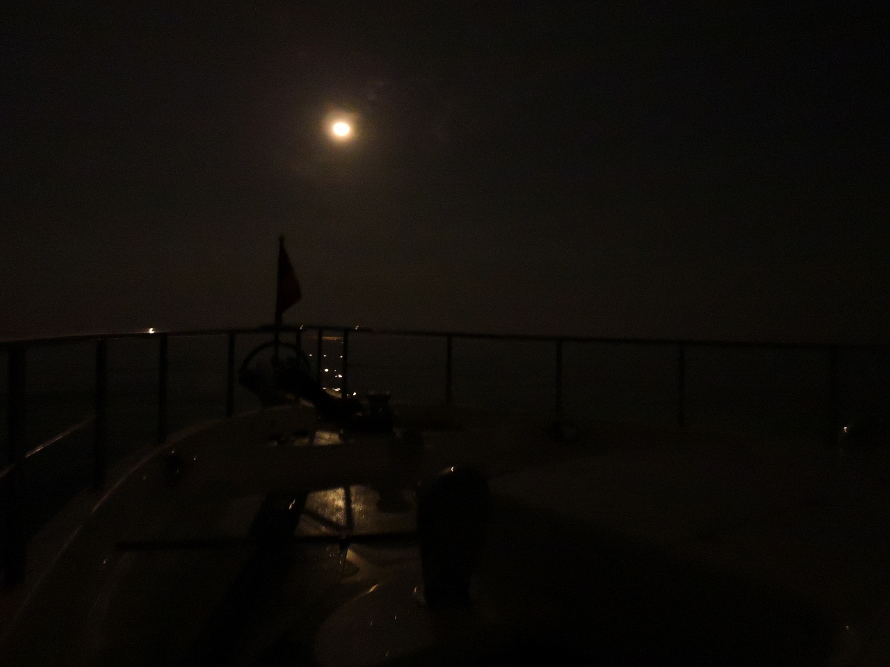 |
Moonlight
Position: 131 29.49, -11 41.30
Calm seas under a bright moon as we transit Van Diemen Gulf
|
 |
Midnight laundry
Position: 131 15.83, -11 50.53
Doing laundry on our overnight passage through Van Diemen Gulf before we top off our water tanks in Darwin. Delicates that don’t go in the dryer will be hung in the engine room to dry on the next shift change. We’re sure loving our new power system. Being able to run our 240-volt systems underway, especially the air-conditioner, without needing the generator is a real luxury.
|
 |
Traffic
Position: 130 56.98, -12 3.93
We saw a eight radar targets that likely were fishing vessels as we rounded Cape Don into Van Diemen Gulf, but hadn’t seen much in the overnight passage through the gulf. As we approached Darwin, several landing craft passed carrying containers, probably delivering to nearby islands.
|
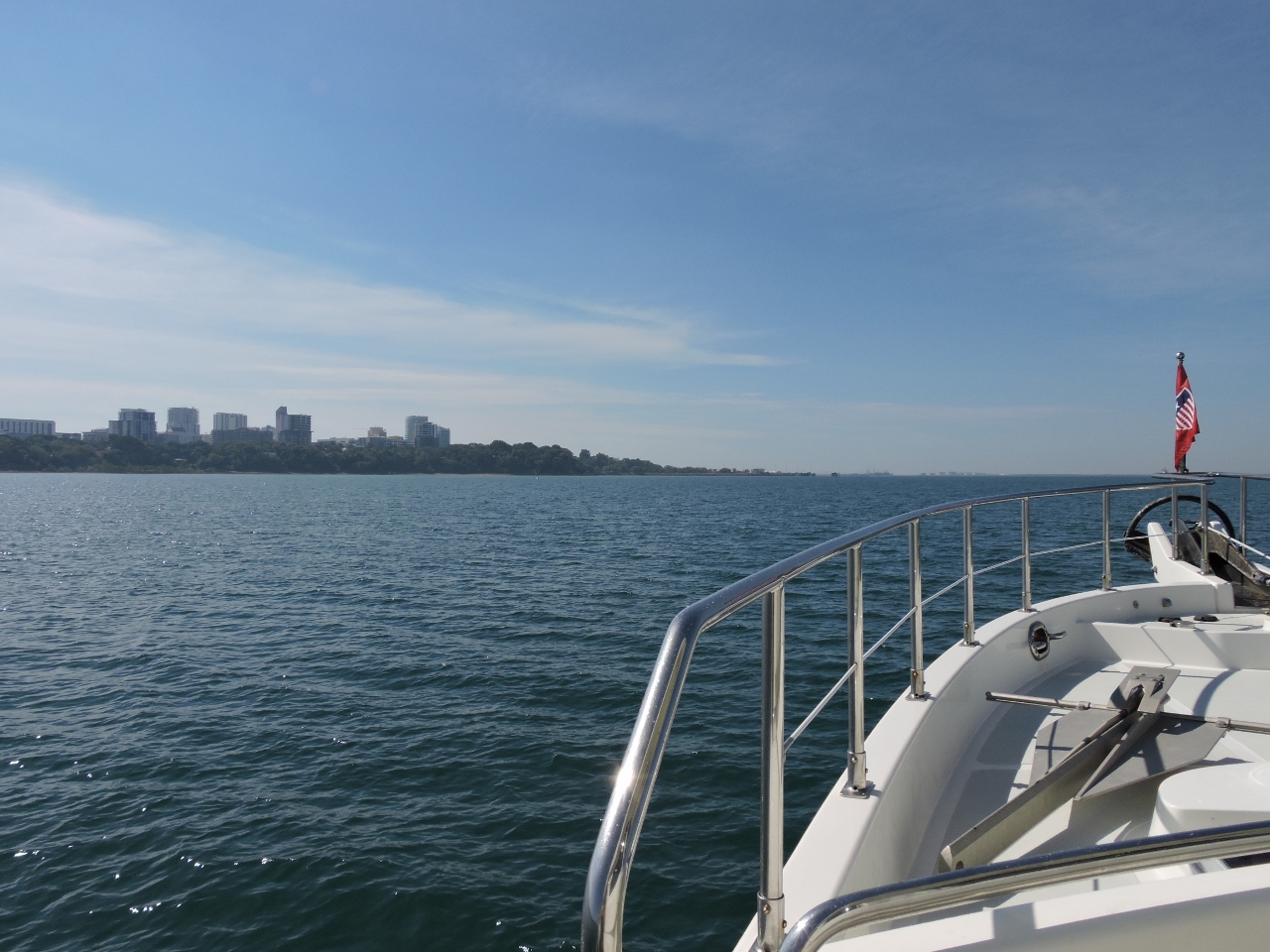 |
Darwin CBD
Position: 130 49.87, -12 28.08
The view to Darwin CBD (Central Business District) as we enter the harbour.
|
 |
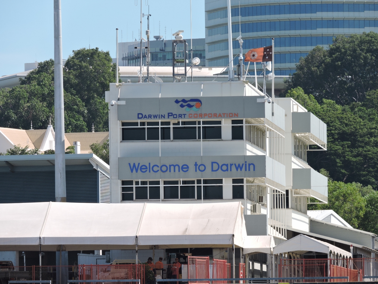
Welcome!
Position: 130 51.09, -12 28.21
Welcome to Darwin! We’re very excited to be here after planned for so long.
|
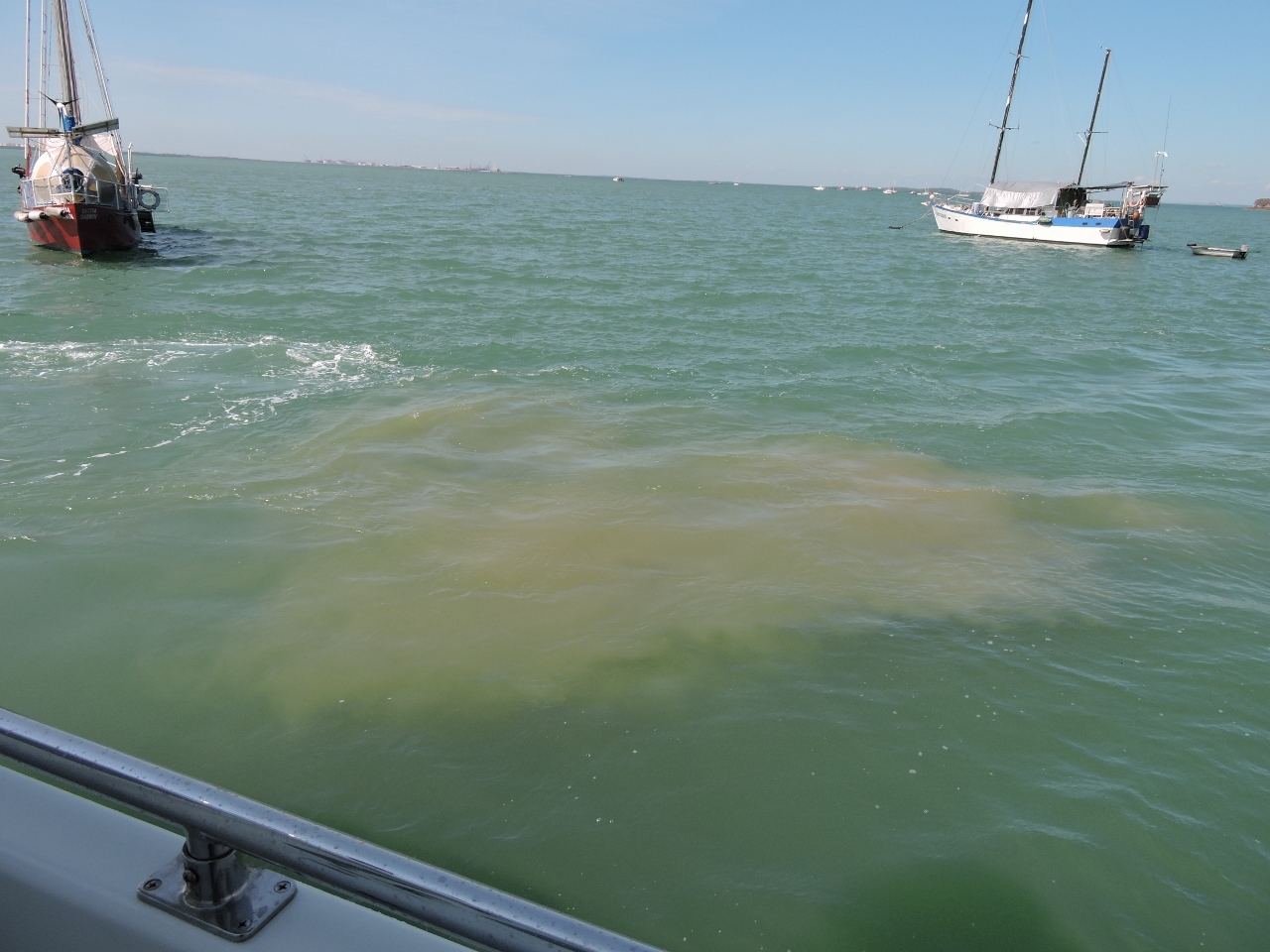 |
Shallows
Position: 130 51.11, -12 27.39
The tidal ranges in Darwin are extreme, with a maximum range of 25.6 ft (7.8 m). The channel here has only one foot of water at zero tide, and just outside dries to three feet at zero water where we plan to anchor temporarily. The tide is about 13 ft now, so we’ve got about 10 ft under us and stirred up the mud just turning around.
|
 |
Temporary anchorage
Position: 130 51.15, -12 27.51
We’re about 90 minutes early for our 2pm fuel booking, so we anchored nearby temporarily to wait. To fuel in Darwin, you need to book a berth at Fishermans Wharf with Harbour Control, and also make an appointment with Bailey’s Marine fuels to pump the fuel, both about 2-3 days in advance. Our assigned fuel berth is near shore on the pictured wharf.
|
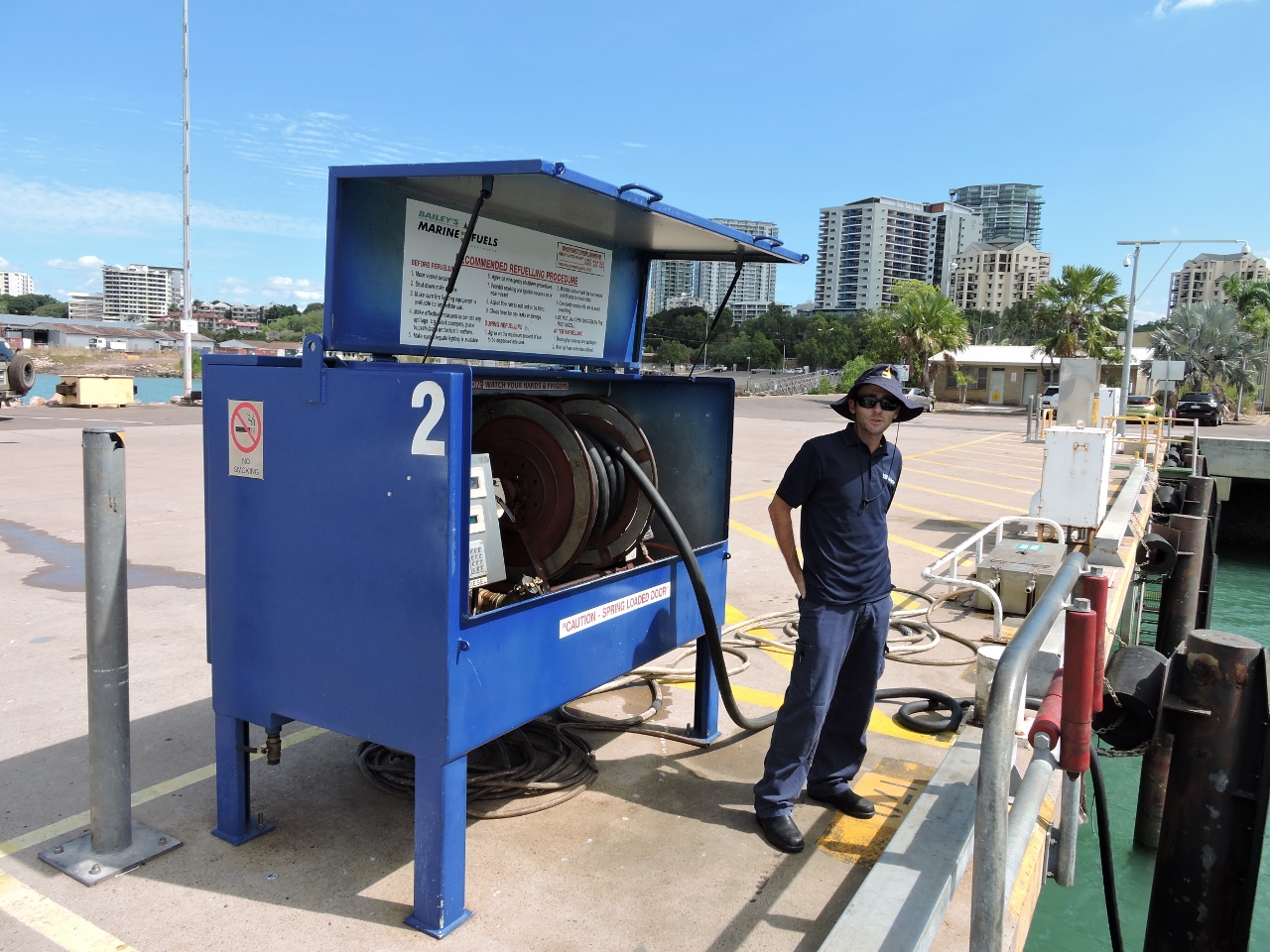 |
Ben Dyson
Position: 130 50.96, -12 27.55
Ben Dyson of Bailey’s Marine Fuels is the man to call for diesel in Darwin.
|
 |
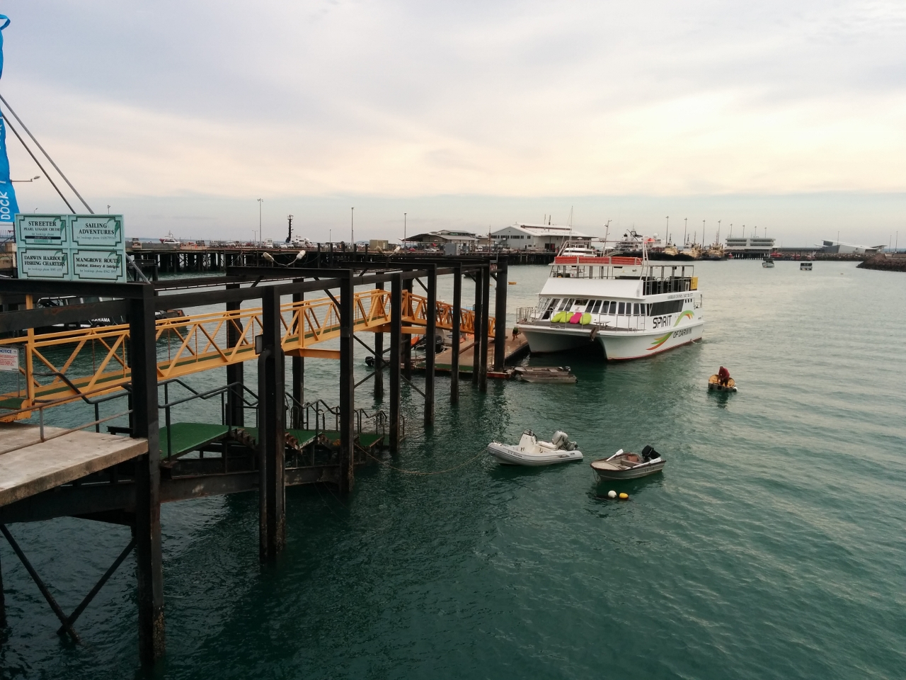
Fishermans Wharf
Position: 130 50.96, -12 27.55
At Fishermans Wharf, we took on 920 gallons (4,180 L) of diesel, filled the freshwater tank, and got rid of our garbage. We’re almost good to go for the Kimberley trip.
|
 |
Woolies
Position: 130 50.43, -12 27.65
Woolworths is about a 15-minute walk from the fuel dock. Jennifer made a quick trip there to stock up on fresh produce for our 5-week Kimberley trip.
|
 |
Stokes Hill Wharf
Position: 130 51.04, -12 28.07
We’d read that a dinghy dock was at Stokes Hill Wharf, but the only dock there was for loading and unloading only. No matter–we just tied to the steps using the Anchor Buddy to keep us off.
|
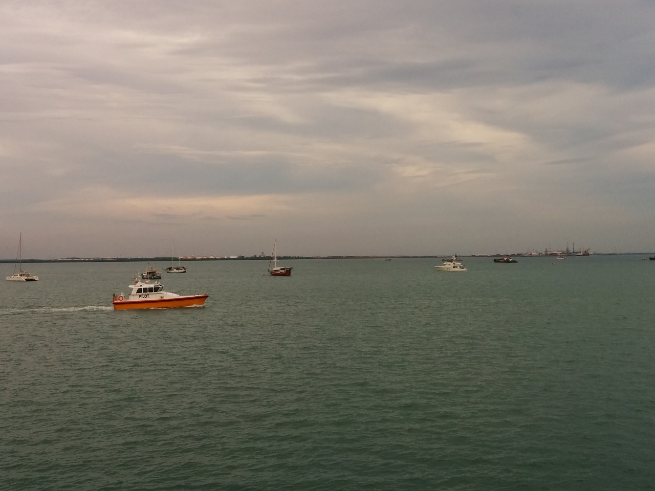 |
Frances Bay
Position: 130 51.05, -12 28.10
The view east from Stokes Hill Wharf to our anchorage at Frances Bay as a pilot boat passes in the foreground. Dirona is at the right side of the picture.
|
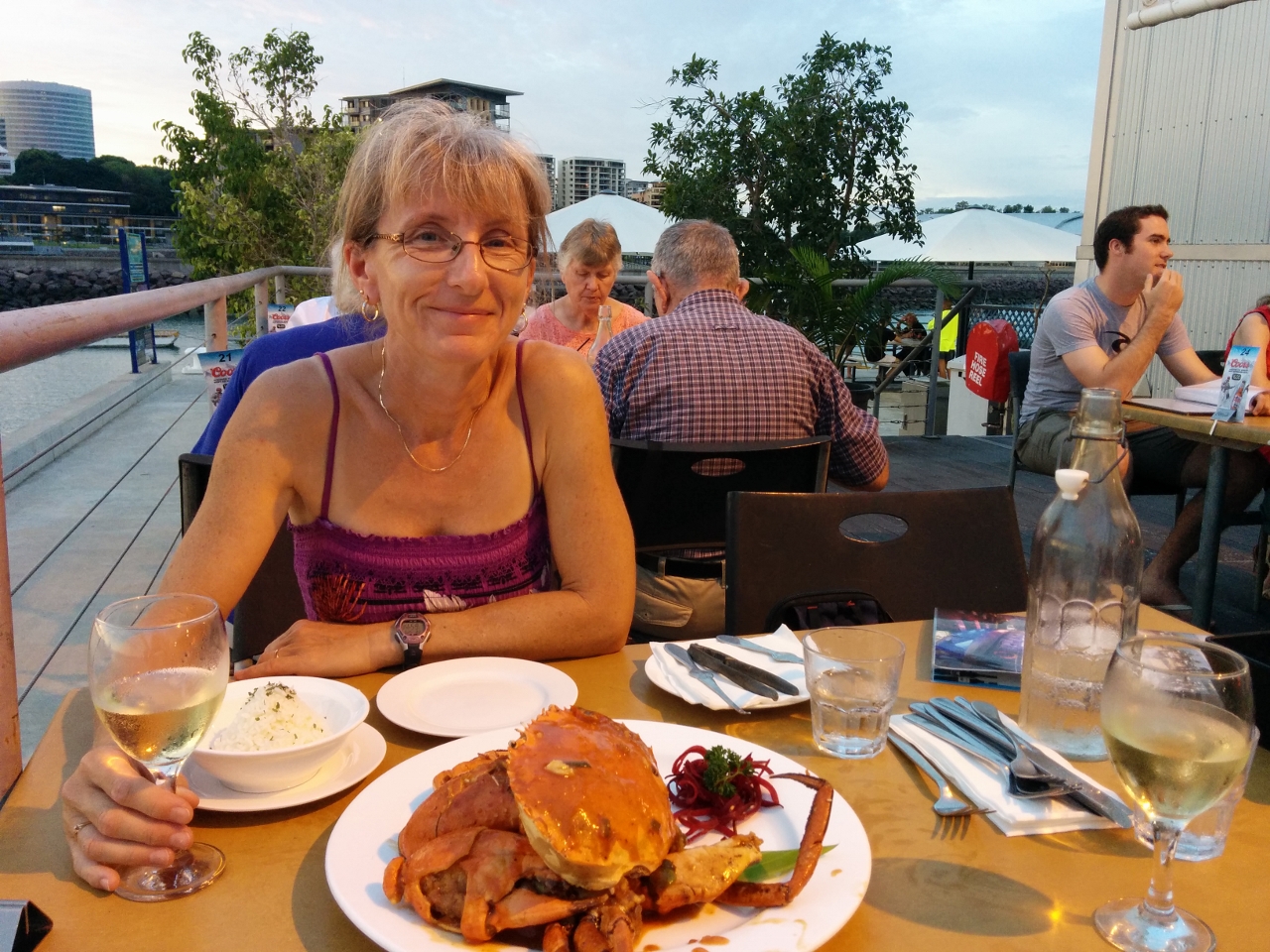 |
Crustaceans
Position: 130 50.88, -12 28.25
The fridge, water tank and fuel tanks are full, and the garbage bin is empty–time to relax. Rick MacClure and Dianne Boston, previous owners of Nordhavn 6056 Last Samurai, highly recommended the chili mud crab at Crustaceans restaurant on Stokes Hill Wharf. They were right. We had a delicious meal overlooking the harbour followed by a spectacular sunset.
|

|
Click the travel log icon on the left to see these locations on a map, with the complete log of our cruise.
On the map page, clicking on a camera or text icon will display a picture and/or log entry for that location, and clicking on the smaller icons along the route will display latitude, longitude and other navigation data for that location. And a live map of our current route and most recent log entries always is available at http://mvdirona.com/maps. |
If your comment doesn't show up right away, send us email and we'll dredge it out of the spam filter.