The winter boating season is upon us with the first big storm of the year: http://www.kitsapsun.com/news/2007/oct/27/no-headline—ferry/.
We’ve been boating year-round between Olympia and Port Hardy for years now. One publication that we have found particularly useful in navigating through winter (and summer) storms is Environment Canada’s The Wind Came All Ways. The book contains detailed wind pattern and wave height diagrams for specific localities of the Georgia Basin, including the Strait of Juan de Fuca, the San Juan Islands and Desolation Sound. The wave height diagrams are amazingly accurate. Whenever we’ve ended up in rougher water than expected and checked the book after the fact, the conditions were always as predicted. We are wiser now, and consult the wave height diagrams to plot a safer course before we get underway, or during the trip if conditions deteriorate.
The book uses “pressure-slopes” as a means of predicting wind patterns and wave heights. A pressure-slope specifies the rate of change, or slope, between a low and high pressure area and the direction that the wind will flow between them. A steeper slope means stronger winds. Pressure-slope steepness is indicated on a numerical scale starting at 0 for a flat slope. There is no upper limit, but the steepest slope recorded in recent years is 10. This would occur only in the severest storms. A typical major winter storm has a pressure slope of 4 or 5. Pressure-slope data for the past 13 hours is available at http://www.weatheroffice.pyr.ec.gc.ca/marine/pressureslope_e.html.
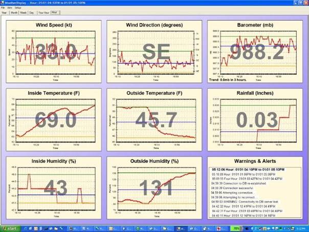
We monitor the pressure-slope during winter trips and find it a good predictor of sea conditions. Below is 24 hours of pressure-slope data from 0500 PDT on 01/01/2006 through 0600 PDT on 01/02/2006. (Read from right to left, top to bottom. We added the PDT row for readability.) This was a particularly nasty storm that we anchored through at Pender Harbour a couple of years back (read about it here.) We recorded gusts to 52 knots between 4:15 and 5:15pm that afternoon (see weather map at bottom) when the pressure slope was rising from 5.5 to 5.8. The pressure slope eventually topped out at 7.1 at 8pm, then abruptly dropped.
| Time(UTC) |
00 |
23 |
22 |
21 |
20 |
19 |
18 |
17 |
16 |
15 |
14 |
13 |
12 |
| Time(PDT) |
17 |
16 |
15 |
14 |
13 |
12 |
11 |
10 |
09 |
08 |
07 |
06 |
05 |
| Direction |
096 |
088 |
079 |
076 |
067 |
065 |
065 |
066 |
070 |
069 |
074 |
084 |
087 |
| Intensity |
5.8 |
5.5 |
4.9 |
5.1 |
5.3 |
5.3 |
5.4 |
5.4 |
4.7 |
4.1 |
3.9 |
3.4 |
2.8 |
Updated: 2006/01/02 00:25 UTC Easterly Pressure Slope
| Time(UTC) |
13 |
12 |
11 |
10 |
09 |
08 |
07 |
06 |
05 |
04 |
03 |
02 |
01 |
| Time(PDT) |
06 |
05 |
04 |
03 |
02 |
01 |
00 |
23 |
22 |
21 |
20 |
19 |
18 |
| Direction |
162 |
159 |
157 |
144 |
137 |
140 |
131 |
131 |
126 |
123 |
119 |
114 |
105 |
| Intensity |
0.8 |
1.2 |
1.4 |
1.6 |
1.8 |
2.1 |
2.5 |
3.1 |
3.8 |
5.3 |
7.1 |
6.0 |
5.8 |
Updated: 2006/01/02 13:25 UTC Southeasterly
If your comment doesn't show up right away, send us email and we'll dredge it out of the spam filter.