Shelter Bay was featured in the Nordhavn 2012 calender with Rick MacClure‘s photo of Nordhavn 55 Skie. When we first saw that picture, we couldn’t imagine being in such a wild-looking place. Continuing east from Murrara Island, we found ourselves right in that photo, in beautiful and protected Shelter Bay. We explored the area by dinghy and over the next few days also visited Swifts Bay and Freshwater Bay.
Trip highlights from June 26th through July 2nd follow. Click any image for a larger view, or click the position to view the location on a map. And a live map of our current route and most recent log entries always is available at http://mvdirona.com/maps
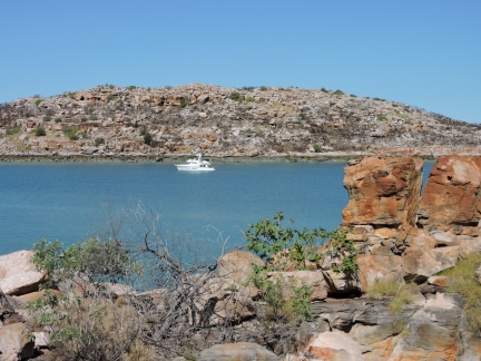 |
Shelter Bay
Position: 125 15.05, -14 25.25
At anchor in protected and beautiful Shelter Bay. When we first saw Rick MacClure‘s photo of Nordhavn 55 Skie at Shelter Bay in the Nordhavn 2012 calender, we couldn’t imagine being in such a wild-looking place. And here we are.
|
 |
Lunch
Position: 125 15.02, -14 25.25
Lunch overlooking the anchorage at Shelter Bay.
|
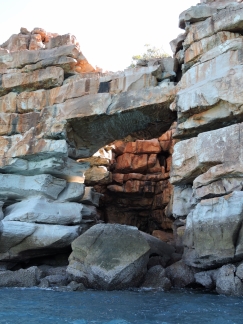 |
Arch
Position: 125 14.38, -14 26.31
This massive sea arch is along the southeast corner of Gaimard Island.
|
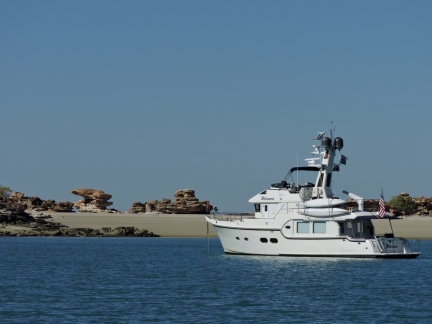 |
Swifts Bay
Position: 125 33.19, -14 31.95
In light winds, we anchored in the circular basin in the southeast corner of Swifts Bay. To our east complex rock formations stood above a steep beach.
|
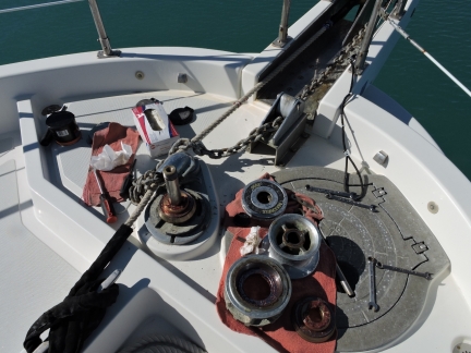 |
Winch Maintenance
Position: 125 33.26, -14 31.93
Time for the annual cleaning and greasing of the winch top end.
|
 |
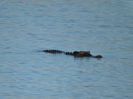
Croc or rock?
Position: 125 33.26, -14 31.93
As the tide fell, we noticed a rock show up that wasn’t on the chart. And then the rock moved. Not a rock, a croc.
|
 |
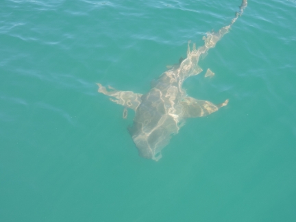
Croc
Position: 125 33.26, -14 31.93
This large crocodile we’d initially thought was a rock spent an hour or so circling the boat. We felt uncomfortably like prey.
|
 |
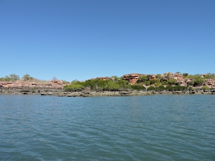
Shark
Position: 125 33.26, -14 31.93
Besides the croc, a Tawny Nurse shark arrived looking for a meal.
|
 |
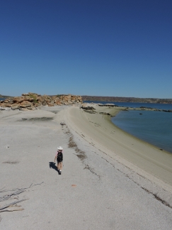
Swifts Bay
Position: 125 35.25, -14 33.58
Extensive rock paintings are in the southern reaches of Swifts Bay, but the tide was too low and falling for us to reach them. But we had a good tour of the bay.
|
 |
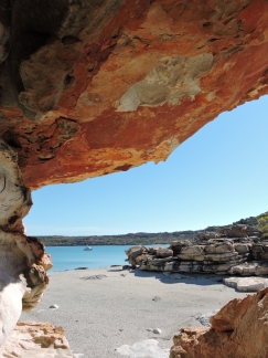
Beach
Position: 125 33.47, -14 31.90
Walking ashore in the steep beach near the anchorage. From a distance we’d thought it was a sand beach, but it turned out to be millions and millions of small shells.
|
 |
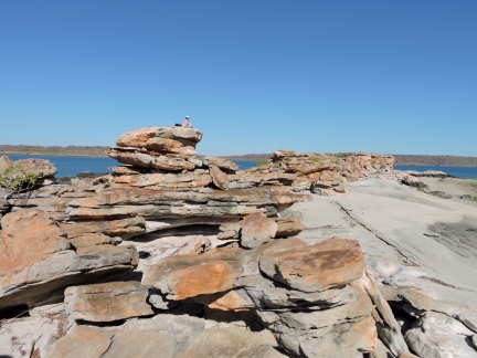
Frame
Position: 125 33.48, -14 31.90
Looking out to the anchorage through the complex rock formations ashore.
|
 |
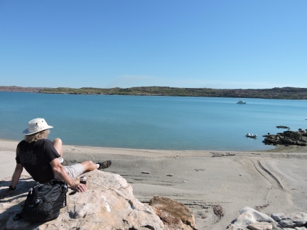
Perch
Position: 125 33.48, -14 31.91
Jennifer perched above the beach on one of the larger rock formations.
|
 |
Beer
Position: 125 33.48, -14 31.91
Relaxing with a beer overlooking the anchorage.
|
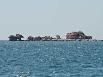 |
Mushroom Rocks
Position: 125 44.92, -14 8.63
Looking east to Mushroom Rocks west of Larontaine Island en route to Parry Harbour.
|
|
Parry Harbour
Position: 126 5.02, -13 59.06
We anchored for the night at the mouth of the small eastern arm of Parry Harbour. We couldn’t get as far in as we’d hoped due to shallows, but the southeast wind protection here still was reasonable.
|
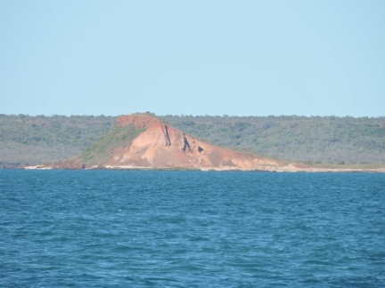 |
Red Island
Position: 126 7.81, -13 51.91
Red Island to our south as we round Cape Bougainville.
|
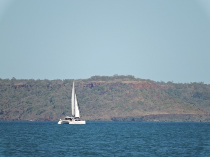 |
Catamaran
Position: 126 10.99, -13 54.23
Our fifth, and what would be our last, pleasure boat sighting since leaving Darwin nearly five weeks previously.
|
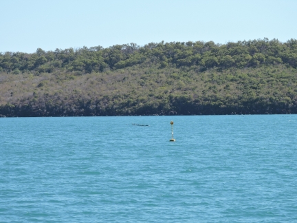 |
Aquaculture
Position: 126 12.39, -13 59.83
The charts for many parts of the Kimberley are covered with aquaculture symbols, but we’ve hardly seen any. Freshwater Bay was a notable exception. Much of the bay is full of aquaculture, marked with these radar beacons.
|
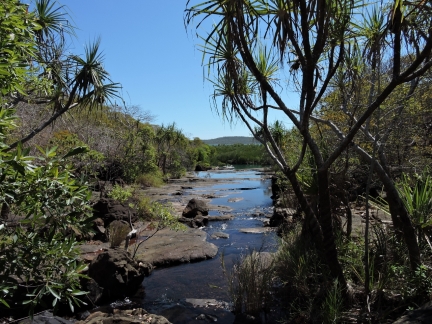 |
Freshwater Bay
Position: 126 11.11, -14 1.09
We’d read that Freshwater Bay was among the best anchorages in the Kimberley. It was pleasant enough, but it couldn’t compare to many of the places we’ve been in the area. It did have a nice series of pools and small waterfalls up a creek off the anchorage. This photo was taken looking back downstream towards the anchorage. You can’t really see it in the picture, but the top of Dirona‘s mast is just visible through the trees directly behind the dinghy.
|
 |
Lunch
Position: 126 11.10, -14 1.05
Lunch overlooking the junction of freshwater and salt.
|
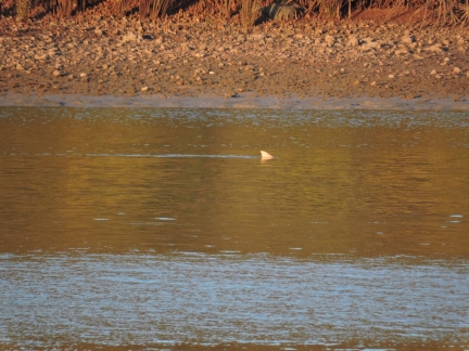 |
Shark
Position: 126 10.91, -14 0.78
A shark hunting in the shallows near sunset.
|

|
Click the travel log icon on the left to see these locations on a map, with the complete log of our cruise.
On the map page, clicking on a camera or text icon will display a picture and/or log entry for that location, and clicking on the smaller icons along the route will display latitude, longitude and other navigation data for that location. And a live map of our current route and most recent log entries always is available at http://mvdirona.com/maps. |

If your comment doesn't show up right away, send us email and we'll dredge it out of the spam filter.