More than a century before the smoke-spewing copper smelter at Point Ruston influenced Tacoma-born Frank Herbert’s penning of his epic novel Dune, the area supported the first European trading post in the Puget Sound. About 15 miles to the south, the Hudson’s Bay Company in 1832 established Fort Nisqually, which became an important fur-trading post for the region.
The fort closed in 1869 as the fur trade declined, but in 1930s was reconstructed on Point Defiance, the mainland peninsula Point Ruston extends from. Two of the original structures, the Factor’s House and the Granary, were transferred from the original site and are the only surviving Hudson’s Bay Company buildings in the country. The granary, built in 1843, is the oldest building in the state.
On a soggy weekend trip to Point Ruston, we made a rucking tour through Point Defiance Park and passed alongside Fort Nisqually, now a living history museum. The trail also brought us through the tranquil Northwest Native Plant Garden and afforded a great view to the Tacoma Narrows Bridge.
Below are highlights from November 8th and 9th, 2024. Click any image for a larger view, or click the position to view the location on a map. And a map with our most recent log entries always is available at mvdirona.com/maps.
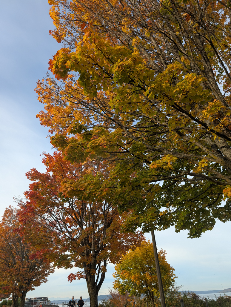 |
Fall Colors
Position: 47°16.55’N, -122°27.89’W
Fall colors on Ruston Way as we arrive for a weekend at Ruston Point.
|
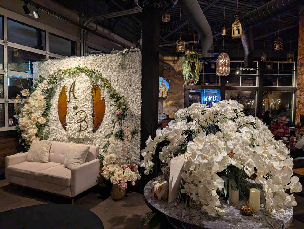 |
Boran Royal Thai Cuisine
Position: 47°17.99’N, -122°30.34’W
The elaborate foyer at Boran Royal Thai Cuisine where we picked up some Thai takeout for dinner.
|
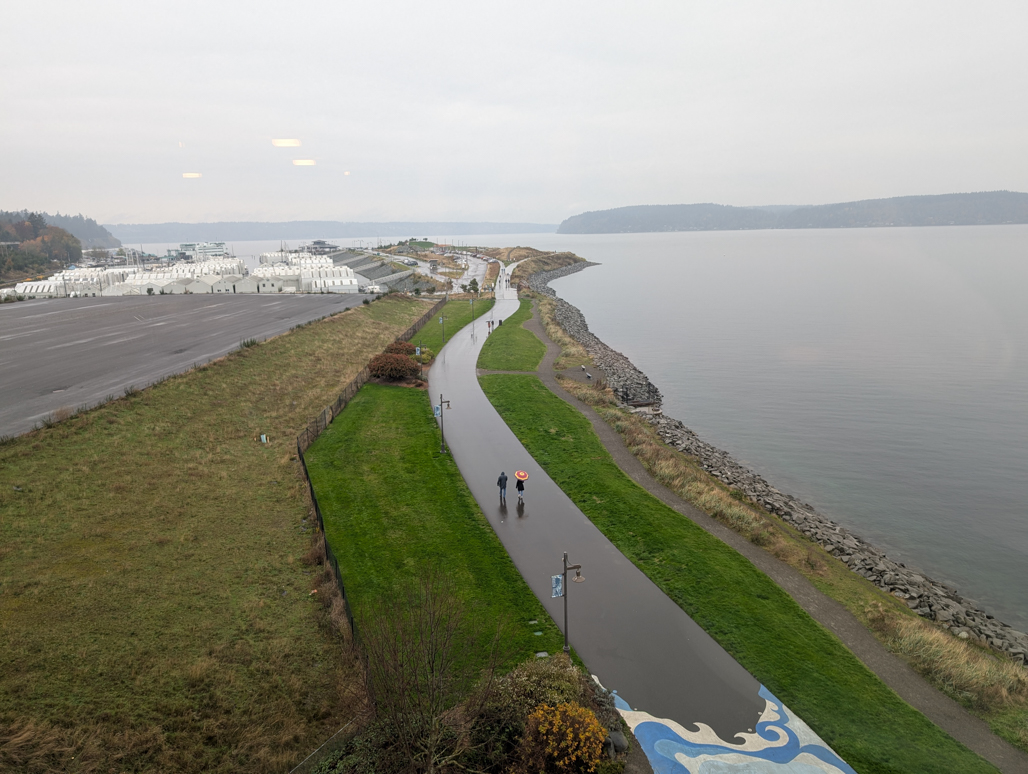 |
Point Ruston
Position: 47°18.05’N, -122°30.35’W
A soggy morning at Point Ruston, viewed from our hotel room at the Silver Cloud hotel.
|
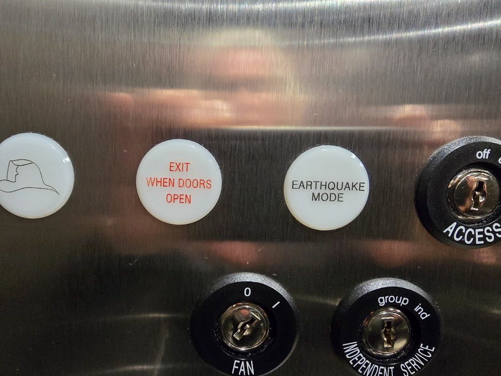 |
Earthquake Mode
Position: 47°18.02’N, -122°30.33’W
We’re not sure what earthquake mode means in this elevator in the Silver Cloud hotel, but we hope not to find out.
|
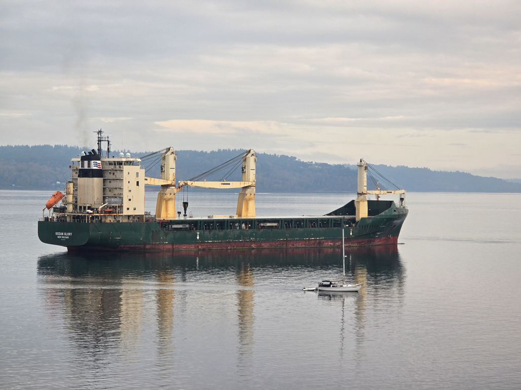 |
Ocean Glory
Position: 47°18.05’N, -122°30.35’W
A sailboat passing Ocean Glory, moored off our hotel room in the Silver Cloud at Ruston Point.
|
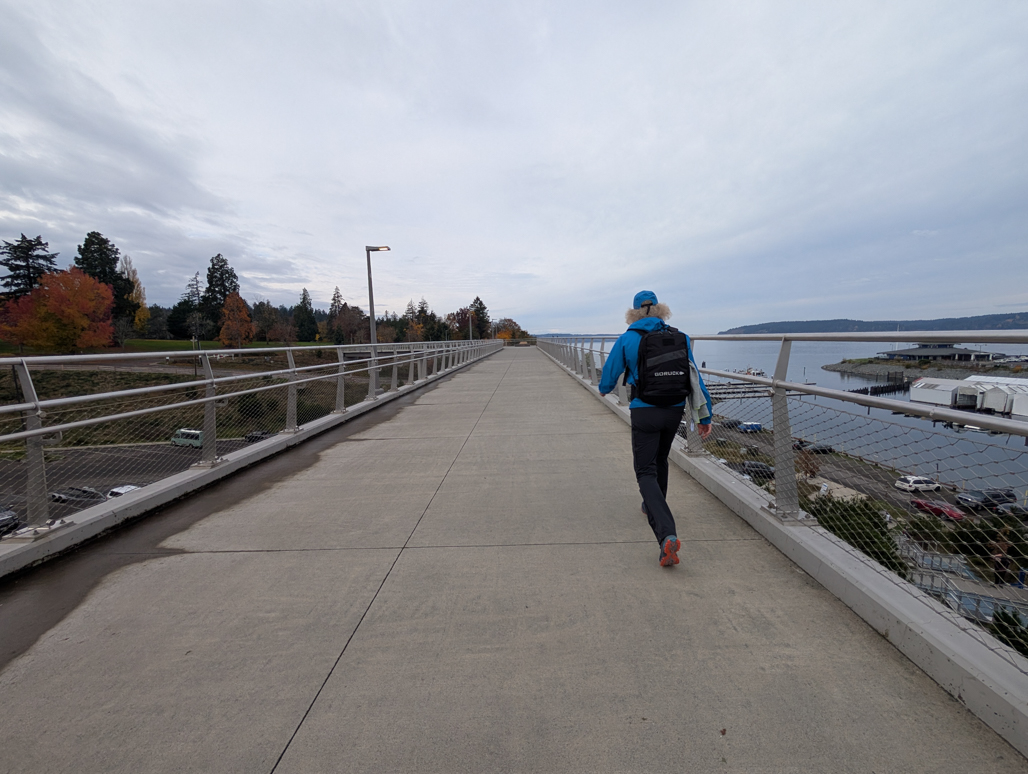 |
Wilson Way Pedestrian Bridge
Position: 47°18.24’N, -122°30.77’W
Crossing the Wilson Way Pedestrian Bridge on a ruck through Point Defiance Park.
|
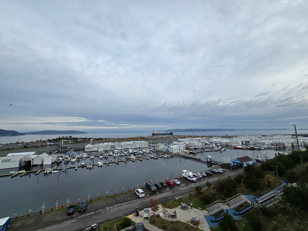 |
Tacoma Yacht Club
Position: 47°18.25’N, -122°30.78’W
Looking back to the Tacoma Yacht Club basin as we cross the Wilson Way Pedestrian Bridge.
|
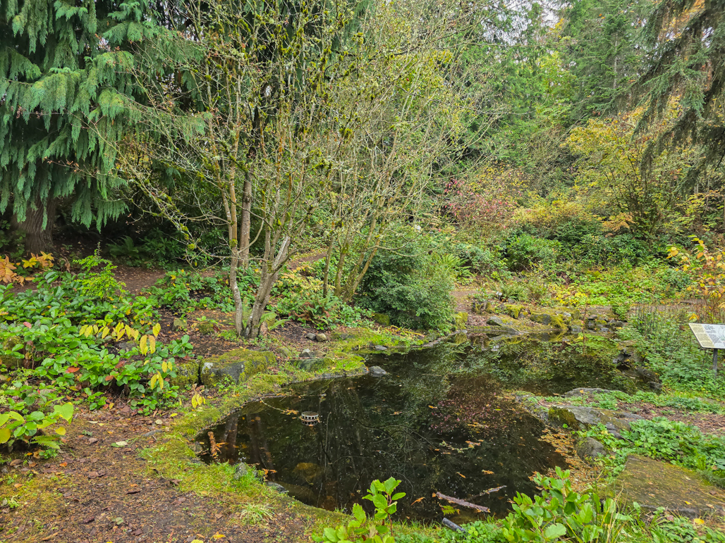 |
Northwest Native Plant Garden
Position: 47°18.14’N, -122°31.17’W
On our ruck through Point Defiance Park, we passed the tranquil Northwest Native Plant Garden.
|
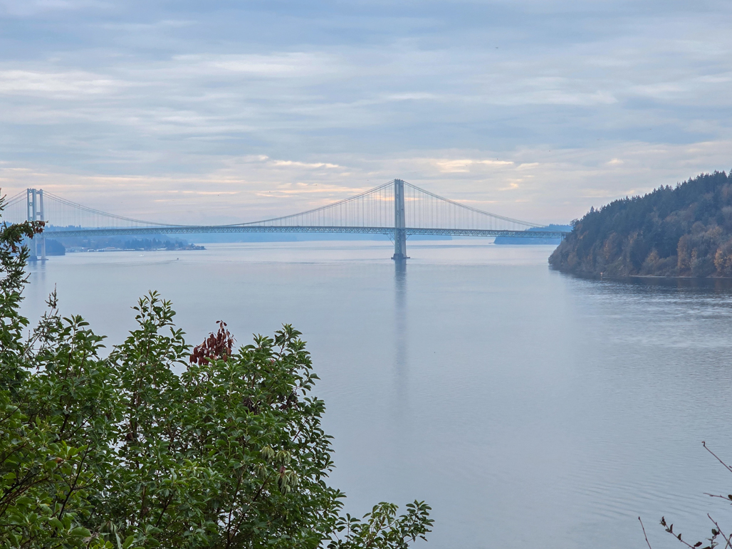 |
Tacoma Narrows Bridge
Position: 47°18.08’N, -122°31.99’W
A view to the Tacoma Narrows Bridge from the trail through Point Defiance Park.
|
|
|
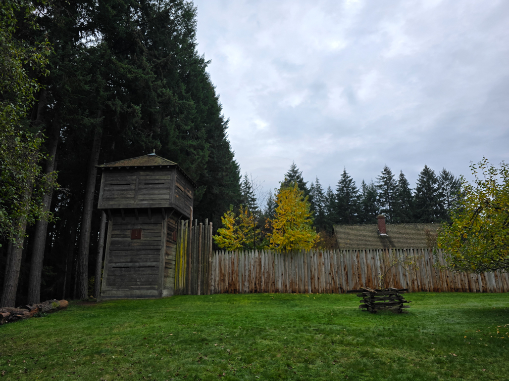
Fort Nisqually
Position: 47°18.23’N, -122°31.91’W
Fort Nisqually was established in 1832, about 15 miles to the south, as a Hudson’s Bay Company fur trading outpost. The fort closed in 1869 as the fur trade declined, but in 1930s was reconstructed in Point Defiance Park. Two of the original structures, the Factor’s House and the Granary, were transferred from the original site and are the only surviving Hudson’s Bay Company buildings in the country. The granary, built in 1843, is the oldest building in the state.
|
 |
Still Waters
Position: 47°18.23’N, -122°30.70’W
Looking across still waters to boats moored at the Tacoma Yacht Club.
|
 |
Copper & Salt
Position: 47°18.03’N, -122°30.32’W
A fun evening at Copper & Salt in the Silver Cloud hotel at Point Ruston.
|

|
Click the travel log icon on the left to see these locations on a map. And a map of our most recent log entries always is available at mvdirona.com/maps. |
If your comment doesn't show up right away, send us email and we'll dredge it out of the spam filter.