The beautiful and diverse Oregon coast has long been a special place for us. As a child, James lived in Eugene, Oregon and made many family trips to the coast. And many years later, it was where we took our first vacation together back in 1983.
From Crescent City, CA we traveled north on Highway 101, quickly passing into Oregon, and stopped for the night at the Salishan Coastal Lodge. This portion of Highway 101 hugs the coast, giving us great views along the way. And we made many stops during the day to linger over the fabulous coastal scenery. We hadn’t been on the Oregon coast for at least two decades, and it was great to be back.
The 274-mile (440 km) drive brought our total trip distance to 4,632 miles (7454 km) across 13 states (the others are South Carolina, Georgia, Florida, Alabama, Mississippi, Louisiana, Texas, New Mexico, Arizona, Utah, Nevada, and California).
Below are highlights from July 1st, 2021. Click any image for a larger view, or click the position to view the location on a map. And a live map of our current route and most recent log entries always is available at mvdirona.com/maps.
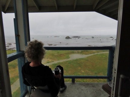 |
Breakfast
Position: 41°44.86’N, -124°12.19’W
Breakfast overlooking the Pacific from our room at the Oceanfront Lodge in Crescent City, CA.
|
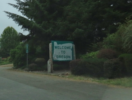 |
Oregon
Position: 41°59.94’N, -124°12.41’W
Entering Oregon, the 13th state on our trip (the others are South Carolina, Georgia, Florida, Alabama, Mississippi, Louisiana, Texas, New Mexico, Arizona, Utah, Nevada, and California).
|
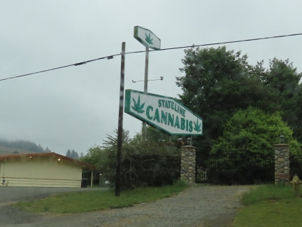 |
Stateline Cannabis
Position: 41°59.94’N, -124°12.41’W
Stateline Cannabis, just inside the Oregon border. Marijuana is legal in California now, but Oregon was the first state to decriminalize possession of small amount.
|
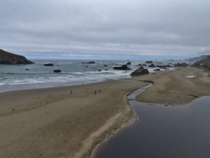 |
Harris Beach State Park
Position: 42°4.10’N, -124°18.91’W
At Harris Beach State Park. Our first view in many years of the beautiful and diverse Oregon coast, where we took our first vacation together back in 1983.
|
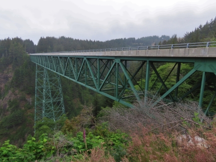 |
Thomas Creek Bridge
Position: 42°9.79’N, -124°21.50’W
Thomas Creek Bridge is the highest in Oregon, at 345 feet (105 m) high, with a longest span of longest span is 371 feet (113 m).
|
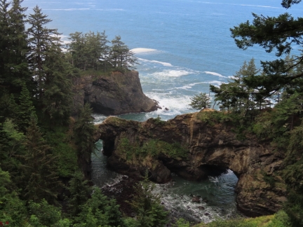 |
Natural Bridges
Position: 42°11.36’N, -124°21.97’W
Looking down to three sea arches from the Natural Bridges lookout, one of many attractions along Oregon’s Samuel H. Boardman State Scenic Corridor.
|
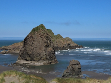 |
Meyer’s Creek Beach
Position: 42°18.08’N, -124°24.68’W
Dramatic formations at Meyer’s Creek right off Highway 101 in Oregon.
|
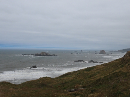 |
Cape Blanco
Position: 42°50.12’N, -124°33.46’W
Rugged and rocky shore at Cape Blanco, the most westerly tip of the Oregon coast.
|
 |
Cape Blanco Lighthouse
Position: 42°50.12’N, -124°33.46’W
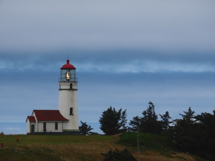
The Cape Blanco lighthouse, completed in 1870, is the oldest continuously operating light in Oregon.
|
 |
Coos Bay
Position: 43°21.35’N, -124°12.24’W
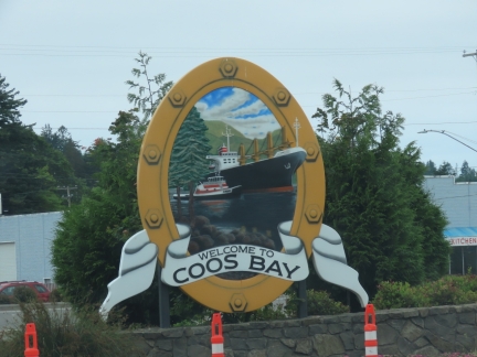
Passing through Coos Bay, the largest city on the Oregon coast with a population of 16,500.
|
 |
Fireworks
Position: 43°21.35’N, -124°12.24’W
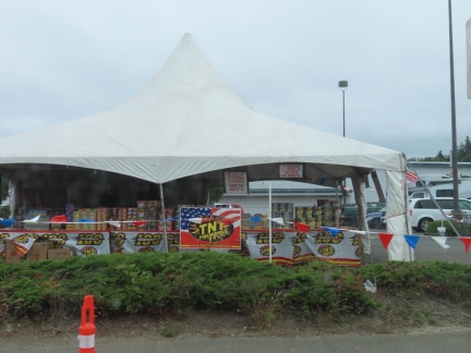
One of several fireworks stalls we passed in Coos Bay. Fireworks can be legally purchased at permitted outlets in Oregon from June 23 through July 6th.
|
 |
McCullough Memorial Bridge
Position: 43°24.28’N, -124°13.38’W
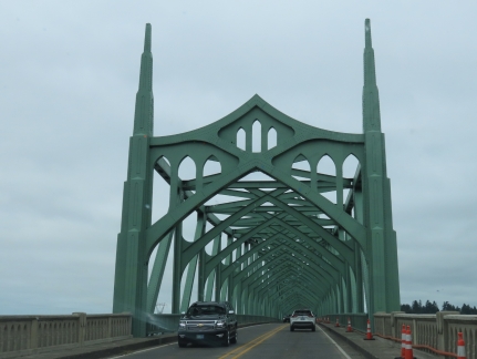
Crossing the McCullough Memorial Bridge over the Coos River. When completed in 1936, it was the longest in Oregon and is the National Historic Register for its attention to form and detail in the design, and for its economic and cultural impact.
|
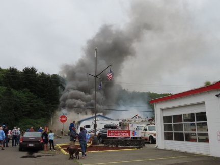 |
Fire
Position: 43°40.67’N, -124°10.46’W
We were astonished at how quickly a house fire can spread. In a short period of time, the house directly behind the white truck at center burned completely, the house in the left began billowing smoke and is almost destroyed, and the two houses behind are at serious risk. This despite being across the road from a fire station with a rapid response and many more fire trucks arriving minutes later.
|
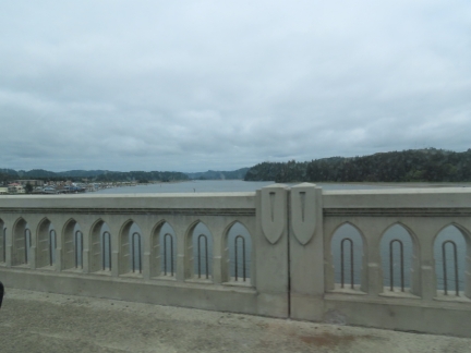 |
Siuslaw River
Position: 43°57.82’N, -124°6.51’W
Passing over the Suislaw River. The richly ornamented bridge, completed in 1936, is another notable historic bridge on the Oregon coast.
|
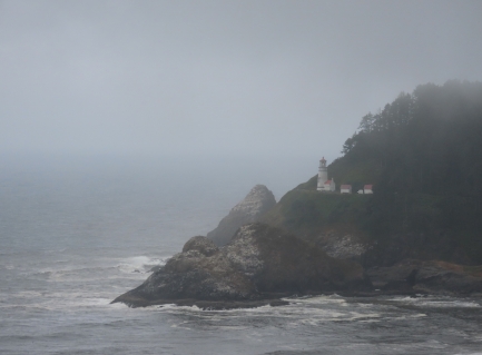 |
Heceta Head Lighthouse
Position: 44°7.15’N, -124°7.27’W
The Heceta Head lighthouse just about to disappear into the fog.
|
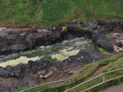 |
Devil’s Churn
Position: 44°17.03’N, -124°6.61’W
View to the coastal inlet known as Devil’s Churn. Waves surging through the narrow channel can throw spray several hundred feet in the air during big winter storms.
|
 |
Alsea Bay Bridge
Position: 44°25.41’N, -124°4.20’W
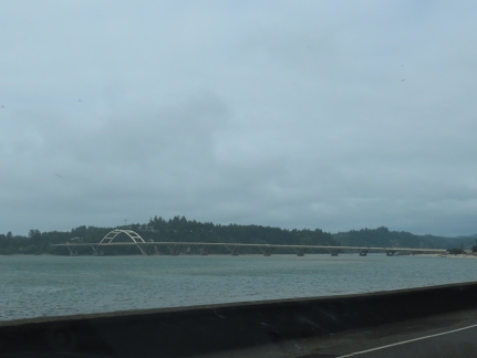
The Alsea Bay Bridge, completed in 1991 to replace the original 1936 bridge that suffered extreme corrosion damage.
|
 |
Yaquina Bay
Position: 44°37.24’N, -124°3.28’W
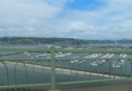
View across Newport Marina to Yaquina Bay as we cross over the historic Yaquina Bay Bridge.
|
 |
Spitfire
Position: 44°53.32’N, -124°1.34’W
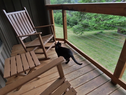
Spitfire checking out the deck in our room at the Salishan Coastal Lodge. The resort is fairly high-end, and we were surprised they allowed pets, but the lodge is incredibly pet friendly. Few likely were traveling with cats, but it seemed that half the guests brought their dogs. They even supply a pet welcome kit on check-in.
|
 |
Salishan
Position: 44°53.32’N, -124°1.34’W
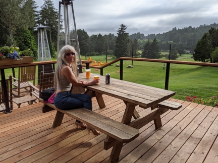
We had a wonderful meal overlooking the golf course on the deck at Oregon’s Salishan Coastal Lodge.
|
 |
Click the travel log icon on the left to see these locations on a map, with the complete log of our cruise.
On the map page, clicking on a camera or text icon will display a picture and/or log entry for that location, and clicking on the smaller icons along the route will display latitude, longitude and other navigation data for that location. And a live map of our current route and most recent log entries always is available at mvdirona.com/maps. |

A founding member of my favourite band hails from Eugene. So I’ve got a “wow, small world!” feeling even though that’ s not really justified …
(https://en.wikipedia.org/wiki/Corin_Tucker)
I saw the note on one picture that Jamies’ new job (congrats!) is hard to do remotely – are you back to weekend boat trips like the old days?
The current adventure is a year or two in downtown Seattle and we’re loving it. During this period, we’re not boating and aren’t expecting to return to weekend boating in the near future. Over time we have evolved to a style of doing a few things in a big way rather than many things at once so we’re OK with not boating for the next while.
Now that you have moved back to Seattle, what will become of Dirona?
The original plan was to fly out to the east coast every two to four months but my work is sufficiently busy and the east coast is sufficiently distant to make that approach seem impractical. The next plan was to put it in dry storage for a year and likely two so I can focus on work for that period. But, over the past few months, even this plan seemed wasteful and we just hate the thought of leaving the boat to decay for a couple of years before we next use it.
We’ve reluctantly come around to concluding the best choice for us is to sell Dirona. It’s almost hard to say but that is our current plan.