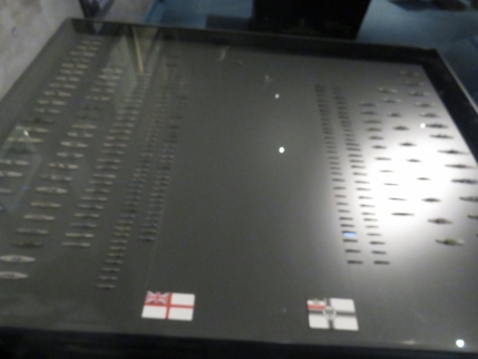
The largest naval battle in history took place 55nm west of Thyboron, Denmark. In 1916, 99 ships German High Seas fleet faced 151 ships of the British Grand Fleet in the World War I Battle of Jutland. One of the reasons we’d stopped at Thyboron was to visit the Sea War Museum there, with its many meticulously-restored salvaged artifacts and excellent displays about the battle and related events.
Below are trip highlights from October 7th in Thyboron, Denmark. Click any image for a larger view, or click the position to view the location on a map. And a live map of our current route and most recent log entries always is available at mvdirona.com/maps
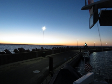 |
Dawn
Position: 56°42.39’N, 8°13.35’E
Our first Danish sunrise on Dirona, looking east from our moorage at Thyboron yacht harbour.
|
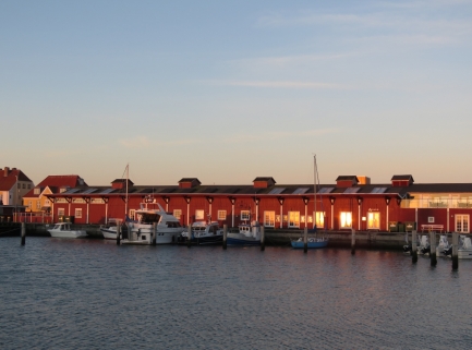 |
Fiskehallen
Position: 56°42.39’N, 8°13.35’E
The Thyboron Fiskehallen (“fish hall”) aglow in the morning sun.
|
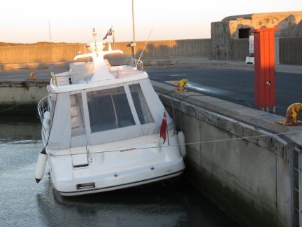 |
Fixed Dock
Position: 56°42.39’N, 8°13.35’E
We’re tied off to a fixed dock with about two feet of tidal range, so don’t need a lot of slack on our lines. But we did allow more slack than the boat in front of us.
|
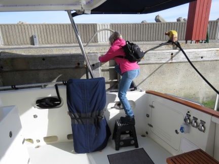 |
Step
Position: 56°42.39’N, 8°13.36’E
One of the items we brought back from our last trip to Seattle was a folding step-stool. It’s lightweight, folds flat, stows easily in the cockpit locker under the BBQ, and makes getting on and off the boat at fixed piers much easier.
|
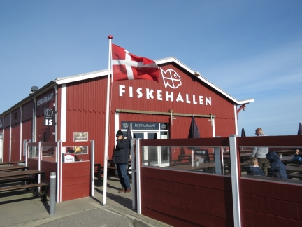 |
Fiskehallen
Position: 56°42.34’N, 8°13.27’E
We had a fresh seafood lunch at Fiskehallen overlooking the harbour.
|
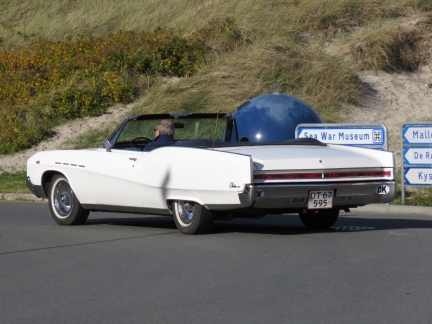 |
Electra
Position: 56°42.38’N, 8°13.22’E
A Buick Electra 225 convertible was out cruising on this sunny Sunday afternoon. This is from an era when American cars were BIIIIG.
|
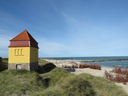 |
Transformer Station
Position: 56°42.41’N, 8°13.17’E
Historic transformer station built in 1919 during the construction of Thyboron Harbour.
|
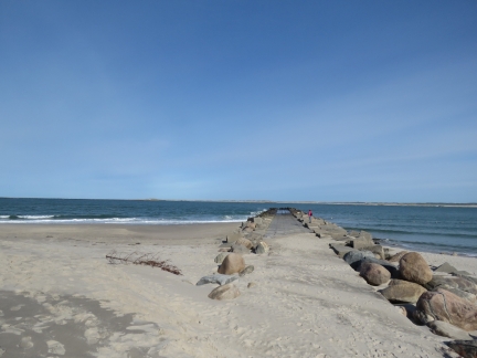 |
Thyboron Kanal
Position: 56°42.45’N, 8°13.11’E
Jennifer looking out to sea across Thyboron Kanal. We passed through here yesterday.
|
 |
Radar Station
Position: 56°42.45’N, 8°13.11’E
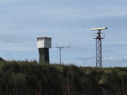
Old World War II radar station off Thyboron Kanal.
|
 |
Sea War Museum
Position: 56°42.38’N, 8°12.90’E
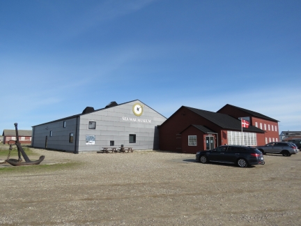
Back in July of this year, blog reader Lars-Henrik K. Arvedsen suggested we enter Denmark at Thyboron and go to the Sea War Museum there, then cruise east through the Limfjord. That eventually became our plan, and we’ve been looking forward to our visit ever since.
|
 |
Battle of Jutland
Position: 56°42.39’N, 8°12.93’E
Display showing the ships that took part in the 1916 World War I Battle of Jutland. Ninety-nine ships of the German High Seas fleet (right) faced 151 ships of the British Grand Fleet roughly 55nm west of Thyboron, in the first and only meeting of the two fleets and the largest naval battle in history. While in Belfast last year, we’d toured the only surviving ship from that battle, the HMS Caroline.
|
 |
Sunk Ships
Position: 56°42.40’N, 8°12.93’E
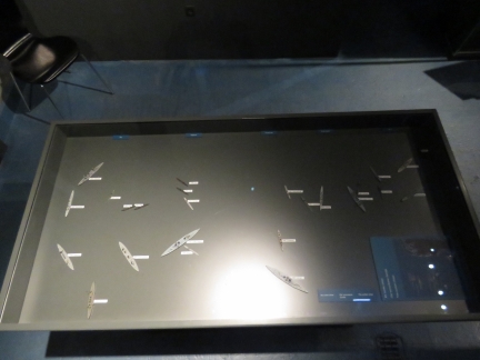
The Battle of Jutland had no clear winner, but 25 ships and 9,000 lives were lost. This display shows the names and relative location of each ship that sank.
|
 |
Conning Tower
Position: 56°42.39’N, 8°12.95’E
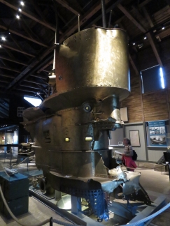
Brass connning tower from British World War I submarine E-50, lost in Feburary of 1918, one of many restored artifacts in the museum’s collection. The tower was made of brass to not interfere with the ship’s compass.
|
 |
Restoration
Position: 56°42.39’N, 8°12.94’E
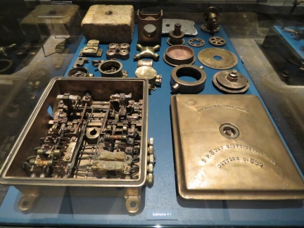
The Sea War Museum was well-worth visiting, with excellent displays and information about the Battle of Jutland and related events. We were particularly impressed with the many meticulously-restored salvaged artifacts.
|
 |
Separated at Birth?
Position: 56°42.39’N, 8°12.94’E
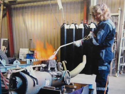
This photograph of a person restoring an artifact at the museum looked surprisingly like James.
|
 |
Memorial
Position: 56°42.47’N, 8°12.86’E
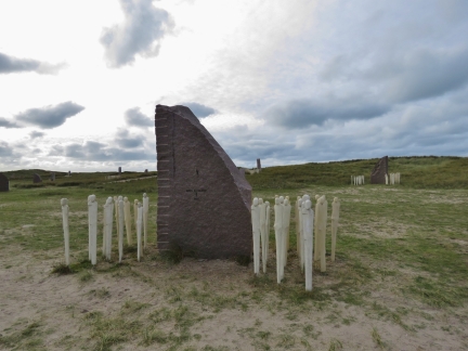
Outside the Sea War Museum is the Battle of Jutland Memorial Park. The memorial includes a stone for each ship sunk, placed relative to their positions on the seabed, and will eventually have a figure standing with the stone for each life lost. This stone represents the HMS Invincible with a loss of 1,026 lives.
|
 |
Torpedoes
Position: 56°42.39’N, 8°12.94’E
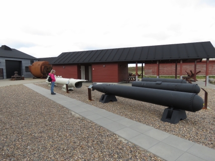
A display of torpedoes and casings outside the Sea War Museum.
|
 |
Barriers
Position: 56°42.53’N, 8°12.84’E
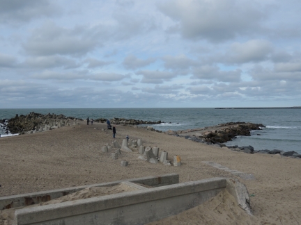
Erosion barriers on the coast, looking northwest across the Thyboron Kanal entrance from sea.
|
 |
Port of Thyboron
Position: 56°42.41’N, 8°13.32’E
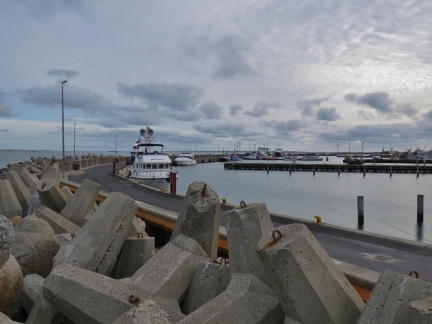
Looking across the Port of Thyboron from the heavily-protected sea wall.
|
 |
Seaside Cafe
Position: 56°42.28’N, 8°13.26’E
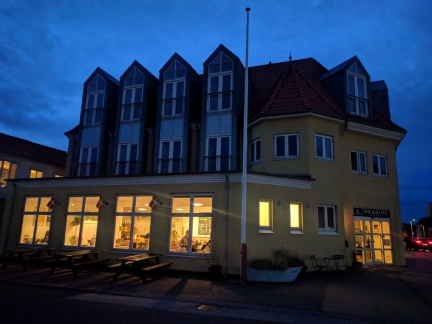
We had a enjoyable dinner overlooking the harbour at the cosy Seaside Cafe.
|

|
Click the travel log icon on the left to see these locations on a map, with the complete log of our cruise.
On the map page, clicking on a camera or text icon will display a picture and/or log entry for that location, and clicking on the smaller icons along the route will display latitude, longitude and other navigation data for that location. And a live map of our current route and most recent log entries always is available at mvdirona.com/maps. |

If your comment doesn't show up right away, send us email and we'll dredge it out of the spam filter.