On our second day in the Kiel Canal, we stopped for the night in Rendsburg after an 11-mile run from Lake Flemhude. As part of our “full Kiel Canal experience” we had lunch canal-side at the Bruckenterrassen Cafe with a view to the passing ships. We also walked under the canal through a pedestrian tunnel and enjoyed touring around Rendsburg, including a pass along the old Eider Canal that opened in 1784 and closed in 1887 when the Kiel Canal replaced it.
Below are trip highlights from October 18th in the Kiel Canal, Germany. Click any image for a larger view, or click the position to view the location on a map. And a live map of our current route and most recent log entries always is available at mvdirona.com/maps
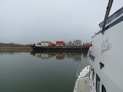 |
DS Blue Ocean
Position: 54°20.48’N, 9°57.85’E
We set off from Lake Flemhude at 8:30 this morning and stopped at the mouth for some ship traffic to pass before entering the Kiel Canal. The first was the 425ft (129.6m) container ship DS Blue Ocean heading west.
|
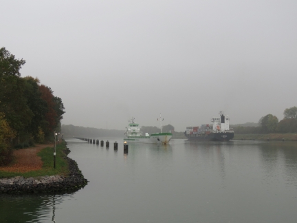 |
CFL Proud
Position: 54°20.48’N, 9°57.84’E
The DS Blue Ocean and the 388ft (118.4m) cargo ship CFL Proud passing in the siding to our west.
|
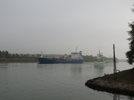 |
Fure Fladen
Position: 54°20.48’N, 9°57.85’E
The third ship to pass the mouth of Lake Flemhude was the 472ft (144m) chemical tanker Fure Fladen.
|
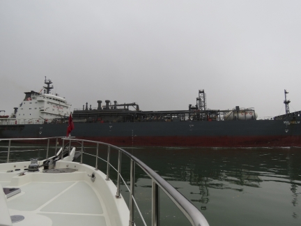 |
Wilhelm Schulte
Position: 54°20.53’N, 9°57.68’E
We entered the Kiel Canal once clear of the the fourth passing ship, the 508ft (155m) LPG tanker Wilhelm Schulte.
|
 |
Water Drop
Position: 54°20.73’N, 9°54.95’E
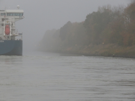
You can see a pronounced drop in water level near the bank as the Fure Fladen passes, an anomaly related to the “bank effect” that we experienced when cruising Scotland’s narrow Crinan Canal last summer. The “bank effect” is the tendency for ship’s stern to be pulled toward the nearest bank due to pressure differentials (Bernoulli’s principle).
|
 |
Camper
Position: 54°21.28’N, 9°53.25’E
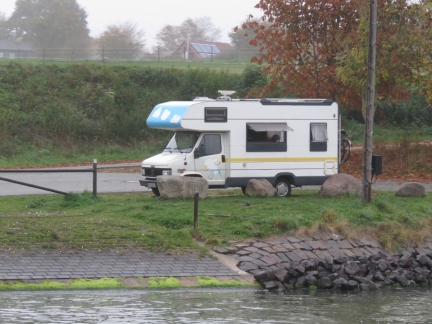
We frequently saw campers and cars parked along the Kiel Canal, their occupants taking in the view to the passing ships.
|
 |
Swans
Position: 54°21.84’N, 9°50.19’E
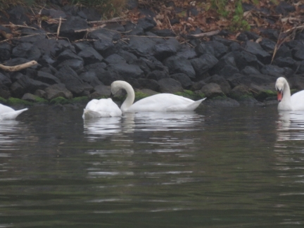
Swans along the Kiel Canal.
|
 |
Jack-Up House
Position: 54°19.93’N, 9°43.79’E
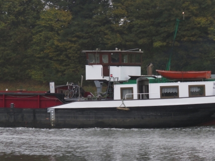
We passed several barges with pilot houses that could be hydraulically raised or lowered to increase visibility or decrease air draft.
|
 |
Lurssen
Position: 54°19.56’N, 9°43.11’E
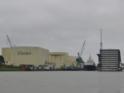
The German super-yacht builder Lurssen has built many spectacular yachts over the years. Notable among them is Octopus (that we’ve seen in San Francisco Bay, Hawaii and Sydney, Australia), one of the largest yachts in the world at 414ft (126m) long.
|
 |
Traffic
Position: 54°19.28’N, 9°42.79’E
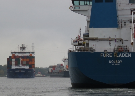
Looking past the Fure Fladen to the oncoming Emotion and the DS Blue Ocean beyond, with the Nobiskrug ferry crossing in the distance. Those ferry captains really have to thread the needle to get back and forth across the canal with so much ship traffic.
|
 |
Oste
Position: 54°18.73’N, 9°41.93’E
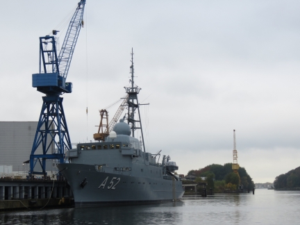
The 274ft (83.5m) German Navy reconnaissance ship Oste docked along the Eider River.
|
 |
Nobiskrug
Position: 54°18.69’N, 9°41.62’E
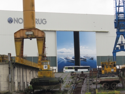
The area is popular for super-yacht builders with Nobiskrug opposite the Kiel Canal from Lurssen.
|
 |
Rafting
Position: 54°18.39’N, 9°40.31’E
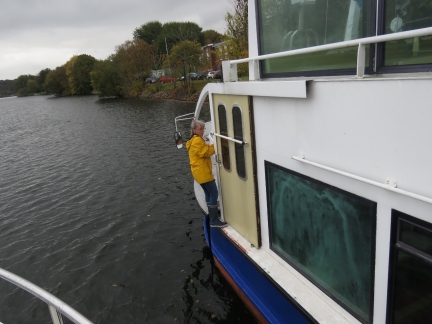
Regatta Association Rendsburg had assigned us the only side-tie available, alongside a tour boat moored there for the winter. This worked out well, but we needed to walk along a narrow ledge to secure our bow line. Fortunately there were plenty of grab rails.
|
 |
Regatta Association Rendsburg
Position: 54°18.38’N, 9°40.29’E
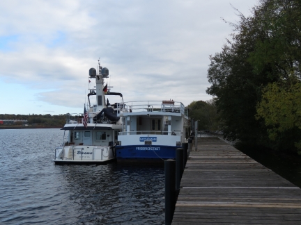
Moored alongside the tour boat Gothmann at Regatta Association Rendsburg in Lake Obereider.
|
 |
Hydroplanes
Position: 54°18.35’N, 9°40.04’E
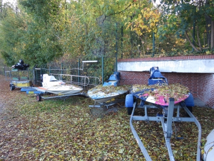
Hydroplanes parked for the winter at Regatta Association Rendsburg. They run races out in Lake Obereider during the summer.
|
 |
Bruckenterrassen Cafe
Position: 54°17.65’N, 9°40.98’E
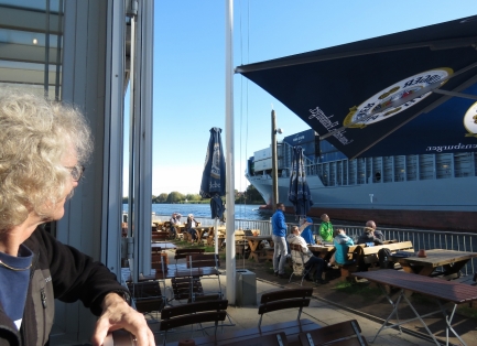
As part of our “full Kiel Canal experience” we had lunch canal-side at the Bruckenterrassen Cafe with a great view to the passing ships. We had a pretty good lunch too.
|
 |
Ships Welcome Point
Position: 54°17.66’N, 9°40.98’E
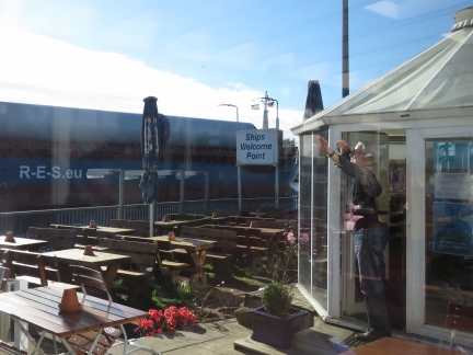
The Bruckenterrassen Cafe sponsors the Ships Welcome Point, where an employee announces information about each commercial ship, plays the national anthem of the ship’s country, and waves as they pass.
|
 |
Suspension Ferry
Position: 54°17.67’N, 9°40.94’E
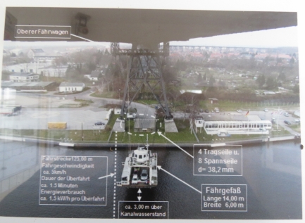
We were hoping to ride across the canal on the unique suspension ferry, built in 1913. But unfortunately it collided with a ship in 2016 and still is out of service. Here’s a photo of the ferry in action from a small on-site museum. The Bruckenterrassen Cafe where we had lunch is on the right.
|
 |
Metal Lathe
Position: 54°17.62’N, 9°40.45’E
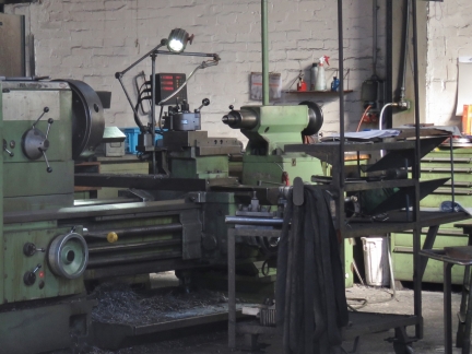
The Rendsburg commercial area has many metal fabricators and most of the shop doors were open on this nice warm day, which was fun for us.
|
 |
Rendsburg High Bridge
Position: 54°17.51’N, 9°40.08’E
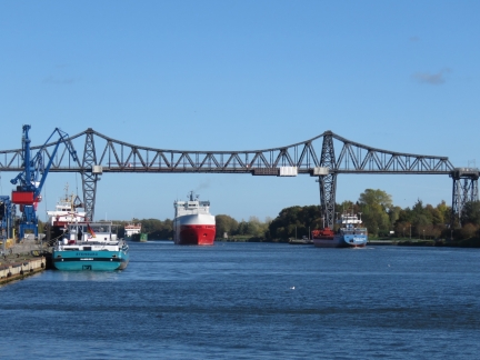
The Rendsburg High Bridge was completed in 1913 to carry rail traffic and the suspension ferry. The distinctive twin-peaked bridge outline forms the town’s logo.
|
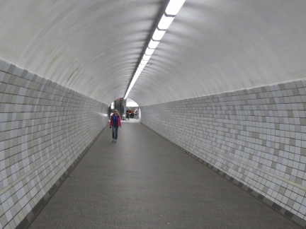 |
Under the Kiel Canal
Position: 54°17.51’N, 9°39.84’E
We couldn’t cross the canal in the suspension ferry, but we could walk under it through a pedestrian tunnel.
|
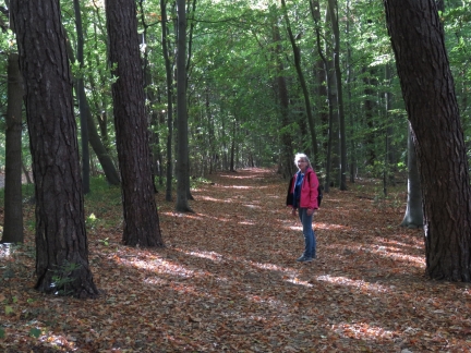 |
Park
Position: 54°17.34’N, 9°39.04’E
Walking through a lovely tree-lined park on the north side of the Kiel Canal.
|
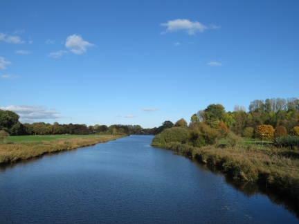 |
Eider Canal
Position: 54°18.07’N, 9°38.91’E
Overlooking the old Eider Canal, opened in 1784 and closed in 1887 when the Kiel Canal replaced it.
|
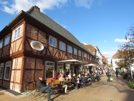 |
Rendsburg
Position: 54°18.33’N, 9°39.65’E
A cafe-lined square in downtown Rendsburg with crowds out enjoying the warm and sunny weather.
|
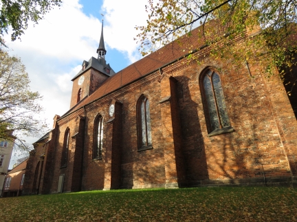 |
Parish of St. Mary I
Position: 54°18.30’N, 9°39.93’E
The Parish of St. Mary I in Rendsburg was built in 1287 and has gone through several extensions and restorations over the centuries since.
|
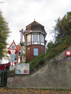 |
Station House
Position: 54°18.18’N, 9°40.19’E
Station house dating from 1910 along the Rendsburg railway.
|
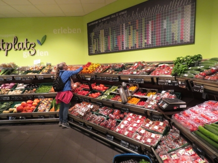 |
Produce
Position: 54°18.17’N, 9°40.35’E
Picking out some produce from the excellent selection at Edeka in Rendsburg.
|
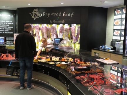 |
Beef
Position: 54°18.19’N, 9°40.34’E
The Edeka grocery store has an impressive beef selection.
|
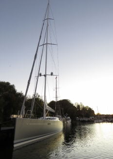 |
Mini Y
Position: 54°18.40’N, 9°40.31’E
While we were touring Rendsburg, the UK-flagged 85ft (25m) yacht Mini Y arrived and moored behind us.
|
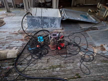 |
Bilge Pumps
Position: 54°18.37’N, 9°40.25’E
How do you tell this wooden boat is leaking a bit? :)
|
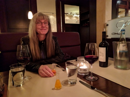 |
Julischka
Position: 54°18.28’N, 9°40.77’E
Enjoying our first taste of Julischka, a pear-plum liqueur included as an aperitif with our dinner at Laguna Mediterranean restaurant. We had an excellent evening.
|
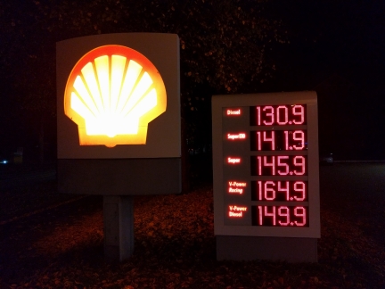 |
Fuel Prices
Position: 54°18.28’N, 9°40.67’E
A suprisingly wide variety of fuel qualities are available in Europe. The gas prices vary by €0.23/L or 16% between best and worst, the diesel prices by €0.19/L or 15%, and some diesels are more expensive than some gasolines. (Click image for a larger view.)
|
 |
Evening
Position: 54°18.39’N, 9°40.30’E
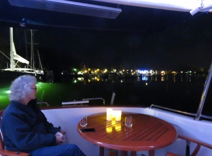
Enjoying a warm and calm evening under the patio heater on the back deck with a view to Rendsburg.
|

|
Click the travel log icon on the left to see these locations on a map, with the complete log of our cruise.
On the map page, clicking on a camera or text icon will display a picture and/or log entry for that location, and clicking on the smaller icons along the route will display latitude, longitude and other navigation data for that location. And a live map of our current route and most recent log entries always is available at mvdirona.com/maps. |

I take it that a “suspension ferry” is treated as distinct from a “transporter bridge”, which seems to be the more generic (original?) design. We’ve still got a few operating thru the UK (and Europe), where its just basically a section of roadway suspended and moving from one side to the other. Control is managed by a shore-based bridge operator, which I presume might be the deciding factor in classifying a “suspension ferry” differently if the operator is present on the mobile platform …
Take a look at the “Newport Transporter Bridge” in the UK for a still working example.
It won’t be the first time we have seen something advertised as the best, the first, the only, … and only later found another later in our trip. One so common it’s a regular joke between Jennifer and I is the “world’s northernmost Brewery” — we’ve seen and enjoyed many of those :-).
Perhaps it is as you mentioned and the land-based operator is the difference? Given we didn’t see this one operating, we’ll have to find one of the examples you mentioned. Thanks Craig.