In early October, we made a 180-mile overnight crossing of the North Sea from Stavanger, Norway to Thyboron, Denmark. We’d had an incredible five months in Norway and wish we could have stayed for a year or more. The North Sea has a fearsome reputation, but we had a blissfully easy run with winds less than twenty knots and seas on the stern most of the way.
Below are trip highlights from October 5th and 6th en route from Stavanger, Norway to Thyboron, Denmark. Click any image for a larger view, or click the position to view the location on a map. And a live map of our current route and most recent log entries always is available at mvdirona.com/maps
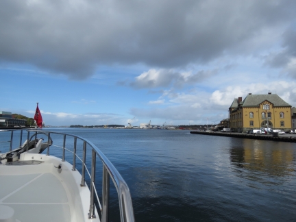 |
Leaving Norway
Position: 58°58.33’N, 5°43.72’E
Departing Stavanger, and Norway, en route to Denmark.
|
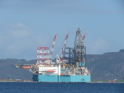 |
Rowan Stavanger
Position: 58°59.63’N, 5°42.02’E
The jack-up rig Rowan Stavanger moored off Stavanger.
|
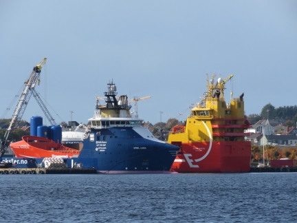 |
Stril Luna
Position: 59°0.08’N, 5°41.19’E
The multi-purpose offshore supply vessel Stril Luna moored with the platform supply vessel Viking Queen north of Stavanger.
|
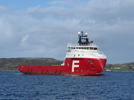 |
Far Sygna
Position: 59°0.81’N, 5°39.53’E
Far Sygna underway north of Stavanger. Norway sure has a lot of impressive-looking offshore supply vessels.
|
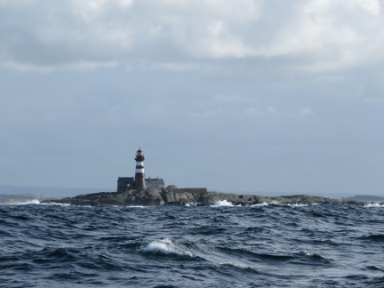 |
Feistein Fyr Lighthouse
Position: 58°50.10’N, 5°29.55’E
The 85ft (26m) Feistein Fyr lighthouse was established in 1859 and automated in 1990.
|
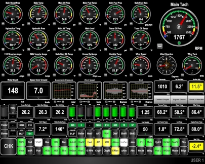 |
Conditions
Position: 58°40.44’N, 5°30.21’E
With westerly winds and seas, we were pitching up to 10° as we turned southwest. Now that we’re heading more southeasterly, the seas are on the beam and the aft starboard quarter. Pitching and since reduced and we’re now rolling up to 13°, but that is much more manageable and comfortable. Conditions are forecast to settle down as we get farther from the Norwegian coast. We continue to appreciate our ABT stabilizers.
|
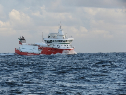 |
With Harvest
Position: 58°32.08’N, 5°37.32’E
The 229ft (70m) cargo vessel With Harvest bucking into the seas. I guess it is rough out here.
|
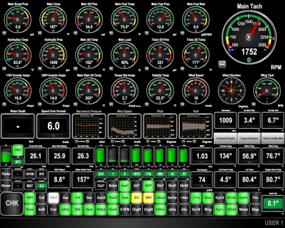 |
Conditions
Position: 57°53.01’N, 6°32.29’E
As expected, conditions have settled down considerably and we’re now pitching only 3.4° and rolling 6.7°, much nicer. This should last all the way to Denmark.
|
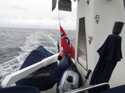 |
Norway Courtesy Flag
Position: 57°5.49’N, 7°39.99’E
Lowering our Norwegian courtesy flag. That’s been up a while.
|
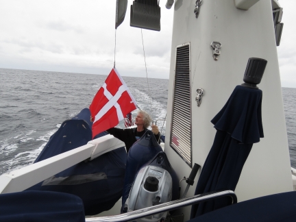 |
Denmark Courtesy Flag
Position: 57°5.39’N, 7°40.13’E
And raising our Danish courtesy flag. We’re almost across the North Sea.
|
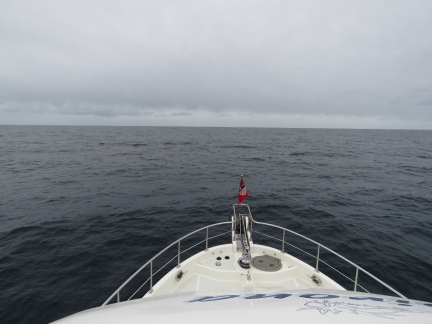 |
Calm
Position: 57°5.39’N, 7°40.13’E
Wonderfully calm conditions as we approach Denmark, not far from the site of the the World War I Battle of Jutland.
|
 |
Spitfire
Position: 57°3.84’N, 7°42.32’E
Spitfire rarely treats ocean-crossing with the respect they deserve.
|
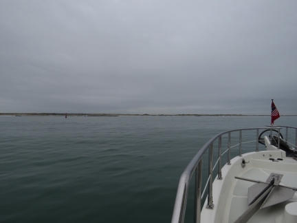 |
Thyboron Kanal
Position: 56°42.79’N, 8°13.49’E
Entering the Thyboron Kanal. The channel feels wide and easy to run, but even in these calm conditions the waves are picking up through the shallow bar entry. This feels like a place to avoid in heavy weather.
|
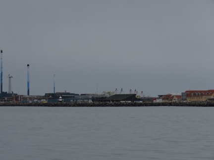 |
Thyboron
Position: 56°42.72’N, 8°13.68’E
Our first view to Thyboron, where we’ll make landfall in Denmark.
|
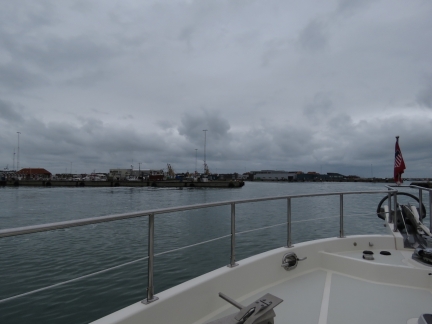 |
Port of Thyboron
Position: 56°42.05’N, 8°13.48’E
Entering the large Port of Thyboron, full of commercial boats.
|
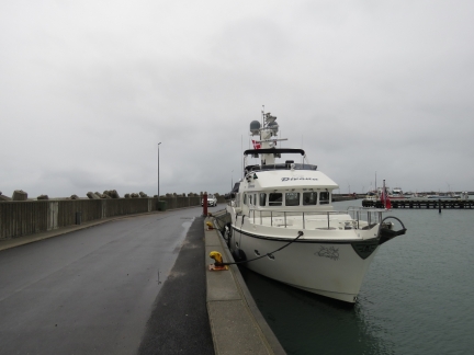 |
Moored
Position: 56°42.40’N, 8°13.33’E
Dirona moored at the Thyboron yacht harbour, Denmark. The marina is closed for the winter, so there’s no power, but there’s also no charge for moorage. As with entering Norway, we don’t have to complete any clearance formalities. We’re already cleared into the border-free Schengen area, so don’t require immigration clearance. Spitfire’s Pet Passport is sufficient for him to enter. And if we don’t have anything to declare, we don’t need to clear through with customs either.
Also, the EU “Roam Like at Home” rule means our existing cellular data plan works in Denmark the same as in Norway. We had cellular coverage as soon as we were in range of the Danish coast and don’t need to immediately purchase a local SIM card. |
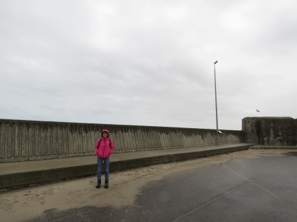 |
Sand
Position: 56°42.40’N, 8°13.30’E
Jennifer standing in front of a high breakwater with piles of sand inside. The waves must really crack over these massive structures in storms.
|
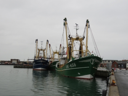 |
Fishing Vessels
Position: 56°42.18’N, 8°13.31’E
A few of the many large fishing vessels moored at the Port of Thyboron.
|
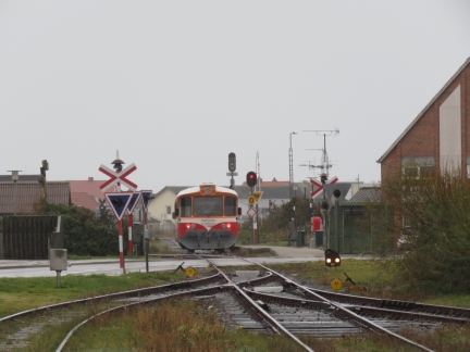 |
Train
Position: 56°42.32’N, 8°13.07’E
Train coming into Thyboron.
|
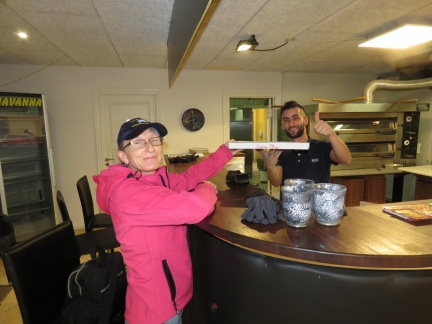 |
Havanna Pizza
Position: 56°42.27’N, 8°13.19’E
Picking up a delicious take-out pizza from Havanna Pizza in Thyboron. While waiting, we had a great discussion with the proprietor, ranging from citizenship and travel to the world-wide price of pizza.
|

|
Click the travel log icon on the left to see these locations on a map, with the complete log of our cruise.
On the map page, clicking on a camera or text icon will display a picture and/or log entry for that location, and clicking on the smaller icons along the route will display latitude, longitude and other navigation data for that location. And a live map of our current route and most recent log entries always is available at mvdirona.com/maps. |

If your comment doesn't show up right away, send us email and we'll dredge it out of the spam filter.