
Jostedalsbreen, at 188 sq miles (486 sq km), is the largest icecap in mainland Europe. The icecap extends close to Fjærland at the head of Fjærlandsfjord, a northerly arm of Sognefjord, Norway’s longest fjord. From the guest dock at Fjærland we made an easy bike trip to Jostedalsbreen at Supphellebreen Glacier. On the way back to town, we stoppped in at the excellent Norwegian Glacier Museum to learn more about Jostedalsbreen and the area.
Below are trip highlights from May 9th, 2018 in in Fjærland, Norway. Click any image for a larger view, or click the position to view the location on a map. And a live map of our current route and most recent log entries always is available at mvdirona.com/maps
 |
Flåm
Position: 7 7.29, 60 51.76
A last look at Flåm as we depart for Fjærland.
|
 |
Calm
Position: 7 9.74, 60 56.13
The weather is wonderfully calm and clear today.
|
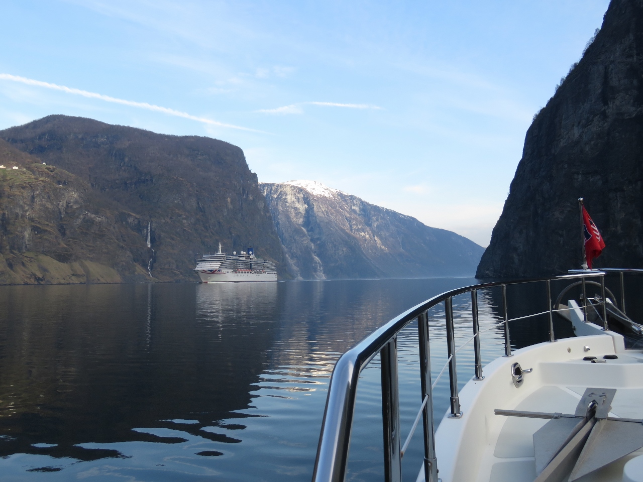 |
Arcadia
Position: 7 5.49, 60 58.14
We thought we’d arrived in Flåm before the cruise ship season, but a some have already been here and two will arrive today. Although it would have been fun to see the cruise ship docked at tiny Flåm, we’re glad to have missed the crowds. The 950ft (290m) Arcadia can carry up to 2,388 passengers. These ships are one of the few things not dwarfed by the surrounding scenery.
|
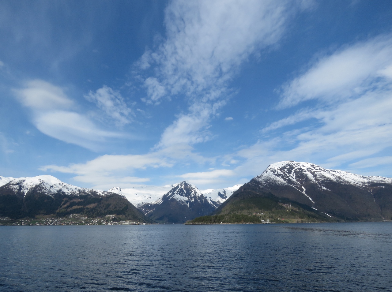 |
Esefjord
Position: 6 35.30, 61 12.47
Snow-covered mountains at the end of Esefjord as we turn north into Fjærlandsfjord.
|
 |
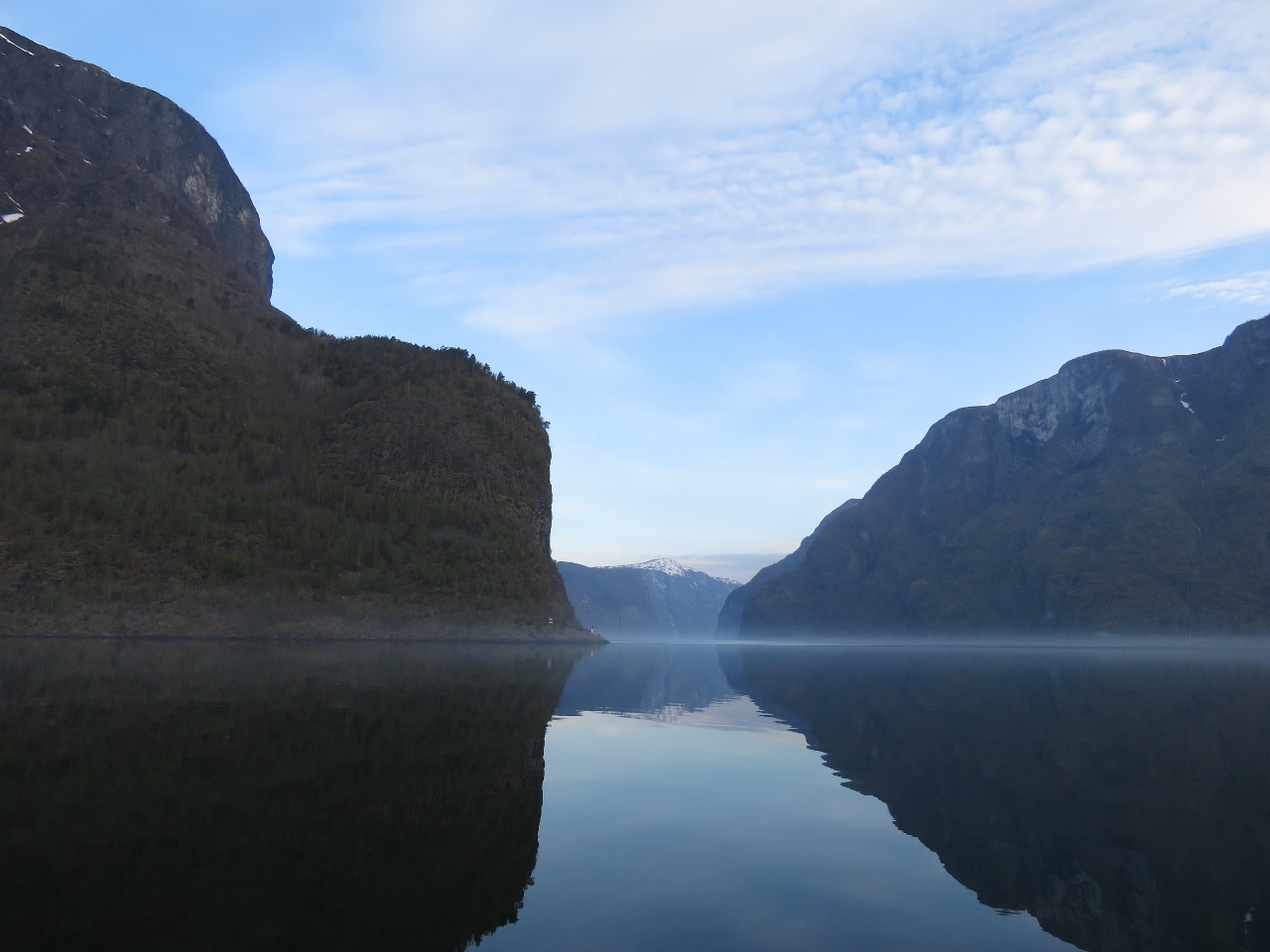
Reflections
Position: 6 41.99, 61 19.48
The calm weather continues as we head up Fjærlandsfjord with the mountains reflected almost perfectly in the water.
|
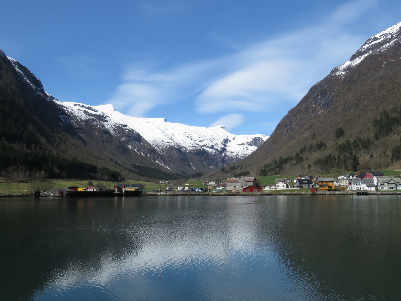 |
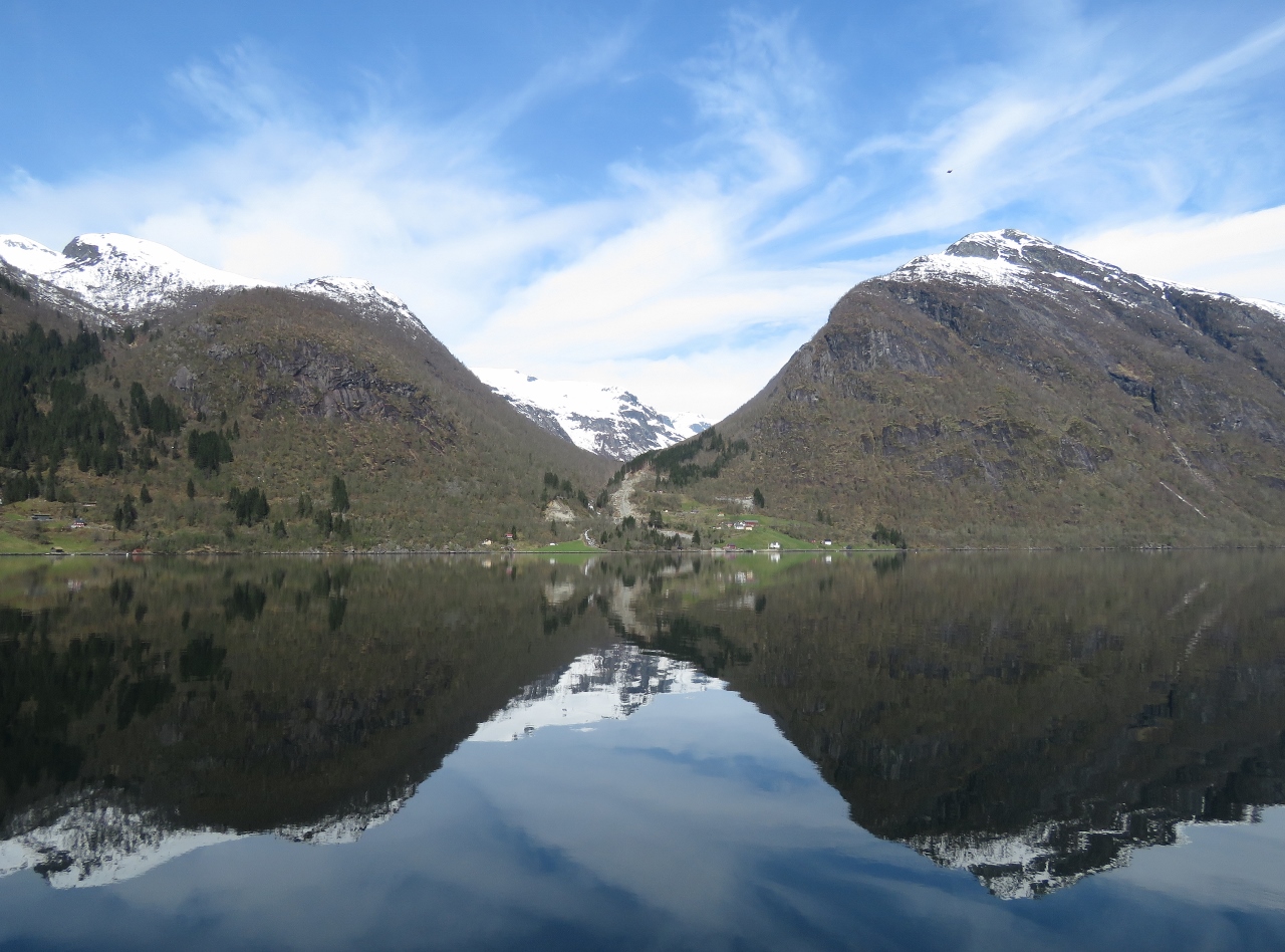
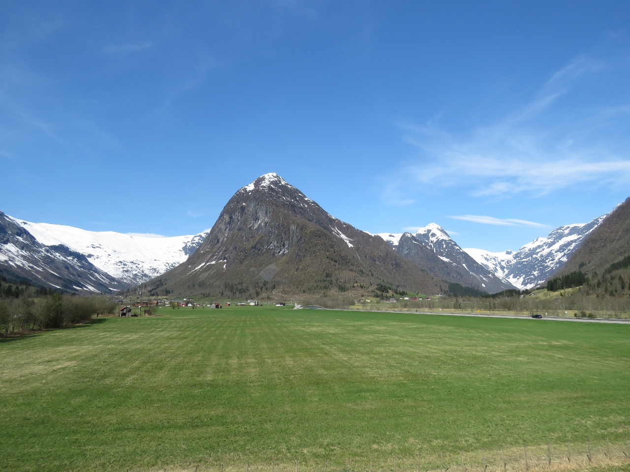
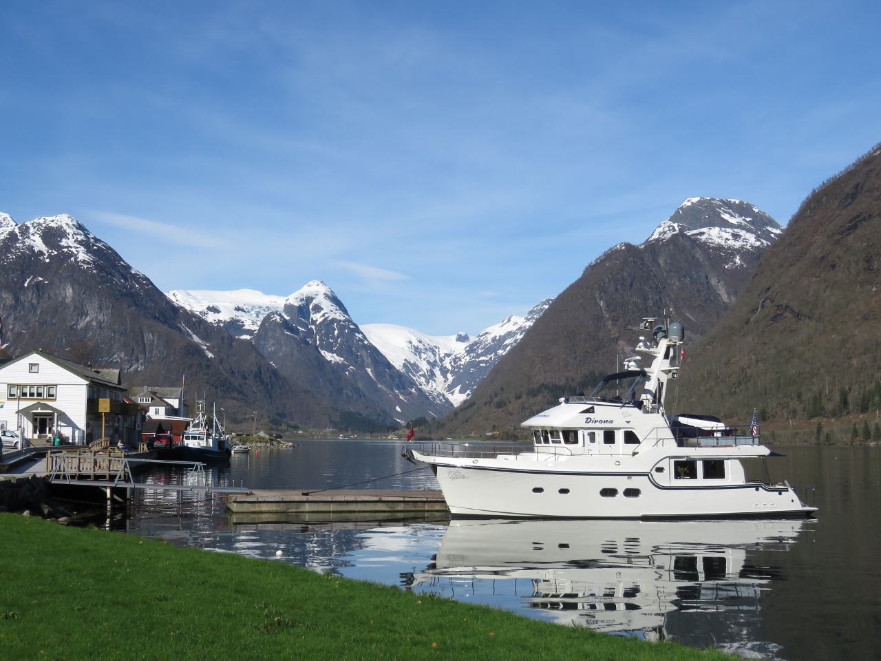
Fjærland
Position: 6 44.62, 61 24.05
The village of Fjærland at the head of Fjærlandsfjord.
|
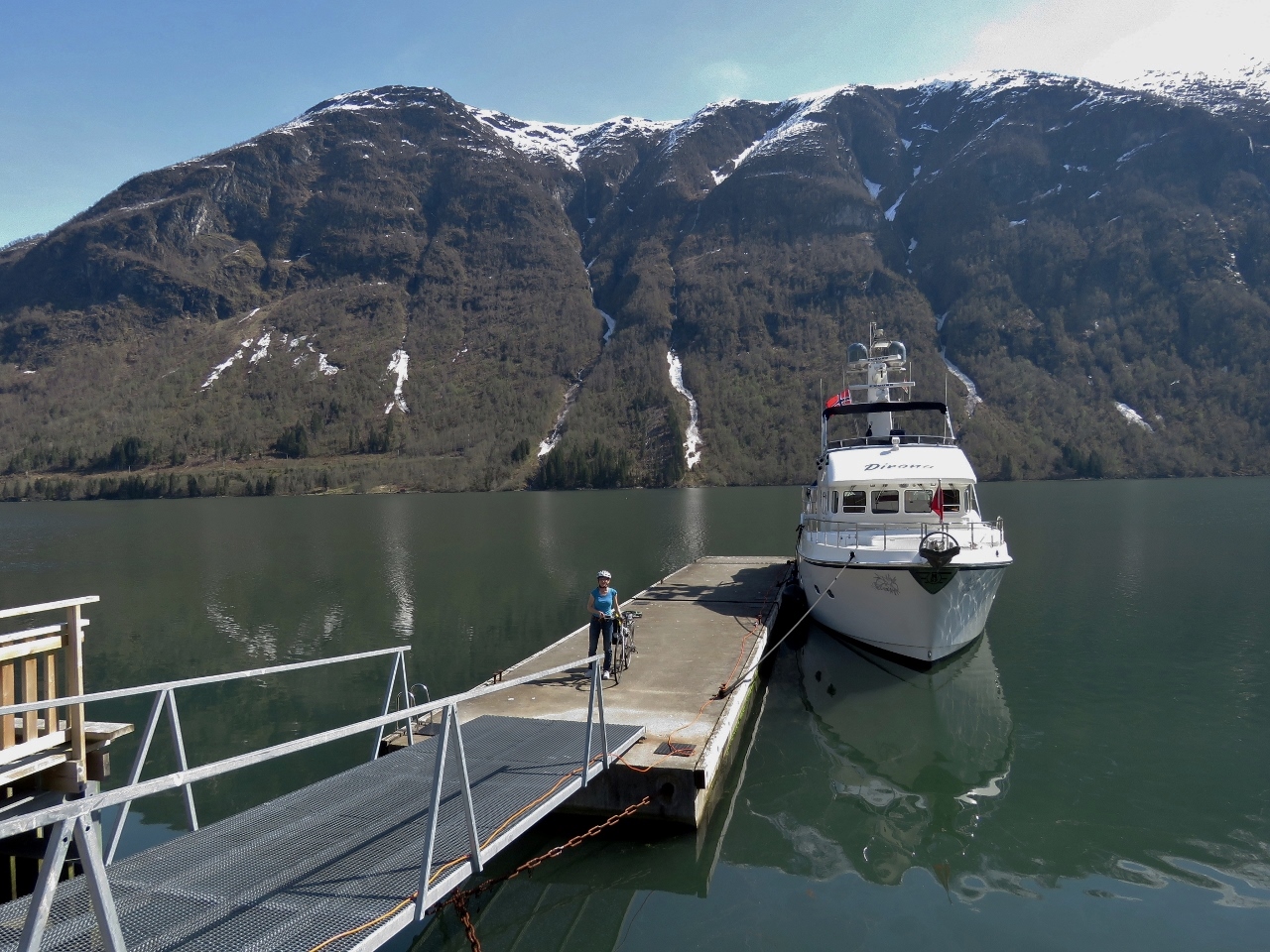 |
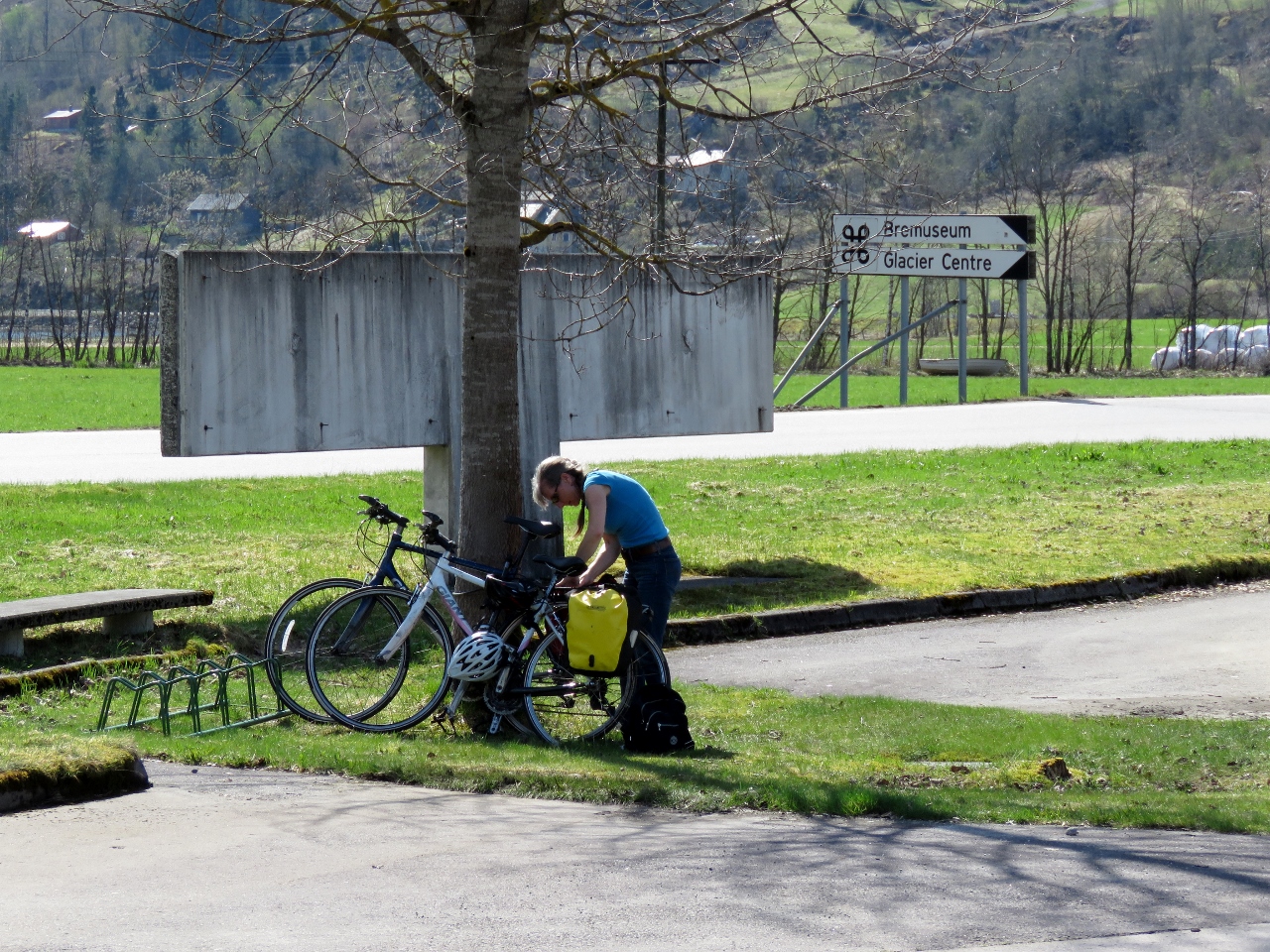
Bikes
Position: 6 44.44, 61 24.27
Once tied off at the Fjærland quay, we immediately got the bikes down to ride up to Supphellebreen glacier.
|
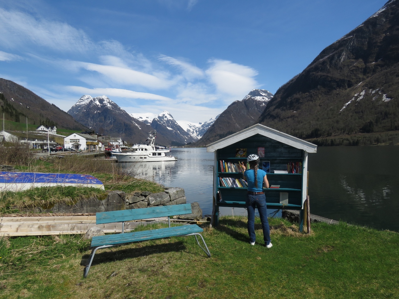 |
Book Town
Position: 6 44.45, 61 24.24
Fjærland is an International Book Town with ten second-hand bookstores in various buildings throughout town. Here Jennifer is browsing the selection at one near our dock.
|
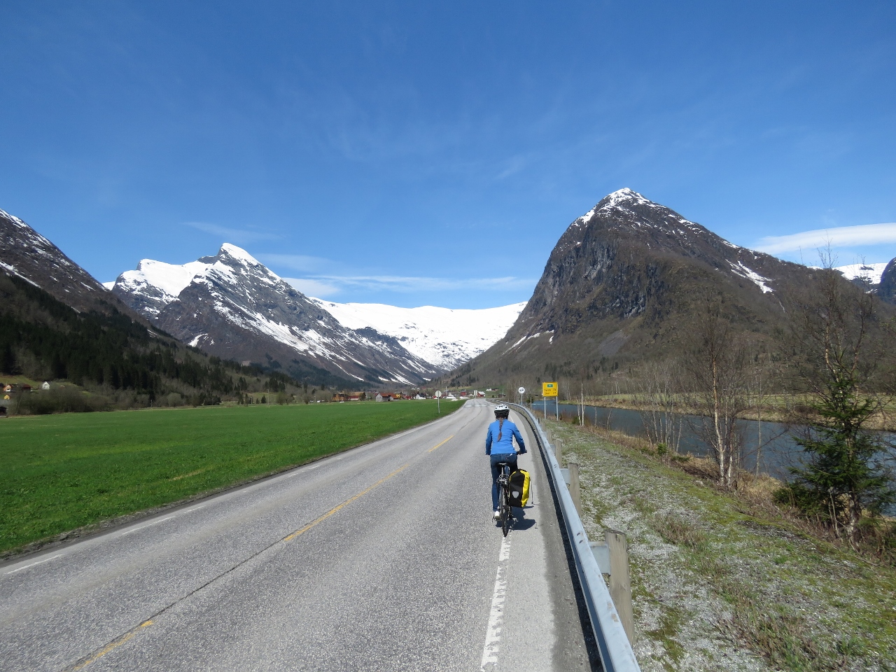 |
On the Road
Position: 6 45.90, 61 25.42
Biking along Riksvei 5 (national road 5) en route to Supphellebreen glacier.
|
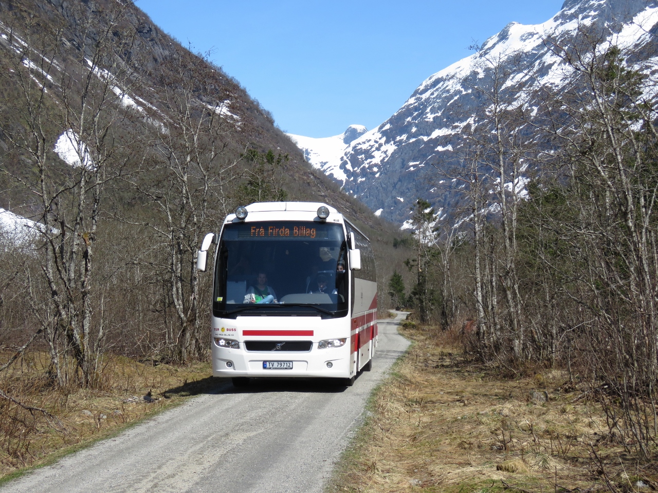 |
Tour Bus
Position: 6 48.94, 61 27.58
Supphellebreen glacier and nearby Bøyabreen glacier are popular tourist draws. A tour bus was departing as we approached.
|
 |
At the Glacier
Position: 6 49.26, 61 27.83
At the base of Supphellebreen glacier. The glacier itself is at the top of the cliff and the big pile of snow below is from ice that has calved off. The yellow signs warn of falling rock and ice.
|
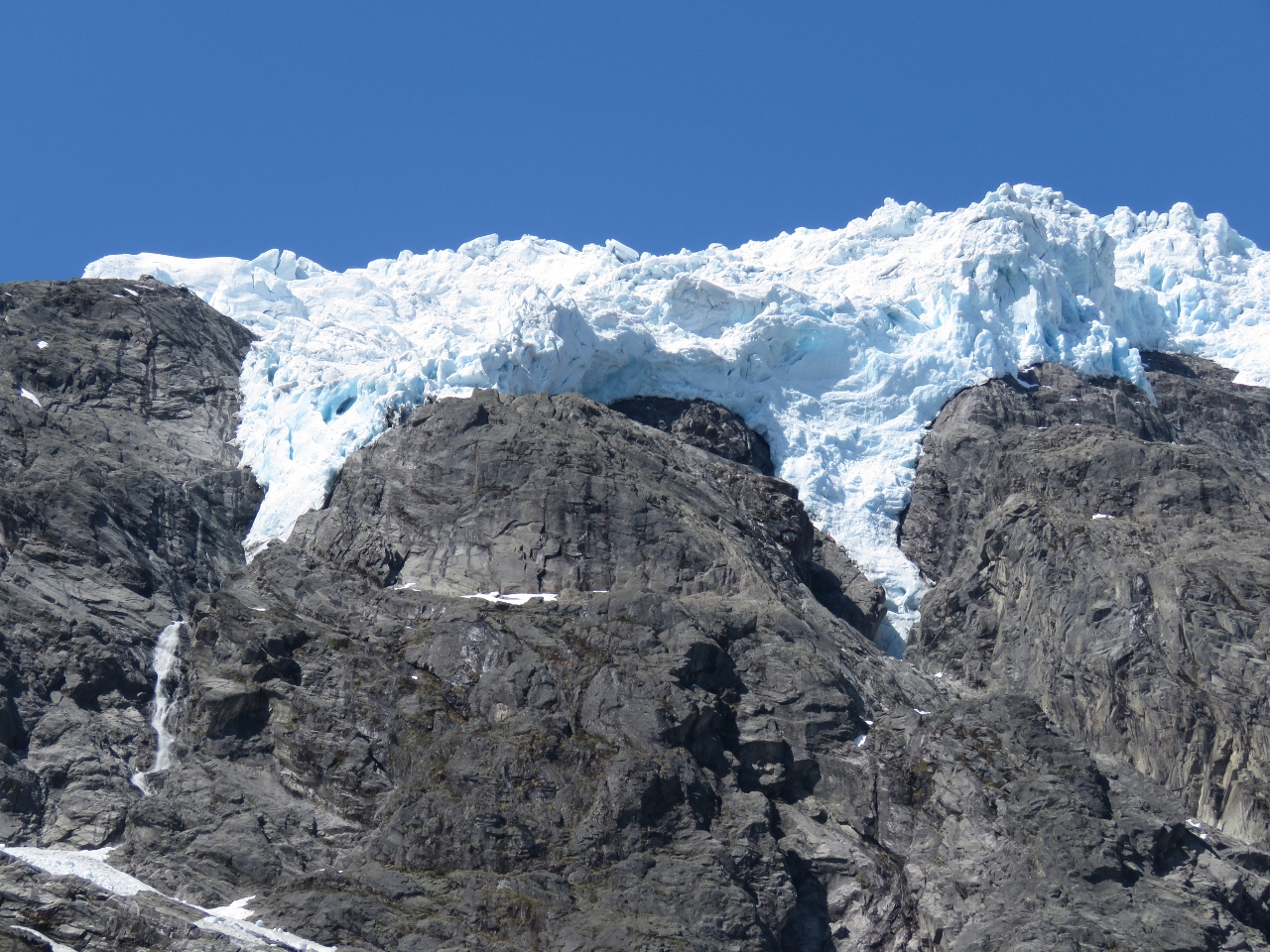 |
Supphellebreen glacier
Position: 6 49.41, 61 28.00
Close-up to the edge of Supphellebreen glacier.
|
 |
Below Glacier
Position: 6 49.24, 61 27.92
Jennifer perched on a rock outcropping under Supphellebreen glacier.
|
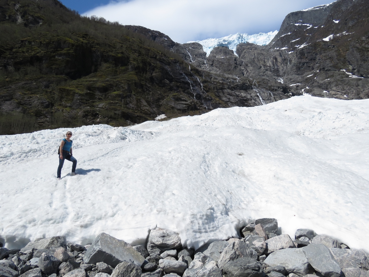 |
Snow
Position: 6 49.27, 61 27.93
With the river below to wide to cross, we had to hike across the snow a few time to get to the other side.
|
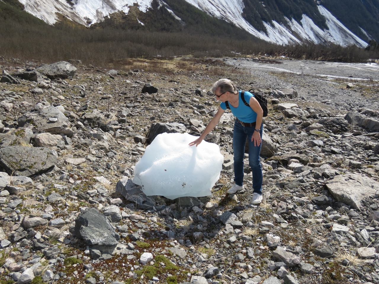 |
Glacial Ice
Position: 6 49.37, 61 27.96
A big chunk of glacial ice from Supphellebreen glacier.
|
 |
Lunch
Position: 6 49.37, 61 27.99
Lunch on the east side of Supphellebreen glacier. It was so warm we were just in T-shirts.
|
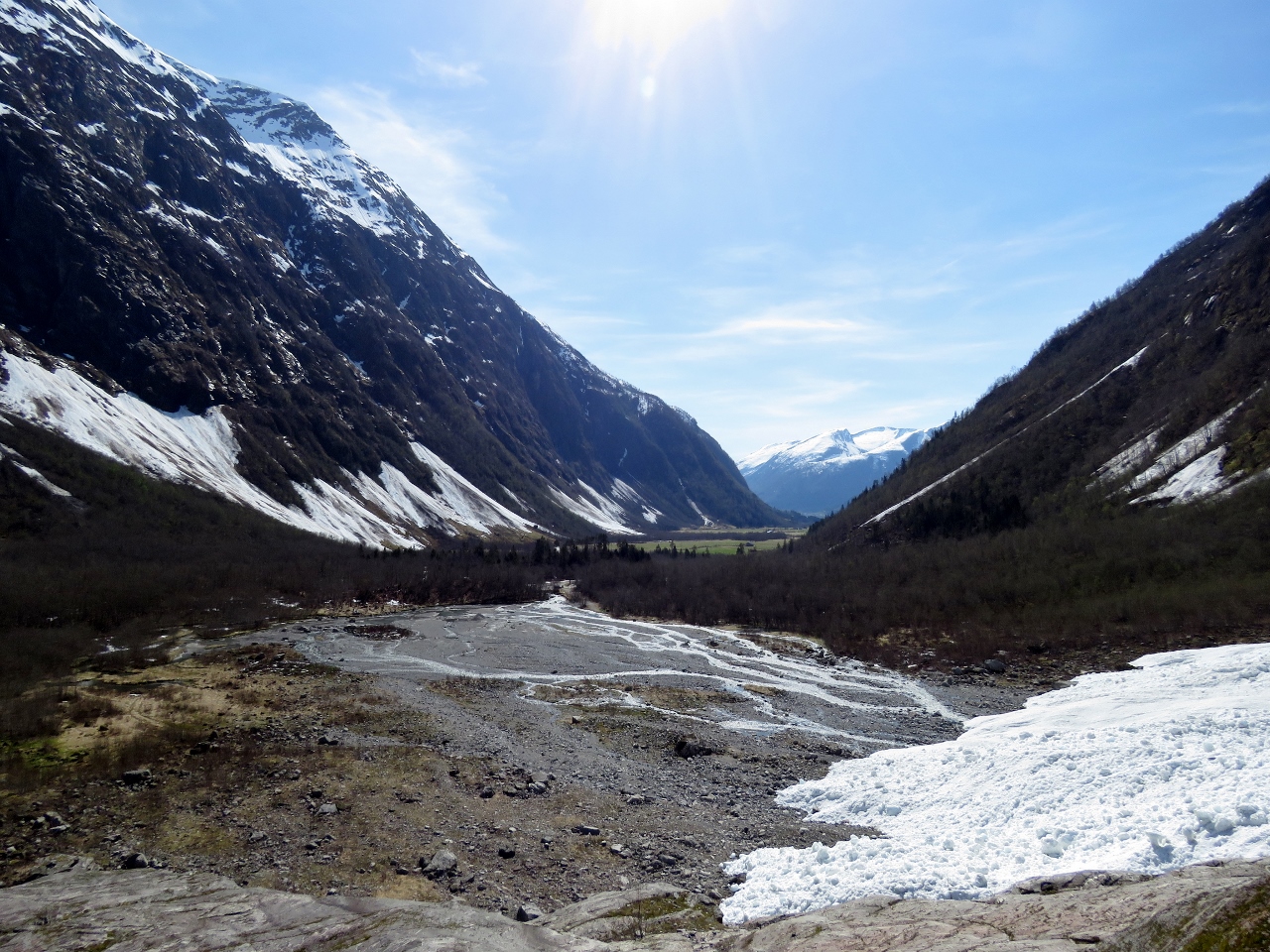 |
Valley
Position: 6 49.41, 61 28.00
Looking back across the valley we’d biked up to reach Supphellebreen glacier.
|
 |
Glacier Museum
Position: 6 45.72, 61 25.39
After visiting Supphellebreen glacier we returned back to Fjærland to visit the Norwegian Glacier Museum.
|
 |
Rooftop View
Position: 6 45.77, 61 25.41
The Glacier Museum has a rooftop deck with excellent mountain views.
|
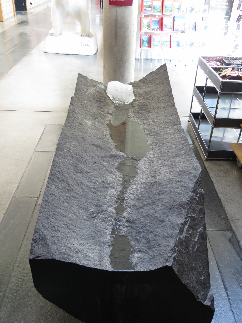 |
Melting Glacial Ice
Position: 6 45.77, 61 25.40
1000-year old glacial ice at the entrance to the Glacier Museum.
|
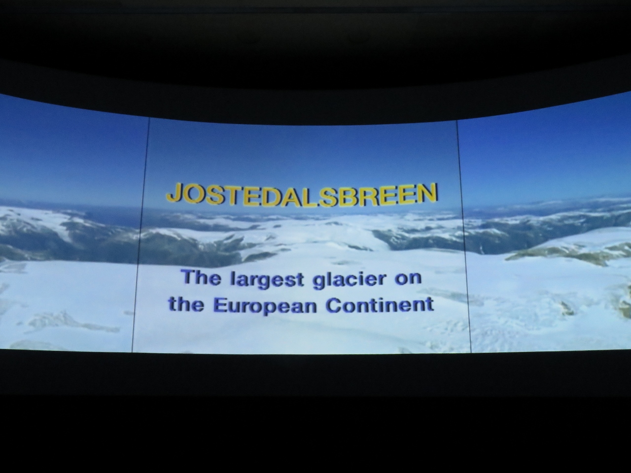 |
Jostedalsbreen
Position: 6 45.78, 61 25.40
Supphellebreen glacier that we visited is part of Jostedalsbreen, the largest icecap in mainland Europe. The Glacier Museum has an excellent movie describing Jostedalsbreen with impressive aerial videography.
|
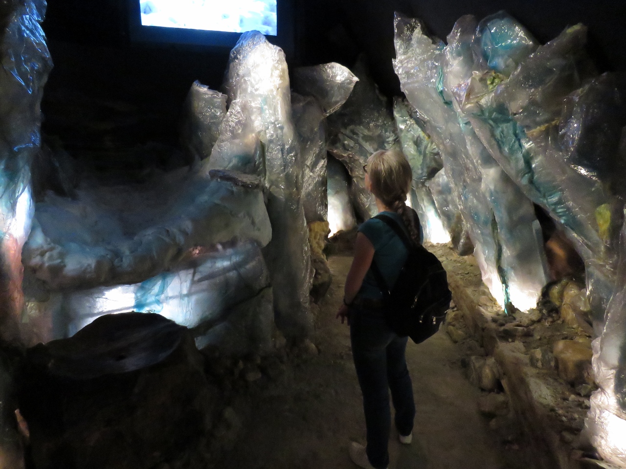 |
Climate Change
Position: 6 45.78, 61 25.40
Another impressive exhibit at the Glacier Museum covered climate change through time. The museum also had a number of other interesting displays. We really enjoyed our visit—this is one of the better museums we’ve seen in the last year or so.
|
 |
Fjærlandsfjord
Position: 6 44.44, 61 24.25
The view past the quay to the head of Fjærlandsfjord as we return back to Dirona.
|
 |
Boat Deck
Position: 6 44.48, 61 24.27
Drinks on the boat deck in the warm afternoon sun.
|

|
Click the travel log icon on the left to see these locations on a map, with the complete log of our cruise.
On the map page, clicking on a camera or text icon will display a picture and/or log entry for that location, and clicking on the smaller icons along the route will display latitude, longitude and other navigation data for that location. And a live map of our current route and most recent log entries always is available at mvdirona.com/maps. |
If your comment doesn't show up right away, send us email and we'll dredge it out of the spam filter.