The anchorage at Flodday Sound is below 475ft (145m) Beinn na h-Aire and 1,140ft (347m) Eaval, both accessible to climb. At high tide, the complex islet-strewn waterway can be explored beyond the causeway that connects Benbecula to North Uist. And fresh seafood is available from the nearby fishing community at Kallin Harbour to the south.
Trip highlights from September 1st, 2017 at Flodday Sound in Scotland’s Outer Hebrides follow. Click any image for a larger view, or click the position to view the location on a map. And a live map of our current route and most recent log entries always is available at http://mvdirona.com/maps
 |
Dawn
Position: -7 15.00, 57 19.41
A gorgeous pink sky at sunrise in Loch Skipport.
|
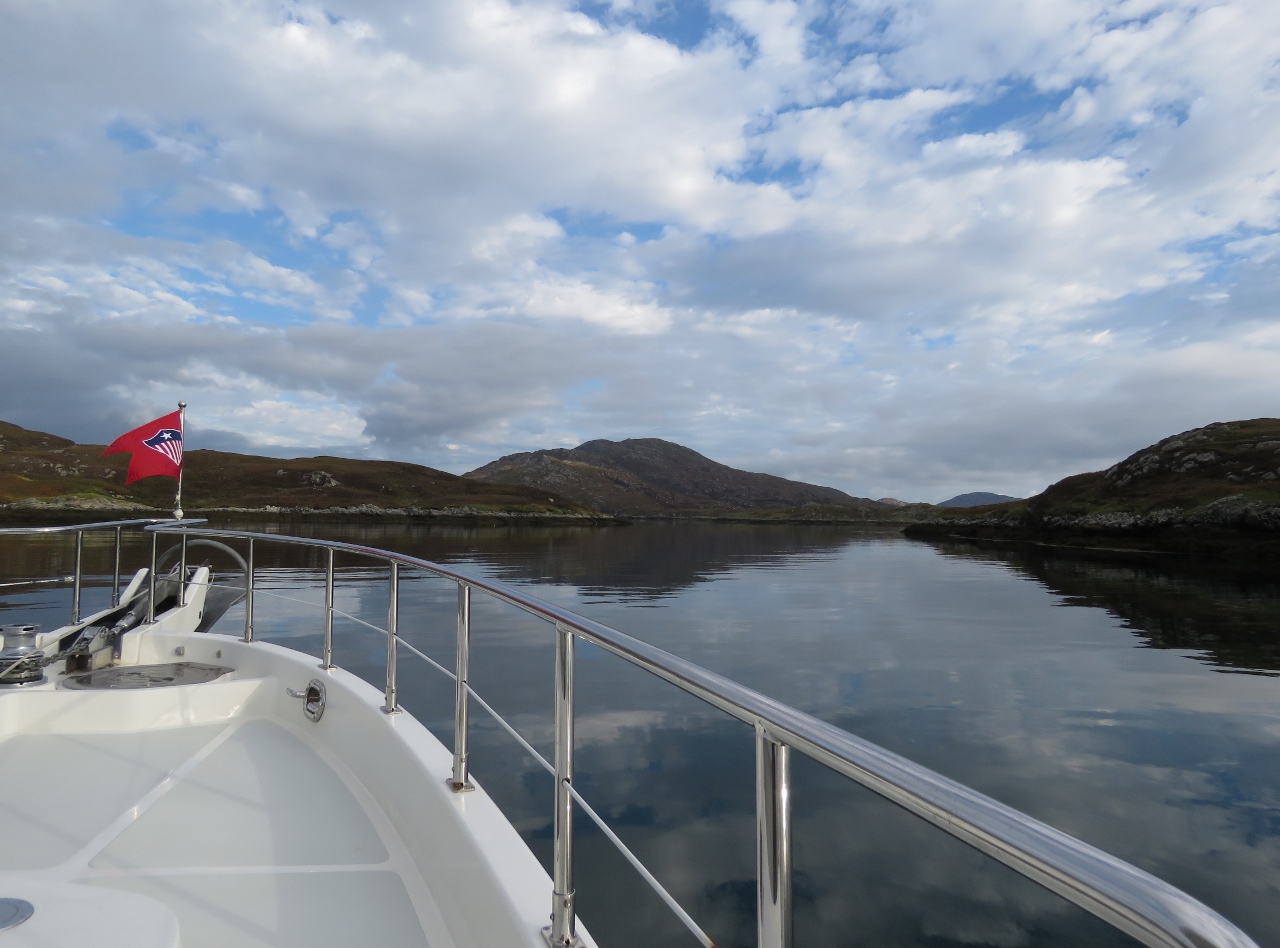 |
Entering Flodday Sound
Position: -7 9.84, 57 29.87
Entering Flodday Sound with Eaval at 1,140ft (347m) in the distance.
|
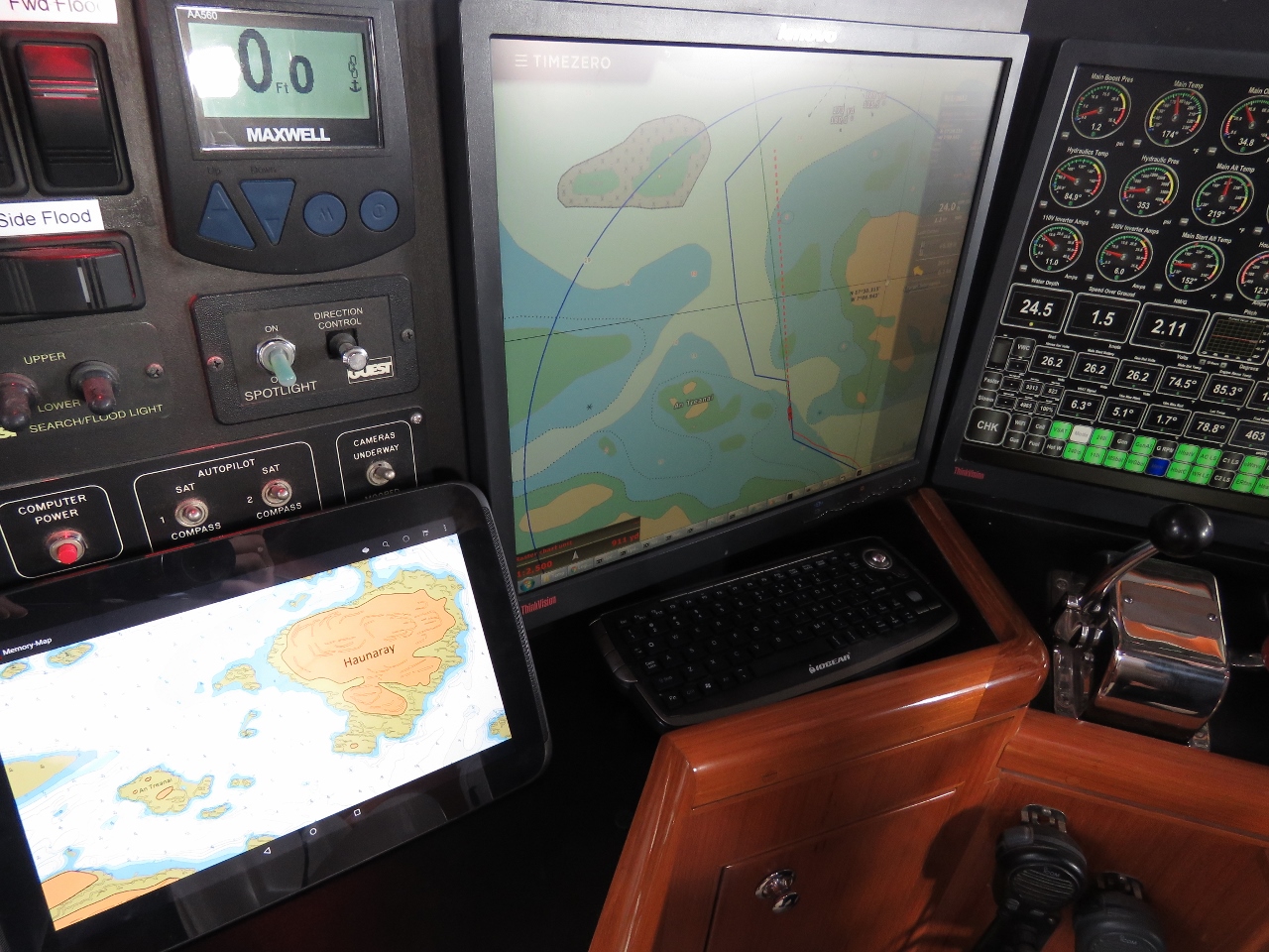 |
Antares Charts
Position: -7 10.12, 57 30.22
The entrance to Flodday Sound is a little tricky, with several hidden hazards and is another anchorage where we’ve found the Antares Charts helpful.
|
|
|
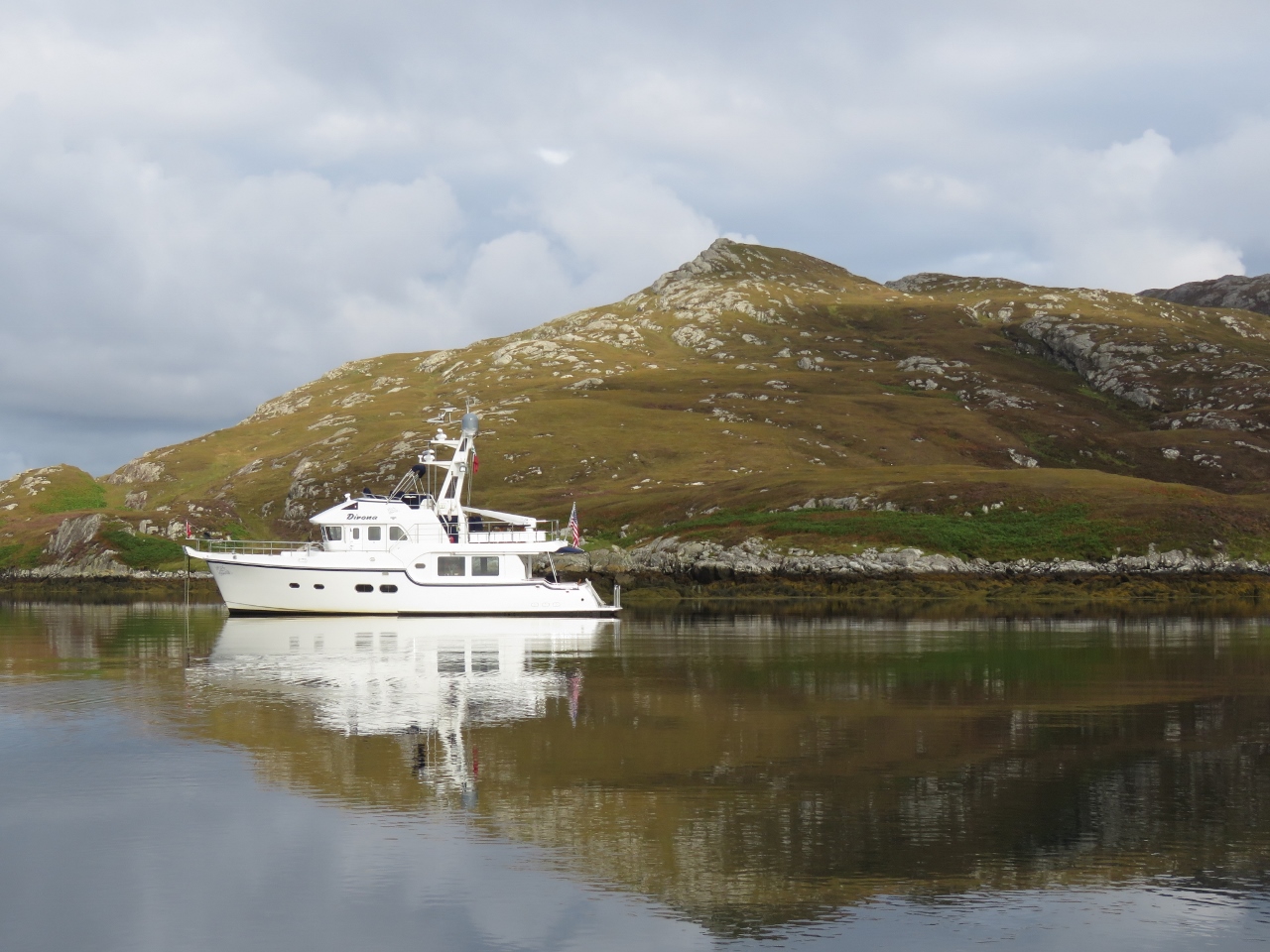
Poll nan Gall
Position: -7 10.06, 57 30.49
At anchor in Poll nan Gall in Flodday Sound below 475ft (145m) Beinn na h-Aire.
|
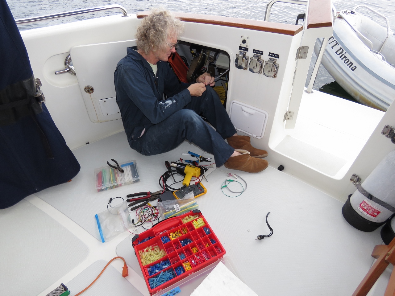 |
Glendinning
Position: -7 10.05, 57 30.48
While at Loch Swilly, our Glendinning power cord retractor spontaneously started to reel in the cord and actually pulled the boat afterward up toward the dock, only releasing when the circuit breaker tripped (read more). Today we replaced the intermittently-closed switch with one we brought back from Seattle.
|
 |
Beinn na h-Aire
Position: -7 10.55, 57 30.73
The view west toward the Sea of Hebrides across the southern tip of North Uist from partway up Beinn na h-Aire.
|
 |
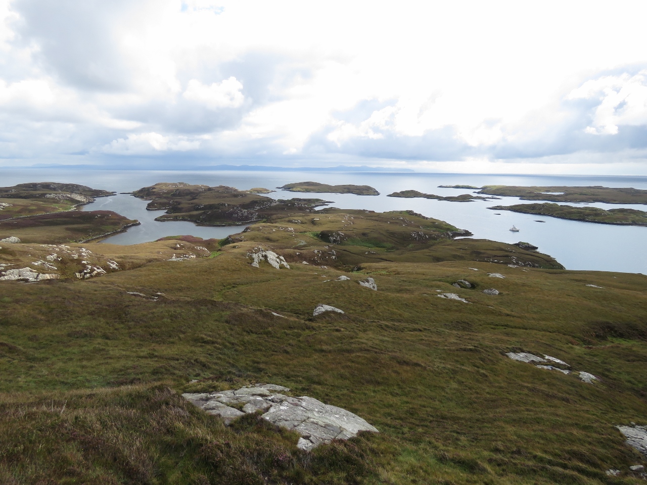
Flodday Sound
Position: -7 10.69, 57 30.80
Flodday Sound viewed from the top of 475ft (145m) Beinn na h-Aire. Dirona is visible slightly left of center and Bagh Moraig, a saltwater inlet that we later explored in the tender, is the next waterway to the left.
|
 |
Eaval
Position: -7 10.69, 57 30.80
Looking northwest to 1,140ft (347m) Eaval from Beinn na h-Aire.
|
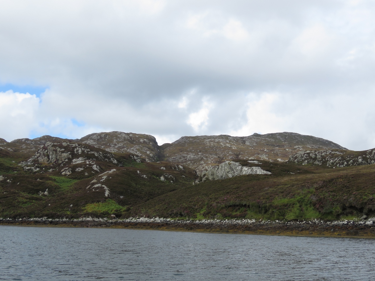 |
Bagh Moraig
Position: -7 9.98, 57 30.75
Beinn na h-Aire (left) and Eaval, viewed from the head of Bagh Moraig, a saltwater inlet northwest of the anchorage.
|
 |
Dirona
Position: -7 9.98, 57 30.45
The sun had come out while we were hiking, making for a great shot of Dirona beneath Beinn na h-Aire.
|
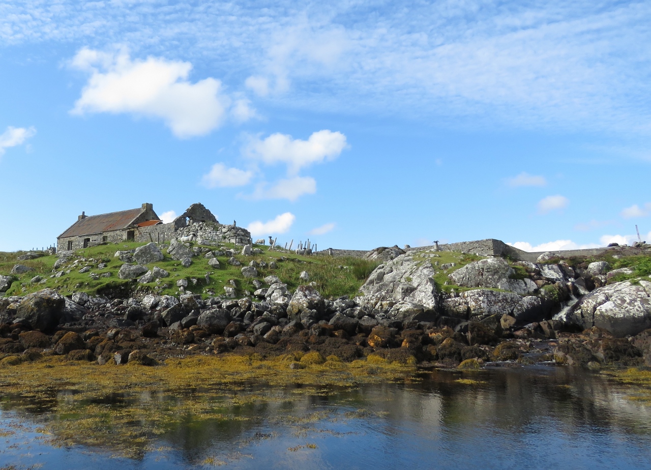 |
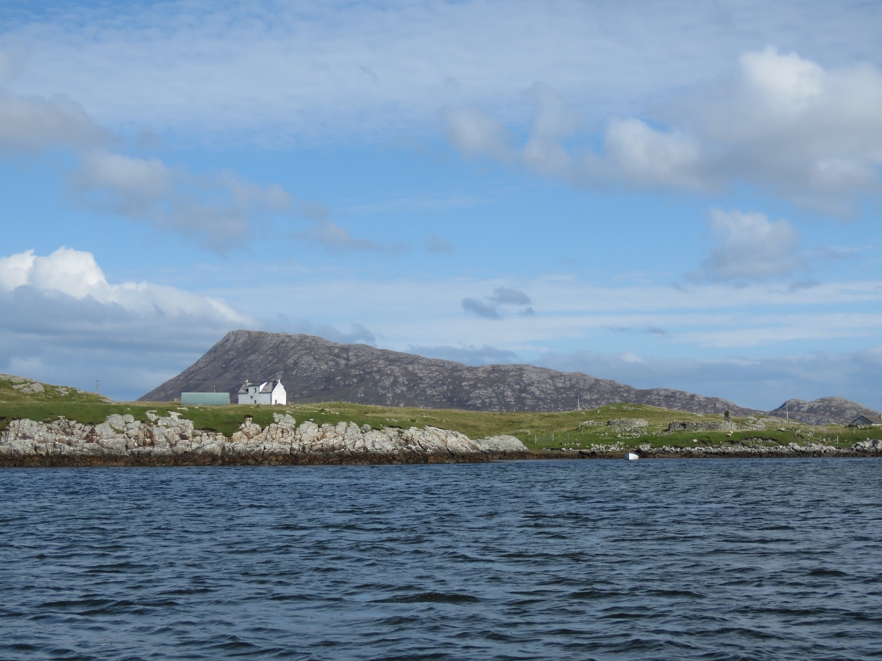
Eabhal
Position: -7 11.96, 57 30.87
A waterfall and a building with several generations of construction at Eabhal west of our anchorage in Flodday Sound. The area is full of complex drying waterways dotted with islets—ideal small boat territory. We took advantage of the high tide to explore as far as we could.
|
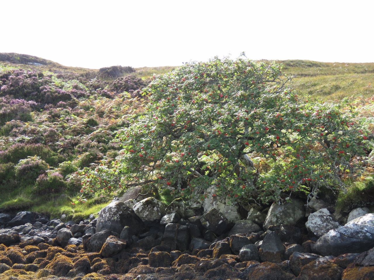 |
Tree
Position: -7 12.53, 57 30.82
As we passed this tree, we realized we’d not actually seen a tree since arriving in the Outer Hebrides. It’s pretty windswept out here.
|
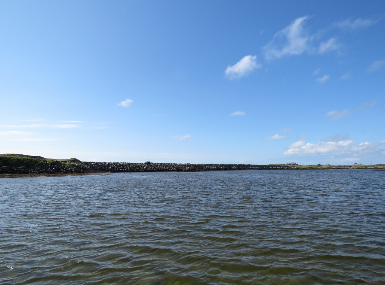 |
Causeway
Position: -7 15.95, 57 30.63
With a high tide, we were able to run all the way to the causeway that connects North and South Uist via Grimsay and Rueval islands. We barely had three feet of water though.
|
 |
Eaval from Southwest
Position: -7 15.69, 57 30.50
Looking east across the southern tip of North Uist from the causeway to 1,140ft (347m) Eaval. 475ft (145m) Beinn na h-Aire, that we climbed earlier, is at the right edge of the picture.
|
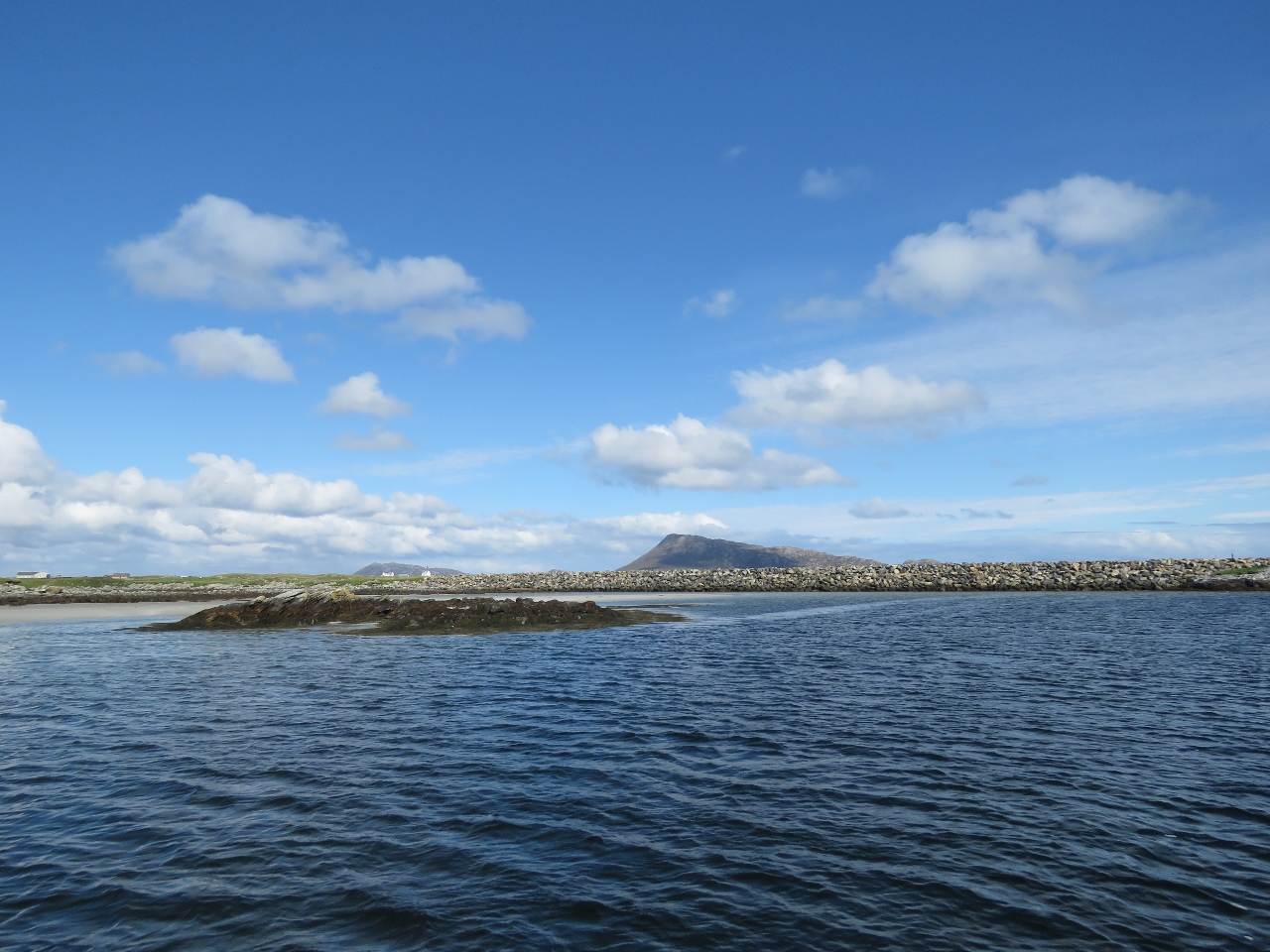 |
Oitir Mhor
Position: -7 15.95, 57 30.19
The view to to Eaval from Oitir Mhor (North Ford), west of the causeway, whose sandy straits extend out to the Atlantic Ocean.
|
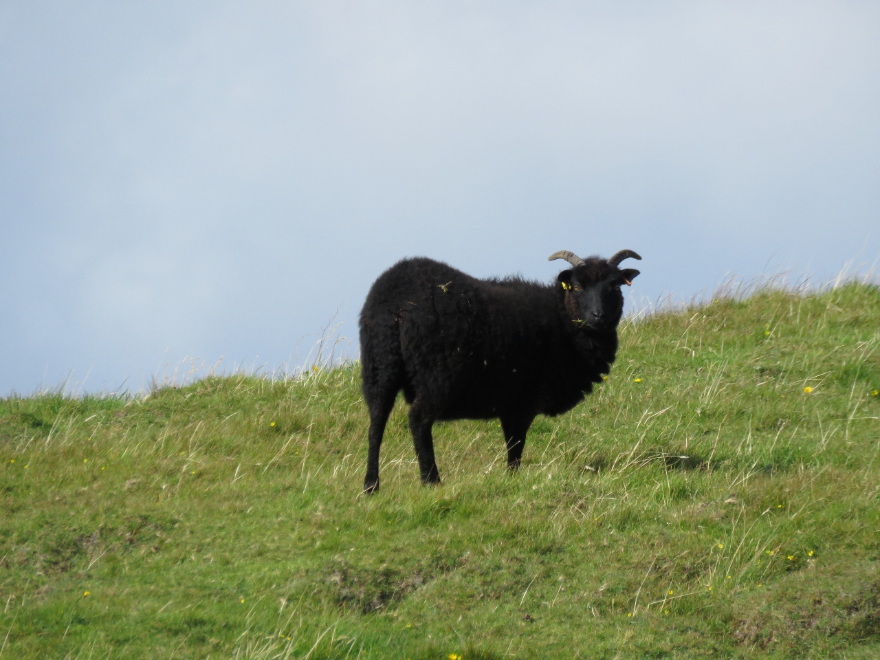 |
Black Sheep
Position: -7 14.01, 57 30.44
We spotted the black sheep of the family.
|
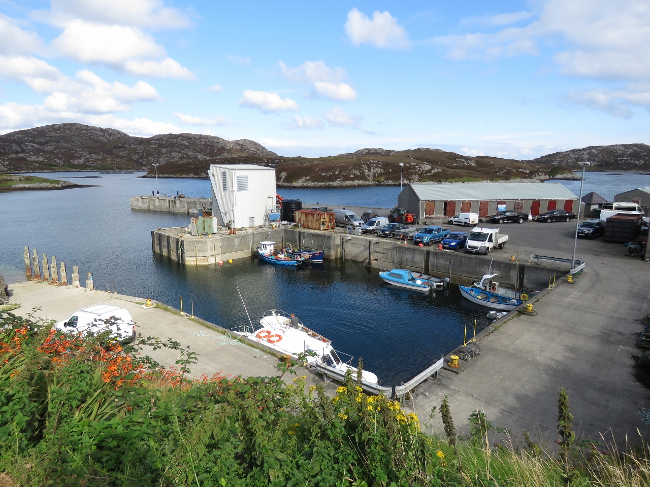 |
Kallin Harbour
Position: -7 12.34, 57 28.87
Before returning to Dirona, we ran south to explore and arrived at the small community in Kallin Harbour.
|
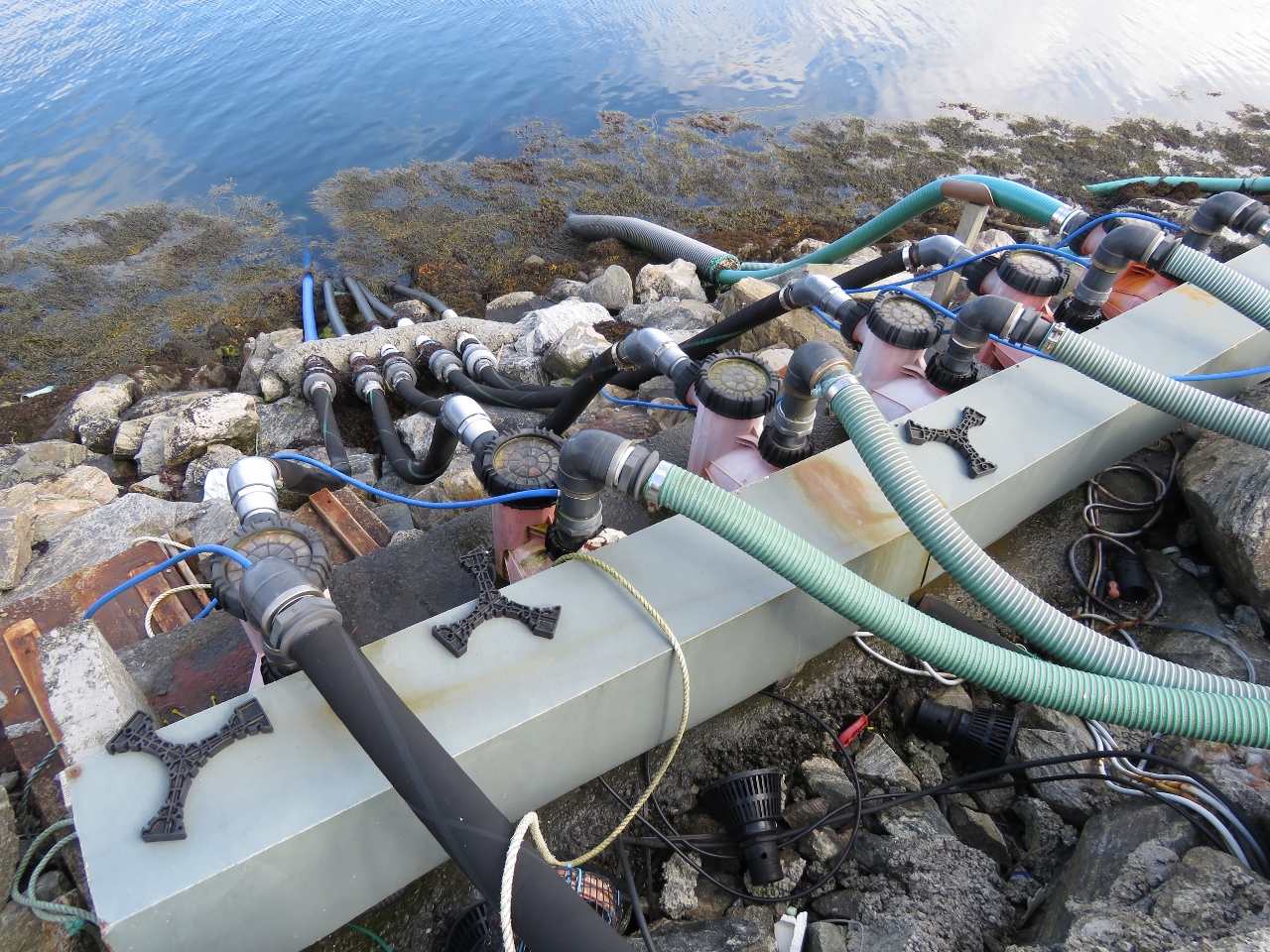 |
Pipes
Position: -7 12.25, 57 28.85
Lobster fishing is the main industry here, along with other shellfish. Ashore are several buildings to keep the live catch, since demand goes up and down and the catch is far more valuable near the holiday season. An extensive piping system circulates saltwater.
|

|
Click the travel log icon on the left to see these locations on a map, with the complete log of our cruise.
On the map page, clicking on a camera or text icon will display a picture and/or log entry for that location, and clicking on the smaller icons along the route will display latitude, longitude and other navigation data for that location. And a live map of our current route and most recent log entries always is available at http://mvdirona.com/maps. |
If your comment doesn't show up right away, send us email and we'll dredge it out of the spam filter.