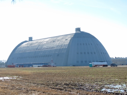
TCOM manufacturing has a major airship manufacturing facility in North Carolina up the Pasquotank River, with a 1,000ft-long hangar that can accomodate airships up to 150ft tall. We were lucky to arrive in the area during a test flight of a smaller model, and got a glimpse of a much larger ship when the massive hangar doors opened.
Trip highlights from Dec 21st and 22nd in the Pasquotank and Little Rivers off Albermarle Sound follow. Click any image for a larger view, or click the position to view the location on a map. And a live map of our current route and most recent log entries always is available at http://mvdirona.com/maps
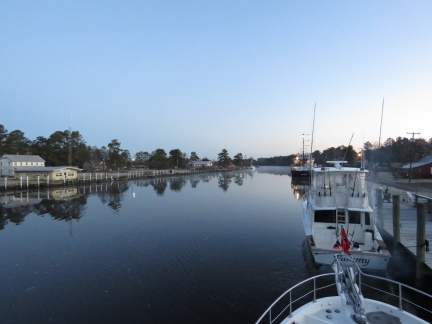 |
Morning Calm
Position: -75 56.92, 36 20.94
Calm conditions looking north through the North Carolina Cut at Coinjock, NC.
|
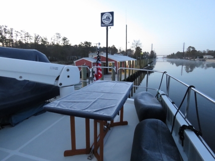 |
Frost
Position: -75 56.92, 36 20.94
We’re heading south, but still aren’t below the frost line. Most of the boat and the docks were covered with slippery frost this morning. We intended to cruise in higher latitudes, so had extra insulation added to the interior ceilings when Dirona was built. This seems to be working–a half-inch layer of ice had formed in the corner of the boat deck floor above the salon.
|
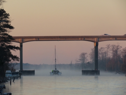 |
Coinjock Bridge
Position: -75 56.92, 36 20.94
A catamaran heading south under 65ft Coinjock Bridge into sea smoke.
|
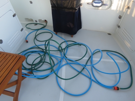 |
Water
Position: -75 57.64, 36 19.87
The dockside water had been shut off for the winter, but we were able to get freshwater by running a hose to the restaurant building. We still had 300 gallons, so didn’t need any water, but took the opportunity to do all our laundry and top off the tank.
|
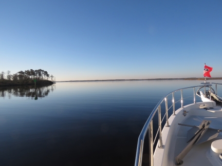 |
Cruising
Position: -75 58.24, 36 19.06
Exiting the North Carolina Cut into North River on a wonderfully clear and calm morning.
|
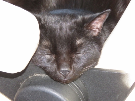 |
Sleeping
Position: -75 54.57, 36 8.67
Spitfire loves the helm chair, but rarely pays attention to the course.
|
 |
8500 Hours
Position: -76 0.74, 36 10.39
Our John Deere 6068AFM75 just crossed 8,500 hours.
|
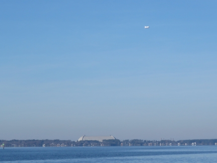 |
TCOM
Position: -76 3.58, 36 12.06
As we ran up the Pasquotank River, we could see a blimp flying above the enormous hangar at the TCOM manufacturing facility. We’d already called to see if we could arrange a tour, but they were shutting down for the season tomorrow after a customer visit today.
|
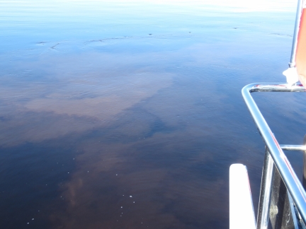 |
Mud
Position: -76 7.09, 36 14.41
We plan to spend Christmas in Albermarle Sound this year. When we lived full-time in Seattle, we did a “Christmas Cruise” every year, sometimes as far north as the Broughtons in British Columbia. We always look for a nice anchorage for Christmas no matter where we are, but this is our first cold-weather Christmas Cruise since leaving Seattle. And last year we weren’t even at anchor for Christmas, we were on passage from Cape Town to St. Helena.
Today we were planning to continue up the Pasquotank River to anchor Elizabeth City, but with such calm conditions decided to anchor off the TCOM facility instead. Here we’re anchoring in just under 10ft and our big slow-moving prop is churning up the mud bottom. |
 |
Blimp
Position: -76 7.08, 36 14.39
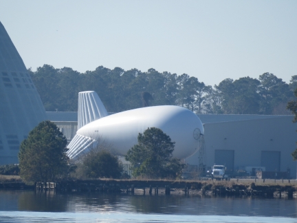
By the time we’d anchored the blimp had landed.
|
 |
Hangar
Position: -76 7.07, 36 14.39
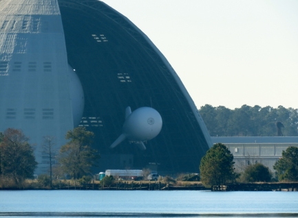
Shortly after the blimp landed, the enormous hangar doors opened and the aircraft was transferred inside. The nose of a much larger blimp is just visible on the left inside the hangar.
|
 |
CG Plane
Position: -76 7.07, 36 14.39
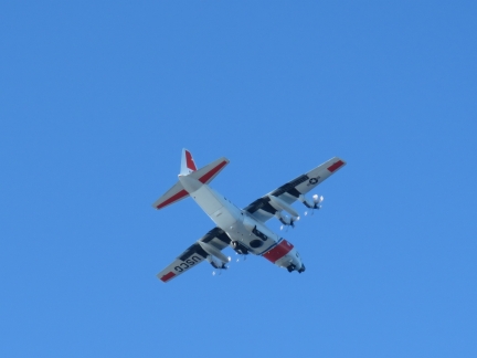
Our anchorage appeared to be on the flight path for the US Coast Guard Elizabeth City base. Several Coast Guard craft flew over and landed not far away.
|
 |
Fuel Gauge
Position: -76 7.07, 36 14.39
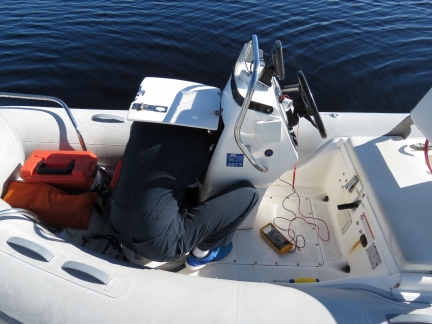
Our new dinghy fuel gauge stopped working after only a couple of months. That didn’t last very well. Fortunately it was just a connection problem, so James quickly had it back working again.
|
 |
Freeze Damage
Position: -76 7.09, 36 14.39
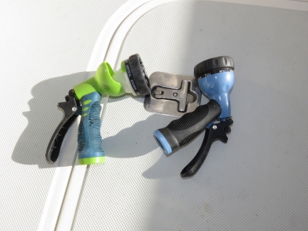
A couple of our spray guns had frozen and cracked in the recent cold weather. We’ll have to be more careful about keeping them drained until we’re in a warmer climate. Fortunately that seems to be the extent of the damage.
|
 |
Strainers
Position: -76 7.09, 36 14.40
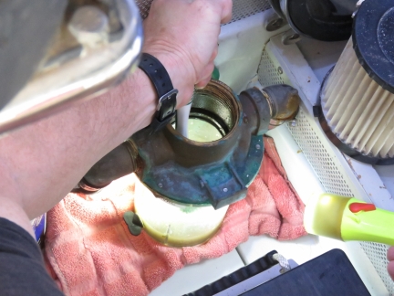
The sea strainers were showing signs of growth, so James scrubbed them out today with a long-handled brush.
|
 |
Anchorage
Position: -76 7.08, 36 14.38
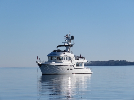
The temperature is in the mid-50s, the sun is shining and the winds are calm. A perfect winter cruising day.
|
 |
Dock
Position: -76 7.77, 36 14.20
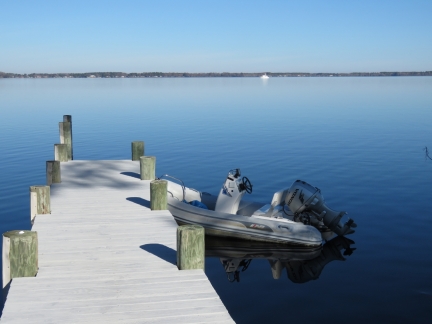
We landed the tender at an unmarked dock near the TCOM facility to walk ashore for a closer look.
|
 |
Hangar Close Up
Position: -76 7.83, 36 13.98
A close-up view to the enormous TCOM hangar building. It is 300,000 square feet and can accommodate vehicles up to 150 feet in height.
|
 |
Tower
Position: -76 7.77, 36 13.96
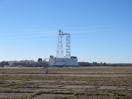
We’re guessing this tower near the TCOM hangar is used to tether the blimps.
|
 |
Sunset
Position: -76 7.09, 36 14.40
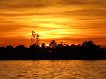
We bundled up and had drinks on the back deck during a fabulous sunset over the TCOM facility.
|
 |
Shallow
Position: -76 14.39, 36 9.84
We made a short trip west from the Pasquotank River to Little River. The waters in Albermarle Sound are so shallow that our 10ft depth warning light is constantly triggered.
|
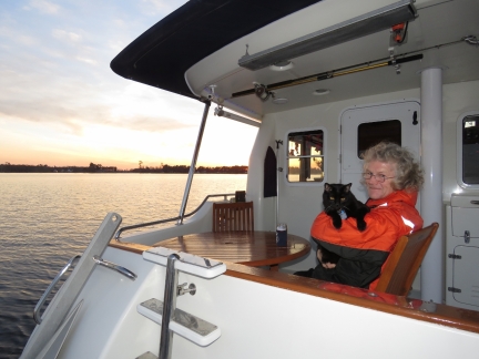 |
Bundled Up
Position: -76 15.17, 36 10.32
Bundled up on the back deck in our flotation suits to enjoy the sunset.
|
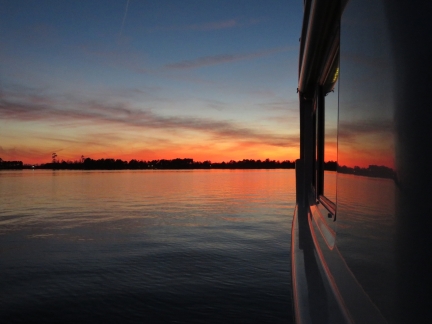 |
Sunset
Position: -76 15.17, 36 10.32
A beautiful sunset from the anchorage in Little River.
|

|
Click the travel log icon on the left to see these locations on a map, with the complete log of our cruise.
On the map page, clicking on a camera or text icon will display a picture and/or log entry for that location, and clicking on the smaller icons along the route will display latitude, longitude and other navigation data for that location. And a live map of our current route and most recent log entries always is available at http://mvdirona.com/maps. |

If your comment doesn't show up right away, send us email and we'll dredge it out of the spam filter.