South of Albermarle Sound, the ICW continues south through the Alligator River. The swing bridge there, at mile 84, is the last of four bridges that we needed to have opened on our run between Portsmouth, Virginia and Beaufort, NC. The bridge won’t open in high winds of 35kts or more, which can be a nasty surprise to those who have clawed their way across Albermarle Sound in rough conditions and have no protected anchorages nearby to wait out the weather.
We spent Christmas along the Alligator River, then continued south into the Pungo River to Bellhaven, NC at mile 135 then to Vandemere, NC at mile 161. Vandemere would be our final stop before reaching Beaufort, NC at mile 203. The shoreline became progressively more built-up as we travelled, with more boat traffic as well.
A video of our Boxing Day transit through the Alligator River-Pungo River Canal is at youtu.be/BjiB_r6rl7o and trip highlights from Dec. 24th-27th, 2016 follow. Click any image for a larger view, or click the position to view the location on a map. And a live map of our current route and most recent log entries always is available at http://mvdirona.com/maps
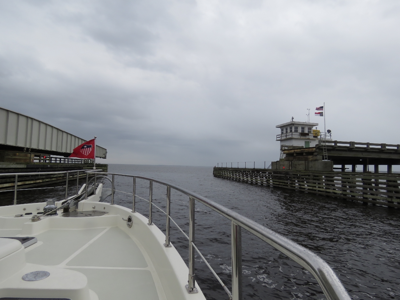 |
Bridge
Position: -76 0.46, 35 54.16
Heading through the Alligator River Swing Bridge.
|
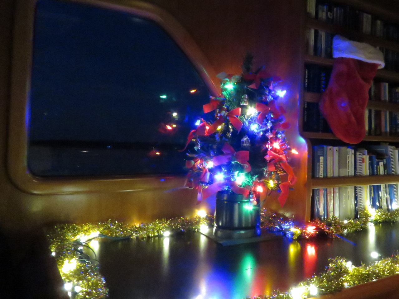 |
Happy Holidays
Position: -76 15.17, 36 10.32
Wishing you all Happy Holidays and best wishes for the New Year.
|
 |
Belhaven
Position: -76 37.32, 35 31.95
Anchored for the night off Belhaven shortly after passing through the Alligator River-Pungo River Canal. We had a calm and peaceful Boxing Day passage through the canal. En route we passed under two fixed bridges, the Fairfield and Wilkerson Bridges, both with 65ft of clearance, but didn’t see a single other boat en route. A video of our run is at https://youtu.be/BjiB_r6rl7o.
|
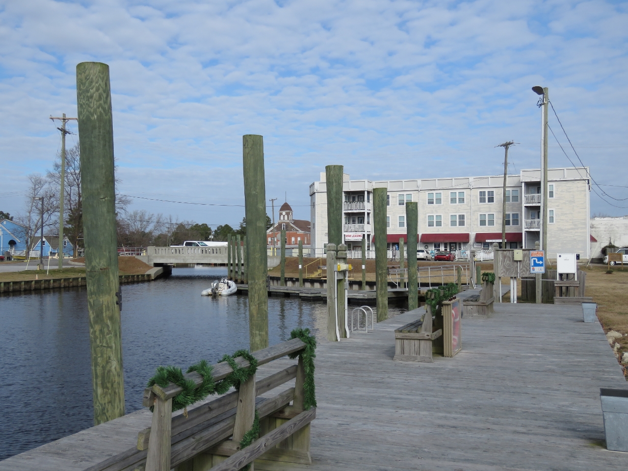 |
Dinghy Dock
Position: -76 37.35, 35 32.23
The tender tied off at the dinghy dock in downtown Belhaven.
|
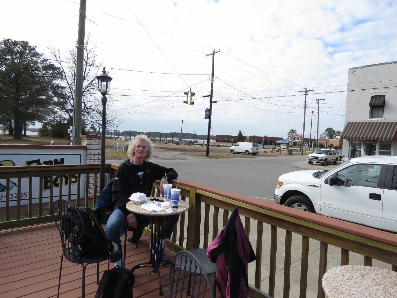 |
Farm Boys
Position: -76 37.29, 35 32.23
A delicious lunch at popular Farm Boys on the Belhaven waterfront. People were lined up to place orders the entire time we were there. The weather had warmed up enough we could sit outside.
|
 |
Fallen Tree
Position: -76 36.85, 35 32.11
During a walk around Belhaven we saw this big tree that had fallen on a house. That looks expensive to fix. And just getting the tree out of there will be challenge.
|
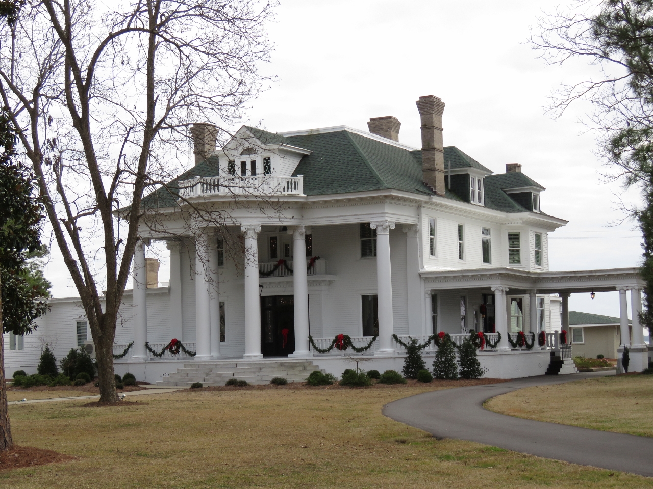 |
River Forest Manor
Position: -76 36.88, 35 32.02
River Forest Manor along the Belhaven waterfront was completed in 1904 after five years of construction for John Aaron Wilkinson who was president of L. Roper Lumber Company and vice president of the Norfolk and Southern Railroad. The property now operates as the River Forest Manor & Marina and can be rented for events.
|
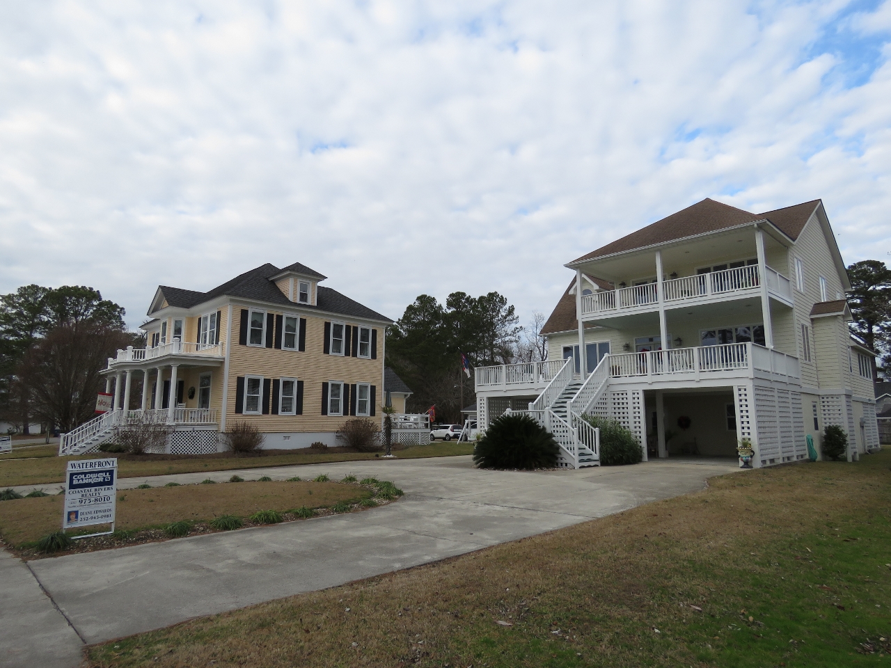 |
Waterfront Homes
Position: -76 37.07, 35 32.04
All the houses we saw in Belhaven were raised, presumably to deal with frequent flooding.
|
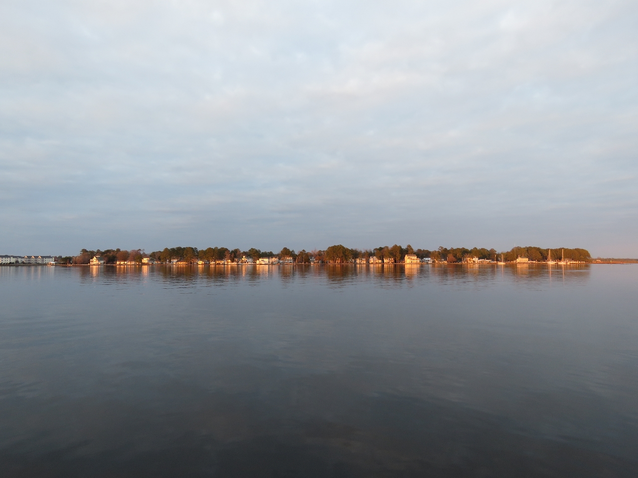 |
Sunset
Position: -76 37.19, 35 31.74
The evening sun reflecting on Belhaven, viewed from the anchorage.
|
|
|
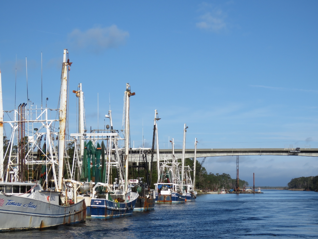
Fishing Vessels
Position: -76 35.39, 35 14.42
Fishing vessels moored off Hobucken. These are the first large fishing vessels we’ve seen moored along the ICW. Likely they are here because the nearby Ocracoke Inlet gives reasonably direct access to sea.
|
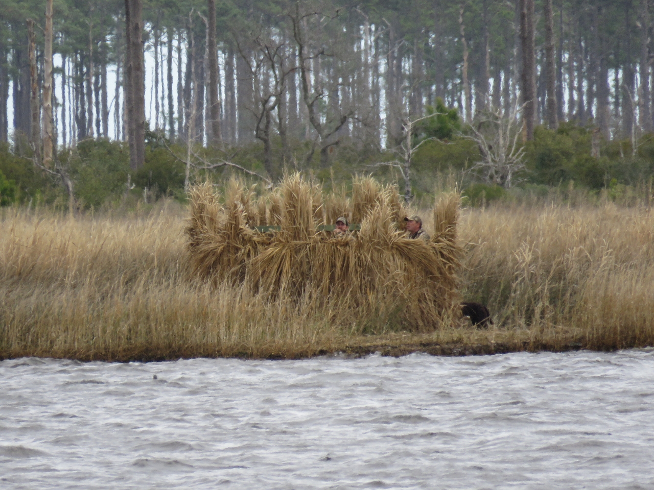 |
Duck Blind
Position: -76 35.41, 35 9.21
We initially were planning to anchor for the night in Bonne Bay, but received a radio call that active shooters were in the duck blind to our east. The hunters were upset on our choice of anchorage and told us we were in their “kill zone”.
|
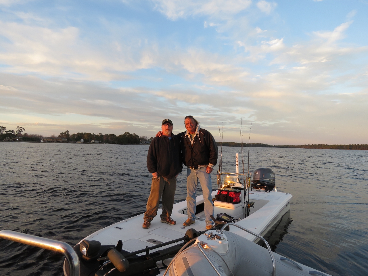 |
Locals
Position: -76 39.71, 35 10.59
We instead anchored off the town of Vandemere. That evening some friendly locals came by to say hello.
|

|
Click the travel log icon on the left to see these locations on a map, with the complete log of our cruise.
On the map page, clicking on a camera or text icon will display a picture and/or log entry for that location, and clicking on the smaller icons along the route will display latitude, longitude and other navigation data for that location. And a live map of our current route and most recent log entries always is available at http://mvdirona.com/maps. |
Definitely an interesting leg of your journey James. Might neighborly to get a call you are in a hunter’s kill zone. Looks like you and Jennifer will be enjoying warmer weather, and more boat traffic, now that you are further south.
We deffinitely don’t like getting shot at in an anchorage :-).
We will be arriving in St. Augustine today and expect to be down in Daytona in by the 4th.