
Crookhaven Harbour is among the nicest anchorages in southwestern Ireland. We spent three nights there and visited Brow Head, Mizen Head, and of course stopped at the famous O’Sullivans to enjoy “The most southerly pint in Ireland”.
The video below shows aerial footage of Dirona and the harbour, and trip highlights from June 17th through 18th, 2017 follow. Click any image for a larger view, or click the position to view the location on a map. And a live map of our current route and most recent log entries always is available at http://mvdirona.com/maps
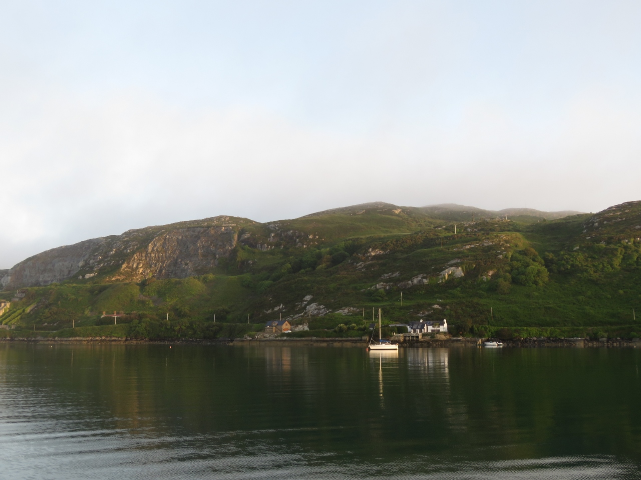 |
Morning Light
Position: -9 43.29, 51 28.34
We’d heard Crookhaven was a good anchorage but not how beautiful it was. We were reminded of Newfoundland, Canada or Stewart Island, New Zealand.
|
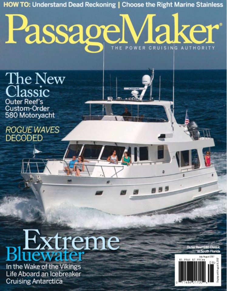 |
PassageMaker
Position: -9 43.30, 51 28.35
The July/August ssue of PassageMaker Magazine is now available, with the final article in our three-part series on cruising the world under power. The first article covered planning and various aspects of being underway; the second article describes how we made the logistic complexities fade into the background so we could enjoy the trip; and this final installment covers how we rigged Dirona for the trip.
The published articles are available online: |
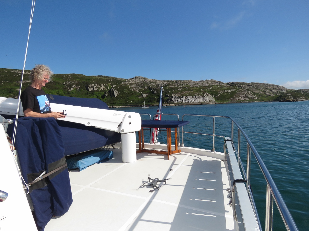 |
Drone
Position: -9 43.30, 51 28.35
This morning we made our first drone flight from a moving platform, with the boat slowly drifting at anchor. We shifted the boat deck table aft to make a larger landing area, but found it easier to take off from the table rather than the deck. The video Crookhaven, Ireland From The Air shows aerial footage of Dirona and the harbour.
|
 |
Ciaran and Jim O’Meara
Position: -9 43.30, 51 28.35
Friendly Crookhaven residents Ciaran and Jim O’Meara stopped by to say hello and give us some recommendations on local attractions.
|
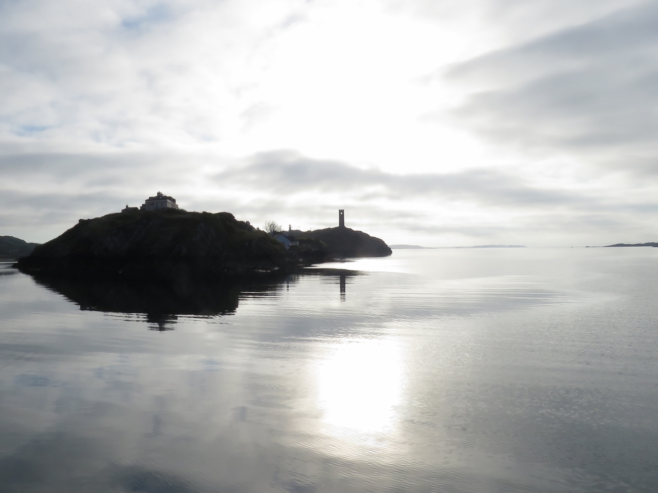 |
Morning Light
Position: -9 43.32, 51 28.34
One of the two watchtowers in Crookhaven Harbour back-lit in the morning sun.
|
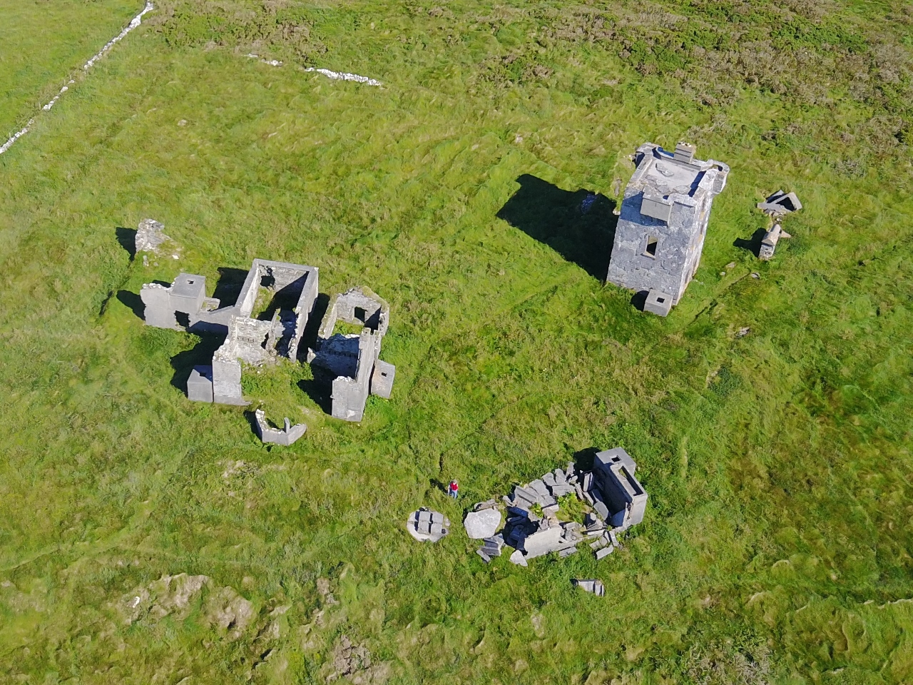 |
Brow Head
Position: -9 45.57, 51 27.25
During the Napoleonic-era, a signal tower was built at Brow Head near Crookhaven, Ireland. A century later, the Marconi Wireless Telegraph company installed telegraphic equipment there. And a century after that, Brow Head was one of the filming locations for Star Wars Episode VIII. This morning we ran the bikes ashore in the tender to bike up to Brow Head. Read more …
|
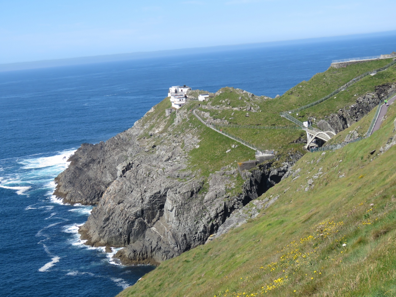 |
Mizen Head
Position: -9 48.69, 51 27.09
The Mizen Head Signal Station was built in 1909 to sound a fog signal warning ships away from the dangerous headland at the southwest tip of Ireland. From Brow Head, we continued our bike trip to the visitor center at Mizen Head and spent several hours walking the paths and enjoying the views. Read more …
|
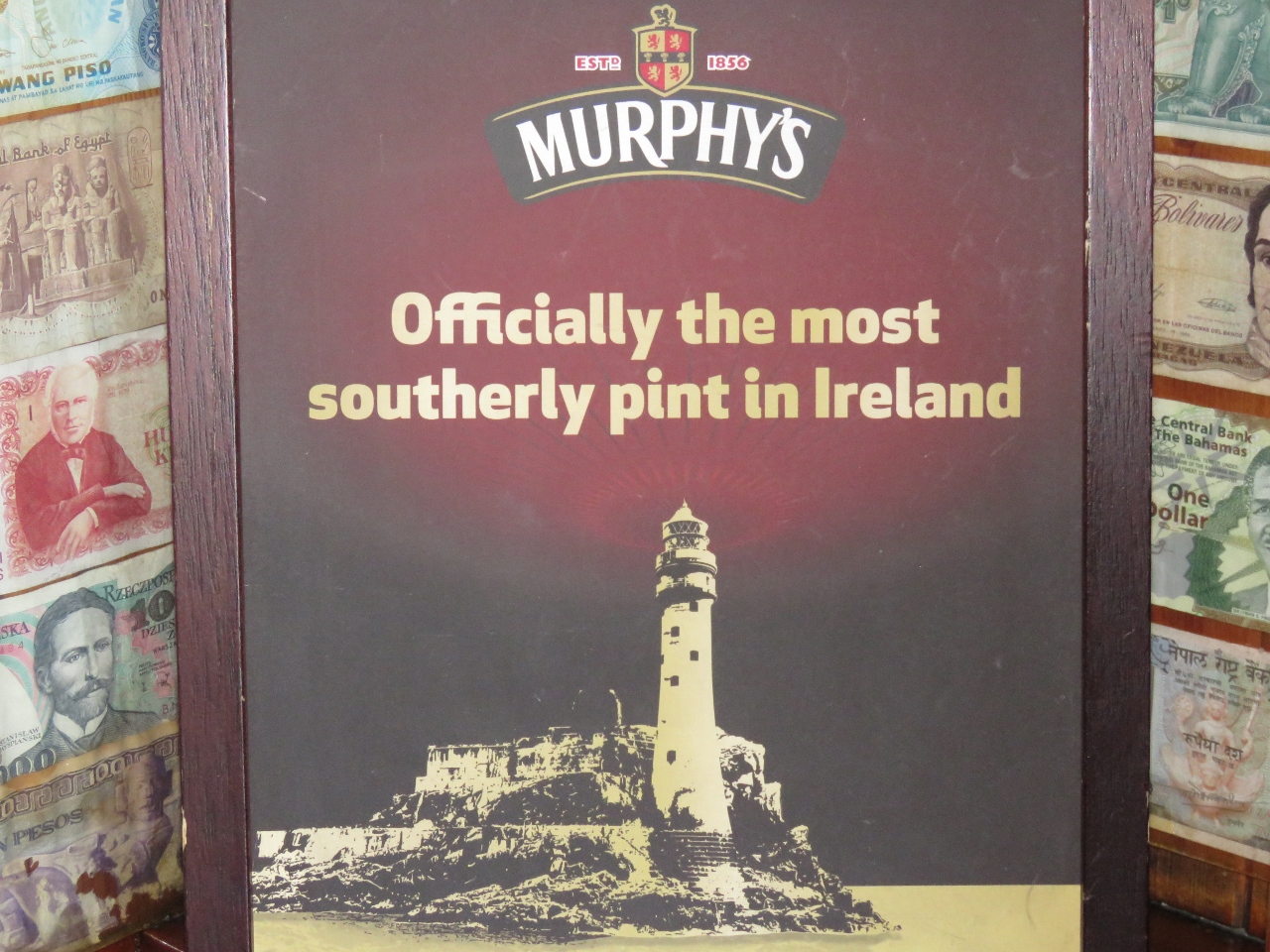 |
Murphys
Position: -9 43.47, 51 28.17
After lunch, we biked back to Crookhaven and stopped in at O’Sullivans, home of “the most southerly pint in Ireland”.
|
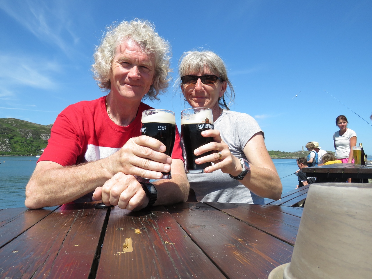 |
Cheers
Position: -9 43.49, 51 28.17
Enjoying a pint on the deck at O’Sullivans.
|
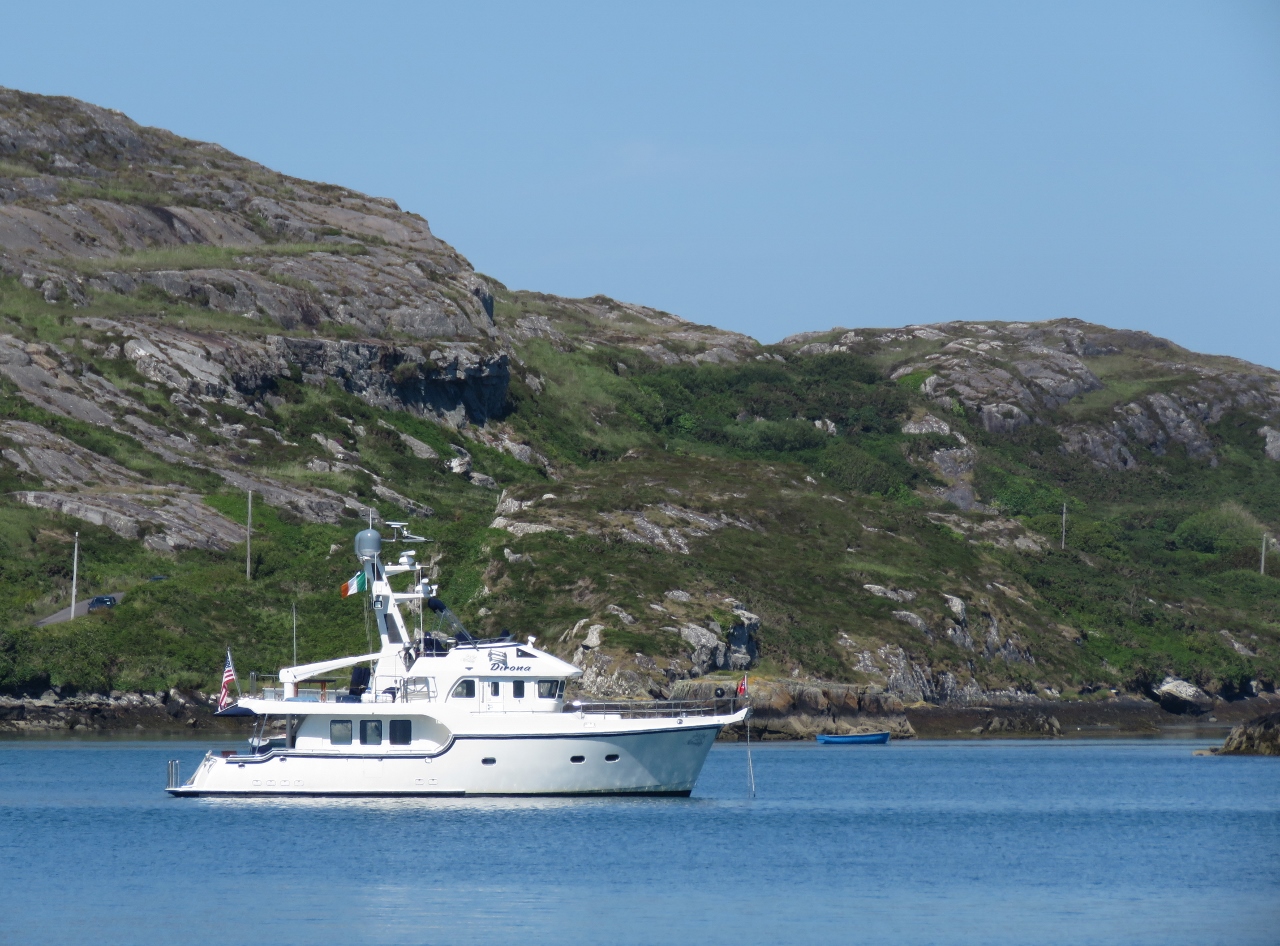 |
At Anchor
Position: -9 43.49, 51 28.17
The view to the anchorage from the deck at O’Sullivans.
|
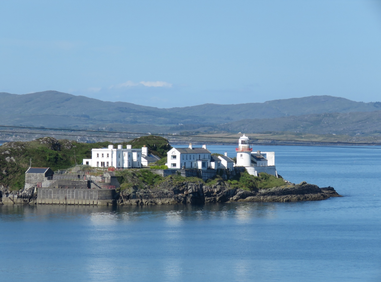 |
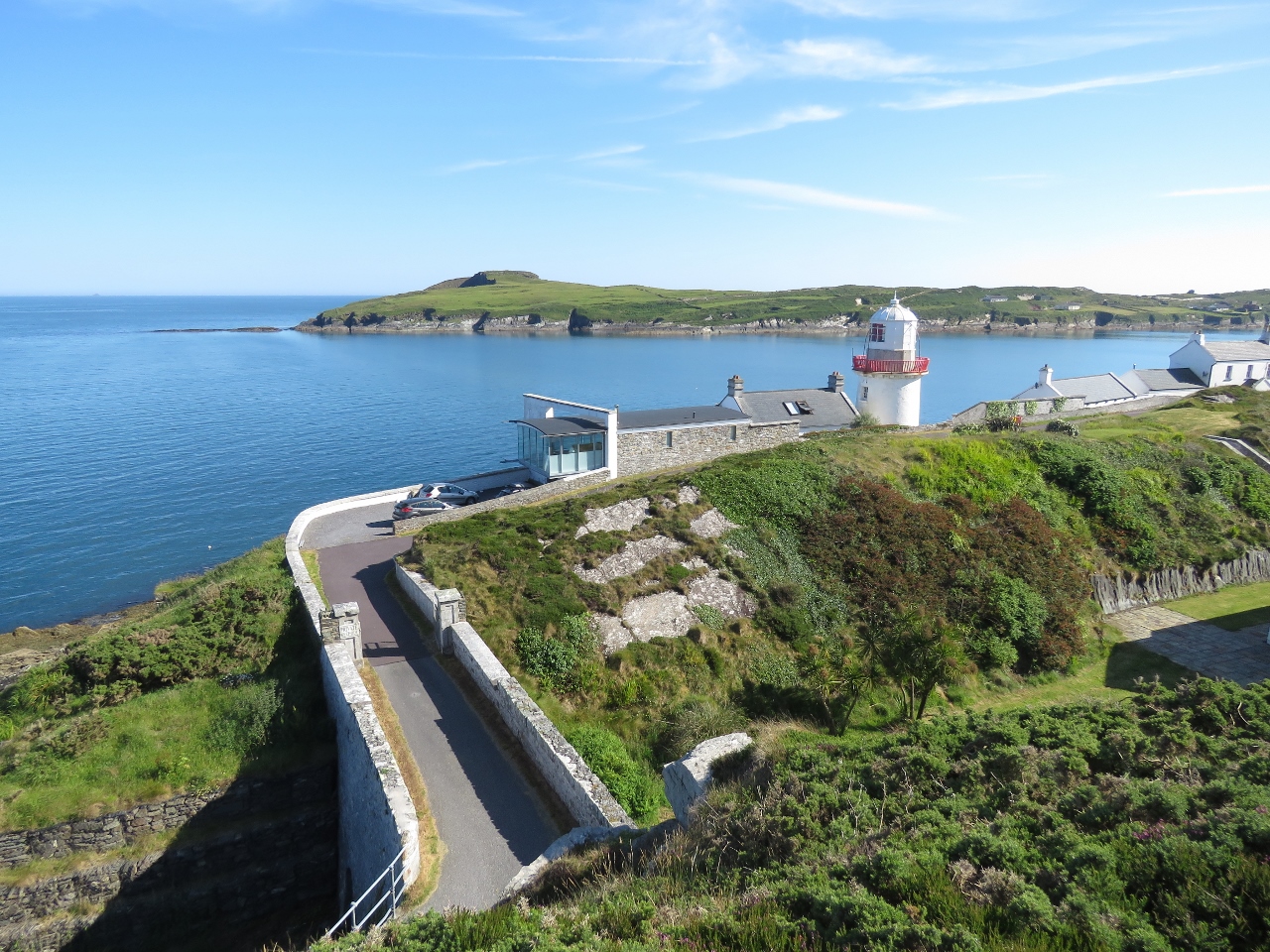
Crookhaven Lighthouse
Position: -9 42.99, 51 28.20
After our stop at O’Sullivans, we continued our bike ride as far as we could go on the road running northeast behind the town. This is the view to the Crookhaven Lighthouse from that side.
|
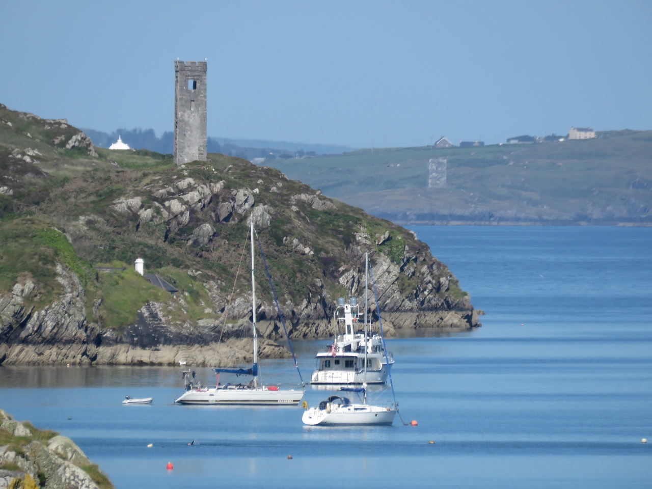 |
Watchtower
Position: -9 44.71, 51 27.98
Looking across Crookhaven Harbour from the west shore to the watchtower above our anchorage.
|
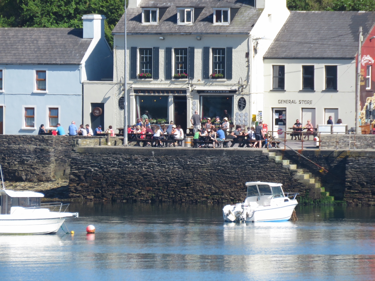 |
O’Sullivans
Position: -9 44.23, 51 28.28
O’Sullivans from the other side of the bay. The deck was packed on this warm and sunny Sunday afternoon.
|
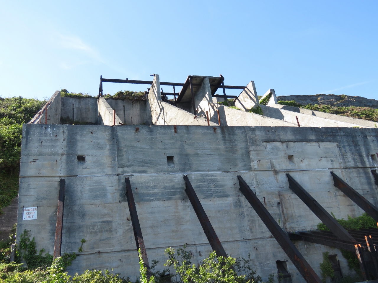 |
Quarry
Position: -9 44.23, 51 28.28
Looking up to the Roadstone Quarry along the north shore of Crookhaven Harbour. The quarry was a source of gravel for Welsh tarred gravel roads until the 1930s.
|
 |
Harbour Entry
Position: -9 42.25, 51 28.64
Crookhaven Lighthouse at the entrance to Crookhaven Harbour. The modern rental cottage on the left looks pretty spectacular close up.
|
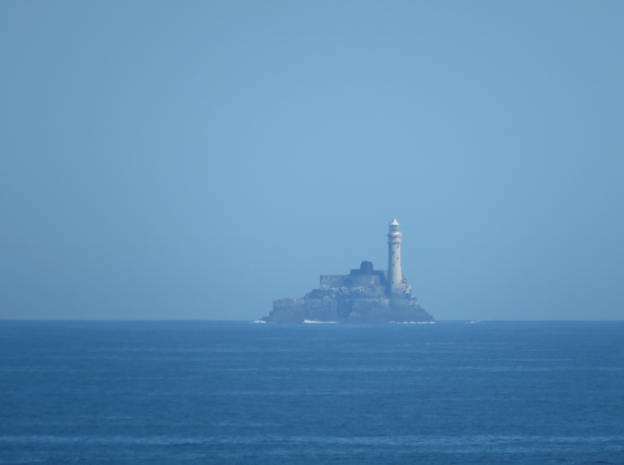 |
Fastnet Rock
Position: -9 42.26, 51 28.63
Fastnet Rock, six miles away, was clearly visible in today’s sunny weather.
|

|
Click the travel log icon on the left to see these locations on a map, with the complete log of our cruise.
On the map page, clicking on a camera or text icon will display a picture and/or log entry for that location, and clicking on the smaller icons along the route will display latitude, longitude and other navigation data for that location. And a live map of our current route and most recent log entries always is available at http://mvdirona.com/maps. |
If your comment doesn't show up right away, send us email and we'll dredge it out of the spam filter.