_small.jpg) |
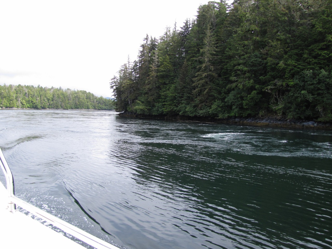
According to the
current tables, Elbow Passage was flooding at about 2 knots as we left Klag
Bay. Current corrections for The Gate aren't provided, but the flow there
seemed much faster. We didn't have any trouble exiting against it, but at
2000 RPM we could reach only 3.3 knots instead of 8.5. |
_small.jpg) |
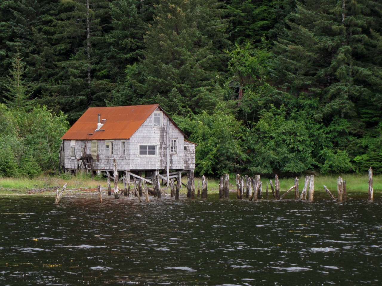
As the crow flies, Kimshan Cove is about 1.3 nm from Klag Bay, on the other
side of Doolth Mountain. Kimshan Bay was the site of the Chichagof-Hirst
mine, one of the most productive in the area: between 1922 and 1938 the mine
produced about 88,000 ounces of gold and 20,000 ounces of silver1.
Power lines were run over Doolth Mountain from the community at Klag
Bay. This building ashore at the head of Kimshan Cove the might be a ruin of
the
mining operations. |
%20(1280x961)_small.jpg) |
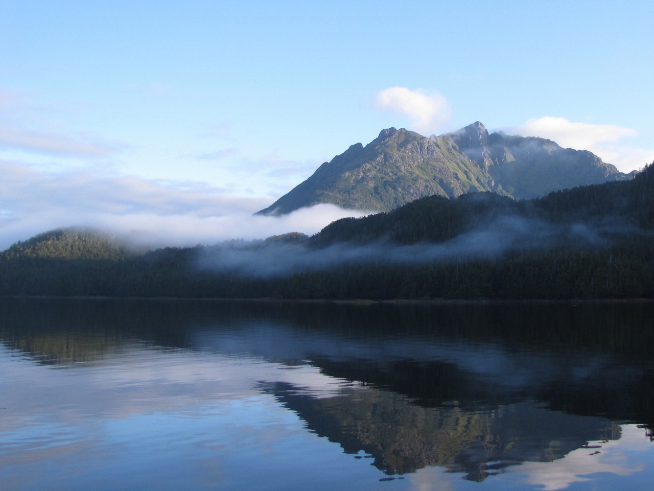
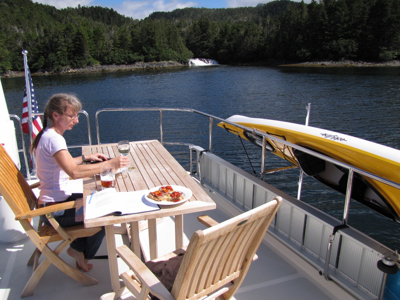
We anchored at the head, off the old mining site, with a fabulous view to
3,200-foot Mt. Lydonia. |
_small.jpg) |
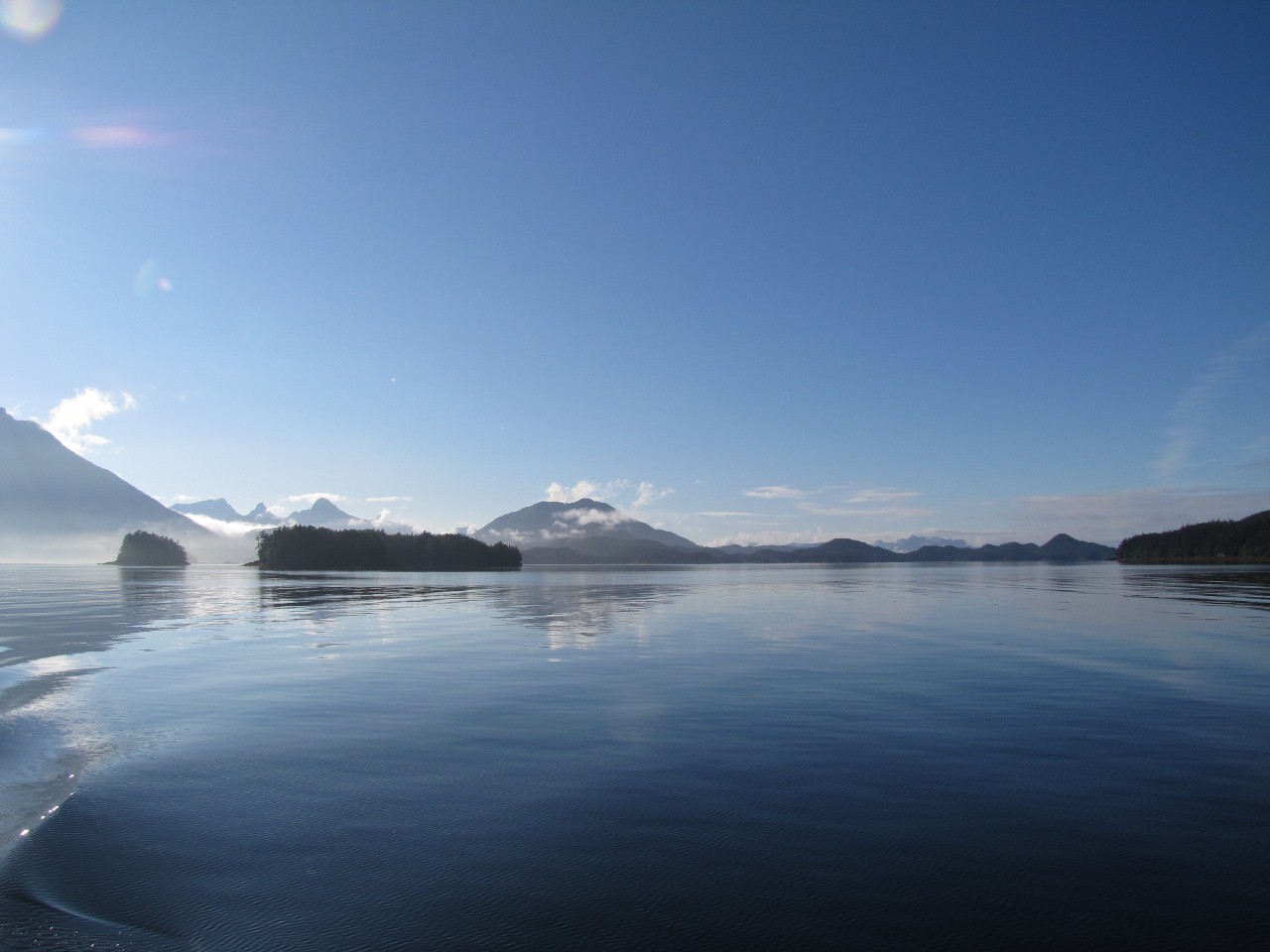
The next day was clear and calm. We made a slow run from Kimshan Cove
through Surveyor Passage to Portlock Harbor and out Imperial Passage to the
outer coast, and north to Porcupine Bay. This is the view looking east to
Surveyor Passage from Portlock Harbor. |
_small.jpg) |
The anchorage a Porcupine Bay is secure with several attractions. One is the
large waterfall at the mouth of Porcupine River. |
_small.jpg) |
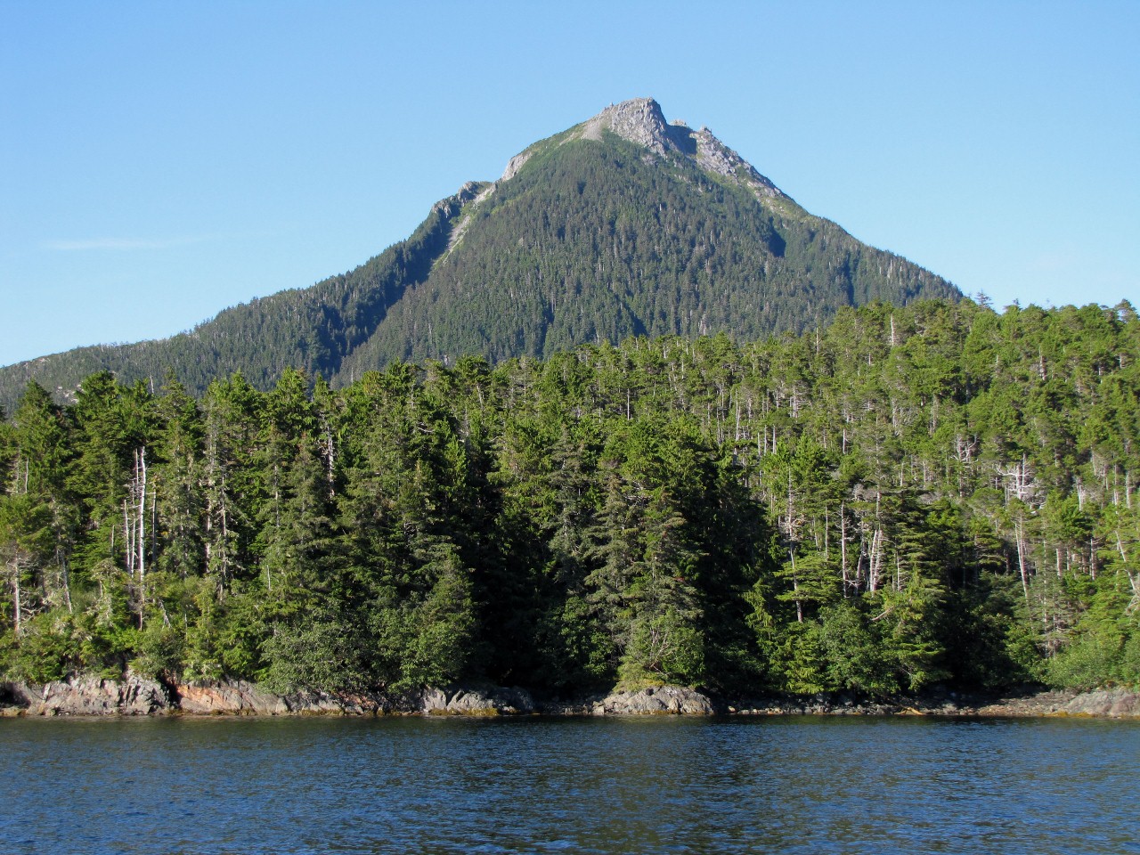
The anchorage also has an excellent view to 2,300-foot Pinnacle Mountain. |
_small.jpg) |
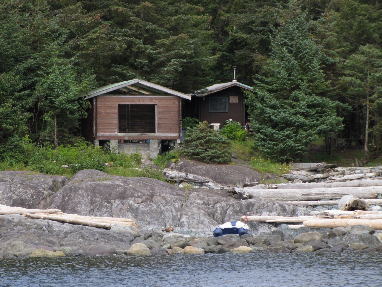
A 1.5-mile dinghy ride to the south is
White Sulphur Springs.
Landing is a little difficult there, as the shoreline is rocky and
exposed. A sportsfisher was anchored offshore and the occupants had rowed
their inflatable ashore. You can see them peering out at us through the gap
between the foundation and the cabin over the springs. |
_small.jpg) |
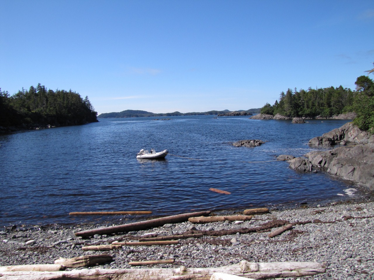
We landed the dinghy at a sheltered cove just north the springs and took a
short walk ashore. Here we've tied off using an
Anchor Buddy. It
pulls the vessel back out into deeper water so if the tide goes down, we
won't be left high and dry. This hasn't been as big a concern for us in the
past, as between we could carry the
old
dinghy from the 4087. But the
new dinghy
is too big for us to move, so we can't risk it grounding. |
_small.jpg) |
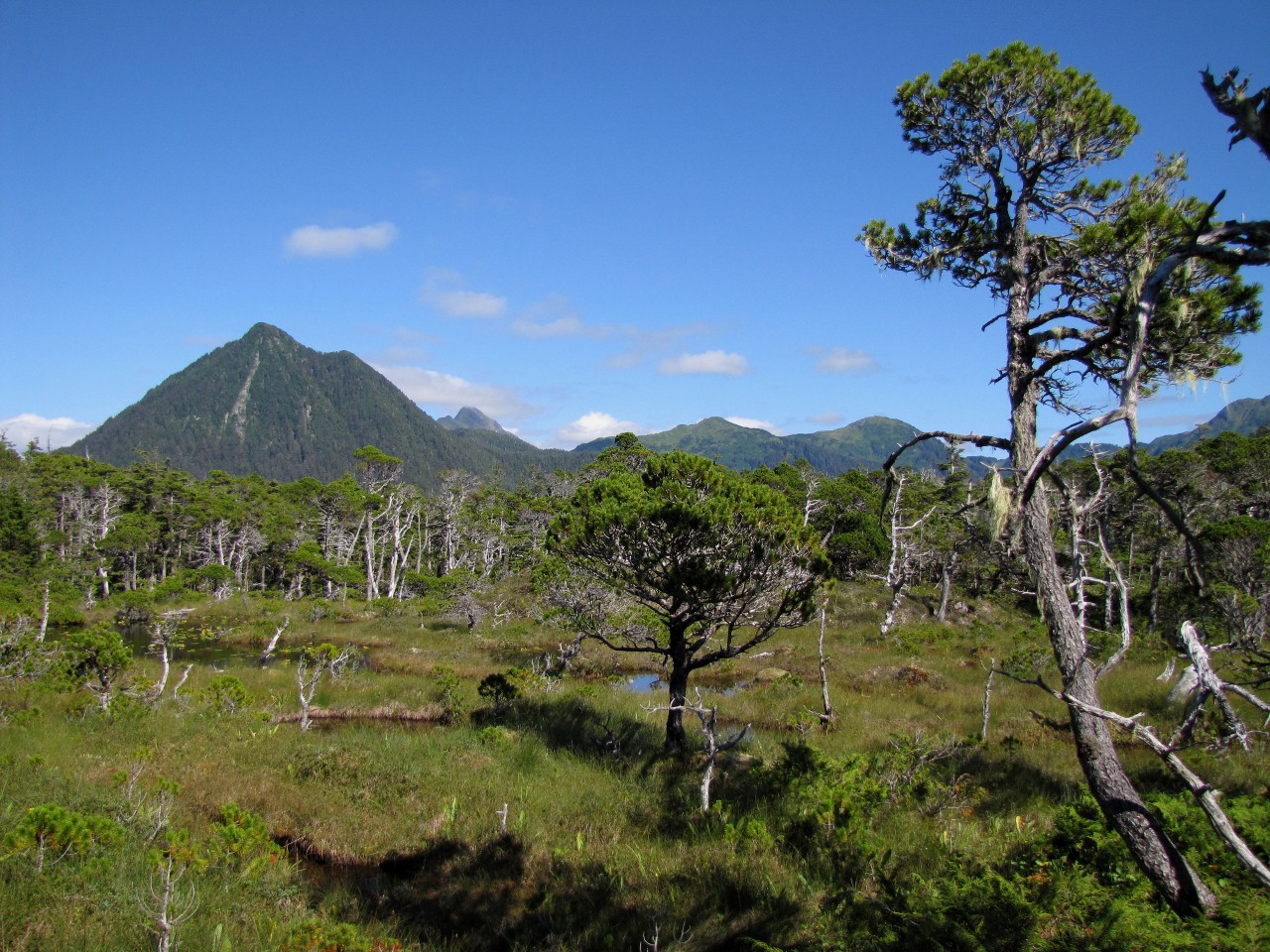
The terrain ashore
was relatively flat and open, with great mountain views. That's Pinnacle
Mountain again in the background. Various trails snaked off in all
directions, but it wasn't clear where they went. One ran in the direction of
the hot springs, but petered out after a while. |
_small.jpg) |
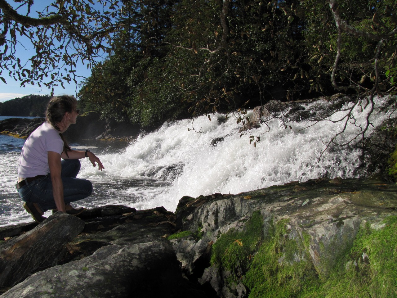
Back at Porcupine Bay, we found a well-worn trail beside Porcupine River,
and hoped that it might run all the way to Lake Elfendahl. But the trail
faded not far from the shore. We did get a great close-up view of the falls
though. |
 |
Click for more pictures |
.jpg)
.jpg)
%20(1280x961).jpg)
.jpg)
.jpg)
.jpg)
.jpg)
.jpg)
.jpg)
.jpg)
.jpg)