 |
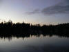
Mats Mats Bay was our first
stop on the trip. It's a lovely, quiet, and sheltered
anchorage, but the shallow, narrow and twisting entrance is difficult enough
to warrant range markers. We arrived just past dusk with a low tide, making
for an exciting entry. (Trip
map.) |
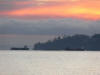 |
Leaving the next morning, we saw
a Coast Guard cutter with its lights flashing. The cutter was the rear
escort for a submarine that was heading towards
Naval Base Kitsap
at
Bangor along the Hood
Canal. The sub had two Navy escorts close on each side and another Coast
Guard cutter in front. (The sky really was that color--we didn't edit the
picture.) Before 9/11, we frequently saw subs running without an escort. Now
they always have several boats with them. |
 |
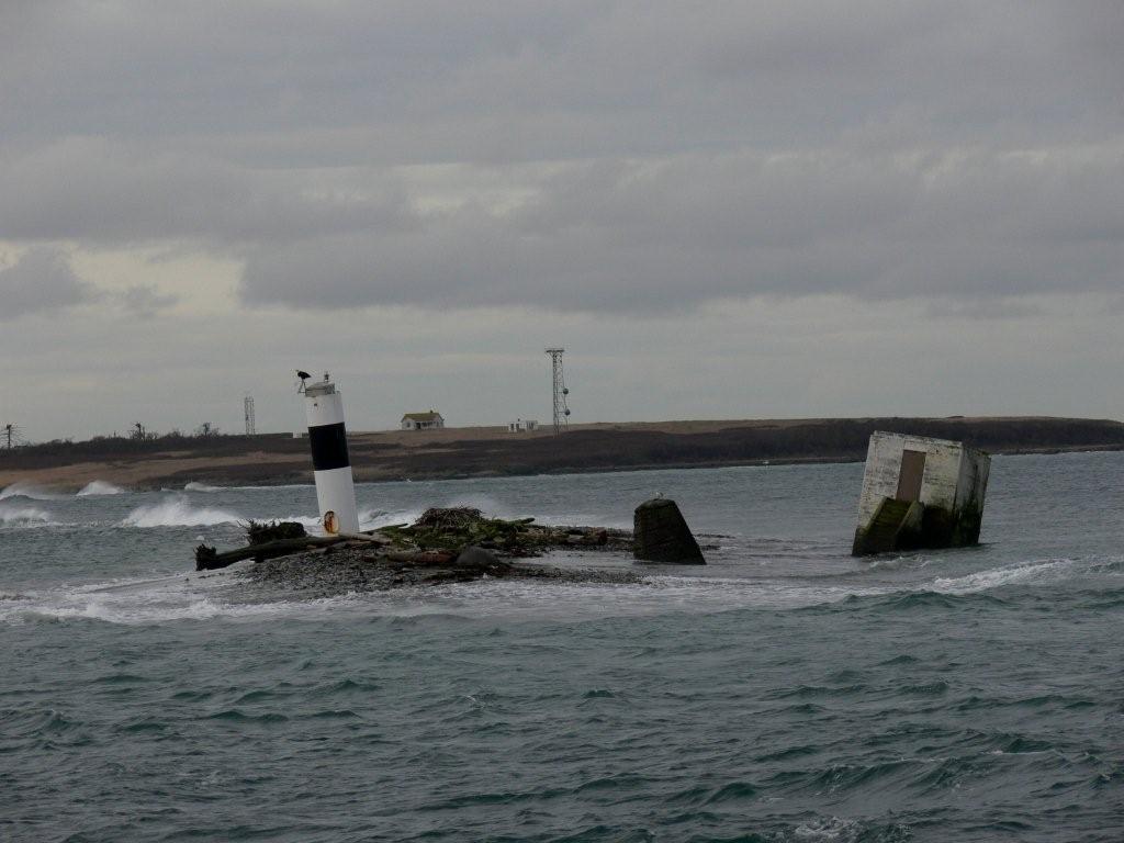
We took the Port Townsend Canal towards
Port Townsend past
Naval
Magazine Indian Island where two large Navy boats were docked. The crane at the ammunition pier there is the
Department of Defense's largest. (Trip
map.) |
 |
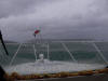
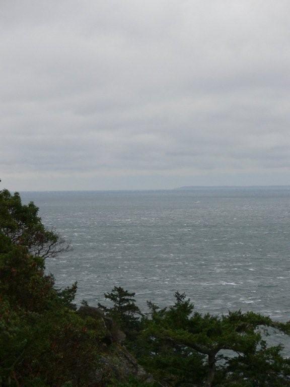
Conditions in the
Strait of Juan de Fuca were reasonably calm, but a
southeast storm was forecast. When we reached
Smith Island, the wind had started to pick up and was blowing waves across
the spit to Minor Island. The
resident
eagles were not about. (Trip
map.) |
 |
We anchored for the night in
Watmough Bay on the southeast side of Lopez Island, thinking it would
have good southeast protection.
It didn't. The winds were still howling, but we weighed anchor at first
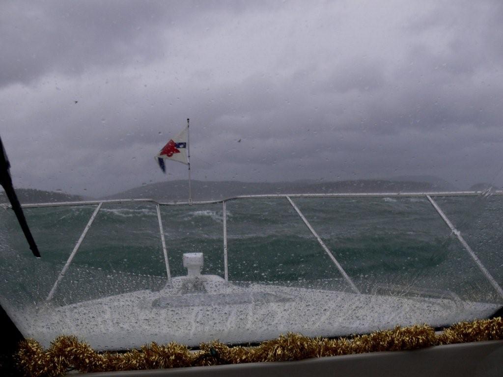
light the next morning for calmer waters. Rosario Strait was a mess. The
waves were about as big as we'd want to take on: 8-10 feet and tightly
packed. Waves never look as big in a picture, but this is the view in
slightly calmer conditions as we approached
Lopez Pass. (Trip
map.) |
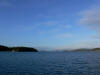 |
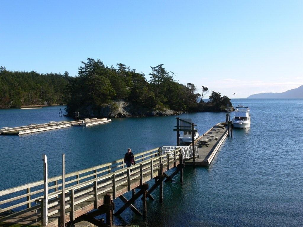
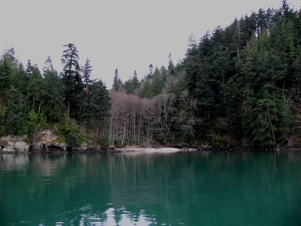
We'd anchored in Mud Bay before
during southeast storms, and knew it had good protection, so stopped there for
the night. It was nice to be in calm, protected waters after the beating
we'd taken, although
we were barely a mile from Watmough Bay. The weather settled down
later that day and we even got some clear skis and sun. This is the view
looking north, with
Orcas Island in the distance. |
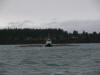 |
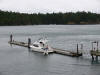
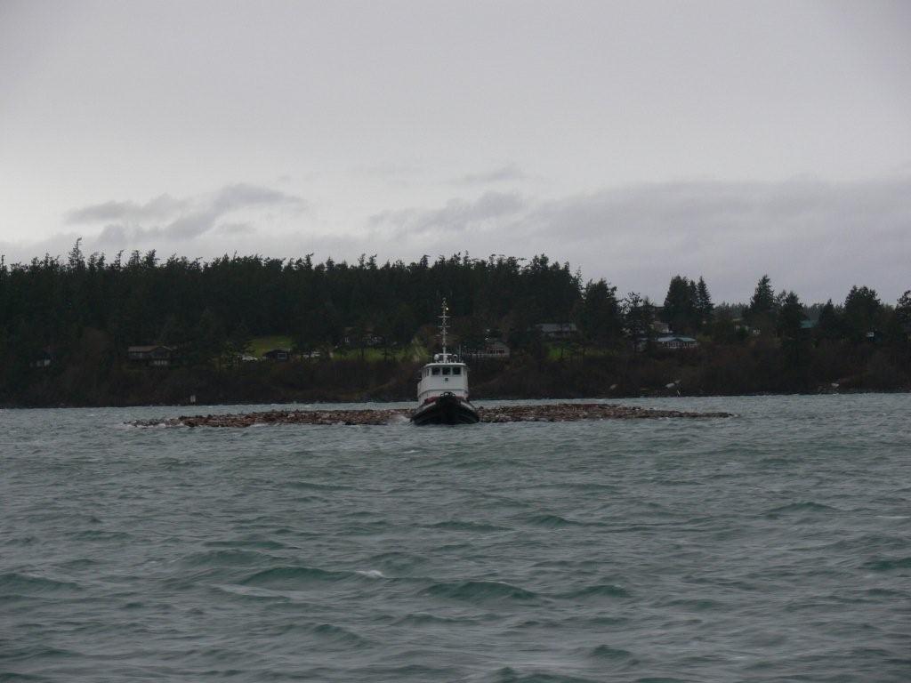
Another storm was coming up as we
left the next morning for Fisherman Bay. This tugboat was anchored south of
Spencer Spit
with a flat boom pulled close. Perhaps the captain was waiting for calmer
conditions or more favorable tides. (Trip
map.) |
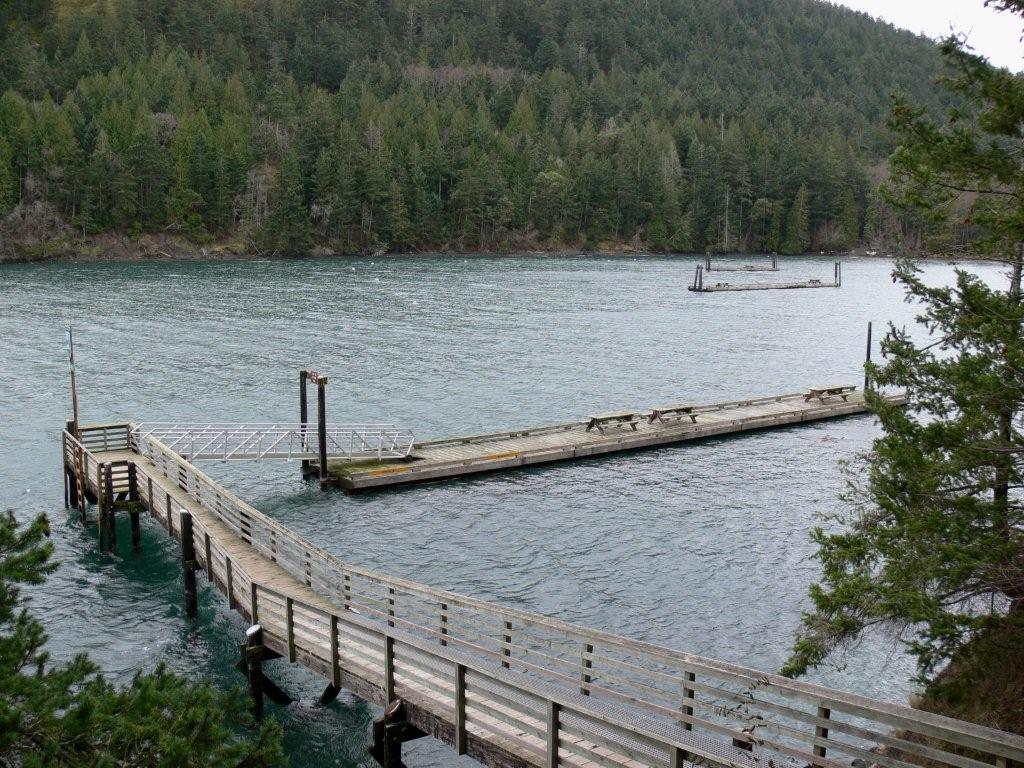
 |
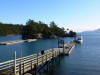
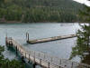
At Fisherman Bay we anchored off
the Galley restaurant and
took the dinghy ashore for lunch and to watch the Seahawks
game. The restaurant has a nice new
dinghy dock, providing easy
shore access. The forecast storm blew through that night from the southeast, swinging
and bouncing us around a bit. But nothing like Watmough Bay. Conditions were
calm and clear again the next morning after the storm had passed. This is
looking northwest towards Friday Harbor over the spit at the entrance to
Fisherman Bay as we left. |
 |
We refueled in Friday Harbor and
headed to the outer islands. Fossil Bay in Sucia Island Marine
State Park was predictably empty. The only surprise was that a park dock was
still in place. Most are removed in the winter to prevent storm damage.
This one likely is kept in place for the caretaker that lives ashore. (Trip
map.) |
 |
The sun was shining and, out of the wind, the temperature
was reasonable with a couple of layers on. We carried a picnic lunch ashore,
hoping to find a sheltered table, and lucked out. A
beautiful, new cedar picnic shelter stood
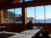
a short distance from the dock. We ate our lunch inside, with views into
Fossil Bay through the windows.
|
 |
We had considered
overnighting on the dock at Fossil Bay until we checked the tide: Dirona
was in 13 feet on an 8-foot tide, and the tide height would go negative 3
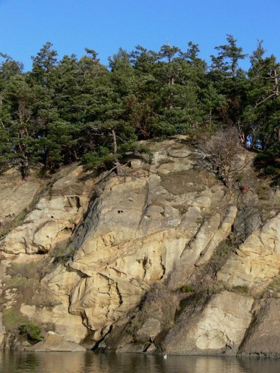
feet overnight. So we moved around to Echo Bay and anchored there instead.
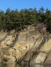
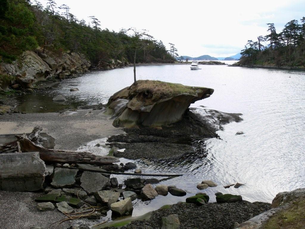
The complex sandstone cliffs along South Finger Island glowed in the late
afternoon sun. (Trip
map.)
Conditions were calm when we arrived
at Echo Bay, but overnight we recorded frequent gusts to 30 and big waves
rolled into our anchorage, tossing the boat and keeping us awake. Another
big storm was forecast (70-90km winds were expected in
Victoria). |
 |
We've not found any sheltered
anchorage on Sucia in southeast winds (waves even wrap around into Shallow
Bay along the north shore), so we left early for Rolfe Cove on Matia Island
(Trip
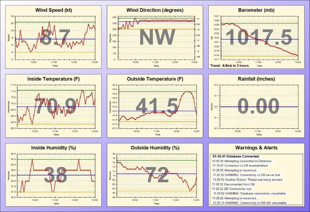
map.) Rolfe Cove is a great place to ride out a southerly storms, as it
has good southerly protection and we can see the action in the Strait of
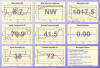
Georgia from the anchorage. The barometer fell 6.8mb in three hours that
morning, a good indication that a storm was imminent. Safe and snug, we had
our traditional
on-board Christmas dinner and relaxed while the storm blew outside. |
 |
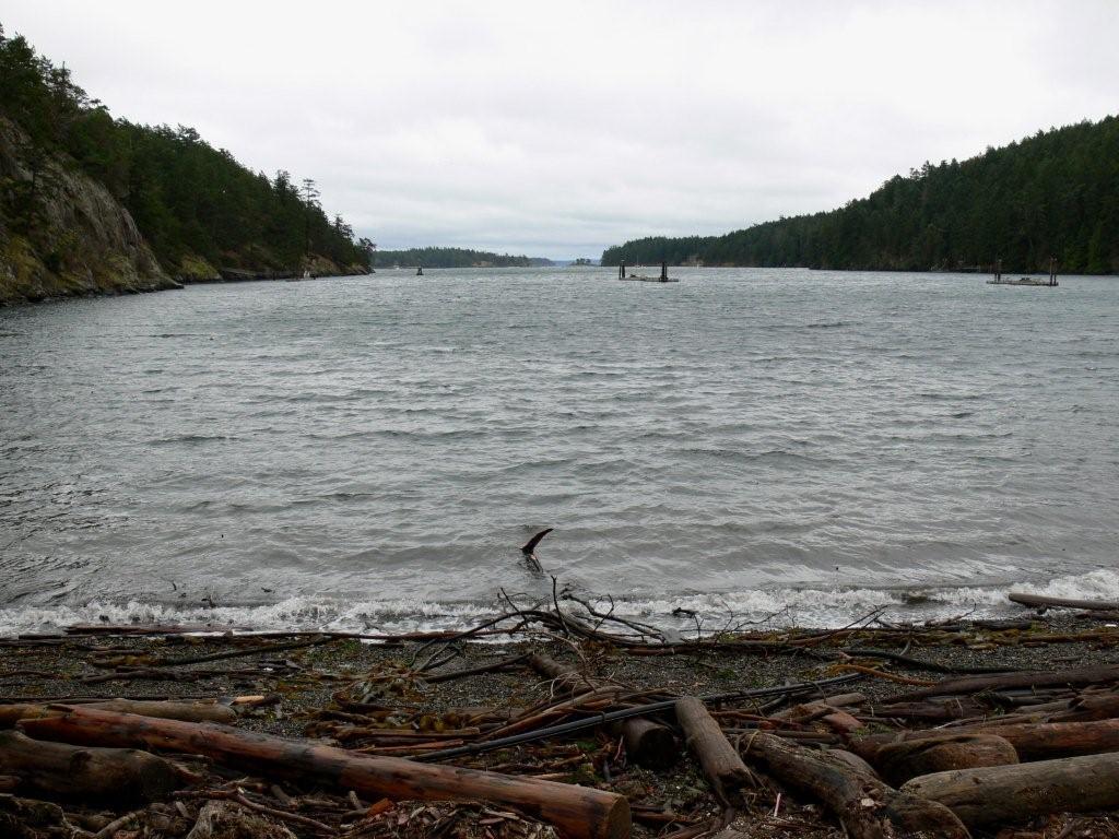
We had a day or two forecast
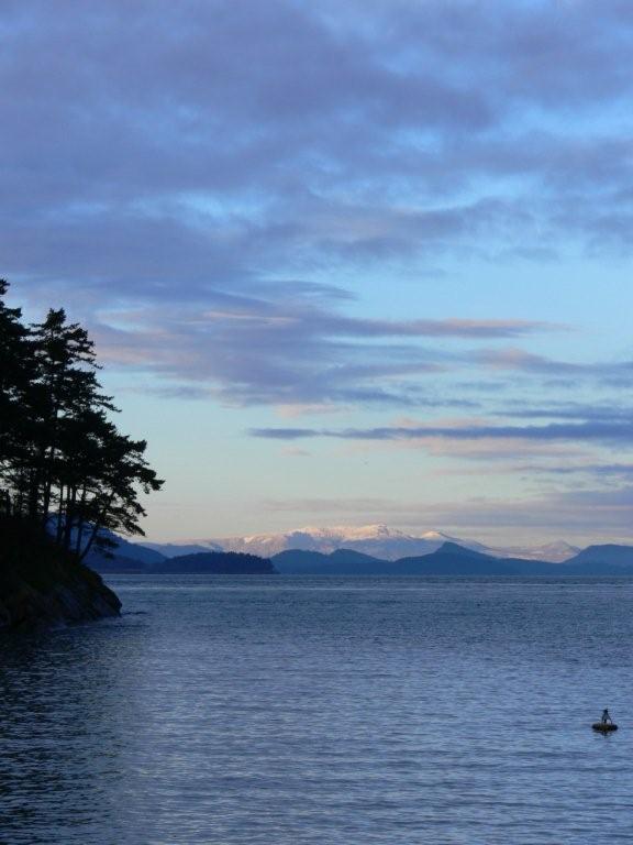
weather reprieve, and decided to stop at Patos Island before heading back
into the main islands. The small bay there, Active Cove, has two mooring
buoys and reasonable southeast protection. (Trip
map.)
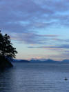
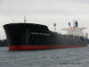
This is the view from Active Cove
looking northwest towards
Vancouver Island. The anchorage is popular in the summer--it was
wonderful to have it all to ourselves.
Besides the view, we enjoy watching big ships
go by through Boundary Pass. (The ship isn't as close as it looks.) |
 |
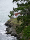
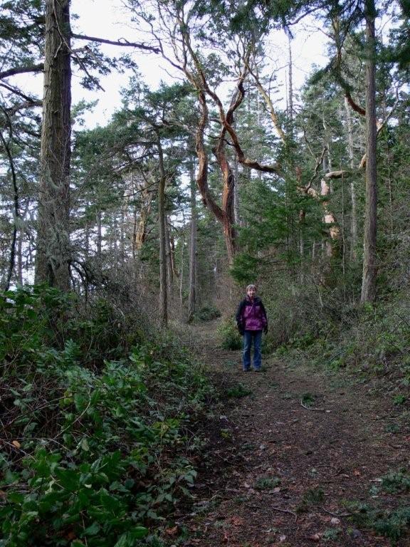
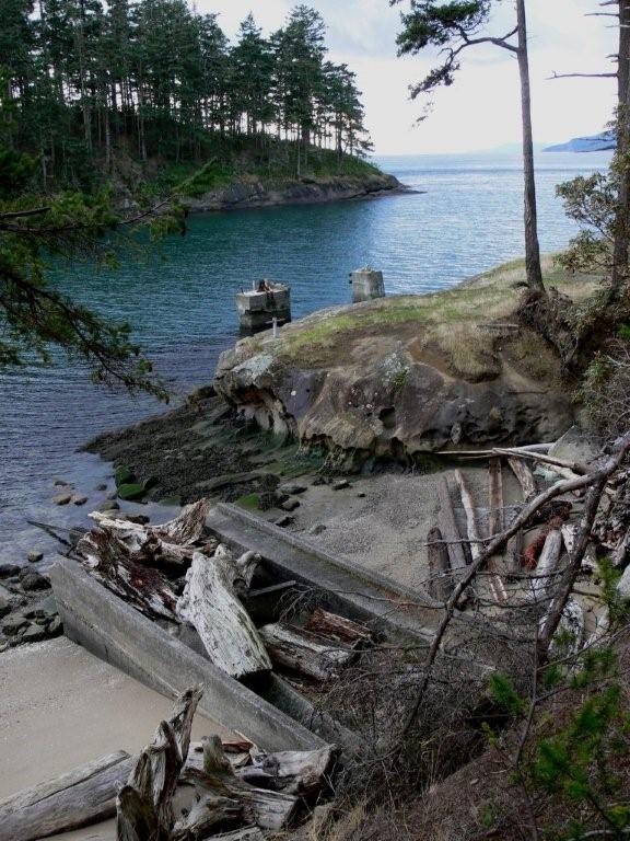
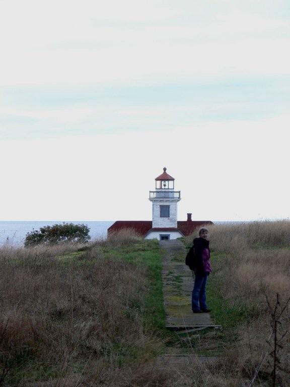
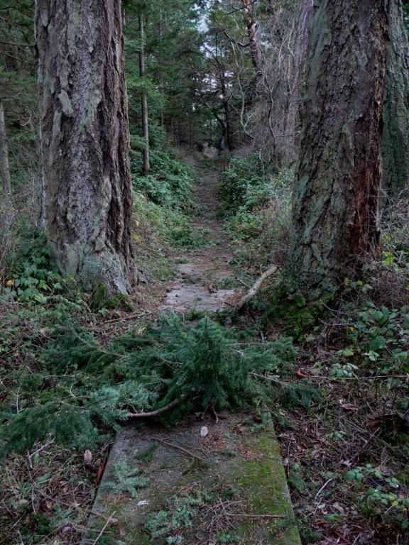
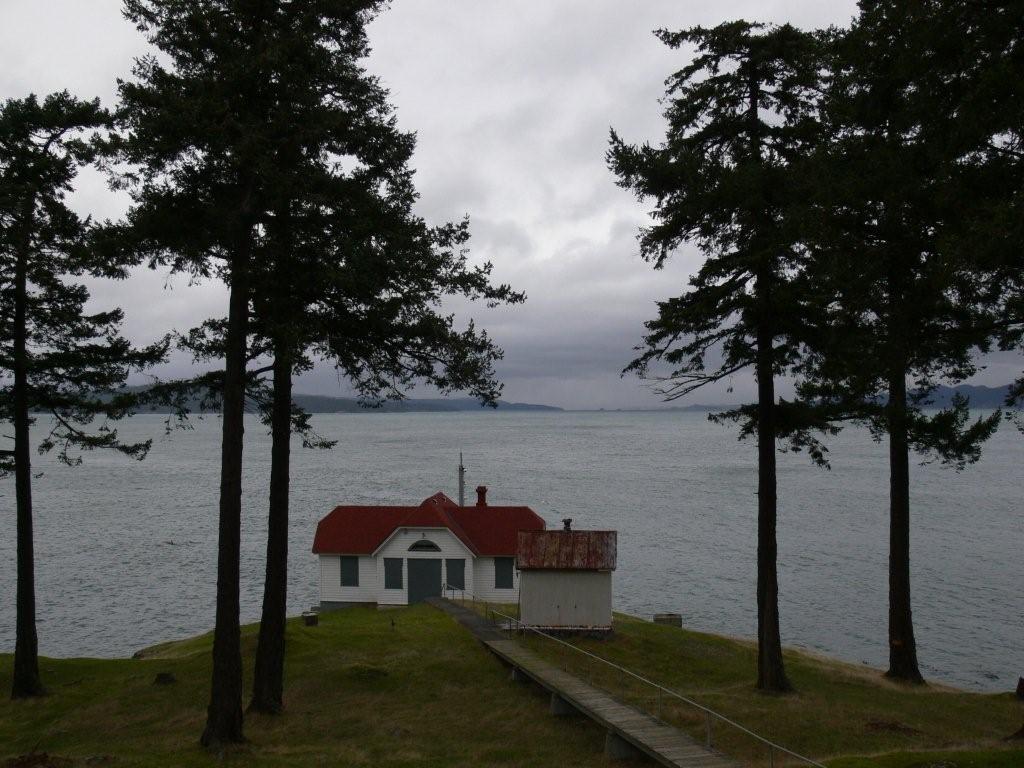
The weather was ideal for a
winter hike. We followed well-maintained
trails to the lighthouse at Alden Point. The lighthouse once was manned,
with a dock at Active Cove and several buildings at Alden Point. Most of the
buildings have been removed and the dock has
nearly deteriorated. Except for the main lighthouse building,
concrete sidewalks lead to empty plots,
with perhaps a bit of foundation visible through the grass. |
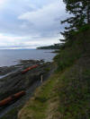 |
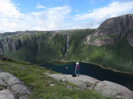
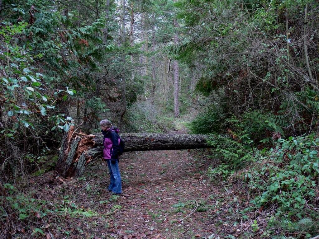
A rougher trail circles the
island, with great views along the way. This is looking southeast into the
Strait of Georgia, with the eastern tip of Patos Island visible in the
distance. The winds were mostly calm now, but on the way to the lighthouse
we saw much evidence of the fierceness of recent storms, including
trees snapped off at their base and
debris all over. |
 |
At first light the next morning we set off for Prevost Harbor on Stuart
Island. A gale warning was in place for the San Juan Islands and the
pressure
slope was beginning to rise. We wanted to get to Prevost before it got nasty,
and fortunately we did. We normally prefer the privacy of anchoring out, but the park
dock at Prevost Harbor was empty and we didn't expect company with the
storm--winds were steadily blowing 30 knots. Wind patterns are visible in
the water to the right (south) of the dock in this picture. (Trip
map.) |
 |
We went ashore for a quick walk
to check out Reid Harbor. It was equally deserted, but looked much
more exposed than Prevost. |
 |
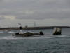
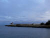
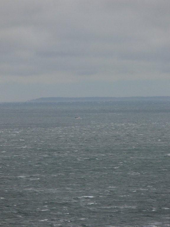
We couldn't resist making the
2.5-mile walk from Reid Harbor out to Turn
Point, both to check out the lighthouse and the weather conditions.
The waters off Turn Point weren't too bad,
but Haro Strait looked rough. A small boat
was making its way across--we were glad not to be out there. (Trip
map.) |
 |
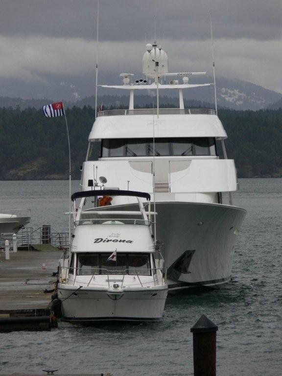
We stayed in Friday Harbor for
the next two nights, the first night at anchor, and the second on the dock.
We'd come into town to watch the Seahawks game. James' father Rob came over
from Victoria to watch with us and spend the night aboard in the marina. (Trip
map.)
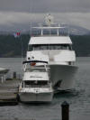
Some big boats were starting to
arrive in town for New Year's Eve. Sometimes our boat feels big and
sometimes it feels small. With the 130'
Infinity docked behind us, that definitely was a small-feeling day. |
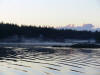 |
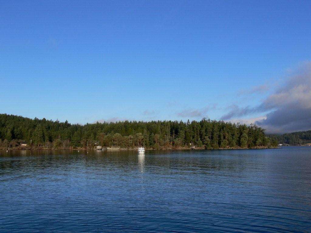
When we left Friday Harbor, winds were predicted to blow NW 10-20, then SE
10-20. That made choosing an anchorage difficult, as most had some exposure
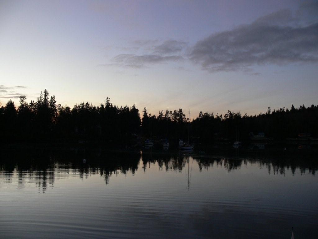
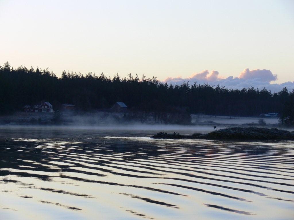
to either direction. We decided to try Blind Bay on Shaw Island.
Another pleasure craft, the first we'd
overnighted with the entire trip save Friday Harbor, was along the west
shore. We tucked in farther to the south and had great protection. The
following morning was cold and clear, with sea fog drifting across the water
as the sun lit the clouds behind. (Trip
map.) |
 |
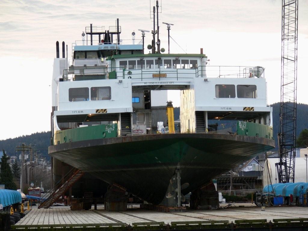
After a night at Spencer Spit, we crossed
Rosario Stait over to Anacortes. (Trip
map.) The forecast was for SE 15-25 winds that afternoon then 20-30
that night.
It was already blowing 20-ish from the south when we left Spencer Spit, and
we expected Rosario Strait to be
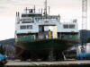
rough, but it was not a big deal at all. Conditions were much worse—steeper waves—near
Anacortes. The Washington State ferry
Hyak was in drydock there for scheduled maintenance, but had
drive motor problems on its first run after returning to service. |
 |
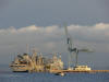
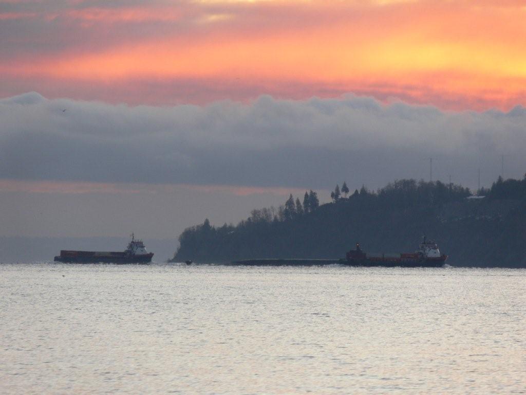
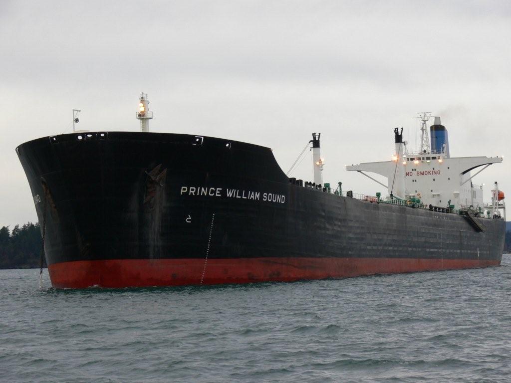
Two tankers, the Prince
William Sound and the Seabulk Pride, were anchored
around the corner in
Padilla Bay off the Shell
Puget Sound Refinery. We enjoy watching the big tractor tugs work these
tankers onto the refinery dock, and were hoping that one might dock, but it
didn't appear that anything was going to happen soon. |
 |
We'd not stayed at Pleasant Harbor in Chuckanut Bay
before, so we decided to give it a try as it appeared to have good southeast
wind protection. Conditions along the way were fairly rough for inside
waters—especially as the waves were coming on the beam—but not difficult to
manage. Pleasant Bay was nice and calm with zero wind. A scenic beach and a
big cliff were behind us along the west shore. (Trip
map.)
The wind really howled overnight—we recorded
49-knot gusts—and the wind noise occasionally woke us up. But the waters
were reasonably calm, unlike Watmough. |
 |
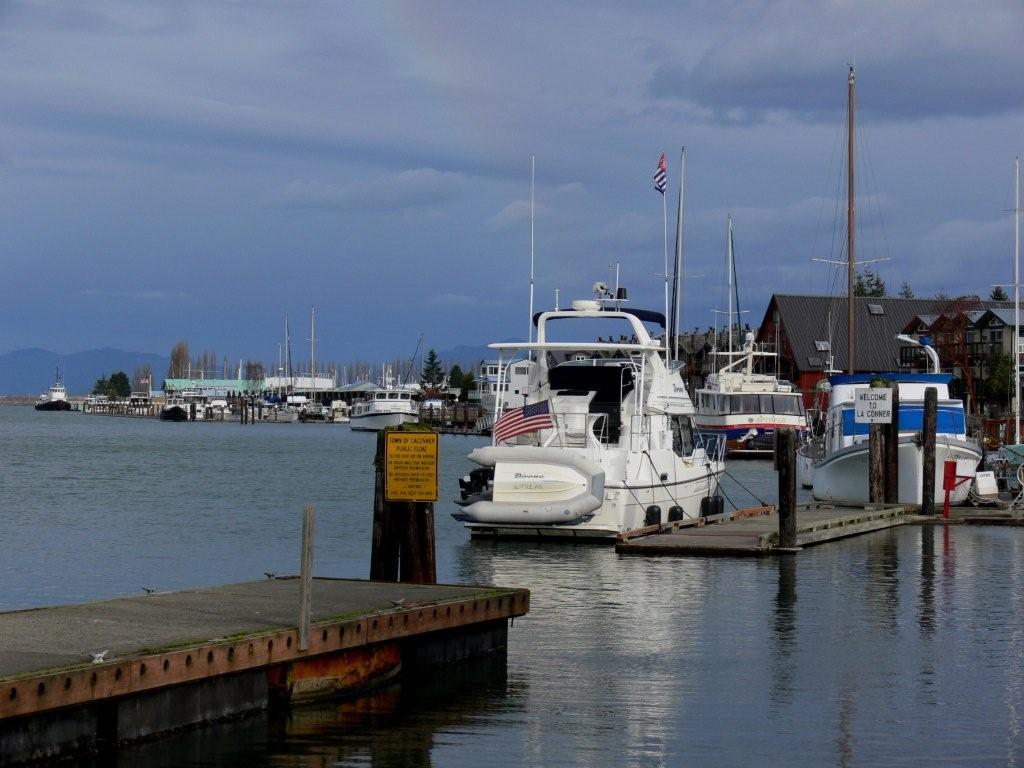
LaConner was our
final stop before running south towards Seattle. It's a wonderful marine
town along narrow Swinomish Channel. (Trip
map.) The public docks usually are packed in the summer, but often are empty
in the winter, as they were that day. We arrived late and spent much of the next day touring around,
including a pass by the Pacific Mariner factory where we
watched a huge
hull being transported from one side of the facility to the other.
Besides the marine industry, LaConner has several good restaurants and
quirky shops, and is full of impressive outdoor art.
We like it there. |
 |
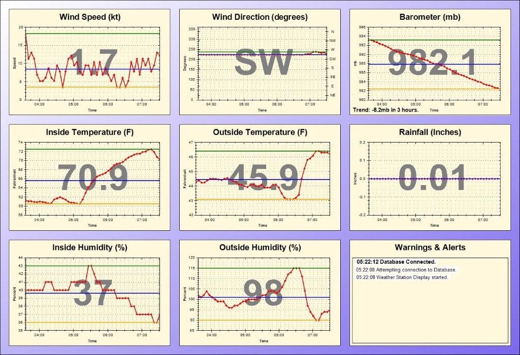
We anchored a final night in Utsalady before heading home. The
anchorage there is completely exposed to the northwest, but has good
southeasterly protection and was calm with a southeast gale forecast for
Admiralty Inlet. We slept well. Another big storm was brewing during our
final leg the next day—the barometer fell 8.2mb in 3 hours. Fortunately
conditions mostly were calm for the run home, except for a brief patch of
rough water between Shilshole and Elliott Bay. (Trip
map.) Many storms had come through, more so than most of our winter
trips, but we'd had a wonderful time. |
.jpg)


