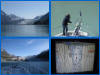
_small.jpg) |
This is the view of
Reid Glacier from our anchorage in Reid Inlet that night. |
_small.jpg) |
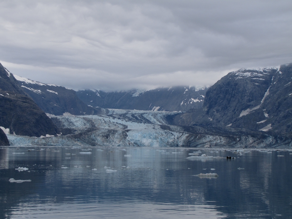
The following
morning, we cruised to the head of John Hopkins Inlet to
view John Hopkins Glacier. Our luck with the clear weather finally had run
out. But that didn't diminish the scenery much. |
_small.jpg) |
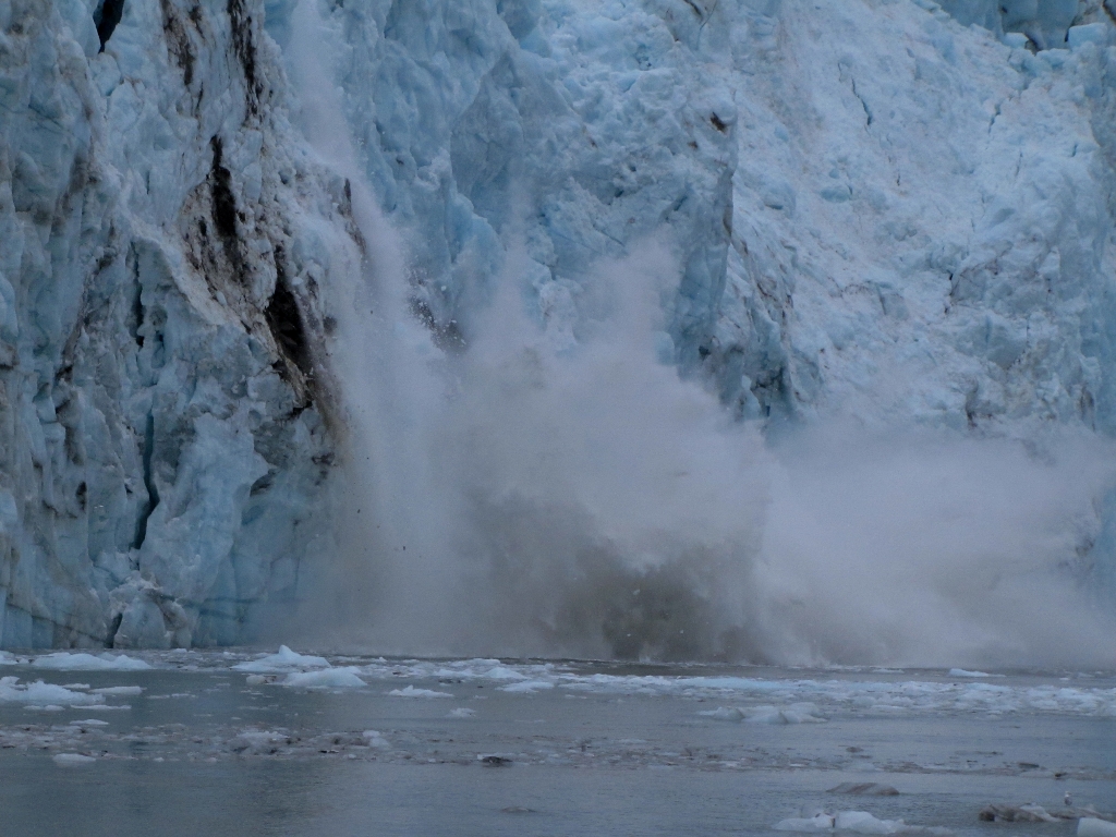
John Hopkins Glacier is one of the more active in Glacier Bay, and is
advancing with a flow rate of about 10-15' per day. Large pieces of ices
frequently carved off the face during our visit. Margerie Glacier
by comparison is flowing at 6-8' per day and is stable, with much less
carving. Most of the other tidewater and terrestrial glaciers in the bay are
thinning or receding, with flow rates of less than 5' per day. |
_small.jpg) |
The high rate of carving meant a lot more ice in the water. Unlike our
Margerie Glacier visit, we eventually had to just push through the ice pack
to get close to the glacier face. |
_small.jpg) |
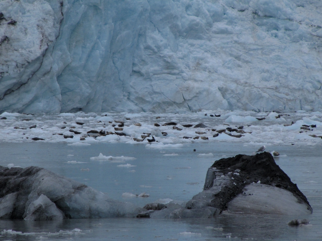
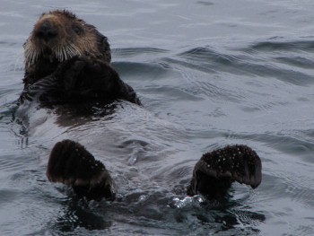
John Hopkins Inlet also is an important harbor seal breading ground. Hundreds of seals packed
the ice floes near the head, seemingly unconcerned about the carving ice. |
_small.jpg) |
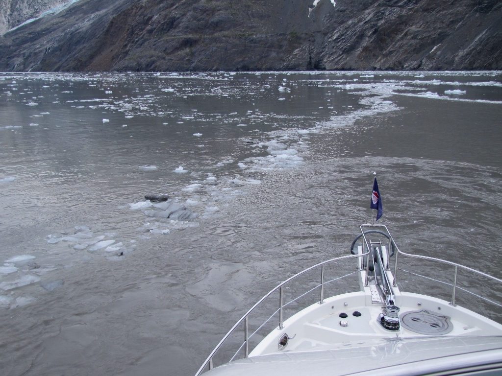
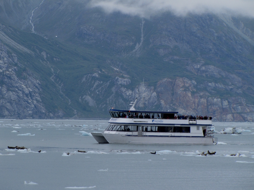
Because it's a breeding ground, the inlet head is off limits to cruise ships
and larger passenger vessels. This small tour boat, the
Fairweather Express II, arrived as we left and was the only other boat
we saw in several hours. |
_small.jpg) |
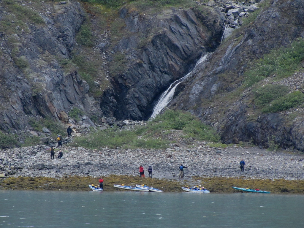
Kayakers are common in Glacier Bay. Here a group has landed to check out a
waterfall near the mouth of John Hopkins Inlet. |
_small.jpg) |
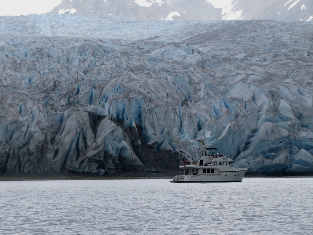
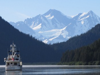
We anchored for a second night in Reid Inlet at almost the exact spot as
the night before--right in front of the glacier in 147 feet. One of the nice
things about having a hydraulic windlass is that depths like this don't
stress it. We could raise and lower the anchor all day in that depth.
The electric winch on the
previous
boat would have overheated before we brought the anchor up once. |
_small.jpg) |
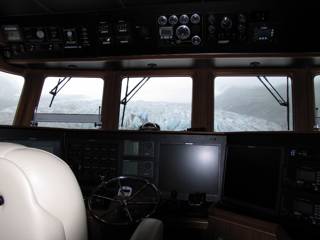
Here's the view from inside the pilot house. You can see why we wanted to anchor where we did. |
_small.jpg) |
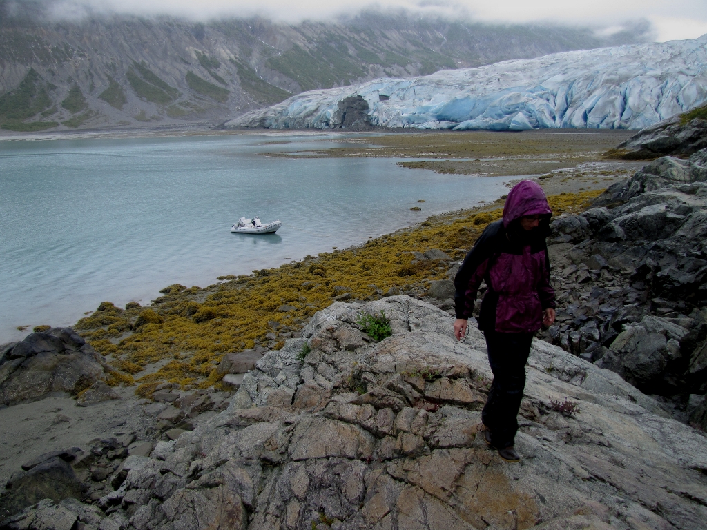
Reid Glacier is one of the few glaciers that can be easily accessed from shore,
another reason we wanted to stop there. We'd actually planned to go ashore
the day before, but had a problem with the dinghy davit that we eventually
resolved, but not in time to go ashore. |
_small.jpg) |
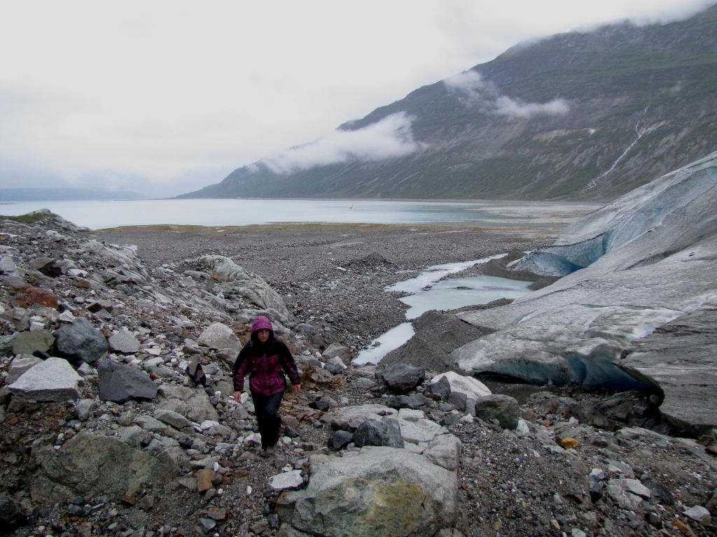
Walking next to the glacier on recently-formed land reminded us of walking
across newly-formed land at the
lava flows on the Island of Hawaii. Some powerful forces of nature are
at work to move rock as a river, whether quickly or slowly, melted or
frozen. |
%20(1024x768)_small.jpg) |
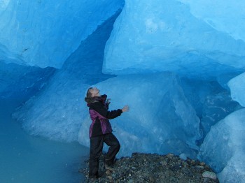
The ice has an incredible deep blue color close up, particularly inside this
cave at the glacier's base. The dense ice absorbs the high-energy colors at
the red end of the spectrum, reflecting back only the low-energy colors at
the blue end. Water has the same effect--when we are scuba diving at night,
red is one of the first colors to disappear with distance. (And yes, going
into a cave inside the glacier, even a glacier that's reasonably stable, was
a little crazy.) |
_small.jpg) |
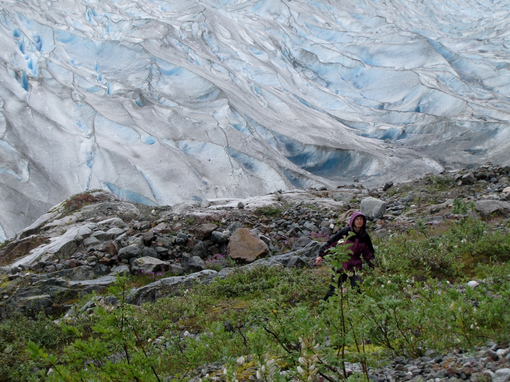
Walking away from the glacier was like walking forward through time--the age
of the land increased visibly as we proceeded, judging by what was
growing on it. First we walked on bare, glacial scrubbed rock, then
through patchy grasses, and eventually small shrubs that
progressively thickened. |
_small.jpg) |
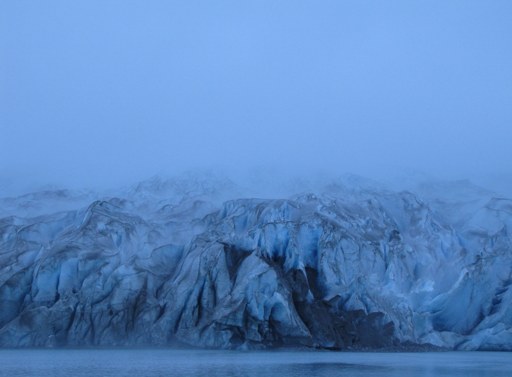
Later that evening, the glacier all but disappeared as a thick fog blanketed
the inlet. |
 |
Click for more pictures |
.jpg)
.jpg)
.jpg)
.jpg)
.jpg)
.jpg)
.jpg)
.jpg)
.jpg)
.jpg)
.jpg)
%20(1024x768).jpg)
.jpg)
.jpg)