|
Cruising Southeast Alaska: Glacier Bay
Glacier Bay has long been high on our list of places to visit. And
after nearly a week cruising southeast Alaska, the first day of our
permit to enter finally had arrived. We'd technically been in
the park for two nights already, as
Dundas Bay is inside Glacier Bay National Park but doesn't
require a permit. Glacier Bay proper, however, was the goal--that's where the
larger glaciers are. We
would stay there for five nights, and spend hours taking in the
spectacular rivers of rock and ice. (Map of
Glacier Bay;
Map of Area.)
 |
The clear weather
continued as we cruised from Dundas Bay through Cross Sound. This is looking north to
3,300' Whitecap Mountain, between Dundas Bay and Glacier Bay.
We
entered North Inian Pass at 10:30, about halfway between a maximum ebb of
5.6 knots at 0815 and slack 1206, but didn't notice much current. We're used
to swift
currents in the constricted channels along the Inside Passage, and were
surprised that such a wide channel would have much current. The area has
such extreme tidal ranges however, with Juneau and Skagway reaching 25 feet,
that seemingly unconstricted channels have strong currents. |
 |
All boaters entering the park must first stop at Bartlett Cove for an
orientation session. This was our first time at a dock since we left
Seattle, so we took the opportunity to remove and
stow our
storm windows. A few other boaters were at the dock while we were doing
this. Not knowing we'd made the
run up offshore, they likely thought us faint-hearted to have installed storm windows
for travelling the Inside Passage. |
 |
At the orientation we were given copies of the park newpaper,
The Fairweather,
and watched the
Glacier Bay Boater Orientation video. We recognized two of the people in
it--they had shared the anchorage with us at
Dundas Bay the night before.
After the video, a park ranger explained various rules, including speed limits
and restrictions around wildlife. She also recommended points of interest. We used the notes we took
from the session quite a bit during our stay. |
 |
One of the rules was a 13-knot speed limit in the lower portion of Glacier
Bay. Since we can only do 9.5 knots flat-out, we weren't too concerned, but
the
current was carrying us along swiftly enough that we actually had to
throttle back. Our orientation was in the afternoon, and we were eager to
cover reach an anchorage near the head, about 50 miles away. So we sped up
outside of the restricted area--the boat almost throws a rooster tail at
full throttle. |
 |
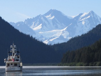
We'd been so lucky with the weather that even if it rained for the rest of
the trip we wouldn't mind. This is one of the pocket cruisers that tour the
area, the Spirit of Discovery, of the now defunct operator Cruise
West. |
 |
In the distance we could see something that looked liked a small boat, but
of an unusual shape. We couldn't figure out what it was until we got closer
and realized it was an big chunk of ice, technically called a "bergy
bit" because of its size. |
 |
Wave action had worn the bergy bit into an unusual shape. We backed the boat
as close as we could stand for a photo-op. Icebergs have a nasty habit of
rotating with
little warning, and can be a real hazard. |
_small.jpg) |
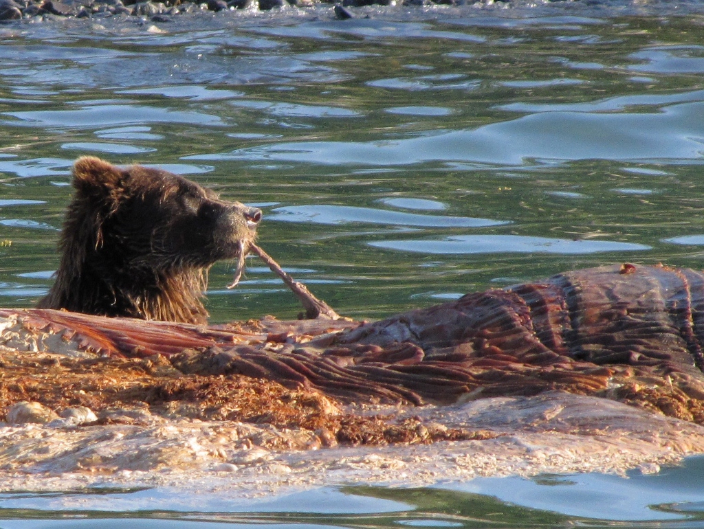
In the orientation, the ranger said a whale that had died and washed
ashore a few days earlier, and the local bears apparently were
gorging on the carcass. We found the carcass a short distance beyond
the bergy bit, a few feet from the beach. A bear stood in the water behind it,
pulling off large chunks at a continuous pace. |
 |
Spitfire went out on deck to look for the source of the horrible smell.
The carcass reeked--the bears didn't seem to care though. |
 |
It was nearly 8pm when we reached our anchorage for the night, on the east side of Russell Island (near the
42-fathom sounding is on this
snippet
from Chart
17300). The scenery there was spectacular, and the sky later glowed pink
and orange in the
sunset. |
 |
Click for more pictures |
[Up]
[Previous] [Next]
Last updated 2011.05.01
|


_small.jpg)

