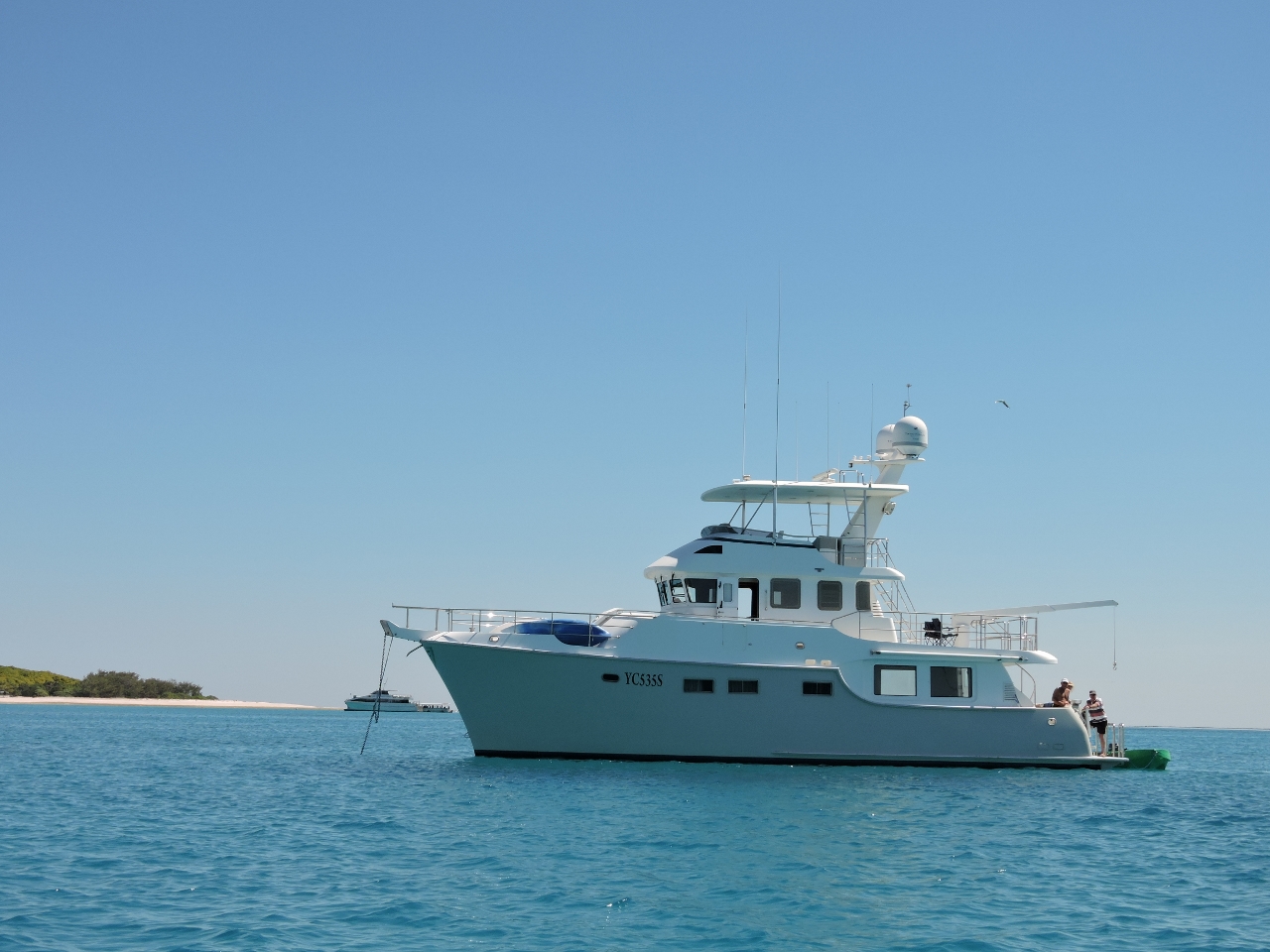
MV Dirona travel digest for Southern Great Barrier Reef 2014

|
Click the travel log icon on the left to see these locations on a map,
with the complete log of our cruise. On the map page, clicking on a camera or text icon will display a picture and/or log entry for that location, and clicking on the smaller icons along the route will display latitude, longitude and other navigation data for that location. And a live map of our current route and most recent log entries always is available at //mvdirona.com/maps/LocationCurrent.html. |
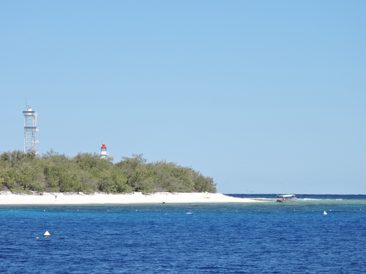 |
9/4/2014: Lady Elliot Island
Position: -24°6.42'S, 152°42.65'E
Lady Elliot Island is the southernmost reef in the chain that makes up the Great Barrier Reef. There is a small resort ashore, with a surprisingly busy airstrip--we saw two planes land within a few minutes of each other as we arrived, and another later in the day.
|
 |
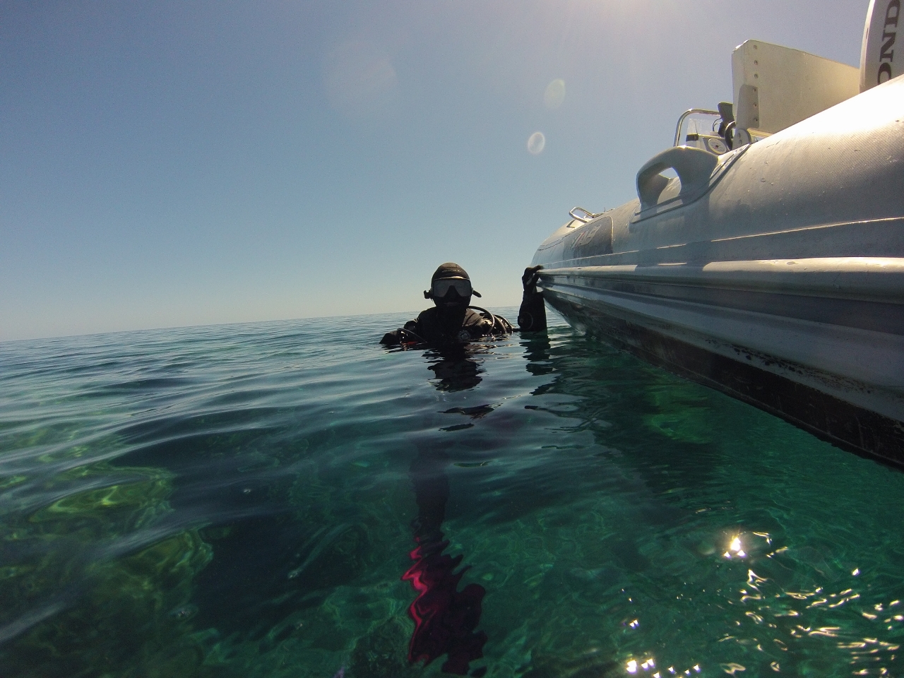
9/4/2014: Blow Hole
Position: -24°6.73'S, 152°43.45'E
One of the reasons we started diving 15 years ago was to get full value from when one day we were able to visit the Great Barrier Reef. Now we're finally there--Lady Elliott is the southernmost reef in the chain that makes up the Great Barrier Reef. We had a great dive--visibility was excellent, the coral life was good, and we saw a white-tip reef shark, a turtle, a huge wrasse, and many other fish of all sizes. The highlight of the dive was Lady Elliot's famous Blow Hole--a 20'-diameter swim-through lined with coral and packed with fish. We had a shutter release problem with our camera, so we didn't get pictures of the blow hole, but a nice one is at Lady Elliot Island Underwater. The dive site was easy to find--a private buoy is adjacent to the blow hole. The only downside to the dive was the temperature: we were freezing in our 3mm wetsuits. Our dive computer incorrectly reported 67F--the actual temperature was about 74. We'll be diving in the drysuits until the water gets warmer. Position approximate).
|
 |
9/5/2014: Sunrise
Position: -24°6.42'S, 152°42.65'E
The anchorage isn't particularly well-protected so even in calm conditions there is some surge. But in this settled weather it wasn't bad enough to bother putting out the flopper-stopper, and we slept well.
|
 |
9/5/2014: Lady Musgrave entrance
Position: -23°53.55'S, 152°24.54'E
The entrance channel into the lagoon at Lady Musgrave Island is narrow, but well-marked and easily navigated. We had no trouble entering at low tide against a several-knot ebb current.
|
 |
9/5/2014: Lady Musgrave Island
Position: -23°54.28'S, 152°24.58'E
Anchored in the turquoise waters of the lagoon at Lady Musgrave Island felt just like being back in the Tuamotus in French Polynesia. The visibility through the water isn't quite as good, and there's a few more people, but it's the closest we've been.
|
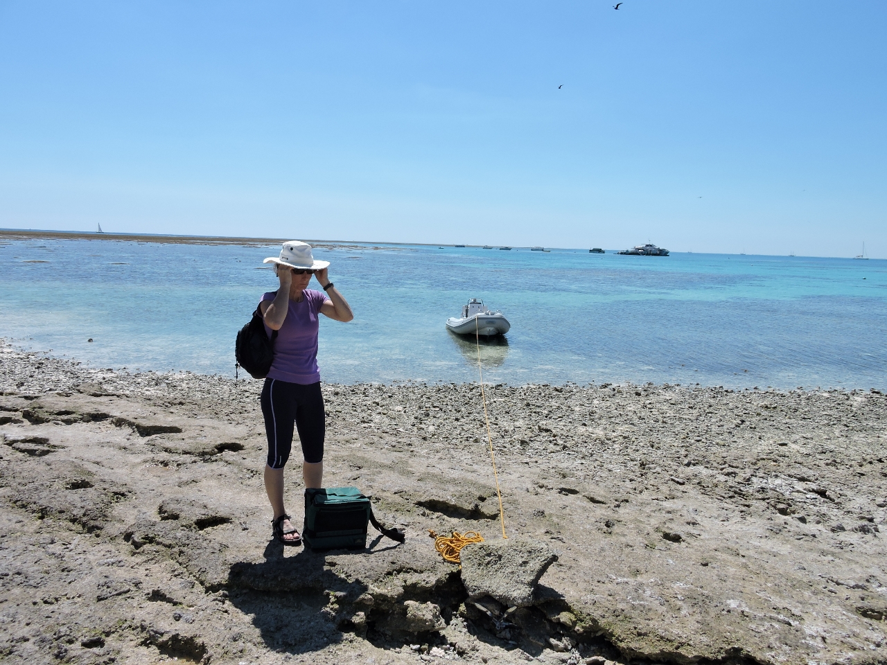 |
9/5/2014: Ashore
Position: -23°54.33'S, 152°23.71'E
On a rising tide, we had just enough depth to anchor the large dinghy off the cay access channel and run a line ashore.
|
 |
9/5/2014: Lunch
Position: -23°54.55'S, 152°23.51'E
Under a clear blue sky with a soft warm wind, we had lunch on the beach overlooking the reef and those turquoise waters. We're really loving it here.
|
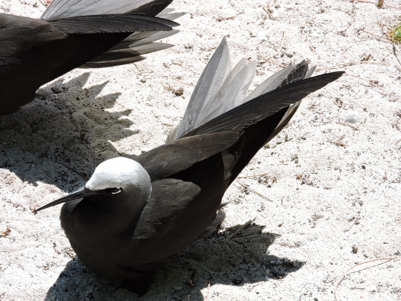 |
9/5/2014: Terns
Position: -23°54.42'S, 152°23.52'E
Thousands of White-capped Noddy Terns were on the island--in the trees, the air and along the path. They didn't seem afraid of people, and moved out of our path only grudgingly.
|
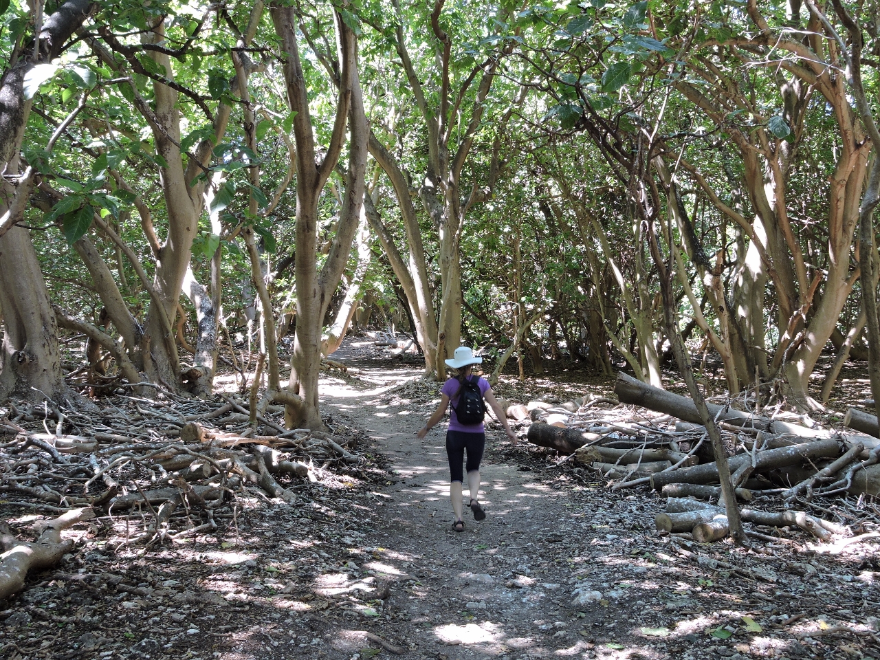 |
9/5/2014: Pisonia Trees
Position: -23°54.42'S, 152°23.52'E
A thick forest of Pisonia Trees covers much of the island. These trees only grow on coral atolls, and produce a thick canopy that blocks the light from any competing vegetation.
|
 |
9/5/2014: Exile
Position: -23°54.22'S, 152°24.26'E
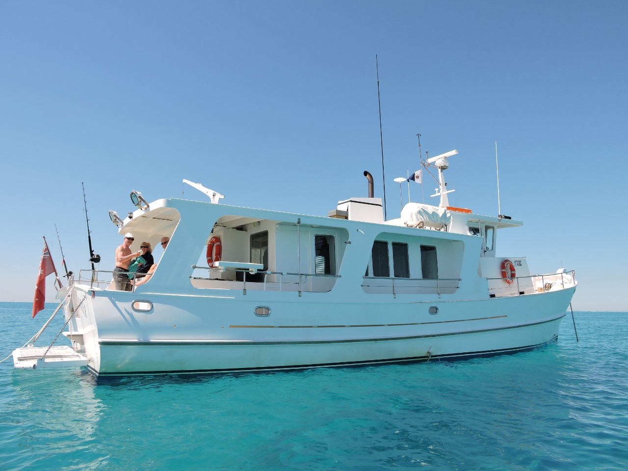
We weren't the only Nordhavn in the anchorage: Nordhavn 55 Exile was there en route south from the Whitsundays.
|
 |
9/5/2014: Rous Explorer
Position: -23°54.24'S, 152°24.27'E
We first saw Rous Explorer in the Great Sandy Straits, and later chatted with them at Port Bundaberg. They're also heading north, so we expect our paths will cross again soon.
|
 |
9/5/2014: Sunset
Position: -23°54.28'S, 152°24.58'E
At least a twenty-five other boats shared the anchorage with us at Lady Musgrave Island, with plenty of room for five times that number.
|
 |
9/6/2014: Diving the boat
Position: -23°54.28'S, 152°24.58'E
With the amount of growth on our fenders after three months in Brisbane, we were expecting the bottom to be in rough shape. The bottom wasn't too bad, but it's surprisingly big and still is not done after a couple of dives. But it's close.
|
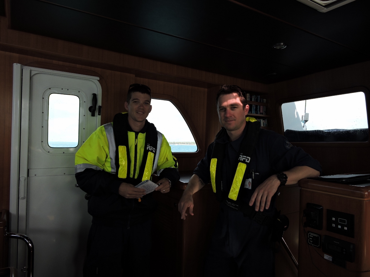 |
9/7/2014: Inspection
Position: -23°54.28'S, 152°24.58'E
A Queensland Boating and Fisheries Patrol vessel was at Lady Musgrave Island, waiting out the day's big winds. While there, they inspected boats in the anchorage. Our inspection was friendly and efficient. The Fisheries officer wanted to see any fish or crab we'd caught recently--we had none--and the Boating officer inspected our ship's papers, life jackets, flares, EPIRB and bilges. We passed muster, and will continue to range freely in Australia.
|
 |
9/8/2014: Weather
Position: -23°54.29'S, 152°24.56'E
A weather system is moving over the area, bringing 20-30-kt winds and squalls. The anchorage doesn't have much fetch, and generally is comfortable in these conditions. At high tide larger waves do roll over the reef and through the anchorage, but the boat motion still is not enough to bother deploying the flopper-stopper.
|
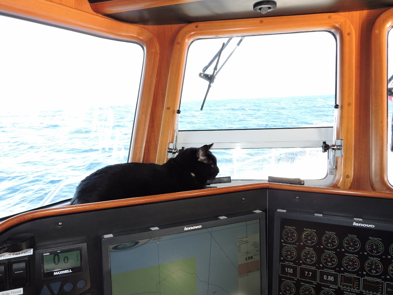 |
9/9/2014: On watch
Position: -23°52.18'S, 152°23.72'E
Spitfire's latest perch when underway. He's only interested in the birds though, and isn't much help looking for hazards.
|
 |
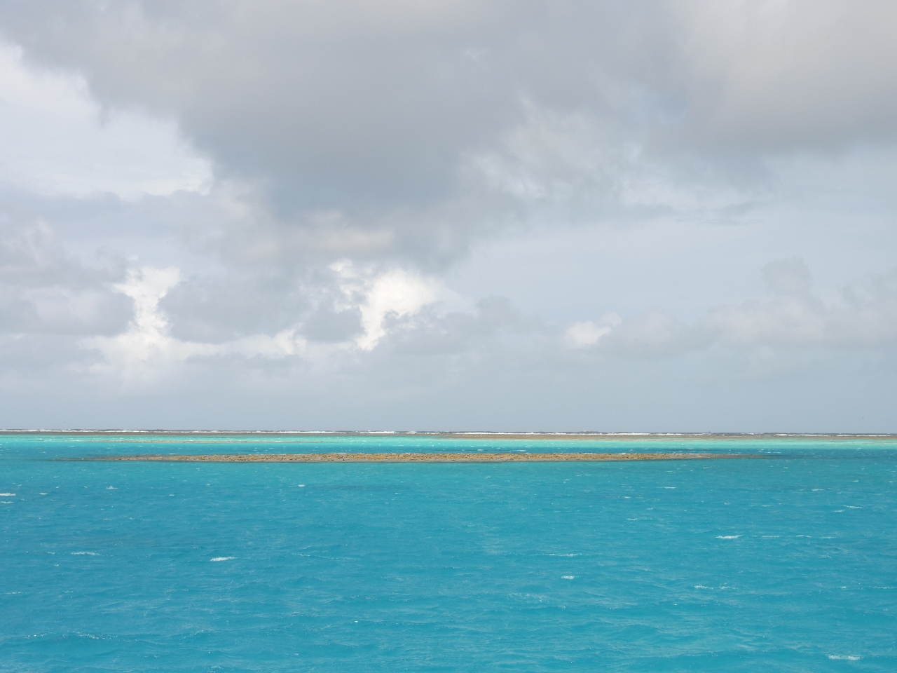
9/9/2014: Fitzroy Reef entrance
Position: -23°36.28'S, 152°9.39'E
The entrance to Fitzroy Reef is about 30' wide at its narrowest, but is well-marked with two buoys and three beacons. We entered about an hour past a 9' high tide and encountered little-to-no current, with a minimum depth of 20'. Entering was exciting, but not difficult.
|
 |
9/9/2014: Back at Beveridge
Position: -23°36.87'S, 152°9.66'E
Fitzroy Reef is a miniature version of Beveridge Reef: a landless atoll where the reef disappears at high tide and you feel anchored in the middle of the ocean. This is the view in every direction--just amazing.
|
 |
9/9/2014: Folly
Position: -23°36.58'S, 152°9.42'E
Folly II entering Fitzroy Reef--the entrance feels as narrow as it looks. One other boat was at Fitzroy when we arrived, and three others came shortly after, including Rous Explorer.
|
 |
9/9/2014: Reef
Position: -23°36.87'S, 152°9.66'E
We entered at high tide, with no reef showing. As the tide fell, the outer reef emerged in the distance, along with isolated bommies (reefs) inside.
|
 |
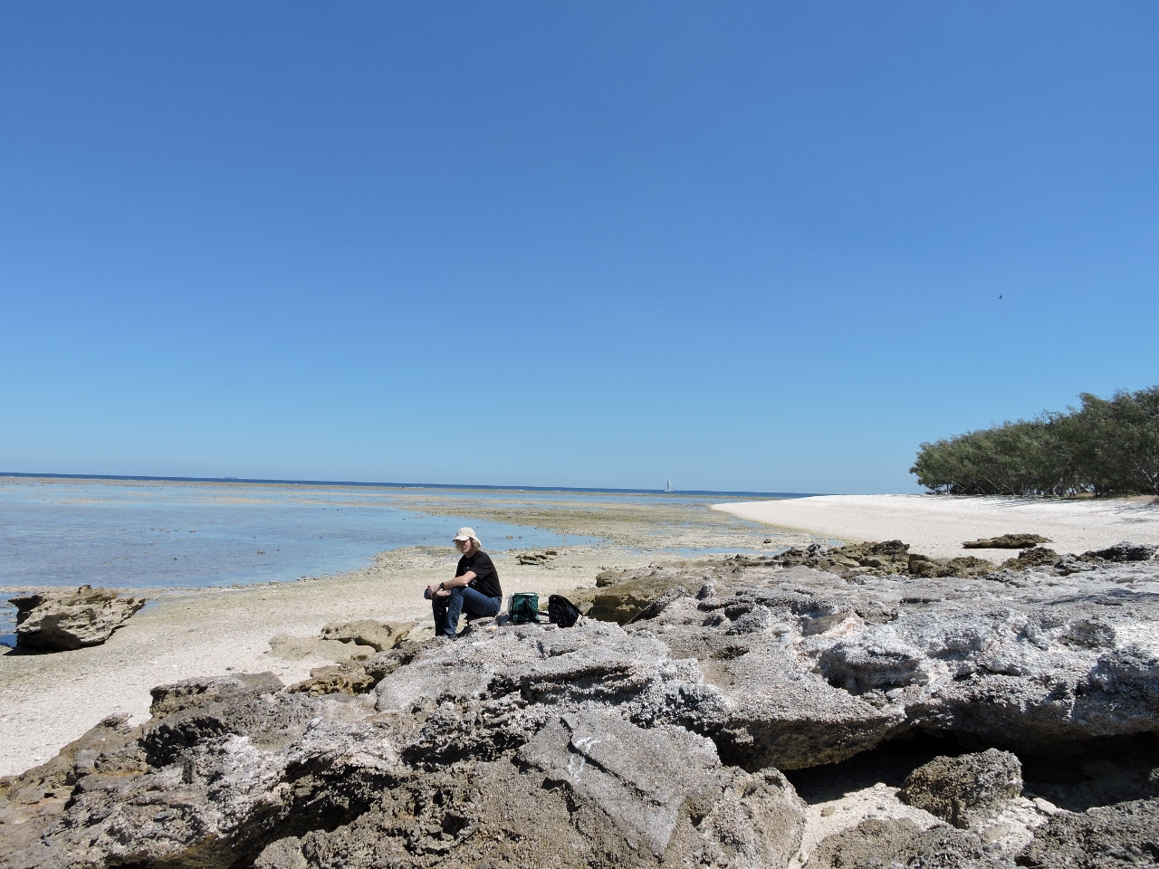
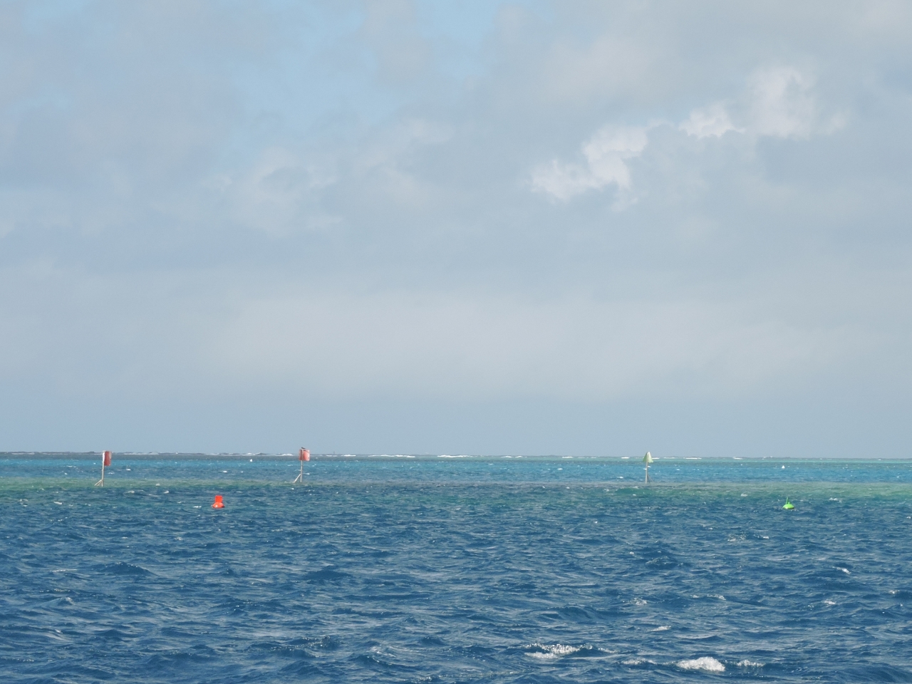
9/10/2014: Anchorage view
Position: -23°37.15'S, 152°9.34'E
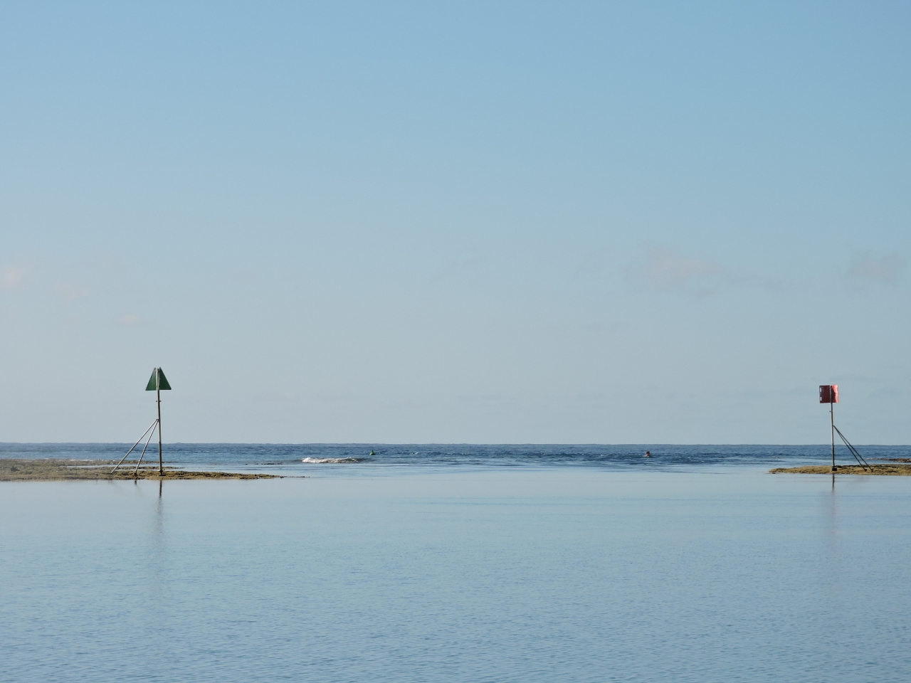
We went on a low-tide dinghy tour of the lagoon. The triangular buoy just beyond the reef marks a corner of the no-anchor zone for the lagoon, depicted on the Fitzroy Reef Site Management map. Anchoring is not allowed in certain areas of the Great Barrier Reef to protect sensitive coral.
|
 |
9/10/2014: Entrance beacons
Position: -23°36.64'S, 152°9.41'E
The entrance channel looks even more narrow at low tide. The current is ebbing at several knots in this video we shot while running the dinghy through the entrance shortly after low tide. We left a couple of days later about three hours after low tide, and the current was flooding at several knots. So low-water slack probably occurs about an hour or two after low water. And high water slack seems to occur about an hour after high water.
|
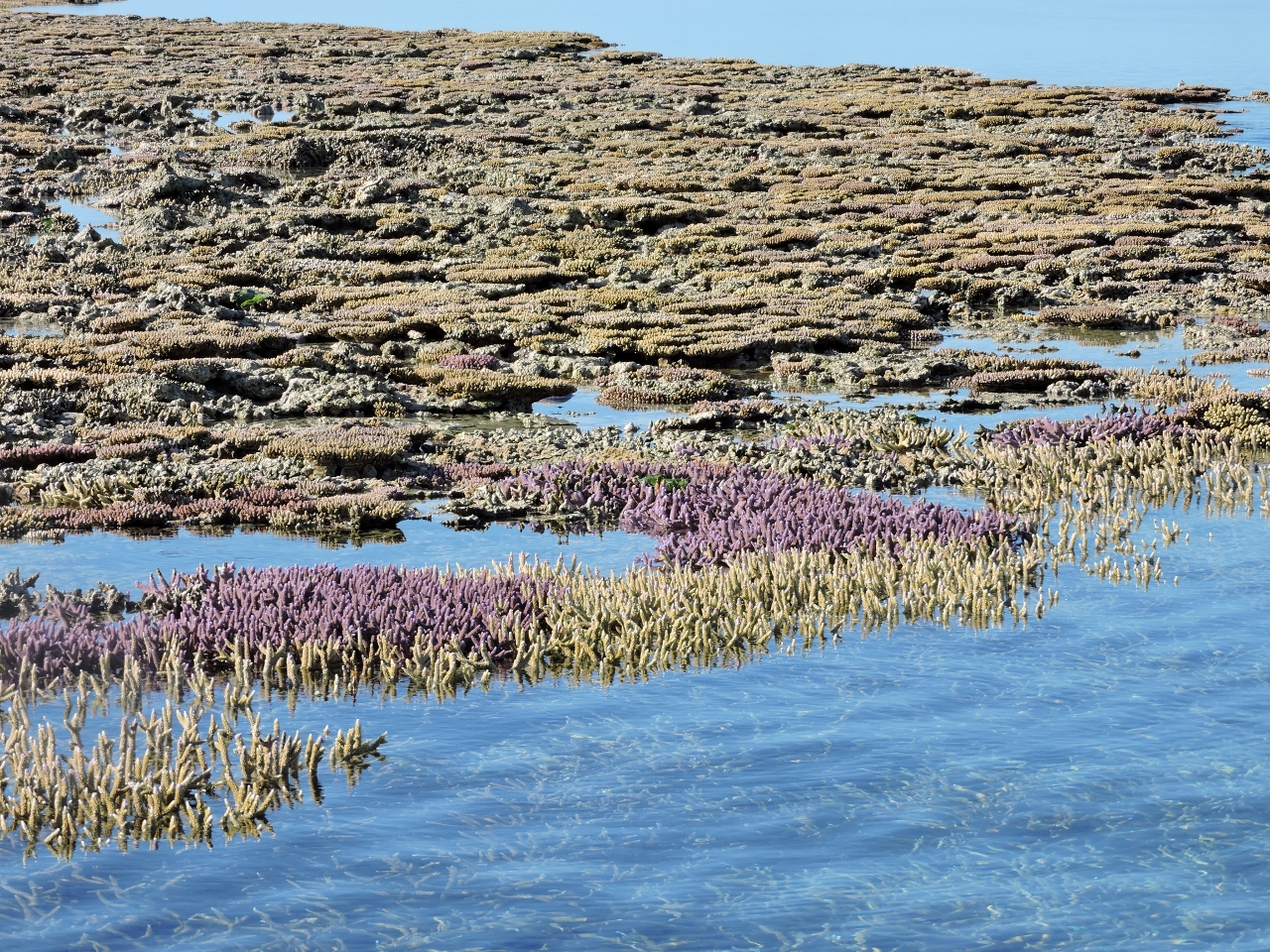 |
9/10/2014: Coral
Position: -23°36.61'S, 152°9.49'E
The coral inside the lagoon is extensive, healthy and vibrant in color. We just have to dive here.
|
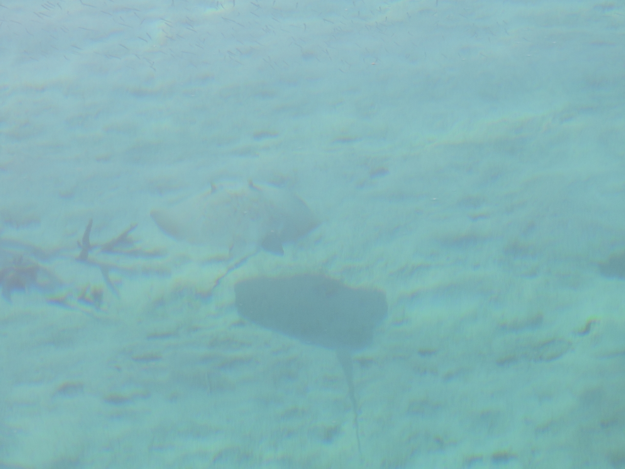 |
9/10/2014: Stingray
Position: -23°36.99'S, 152°10.17'E
Several stingrays were in the shallows at the south end of the lagoon.
|
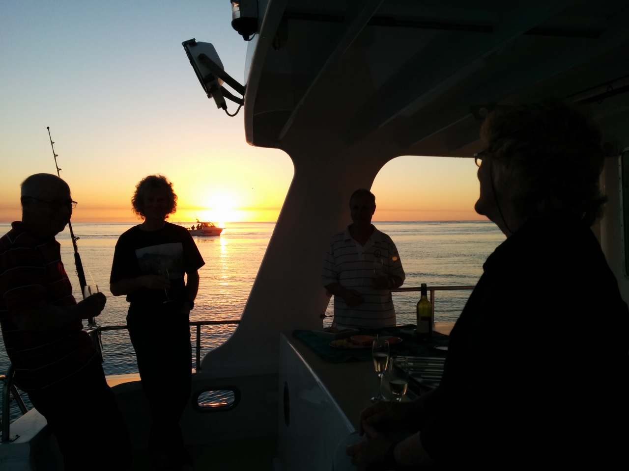 |
9/10/2014: Sunset
Position: -23°36.76'S, 152°9.61'E
We had a great time over sunset drinks on Rous Explorer. In the background is one of the dozen or so small recreational fishboats that arrived near dusk and also anchored for the night. The smaller boats seem to only make the two-hour run out from the mainland on glass-smooth nights, and on windier nights hardly any come.
|
.web.jpg) |
9/11/2014: Diving Fitzroy Lagoon
Position: -23°36.97'S, 152°9.19'E
Following Neville Coleman's advice in Dive Sites of the Great Barrier Reef, we looked along the north side of the reef yesterday for good dive sites, but couldn't find anything that looked better than what we'd seen from above the water inside the lagoon, so we decided to dive that spot. We tied the dinghy off to the northernmost of two moorings inside the no-anchor zone and dove an adjacent bommie.
|
.web.jpg) |
9/11/2014: Plate coral
Position: -23°36.97'S, 152°9.19'E
The hard coral life throughout the dive was impressive. In several areas, plate coral grew in thick layers along the reef wall. The reef fish also were beautiful, but perhaps not as plentiful as protected areas.
|
.web.jpg) |
9/11/2014: Staghorn coral
Position: -23°36.97'S, 152°9.19'E
Among the most beautiful aspects of the dive was the huge stands of staghorn coral, many with vibrant blue tips--we could see these through the water yesterday.
|
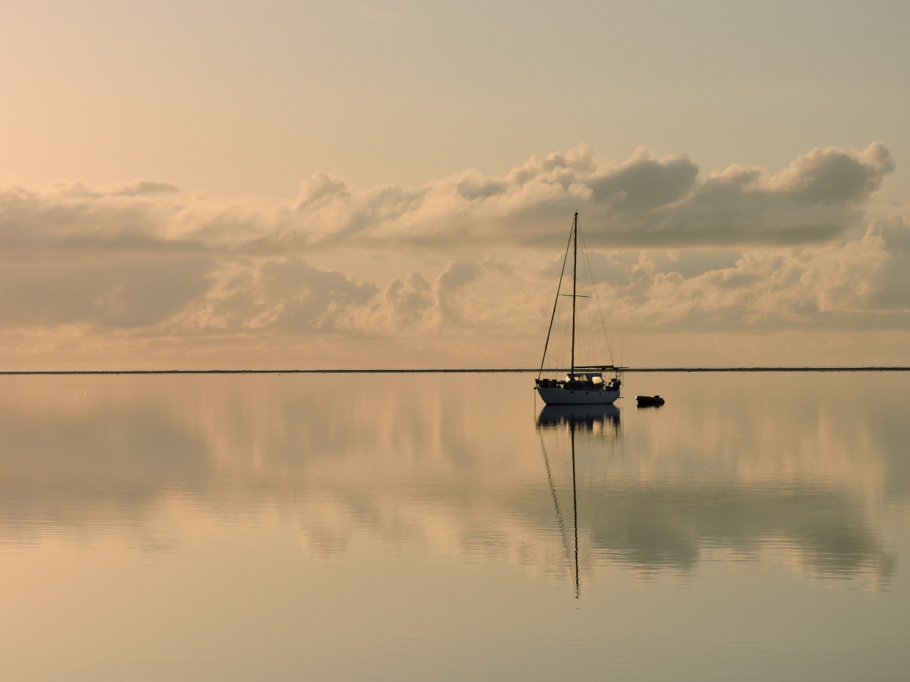 |
9/12/2014: Morning calm
Position: -23°36.87'S, 152°9.66'E
Winds have been light the past few days, but conditions are incredibly calm this morning.
|
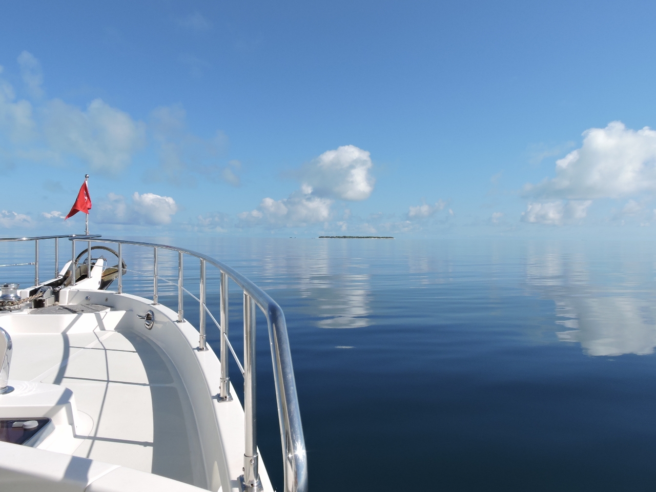 |
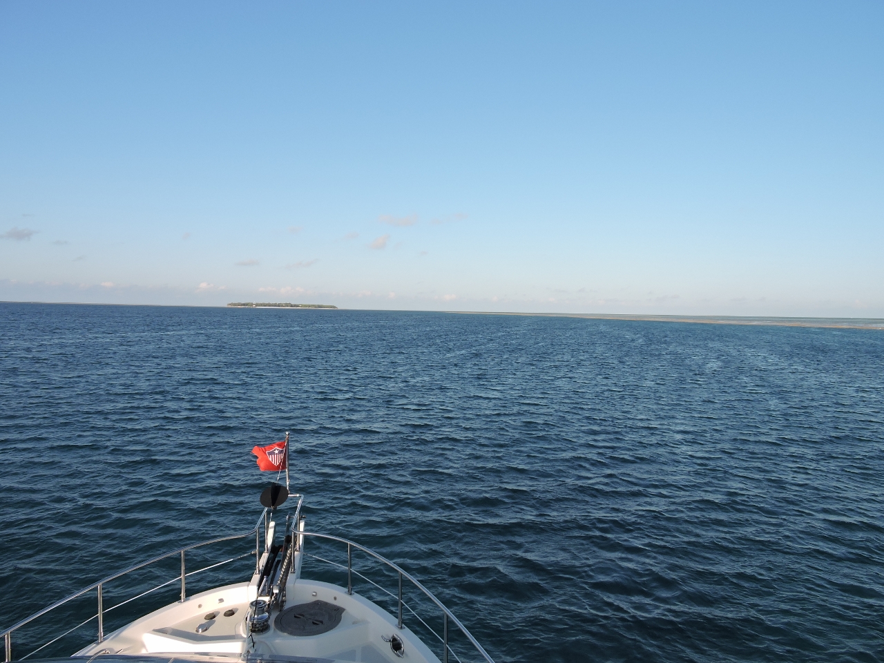
9/12/2014: Heron Island
Position: -23°28.41'S, 151°56.14'E
Heron Island is visible in the distance as we enter the channel between Wistari and Heron Reefs. The channel was much wider than we'd expected, and an easy run.
|
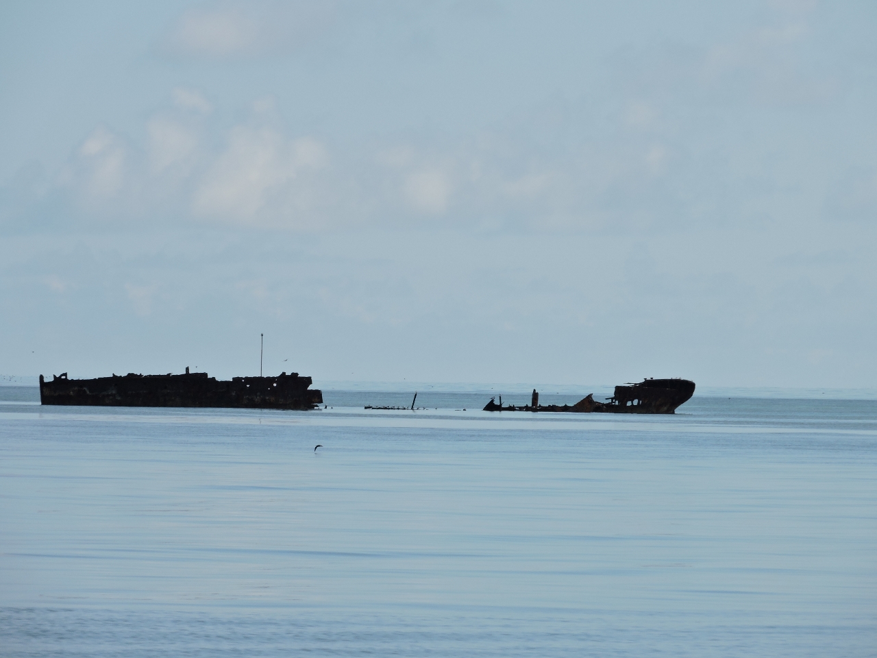 |
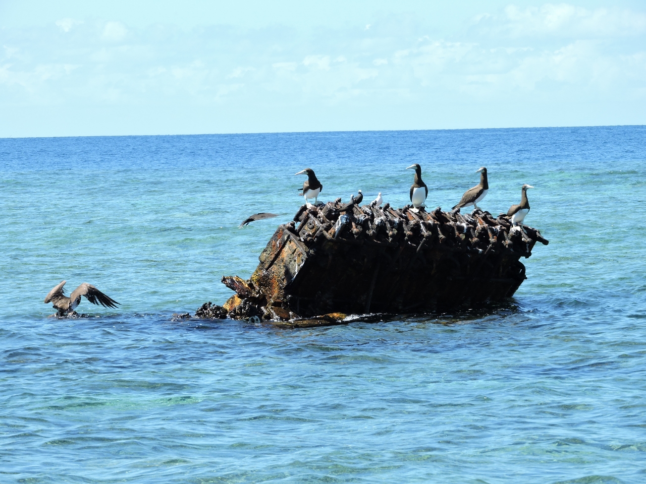
9/12/2014: HMAS Protector
Position: -23°27.01'S, 151°54.64'E
The wreck of the HMAS Protector off Heron Island. The 1880s gunboat was sunk here as a breakwater in the 1940s.
|
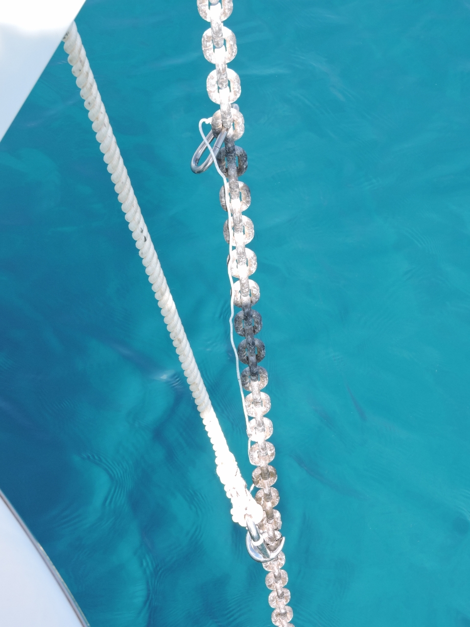 |
9/12/2014: Chain grab leash
Position: -23°27.07'S, 151°53.23'E
We've lost two Ultra chain grabber now due to the snubber line parting: one at Aneityum in Vanuatu and the other a few weeks ago at Double Island Point. The Ultra chain grab is an excellent product, but expensive. So as a backup, we've bought two RWB Chain Claws, made here in Australia and about one third the price of the Ultra. And to hopefully avoid losing another should our snubber part again, we've added a small leash to the chain grabber, secured to the anchor chain with a stainless steel carabiner.
|
 |
9/12/2014: Heron Island anchorage
Position: -23°27.07'S, 151°53.24'E
Tim Green of Rous Explorer recommended this anchorage, but cautioned it can get rolly in an easterly swell. Conditions are extremely calm now, with only a light east-to-southeasterly swell, so the anchorage is excellent. When winds later came up from the southeast, a slight swell rolled across the anchorage despite the protection from Wistari Reef and it was still quite comfortable. However, you'd not want to want anchor here in northerly winds.
|
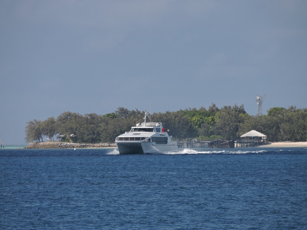 |
9/12/2014: Heron Islander
Position: -23°27.07'S, 151°53.24'E
The high-speed catamaran Heron Islander pulling off the dock at the Heron Island Resort.
|
.web.jpg) |
9/12/2014: Heron Bommie
Position: -23°26.41'S, 151°54.13'E
Heron Island has a number of good dives site, mostly around Heron Reef with a few on Wistari Reef, and all with buoys. Herron Bommie is the Heron Island Resort's signature dive site and we agree it's well worth doing. This is the substantial anchor for the buoy there.
|
.web.jpg) |
9/12/2014: Seascape
Position: -23°26.41'S, 151°54.13'E
Six large coral heads make up Herron Bommie. The seascape there was fantastic, with complex shapes and arches throughout and lots of fish and coral life. There was a bit more than a knot of current throughout the dive, which is manageable, but a bit tiring.
|
.web.jpg) |
9/12/2014: Turtle
Position: -23°26.41'S, 151°54.13'E
Heron Island is a Green Turtle hatching ground, and turtles are common in the area. We saw two perched on the reef, and another swimming free.
|
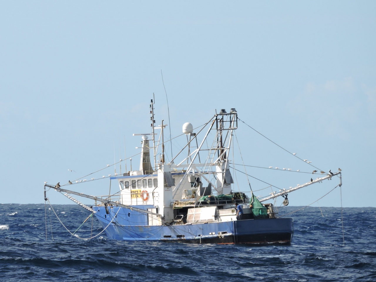 |
9/13/2014: Fishing vessel
Position: -22°58.27'S, 152°16.12'E
We left Heron Island about 3am to make the 85-mile run to the Swain Reefs and arrive with good daylight to navigate through the reefs and into an anchorage. What made this fishboat sighting unusual is that it's anchored in 495 feet of water, in a medium-sized swell.
|
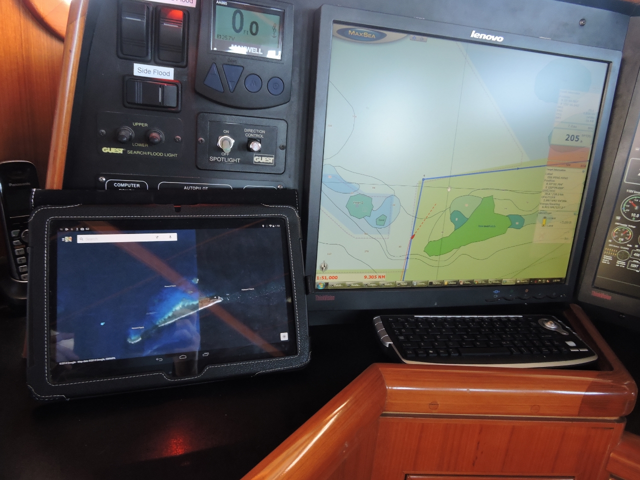 |
9/13/2014: Satellite imagery
Position: -22°23.57'S, 152°34.82'E
We've been navigating the Swains using a combination of the chartplotter and a tablet app that shows our position on the satellite imagery. Both C-Map and Navionics charts show only a rough approximation of the reefs and their location. The satellite imagery often is more helpful.
|
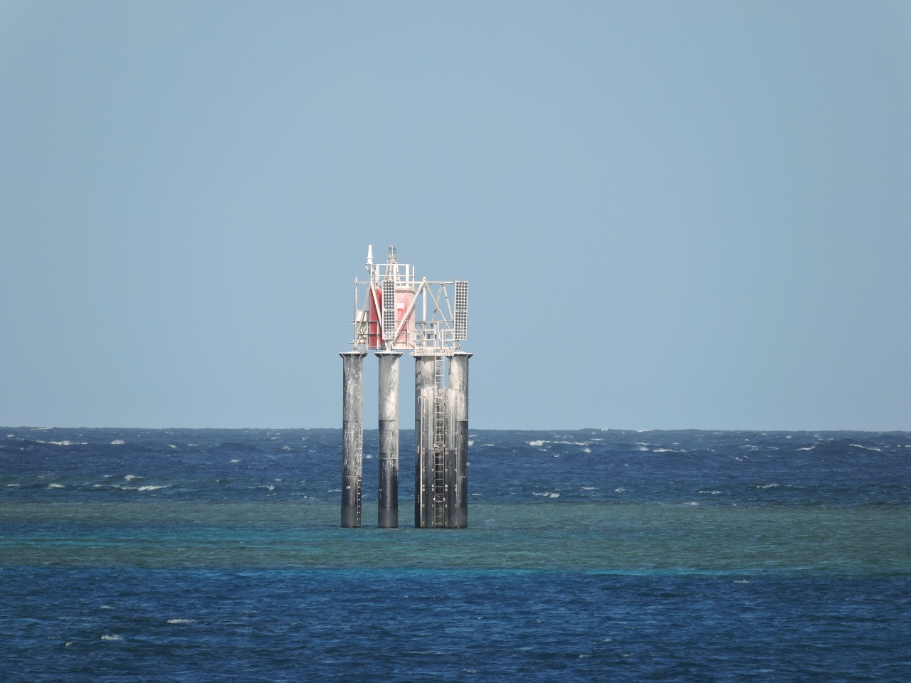 |
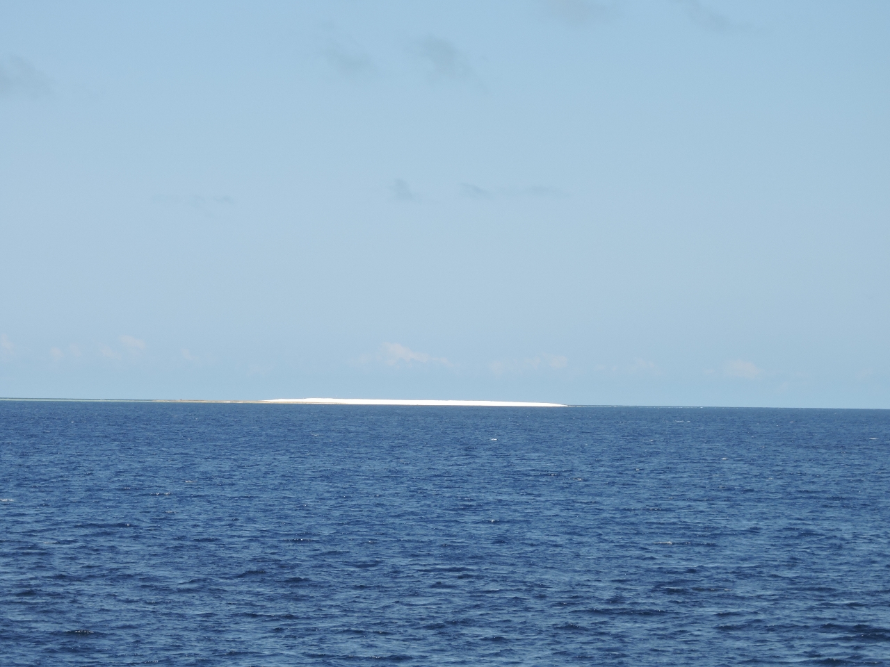
9/13/2014: Beacon
Position: -22°19.78'S, 152°43.32'E
This beacon to our east marks the south end of Swain Reefs. Other than tiny Hixson Cay, it's the only thing above sea level for miles in any direction.
|
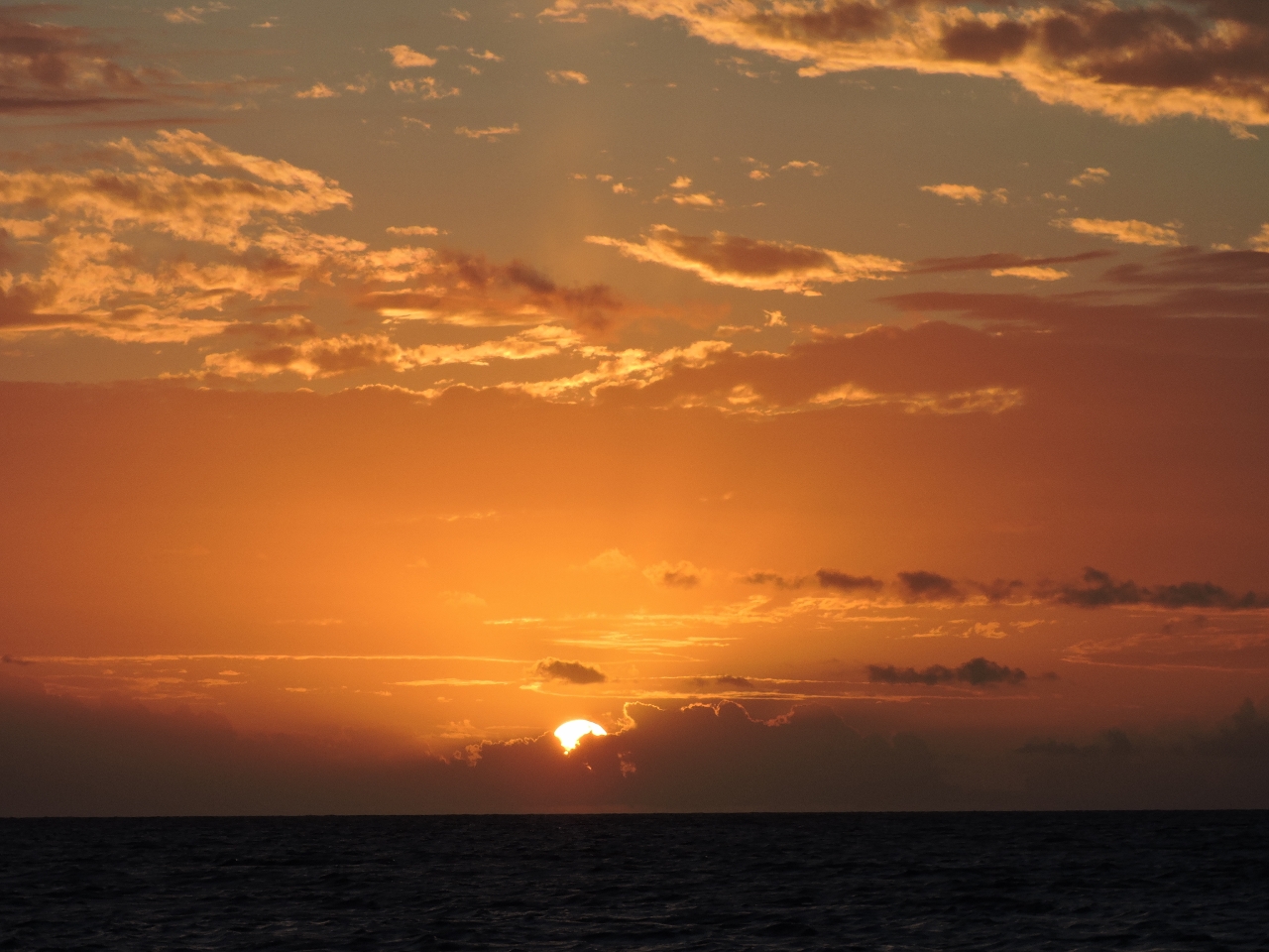 |
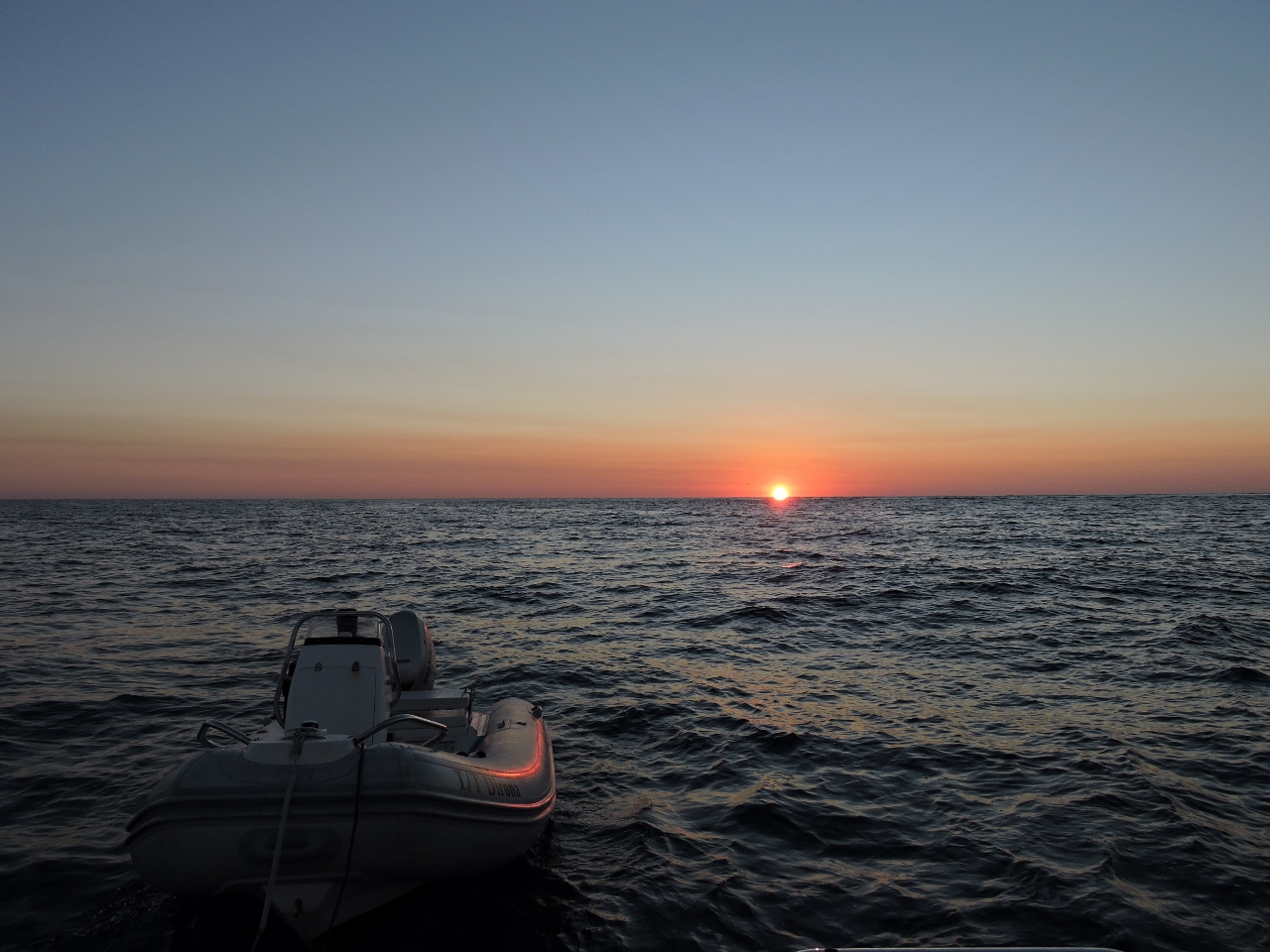
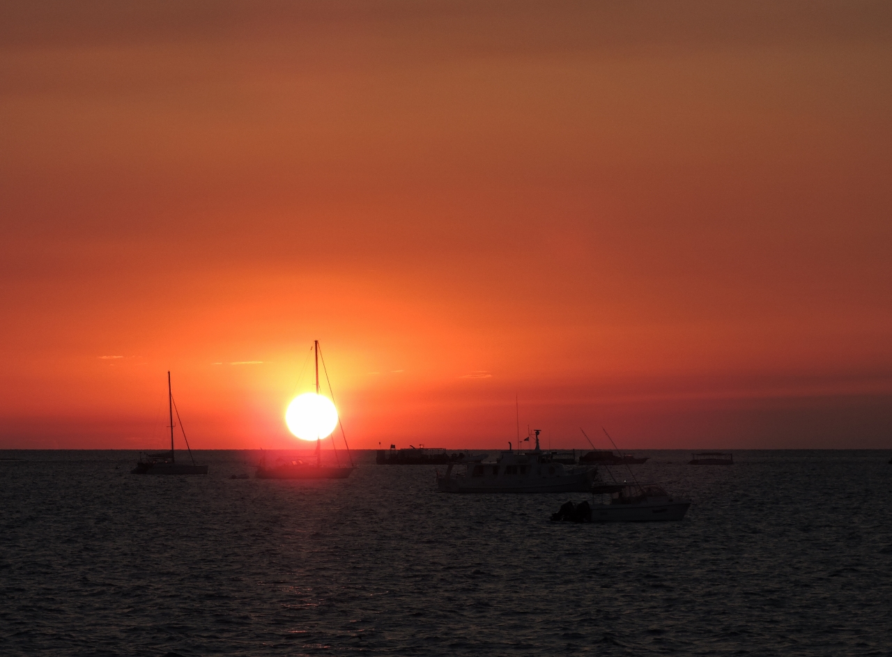
9/13/2014: Sunset
Position: -22°19.78'S, 152°43.32'E
The sunsets in the Swains are like those at sea--spectacular.
|
 |
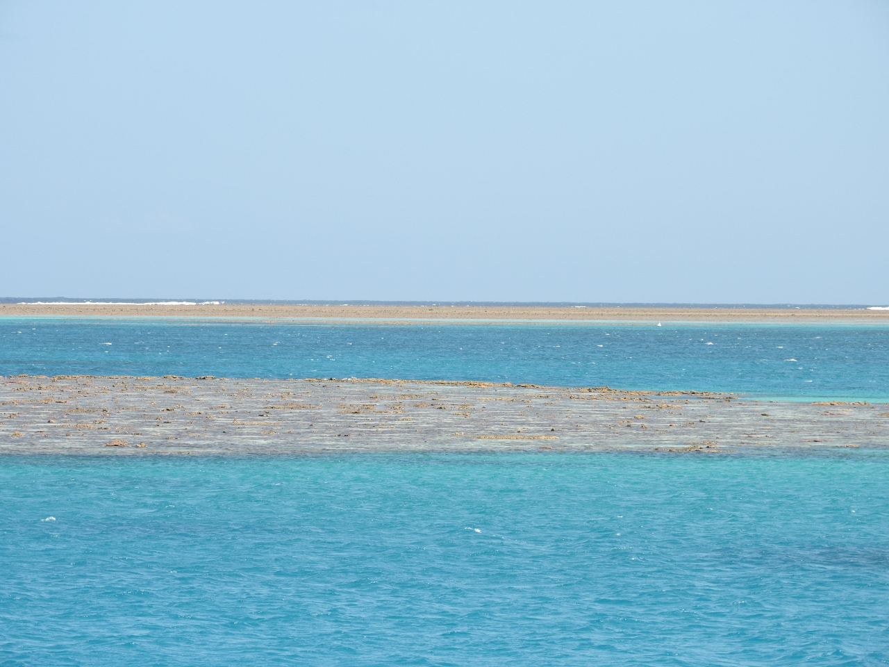
9/14/2014: Sanctuary Reef
Position: -22°3.68'S, 152°40.49'E
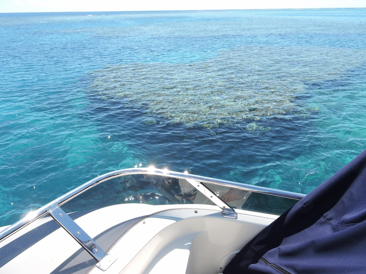
This is the level of detail the charts have for most of the reefs--just about nothing. We combine satellite imagery, moving very slowly, operating from high up in the fly bridge, wearing polarized sun glasses to reduce glare off the water surface, and choosing the best sun position in the sky to navigate into the lagoons safely. The sun straight above is best but behind also works pretty well. The hidden danger of the sun behind you is, if you find the anchorage unsuitable and decide it is safer to leave, the the sun will be in front which can make for difficult glare. We saw a minimum depth of about 27' entering Sanctuary Reef. Once inside, we considered the area east of the channel, but couldn't find the swing room we wanted. We found a better anchorage to the west where we had the space in all directions for the rode we wanted to use.
|
 |
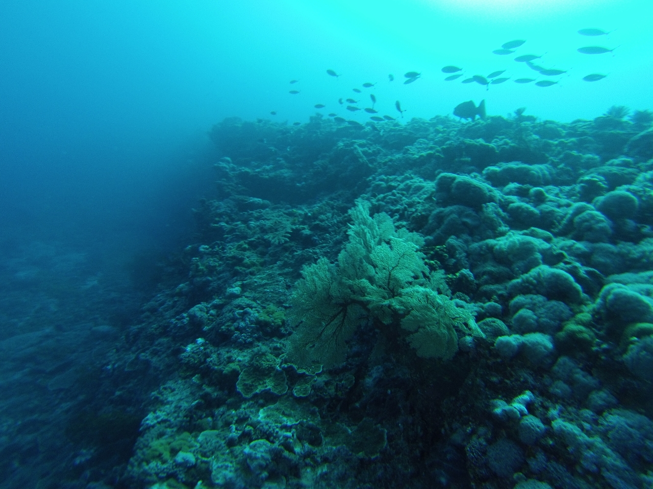
9/15/2014: Seascape
Position: -22°3.53'S, 152°40.38'E
We dove Sanctuary Reef off the south side of a small boat channel south of the entry channel. The seascape here was surprisingly complex, with narrow swim-through channels lined with coral. We loved it.
|
.web.jpg) |
9/15/2014: Sea fan
Position: -22°3.53'S, 152°40.38'E
The coral life at Sanctuary Reef was healthy and diverse. Besides a variety of hard corals, we saw sea fans, large leathers and pulsing xenia.
|
_cropped.web.jpg) |
9/15/2014: Giant clam
Position: -22°3.53'S, 152°40.38'E
We saw several giant clams.
|
.web.jpg) |
9/15/2014: Fish cloud
Position: -22°3.53'S, 152°40.38'E
At one point a massive school of thousands of silvery fish surrounded us.
|
 |
9/15/2014: Nudibranch
Position: -22°3.53'S, 152°40.38'E
And we saw a Nudibranch, our favourite underwater creature. This one looks like a Heron Ardeadoris Egretta..
|
 |
9/15/2014: Coastwatch
Position: -22°3.68'S, 152°40.49'E
Australia Customs Coastwatch monitors the Australia coastline, particularly for illegal fishing and asylum-seekers. We had our first encounter with Coastwatch while in the Swains, and saw their aircraft several times during our stay. In Messina News, Heather Campbell mentioned several Coastwatch interrogations as they boated the Australia coast, and joked that the detailed questions included their underwear size. Coastwatch did radio us, but only wanted to know our last and next port of call, and our home port. Based upon our travels so far, it's an unusual investment in national security. But every country has different focuses and concerns, and it's really not much of an imposition
|
 |
9/16/2014: Leaving Sanctuary Reef
Position: -22°3.64'S, 152°40.58'E
We prefer to navigate in and out of the reefs close to midday when the light is best to see the reefs. Here we are leaving Sanctuary Reef--the light green sections are shallower and need to be avoided.
|
 |
9/16/2014: Sanctuary Reef channel
Position: -22°3.54'S, 152°40.60'E
The channel into the anchorage at Sanctuary Reef had a least depth of about 25', but was narrow. You can see how close we needed to get to the sides on the way through.
|
 |
9/16/2014: Swalong
Position: -22°1.62'S, 152°37.14'E
The main engine from the Taiwanese fishing vessel Swalong on Horseshoe Reef. The wreck was more intact, and a breeding ground for birds, until a 1993 cyclone destroyed it. At high tide, we had just enough water to reach the wreck by dinghy from inside the reef.
|
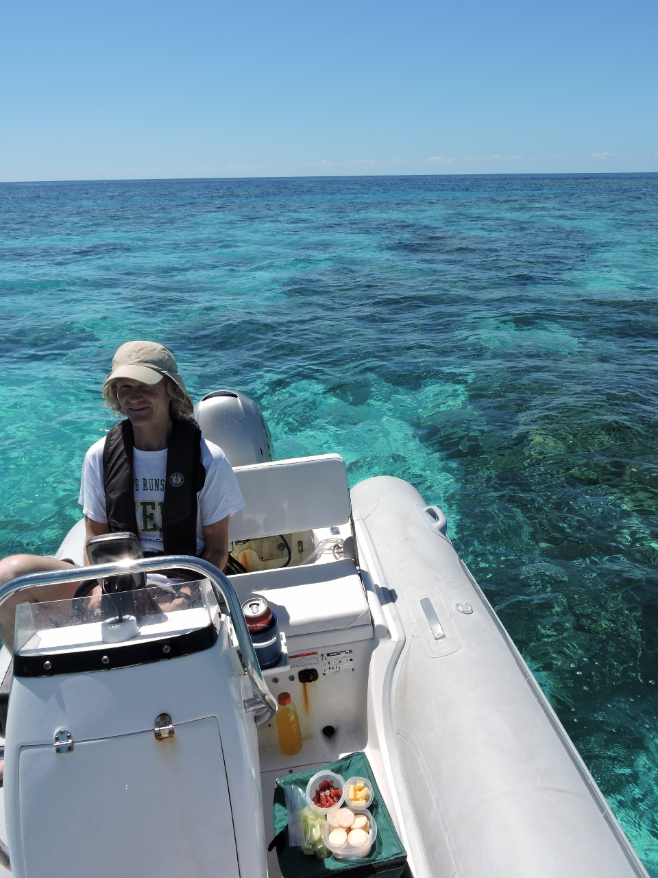 |
9/16/2014: Lunch
Position: -22°1.40'S, 152°36.96'E
We anchored the dinghy in a sandy patch inside a small lagoon for lunch afloat. We won't be having lunch ashore for a while--the Swains have little land, and most is protected with no shore access allowed.
|
 |
9/17/2014: Ready to dive
Position: -22°1.33'S, 152°37.01'E
We'd checked out a couple of possible dive sites yesterday--one along the southeast outer reef and the other at the northeast corner. The northeast corner looked a little more sheltered and easier to anchor the dinghy, so we dove there today. At 74F, the water temperature is too cold for our 3mm wetsuits, so we're still wearing our drysuits. We're also wearing hoods and gloves, but less for warmth and more for protection against Australia's deadly Irukandi jellyfish.
|
 |
9/17/2014: Diving Horseshoe Reef
Position: -22°1.33'S, 152°37.01'E
The dive at Horseshoe Reef was awesome--the best so far. We started out swimming through coral channels encrusted with hard coral, swam over a forest of staghorn coral, and then worked along a 60-foot wall layered with coral.
|
.web.jpg) |
9/17/2014: Tunicate
Position: -22°1.33'S, 152°37.01'E
We saw several Tunicates, or Sea Squirts, while diving in the Swains. This bulbous one is the solitary tunicate, or Polycarpa aurata.
|
 |
9/17/2014: Blue Lion Reef
Position: -21°48.94'S, 152°37.70'E
At anchor in Blue Lion Reef--an excellent recommendation from Benn Hardie of MV Tidahapah. We saw about 20' minimum depth entering the reef and found it much easier to navigate through and anchor in than Sanctuary Reef. Unlike the reefs we've been to so far, we were able to anchor quite close to the reef edge and from the flybridge watch the waves crash in.
|
 |
9/17/2014: Lunch
Position: -21°48.85'S, 152°37.95'E
A late lunch drifting across the reef.
|
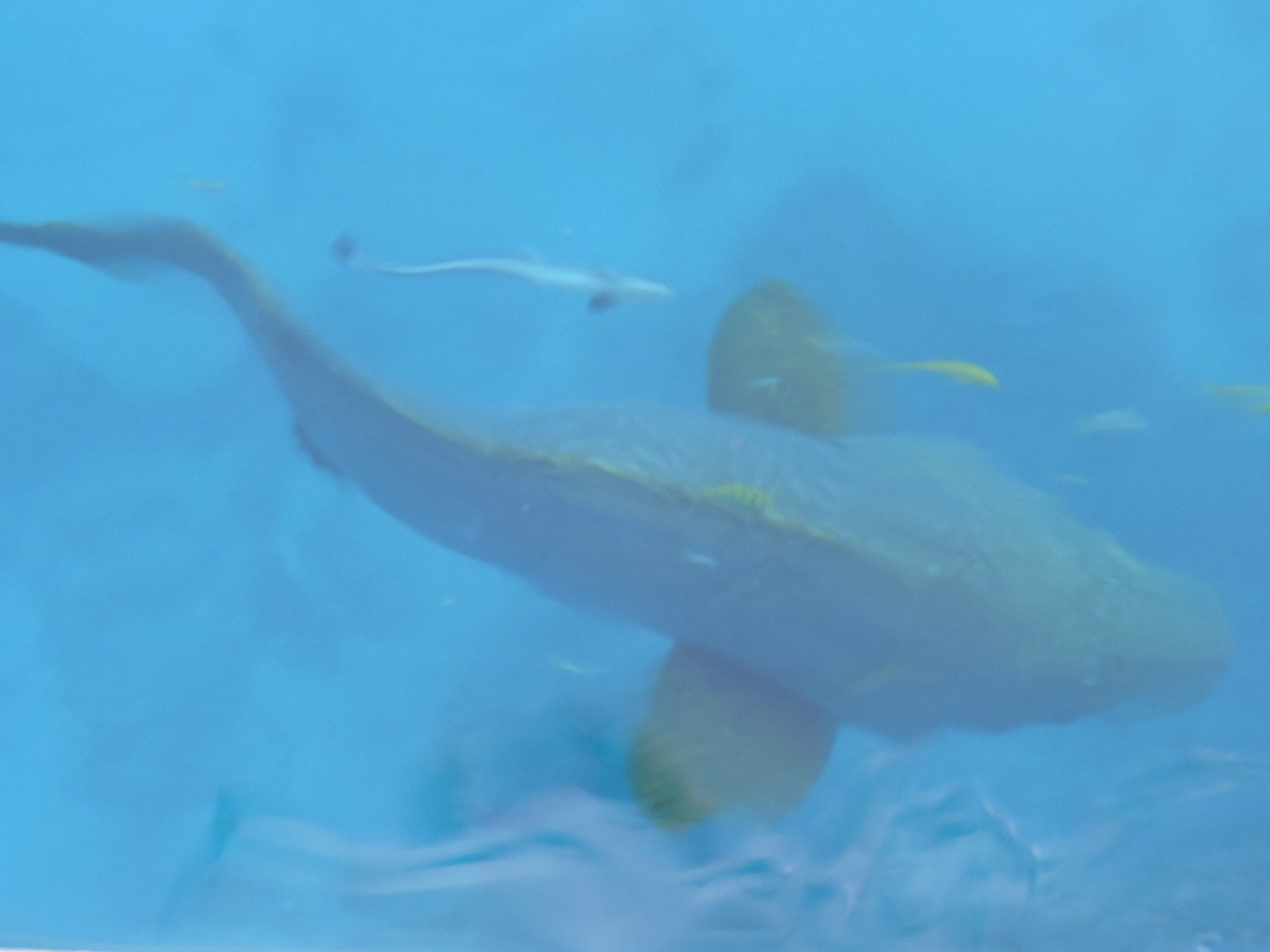 |
9/17/2014: Grouper
Position: -21°48.94'S, 152°37.70'E
The entire time we were anchored at Blue Lion two Giant Groupers, perhaps as big as six feet long, circled the boat. Each had an entourage of Remoras and other small fish. Spitfire caught sight of them once and just about blew a gasket--he wasn't sure if they were prey or a threat.
|
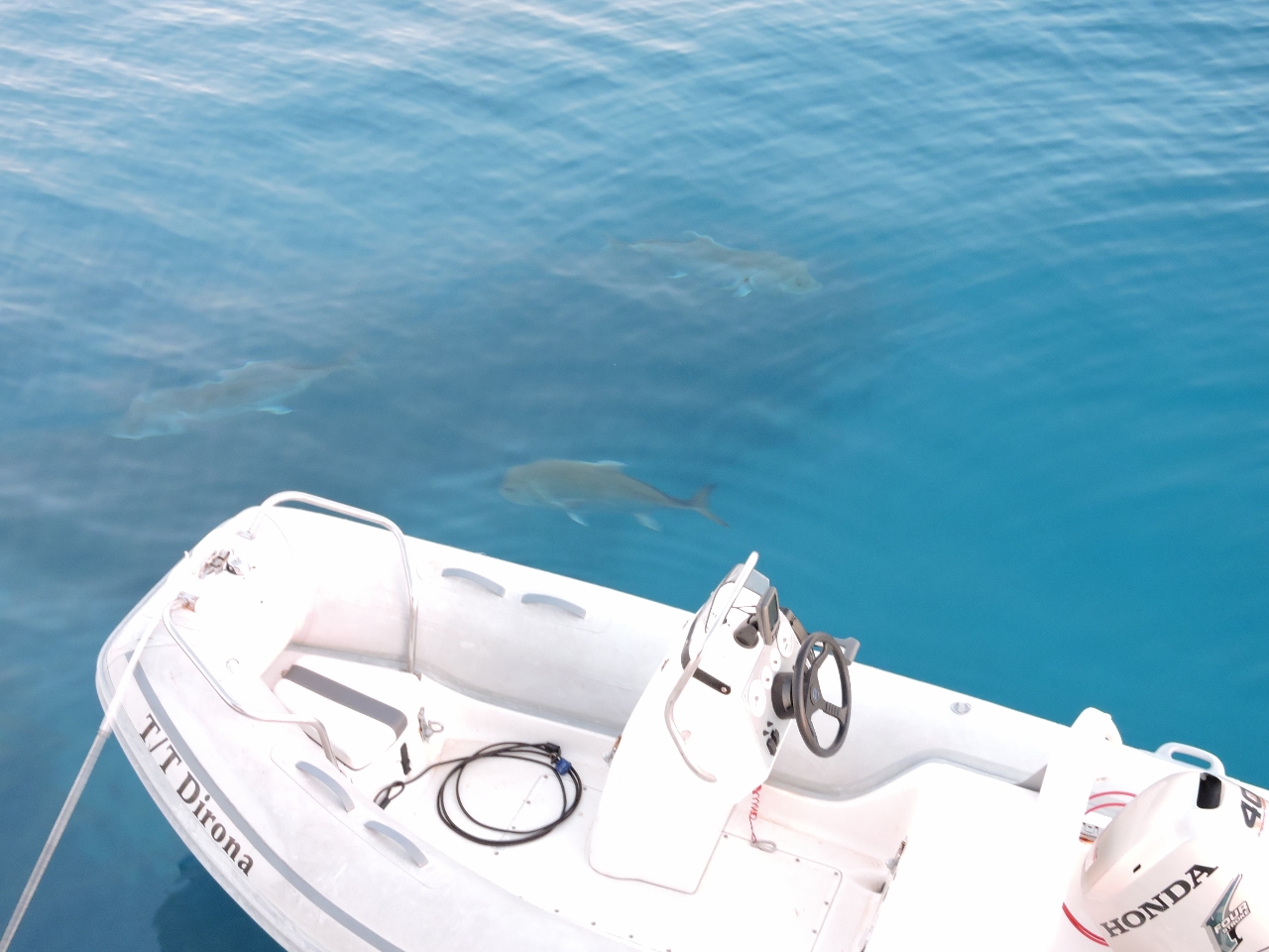 |
9/17/2014: Trevallys
Position: -21°48.94'S, 152°37.70'E
Along with the Giant Groupers, several Giant Trevallys also circled the boat. They're much smaller than the Groupers, but look more aggressive.
|
 |
9/17/2014: Sunset
Position: -21°48.94'S, 152°37.70'E
Another amazing Swain Reefs sunset.
|
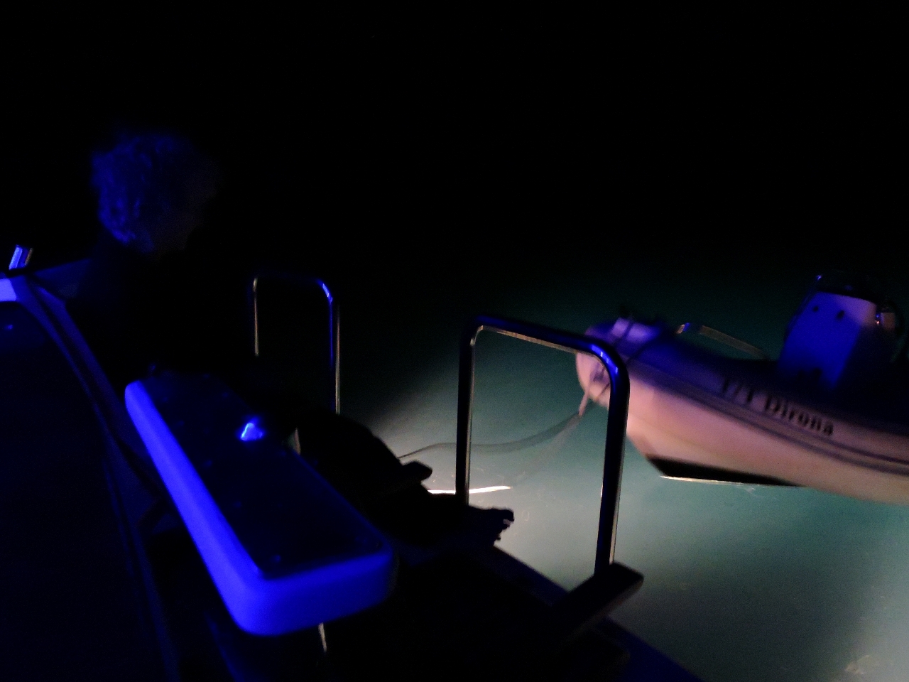 |
9/17/2014: Night life
Position: -21°48.94'S, 152°37.70'E
The waters in the Swain Reefs are packed with life. Each night we put on the underwater lights and watched the show from the swim platform. Besides the thousands of fish attracted to the light, we also saw several Cephalopods--one was over a foot long.
|
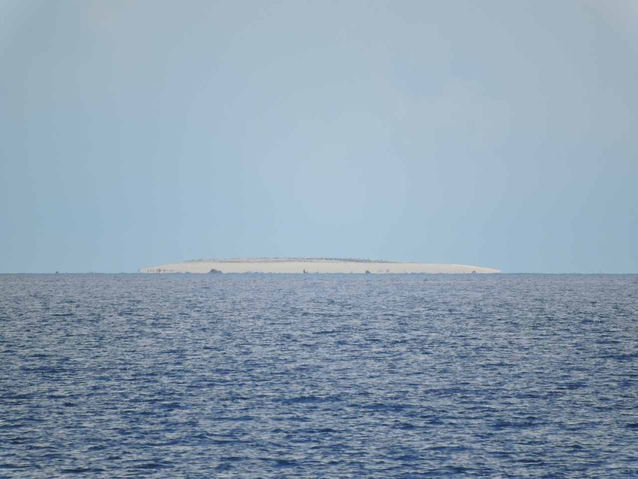 |
9/18/2014: Price Cay
Position: -21°47.37'S, 152°27.14'E
We passed tiny Price Cay this morning--it's only the third speck of land we've seen since arriving in the Swain Reefs.
|
 |
9/18/2014: Frigate Cay
Position: -21°44.42'S, 152°25.14'E
This was a big day for land sightings--two cays in one day. Both Price and Frigate Cays are protected--no access is allowed, even to the surrounding waters.
|
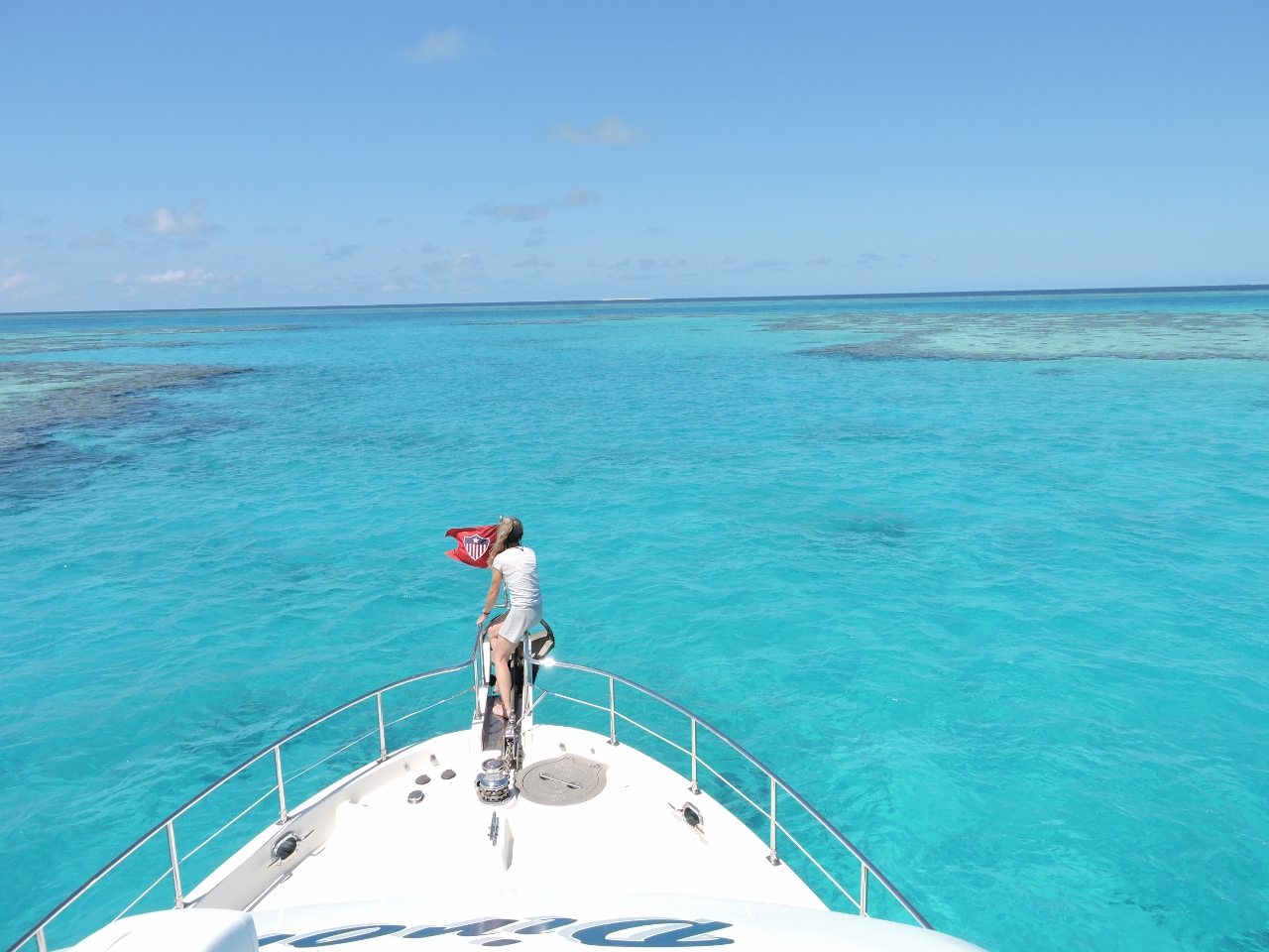 |
9/18/2014: Frigate Lagoon
Position: -21°42.19'S, 152°21.64'E
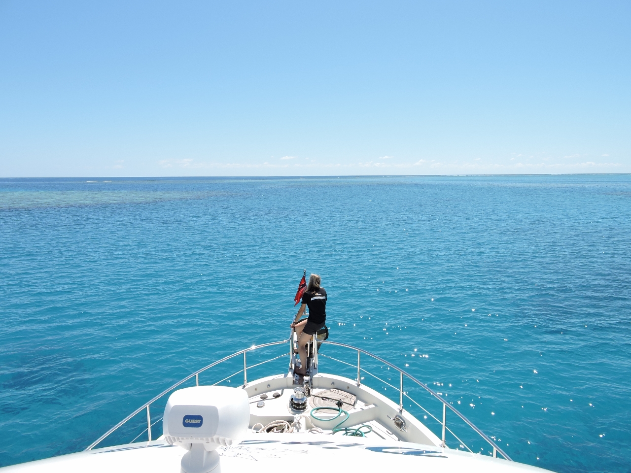
We saw a least depth of about 18' when entering Frigate Lagoon inside Isobel Bennett Reef. We could have easily anchored in the entrance channel, but opted to go a little further inside. In the photo, we are approaching the more narrow channel into the lagoon from the main entry channel. We always navigate through the reefs with Jennifer watching from the bow and James at the flybridge helm for maximum visibility to hazards, important given the absence of any chart coverage of the lagoons.
|
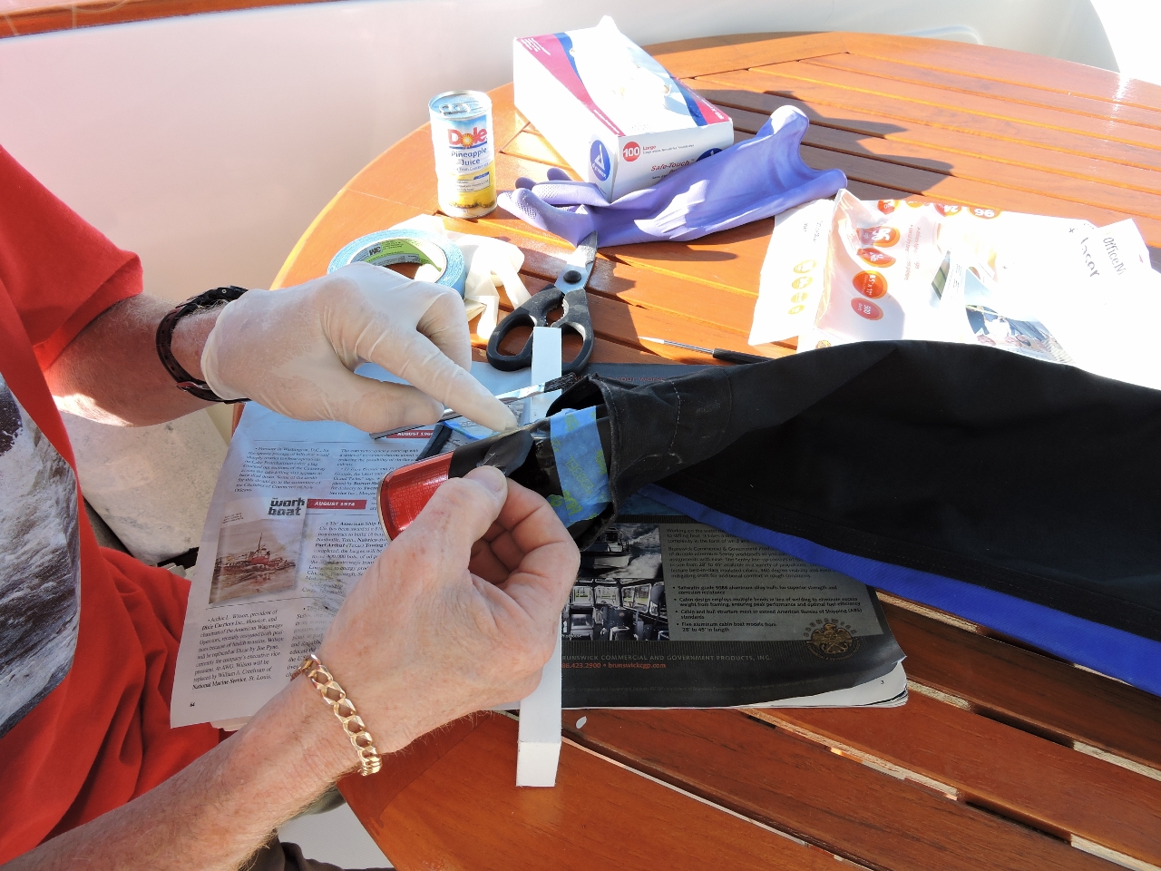 |
9/18/2014: Drysuit repair
Position: -21°42.22'S, 152°21.88'E
James' drysuit was leaking badly through a small tear in the latex wrist seal. We repaired it with a patch made from a bicycle tire inner tube glued on with Weldwood contact cement.
|
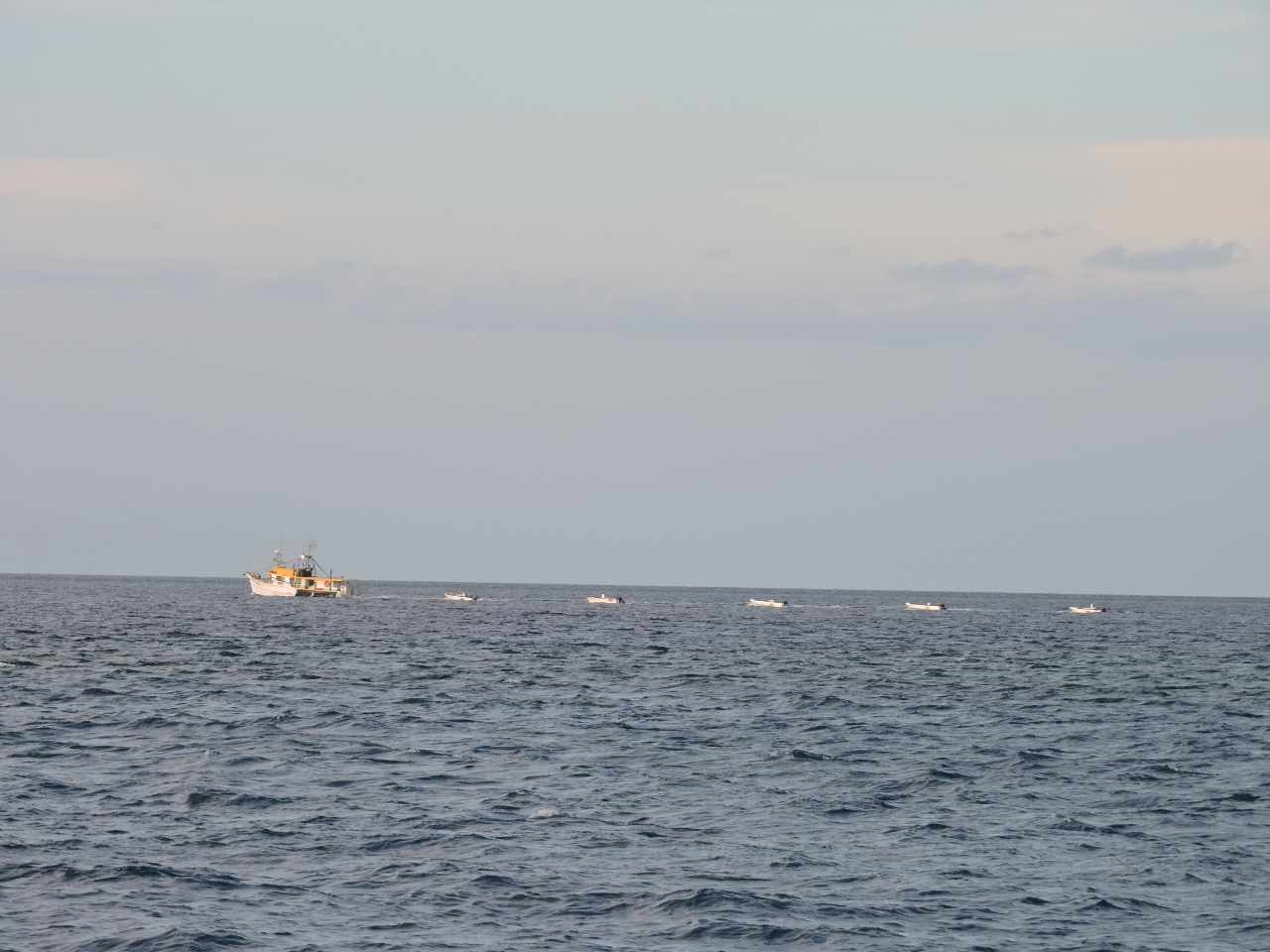 |
9/19/2014: Ducklings
Position: -21°41.27'S, 151°32.69'E
This commercial fishing vessel was anchored at Heralds Prong No. 2 reef when we arrived, with tenders spread about the area. The boat left early in the evening, trailing the tenders like ducklings. We chose the anchorage here partly to have an easy exit for a pre-dawn start on the 75-mile run to the Percy Islands the next day.
|