|
 |
Day 1: Penrose Island Marine Park |
|
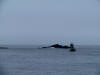 |
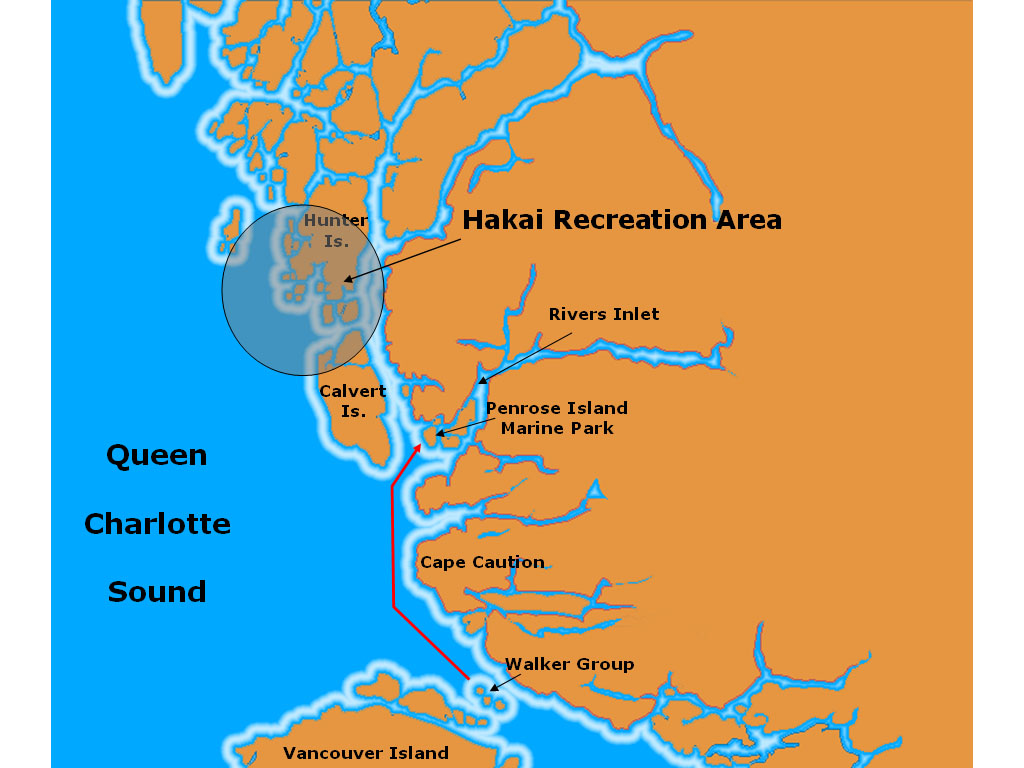
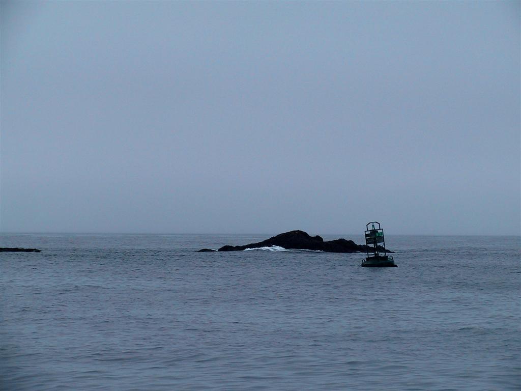
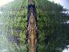
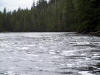
This is a rather desolate-looking navigation buoy in
Queen Charlotte Sound that we passed while heading north past Cape Caution
early on the first official day of the trip.
We anchored the night before in Walker Group Cove after topping off our fuel
and water in Port Hardy, and set off very early to cross
the sound before the winds came up later in the day. It is open
ocean to the west - if you head towards the background of this picture, the
first land you hit will be in Asia. It can get really nasty in Queen
Charlotte Sound when the wind picks up, especially during big winter gales.
|
|
 |
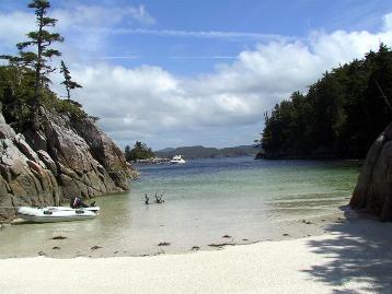
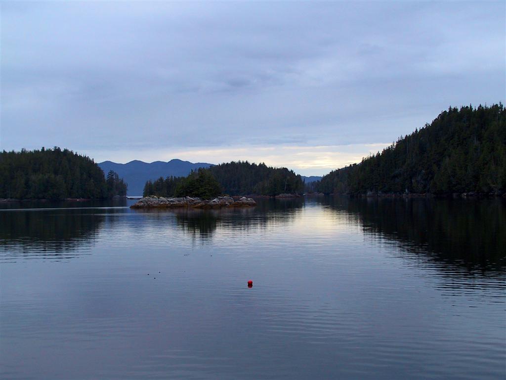
We anchored the first night north of Cape
Caution at the eastern side of Frigate Bay in Penrose Island Marine Park.
This is the view from our moorage. The more popular anchorage is at Fury
Island, but popular means crowded, so we opted for this spot, which we had
all to ourselves. |
|
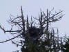 |
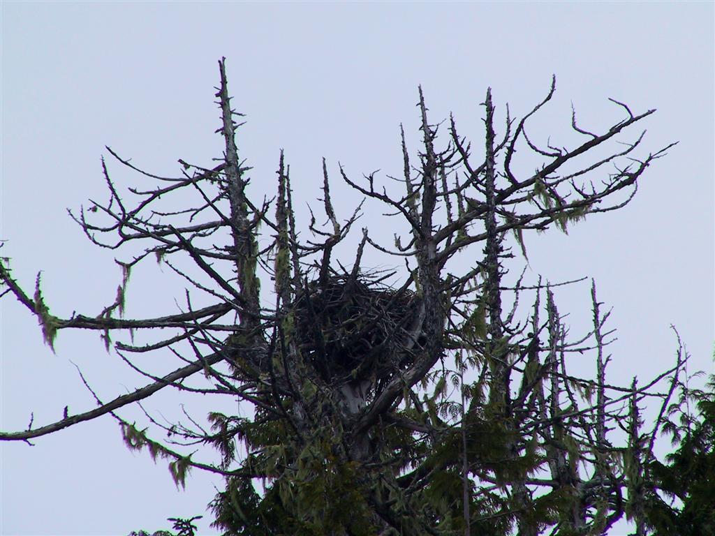
This is a large eagle's nest on Penrose Island.
Eagles typically use the same nest year after year, adding material each
season, which results in huge aeries that have been known to reach nine feet
across and twenty feet deep, weighing nearly two tons. While some have been
in use for upwards of fifty years, most only last about twenty, the host
tree eventually collapsing under the weight. |
|
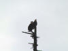 |
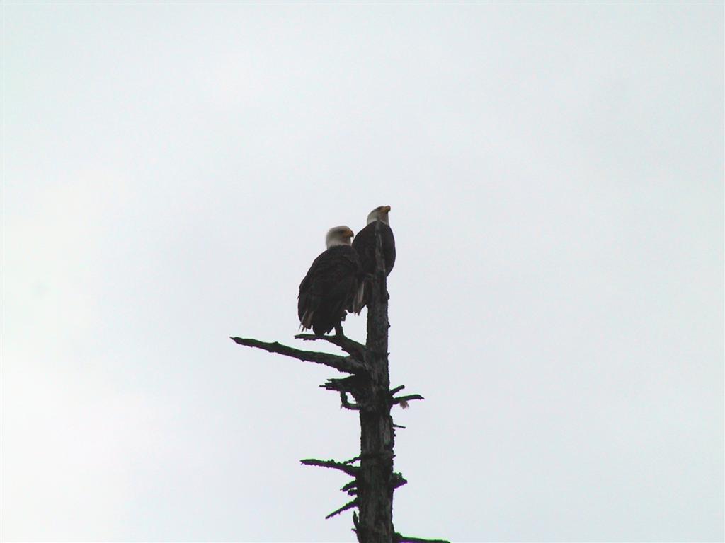
These two are most certainly the owners of the nest
picture above, perched on nearby tree. Eagles
form mating pairs that are believed to last throughout their lifetimes, and
usually stay in the same territory together. |
|
 |
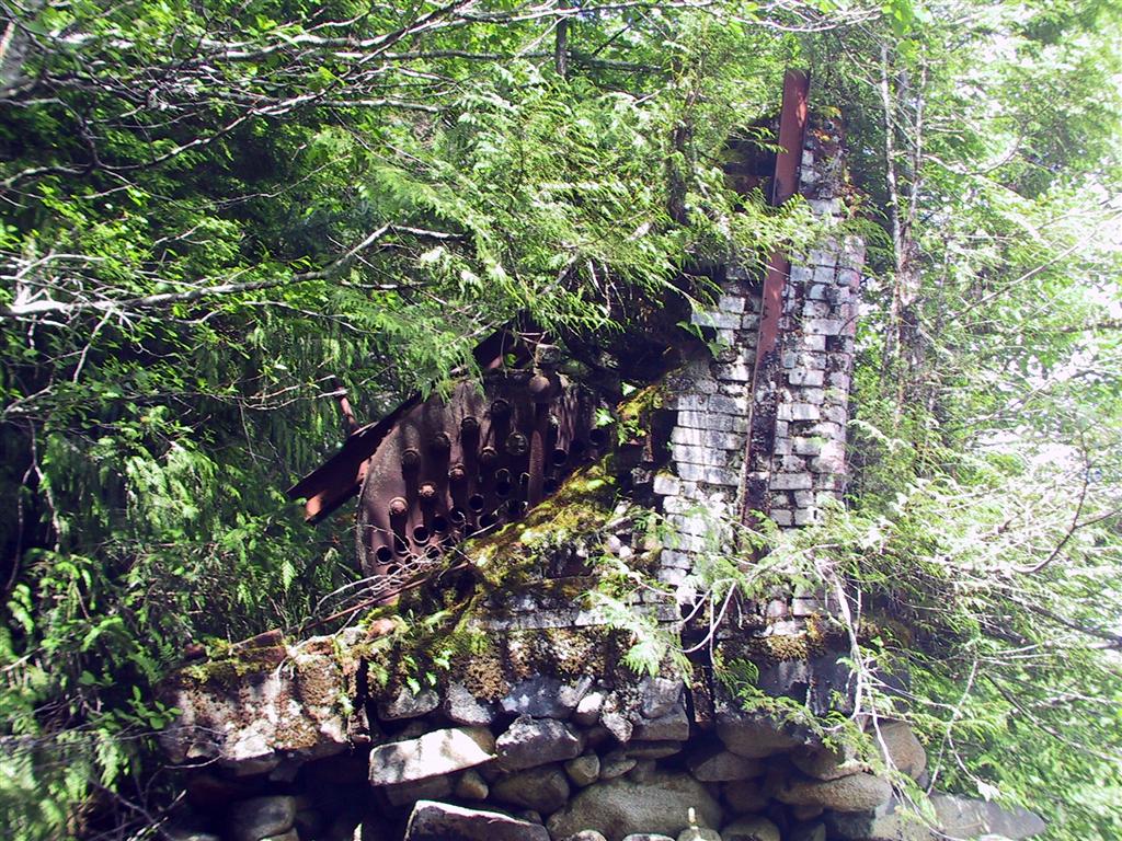
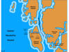
We took the dinghy around Penrose Island and up
into Darby Channel, looking for the cannery ruins which were shown on the
Coast Recreation Map for the
area (these make excellent maps to take along in the dinghy or for a good
large scale view of a region). The picture on the left is the remains of a
brick chimney and boiler. There were
many bits of machinery strewn along the shore also. We found a second ruins a
little further down, in a small indent off the main channel. All the
structures had collapsed, but were visible under the water. |
|
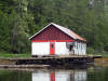 |
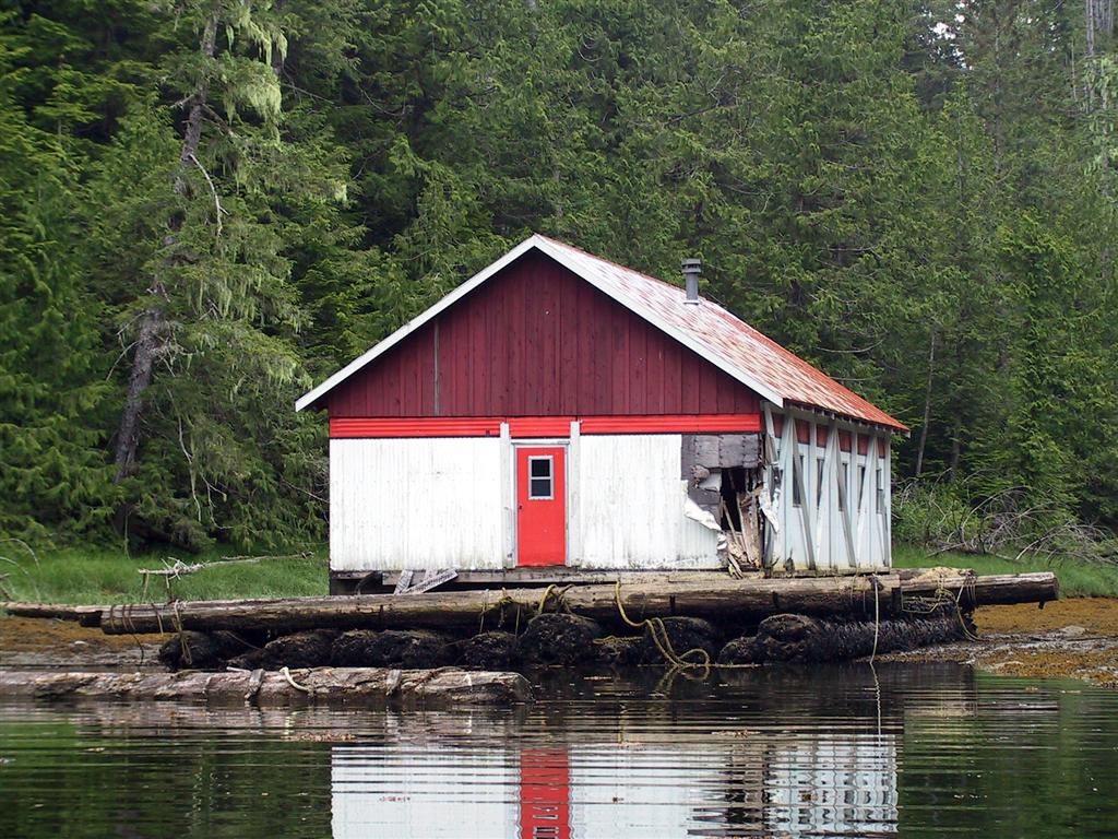
We stopped off in Dawson's Landing for fuel and
continued south into Rivers Inlet. We turned into a small bay for lunch and
later found this abandoned building on floats. The corner had been severely
damaged somehow, but were were intrigued so we went inside to investigate.
(If this were a horror movie, this would be the point when the audience says "Nooo
- don't go inside!") But it was completely empty and consisted of about a
dozen dorms with beds, closets etc. Quite spooky nonetheless. |
|
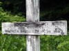 |
Near the abandoned bunkhouse was a small
graveyard. If you have read June Cameron's Shelter from the Storm,
this is the one she mentions in Rivers Inlet. Some of the grave markers were
quite old, while others were more recent, from the late 1980's. |
|
 |
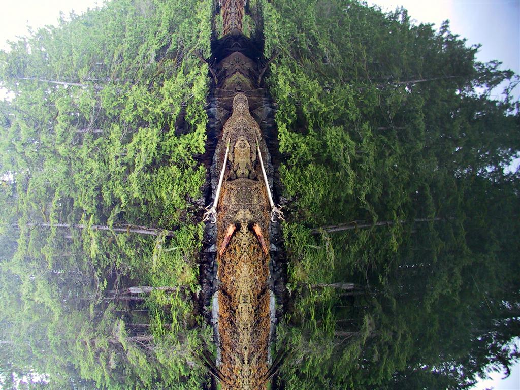
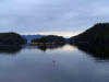
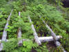
We returned back to our anchorage through Magee
Channel, which is extremely sheltered. The calm water and relatively high
tide resulted in some wonderful pictures where it is difficult to tell the
reflection from the real image. The picture at right is intentionally
sideways—it looks like a giant alien has nested onto the shore. |
|
 |
Day 2: Fish Trap Bay, Fish
Egg Inlet |
|
 |
The next night, we anchored in Fish Trap Bay, in
Fish Egg Inlet.
Oyster Bay is
the more popular spot, with small waterfalls at the far end, but they are
quite a distance from anywhere anchorable, and we anticipated a crowd,
judging by the two very large power boats that came out as we went in.
This is a shot from the boat, where you can see the fish
trap that gives the bay its name. Native peoples placed huge boulders across
the channel into a small shallow bay so that fish could enter at high tide,
but would be trapped there when the water receded. |
|
 |
After breakfast, we set
off for big dinghy exploration of Elizabeth Lagoon, quite a long way from
our anchorage, passing two sailboats that we saw near Dawson's Landing
yesterday. Joe's Cove, at the entrance to the lagoon, looks like a nice anchorage—there's a little sign on one of
the trees: JOES COVE and across the bay are the remains of a homesite,
pictured.
|
|
 |
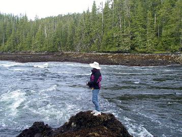
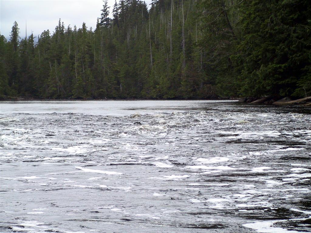
We went through the rapids
into Elizabeth Lagoon almost at slack and then toured the lagoon all the way to Sulphur Arm
— it was huge. Coming out, the rapids were visibly ebbing as
shown in the picture, so we lifted up motor and paddled out. It was easy
—
the rapids were not that big at all—not like at Tsibass
Lagoon up Drury Inlet.
|
|
 |
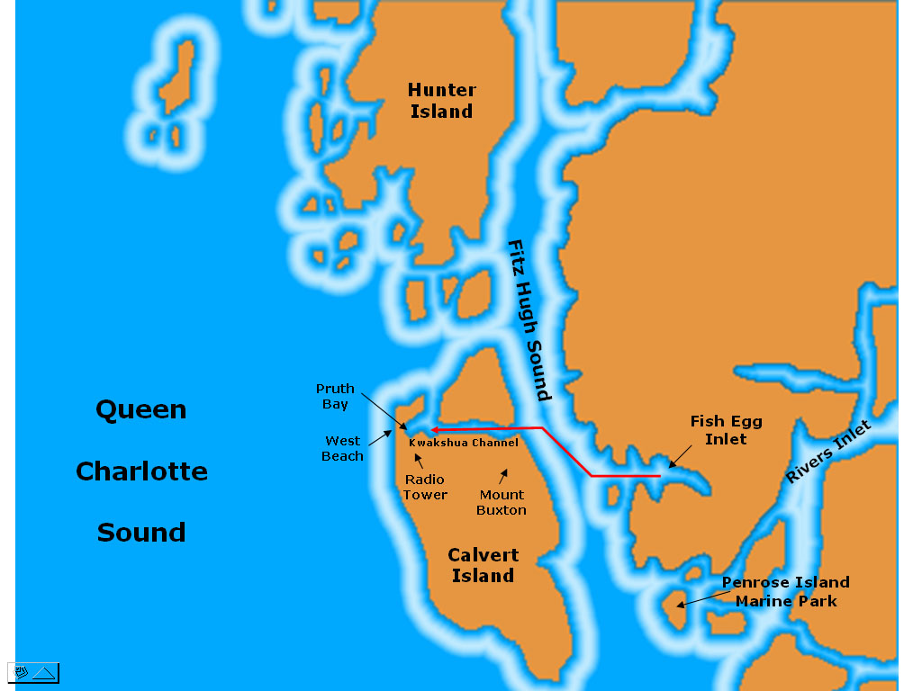
Day 3: Kwakshua Channel,
Calvert Island |
|
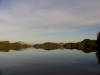 |
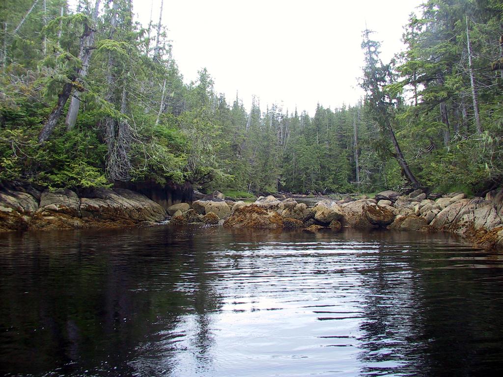
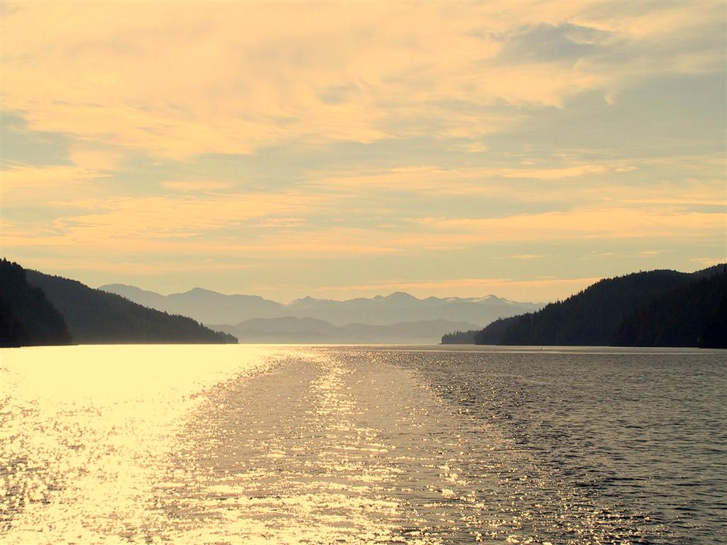
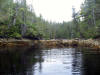
The following morning was clear and
mirror-calm. This is the view from within Fish Egg Inlet as we traveled west
towards Fitz Hugh Sound. |
|
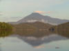 |
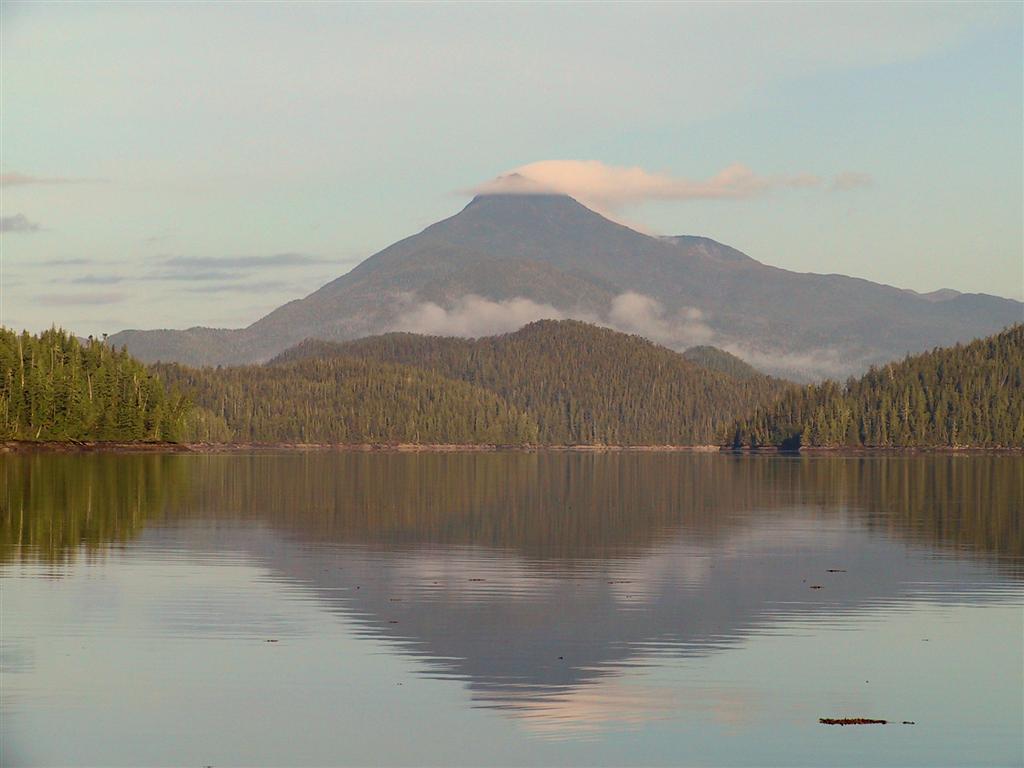
This is a closer view of Mount Buxton, on the
north end of Calvert Island, visible in the upper left of the previous
picture. I could never quite get a picture without a little bit of cloud
catching on it. |
|
 |
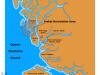
Looking behind us down Kwakshua Channel, the
rising sun cast a warm glow. We are now officially in the
Hakai
Luxvbalis Conservancy Area. The following pages describe our
trip through the park and detailed anchorage notes can be found in our
cruising guide, Cruising
the Secret Coast: Unexplored Anchorages on British Columbia's Inside Passage. |
|
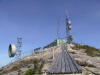 |
We anchored in an unnamed bay just to the west
of Keith Anchorage, then took the dinghy over to the latter to hike the
trail up to the microwave radio tower. Caretakers once lived
year round in this secluded bay to look after the site, but it is now
maintained remotely by helicopter. Iain Lawrence's Far-Away Places has a good map
of the trail. |
|
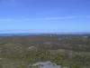 |
The tower site offers a panoramic view of the
park. This is the view looking west over the Pacific Ocean from the helicopter
pad behind the tower. |
|
 |
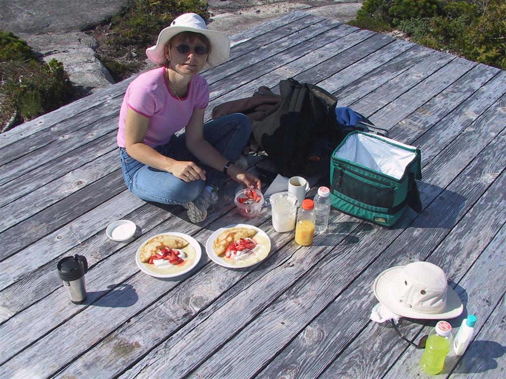
We had strawberry crepes (which I made on board
that morning and we carried up) for breakfast while sitting up on the
helicopter pad—very decadent, very Martha. :) The deer flies and no-see-ums were out
in force up here - good thing we had bug repellent with us, or it would have
been a very quick stop. |
|
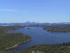 |
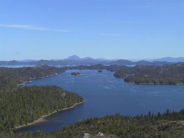
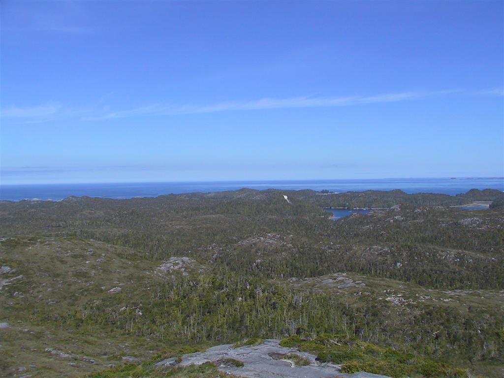
This is the killer view - looking north across
the park. We were very lucky to be there on such a clear day.
Mount Merritt on the northern half of Hunter Island is visible prominently
in the distance. If you have thumbed through the BC Marine Parks guide, you
will recognize this image from the Hakai Recreation Area page. |
|
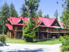 |
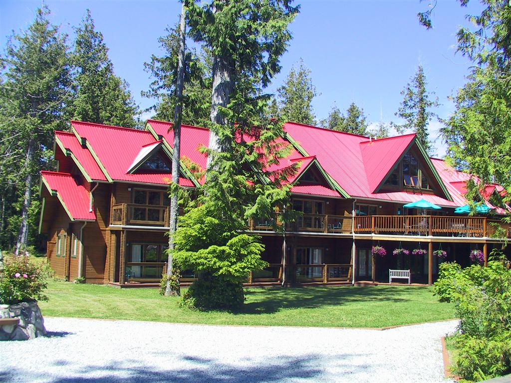
That afternoon, we took the dinghy to the Hakai
Beach Resort in Pruth Bay at the head of Kwakshua Channel to walk across to
the West Beach. The resort is quite impressive and they welcome boaters for
dinner so long as you make a reservation first. |
|
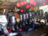 |
In the shed behind the resort, they had
literally dozens of Honda engines with their lower units removed. We weren't
sure if this was for maintenance or if customers had knocked them off
hitting rocks. |
|
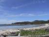 |
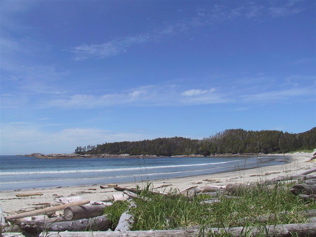
This is the view from the West Beach, a
beautiful beach on the western side of Calvert Island that looks straight
out into the Pacific Ocean. It is very reminiscent of Hawaii with soft
talcum-like sand and breakers rolling in. The sand was so warm that day that
it was almost too hot to walk on barefoot. |
|
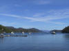 |
Looking east into Pruth Bay and down Kwakshua
Channel, this is definitely the most popular anchorage in the area. Later in
the day there were probably twice this number of boats, with several milling
around looking for the ideal spot to squeeze themselves into. Only one other
vessel showed up in our little cove, just to the east—it was a wonderful
spot with excellent holding. |