 |
Day 2:
Tzartus Island, Barkley Sound |
 |
I slept really,
really well last night for the first time in almost a week. I had been too wound
up for the trip and the Nitinat crossing. There was not even a rustle
of wind that morning. Under a bright, blue sky we
had a lazy breakfast of strawberry crepes on deck, followed by hot showers,
before getting underway. |
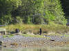 |
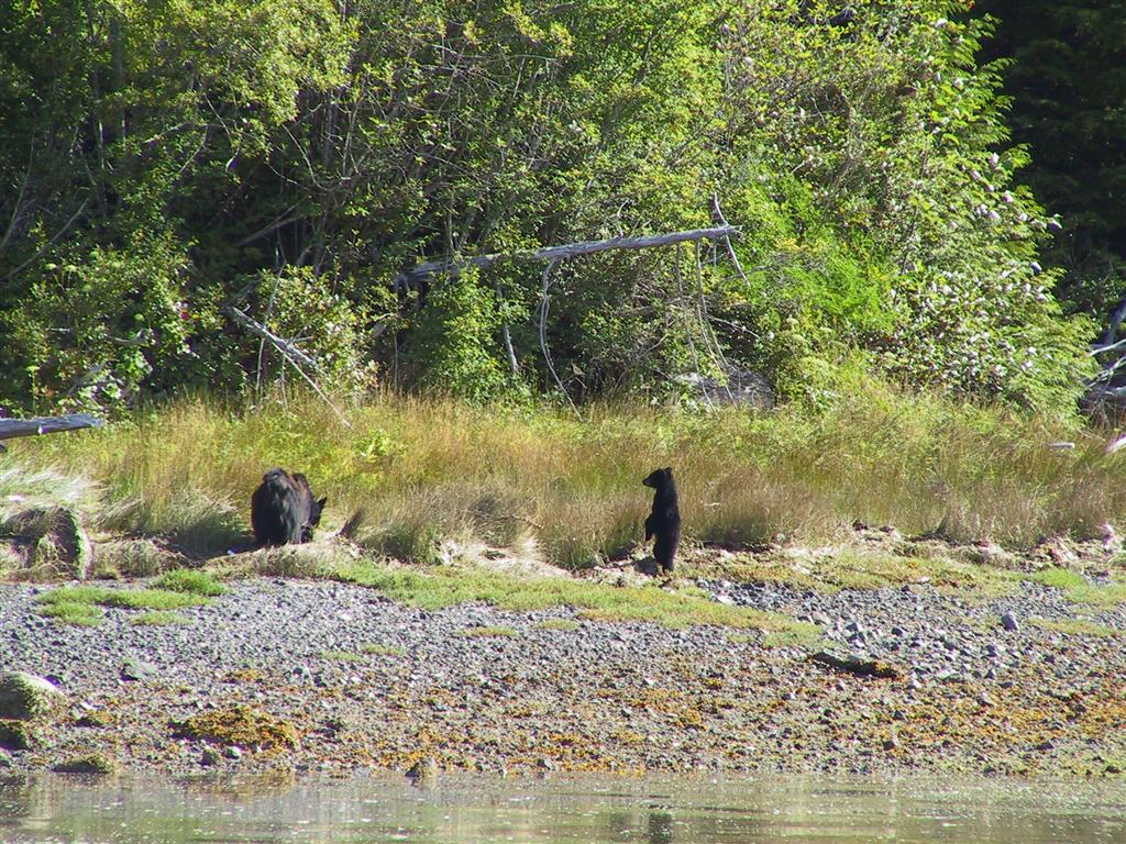
On the way out
we saw a mother black bear and cub crossing the intertidal strip to
islet east of the channel mark. The little one stood up on its hind legs to
find Mom over the grass. We picked up fuel in Bamfield before heading
out. They wanted to limit us to 40 gallons because the Coast Guard was
coming and wanted some huge amount. We managed to talk them up to 80, but no more.
This was half what we needed, but enough to get us through the next few
days. We'd get more in Ucluelet. |
 |
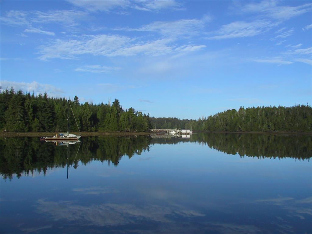
Before leaving the area, we toured Grappler Sound,
which opens from the mouth of Bamfield
Inlet. Inside, Port Desire is ringed with houses. We went
farther, trying to get to the inner basin at the head. It is very
tight, but well marked. Pictured is our return route back out.
We didn't get all the way to the inner basin. It is blocked by an intertidal bar and we only had about 7 feet of water, which would mean about
5 feet over the bar. It looked very secluded and appealing though. |
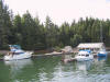 |
We then went north into Trevor Channel, and through Robbers Passage, between Fleming and Tzartus Islands. This is the
site of a Port Alberni Yacht Club outstation. They welcome
visiting craft, and the facility looks very nice. But we want to
anchor out. |
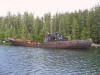 |
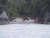
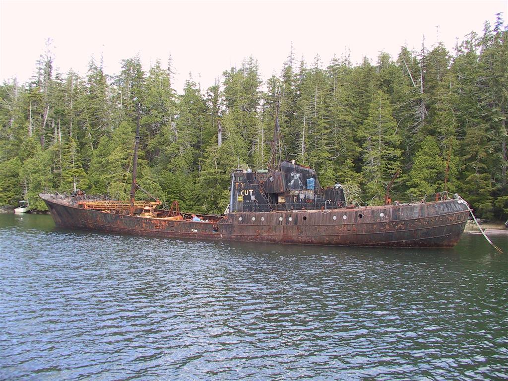
Also moored in Robbers Passage is an old
rusting ship being used by a mussel farm. For what, it is not clear.
The ship was once used by whaling protesters, who would ram other ships
engaged in whaling. The other side of the superstructure
contains badges representing each ships that was successfully targeted.
Sounds pretty scary to be on either side of that. |
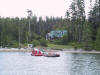 |
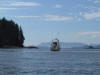
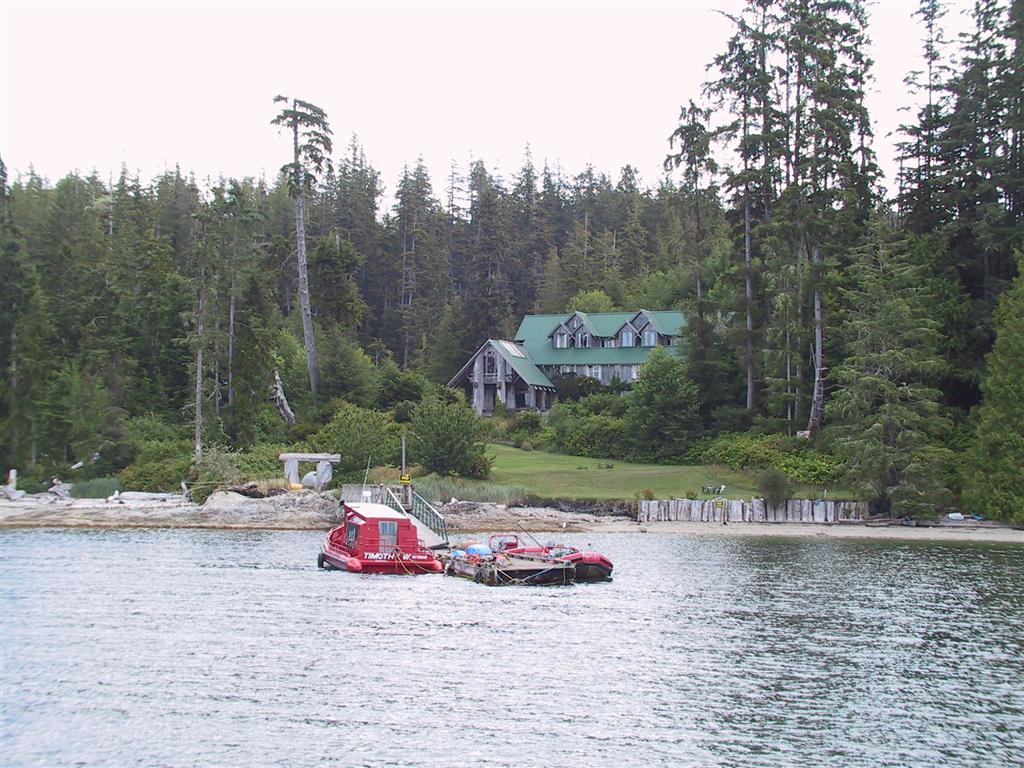
Just around the corner, at the southwest end of
Tzartus Island, is the dramatic Lodge at Shahowis. They had a nice
collection of high-speed inflatables on their dock, plus a rather unusual,
bright red covered craft. |
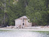 |
Tucked away on the beach was a new-looking big
house. The lodge is on the site of an old village, but I couldn't find
any information about this structure as to whether it was Native-owned or part
of the lodge. Update: We've since been told that this was
built for a
Hollywood movie, but the actual movie was not known. |
 |
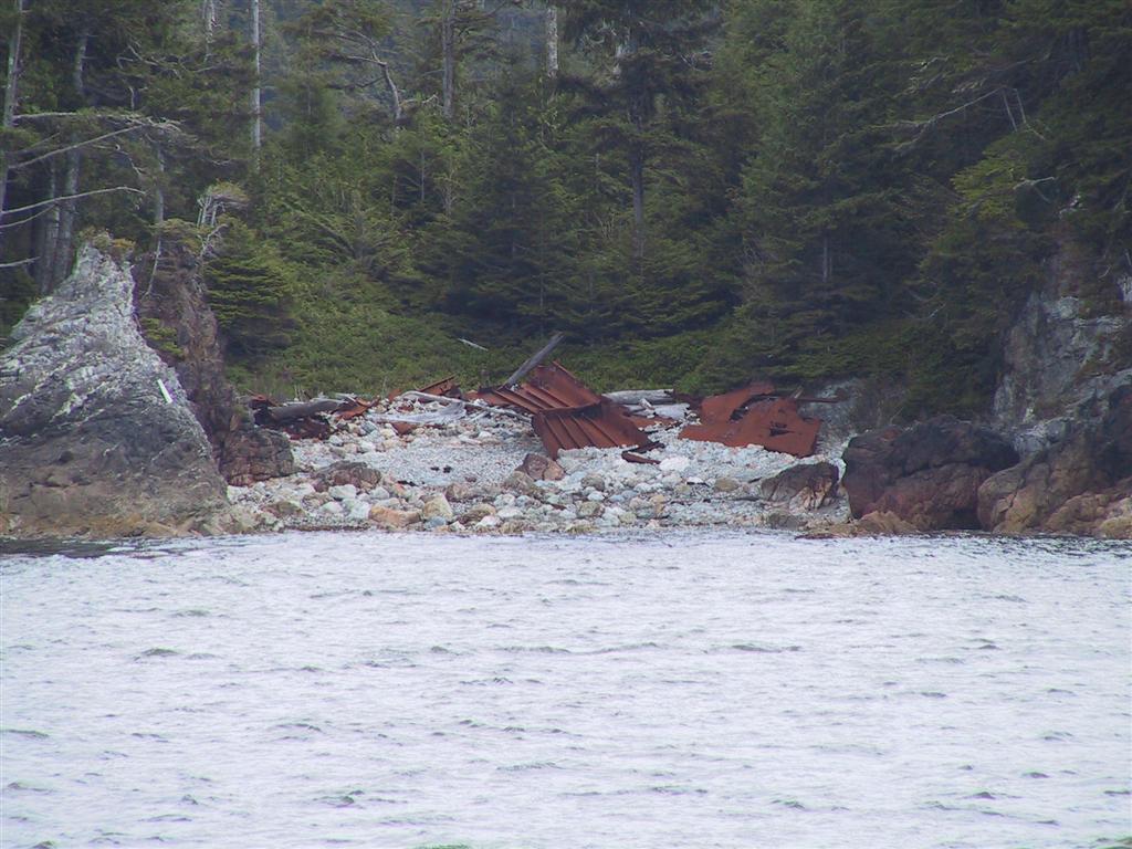
This is the wreck of a steel barge on Fry
Island, off the
western
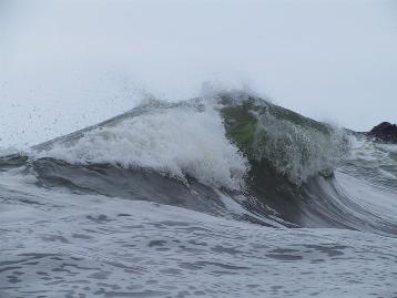
shore of Tzartus Island. This coast can really do some damage to a vessel, and has
proved so many times. |
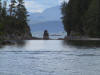 |
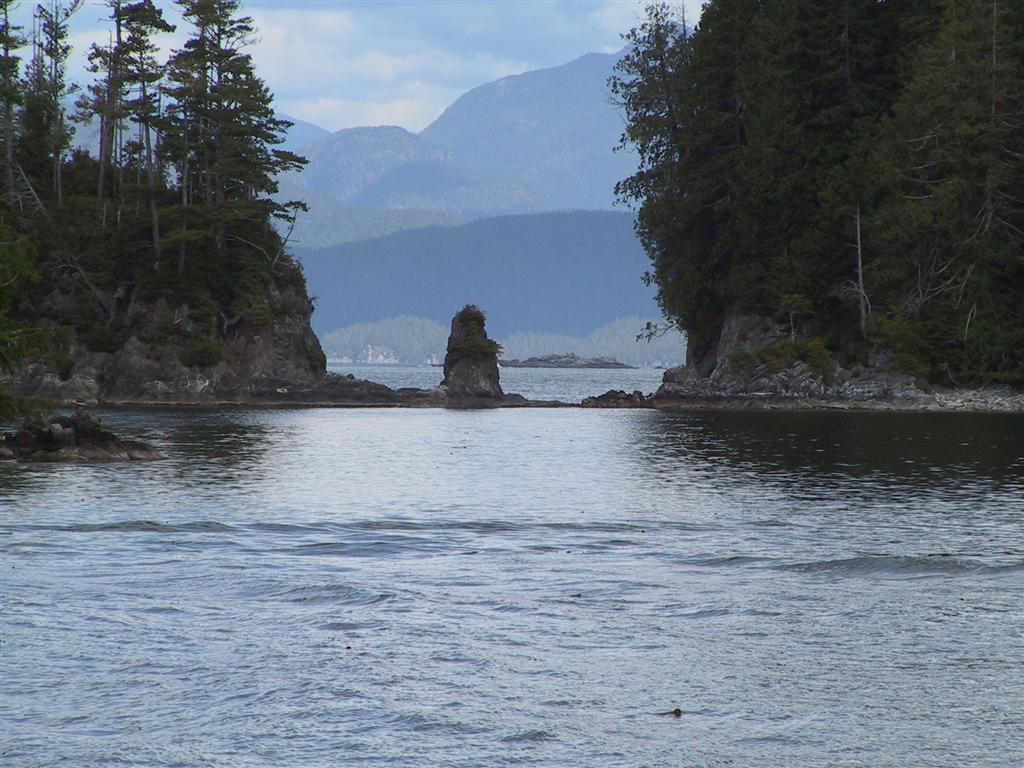
This is looking west from Marble Cove on the
west side of Tzartus Island. We considered anchoring here, but it was
not very appealing with a fish farm and a resort. Otherwise it would
have been really wild. |
 |
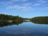
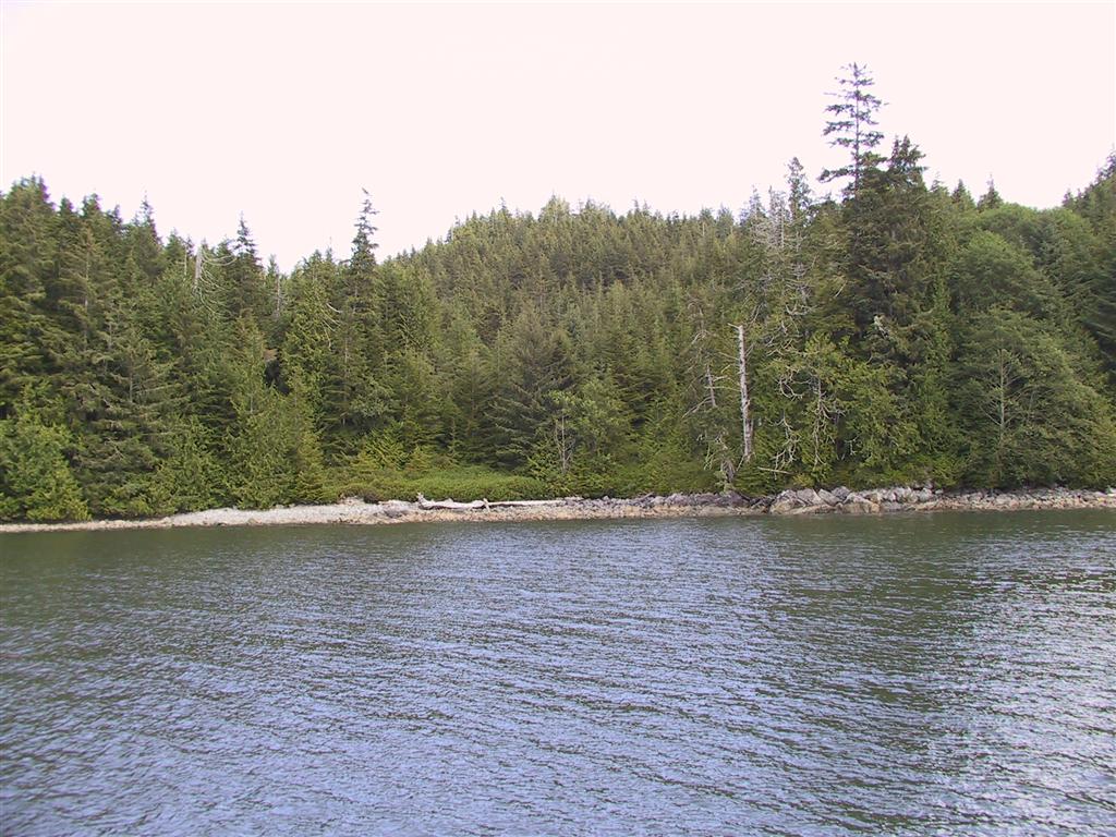
Just north of Marble Cove is an unnamed cove
called Tzartus Cove in the Douglass guidebook. It was empty and
surprisingly sheltered, given its orientation. Perfect. |
 |
The shoreline looked rather impenetrable.
There was evidence of a past human activity though, with low brush growing
in an area that had certainly been cleared years ago. We went ashore
to see what we could find. |
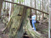 |
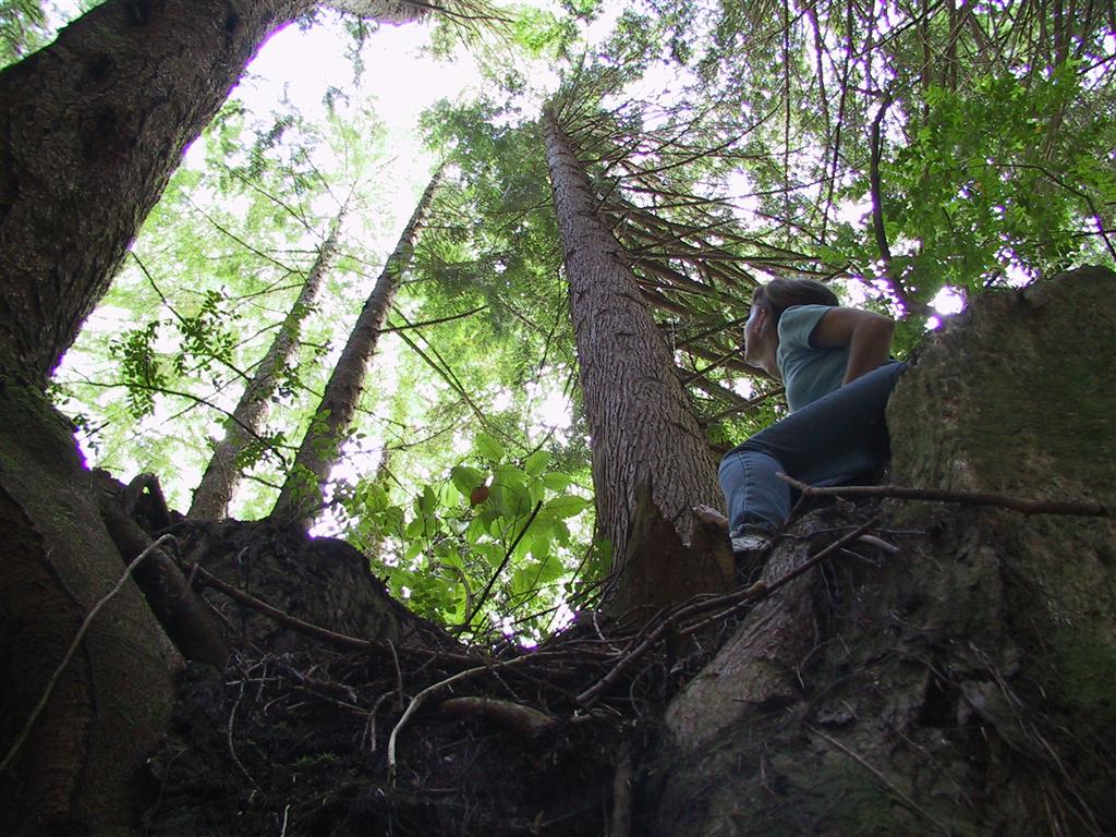
The thick tree line easily gave way to a healthy,
wide-open second growth forest. The ground was very spongy underfoot
(and there were lots of mosquitoes.) We found several huge tree trunks
with springboard scars in them. Before the availability of chainsaws
in the 1940s,
trees were felled by hand using two-man crosscut saws. Handfallers
drove narrow boards, called springboards, into the trunk to work above the
flared butt. The butt was both thicker and contained more sap, which
would jam the saw. |
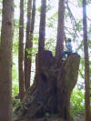 |
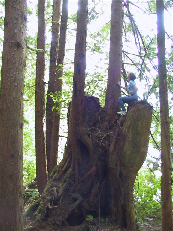
We also found another huge stump in which two substantial trees had grown.
This is a shot looking up from the stump
at the trees growing from it. |
 |
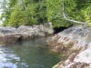
We toured by dinghy down to Marble Cove and
then back north to the top end of Tzartus Island. En route we found
this cleft in the shoreline, with one tree trying to reach the other side.
The geography of Vancouver Island's west coast is really dramatic. |
 |
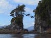
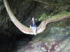
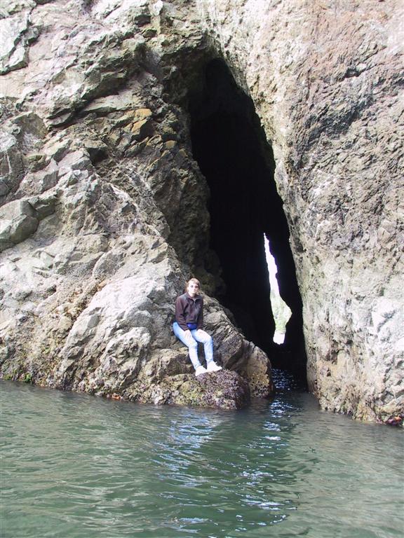
This seacave north of Tzartus Cove went all the
way through to the other side. Most unusual. |
 |
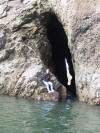
Farther north we found an gully that bore
investigation. You can just see the dinghy tied off at the top of the
picture. |
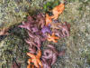 |
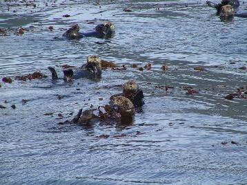
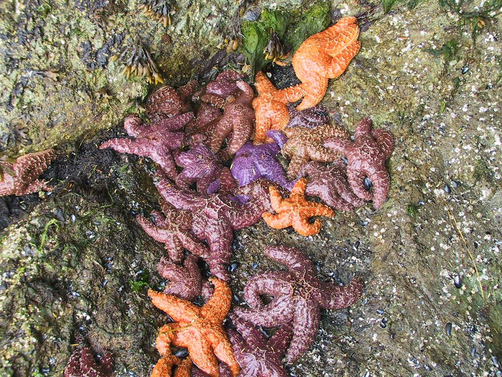
Along the shore were huge clumps of colorful sea stars. |
 |
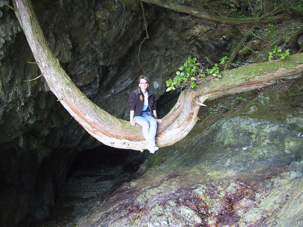
At the head, a large tree had stretched across and followed the shoreline,
forming a perfect saddle. |
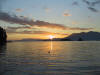 |
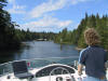
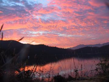
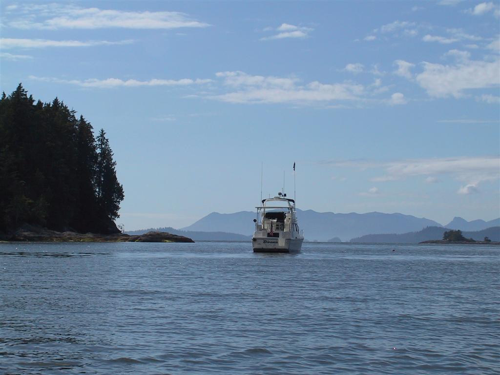
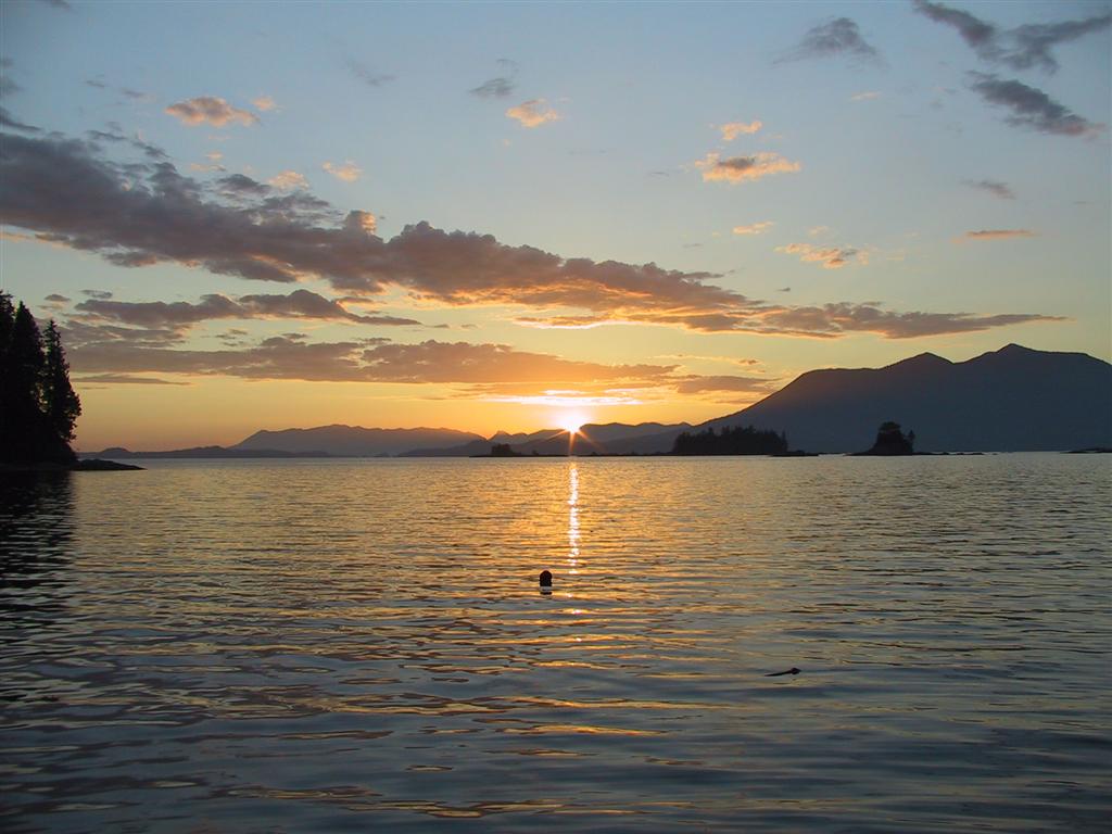
We finally returned to Dirona for dinner and a stunning sunset
looking across Barkley Sound.
You can see Wilson
in the foreground. |
|
|
[Previous]
[Next]
|


