|
 |
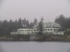
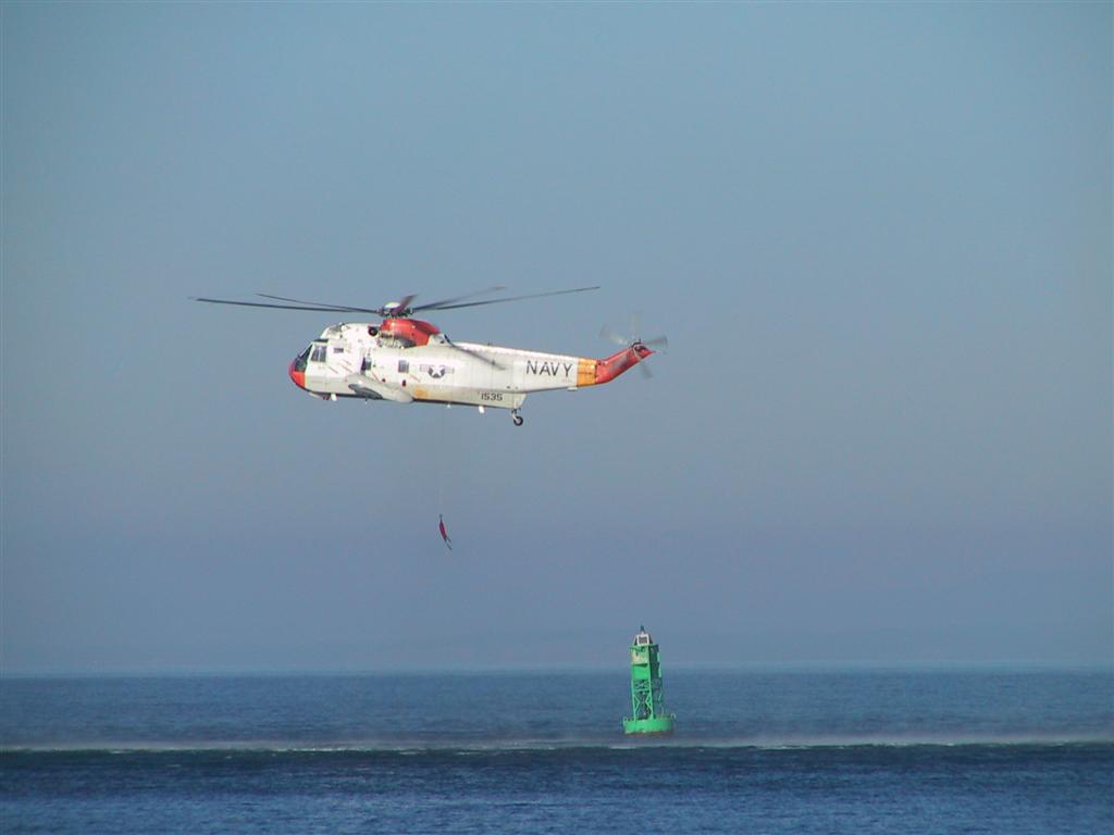
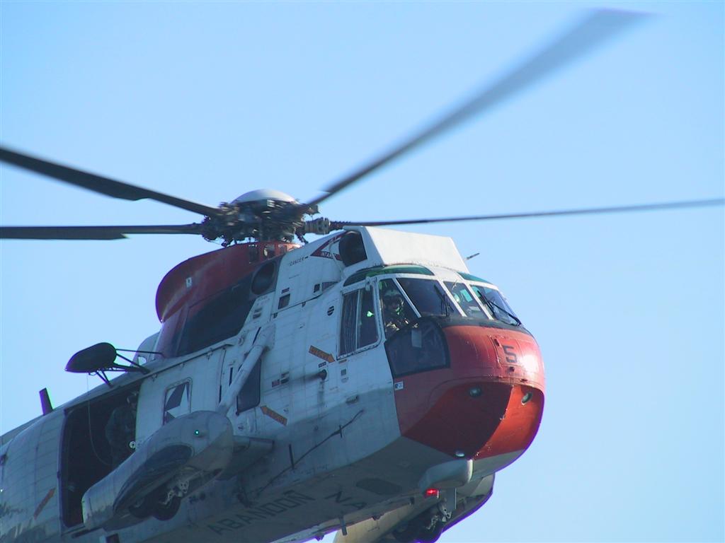
We traditionally spend Thanksgiving in the San
Juan Islands. On the way up this year, we
encountered a Navy chopper quite near the water surface practicing rescue
maneuvers using a buoy just
off Port Townsend. We could see it in the binoculars a long way off and
could not figure out what it could possibly be until we got closer. They left after
we showed up, but we did get a good look at them - you can see them staring
back down at us in this shot. |
|
 |
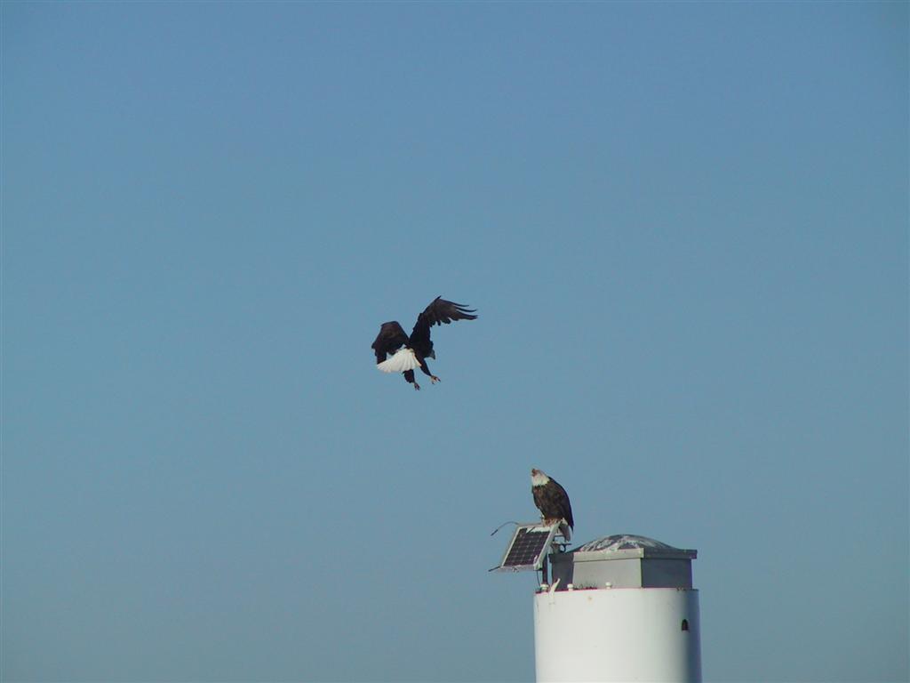
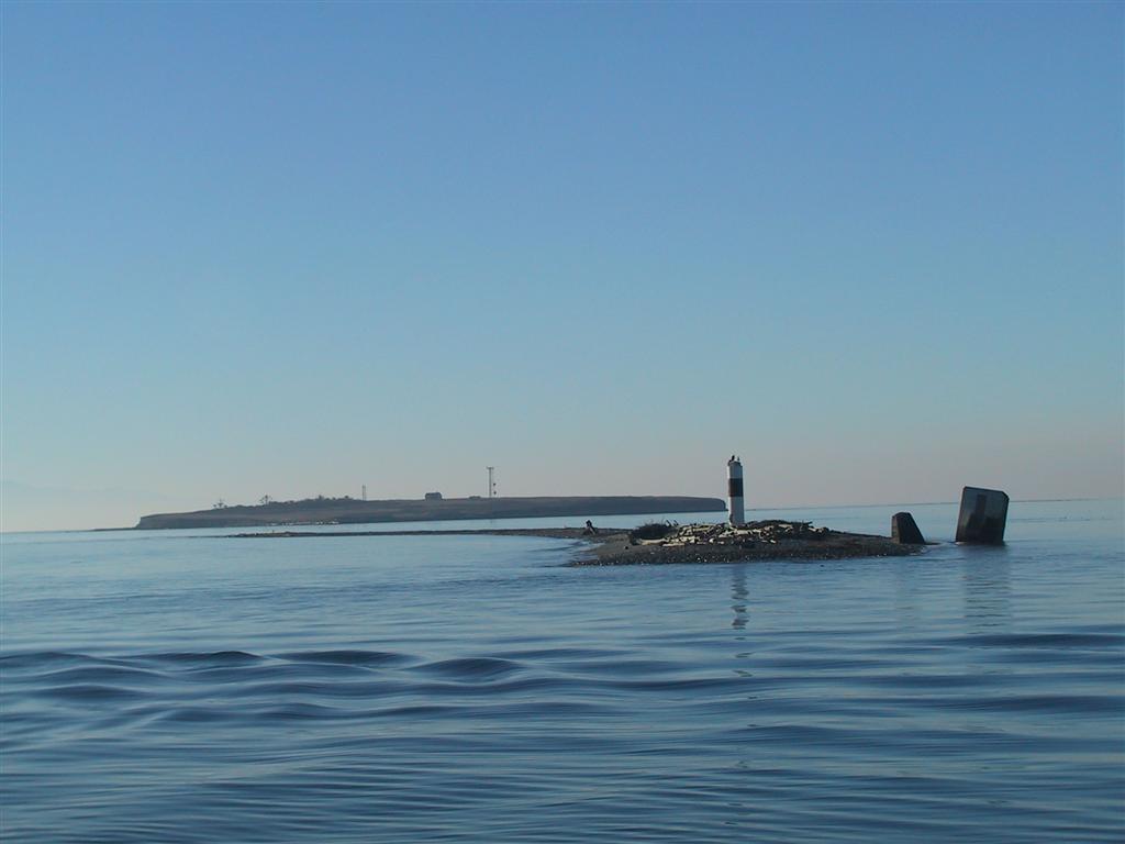
Whenever we're in the area, we always stop off to see the eagle pair at
Smith Island at the eastern end of the Juan de Fuca Strait. They mostly seem
to get along better than the picture would indicate—perhaps someone came
home and forgot the milk :). Young
are frequently in a nest on shore, but none were this time. This is the
view looking westward with Minor Island in
the foreground and Smith in the background. The nest is on the beach just to
the left of the white pillar. |
|
 |
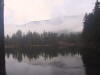
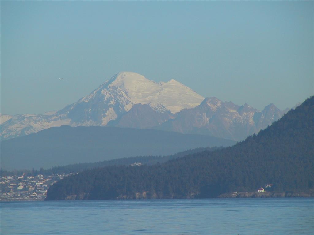
It was a wonderfully clear day—Mt. Baker
stood out most impressively against the bright blue sky. Our first night we spent at Spencer Spit. There
was not a single boat when we arrived, although two others did eventually
show up. |
|
 |
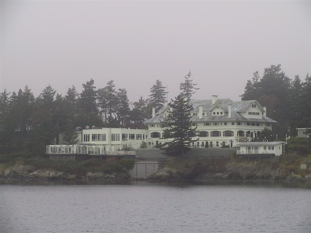
The next morning was Thanksgiving Day. Expecting another clear day, we
decided to hike to the top of Mt. Constitution, something we'd been
wanting to do for a while. At 2,409 feet, it is the highest point in the San
Juan Islands, We motored over to the
Rosario Resort, tied off at
one of the buoys, packed a lunch, and headed to shore in the dinghy. The
resort was closed for renovations, so it was very quiet there. |
|
 |
Here's a trail map for Moran State Park. We
entered near the bottom left where it says "To Rosario Resort",
which is a good mile away by road. We had a hiking book with trail maps for
the park with us, but unfortunately the more direct trail from the north
side of Cascade Lake to the summit was not obvious on any of the overview
maps - therefore the route we planned took us south of Cascade Lake to join
up with the main road which we would take to the top. Before we set off, I
had estimated it was about 5 miles to the top. When we got back, we looked
more carefully and estimated that it was about 9 miles up and 6 miles returning.
|
|
 |
The trails were well maintained and a few people
were walking around the lagoon, pictured at left
looking north. The ridge in the background is roughly our destination. Gulp! |
|
 |
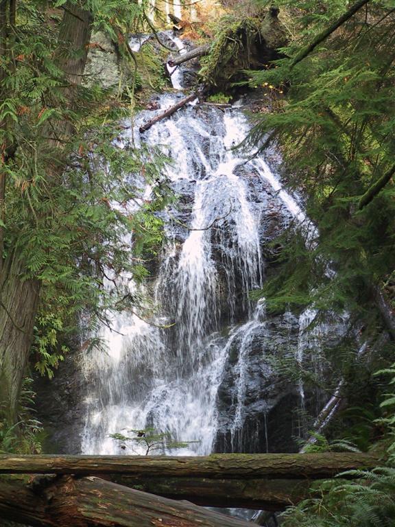
Had we known about the other trail however, we
would have missed the Cascade Falls (along trail 4 in the bottom of the
trail map), which were very active. |
|
 |
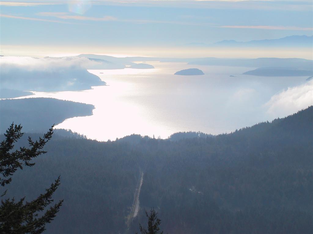
From the trail past the falls, we joined the
main road and started our ascent to the top. Again, had we found the faster
trail, we would have missed wonderful views like this one, looking south
down East Sound from the S-curves in the road. Once we hit the main road, I
hadn't been consulting the book, and thought that we were near the top here.
But we actually had about another 3 miles to go. It was really far and
really steep. |
|
 |
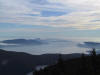
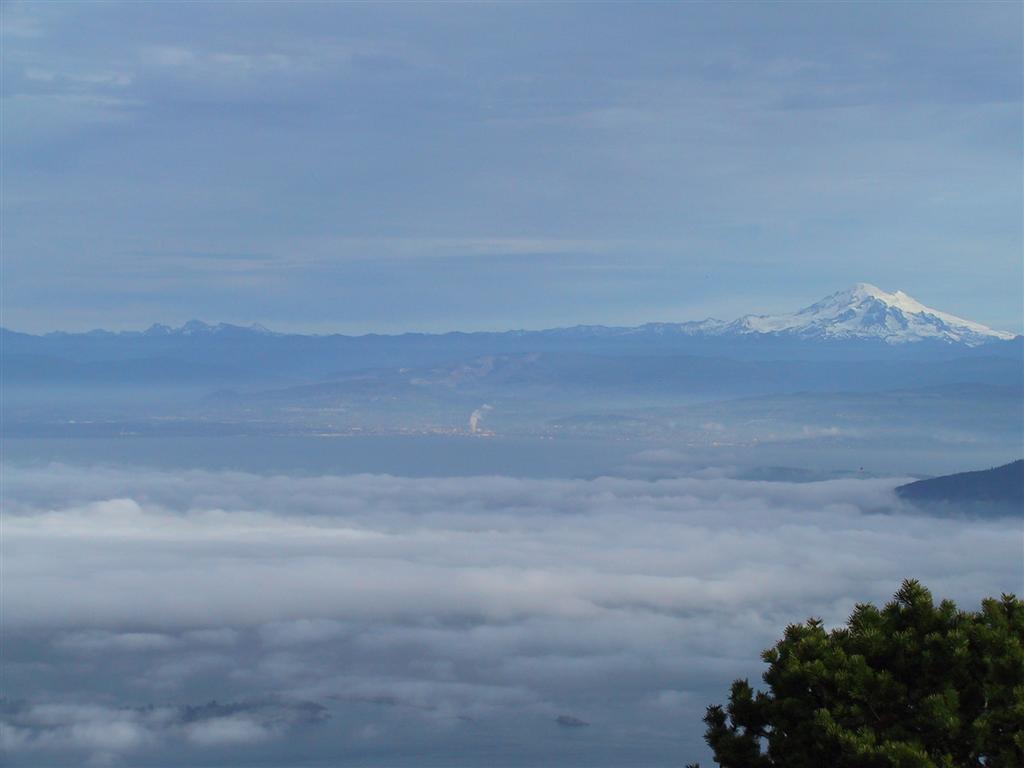
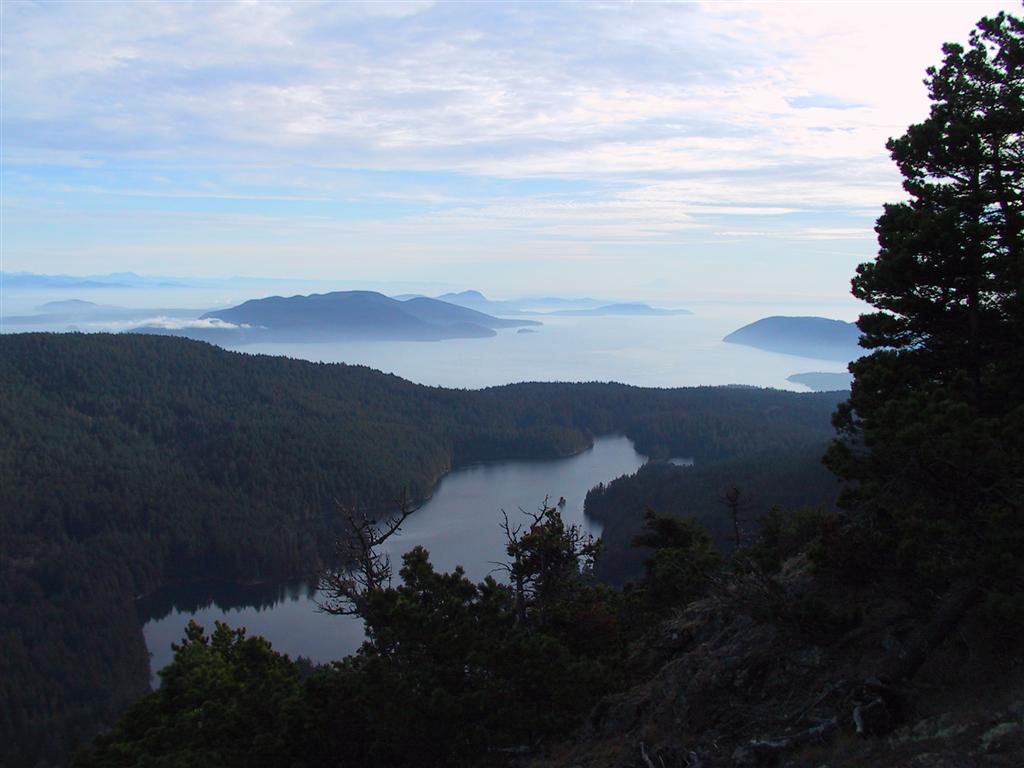
After three hours of pretty intense hiking, we
arrived at the top completely exhausted and already sore, but the view was
definitely worth it. This is Mount Baker looking east towards Bellingham from
the summit observation area, and a close-up.
We are well above the cloud line. |
|
 |
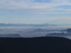
This is the view looking directly south. If you
look very carefully, you can see Mount Rainier just barely visible in the
distance slightly to the right of center. |
|
 |
This is looking southeast over Rosario Strait
towards Deception Pass. |
|
 |
We took the Little Summit Trial back down the
mountain, realizing that we would cover the distance much more efficiently
than the roads, which are designed for cars not crazy walking people. This brought
us above Mountain Lake, which we are looking south across in this picture.
This trail connects with the direct trail to Cascade Lake that we'd seen the
trailhead for as we walked past on the road on our way up and realized there
was a much faster route down. |
|
 |
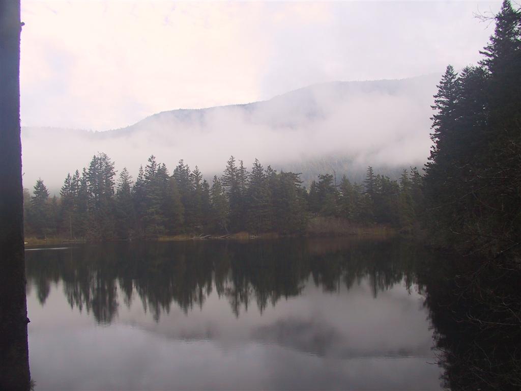
Cascade Lake was a most welcome sight. We still
had a good mile or two to go, but we were almost out and would be assured of being
back before dark, which was our main concern. We practically ran down,
covering the entire Stone Creek Trail (4.3m and 2050 feet altitude drop) in
about an hour. I've started carrying a hiker's emergency kit now (10
essentials - flashlight, firestarter, compass, ...) as getting caught at
night would not have been be fun. |
|
 |
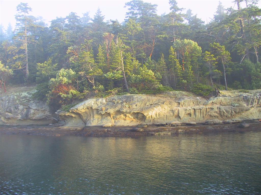
The rest of the trip was rather uneventful—
good thing as we were exhausted and sore for days. We went to Sucia and
Patos Islands before eventually heading home. At left is the afternoon sun
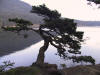
lighting up the delicate rock formations on shore at Patos. |


