For the past couple of years, we've spent Thanksgiving in the
South Puget Sound (the
area between Olympia and Tacoma Narrows) rather than our
traditional Thanksgiving trip to
the San Juan Islands. Even in the summer surprisingly few boats are about in
the South Sound, but winter there is especially quiet. We were planning a slow
cruise, with a few places we wanted to visit, but no particular itinerary. We
did hope to take advantage of the extreme high tide that week to explore the
drying heads of several inlets.
 |
We stopped for the first night at
Tramp Harbor, on the east side of Vashon Island. It looks really out there,
but actually is quite protected when the winds are from the west. The next
day we travelled 12.8 miles to overnight at
Quartermaster Harbor,
but ended up only 1.2 miles away from the anchorage at Tramp Harbor. |
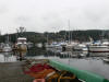 |
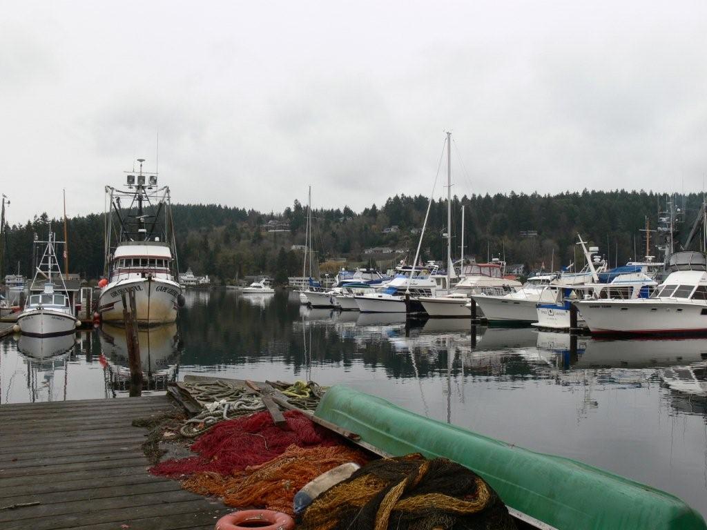
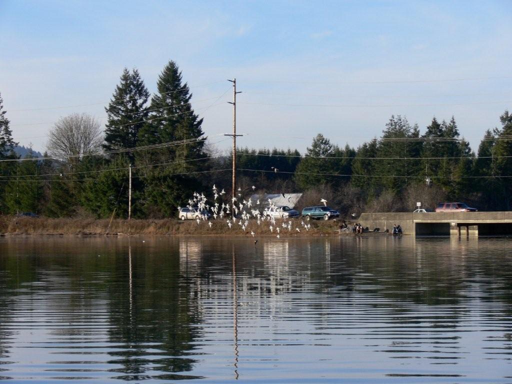
On Sunday we anchored at
Gig Harbor to watch the Seahawks game at
Tides Tavern that afternoon.
Nearly landlocked Gig Harbor is a great stop year-round, although it can get
a little busy in the summer. The harbor still shows its commercial fishing
heritage, but recreational boating has pretty much taken over the bay. While
preparing the dinghy, we discovered the
remains of some creature's meal on our swim platform. |
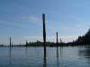 |
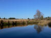
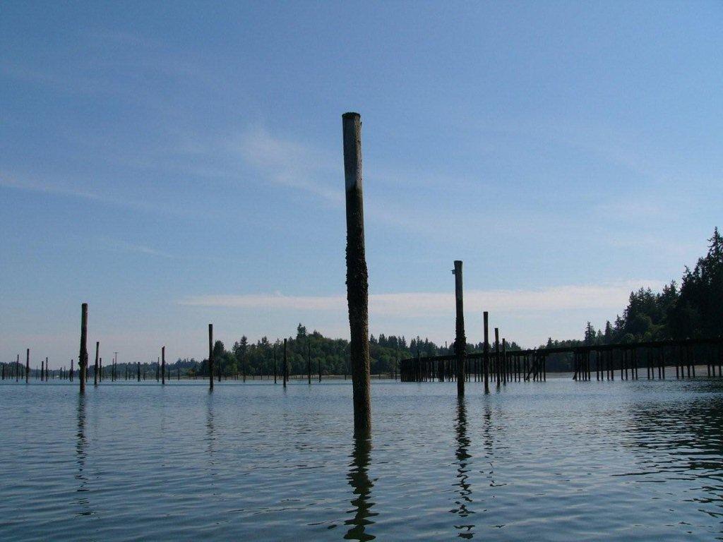
Our next stop was
Henderson Inlet. The most obvious feature there is a long railroad pier
extending from a small peninsula along the west shore beside a mass of
pilings. These are the ruins of a log transfer facility the Weyerhaeuser
Company built in the early 1900s to transfer logs from southern Pierce
County to their mill in Everett. The Department of Natural Resources now
owns the property and has established the
Woodard
Bay Natural Resource Conservation Area.
|
 |
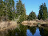
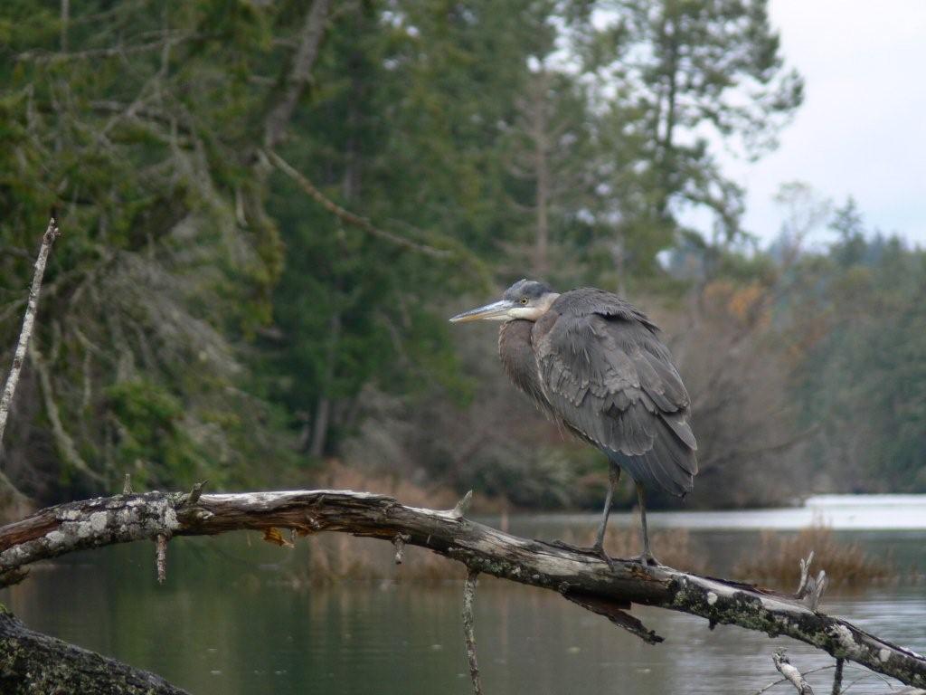
We'd visited the conservation area a couple of years
back. This year we wanted to explore the south end of Henderson Inlet. All
kinds of wintering seabirds covered the water surface. Scoters were the most
obvious, with their white skull patches. Henderson Inlet also is one of the
most important Blue Heron rookeries in the state. We saw several take flight
from the trees at once and swoop overhead. Normally we see only one or two
at a time.
|
 |
A few oyster companies farm here—we passed some
pens—and one active facility was ashore. A dozen or so houses were beyond,
but for the most part the head was surprisingly undeveloped. The basin
narrowed at Woodland Creek and became more developed where Johnson Point
Road NE runs close by. The navigable part of the creek ended after a few
bends, where the creek flowed under the road through a cement pipe, about 2
miles from where the drying part of the head begins. On a 13.5' tide
(corrected for Henderson Inlet) we had a foot or two to spare, and probably
could have made it on an 11' tide.
|
 |
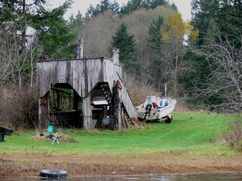
Overall it was an enjoyable trip.
Here and there were old docks and rowboats tucked away on shore, or
unusual hand-built structures. The little
nooks shown on the chart were interesting to poke about in too. There we
found little wooden benches and more small boats. The whole area felt rural
and rather historic—as if people frequented in the past, but hadn't in a
while. |
 |
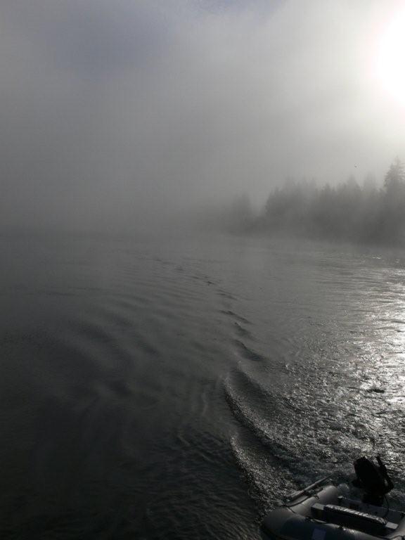
After spending the next night on
one of the buoys at
Hope Island, we set off the following morning for
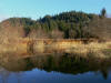
Hammersley Inlet. The weather was clear and sunny, but Hammersley was
completely fogged in. We could see the fog spilling out as we approached.
Visibility in the channel was about 200 feet--we could hardly see the shores
on either side. Conditions eventually improved as we rounded Skookum Point. |
 |
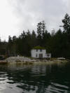
Shelton and the
Oakland Bay Marina are at the
elbow of Hammersley Inlet, where it bends into Oakland Bay. We like Shelton.
Its a working-class town that is proud of its heritage. We continued
past--into Oakland Bay. For a couple of years we'd wanted to explore Deer
and Cranberry creeks, off the drying inner basin at the head of
Oakland Bay. But the tides had never been quite right. The 15.1-foot tide that
afternoon should be enough to get in. |
 |
We were initially thinking of
going all the way through to anchor in the inner basin at the 5.1-fathom
section, but were a little concerned about the 0.4-fathom channel to reach
it. So we instead opted to anchor just outside, near the 3.1-fathom
sounding. Just getting there was exciting. The chart shows snags and pilings
on both sides. But we got through safely and it turned out to be a wonderful
anchorage. We'll be back. |
 |
Just before the inner
basin we found a small stream, Johns Creek, that we were able to navigate a
short distance before running out of water. Something smelled rotten and we
began to notice large, dead fish ashore and in the water. We must have
arrived not long after the
salmon spawn. |
 |
We continue into the
inner basin to Deer Creek on the south side. On a 14-foot tide we were able
to work just over a half-mile up creek before a fallen tree blocked the way.
We had a foot or two to spare, but not much. The creek was lovely, with
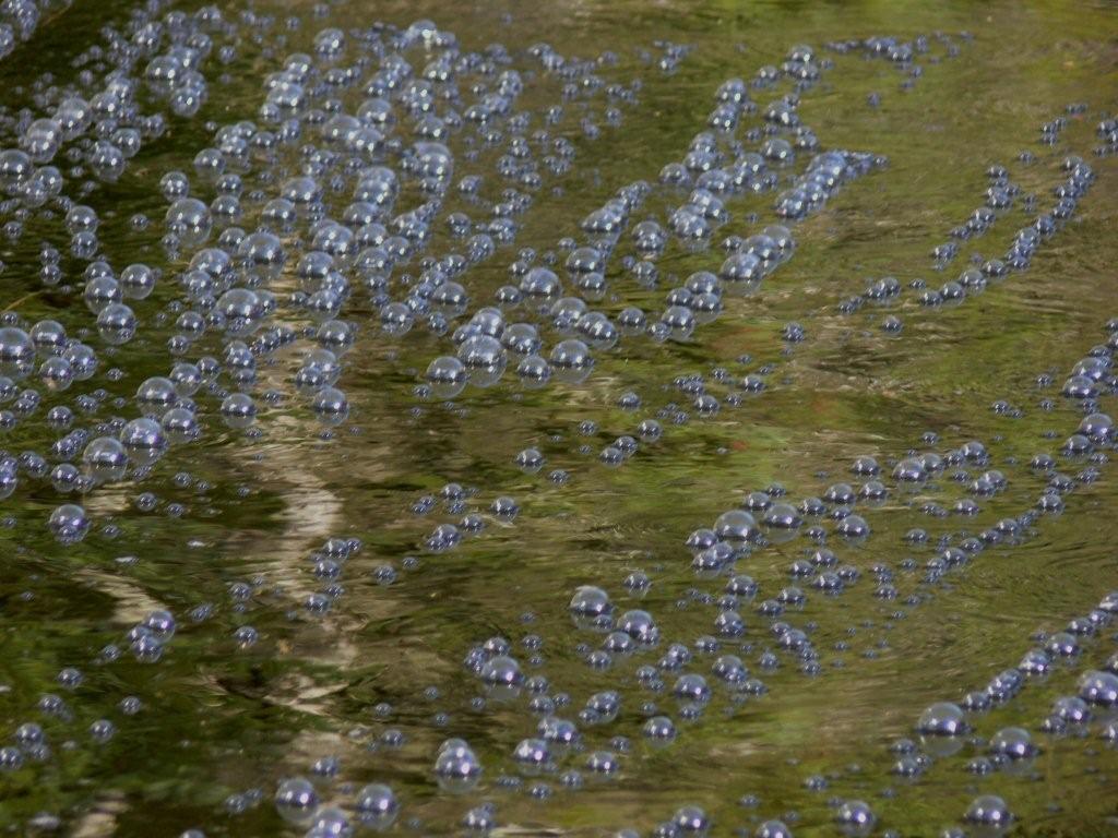
grasslands and nature all around. The deep blue sky didn't hurt either. Near
the entrance, bubbles were forming on the
surface from air escaping below. We've seen this before, but aren't sure
what causes it. Perhaps air is trapped in some kind of peat moss that
releases when covered? |
 |
Cranberry Creek was also
attractive, but fallen trees blocked the way not far from the mouth. We
didn't see (or smell) any dead salmon in Deer Creek, but we did at
Cranberry. We also saw a couple of salmon, barely alive, trying to make it
upstream. One kept spinning upsidedown. It
is the natural cycle, but was still kind of sad to see. |
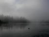 |
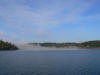
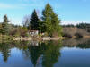
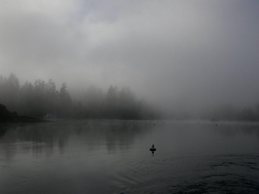
We moved to Jarrell Cove for our
Thanksgiving dinner. Last year we had it all to ourselves for Thanksgiving,
this year another boat was already at the dock when we arrived and another
came later. The fog was so thick the next morning that we couldn't see the
dock from our buoy. This picture was taken as we left, when the fog had
started to lift a bit. |
 |
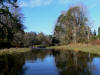
As we cruised to
Eld Inlet, the
fog lifted to another sunny day with bright blue skies. We were doing well
with the weather on this trip. We
anchored deep inside--as close to the drying head as we dared
with a negative 3-foot tide coming. The temperature was 46F, but the sun was
so warm with no wind that we could eat lunch on deck. |
 |
High tide that afternoon
would be 15.9 feet--about as good as you can get. The drying head of Eld
Inlet, called
Mud Bay, turned out to be as complex and interesting to explore as it
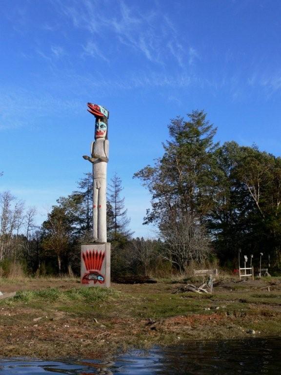
appeared on the chart. Our first discovery was a totem pole on a peninsula
along the east shore. We later learned this was a major Squaxin Tribe
archeological site called
Qwu?gwes. Artifacts from the site are on display at
their museum. |
 |
A lovely garden was between the
bridges over Mud Bay Road and Highway 101. Several people were
fishing by the Mud Bay Road bridge, and
swallows and various waterfowl were everywhere. |
 |
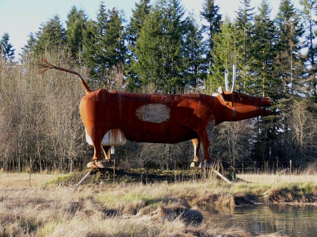
In a field just beyond
Highway 101 stood a giant metal cow. Its
origin is apparently a bit of a mystery, and more are
visible from the highway. |
 |
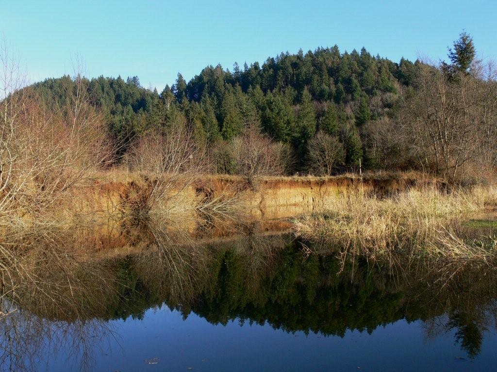
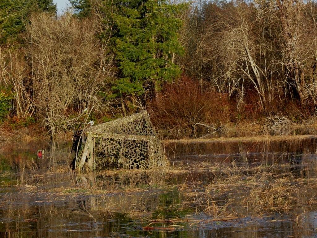
The water was too shallow to
proceed much past the mouth of McLane Creek. But judging from the undercut
sandy shore, the water level gets a lot higher during spring runoff. Nearby
were several duck blinds with
half-submerged orange "No Trespassing" signs. |
 |
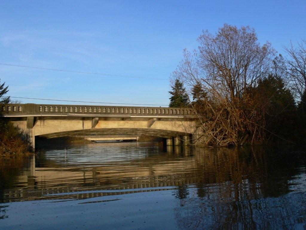
We returned out to the mouth of
Mud Bay and followed a westward spur towards Perry Creek, again passing
under Highway 101, but couldn't get very far. That second bridge in the
distance was so low we had to really tuck down to get under it. More people
were fishing there and beyond was a rotting smell that we'd come to
recognize as dead salmon even before we saw them floating in the water. |
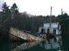 |
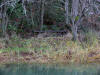
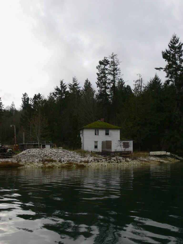
Back out of Mud Bay, this
half-submerged ship was along the west shore of Eld Inlet. It appeared to
have been modified several times over the years, most recently for living
aboard. We couldn't see a name on it or find any information about it. |
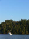
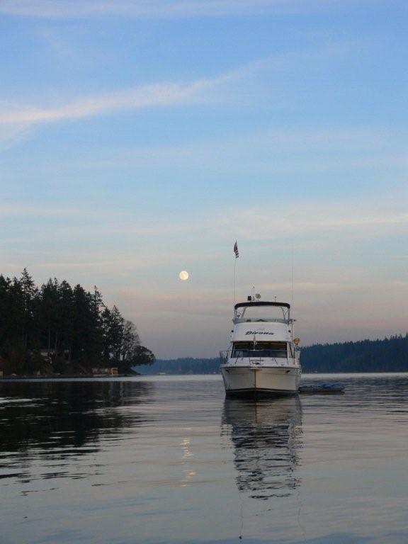
 |
The moon was rising when we
returned to the boat. Our
Mustang
suits keep us pretty warm, but we were ready to be inside with a cup of
hot chocolate. |
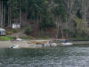 |
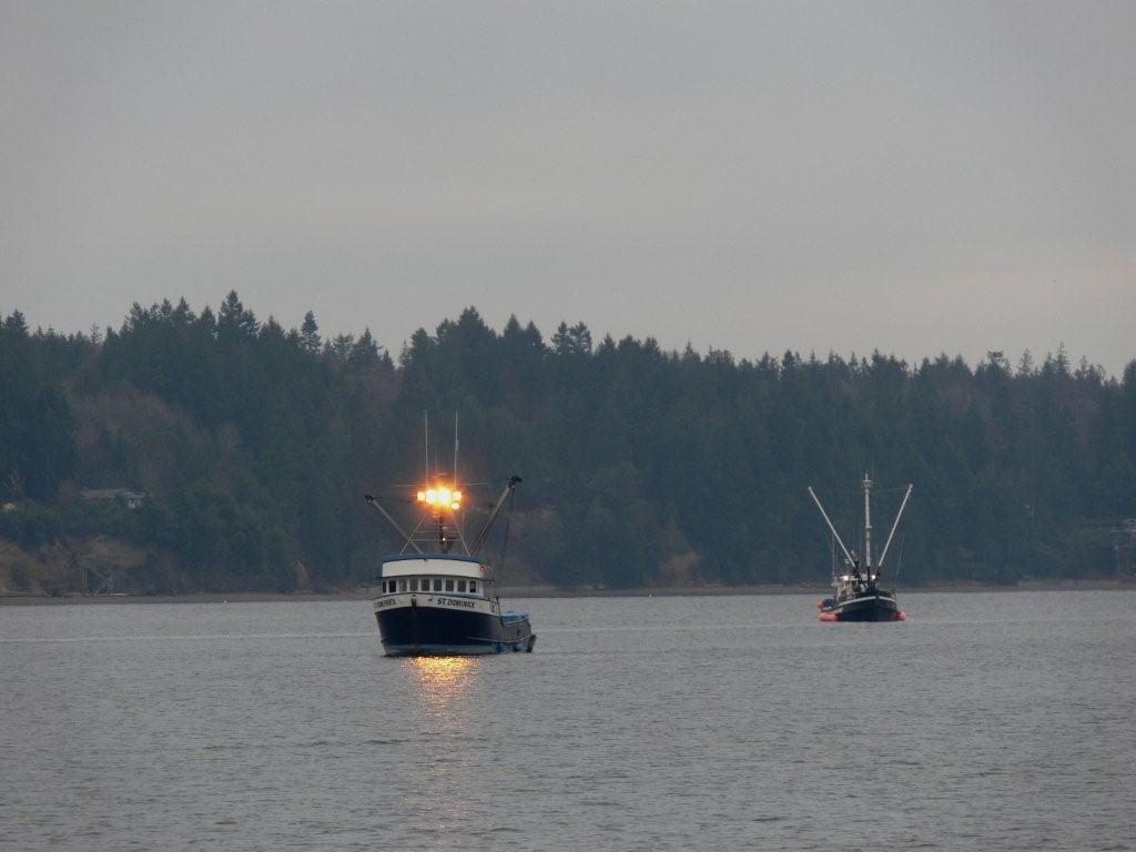
A fire burned on the beach before
dawn the next morning. That seemed odd. Soon after sunrise, several
large fishing vessels arrived and we could
see smaller runabouts along the shore at various points with nets strung in
the water, one where the bonfire had been. We concluded that this must be a
tribal net fishery, using traditional methods, and the big boats were fish
buyers. The fire likely was to keep the fishers warm before they started
working. |
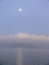 |
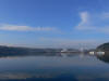
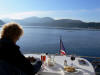
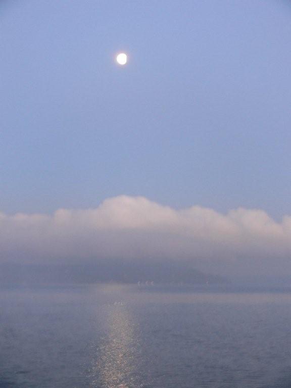
We ended the trip almost where we
started, across the channel from Tramp Harbor at
Saltwater Marine State Park. This is the view looking across to Vashon
Island as the moon set the following morning. |
|
|
To
learn about more of these adventure, see our book Cruising the Secret Coast. |


