The Caledonian Canal extends 50 nautical miles southwest from Beauly Firth near Inverness to Loch Linnhe by Fort William. Only 19 miles of the canal are man-made and the rest extends through four natural freshwater lochs, including the famous Loch Ness. Along the way are 10 swing bridges and 29 locks, achieving a maximum elevation of 106 ft (32.3m) above sea level.
The canal was built between 1803 and 1822 to provide safe passage for ships travellling between northeast and southwest Scotland, avoiding the dangerous northern waters of Pentland Firth and Cape Wrath. We had already passed through those waters heading east between the Outer Hebrides and the Orkney Islands and would return to southwest Scotland via the Caledonian Canal, following a cruising plan we’d put together many months ago while in Daytona, Florida.
Earlier in the year we passed through Scotland’s Crinan Canal, a much smaller canal at only 9-miles long and accomodating a maximum boat size of 88ft (26.82m) long, 20ft (6.1m) wide and 8.8ft (2.7m) deep compared to 150ft (45.72 m) long, 35ft (10.67m) wide, and 13.5ft (4.1m) deep in the Caledonian Canal. Dirona is 52ft (16m) long, 16.4ft (5m) wide and 6.6ft (2m) deep, which felt snug in the Crinan Canal but relatively roomy in the Caledonian Canal. Because the Caledonian Canal is longer and can accomodate bigger boats, another difference between the two canals is that ten or so small cruise boats ply the larger canal, taking guests on multi-day cruises through the locks and particularly Loch Ness. Cruise boats are much less common along the Crinan Canal.
On our first day in the Caledonian Canal, we made a short run from Inverness Marina and into the Clachnaharry sea lock in mid-afternoon near slack water. After paying our transit fee, we continued past the railway bridge and through the Clachnaharry Works lock before stopping for the night at Muirtown Basin. It was fun, and rare, to see from the water some of the places we’d already visited by bike.
Below are trip highlights from October 14th, 2017 in the Caledonian Canal, Scotland. Click any image for a larger view, or click the position to view the location on a map. And a live map of our current route and most recent log entries always is available at http://mvdirona.com/maps
 |
Inverness Marina
Position: -4 14.06, 57 29.67
Beautiful calm morning at Inverness Marina.
|
 |
Entering Caledonian Canal
Position: -4 15.81, 57 29.44
Entering the sea lock into the Caledonian Canal at Clachnaharry. We arrived mid-afternoon near low tide when the current would be minimal, but did have some cross-winds to contend with.
|
 |
Gates Closing
Position: -4 15.77, 57 29.43
The sea lock gates closing. We’re officially in the Caledonian Canal now.
|
 |
Rising
Position: -4 15.77, 57 29.43
Dirona rising in the sea lock (Neil White photo).
|
 |
Clachnaharry Sea Lock
Position: -4 15.77, 57 29.43
A happy James tending the bow line as we near the top of the Clachnaharry Sea Lock (Neil White photo).
|
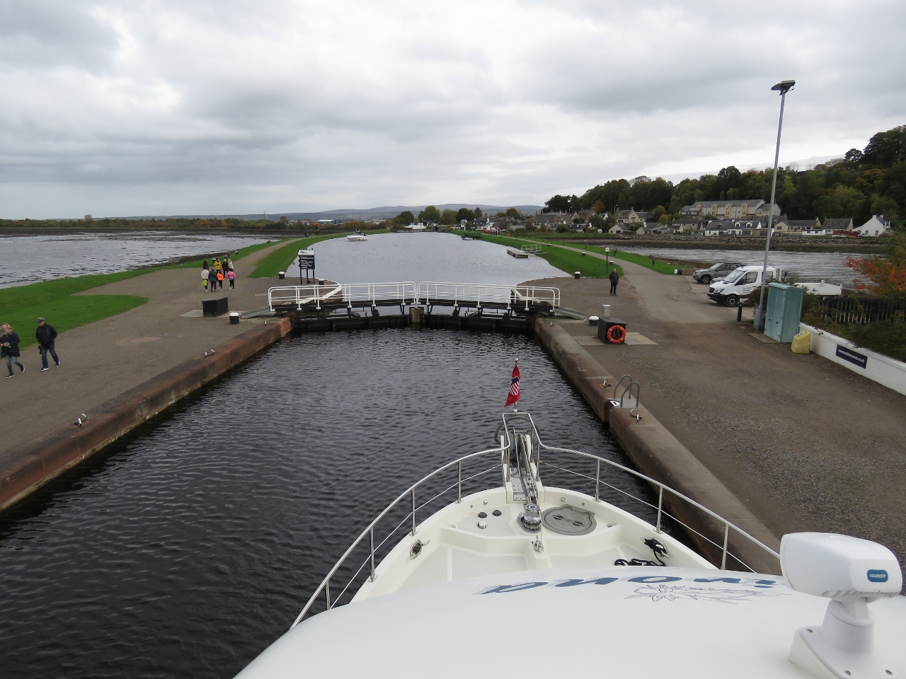 |
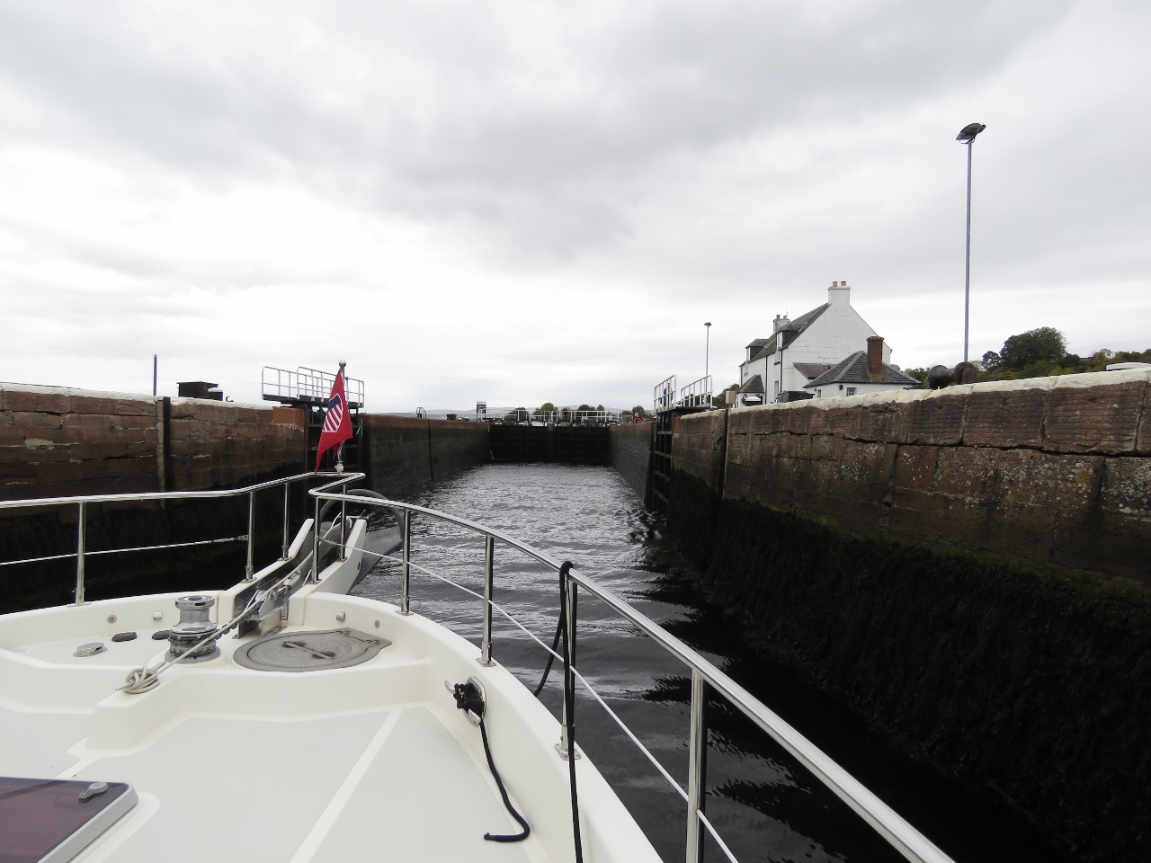
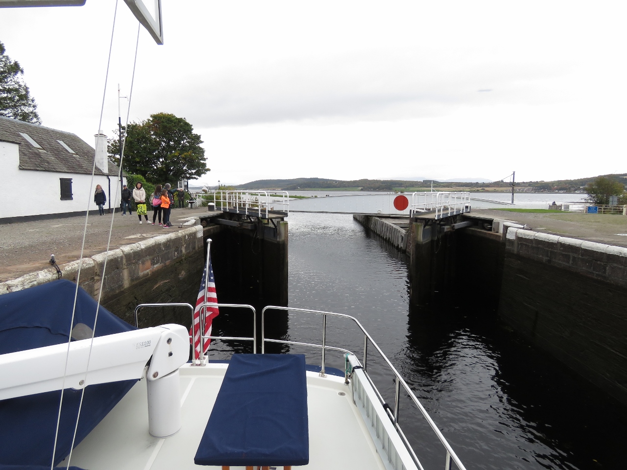
Looking Forward
Position: -4 15.77, 57 29.43
Looking forward from the top of the Clachnaharry sea lock.
|
|
|
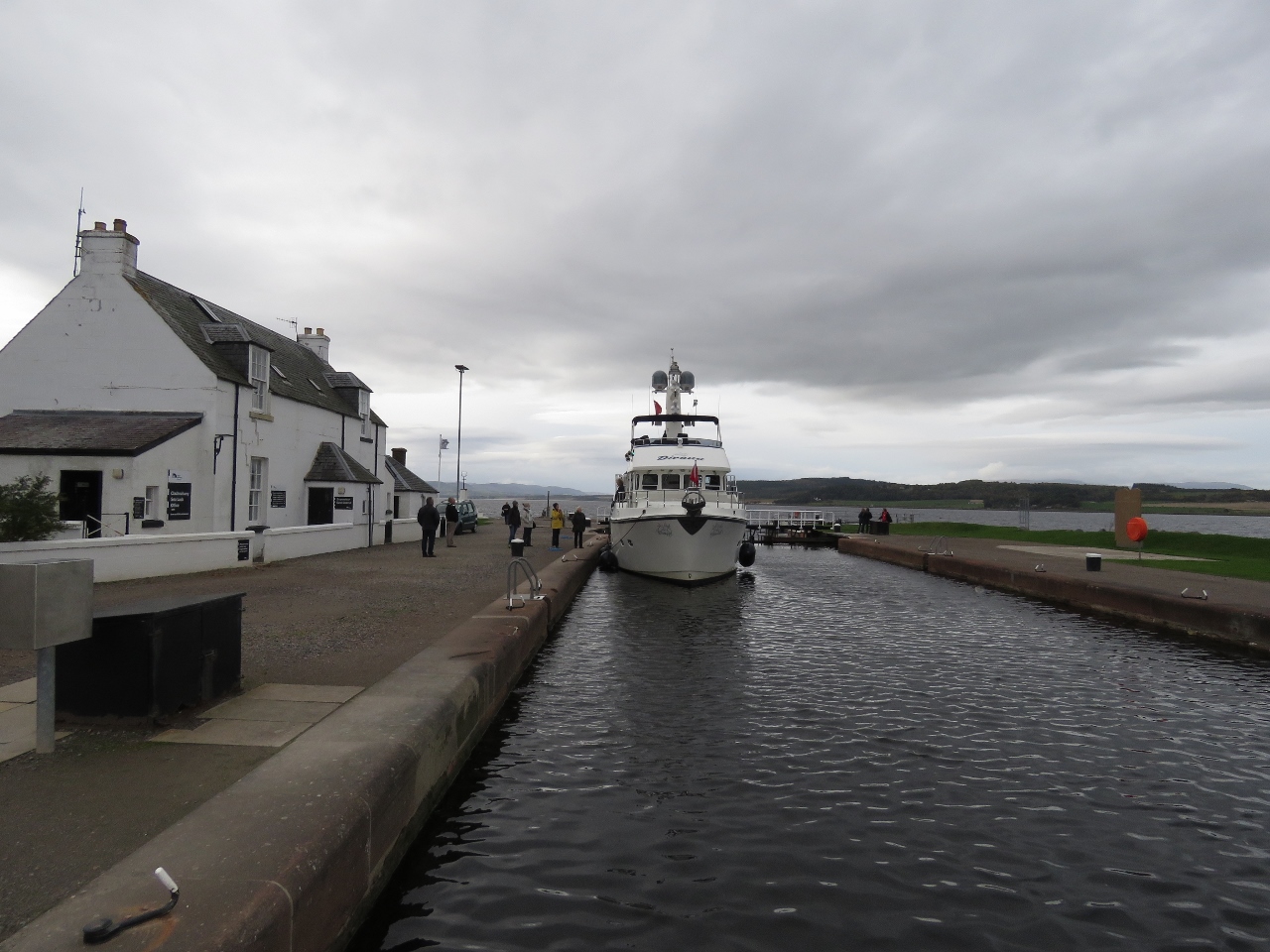
Sea Lock Office
Position: -4 15.77, 57 29.43
Moored outside the Clachnaharry sea lock office while we go in to purchase a permit. The cost for a short-term transit through the Caledonian Canal is £20.10 per meter outward and £15.90 return. This includes moorage for up to seven nights on the canal for a maximum of 192 hours. Up to three additional nights can be purchased for £1.45 per meter.
|
 |
Railway Bridge
Position: -4 15.43, 57 29.37
Passing through the railway bridge that we’d crossed by train a few days earlier on our trip to Kyle of Lochalsh, and passed by bicycle a few days before that.
|
 |
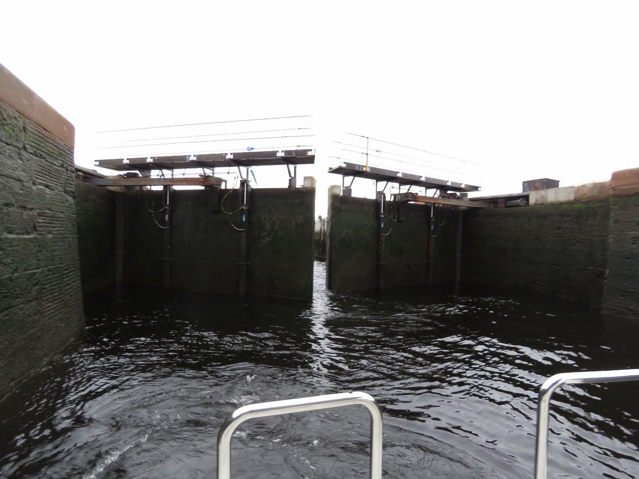
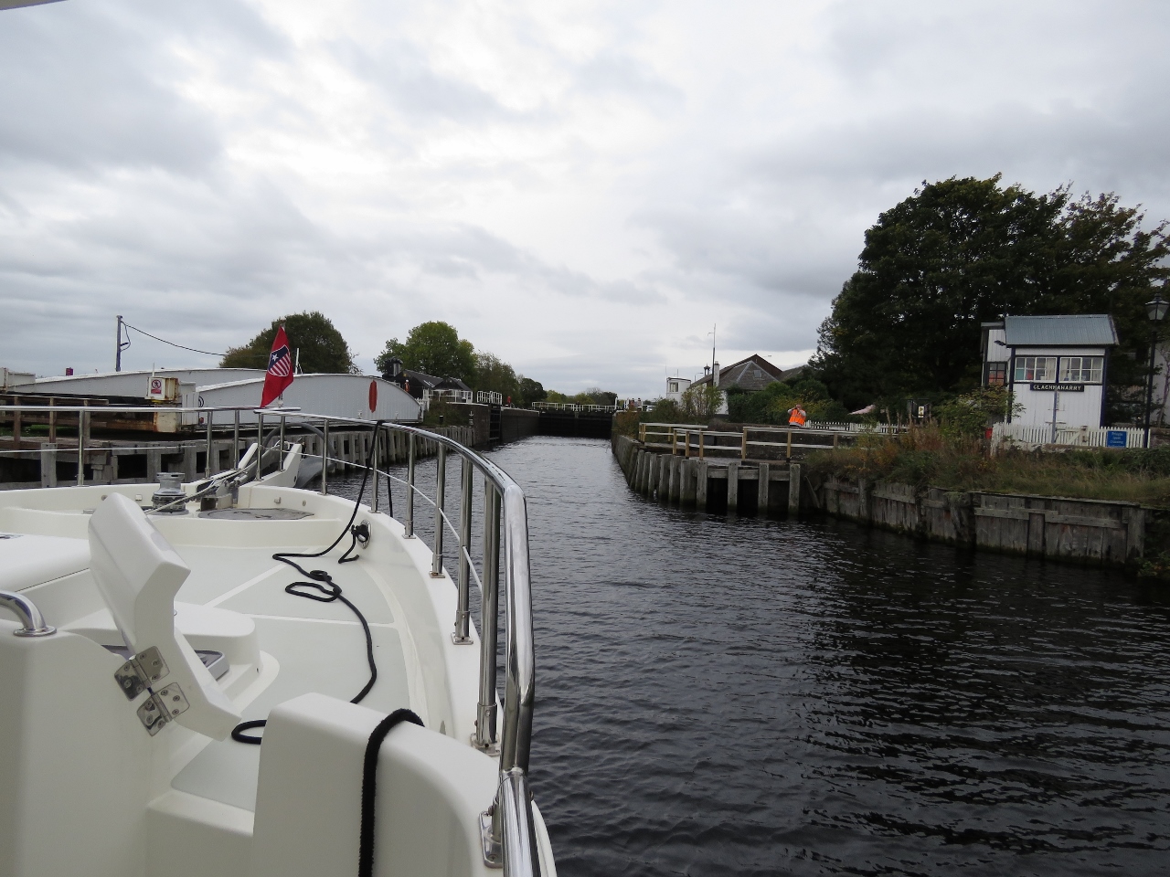
Clachnaharry Works Lock
Position: -4 15.34, 57 29.34
The gates closing behind us on our second and final lock for the day at Clachnaharry, just beyond the railway bridge.
|
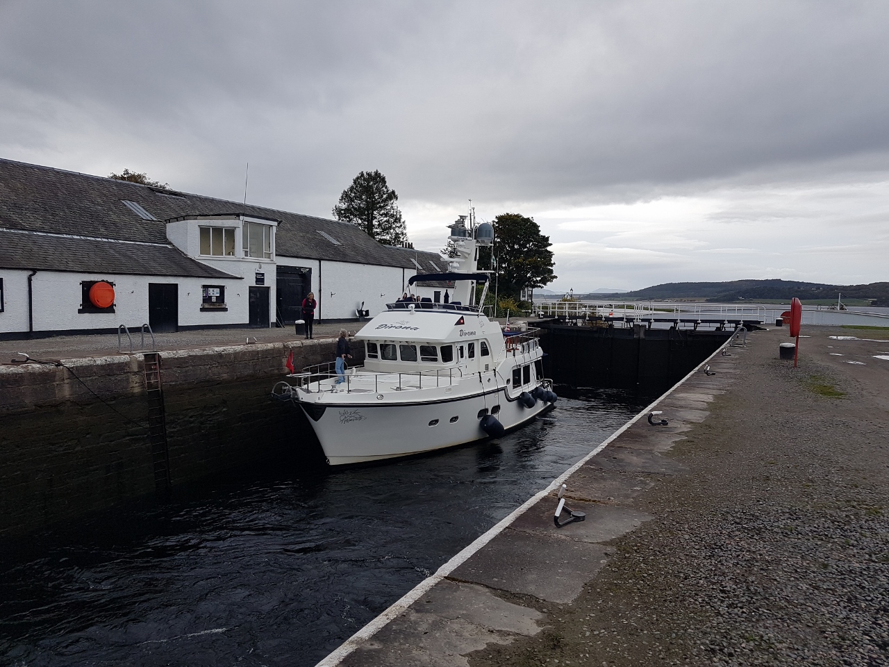 |
Rising
Position: -4 15.34, 57 29.34
Dirona rising in the Clachnaharry Works Lock. The Caledonian Canal locks feel roomy compared to the Crinan Canal. The maximum vessel dimensions in the Caledonian Canal are 150ft (45.72 m) long, with a 35ft (10.67m) beam and a 13.5ft (4.1m) draft, whereas for the maximums for the Crinan Canal are 88ft (26.82m ) long, with a 20ft (6.09m) beam and a draft of 8ft 10in (2.7m) (Neil White photo).
|
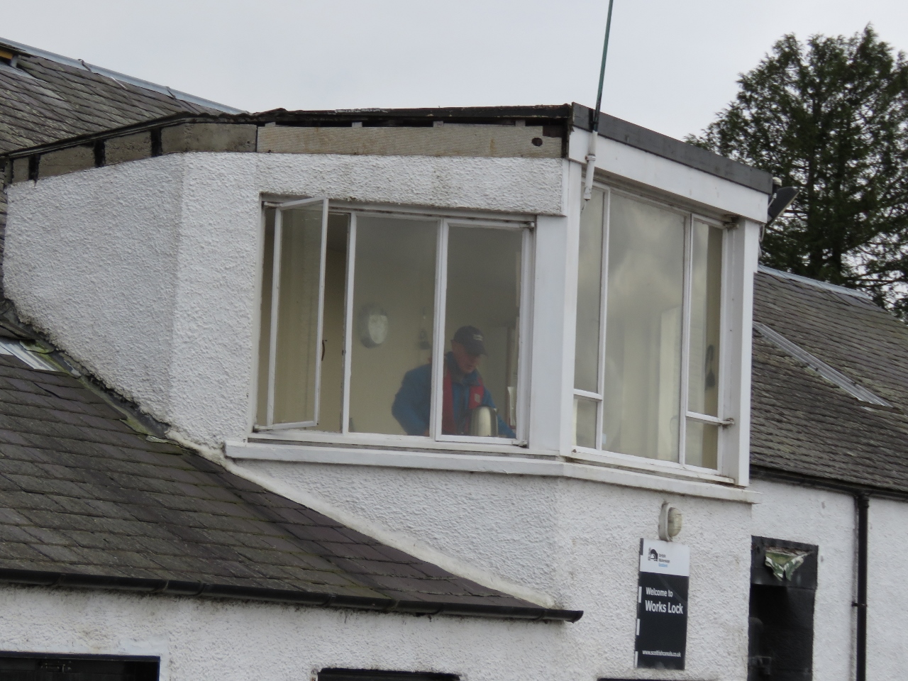 |
Lock Operator
Position: -4 15.32, 57 29.33
Another big difference between the Crinan and Caledonian Canals is that here the locks and sluice gates all are operated hydraulically by the canal staff, whereas we had to operate them ourselves manually on the Crinan. Jennifer felt like she was on vacation.
|
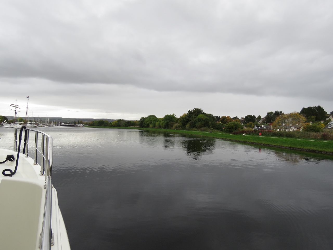 |
Muirtown Basin
Position: -4 15.15, 57 29.24
Entering tranquil Muirtown Basin where we’ll spend the night.
|
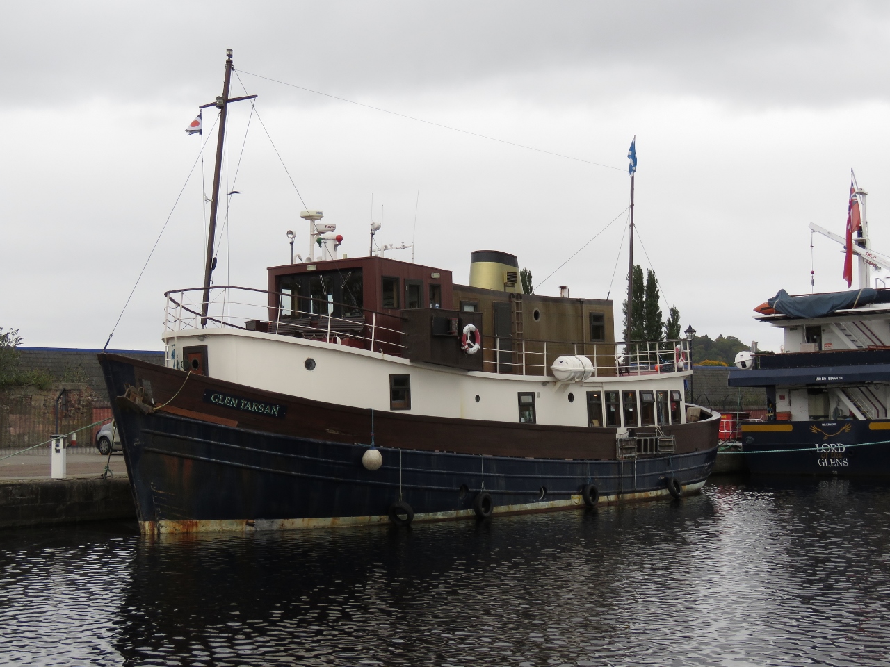 |
Glen Tarsan
Position: -4 14.78, 57 29.04
The Glen Tarsan is one of nearly a dozen cruise boats that ply the Caledonian Canal, taking guests on multi-day cruises.
|
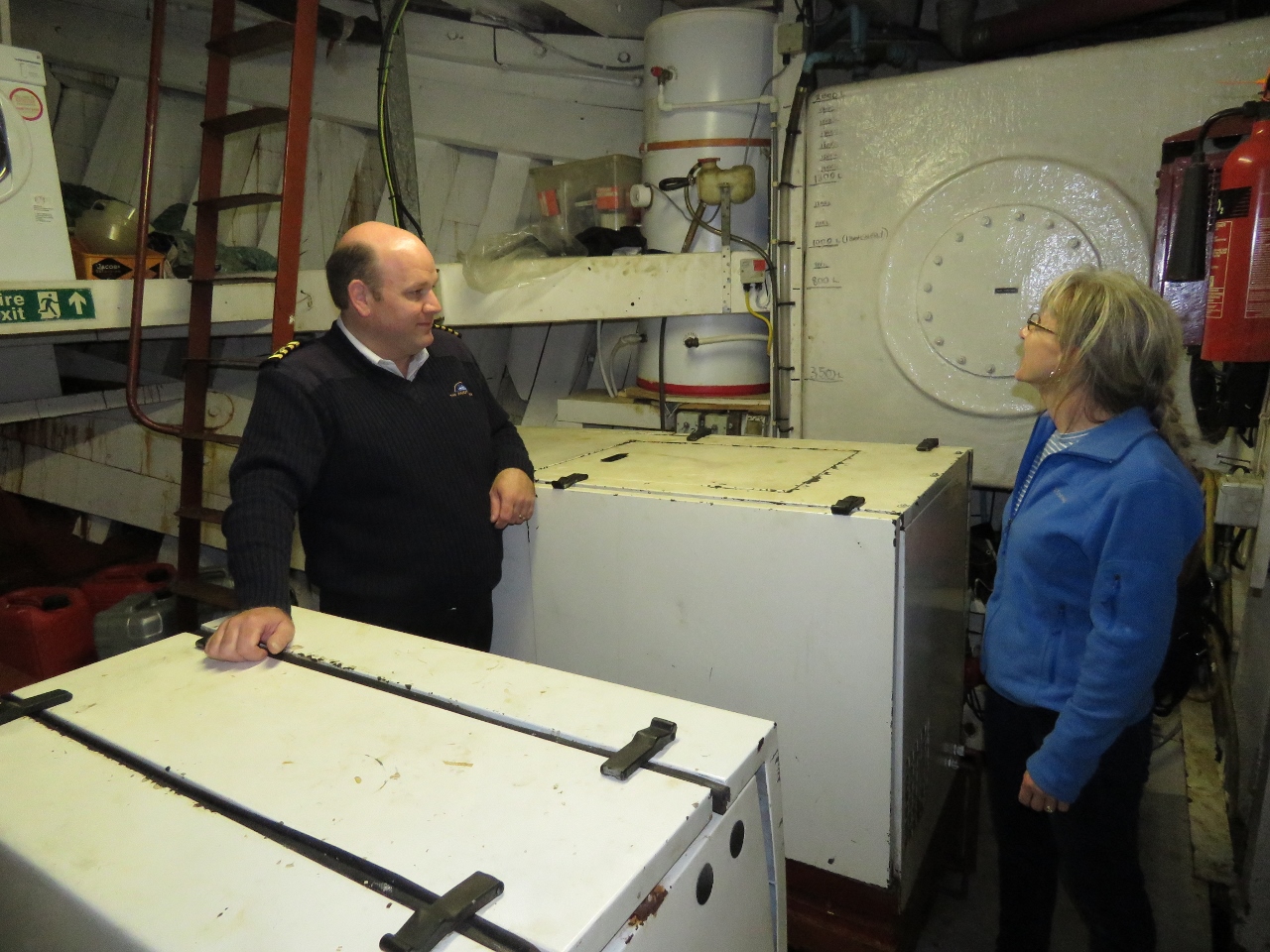 |
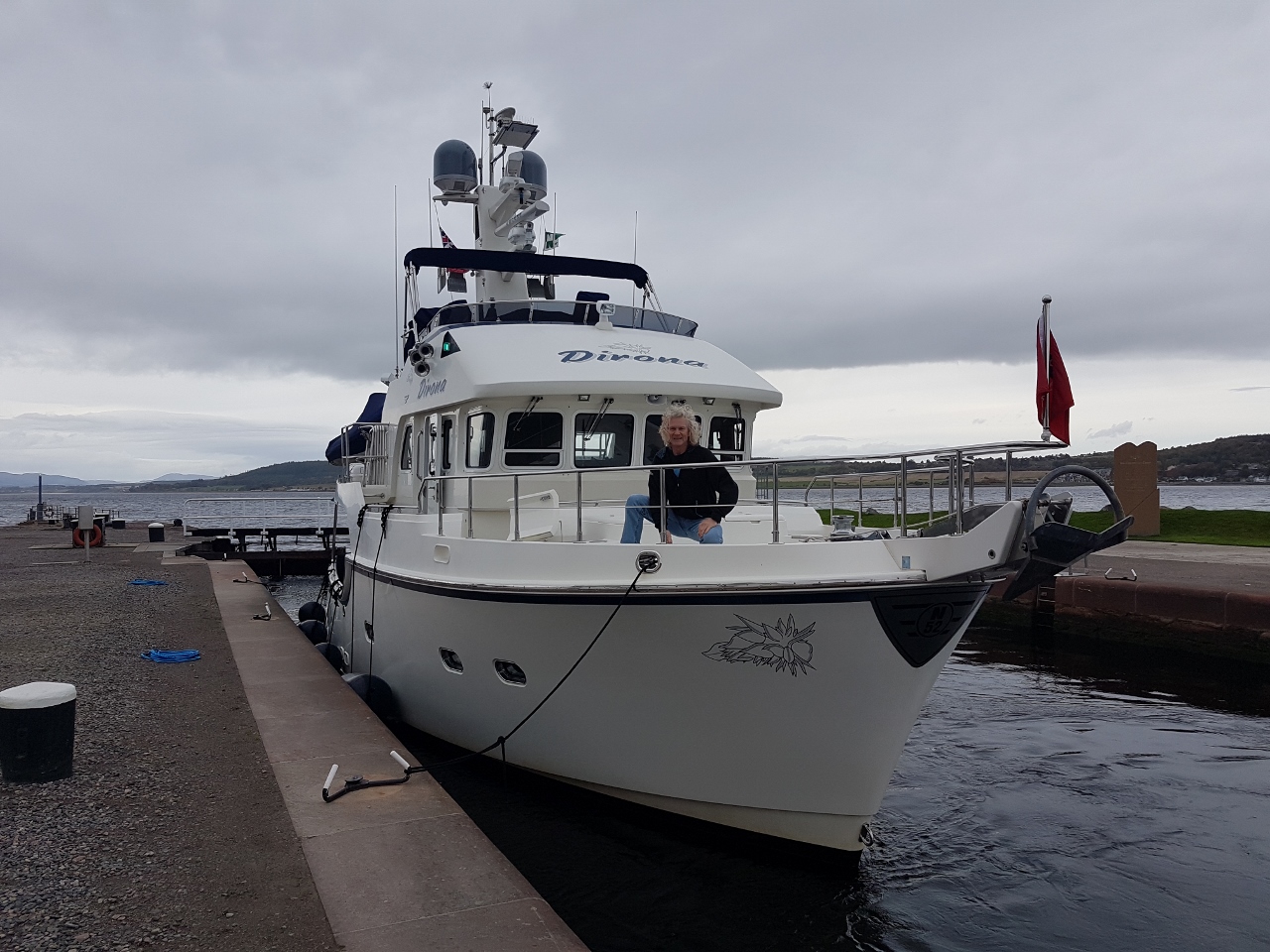
Neil White
Position: -4 14.78, 57 29.03
We’ve been in discussions with commercial captain Neil White since arriving in Scotland, and he’s been offering us advice on local cruising. By chance, he and his guests on the Glen Tarson are in the canal the same time we are and we got a tour of the ship.
|
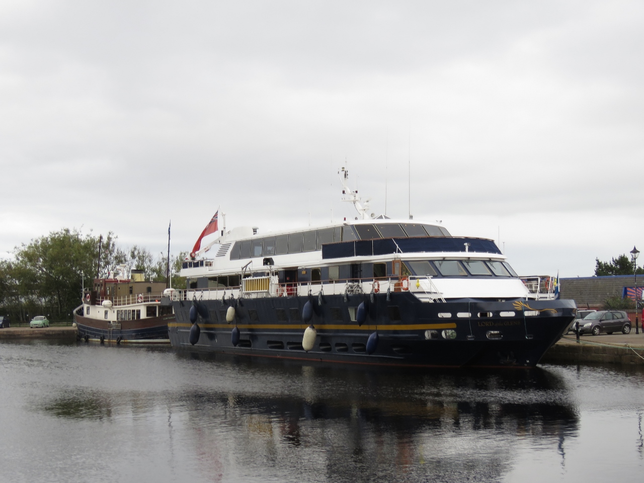 |
Lord of the Glens
Position: -4 14.86, 57 29.00
The Lord of the Glens is the largest cruise boat on the Caledonian Canal and was purpose-built for the job, absolutely filling the locks front-to-back and side-to-side.
|
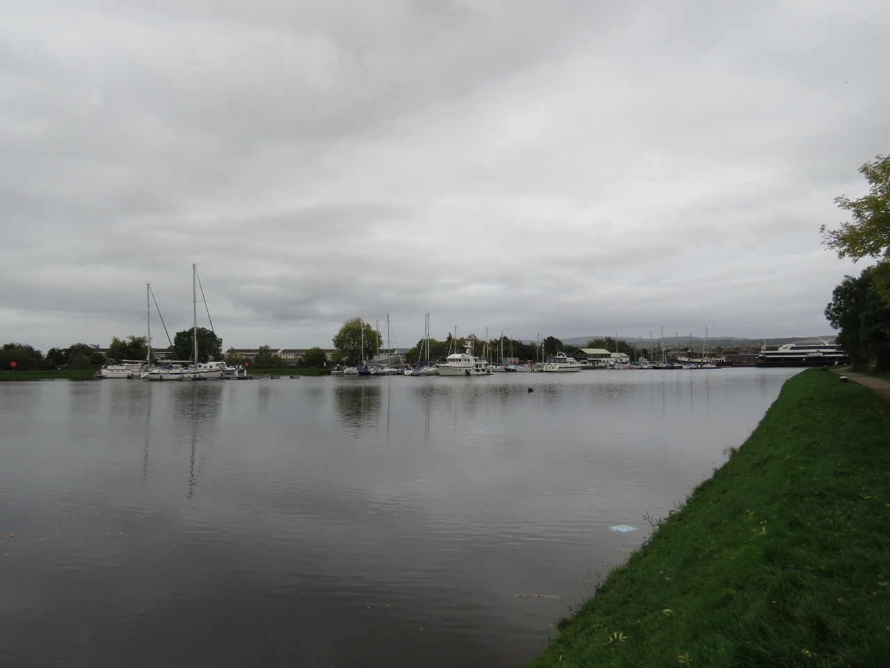 |
Seaport Marina
Position: -4 15.07, 57 29.11
Looking across the canal to Seaport Marina, where Dirona is moored for the night. Glen Tarsan and Lord of the Glens are visible in the distance (click image for larger view).
|
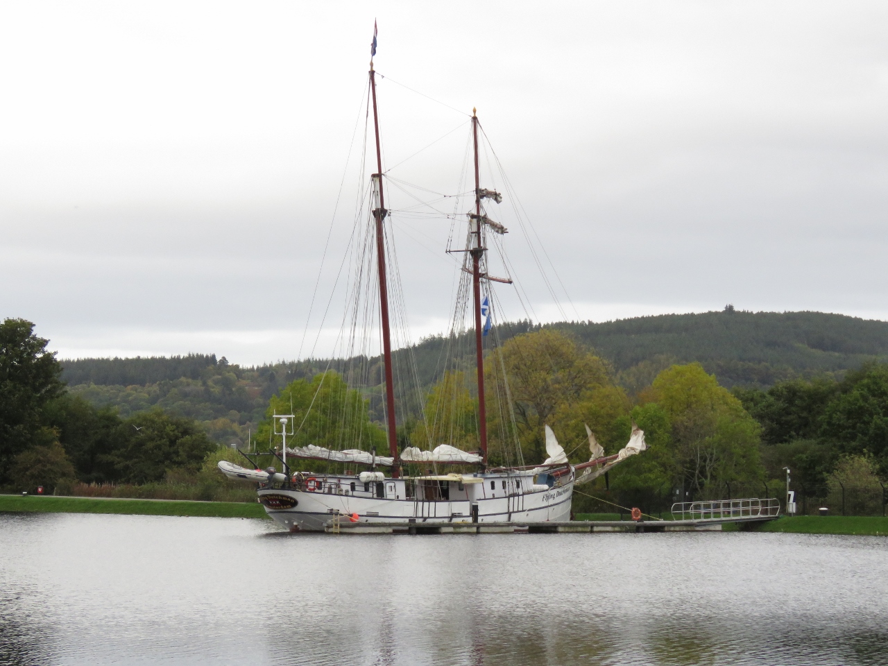 |
Flying Dutchman
Position: -4 15.07, 57 29.11
The sailing vessel Flying Dutchman will be departing tomorrow for a sailing tour to Amsterdam.
|
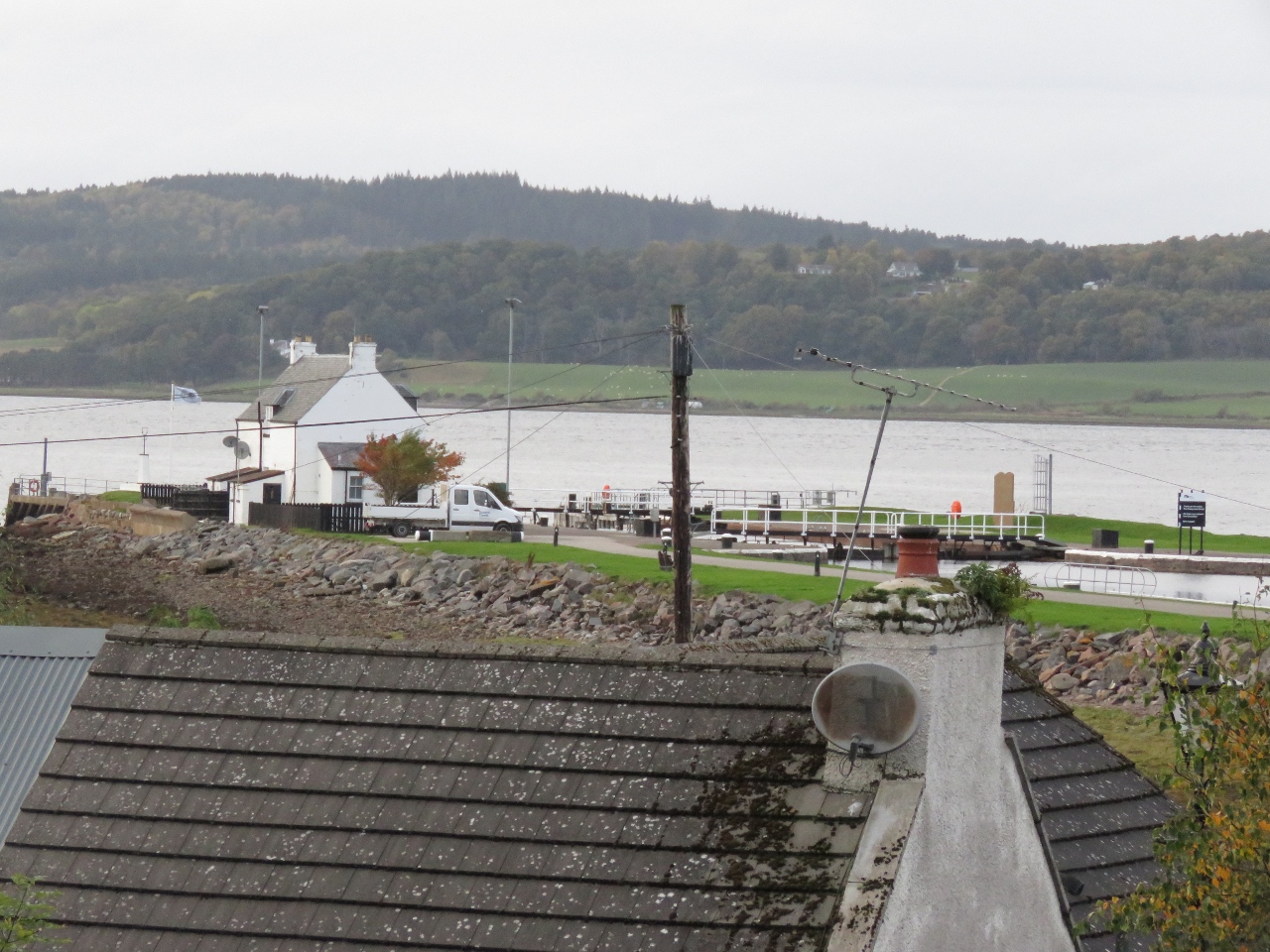 |
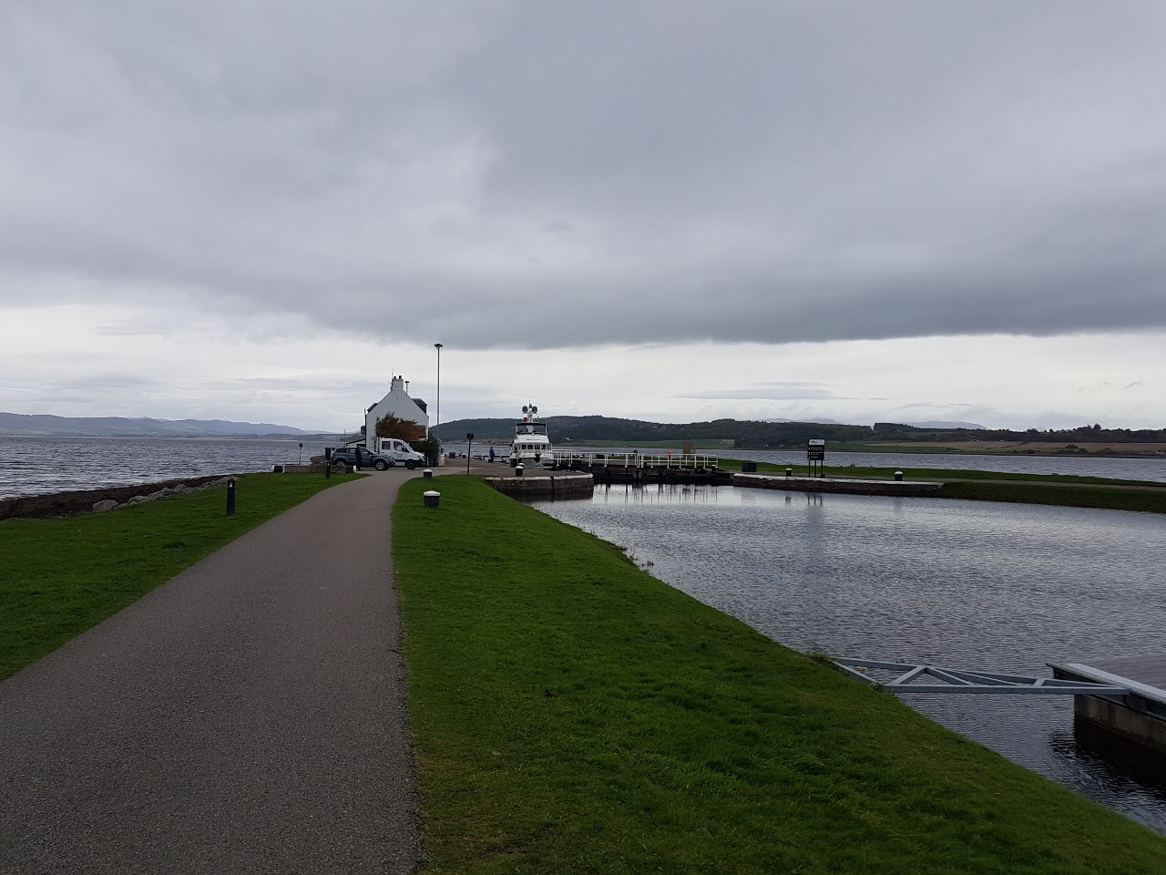
Clachnaharry Inn
Position: -4 15.50, 57 29.31
The view to the sea lock we’d just passed through from the Clachnaharry Inn, where we had an excellent meal.
|
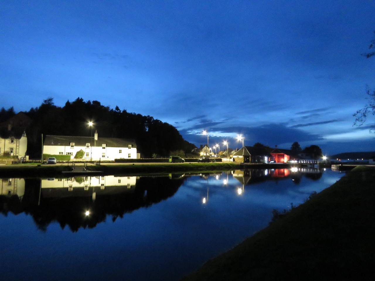 |
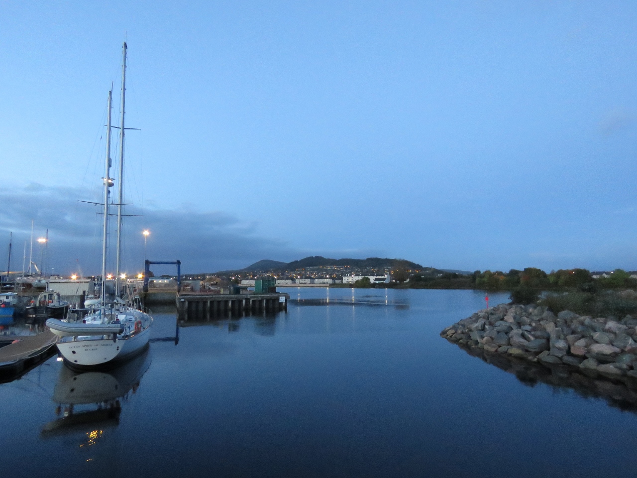
Evening
Position: -4 15.21, 57 29.31
Evening calm along the canal. This is a little different from the windswept Orkney Islands.
|

|
Click the travel log icon on the left to see these locations on a map, with the complete log of our cruise.
On the map page, clicking on a camera or text icon will display a picture and/or log entry for that location, and clicking on the smaller icons along the route will display latitude, longitude and other navigation data for that location. And a live map of our current route and most recent log entries always is available at http://mvdirona.com/maps. |
If your comment doesn't show up right away, send us email and we'll dredge it out of the spam filter.