The Pocosin Lakes National Wildlife Refuge includes 111,106 acres of wetlands south of Albermarle Sound. The refuge is home to over 300 different wildlife species including otters, muskrat, turtles, and the endangered red wolf, plus tens of thousands of migratory birds in the winter. Sponge-like peat soil in the wetlands retain water and hold it at a higher elevation than the surrounding landscape, creating what the Algonquin Indians called “pocosin”, meaning “swamp on a hill”. The wetlands also are a fire-adaptive system where many of the plants require fire to release new seeds and create conditions for new growth.
A portion of the park is accessible along the Scuppernog River by tender or via boardwalk at the park headquarters in Columbia, NC. We negotiated the narrow and shallow entry channel to anchor at the mouth, then ran the tender further upriver to have lunch in Columbia and explore the refuge.
Trip highlights from December 23rd, 2016 along the Scuppernog River and Albermarle Sound, NC follow. Click any image for a larger view, or click the position to view the location on a map. And a live map of our current route and most recent log entries always is available at http://mvdirona.com/maps
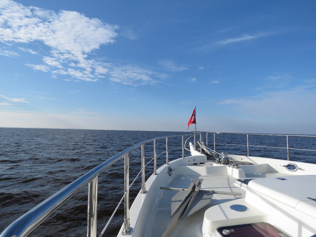 |
Albermarle Sound
Position: -76 13.29, 36 3.08
Strong winds blowing across the shallow waters of Albermarle Sound can generate conditions sufficiently rough that boaters can be stuck for several days waiting for good crossing conditions. The winds have mostly been light while we’ve been here, and the sound is smooth as we cross north to south.
|
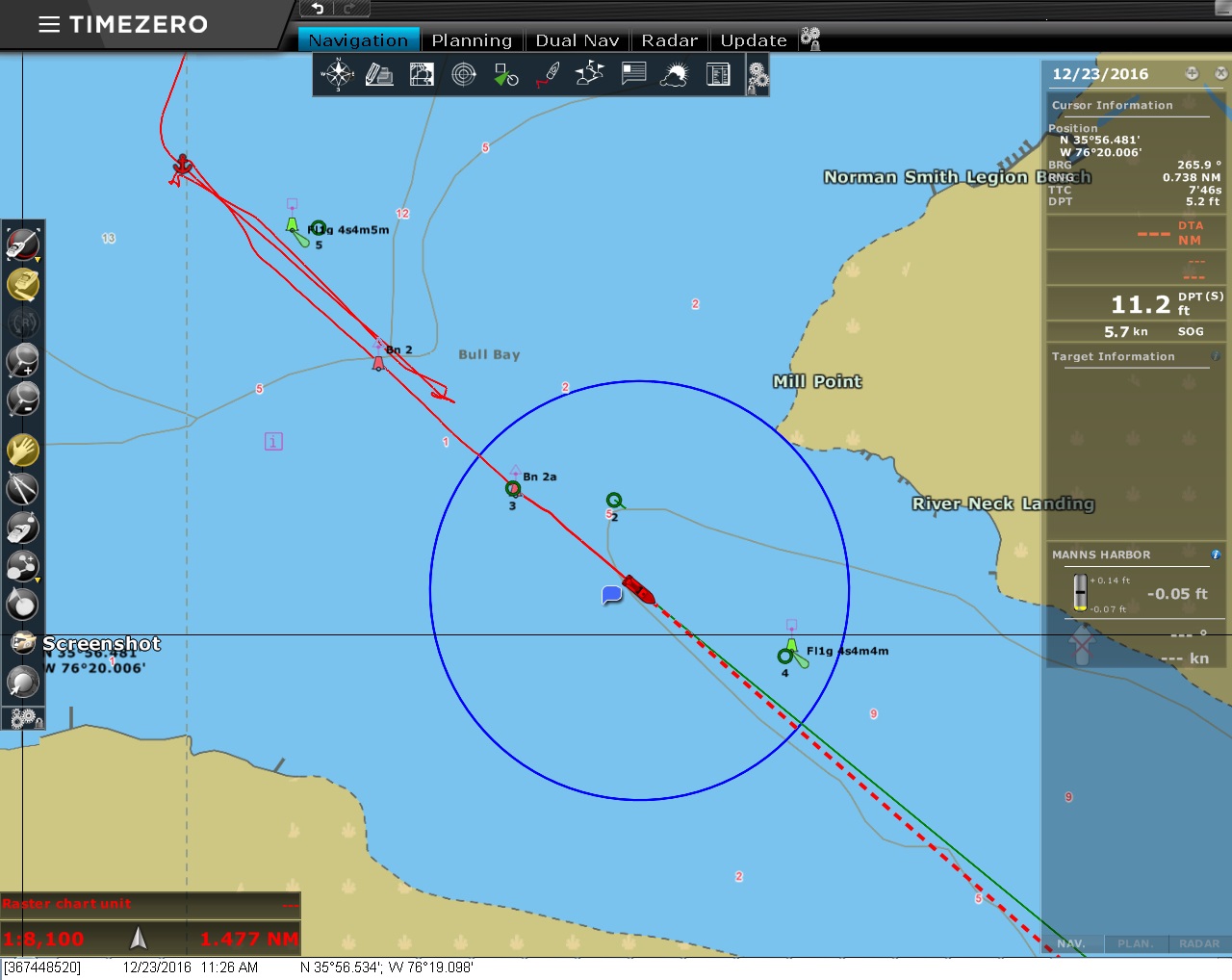 |
Shallows
Position: -76 19.27, 35 56.66
On our first attempt to enter the channel at the mouth of the Scuppernog River, we couldn’t find enough depth to get through running roughly center-channel between the red and green marks. We backed out, anchored temporarily, and surveyed by channel by tender finding 9 feet right up against the piles that mark the south edge of the channel (considerably off the charted channel).
|
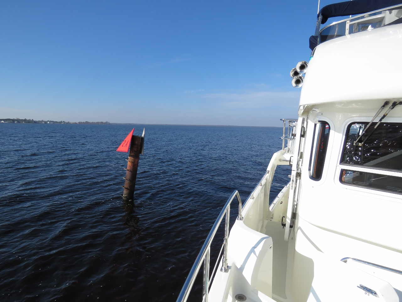 |
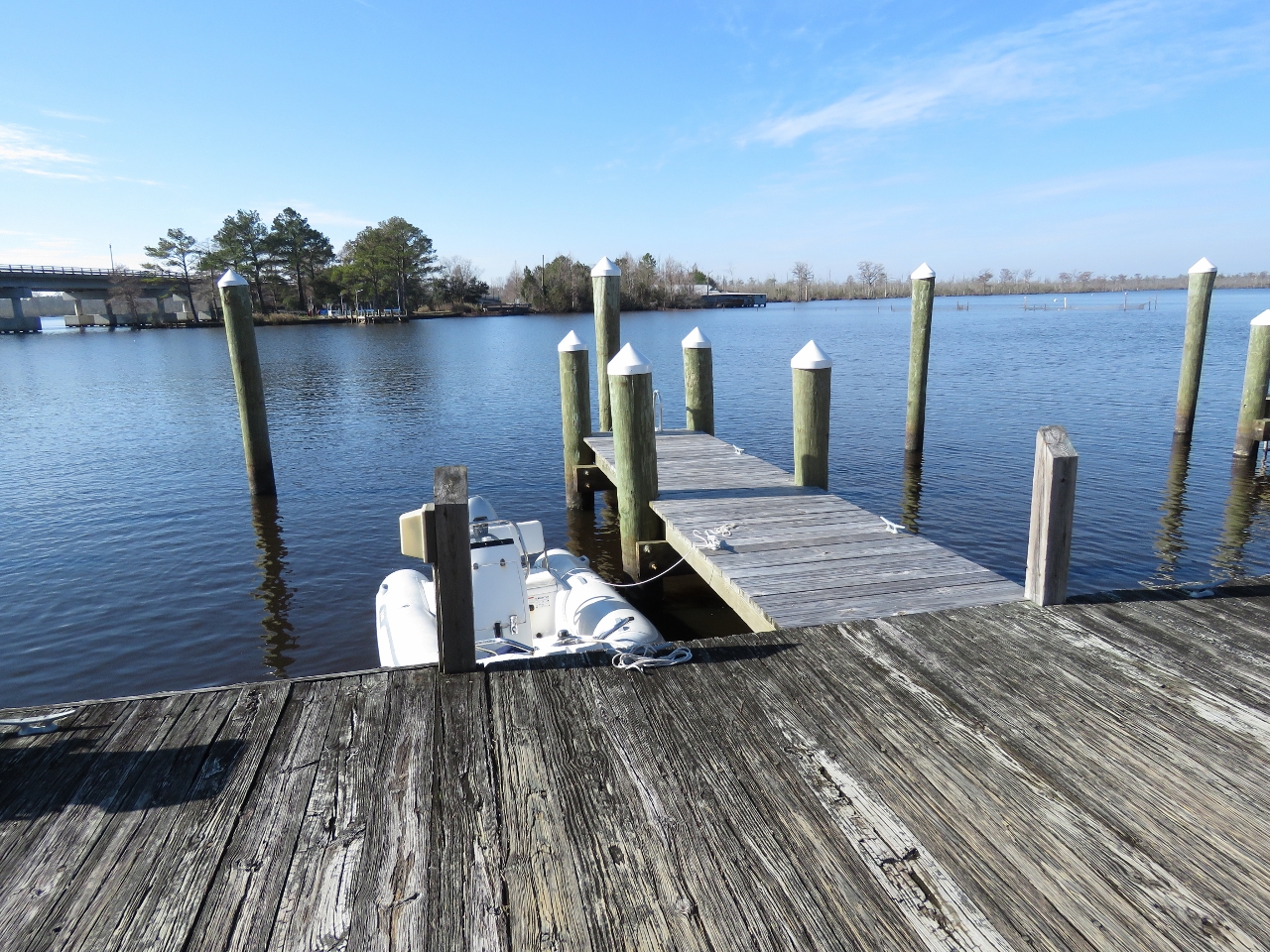
Channel
Position: -76 19.15, 35 56.57
Running as close as we dared to the red channel markers, we passed through with a minimum depth of 8ft and reached the sheltered anchorage on the other side.
|
 |
Columbia
Position: -76 15.26, 35 55.04
The tender tied off at the Columbia town dock.
|
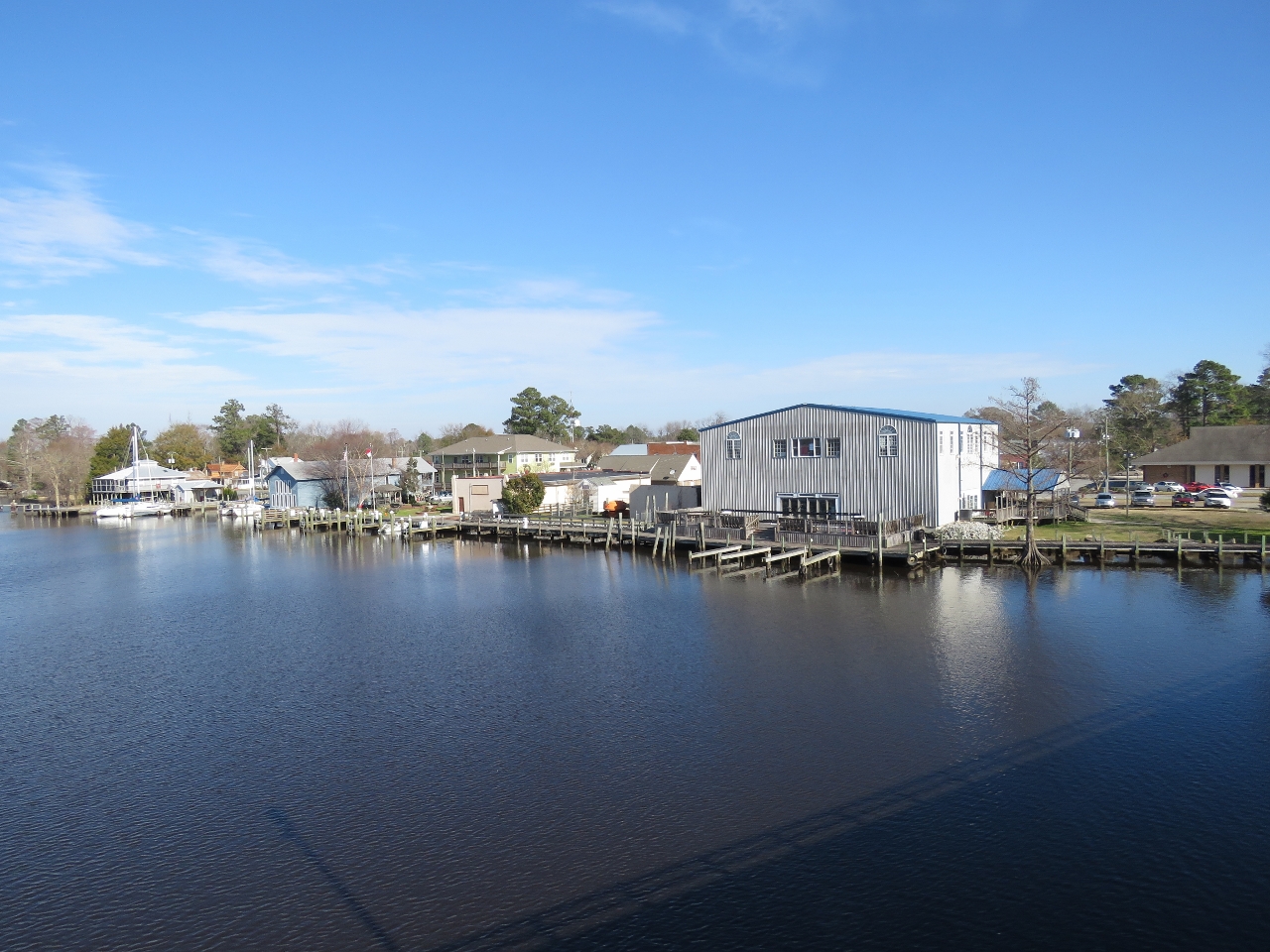 |
Boardwalk
Position: -76 15.25, 35 54.98
Looking back to the Columbia from the Highway 64 bridge. A nice boardwalk runs the length of the waterfront. Our tender is tied off at the town dock at the left of the photo.
|
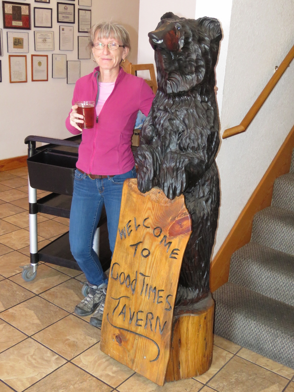 |
Good Times Tavern
Position: -76 15.15, 35 54.99
We had a good lunch, with incredibly friendly and attentive service, at The Good Times Tavern in Columbia. The restaurant is large and popular—almost every table was taken when we arrived.
|
|
|
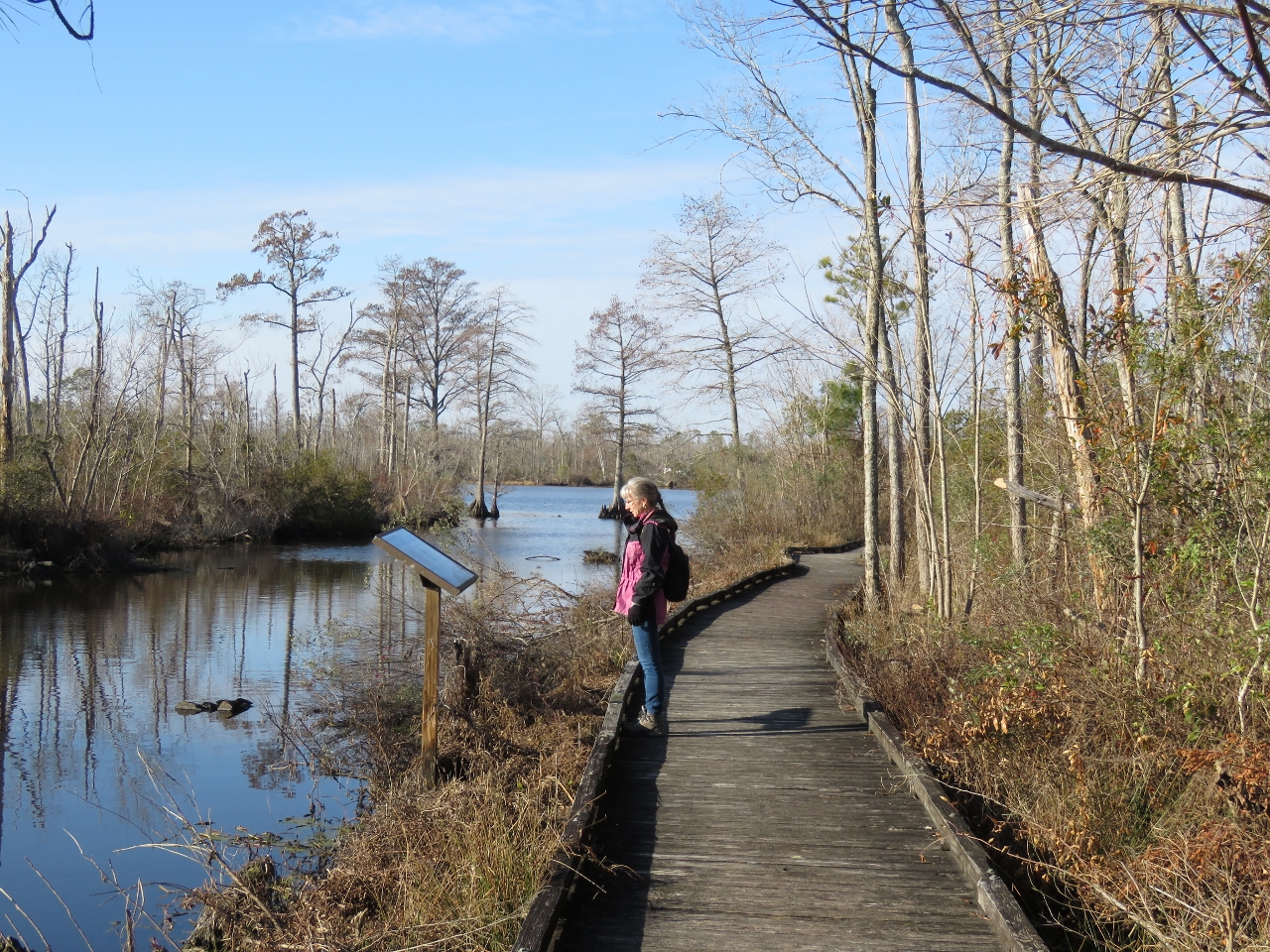
Pocosin Lakes
Position: -76 15.40, 35 54.84
The headquarters for the Pocosin Lakes National Wildlife Refuge is in Columbia. They have an excellent boardwalk with many interpretive signs that runs along the Scuppernog River and one of it’s tributaries.
|
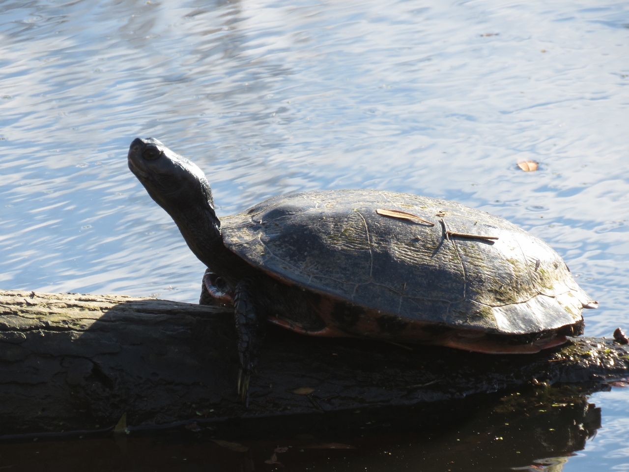 |
Turtle
Position: -76 15.36, 35 54.81
A turtle sunning in the Pocosin Lakes National Wildlife Refuge.
|
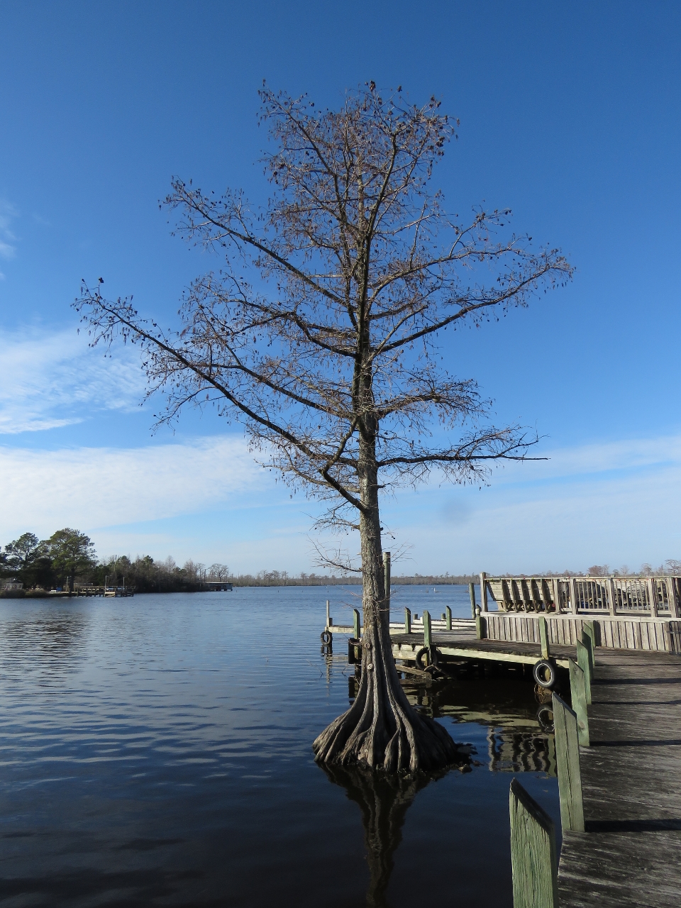 |
Roots
Position: -76 15.26, 35 55.01
Trees like this, with roots in the river, grow all along the waterway.
|
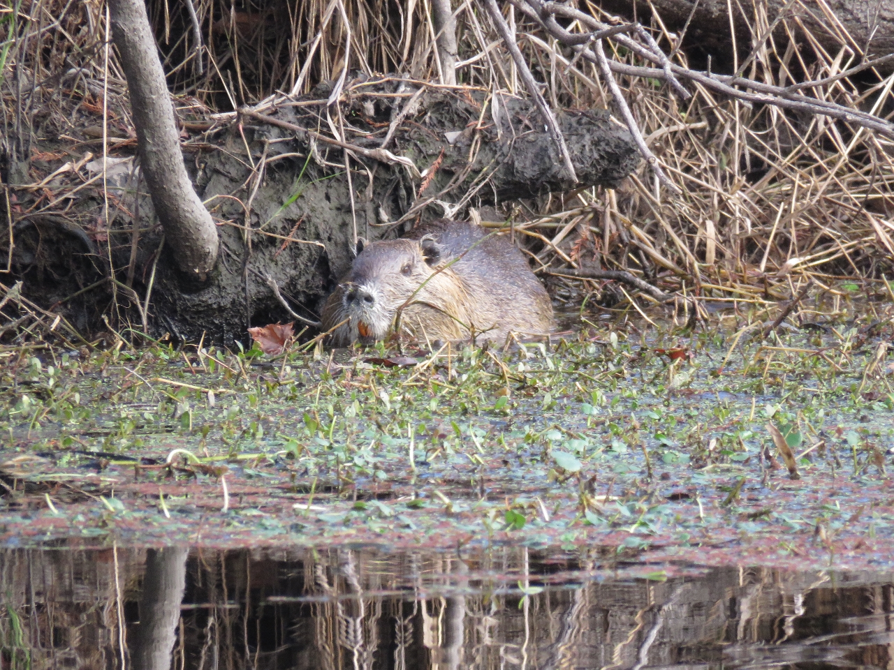 |
Muskrat
Position: -76 15.18, 35 53.95
Muskrat along an arm of the Scuppernog River.
|
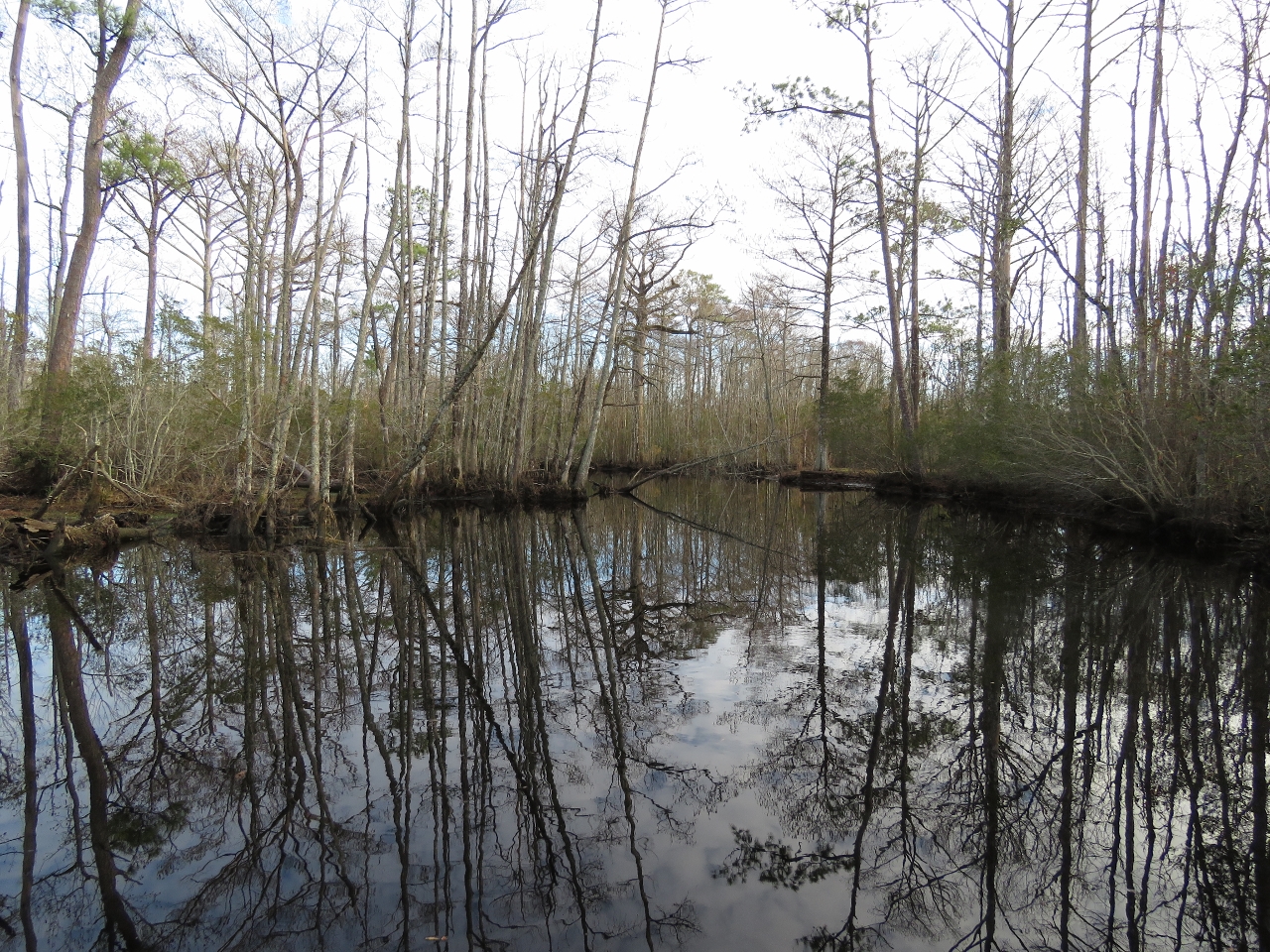 |
River tour
Position: -76 14.25, 35 53.49
Swamp scene reflecting in still waters on our tender tour of the Scuppernog River. We took one of the smaller arms rather than the main river as it seemed more intimate and interesting.
|
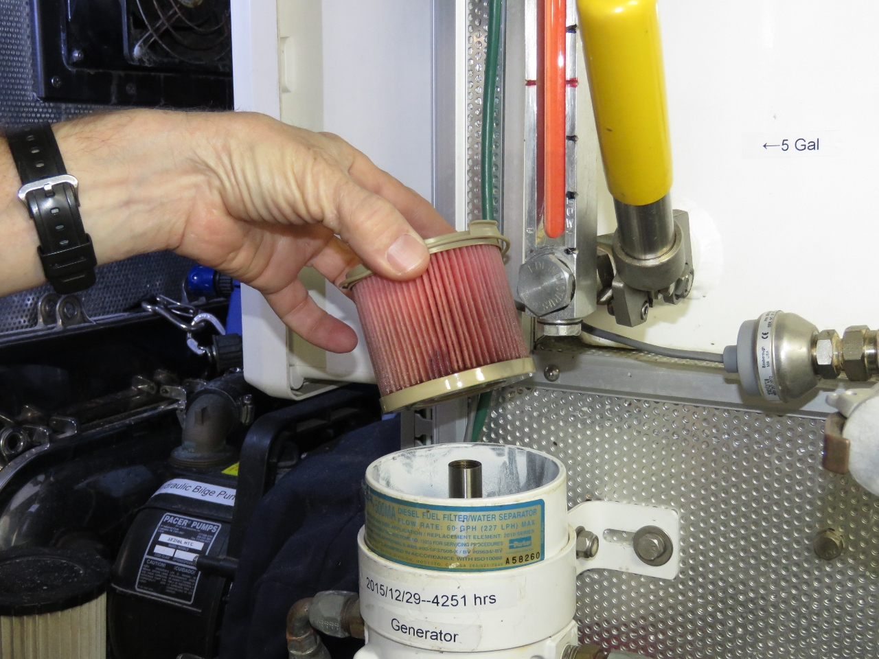 |
Fuel Filter
Position: -76 18.14, 35 55.99
We last changed the generator fuel filter 12 months and 309 hours ago, so it was due for a change. Nice to see the filter in reasonable shape though.
|
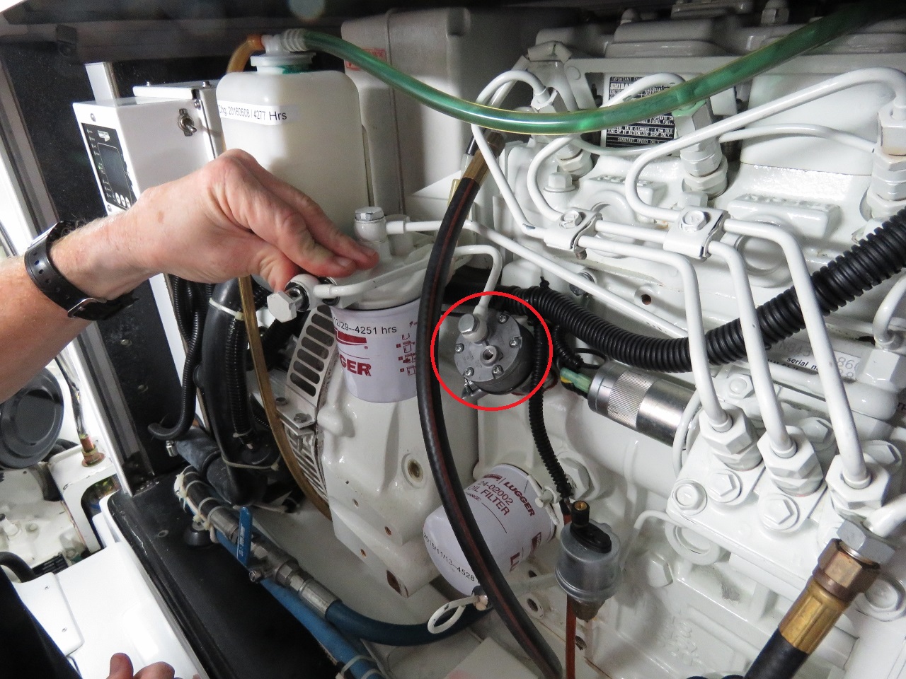 |
Fuel Pump
Position: -76 18.13, 35 55.99
The generator fuel pump, circled in red was leaking a bit of oil, so we replaced it with a spare. In the picture, James is installing the fuel pump-to-fuel filter line and is just about to notice that it’s on the wrong pump port.
|

|
Click the travel log icon on the left to see these locations on a map, with the complete log of our cruise.
On the map page, clicking on a camera or text icon will display a picture and/or log entry for that location, and clicking on the smaller icons along the route will display latitude, longitude and other navigation data for that location. And a live map of our current route and most recent log entries always is available at http://mvdirona.com/maps. |
What i love about your blog is that you are two of the most thorough travelers I have come across. By that I mean you take extra time and effort to discover a site, a park, a restaurant, a museum, or anything else worth visiting. You don’t just cruise and travel, you savor. I loved the photos of the nature park along the Scuppernog River.
Thanks for passing that on John. We love exploring new areas. The last few days we have been heads down inside working on our open source router project but it’s time to get back exploring. Winds are up a bit today and are expected to be tomorrow as well so we’ll likely get underway Tuesday.