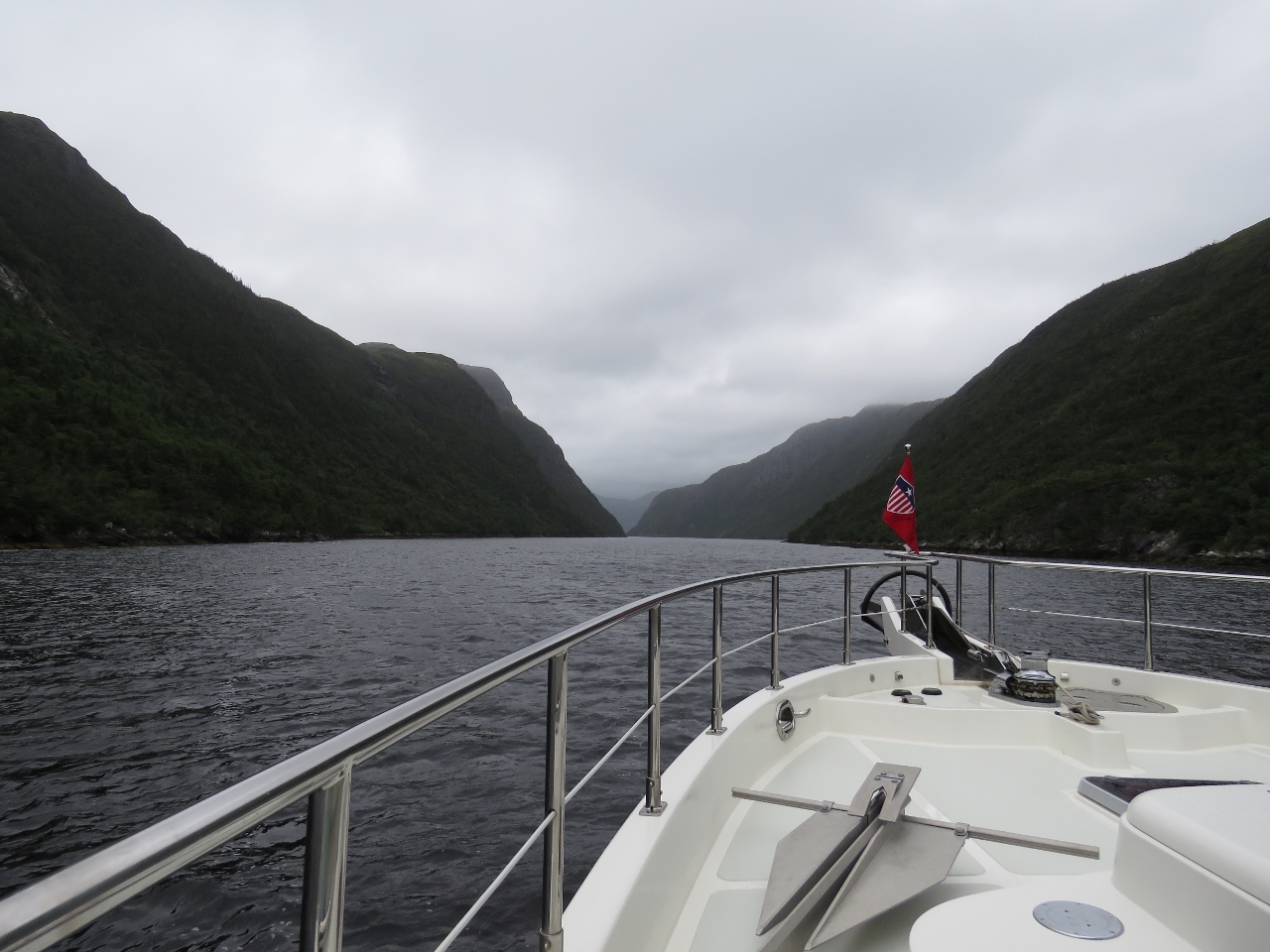
The narrow entrance channel to Grey River is a gap in the cliffs only 450-ft wide and hardly is visible until you are right up to it. We’d timed our entrance for low-water slack as an ebb current against wind and swell can generate steep and rough seas outside the entrance. Even without any opposing current, in 2-3m swell the waves stacked up enough at the narrow opening that it wasn’t an easy entrance. Once through the narrow gap, the waterway inside is calm and sheltered, with soaring cliffs and the small outport of Jerts Cove strung alongshore.
Trip highlights from August 26th and 27th follow. Click any image for a larger view, or click the position to view the location on a map. And a live map of our current route and most recent log entries always is available at http://mvdirona.com/maps
 |
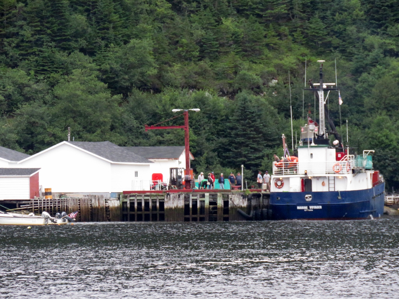
Marine Voyager
Position: -57 3.37, 47 33.55
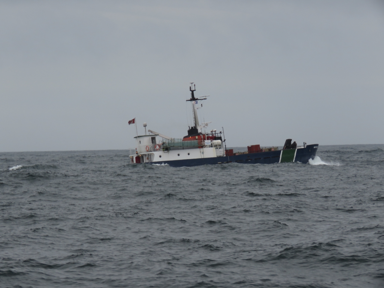
The ferry Marine Voyager rolling in 2-3m swell. With our stabilizers we weren’t moving nearly as much, but it was pretty rough out there. The ferry passed us en route from Francois to Grey River.
|
 |
Grey River
Position: -57 6.70, 47 34.48
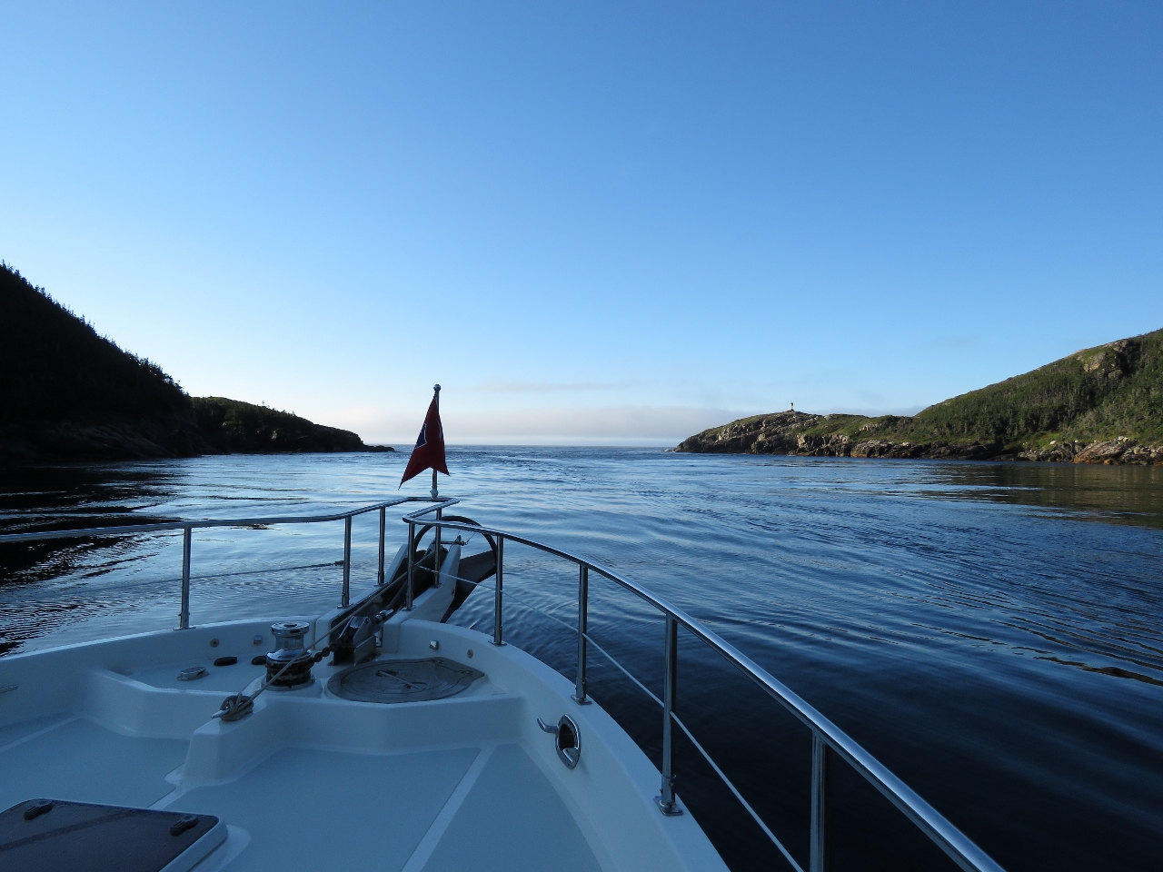
Looking back after passing through the entrance to Grey River. The narrow entrance channel in the cliffs is only 450-ft wide (and feels much tighter) and hardly is visible until you are right up to it. We’d timed our entrance for low-water slack as an ebb current against wind and swell can generate steep and rough seas outside the entrance. We watched the ferry Marine Voyager go through ahead of us and followed a similar course. Even without any opposing current, in 2-3m swell the waves stacked up enough at the narrow opening that it wasn’t an easy entrance.
|
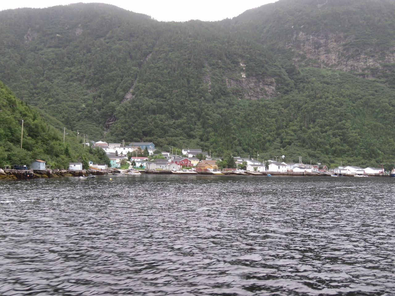 |
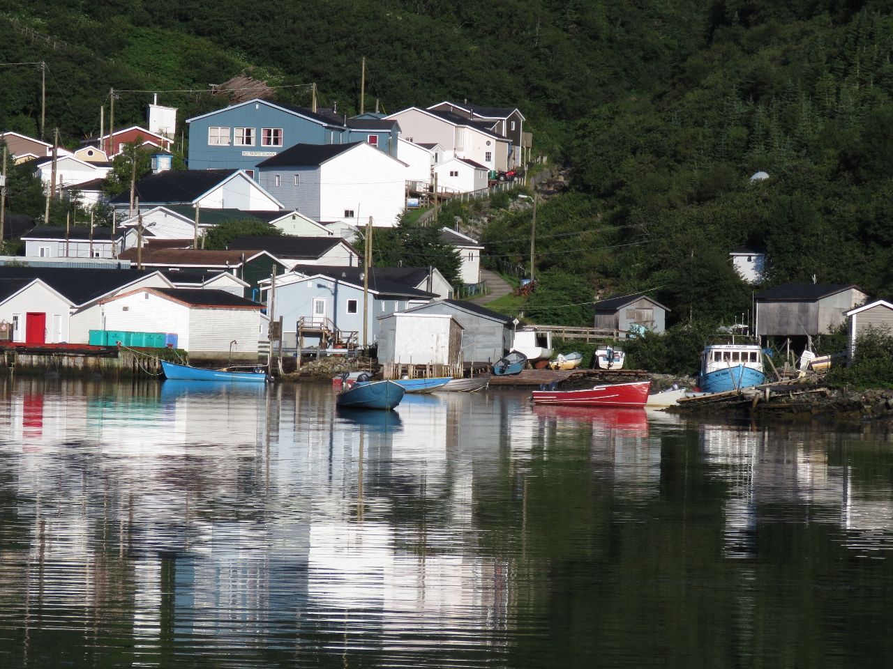
Jerts Cove
Position: -57 6.21, 47 35.17
The outport of Jerts Cove strung alongshore beneath the mountains in Grey River.
|
 |
Loading
Position: -57 6.32, 47 35.05
The ferry Marine Voyager had only preceded us into Grey River by about ten minutes, but already was on the dock and taking on passengers and freight. It left the dock shortly after we passed. We don’t think it was even on the dock for ten minutes.
|
 |
Grey River
Position: -57 5.65, 47 35.33
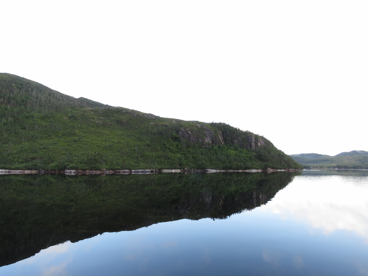
Even on a rainy, overcast day the scenery in Grey River still is impressive.
|
 |
Northwest Arm
Position: -57 4.37, 47 39.03
We checked out Northeast Arm, but decided on Northwest Arm for an anchorage as it seemed more sheltered and snug.
|
 |
Jerts Cove
Position: -57 5.76, 47 35.29
The morning sun lighting up boats moored off Jerts Cove as we exit Grey River.
|
|
|
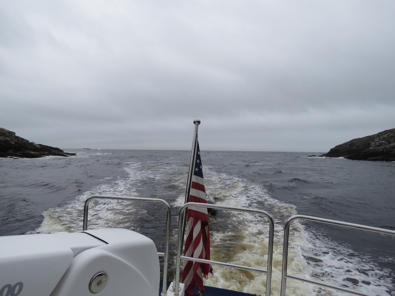
Conditions
Position: -57 6.74, 47 34.67
Conditions were much calmer at the Grey River entry than yesterday, even with a slight ebb current working against the swell.
|

|
Click the travel log icon on the left to see these locations on a map, with the complete log of our cruise.
On the map page, clicking on a camera or text icon will display a picture and/or log entry for that location, and clicking on the smaller icons along the route will display latitude, longitude and other navigation data for that location. And a live map of our current route and most recent log entries always is available at http://mvdirona.com/maps. |
J&J: A cool video of your transit through St Peters Canal. The Canal seems so intimate and park-like. Looks like the bridge doesn’t quite swing all the way open, so I guess you just steer around it. I assume it’s a one-way waterway, as it looks quite narrow in the photos. Do the oncoming boats queue up where Dirona tied up for the night? Thanks…. Alex
Alex, the whole thing was a lot smaller than we were expecting. The locks were the second smallest we’ve taken Dirona through. The smallest was in Darwin: //mvdirona.com/Trips/Australia2014/Australia18.html?bleat=7%2F7%2F2015%3A+Locking+through. And the biggest was one along the Columbia River, such as the Bonneville Dam: //mvdirona.com/2012/05/upriver-and-locking-through-the-bonneville-dam/
The bridge did open all the way, it just hadn’t in the pictures. And to minimize the amount of time spent, we usually push through once we can fit.
The canal is one-way. They asked us to wait for the kayakers to clear before we proceeded (that was before asking if we needed the bridge opened). The lock operators come down and open the bridge, then return and operate the locks.
And yes, the oncoming boats entering the lakes will wait where we tied off. There’s tons of room on both sides, but we checked with the lockmaster to make sure they were ok with us tying off there for the night in case a larger ship might be coming through later that day or first thing in the morning.
Adjustable wrench to tighten the leaking hydraulic fitting? Didn’t have to correct size open end wrench??
Andy, as an ex-professional mechanic I’m always embarrassed when we post a picture with me using an adjustable wrench. But, over the years, I’ve become more accustomed to it. With the big fittings found on hydraulics and some of the other machinery with some being metric and some SAE, it’s hard to have all the needed tools on a boat so I end up compromising and using adjustables for some tasks. And, modern adjustables actually work fairly well so there are times when I do a quick fix with an adjustable when I could dig out the right wrench but don’t bother.