We took a taxi from the Rodney Bay marina to explore Pigeon Island National Landmark. The island once was detached from the mainland until a causeway was built in 1973, and has a lengthy naval history: it was a pirate’s hideout in the 1500s, a British naval base starting in the 1700s, and a US naval air station during World War II. And like most coastal fortifications, the island has sweeping views over the surrounding area.
Trip highlights from March 3rd follow. Click any image for a larger view, or click the position to view the location on a map. And a live map of our current route and most recent log entries always is available at http://mvdirona.com/maps
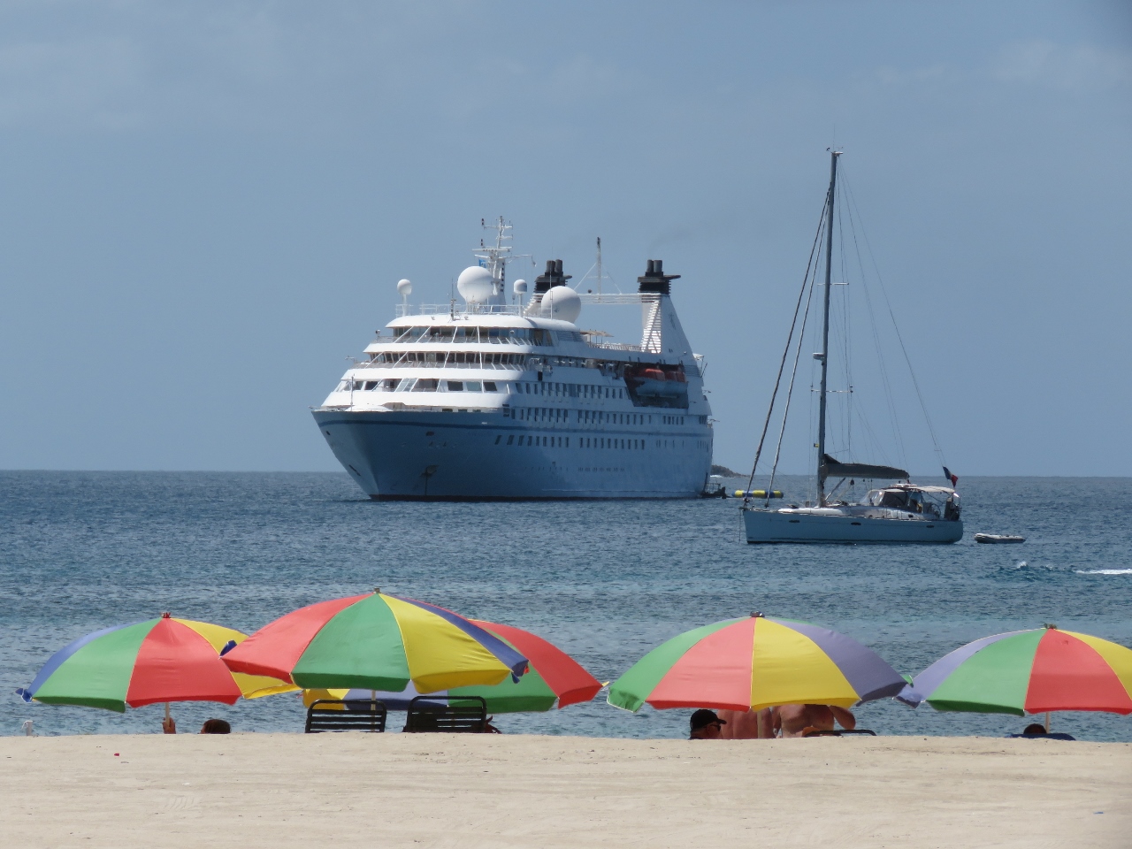 |
Beach
Position: -60 57.72, 14 5.55
A popular beach is adjacent to Pigeon Island, with plenty of people out enjoying the sunny day. The cruise ship in the background is the Star Legend.
|
 |
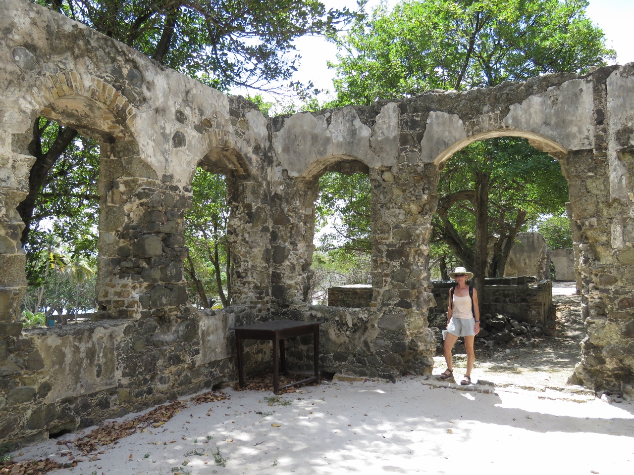
Officer’s kitchen
Position: -60 57.70, 14 5.59
Starting in the late 1700s the British navy occupied and fortified Pigeon Island. Many of the ruins from that time still stand and are being restored. This is the officer’s kitchen.
|
 |
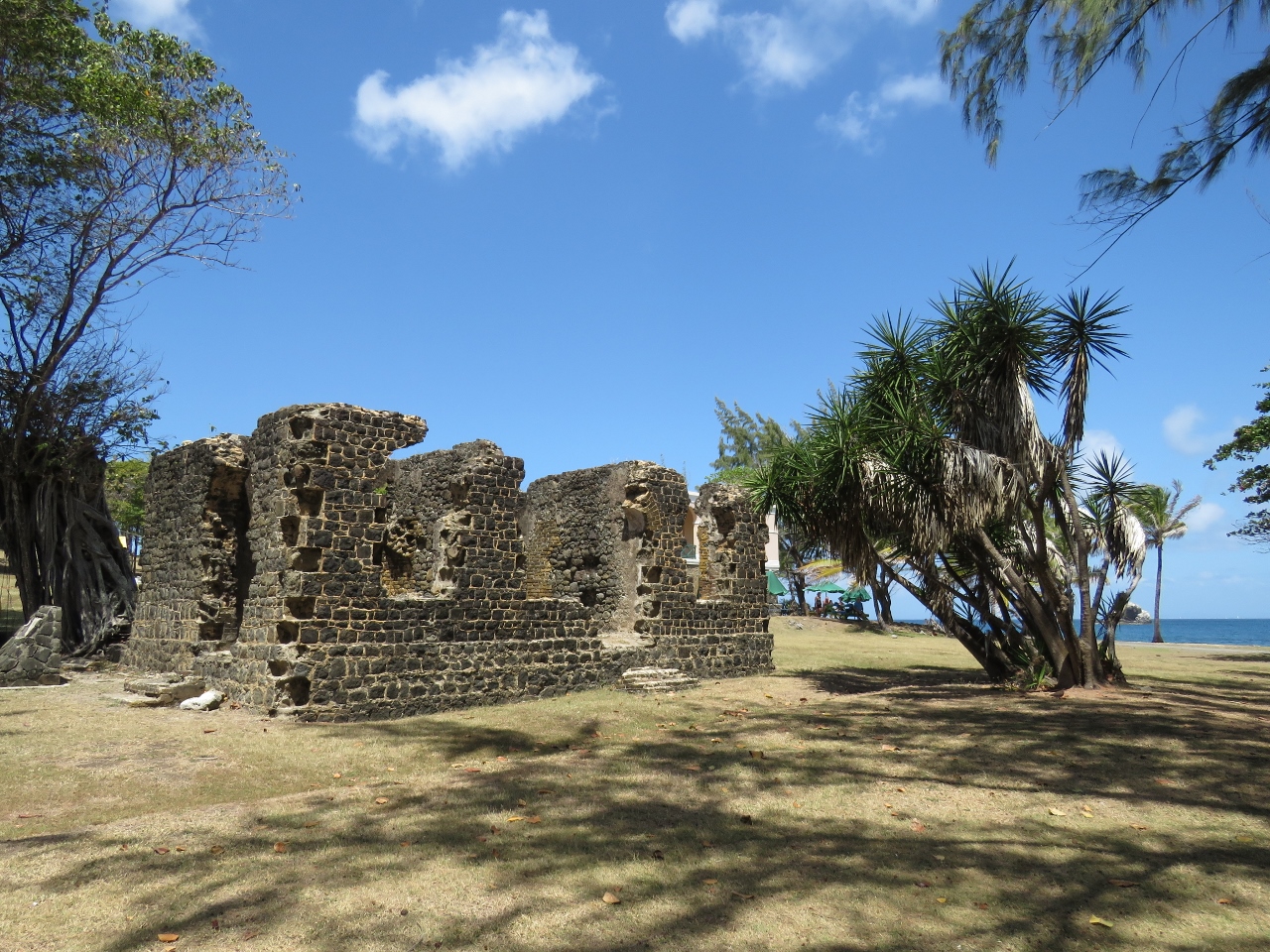
Soldier’s barracks
Position: -60 57.78, 14 5.61
The ruins of the soldier’s barracks on Pigeon Island.
|
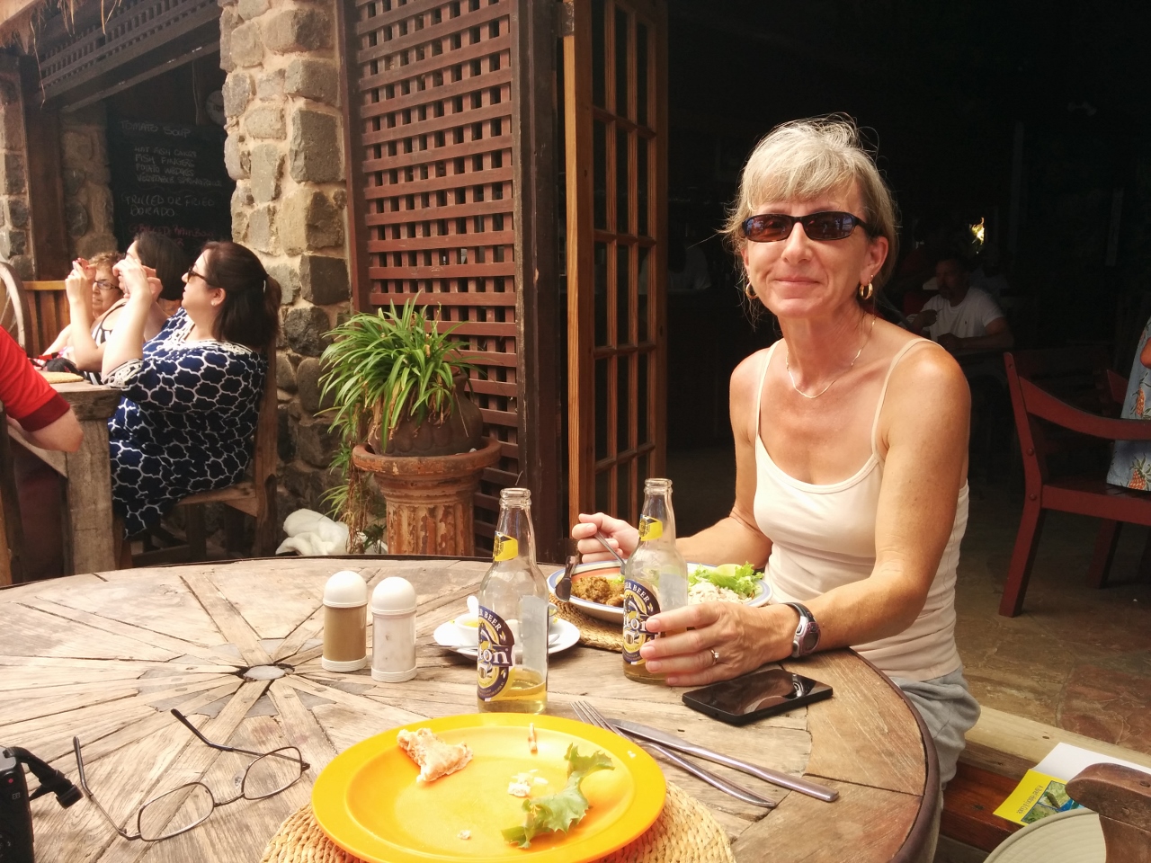 |
Jambe de Bois
Position: -60 57.88, 14 5.51
We had a good meal on the patio at the Jambe de Bois restaurant. In the 1500s, Pigeon Island was a pirate’s hideaway. The restaurant is named after the famous pirate Francois Leclerc, known as Le Capitaine Jambe de Bois because of his wooden leg, who was said to have hid out here.
|
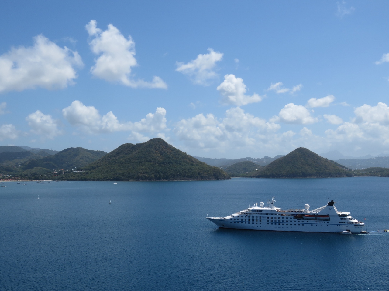 |
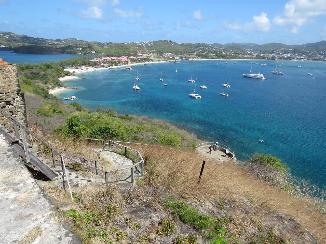
Fort Rodnay
Position: -60 57.99, 14 5.46
The main reason we came to Pigeon Island was for the fabulous views. This is looking south across Rodney Bay from Fort Rodney. The 443ft Star Legend below is about half the size of the Alaska cruise ships we used to see at Bell Harbor in Seattle, such as the 964ft Celebrity Infinity. And it carries only 212 guests with a crew of 153, compared to 2,170 passengers and 999 crew on the Celebrity Infinity. Under a previous name, Seabourn Legend, the Star Legend appeared in the movie Speed 2 .
|
|
|
Rodney Bay
Position: -60 58.00, 14 5.47
The view southeast from Fort Rodney across Rodney Bay to the causeway that connects Pigeon Island with the mainland.
|
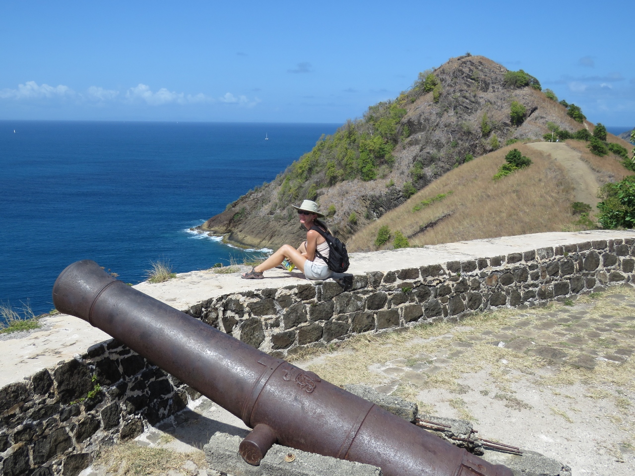 |
Cannon
Position: -60 58.01, 14 5.47
A few old cannons still are in place around the island.
|
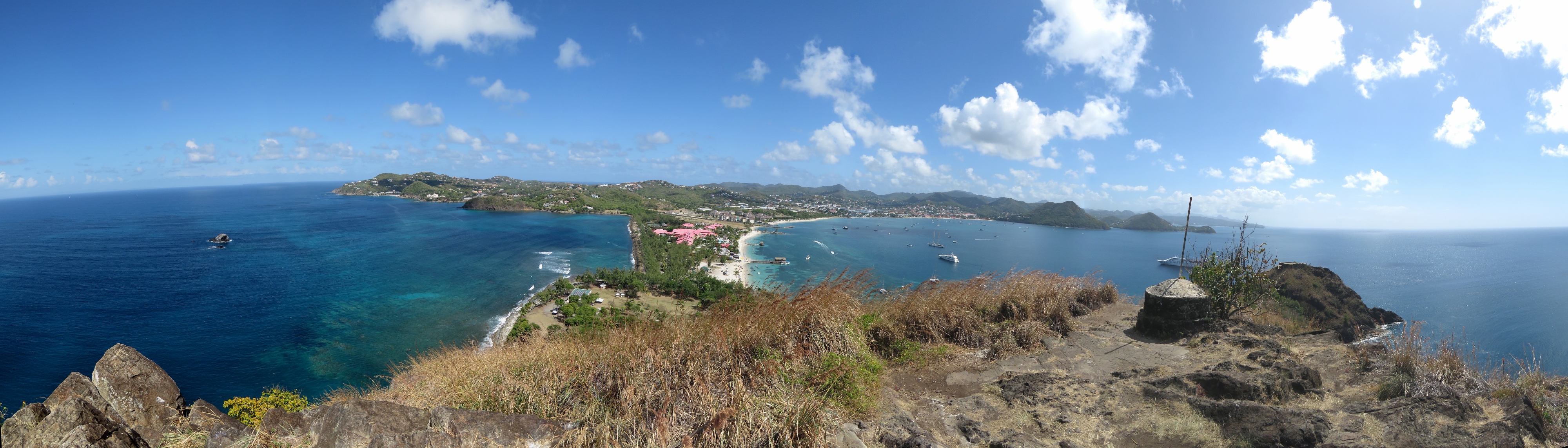 |
Signal Peak
Position: -60 57.89, 14 5.64
The sweeping view from Signal Peak, the highest point on the island. We passed an interpretive sign on the way up that explained how cannons were transported here. A ship moored in the small bay on the northwest end of the island and the cannons were winched up through a canyon from the top of the ship’s mast. Quite the engineering feat.
|
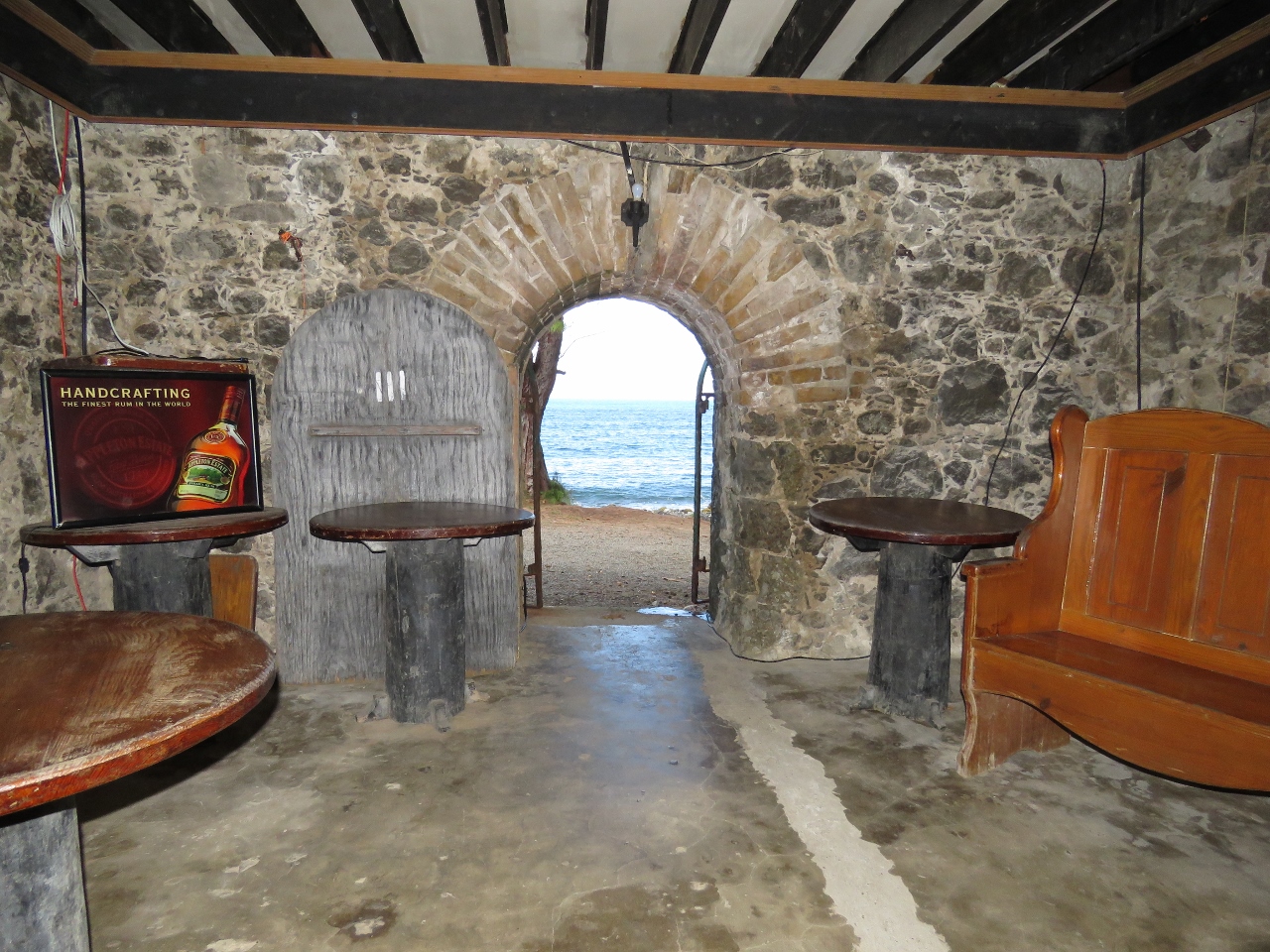 |
Captain’s Cellar
Position: -60 57.72, 14 5.63
We finished the day with a beer at the Captain’s Cellar. The Captain’s Cellar is below the reconstructed Officer’s Mess and has been furnished to resemble an early 19th century English Taven.
|

|
Click the travel log icon on the left to see these locations on a map, with the complete log of our cruise.
On the map page, clicking on a camera or text icon will display a picture and/or log entry for that location, and clicking on the smaller icons along the route will display latitude, longitude and other navigation data for that location. And a live map of our current route and most recent log entries always is available at http://mvdirona.com/maps. |
If your comment doesn't show up right away, send us email and we'll dredge it out of the spam filter.