
The Drysdale River has several miles of sandbars to negotiate, and isn’t considered as scenic as some of the other rivers in the Kimberley. So we skipped it on the westerly run and stopped there on the return trip after leaving Freshwater Bay. Rather than take on the sandbars, we anchored at the mouth and ran the tender in. Although our main reason for stopping there was to visit the river itself, the beach off the anchorage turned out to be as interesting and scenic as the river.
Trip highlights from July 2nd and 3rd follow. Click any image for a larger view, or click the position to view the location on a map. And a live map of our current route and most recent log entries always is available at http://mvdirona.com/maps
 |
Middle Rock
Position: 126 20.82, -13 58.31
The channel between Middle Rock and Mary Island was wide and deep, but Middle Rock to our north still looked rather ominous.
|
 |
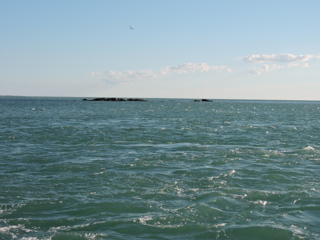
Current
Position: 126 20.86, -13 58.29
We were about a third of the way into a 15ft rising exchange and the current was running swiftly against us. At 2100RPM we’d normally be doing about 8.7 knots, but we’re only making 3 knots, with a terrible fuel economy of 0.33 miles per gallon. Now there’s a strong current.
|
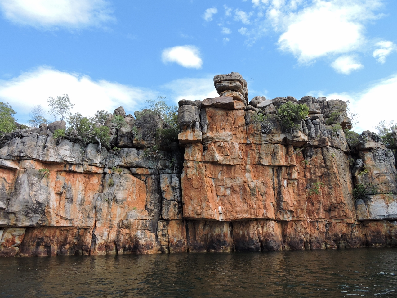 |
Drysdale River
Position: 126 56.31, -14 1.37
The Drysdale River has several miles of sandbars to negotiate, so we anchored at the mouth and ran the tender in. The gorges at the head weren’t as tall as in some of the other rivers, but were equally scenic.
|
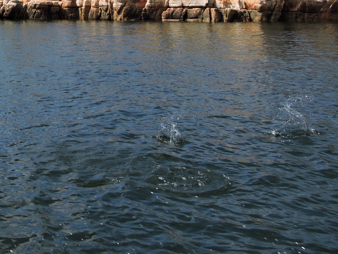 |
Fish
Position: 126 56.31, -14 1.37
Fish were jumping everywhere near the river head. They were leaping so far out of the water that they were splashing us as we went past.
|
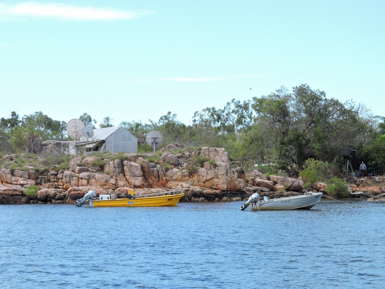 |
Fishing camp
Position: 126 56.34, -14 1.47
At the head is a small fishing camp. No wonder with all those fish there. The man at the bottom right of the photo called us over and warned us that the crocodiles really go after inflatable tenders and that he was tired of rescuing people.
|
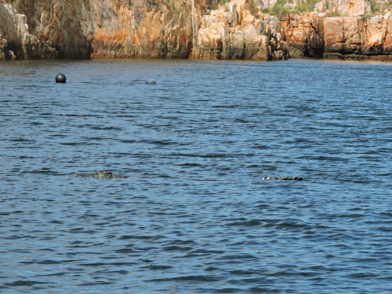 |
Croc or rock?
Position: 126 56.30, -14 1.31
Croc. A really, really big one. It’s head is on the left and part of it’s tail is on the right. We saw a couple this size near the head and they seemed a little too interested in us. That combined with the warning from man at the fishing camp discouraged us from going ashore. We didn’t even want to slow the tender down. So we got our pictures and headed back downriver.
|
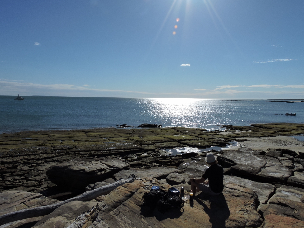 |
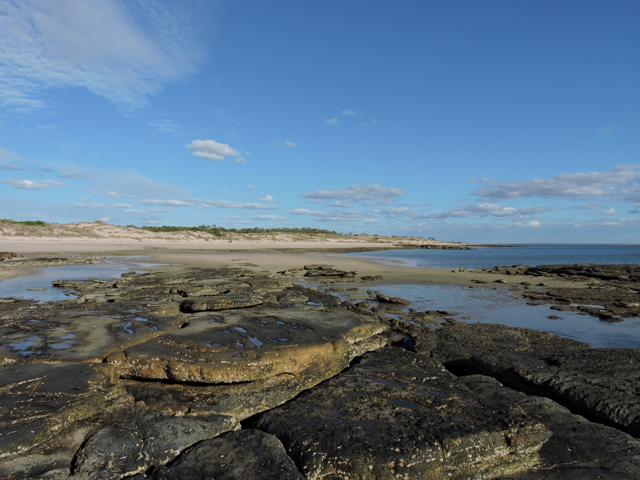
Lunch
Position: 126 48.26, -13 54.36
After returning downriver, we had lunch on the rocks overlooking the anchorage. Dirona is at the far left of the picture and the tender is on the far right. This was a great place to spend the night, with good southeast wind protection. Depths were around 6ft on a zero tide at Napier Broome Bay.
|
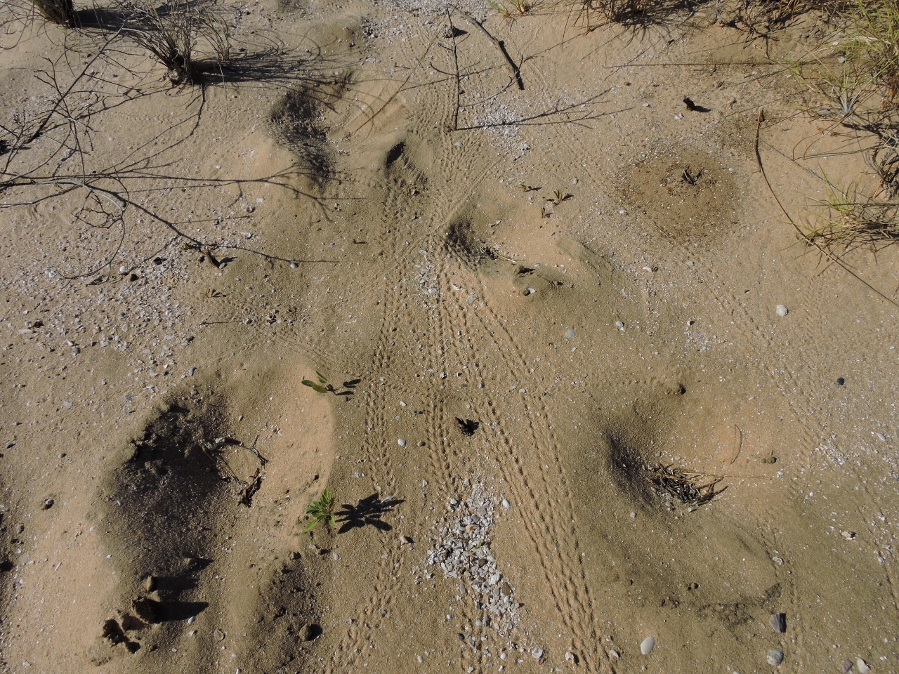 |
Crab tracks
Position: 126 48.29, -13 54.34
Thousands of hermit crabs lived on the beach off the anchorage, leaving trails that looked like miniature tire tracks.
|
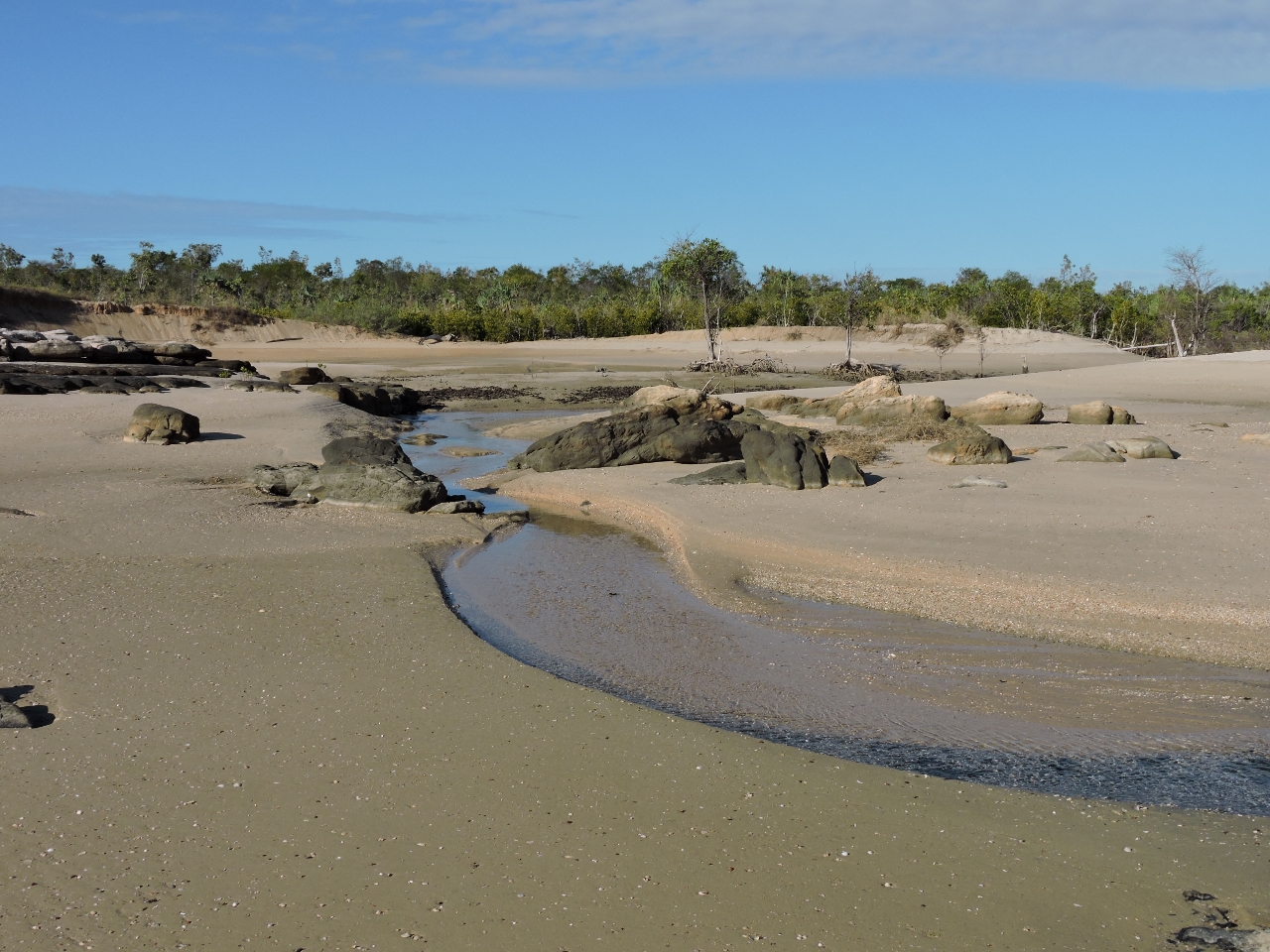 |
Tidal creek
Position: 126 48.28, -13 54.15
A lovely tidal creek drains through the beach at low tide.
|
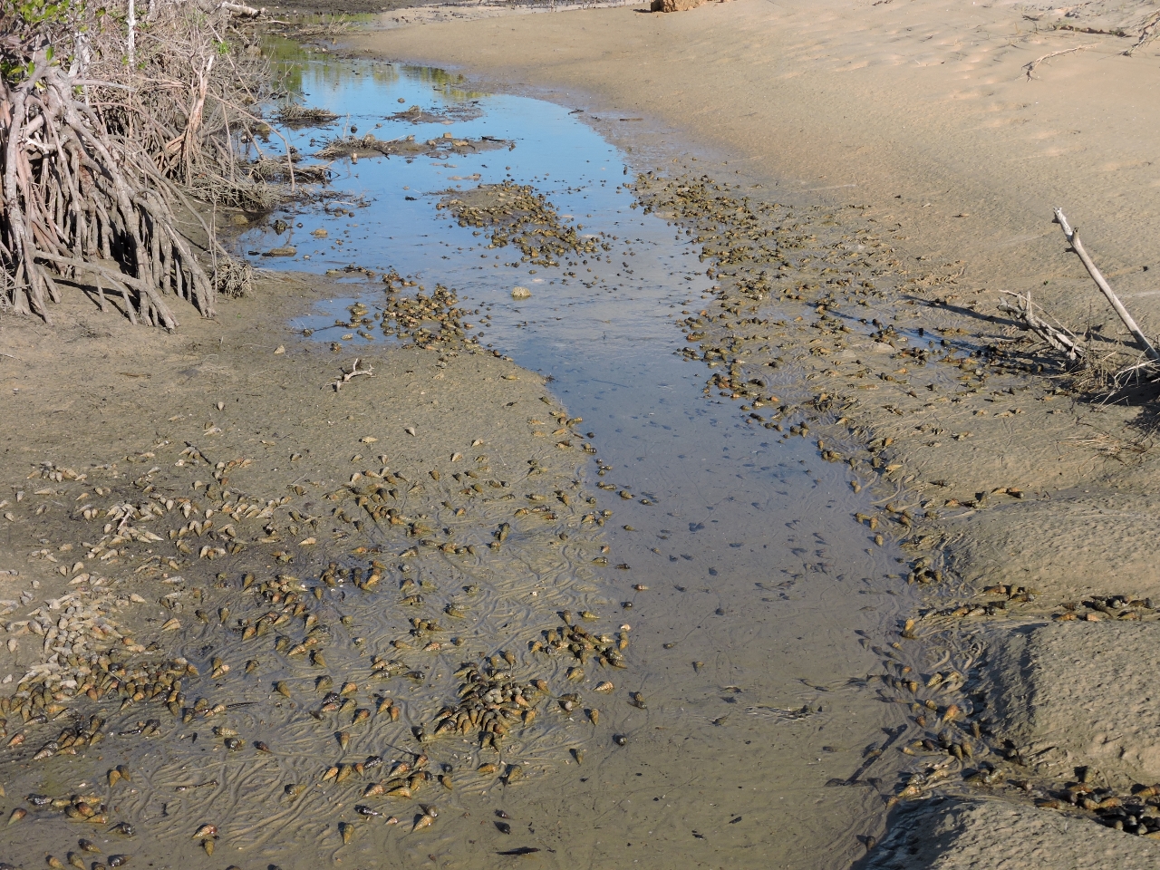 |
Snails
Position: 126 48.30, -13 54.17
At high tide, this estuary fills with saltwater. With only about 6ft of tide, the estuary had mostly drained, uncovering the tiny snails that inhabit the bottom.
|
 |
Beach
Position: 126 48.23, -13 54.14
Our main reason for stopping here was to visit the Drysdale River, but the beach off the anchorage turned out to be as interesting and scenic as the river.
|
 |
Jim’s Bay
Position: 126 59.46, -13 45.66
Winds were predicted to blow 20 knots from the southeast, but as we rounded Cape Londonerry, we were seeing steady 30 knots with gusts near 40. The seas were 6-10ft on perhaps 6 seconds, and right on the bow. We tried seeking shelter in what our cruising guide called Jim’s Bay, but only the outer part of the bay had the depth to float the boat and it was fairly rough out there with the swell passing between the mainland and the island that provided the only protection.
|
|
Butterfly Bay
Position: 127 2.09, -13 49.16
We also considered anchoring in what the cruising guide called Butterfly Bay. We were able to work further into the bay than at Jim’s Bay, but conditions were surprisingly much worse. We barely had sufficient anchoring depth and with little wind protection, strong southeast winds kept us beam-to a significant swell. We also encountered tight 12-15ft seas off the south entrance to the bay. So we decided to keep moving knowing we had a nice, sheltered anchorage in Koolama Bay at the entrance to the King George River.
|
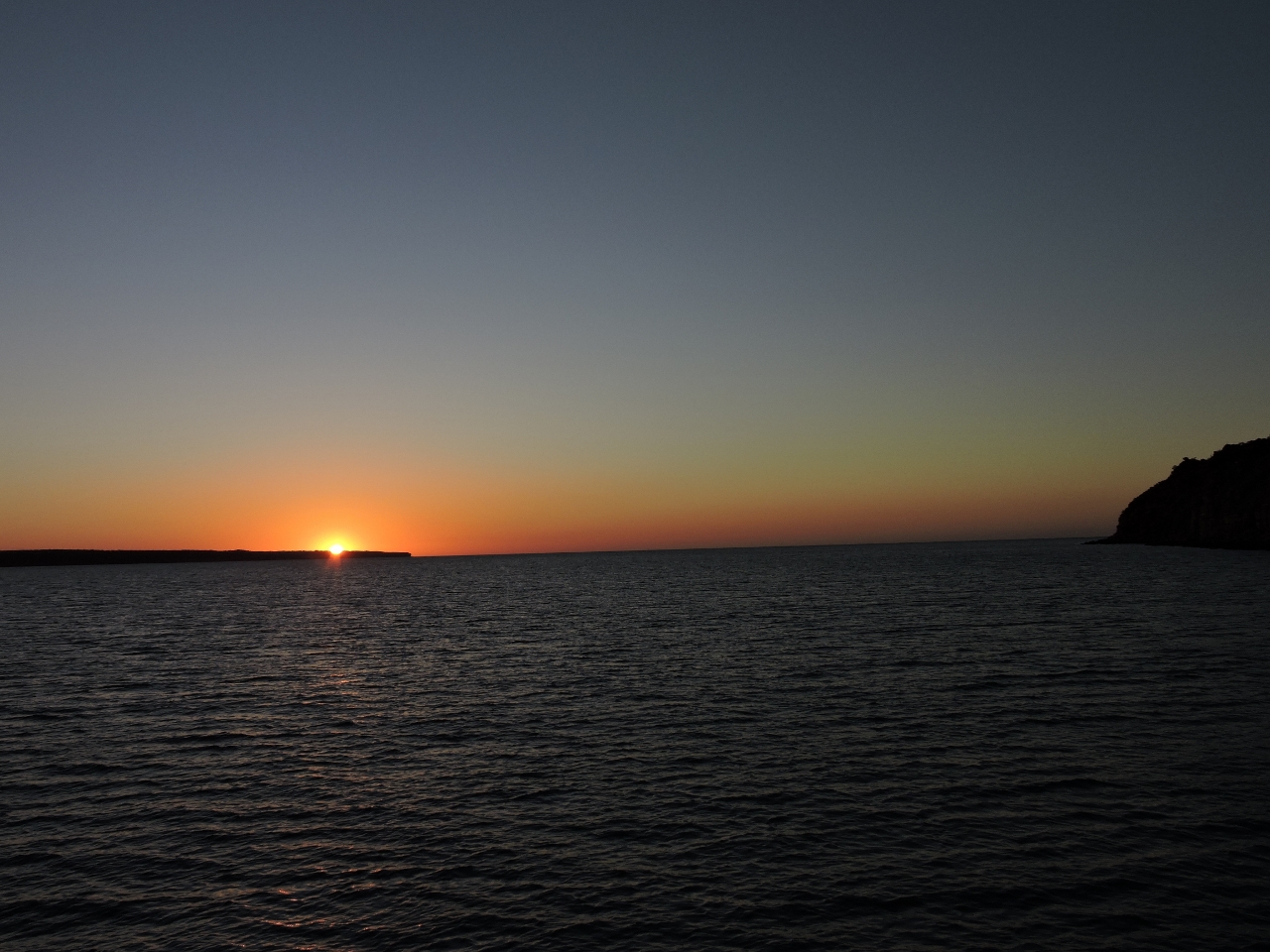 |
Koolama Bay
Position: 127 19.74, -13 56.08
We enjoyed the sunset in sheltered waters at Koolama Bay.
|

|
Click the travel log icon on the left to see these locations on a map, with the complete log of our cruise.
On the map page, clicking on a camera or text icon will display a picture and/or log entry for that location, and clicking on the smaller icons along the route will display latitude, longitude and other navigation data for that location. And a live map of our current route and most recent log entries always is available at http://mvdirona.com/maps. |
If your comment doesn't show up right away, send us email and we'll dredge it out of the spam filter.
Glad you got the fortuitous warning about the crocs attacking tenders and you both are safe. Obviously a lot of other interesting things to see without the worries.
Before we left on the Kimberley trip we had heard stories of crocodiles biting inflatable tenders, and several people recommended we get a “tinnie” (aluminum tender) for the trip, but that wasn’t really an option for us. To minimize the risk, we’d been lifting ours up every night, where normally we’d just leave it floating behind us if we weren’t planning to change anchorages. So the warning wasn’t really new information, but that and those big crocs eyeing us did encourage is to keep moving where in other rivers we might have landed to walk ashore.