Our next stop after the Mitchell River was the Hunter River. While we were excited to see a crocodile or two in the previous rivers, here we pretty much lost count of the crocodile sightings. We passed one that was rearing out of the water to smash its catch against the shore, and captured video of it downing a large fish. Loud crunching noises filled the air as bones broke in its prey. If we didn’t already respect how dangerous these animals are, this certainly reinforced it.
Trip highlights from June 10th and 11th follow. Click any image for a larger view, or click the position to view the location on a map. And a live map of our current route and most recent log entries always is available at http://mvdirona.com/maps
 |
Voltaire Passage
Position: 125 39.62, -14 13.26
We passed through Voltaire Passage shortly before a 8.3ft (2.5m) low water at Cape Voltaire on a 5:50 9.5 ft (2.89m) exchange. The minimum depth we saw going through was 70′, with little current.
|
 |
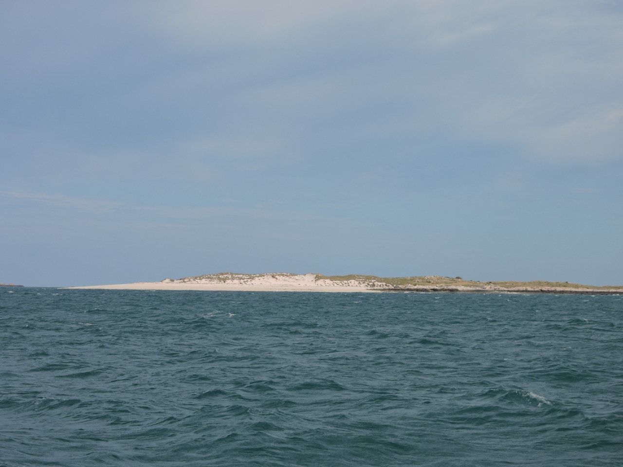
Rainforest Ravine
Position: 125 13.49, -14 52.14
We arrived at scenic Rainforest Ravine at sunset and left shortly after sunrise. We would have happily spent more time there if the Hunter River wasn’t calling.
|
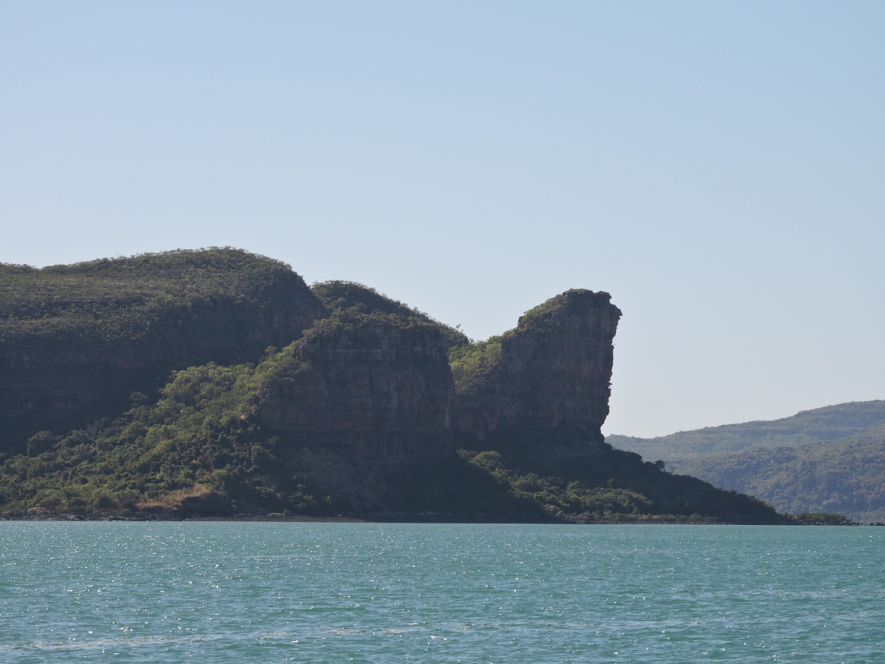 |
Bluffs
Position: 125 21.40, -15 2.10
Dramatic twin bluffs at the Hunter River mouth.
|
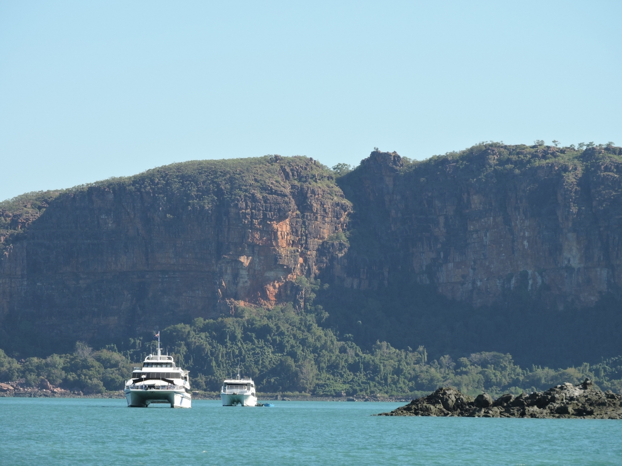 |
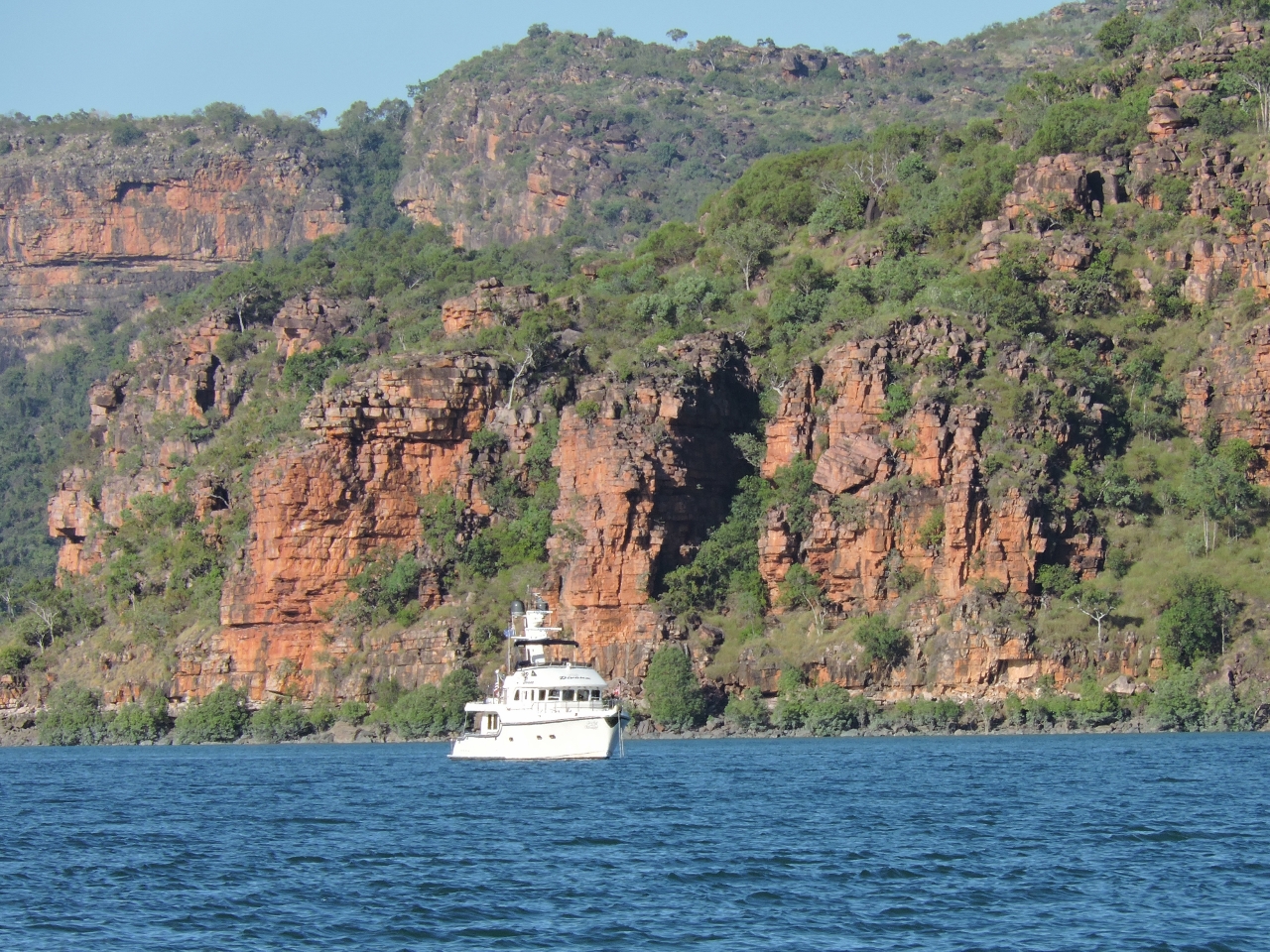
Charter boats
Position: 125 21.40, -15 2.10
The charter boats Odyssey and Reef Prince at anchor off the beach on Naturalists Island. We’re told they transfer guests via plane from there.
|
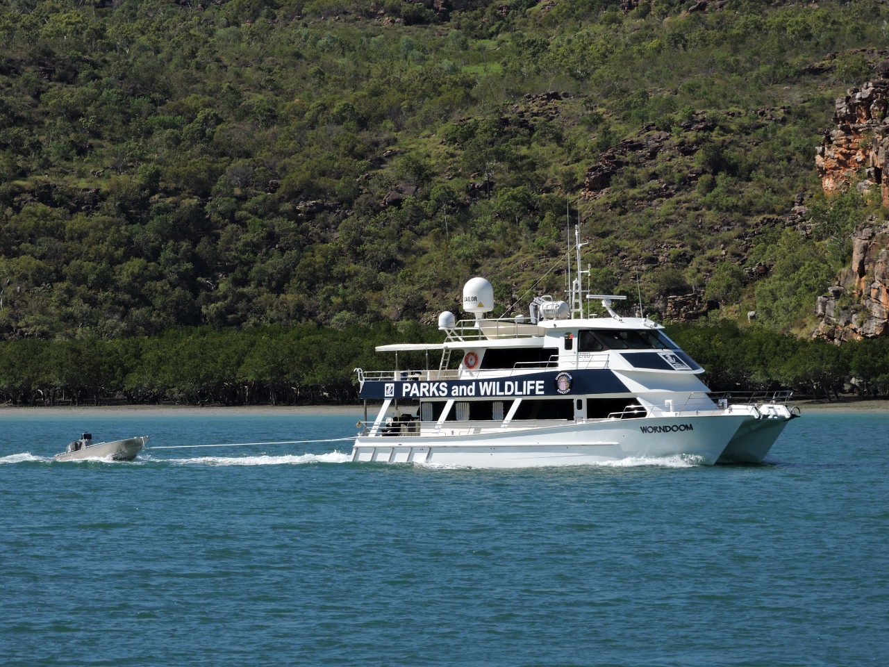 |
Worndoom
Position: 125 25.54, -15 1.38
The Department of Parks and Wildlifes patrol vessel Worndoom was exiting the Hunter River as we approached. We’d earlier heard them on the radio arranging to board the charter boats at Naturalists Island, possibly to brief passengers arriving in the area. We’re starting to see a lot more boats in this area. Most have been commercial though. We’ve only seen four or five pleasure craft since leaving Darwin.
|
 |
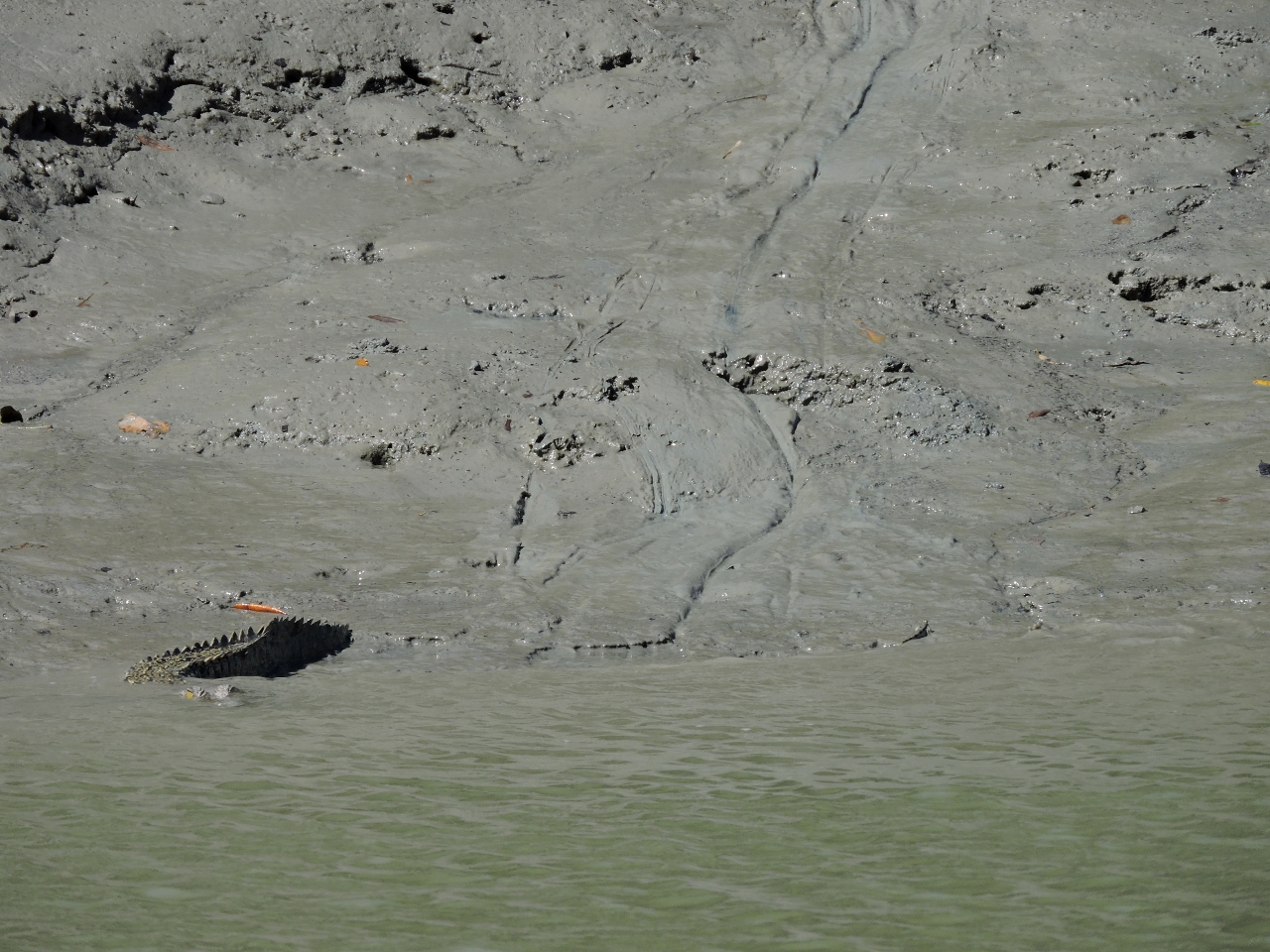
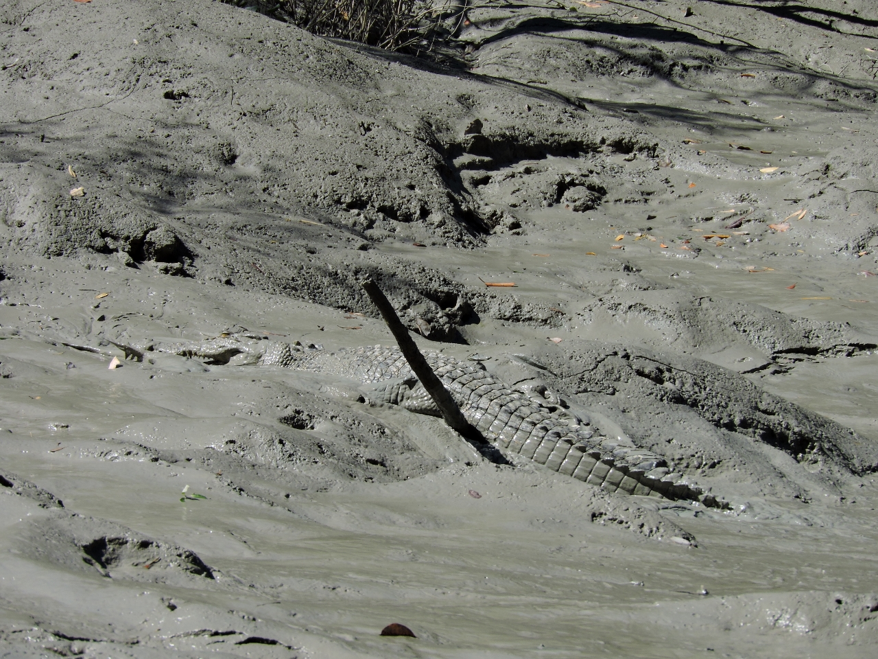
Croc tracks
Position: 125 28.86, -14 59.93
Once anchored, we set off on a dinghy tour of the Hunter River. We soon so first evidence of crocodiles, and then lots of actual crocodiles. These tracks in the mud are where a crocodile has come ashore.
|
 |
Croc slide
Position: 125 29.39, -14 58.52
Slide pattern in the mud where a crocodile has slide into the water. Its tail is still visible at the bottom left of the photo (click image for a larger view).
|
 |
2nd croc
Position: 125 29.74, -14 58.10
.
|
 |
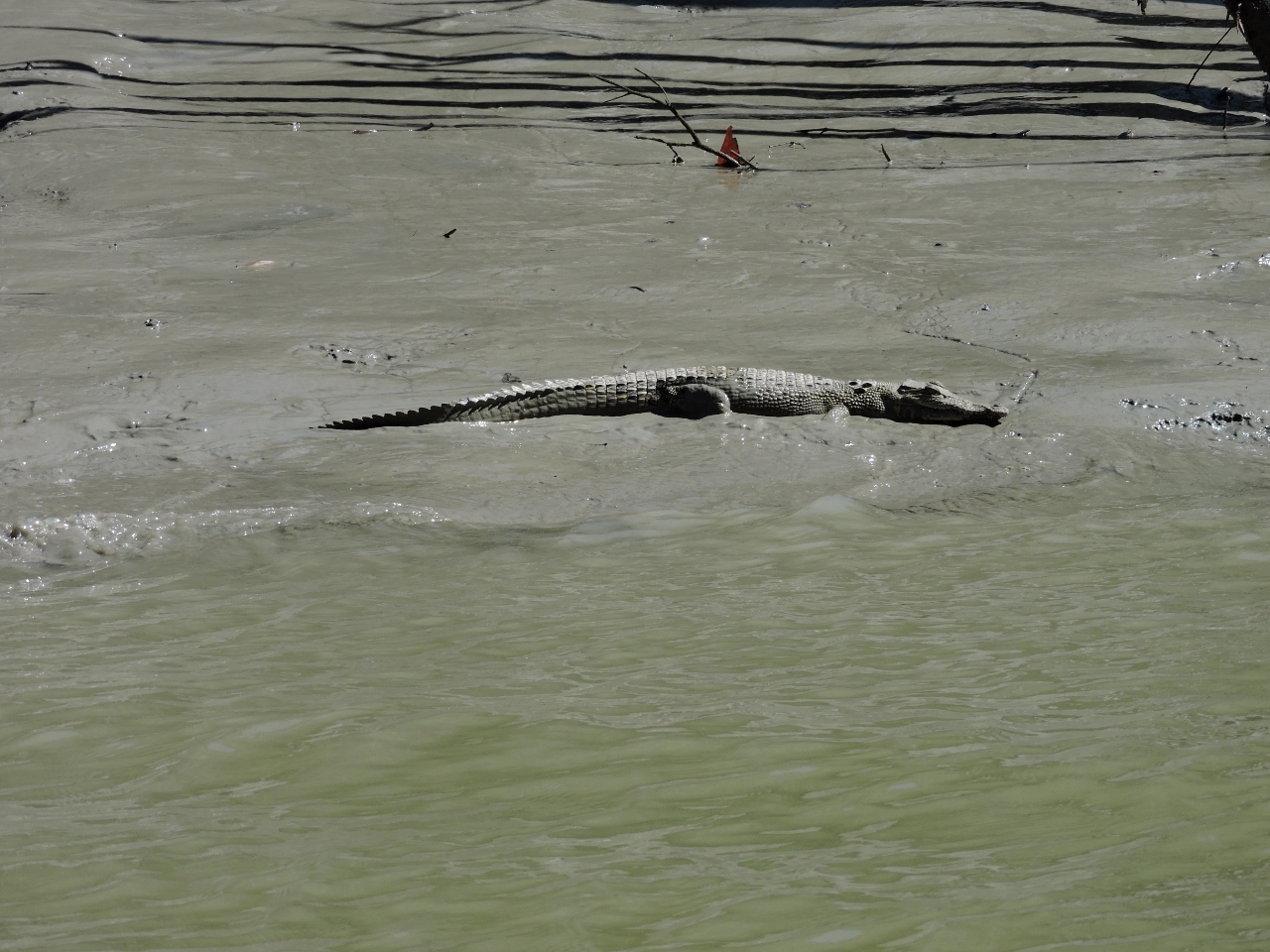
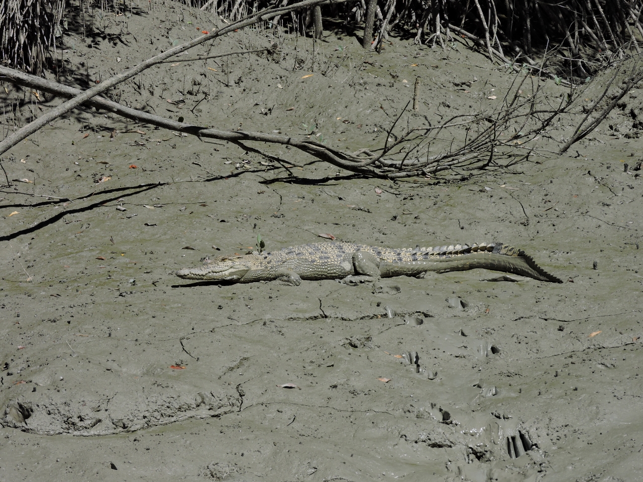
3rd croc
Position: 125 29.78, -14 57.81
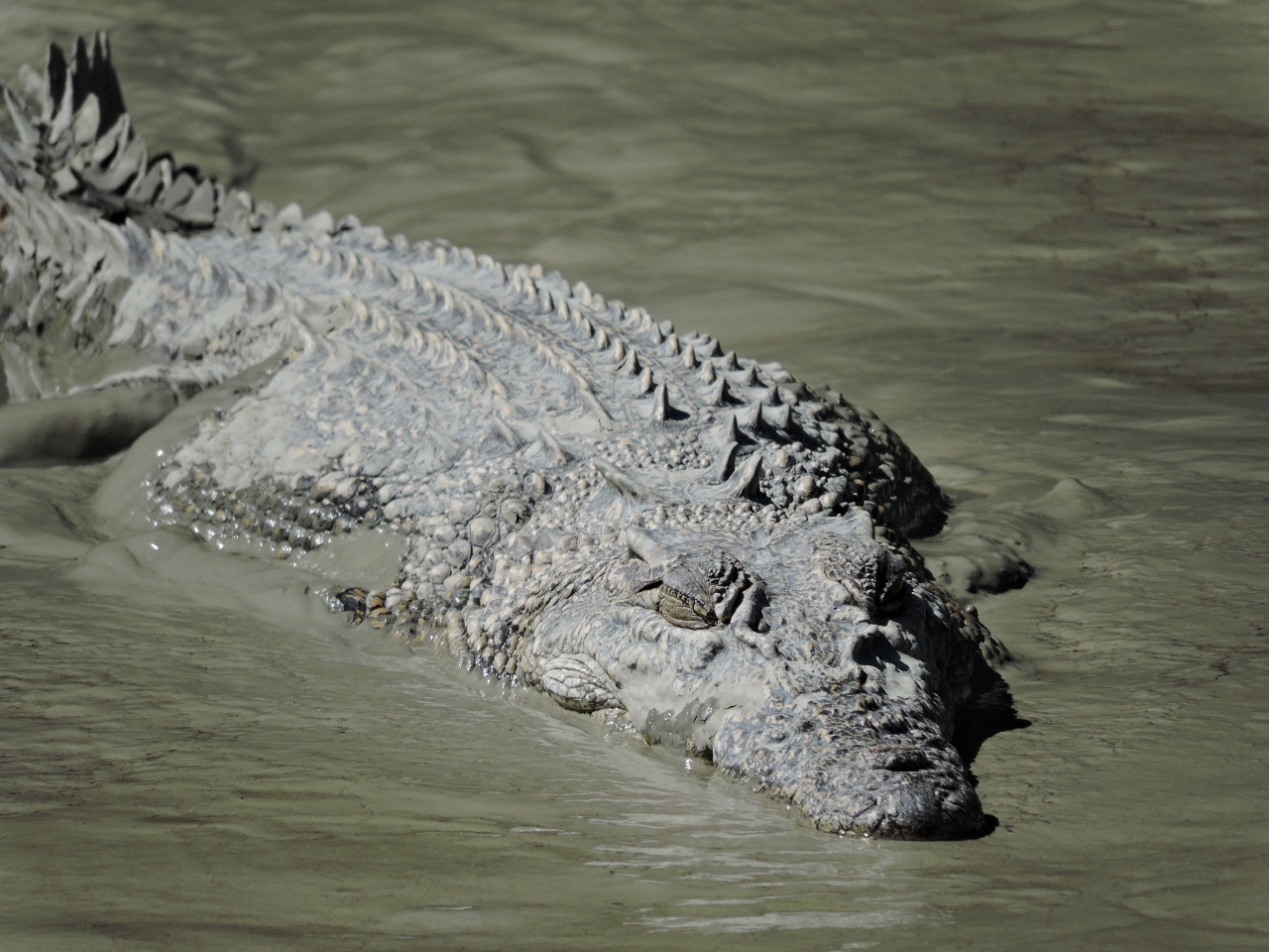
The crocs sure look fierce, and prehistoric.
|
 |
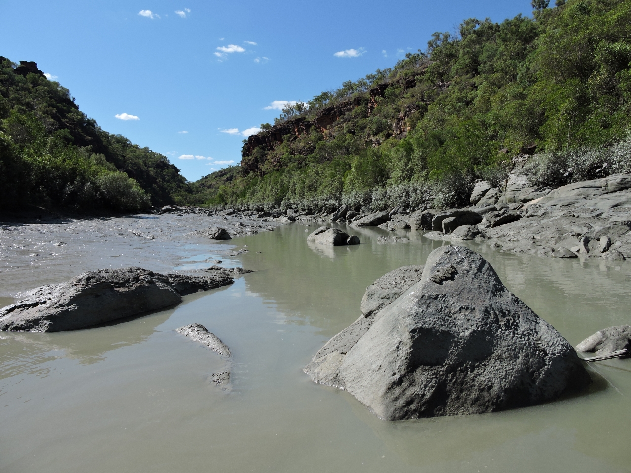
Shallows
Position: 125 29.77, -14 57.83
We’d reached this point about a half-hour after a 9.1ft (2.78m) low tide at Maret Island on an 8:13 7.6ft (2.31m) exchange. We were were hoping to reach the rock bar and make the hour-long walk to Donkin Falls on a rising tide. But the water levels in the river here below 2ft and we couldn’t get any farther.
|
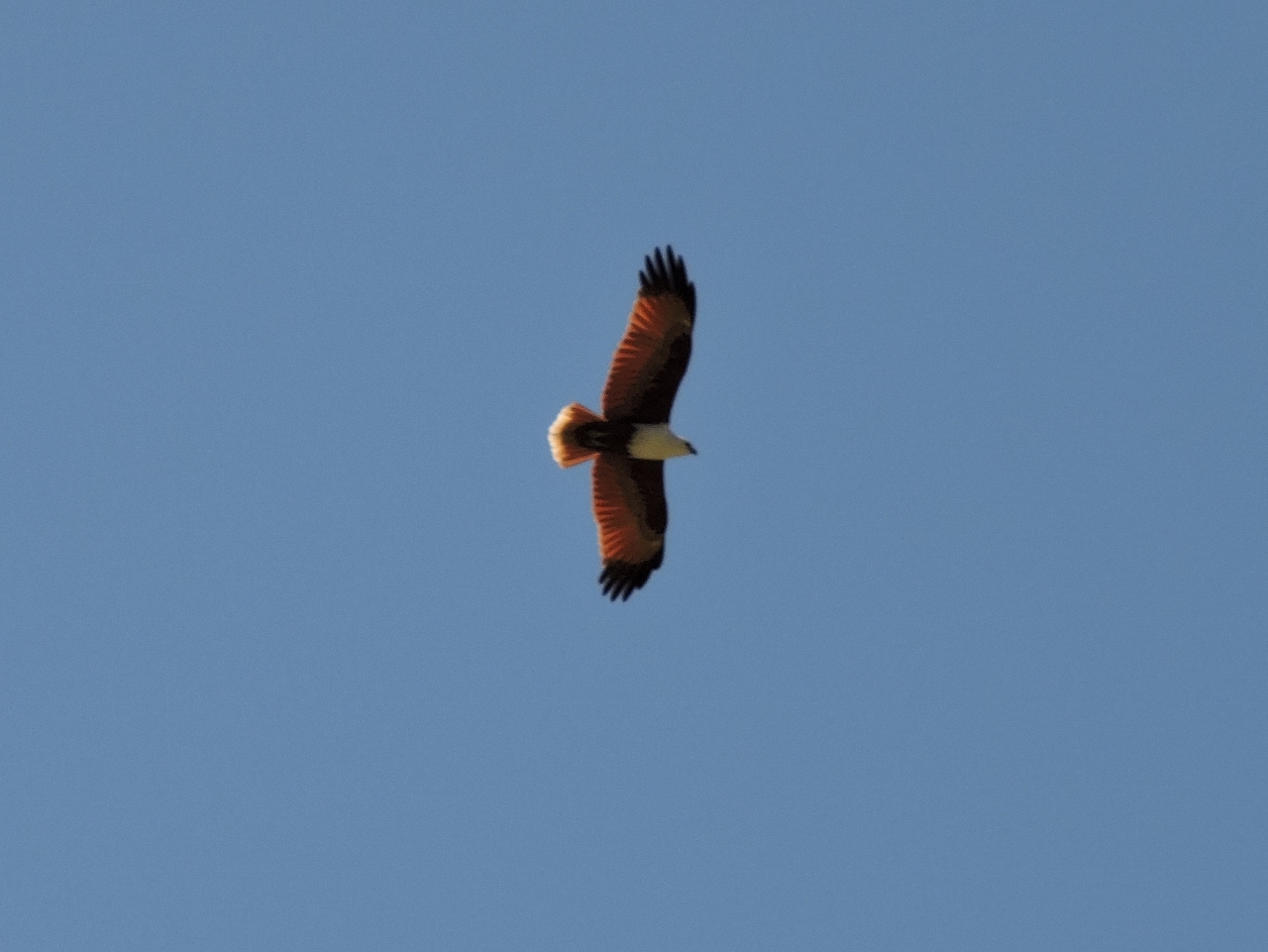 |
Eagle
Position: 125 29.74, -14 57.93
Crocodiles aren’t the only wildlife in the Hunter River. The area also is full of birds and fish. Several beautiful rust-colored eagles were soaring above us.
|
 |
4th croc
Position: 125 29.74, -14 57.94
.
|
 |
5th croc
Position: 125 29.75, -14 57.89
.
|
 |
More shallows
Position: 125 29.99, -14 59.58
We tried our luck at the southern arm of the Hunter River to see if we could make the one-hour walk to the Hunter Falls. But again 90 minutes after low water at Maret Island, depths dropped below 2ft well before the rock bar. And as with the northern arm, we saw plenty of crocs.
|
 |
7th croc
Position: 125 29.94, -14 59.60
.
|
 |
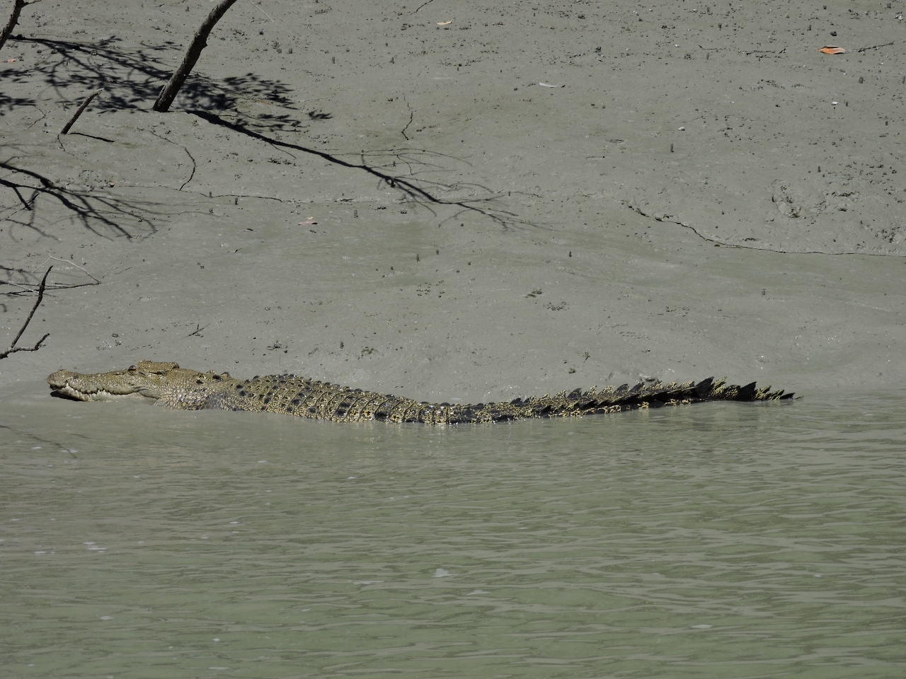
Croc or rock?
Position: 125 29.40, -14 59.27
We started playing a guessing game of “Croc or Rock?” whenever we saw something in the water. This was another croc.
|
 |
Still shallow
Position: 125 29.94, -14 57.44
We returned back up the north arm of the Hunter River, this time now just over three hours after low water at Maret Island. We got farther, but still couldn’t reach the rock bar. The tide was rising quickly and we might be able to reach the bar in another hour or two, but at that point it would be close to 3pm and getting too late for a 2-hour return hike. And we weren’t even sure if the falls would be running anymore, so gave up on that idea.
|
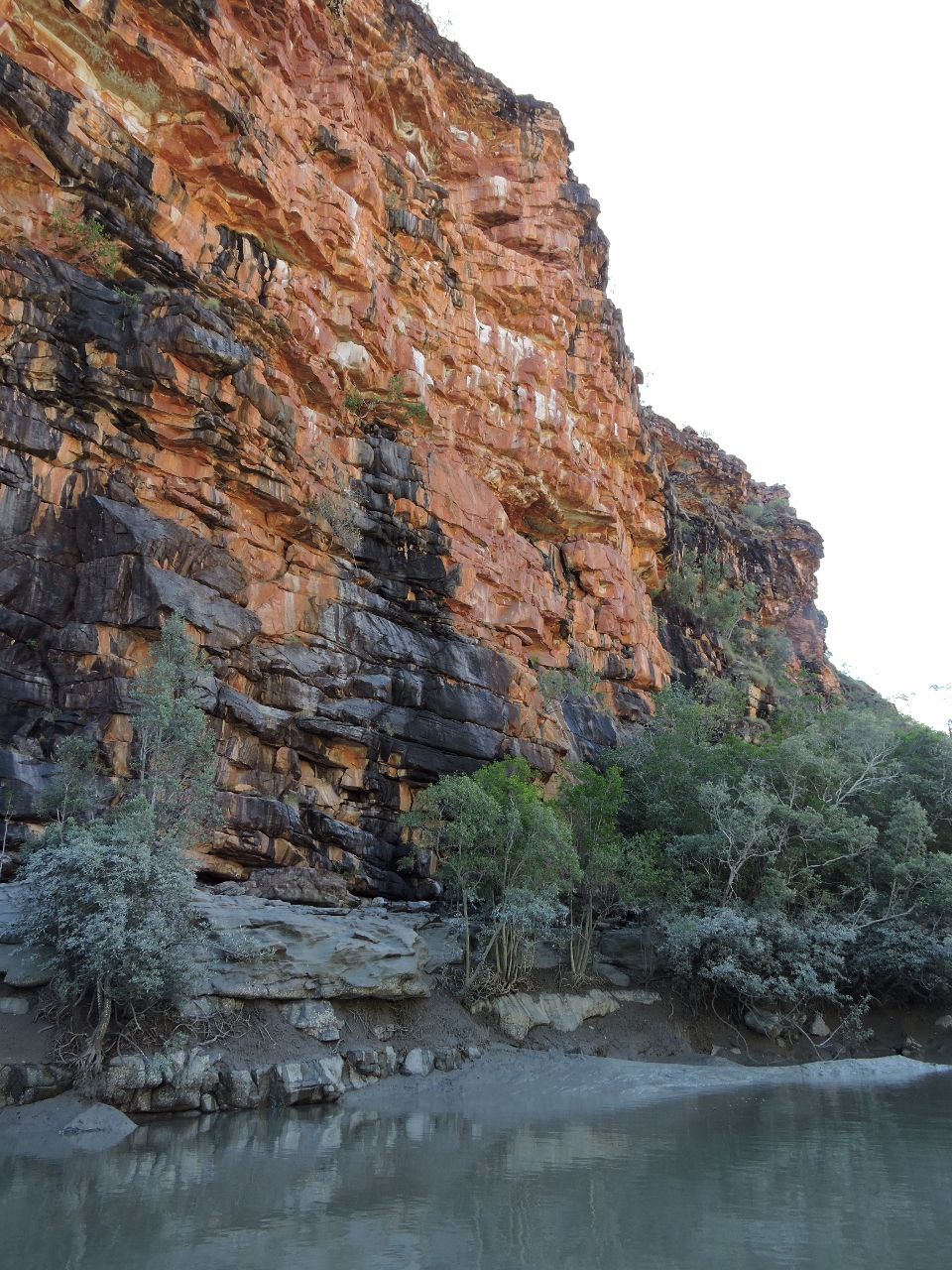 |
Cliffs
Position: 125 29.88, -14 57.49
We enjoyed our trips upriver, despite not being able to reach the falls. The crocs were exciting and the scenery was impressive.
|
 |
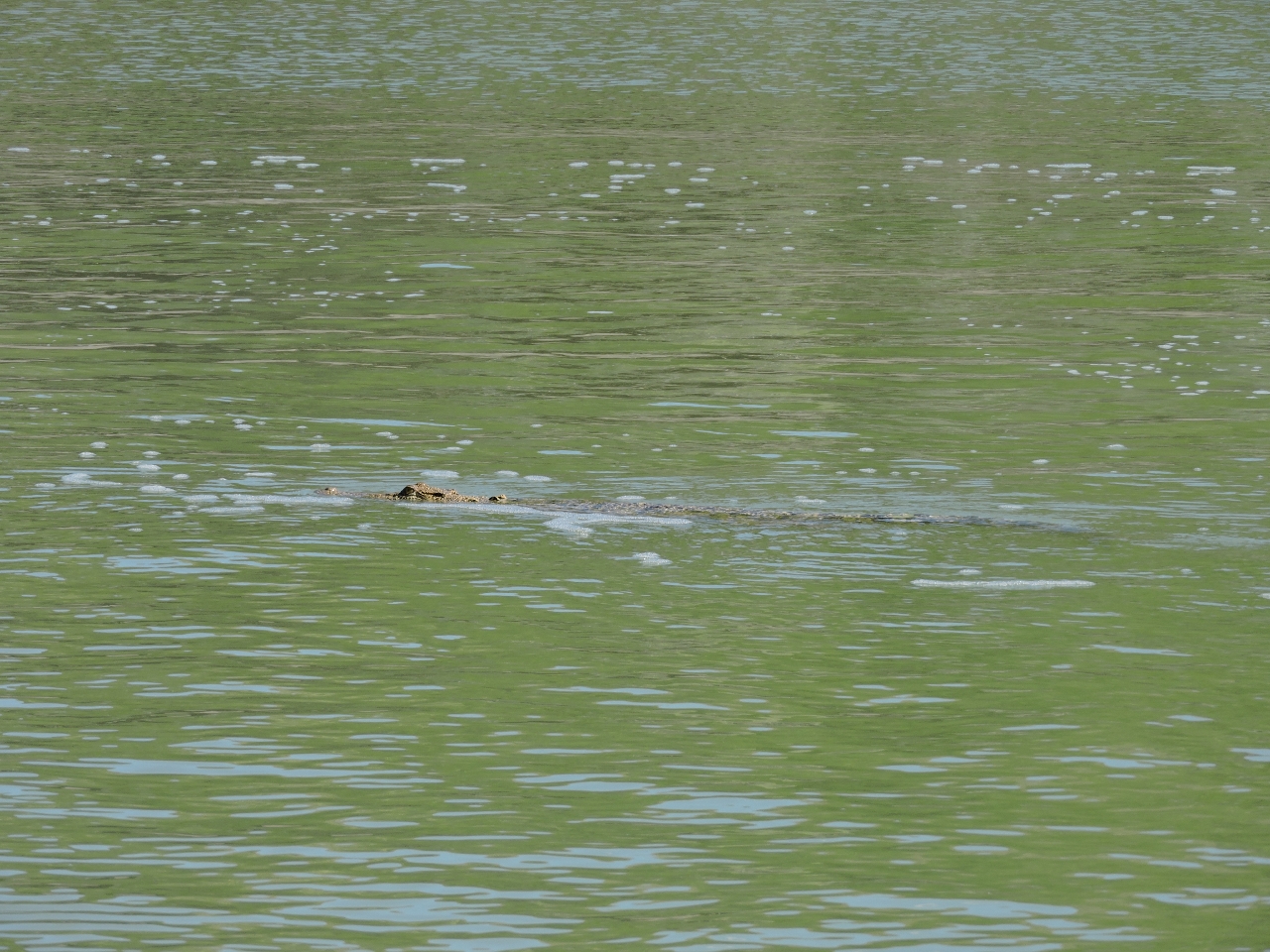
Lunch
Position: 125 29.75, -14 57.90
As we returned downstream, a large crocodile was rearing out of the water and smashing its catch against the shore. The video https://youtu.be/uUiHBXAEO_s (0:39) shows it downing a large fish. The sound didn’t come through so well in the video, but we could hear loud crunching noises as bones broke in its prey. If we didn’t already respect how dangerous these animals are, this certainly reinforced it.
|
 |
Trees
Position: 125 26.64, -15 0.07
We next toured the Purulba Creek off the north shore of the Hunter River. We’re getting close to high tide now and these trees are partway underwater. It looks more like a small flood than normal tidal action.
|
 |
Purulba Creek
Position: 125 24.55, -14 59.24
The scenery along the Purulba Creek was beautiful, with striking red bluffs along shore.
|
 |
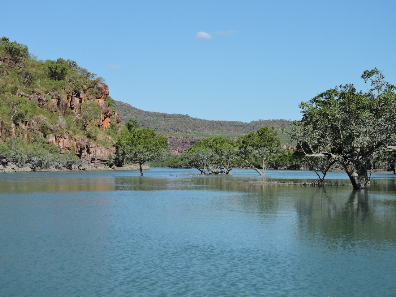
At anchor
Position: 125 25.19, -15 1.35
Looking upriver to our anchorage, with soaring red cliffs on both sides.
|
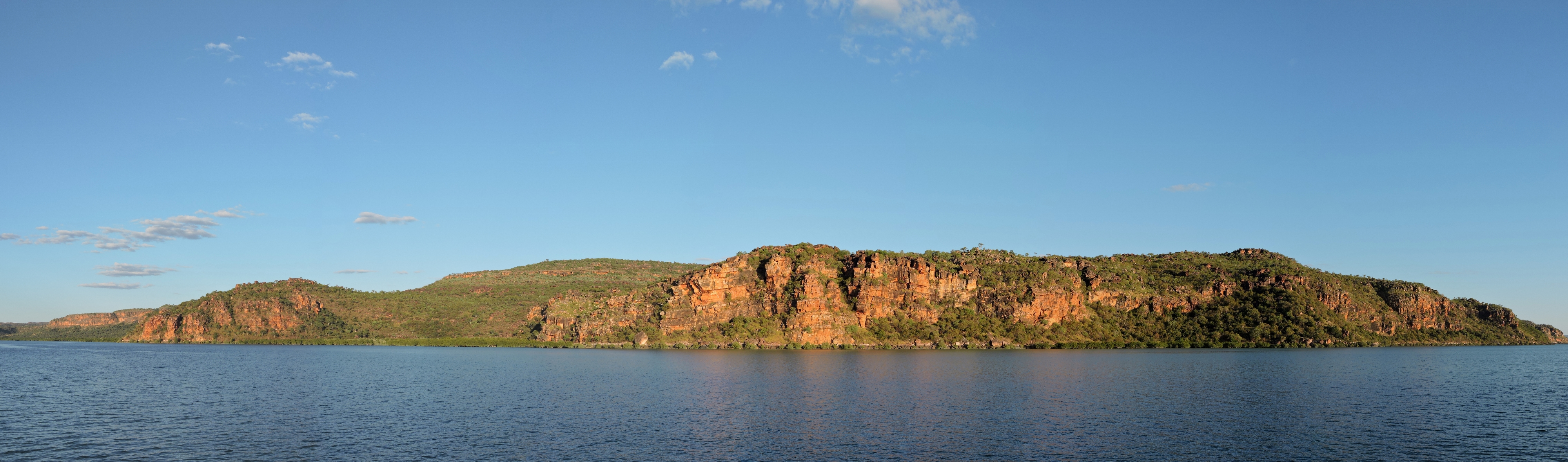 |
Anchorage view
Position: 125 25.55, -15 1.37
A panorama from Dirona of the cliffs to the south of our anchorage.
|
 |
Crane bushing
Position: 125 25.55, -15 1.37
We park the crane by clipping the hook into deck and tightening the rope. Due to a leak in the boom cylinder, over the course of a half-day the boom will fall and the crane comes loose. The right answer long-term is to replace the boom cylinder, but it’s both expensive and we don’t have a spare on board. So James built a bushing to prevent the crane boom from falling below a certain point.
|
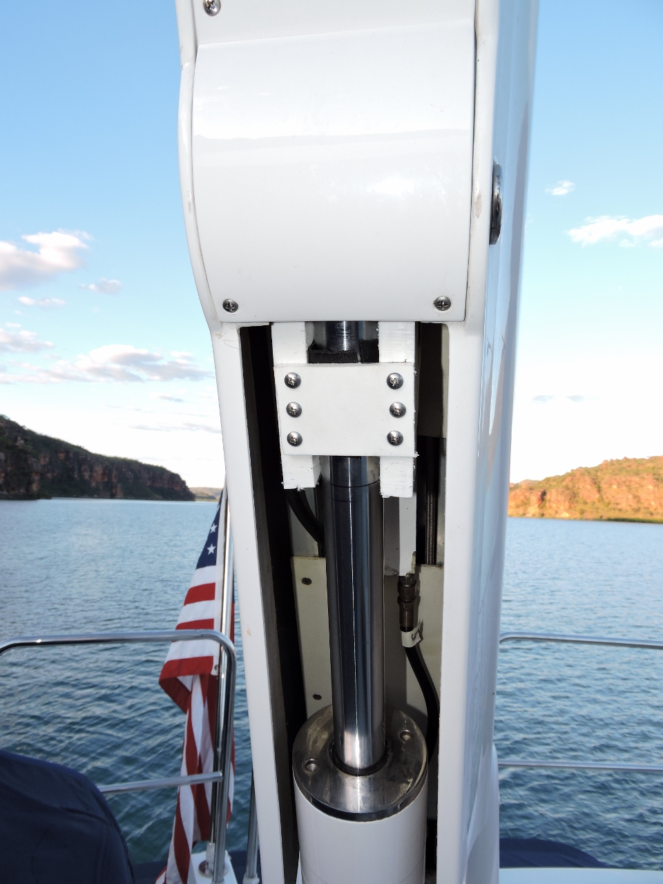 |
Finished product
Position: 125 25.55, -15 1.37
The fabricated bushing in place. to prevent the crane boom from falling.
|

|
Click the travel log icon on the left to see these locations on a map, with the complete log of our cruise.
On the map page, clicking on a camera or text icon will display a picture and/or log entry for that location, and clicking on the smaller icons along the route will display latitude, longitude and other navigation data for that location. And a live map of our current route and most recent log entries always is available at http://mvdirona.com/maps. |
If your comment doesn't show up right away, send us email and we'll dredge it out of the spam filter.